WWW.KARLSWALKS.CO.UK
PICTURES AND TRIP REPORTS FROM MY WALKS IN THE ENGLISH LAKE DISTRICT
|
|
|
|
The weather forecast was not to good especially for Bank Holiday Monday (no change there then) but I was determined to get out so I thought I would explore the modest but interesting fells round the Duddon valley. This really was a trip of two halves with Easter Sunday turning out to be a lovely if a bit chilly day. Monday brought torrential rain and low cloud which caused my to alter my planned route.
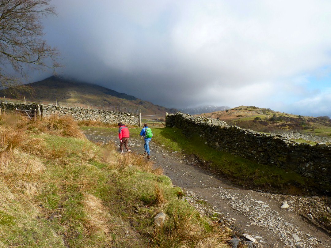
I parked up at Torver and followed the path up towards the Walna Scar road. The weather at first anyway looked a little threatening specially over Coniston Old Man.
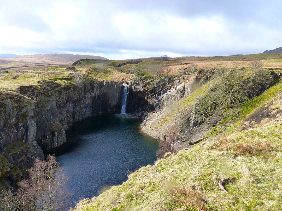
Passing the big hole at Banishead quarry.
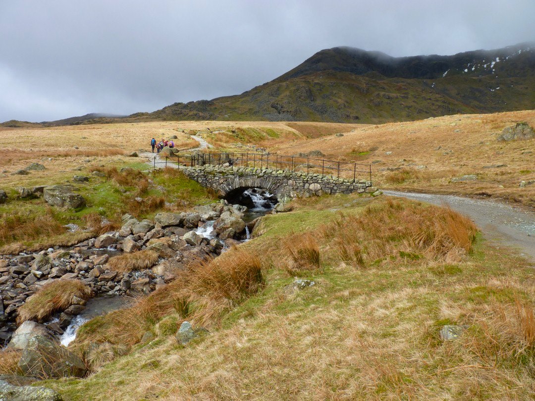
Walna Scar rd is soon reached. The cloud was still hanging round the higher fells.
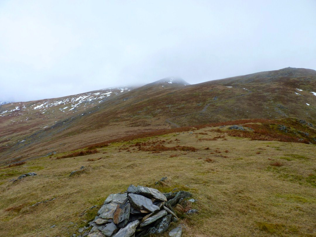
At the top of the pass turn left and its only a short pull up to Walna Scar. This is looking back to Brown Pike - Buck Pike -Dow Crag ridge.
Its an easy walk over White Maiden and on to White Pike, It's quite a drop off White Pike but I found a thin path which did the job
Looking back up to White Pike.
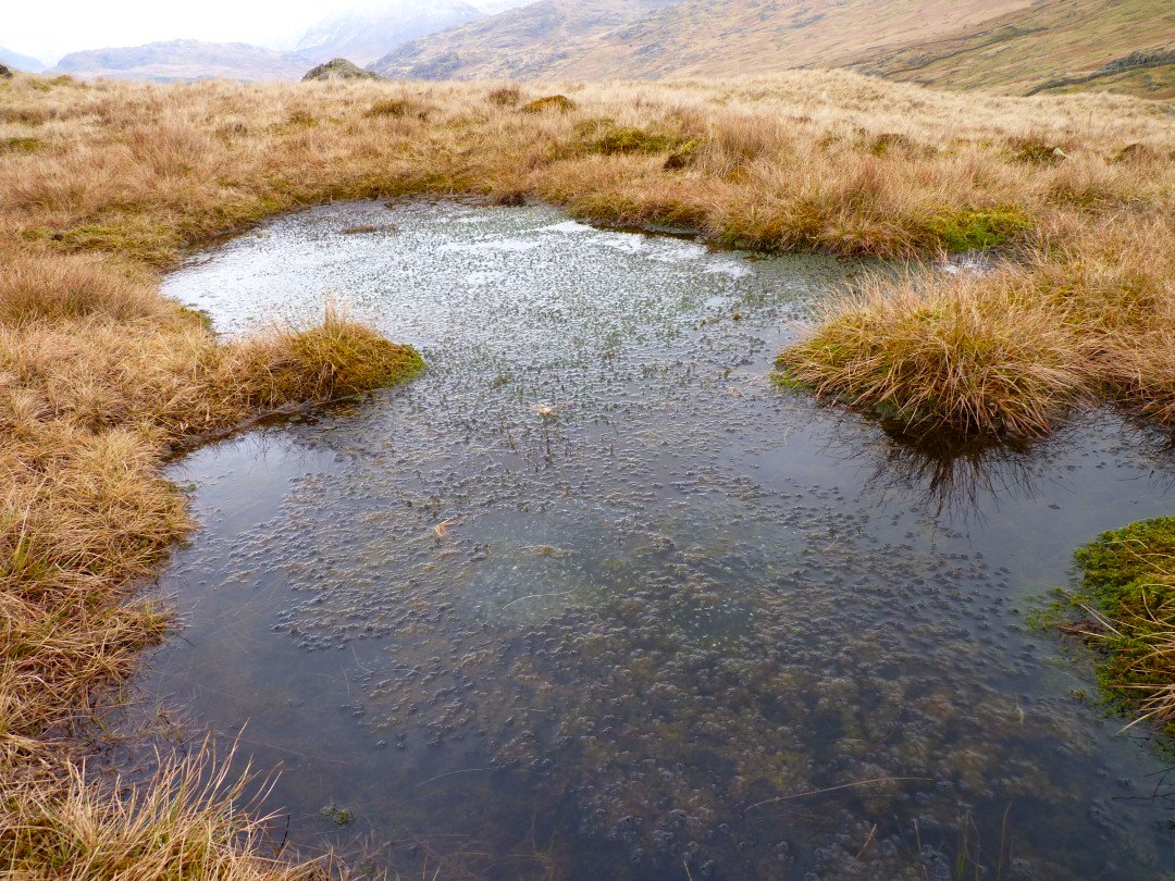
Plenty of Frog Spawn in a little pool on the way to Pikes.
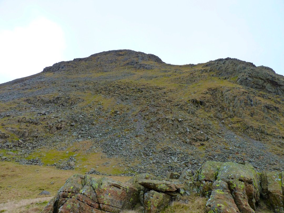
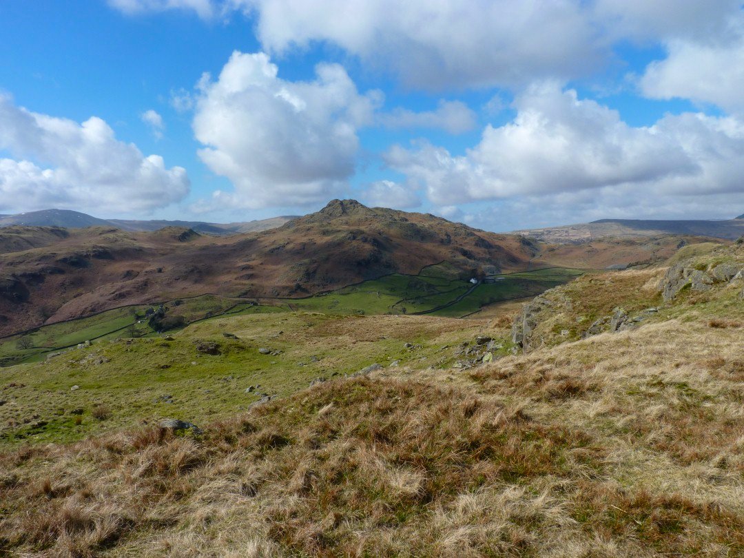
On to Pikes now, looking to the Giants round the head of Eskdale. The cloud seems to be lifting a bit.
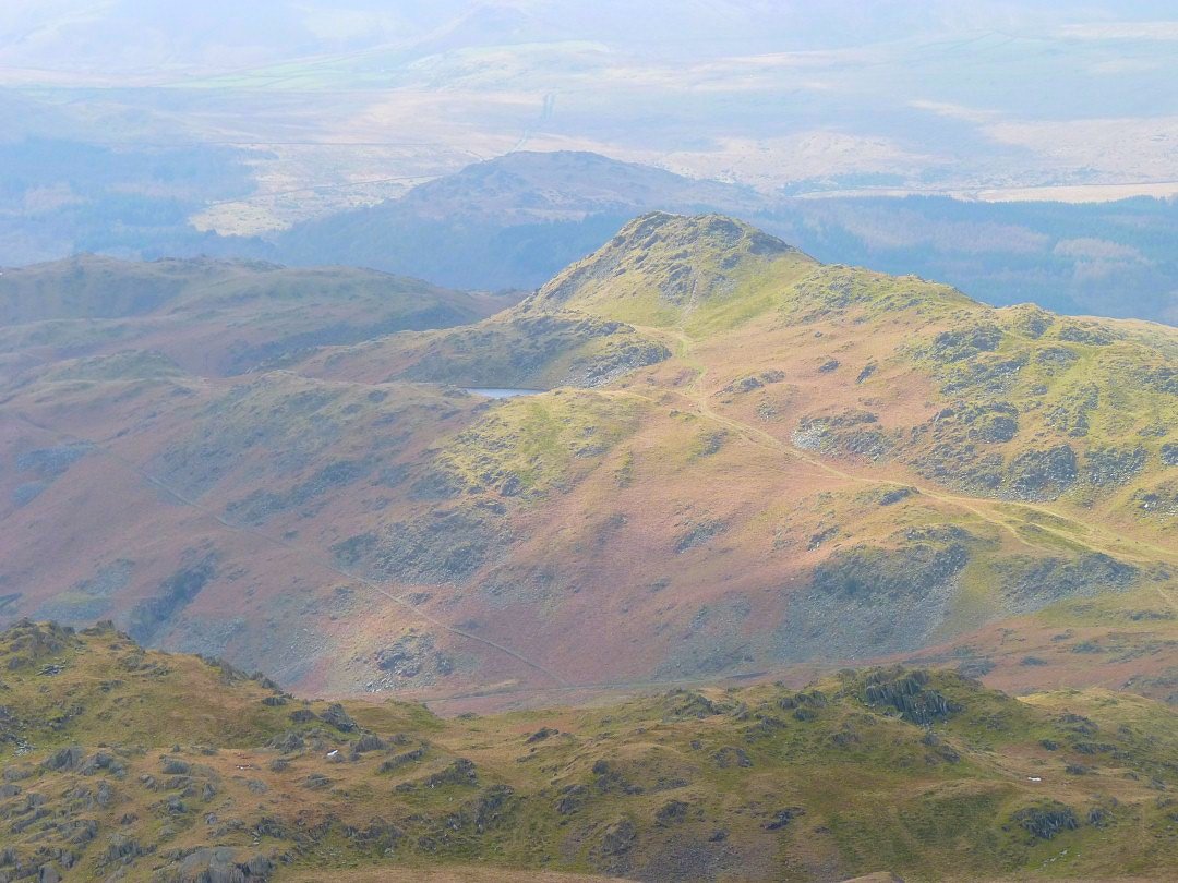
On Caw now looking over to Stickle Pike with it's Tarn nestled on the side of the hill.
Looking down to Seathwaite, the day is brightening up nicely
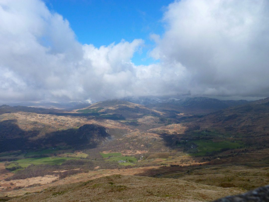
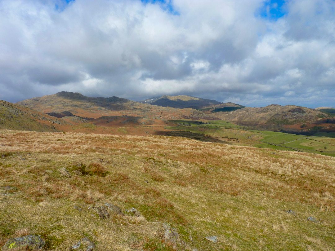
Although the skies are still a little dark over Grey Friar and in the direction of Langdale
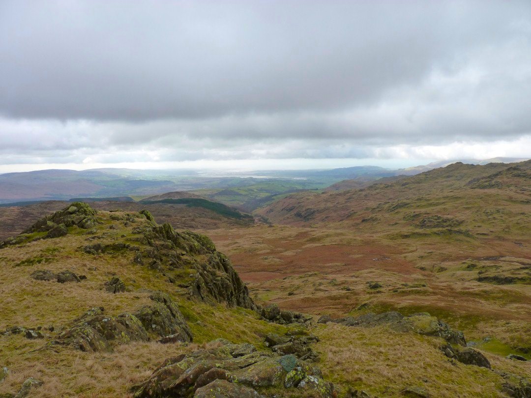
The Knott and the Duddon estuary from Raven Crag.
From the Knott I doubled back heading for the distinctive Stickle Pike.
A view of most of the hills walked so far
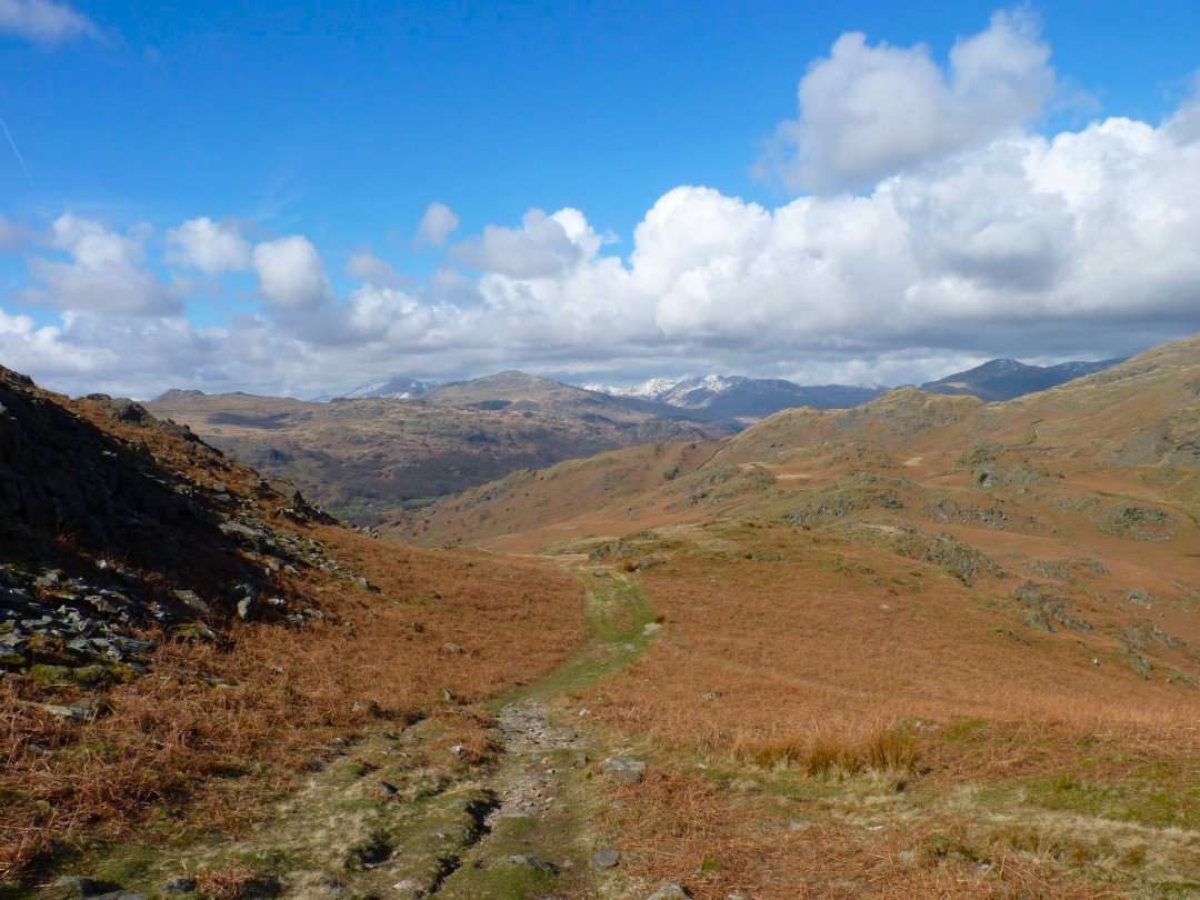
After reaching Kiln Bank Cross I started up the grassy path to Stickle Pike. The high fells are clearing now.
.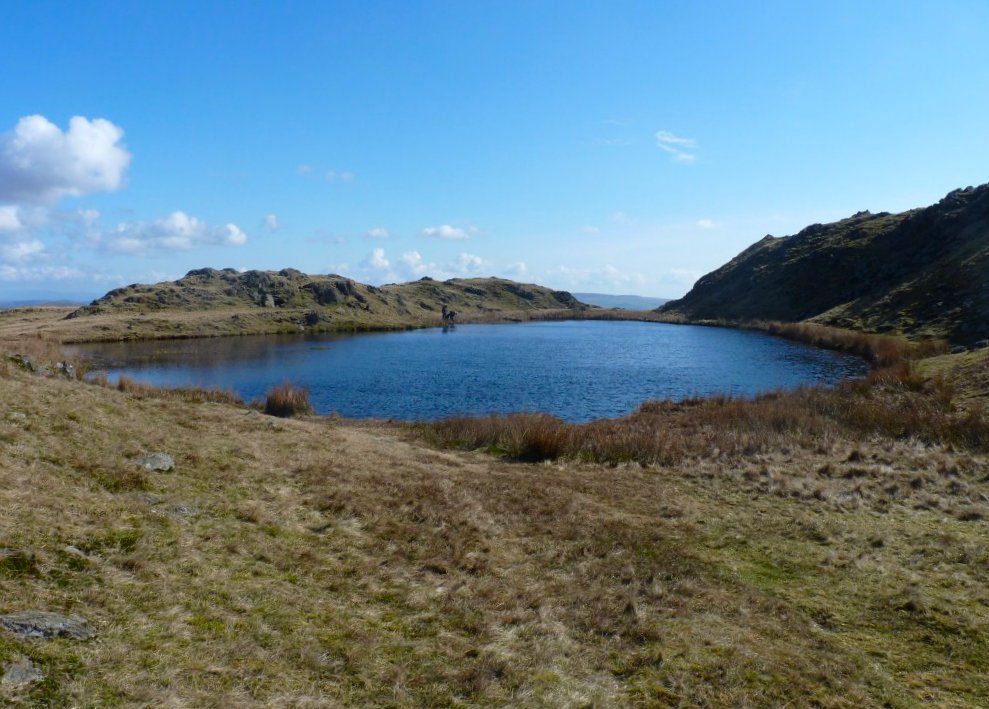
The lovely Stickle Tarn
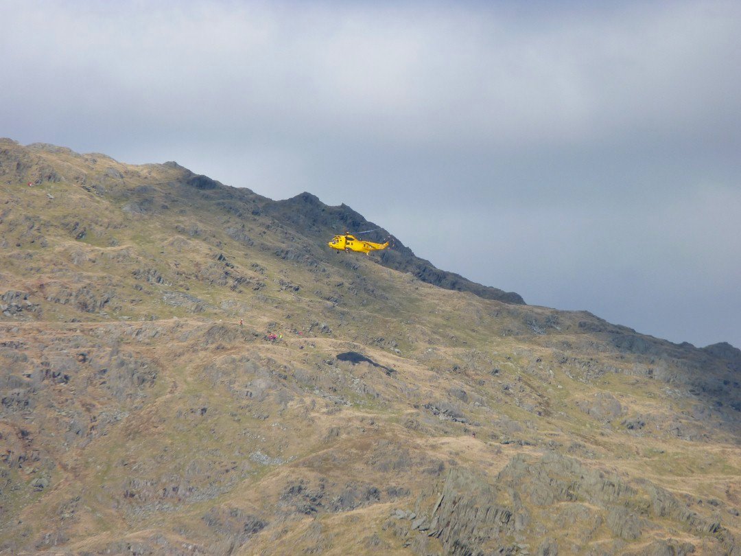
I spent a few minutes watching this Rescue helicopter attending an incident on Caw. I have since learnt that an American visitor had broken her leg.
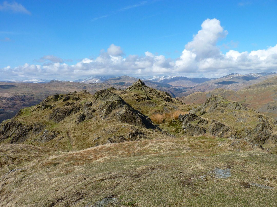
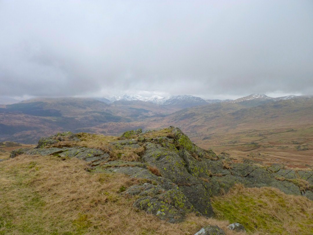
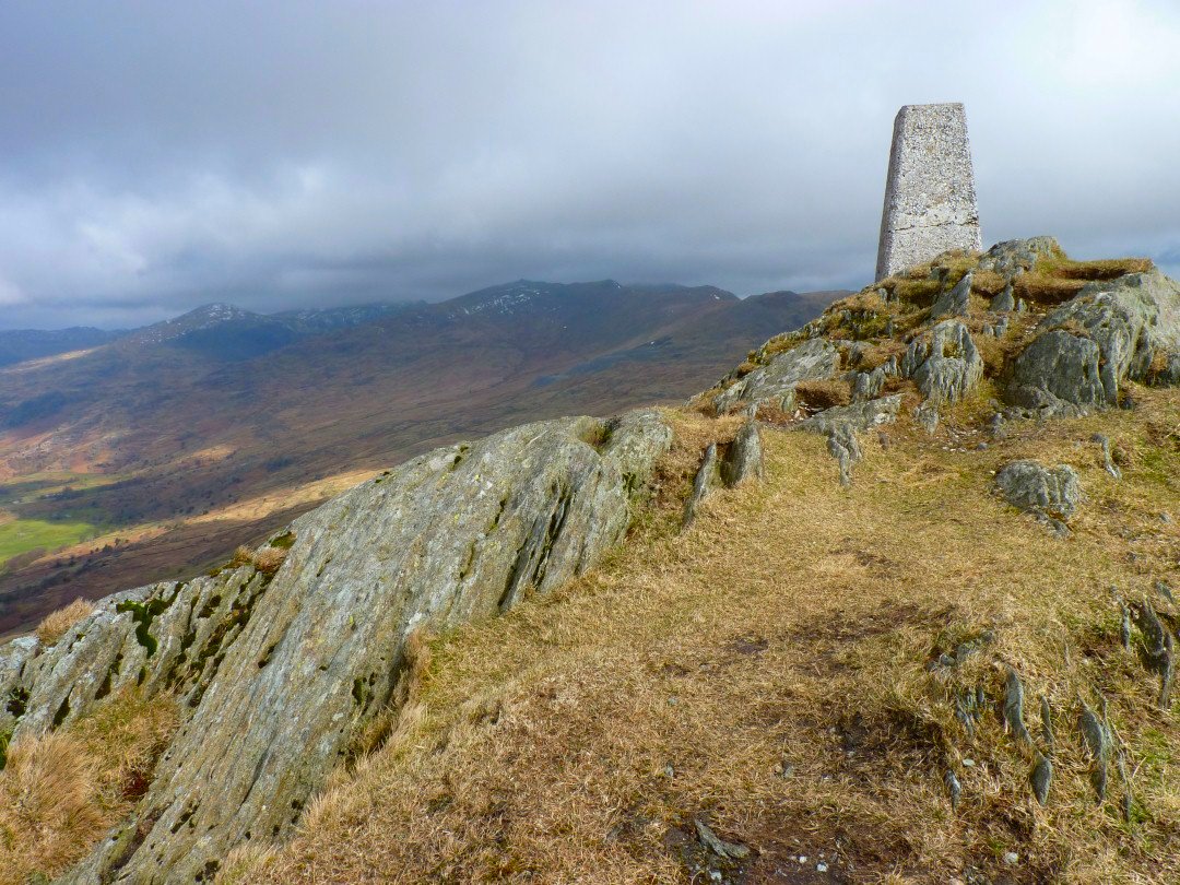
The view to the north from the southern cairn on Stickle Pike.
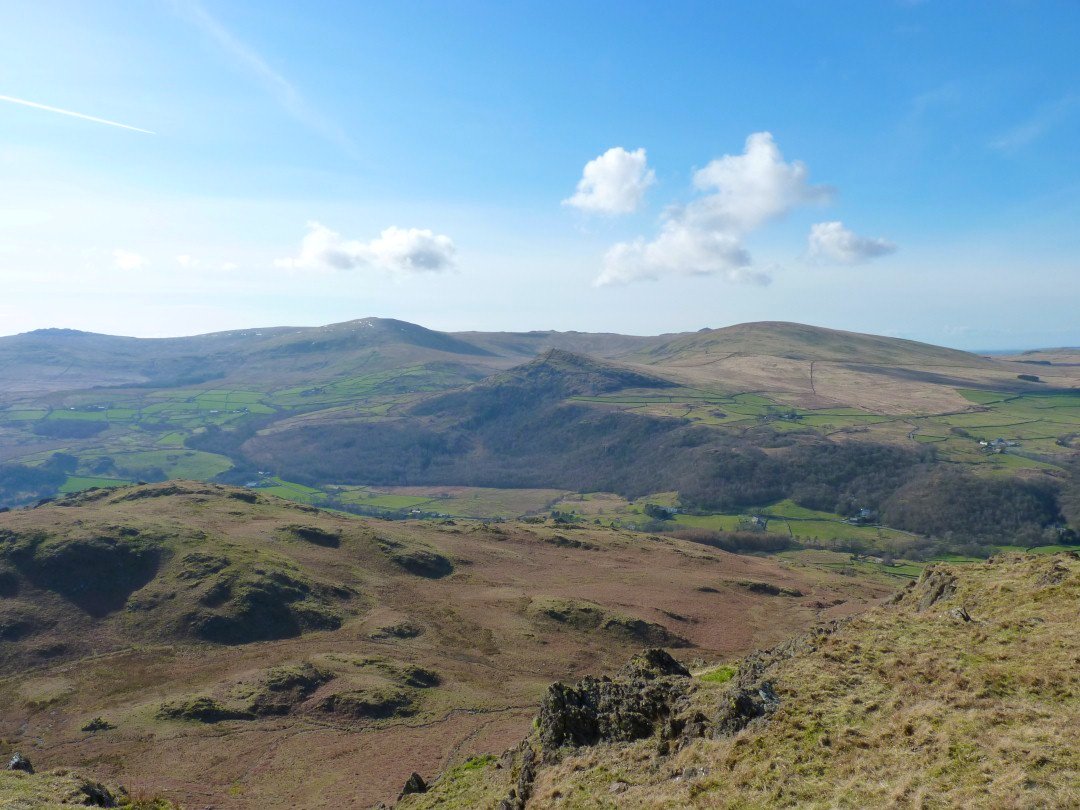
The Duddon valley down below with the pointy Pike above with Hesk Fell to the right and Bigert and Whitfell above to the left.
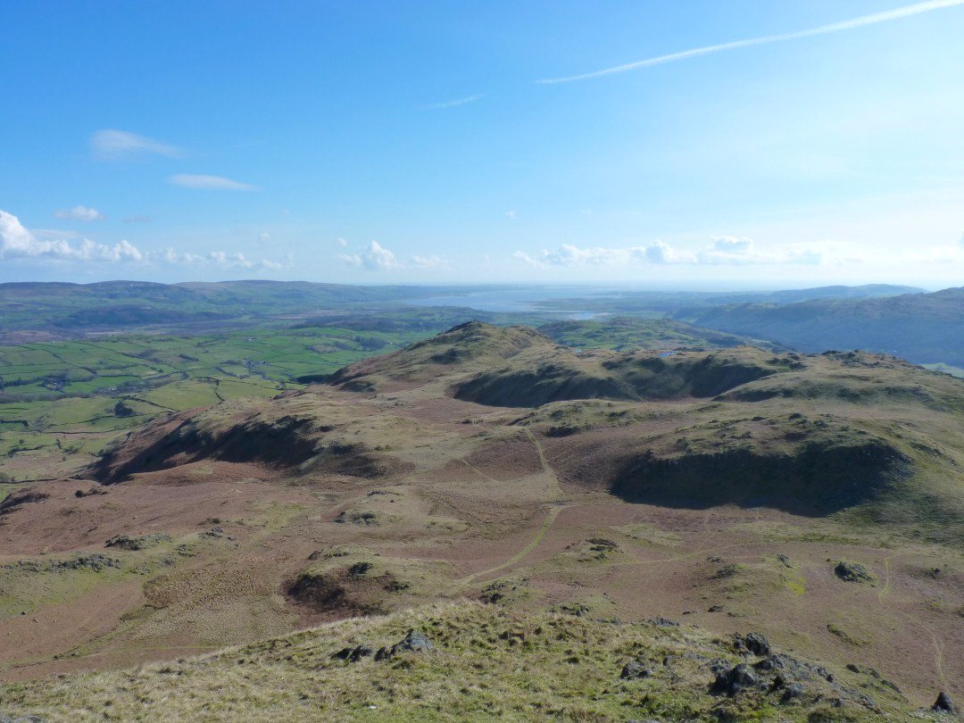
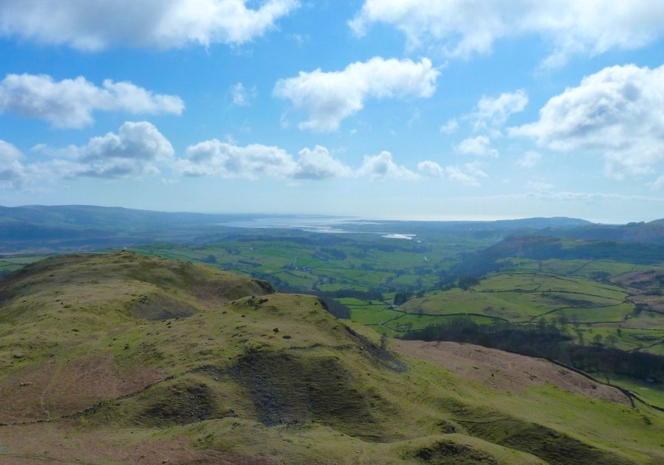
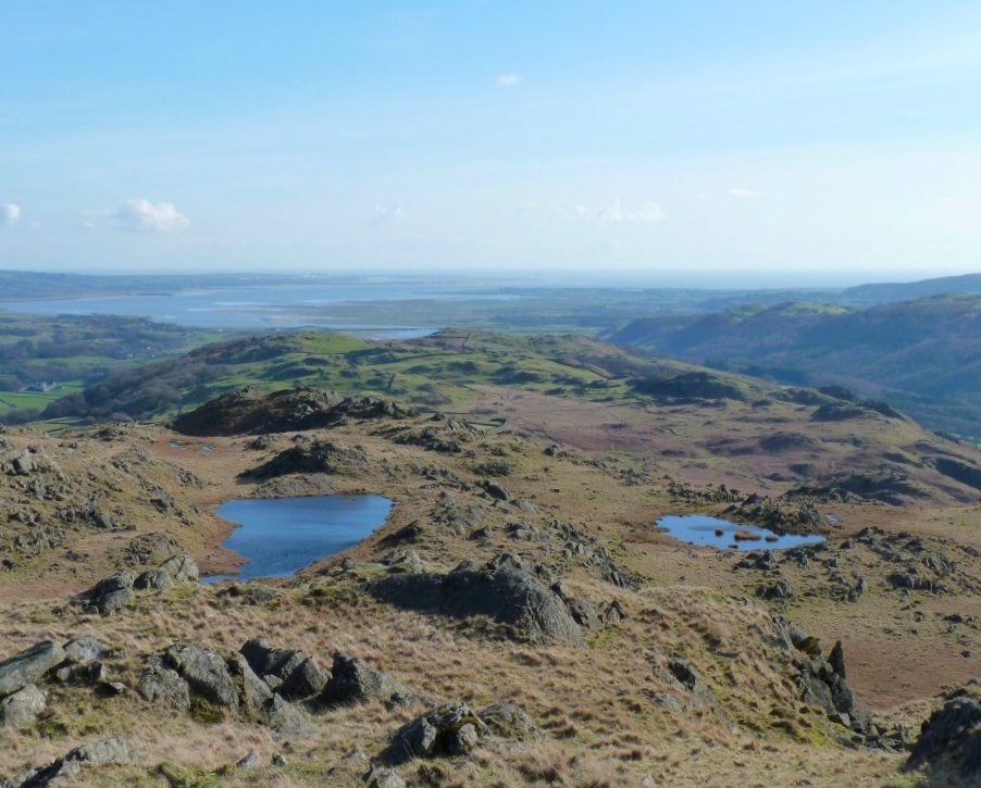
The Duddon estuary seen over Tarn Hill and Great Stickle.
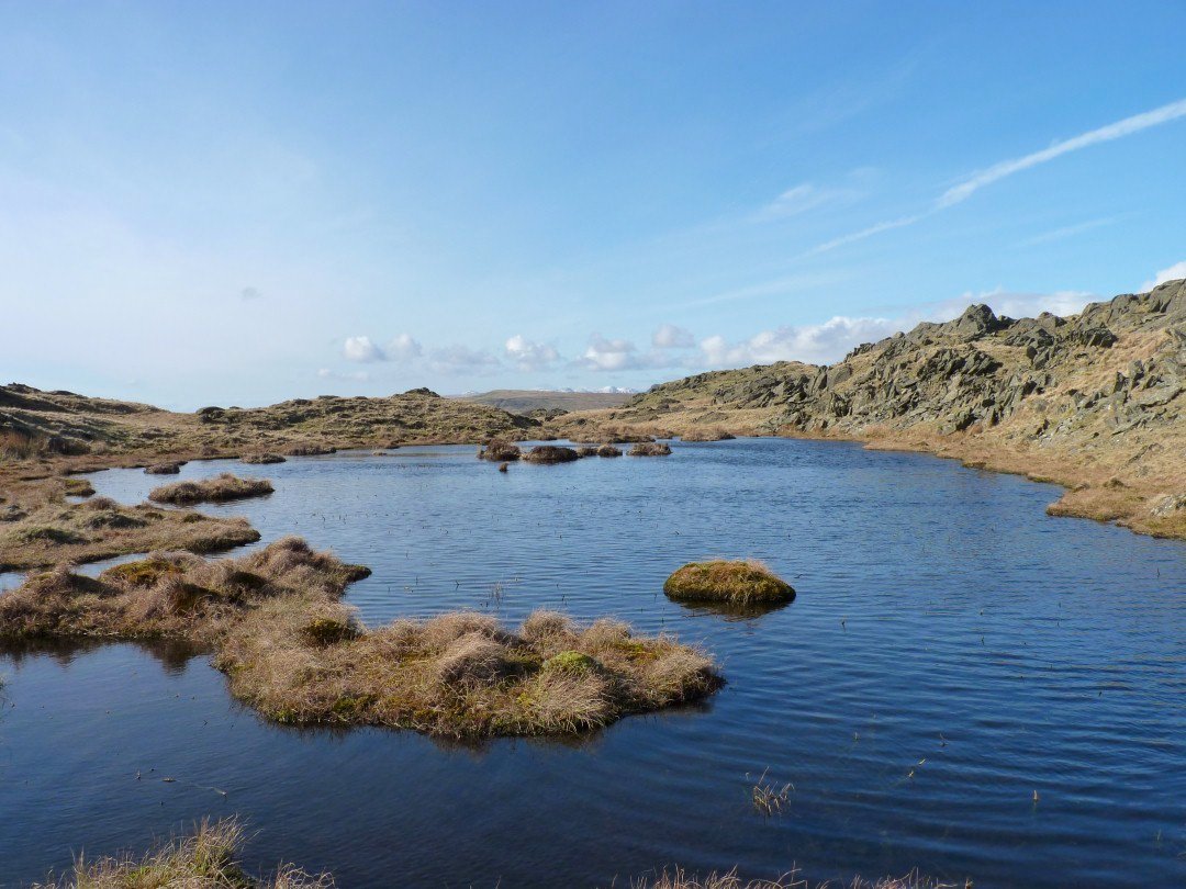
One of the many charming little tarns on Tarn Hill.
And two more. I think there around seven separate tarns after wet weather.
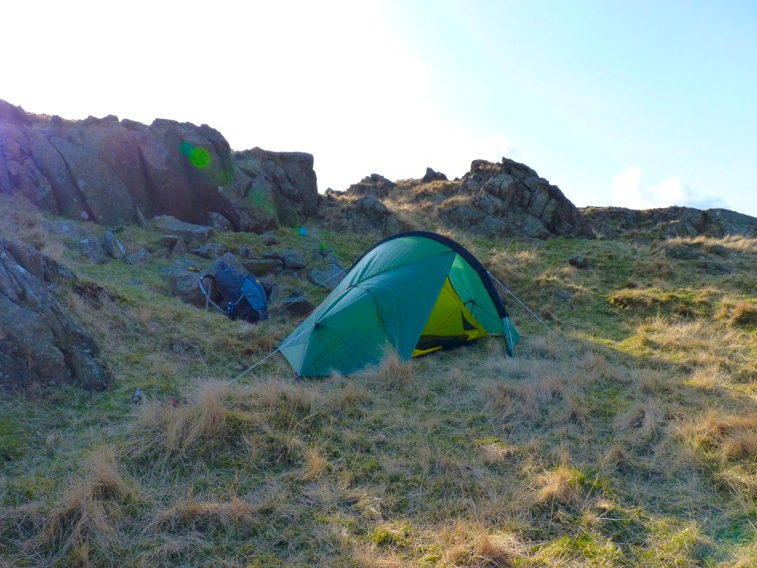
I found a really nice sheltered spot which I needed because the breeze was quite chilly.
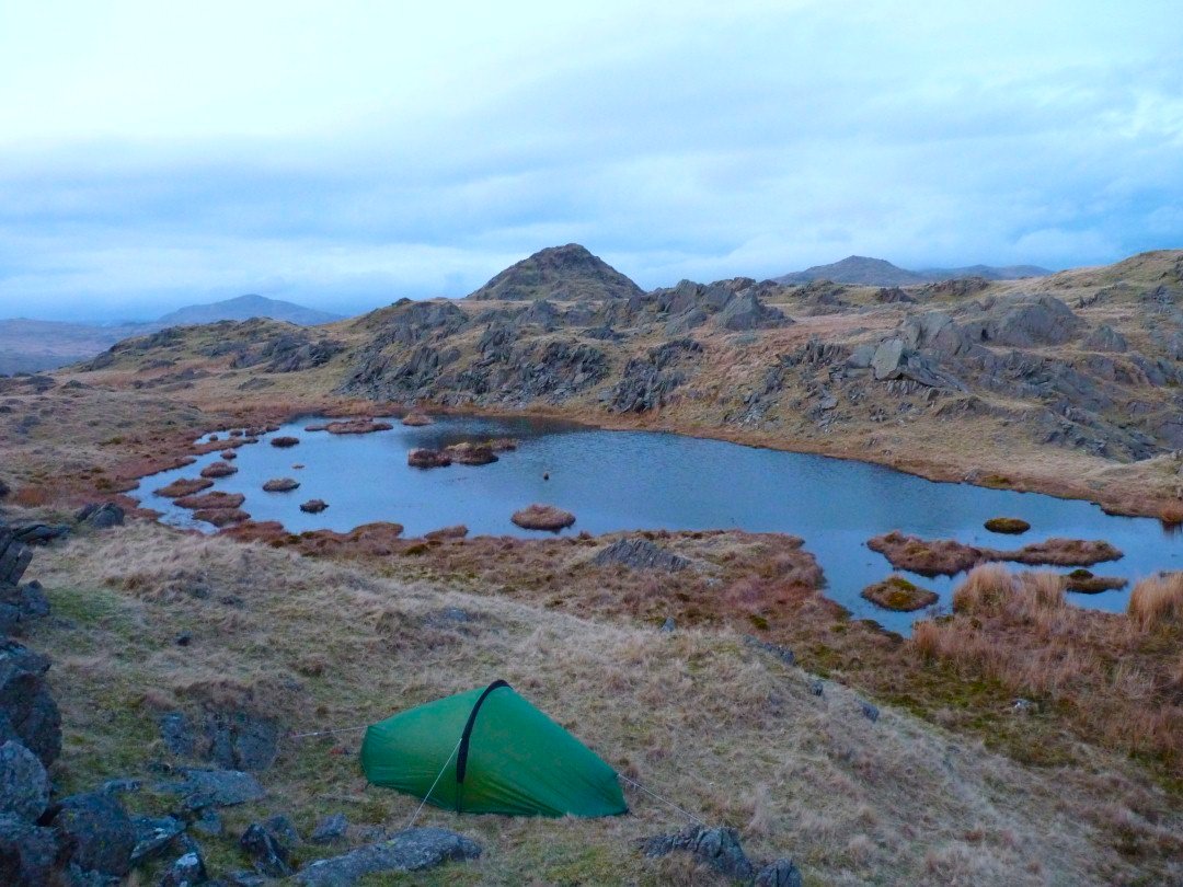
Later in the evening the cloud has returned. There might have been a nice sunset but I was so warm in the tent I fell asleep and missed it I was woken at about four am by the rain absolutely lashing down and it was still at it in the morning so I got very wet when I was packing up. Even these modest fells were clagged in so I followed the GPS on to Great Stickle and made my way down to the road at Broughton Mills from where I had intended to walk over the hill to Blawith and follow the Cumbria Way back to Torver, but instead I followed the road over Bracelet Moor and squelched my way back to the car.