WWW.KARLSWALKS.CO.UK
PICTURES AND TRIP REPORTS FROM MY WALKS IN THE ENGLISH LAKE DISTRICT
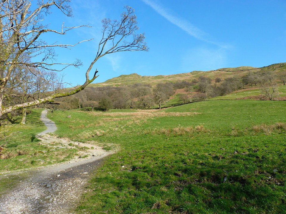
The weekend weather forecast was too good to ignore so I headed up to Ambleside late on Friday afternoon. I made my way through the town and up the road past Stockghyll Force and took the steep path leading to Wansfell Pike.
It's a lovely evening for a walk and although the path is steep it's not too long and the top is always in sight.
The Angletarn Pikes nicely fill the gap between Red Screes on the left and Caudale Moor.
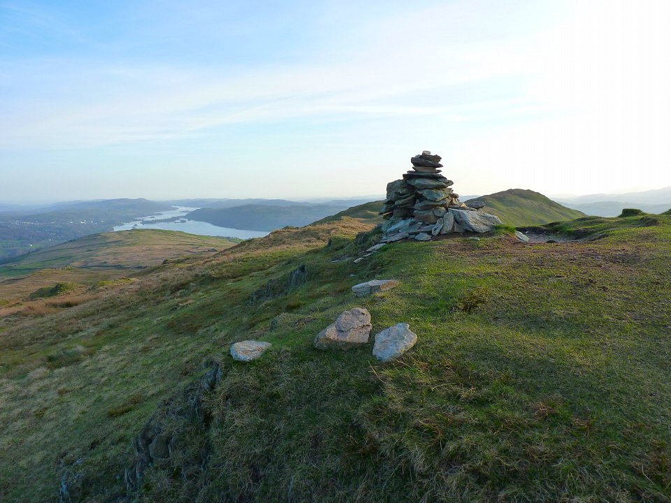
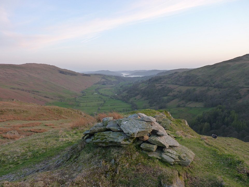
On Baystones now looking back along the ridge to Wansfell Pike with Windermere beyond.
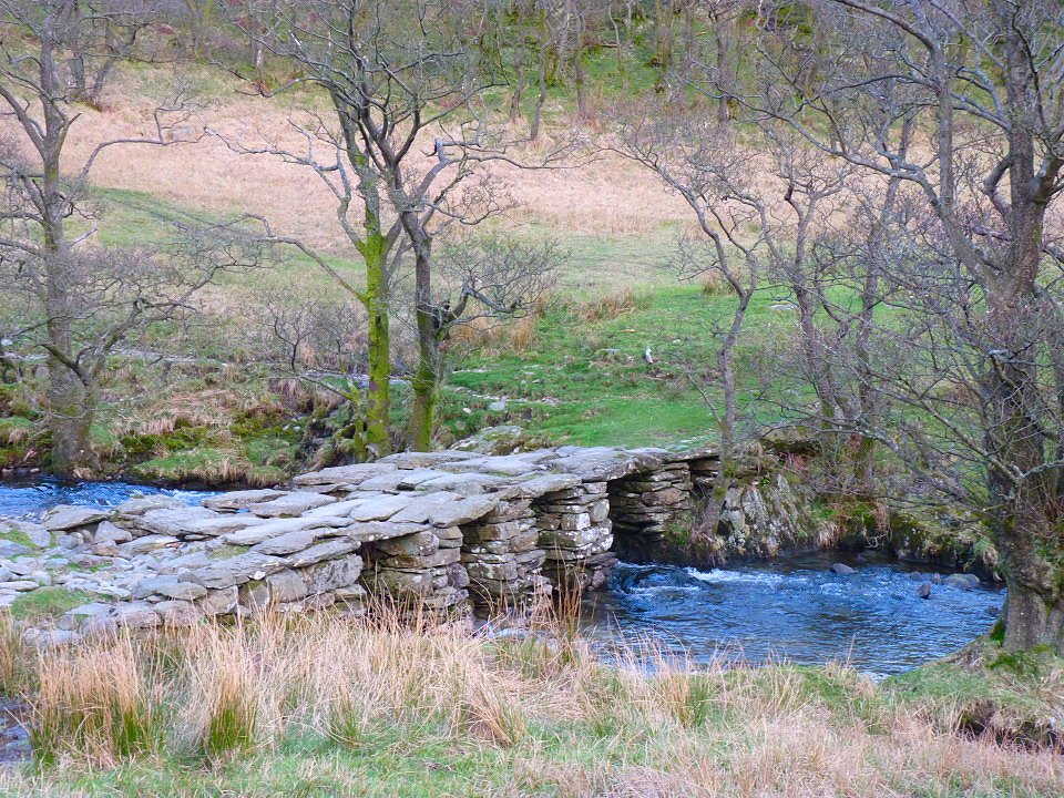
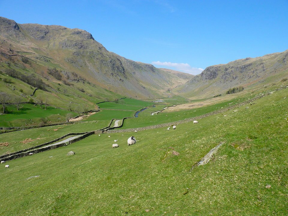
From Baystones I made my way down to the Kirkstone Pass road and the over some very boggy ground to the clapper bridge across Troutbeck.
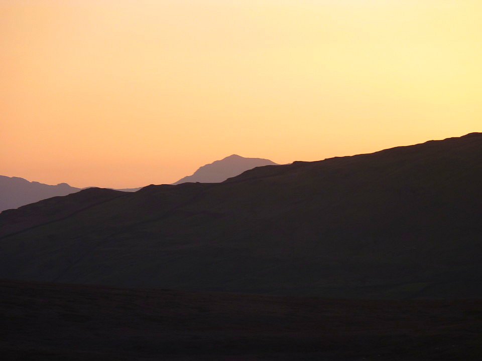
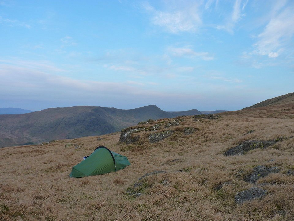
Bowfell silhouetted against the night sky from my pitch on the top of Troutbeck Tongue.
Looking down the valley from the Tongue.
And looking the other way to the Ill Bell ridge and Thornwaite Crag.
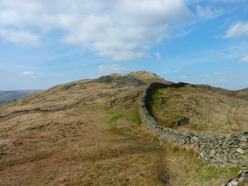
The Tongue from the start of the path up Park Fell Rake.
On Froswick now looking over to the beacon on Thornwaite Crag.
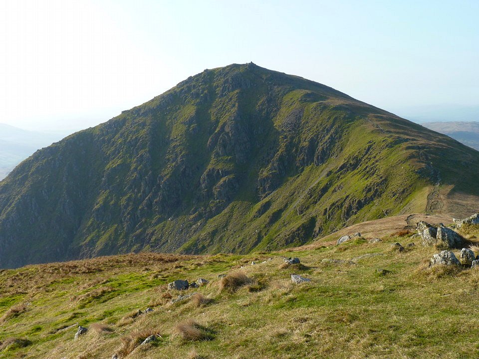
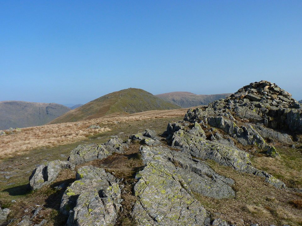
Next stop Ill Bell. This is the first time I have ever had a view on this ridge.
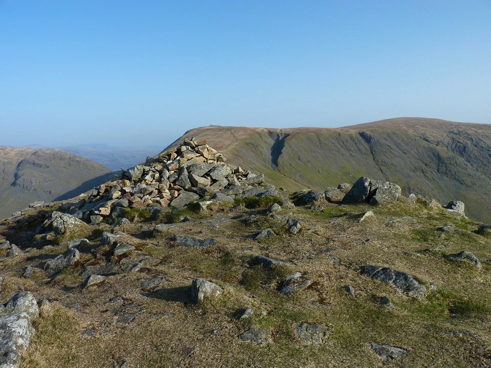
The three cairns on Ill Bell.
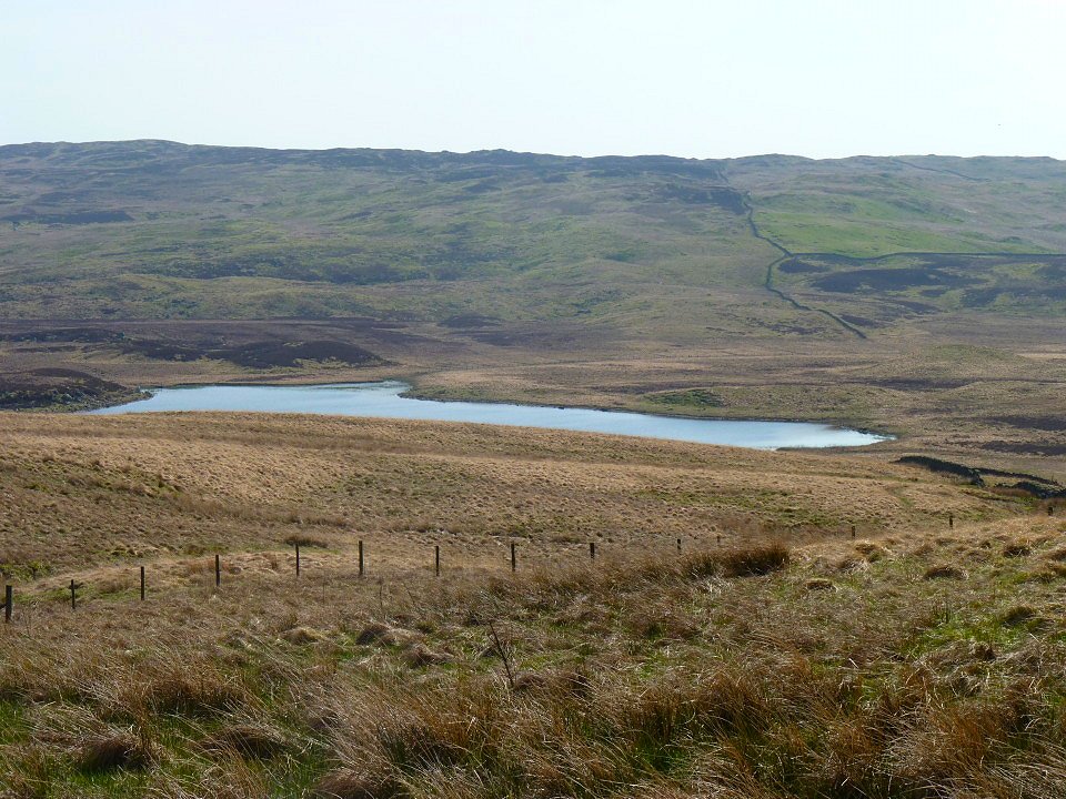
Kentmere reservoir from the drop down to Yoke.
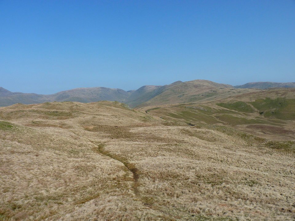
On Yoke now. It might be that I had a view so had something to look at but walking along the ridge this way (North to South) seemed a lot easier than when I have walked it the other way.
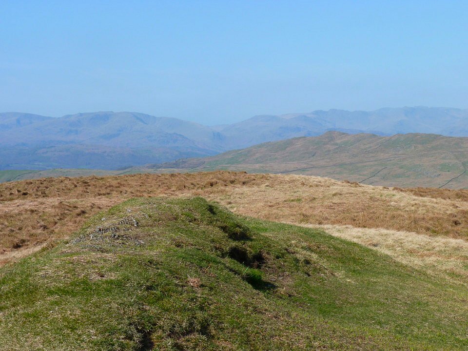
After I reached the Garburn road I. decided that as it was such a nice day and I was in no hurry I would visit Sallows and Sour Howes on my way to Kentmere. This is looking through the haze from not very exciting top of Sallows.
And looking the same way from Sour Howes. From here I walked over the little Birkett of Capple Howe and then followed the wall and the beck down to the Bridleway that joins Ings to Kentmere.
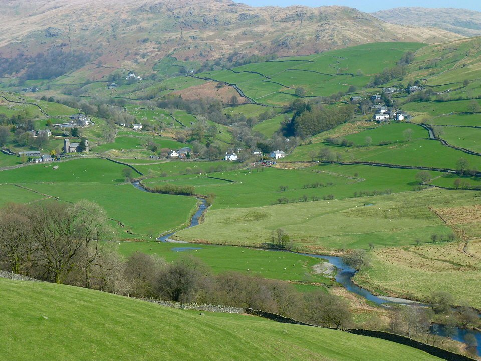
Lovely Kentmere from the Bridleway.
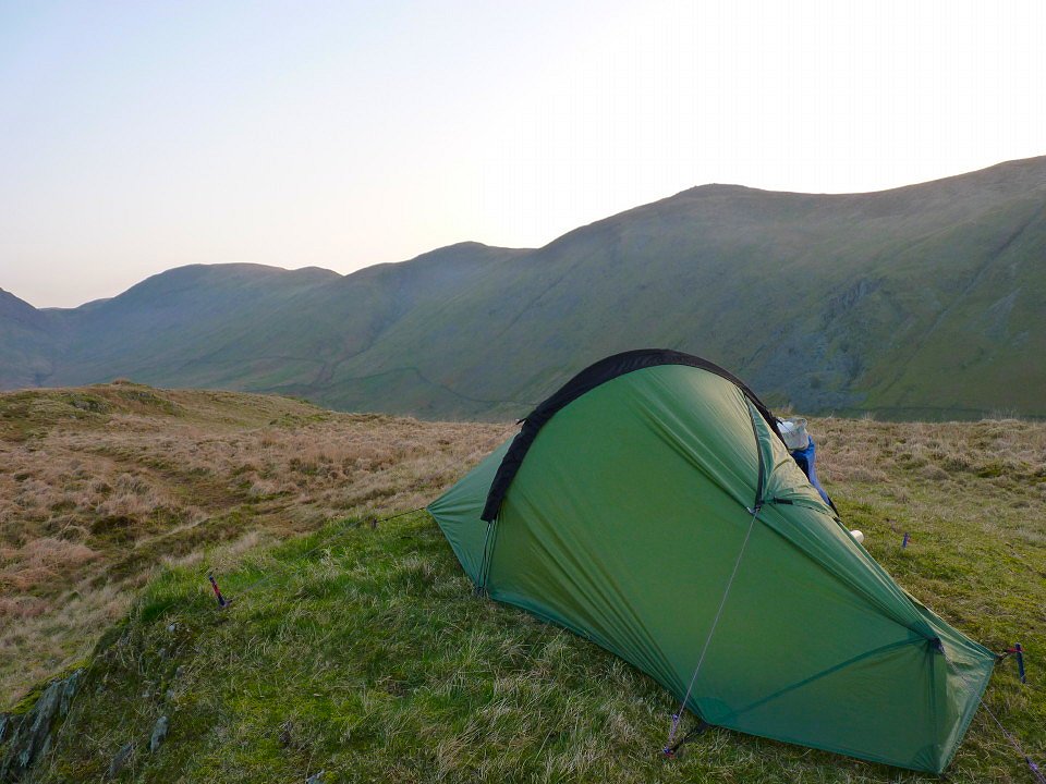
Once out of Kentmere I climbed my last fell of the day, Shipman Knotts. It was still fairly early but the weather was so nice I decided to call it a day and pitched my tent between Goat Scar and Kentmere Pike.
Sunday was another lovely day. I had a train to catch in Staveley so I didn't hang around and set of up the easy slopes of Kentmere Pike.
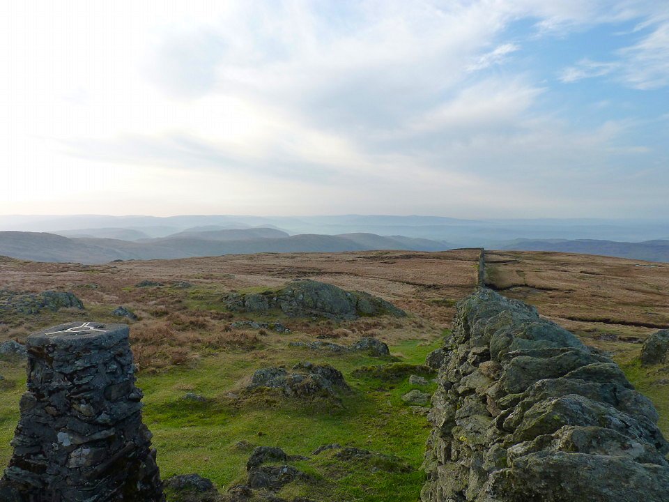
Early morning mist from Kentmere PIke.
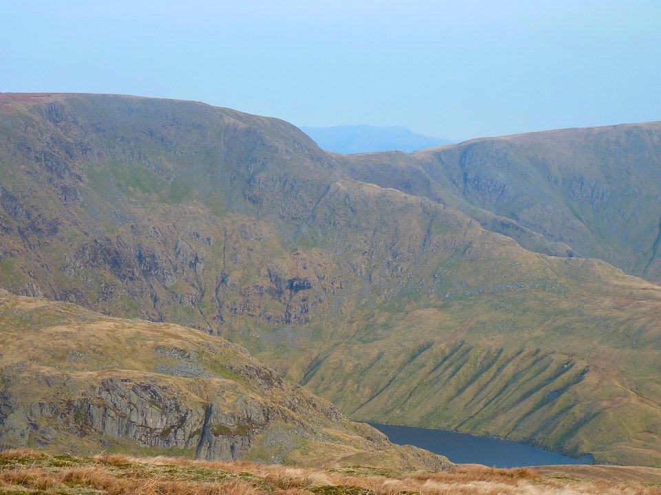
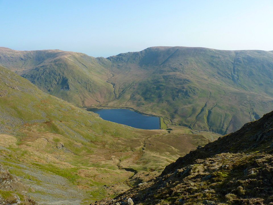
Blea Water and the Rough Crag ridge above.
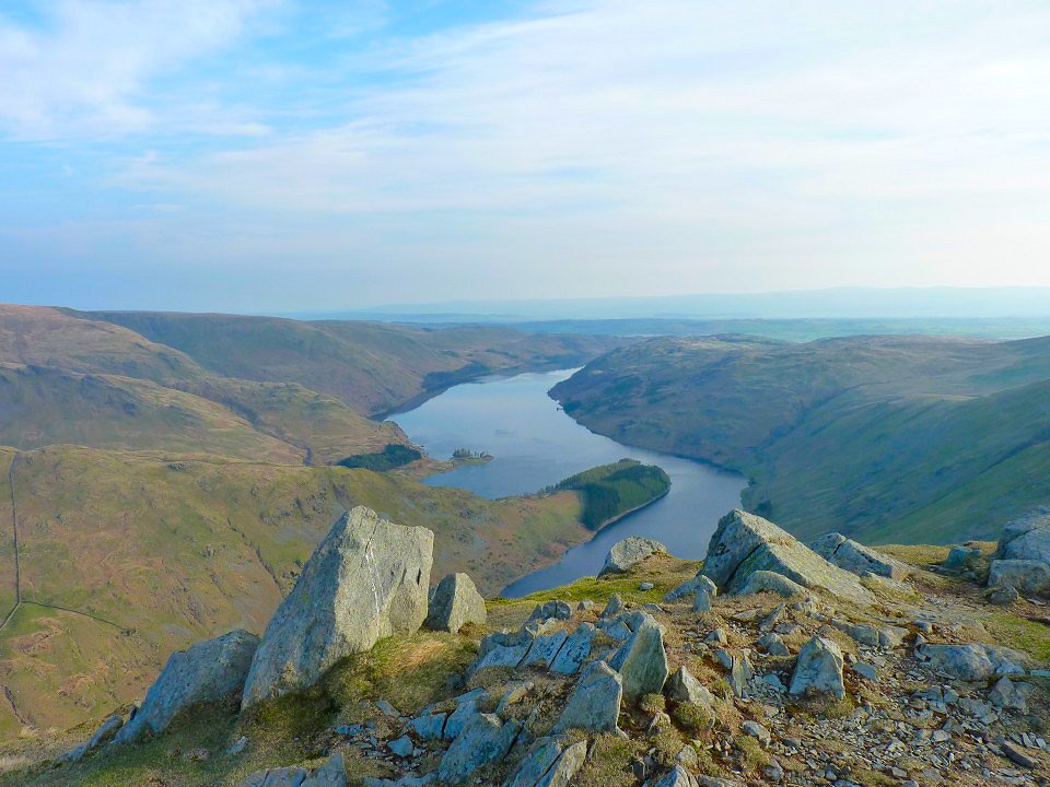
Haweswater from Harter Fell.
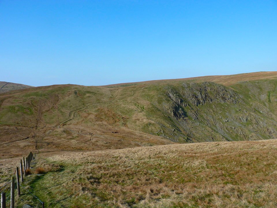
Looking back down the steep pull up to Branstree.
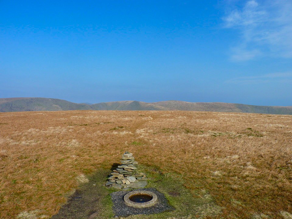
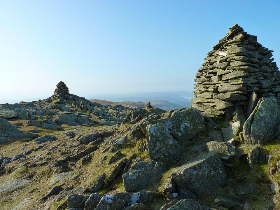
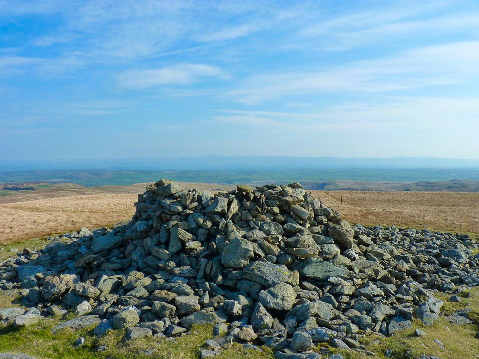
The "dog drinking bowl" flat trig point and little cairn on Branstree.
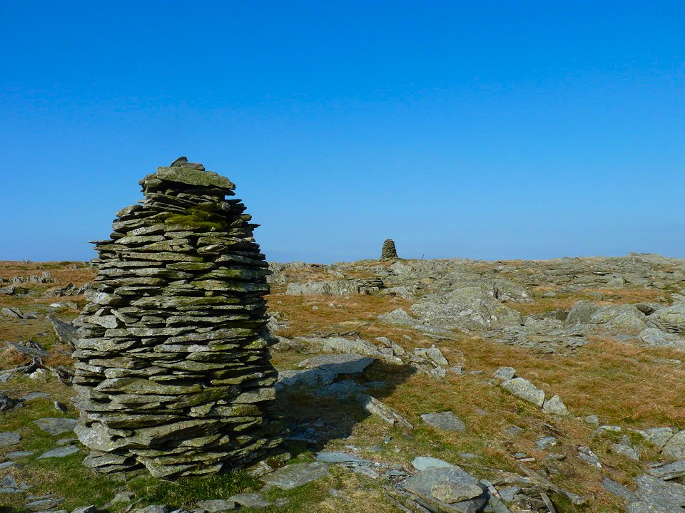
A little way down from Branstree summit are the two impressive cairns of Artlecrag Pike.
Just a short walk to Selside and it's substantial wind shelter
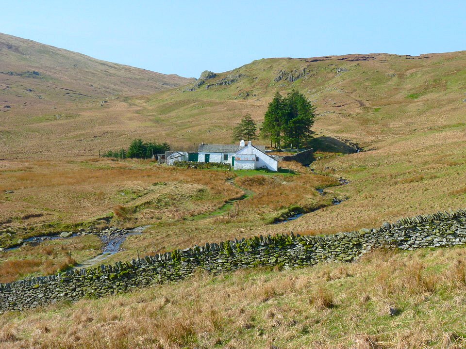
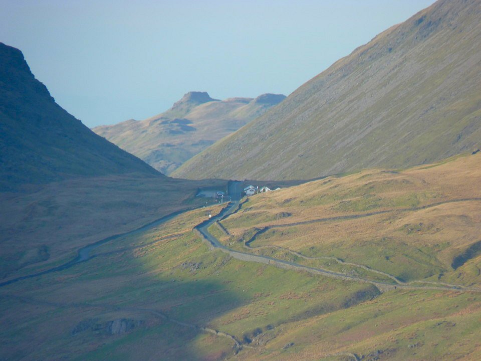
From Selside I headed across country and dropped down into Mosedale and visited Mosedale cottage bothy (no one was at home).
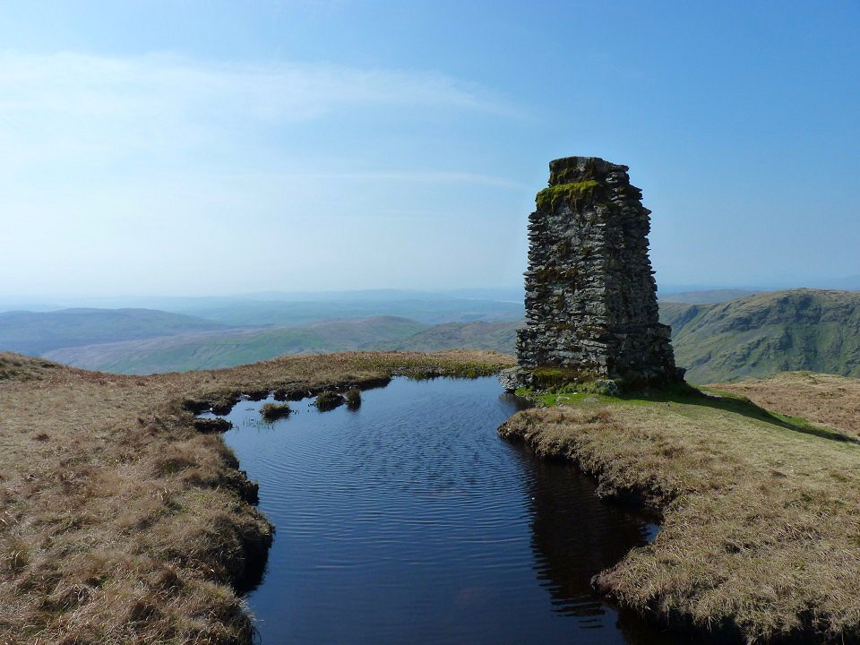
After another steep climb I reached Tarn Crag. This one of a few surveying towers dotted about locally. They were used in the building of the Haweswater aquaduct.
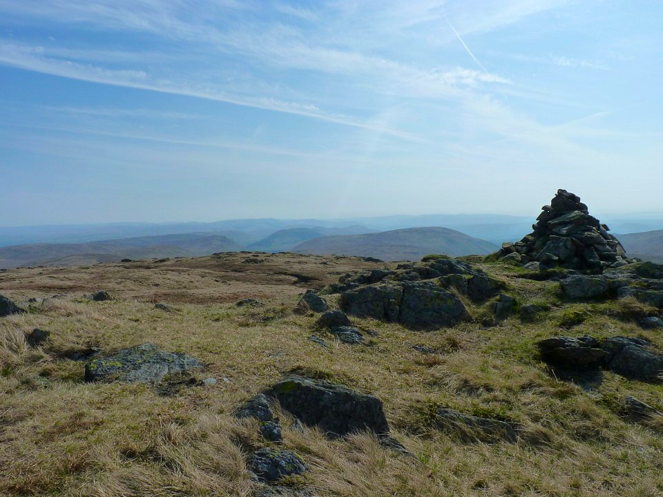
My last Wainwright fell of the day Grey Crag. It was mostly down hill from now on.
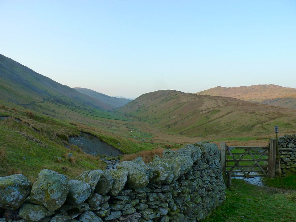
Looking up the lovely Longsleddle valley. After I reached Sadgill I had a bit of a rest by the river before I set of up the track to Staveley.
Skeggles Water from Cocklaw Fell.
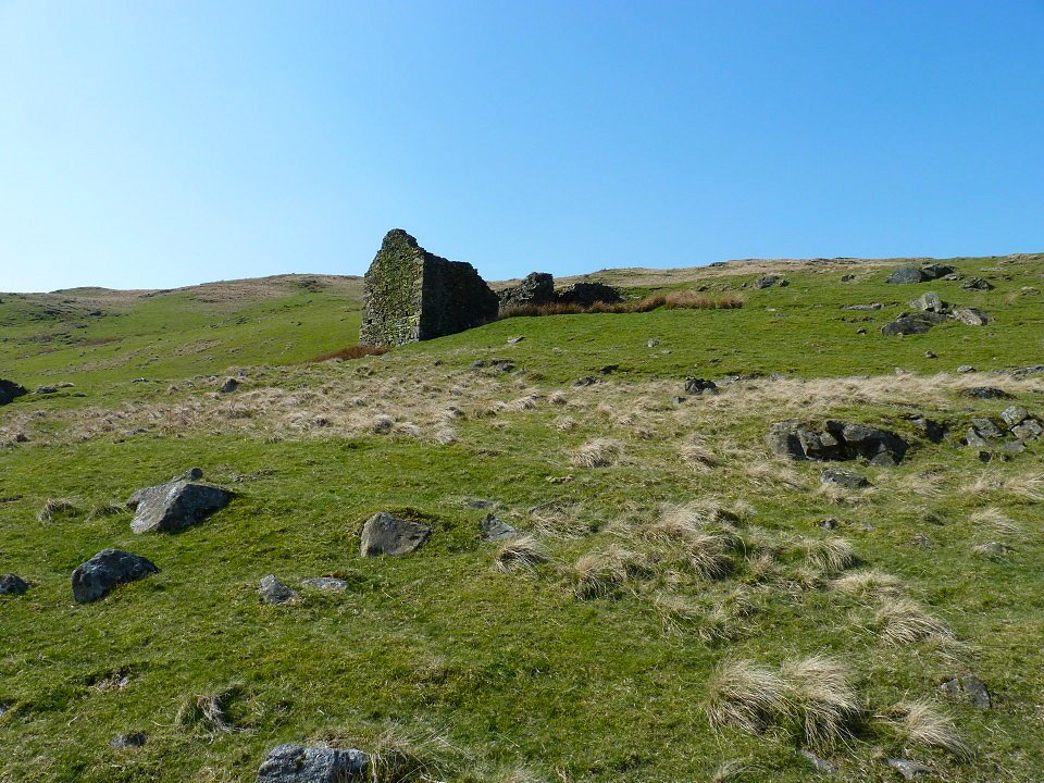
Ruined building by the path. It was nice and easy walking along the path in this weather but I should imagine it's a pretty grim place to be when the mist is down and the wind is howling.
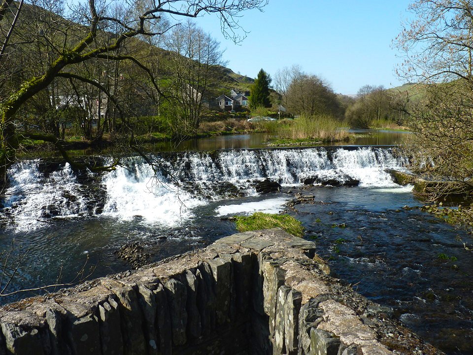
Waterfalls in Staveley. I had plenty of time before the train arrived so I nipped round to Wilf's cafe for some proper food.
Last walk - A local walk to Ribchester Next walk - 2 days on the Cumbria Way