
WWW.KARLSWALKS.CO.UK
PICTURES AND TRIP REPORTS FROM MY WALKS IN THE ENGLISH LAKE DISTRICT
|
|
|
|
|
A few months ago Sue told me she was booking a weeks holiday in Scotland. She was staying on the Scottish island of Iona but was going by the way of Fort William with the intention of climbing Ben Nevis. April and Beefy were invited as well as we had talked about doing the Ben last year but never got around to it.
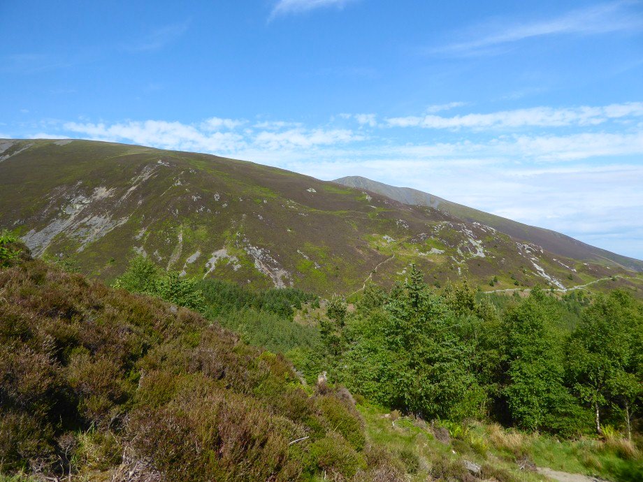
We were breaking the journey at Carlisle so on the way up we had a walk up Skiddaw Dodd. The weather as you can see was superb. This is looking to the north western fells from the climb...
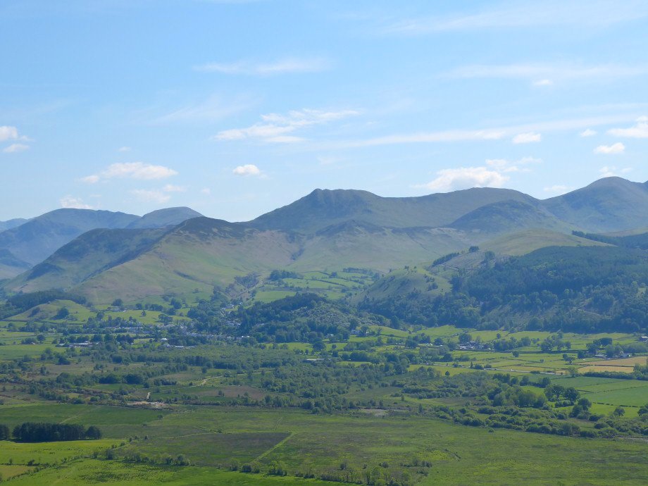
The familiar knobbles make Causey Pike on of the easier fells to identify.
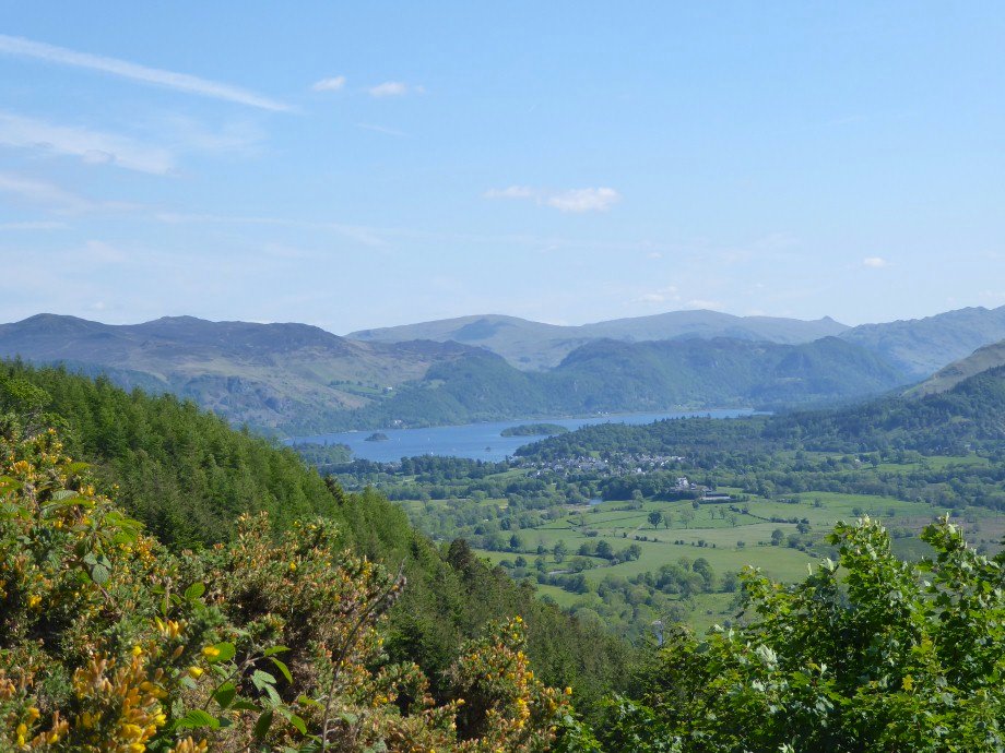
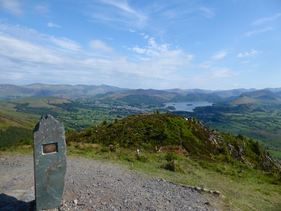
Derwentwater with the central ridge behind.
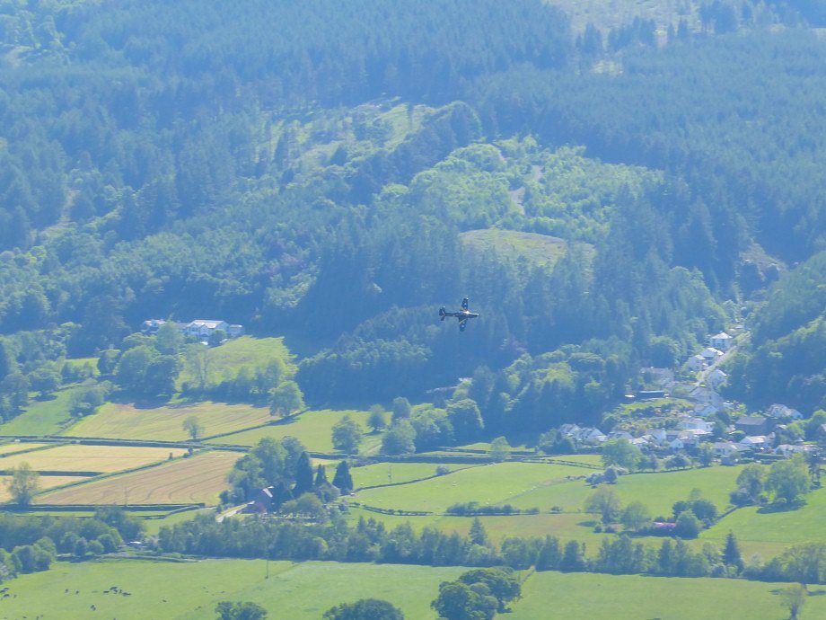
We stopped at the Osprey viewpoint and although we didn't see an Osprey we saw this plane.
Wider view to the south with Helvellyn visible in the distance.
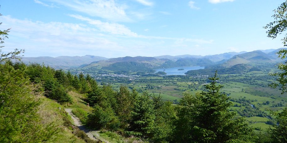
The path to White Stones and Carlside with Skiddaw Little Man behind
Dodd Summit.
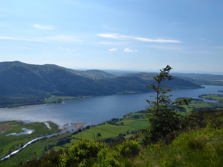
Bass Lake with the Wythop fells above.
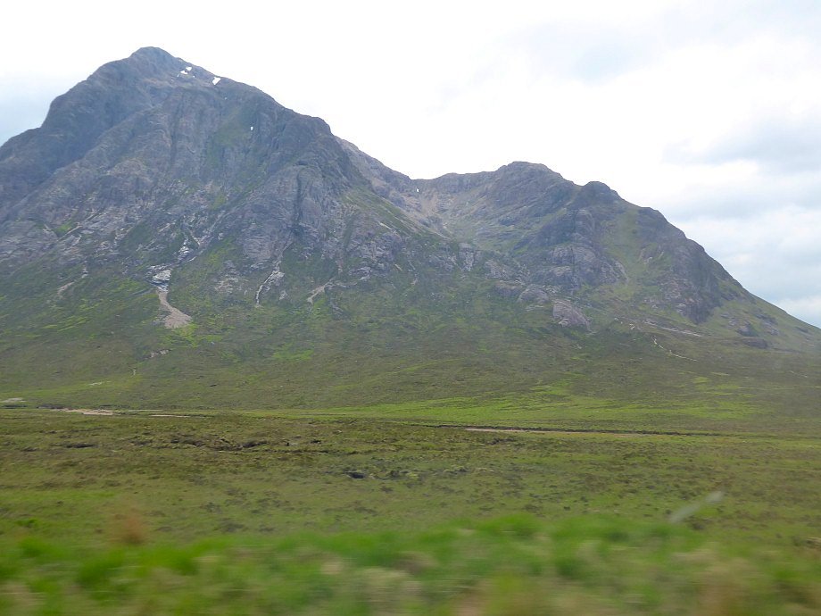
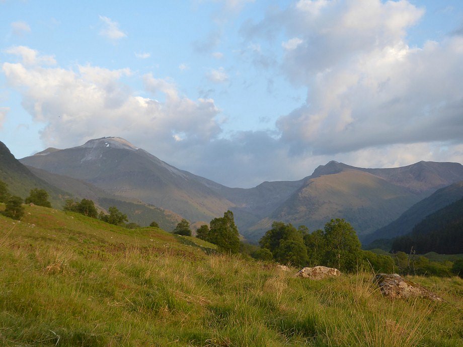
After ovenighting in Carlisle we collected April and Beefy and headed north. I have been to Fort William as a driver on a national three peaks challenge so I knew that the journey is quite spectacular especially the road over Rannoch Moor and past what I think is Buachille Etive Mor
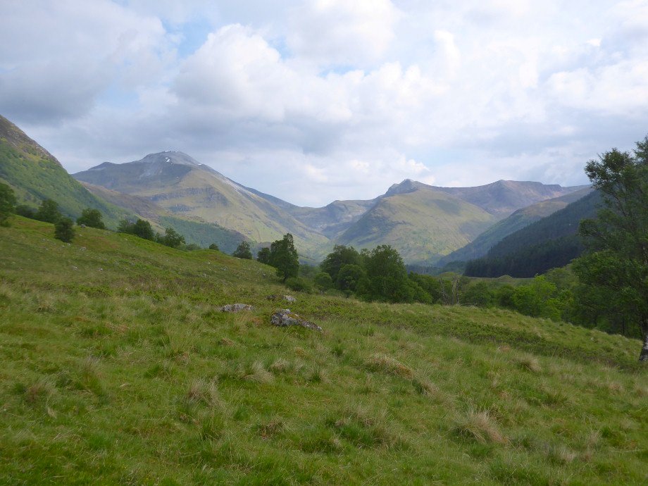
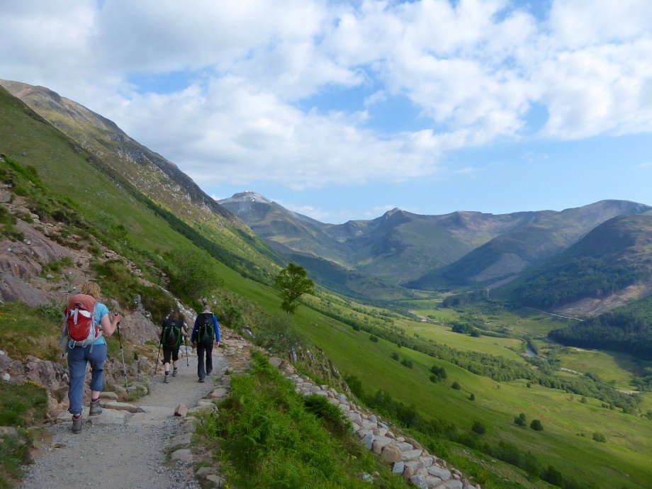
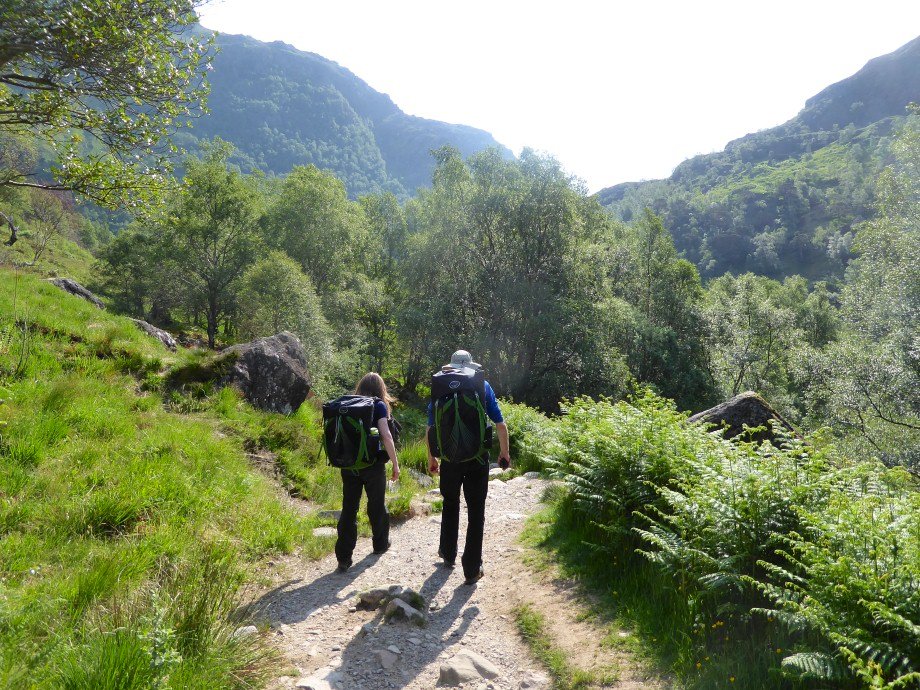
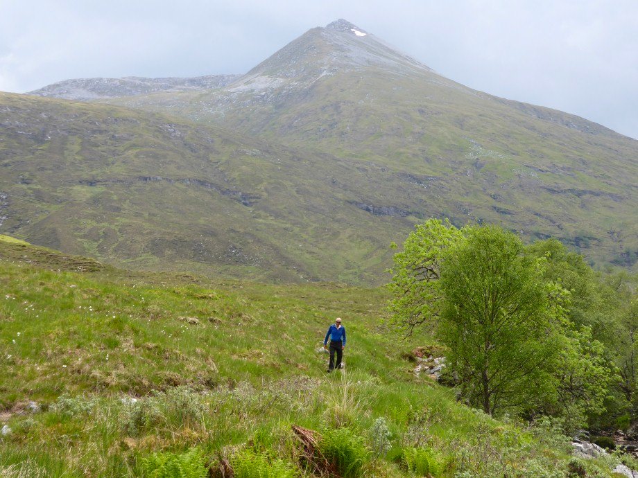
On arriving at Fort William we drove out to the Glen Nevis youth hostel which was to be Sue's base for our stay. April, Beefy and I headed out along the glen to find a camp spot and settled on a pitch about twenty minutes from the hostel with a superb view of the Mamores.
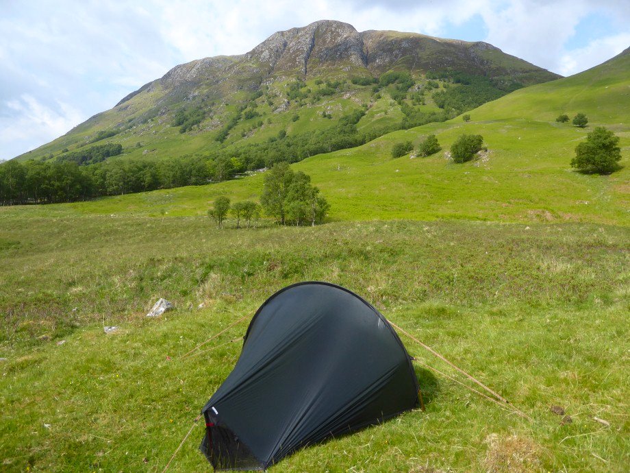
looking past my tent to Meall an t -Suidhe. The path actually runs across the hill above and there was a steady stream of people going up and down untill quite late in the evening.
Evening light on the Mamores.
Setting off up the path from the hostel. The weather was again fabulous although we were worried that it might be too hot on the climb.
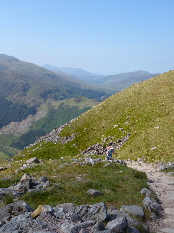
The tourist path is well made and is never really very steep. The view was a little hazy but still spectacular/
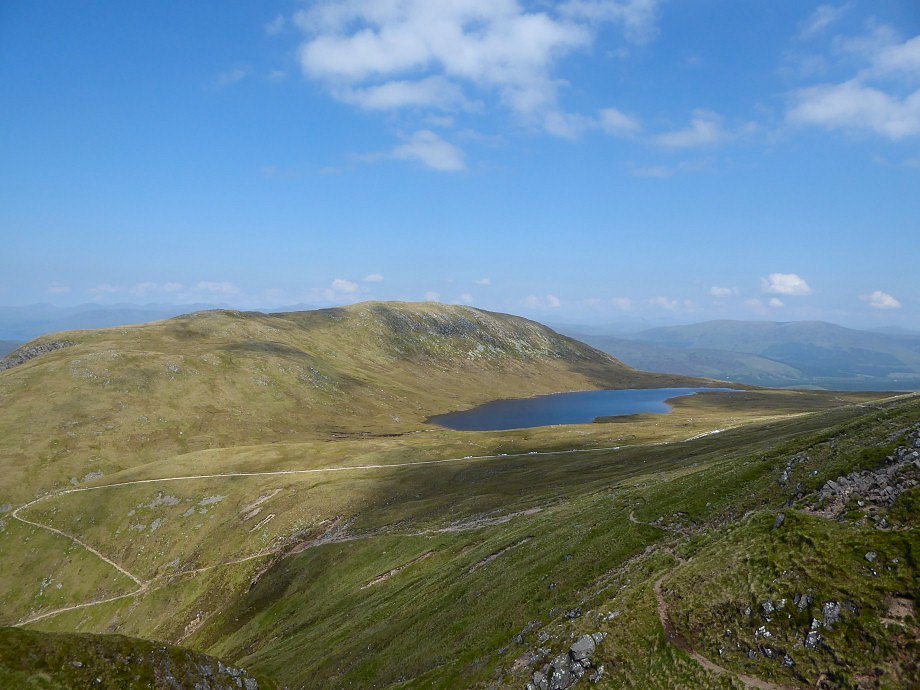
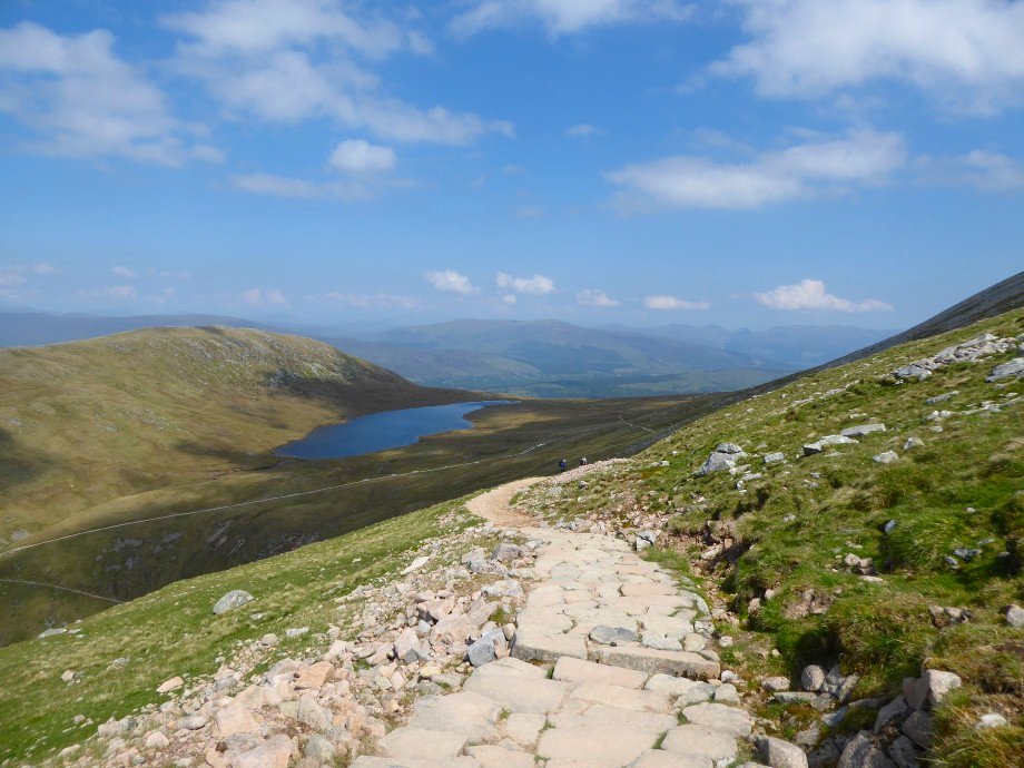
Looking over Lochan Meall an t-Suidhe ( also known as the halfway lochan ) to the hill that gives it it's name
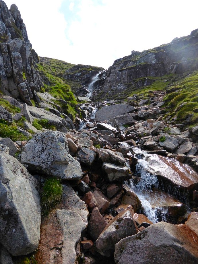
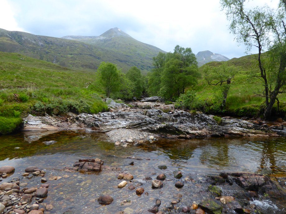
Red Burn. A lovely spot for lunch.
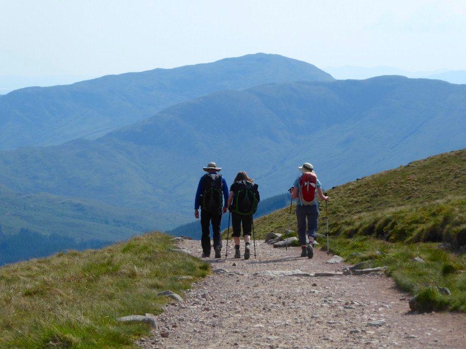
After Red Burn the path up the Ben is a series of huge zig - zags which seem to go on for ever.Luckily we had the views but I should imagine that on a claggy day the climb would be a slog.
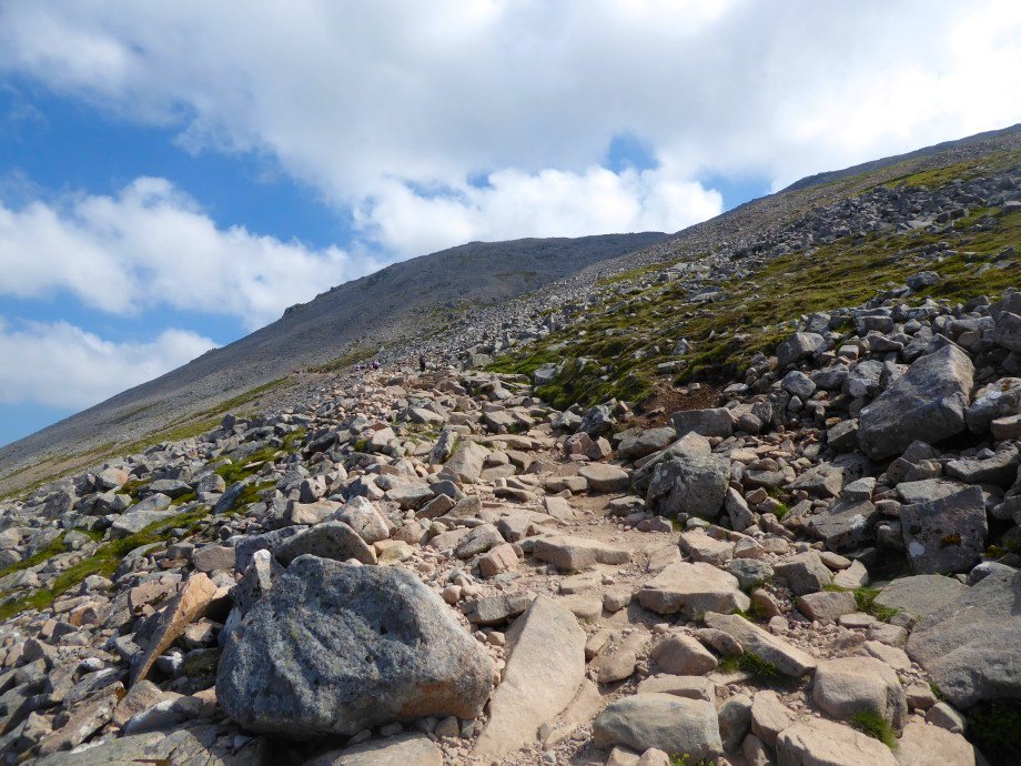
The very dry path. The heat was a real concern now and we didn't break any records for the ascent
The head of Glen Nevis and the Mamores
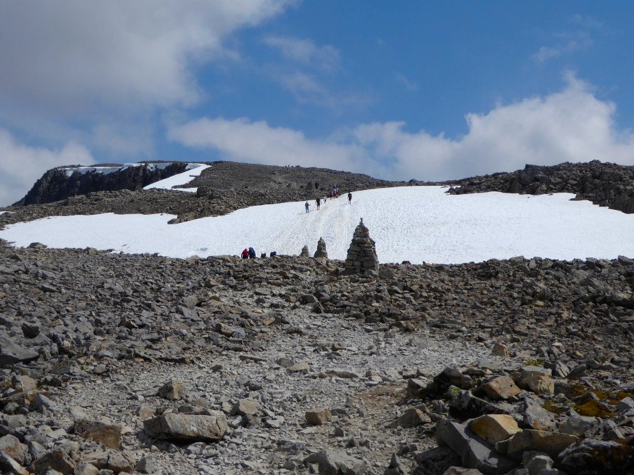
Eventually the zig-zags end and we reach the snow and can see the summit platue.
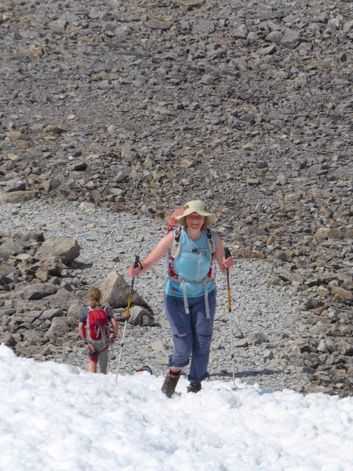
Sue enjoying the feel of the cold snow on hot feet.
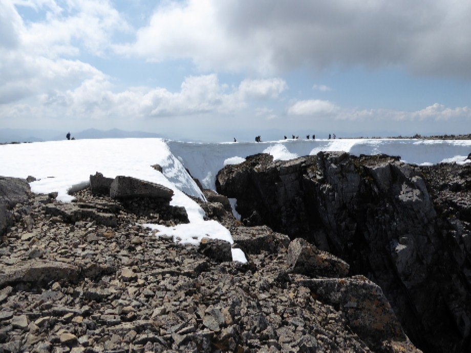
Still huge cornices on the summit.
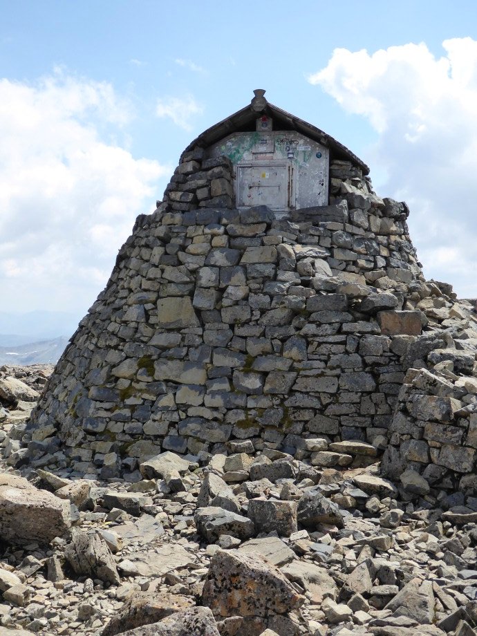
The little storm shelter.
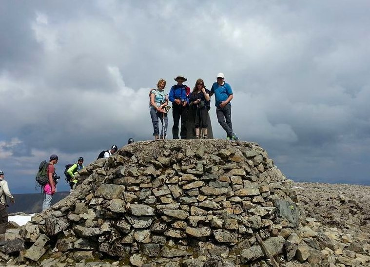
Horay ! the highest people in Britain
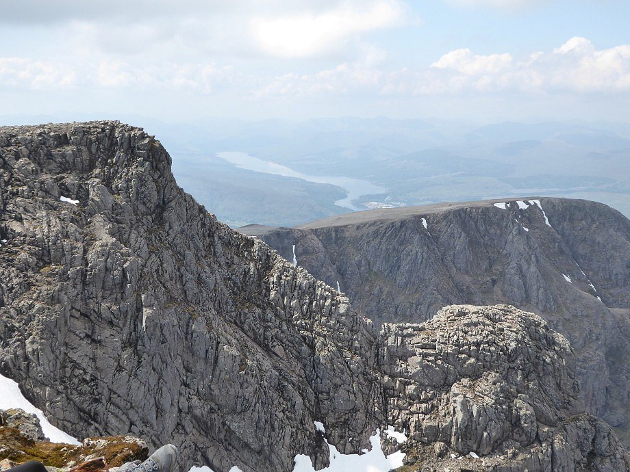
Tower Ridge.Loch Eil in the distance.
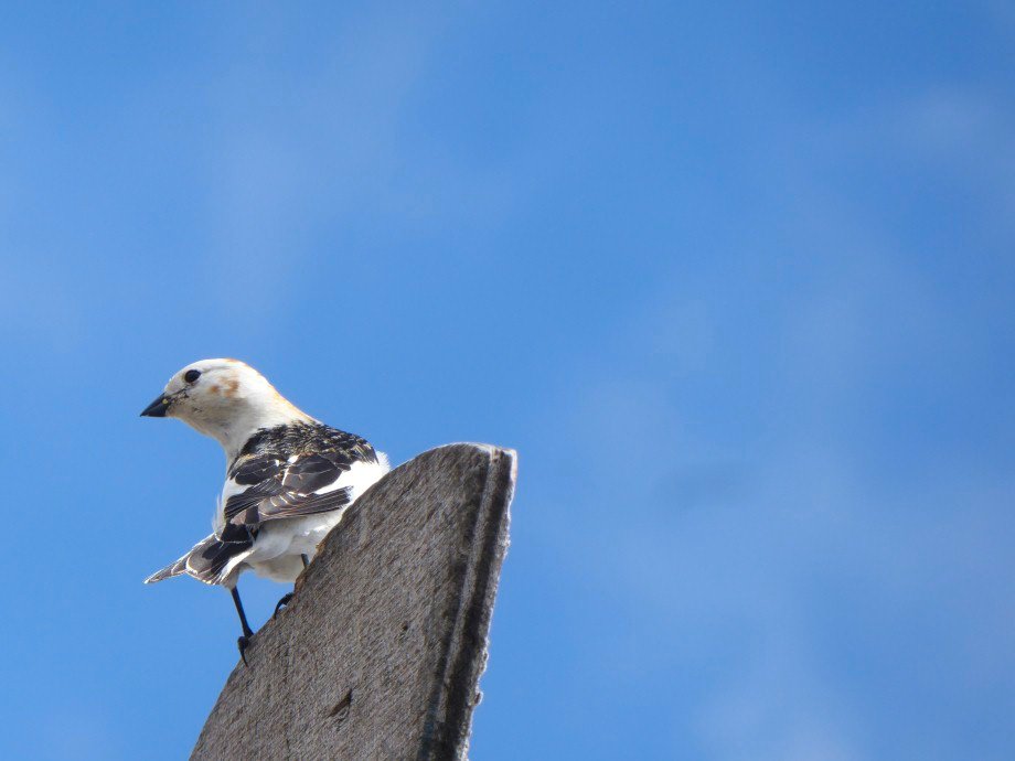
Snow Bunting
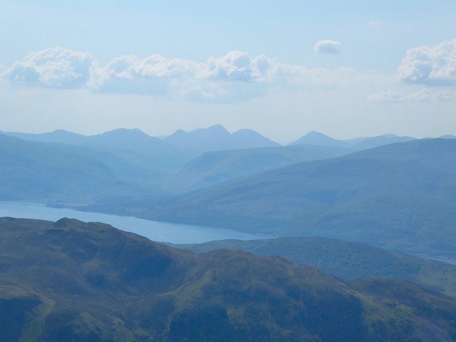
Hazy but still fantastic views.
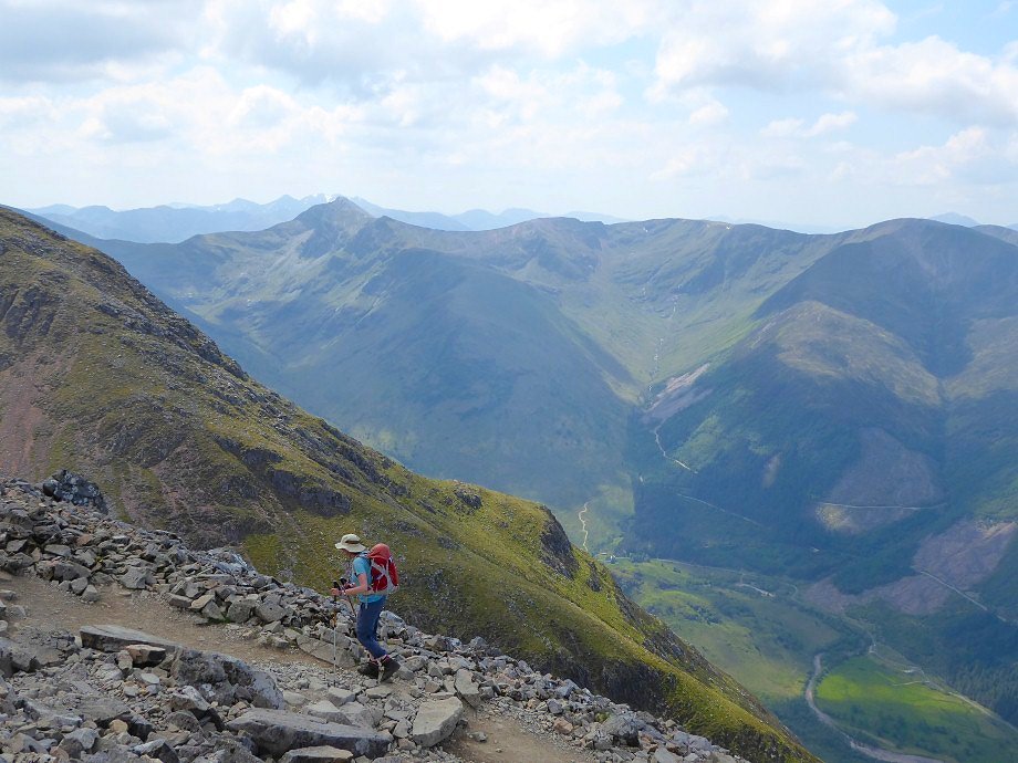
On the way down and if anything the day seemed to be getting warmer.
We were all a affected by the sun and were a little tired and emotional when we eventually reached the valley. We thought the climb up the Ben by the tourist path was not really hard but definitely feels a long way
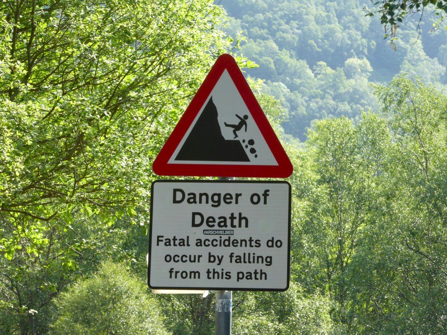
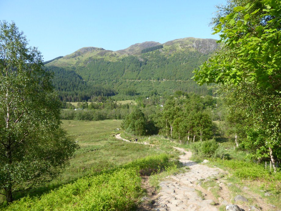
The next day we thought an easy walk up the glen would be a good way to recover, so were a little concerned when we saw this sign at the start of the path.
The weather was again hot, but today felt closer and we did have a few spots of rain. The path does pass by some big drops but is quite wide so as long as you stay away from the edge you should have no problems.
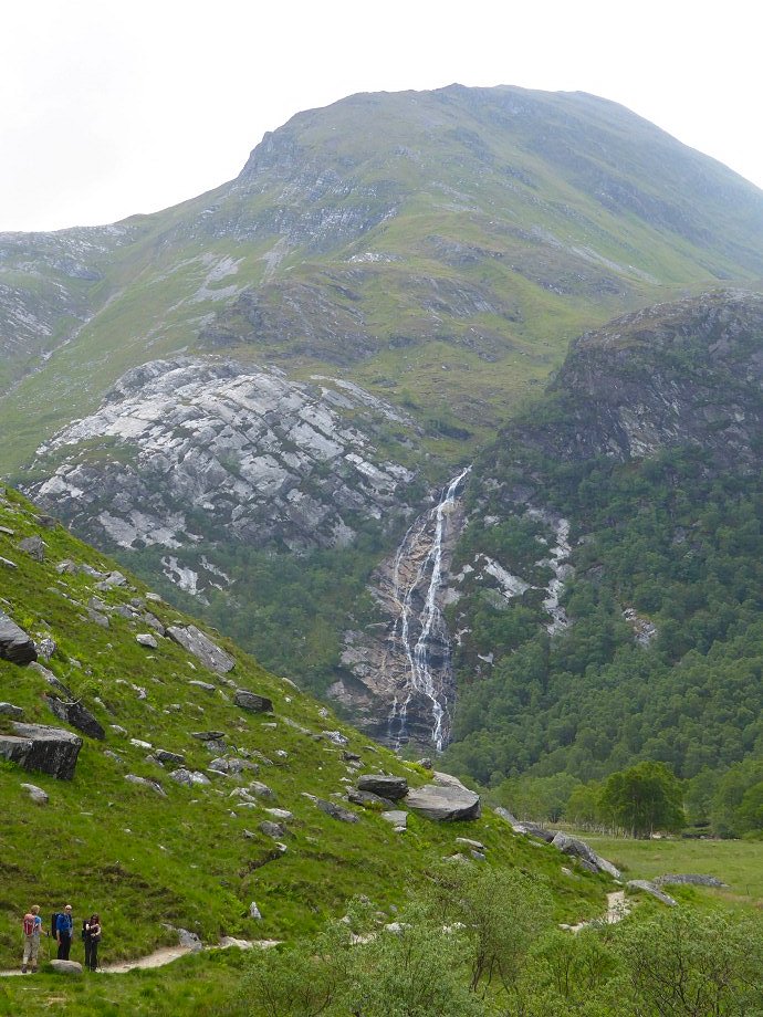
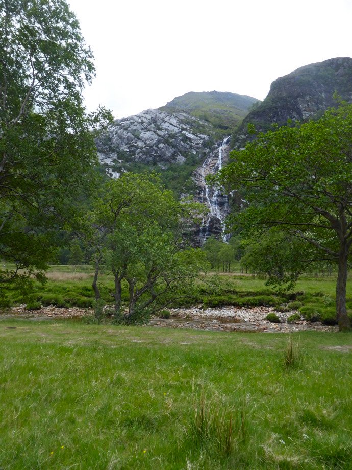
After passing the steep drops the glen opens up and the wonderful Steall falls come into view.
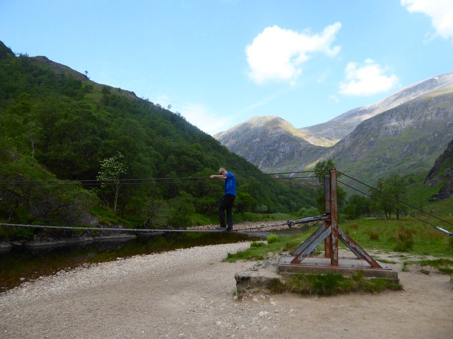
Beefy tries his hand on the cable bridge over the river
Steall falls again.
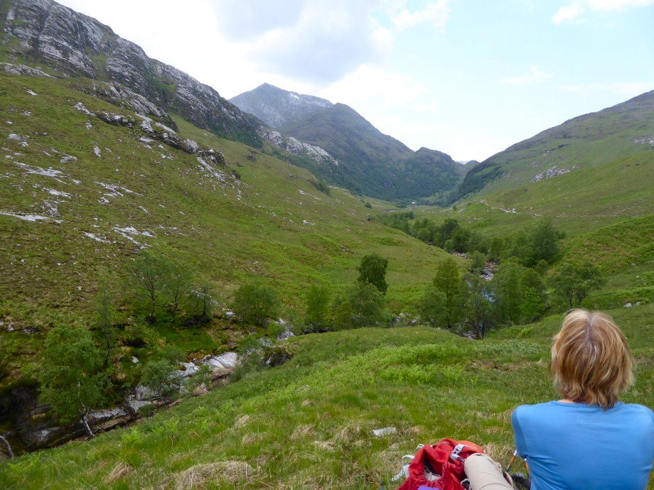
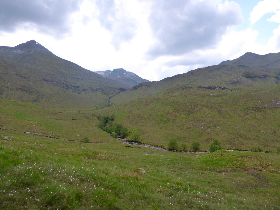
The view back down the glen with Sgurr-a-Mhaim towering above the bothy.
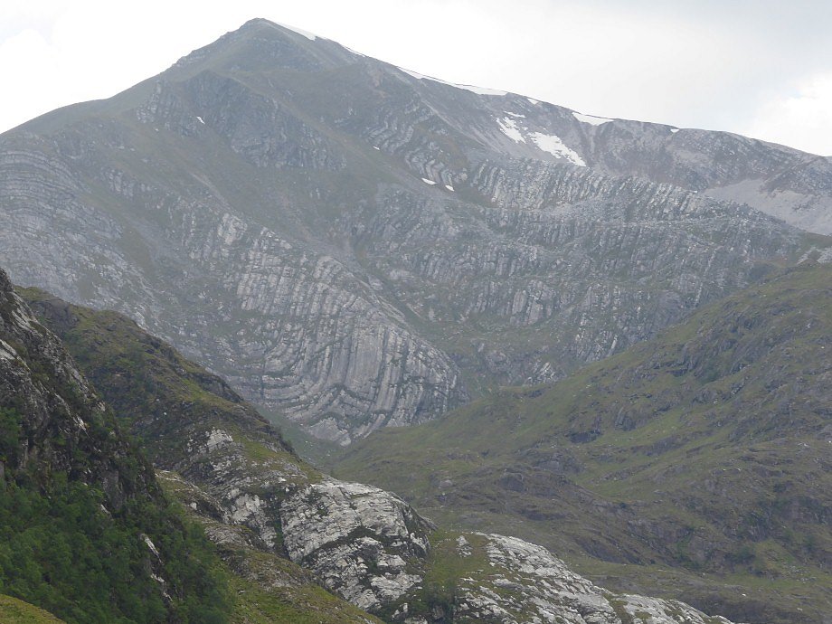
Very interesting geology but I'm not sure which mountain this is.
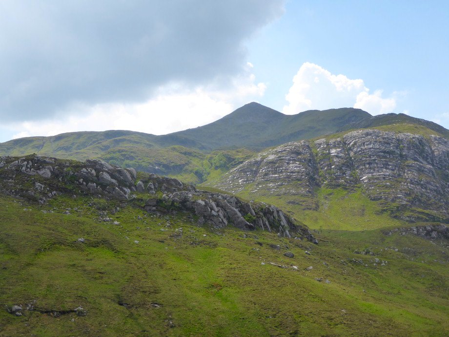
But I think this is An Gearannach.
It was so warm and close that we only walked a couple of miles along the glen before turning around. We dropped down to the river to see if there might be a place to paddle.
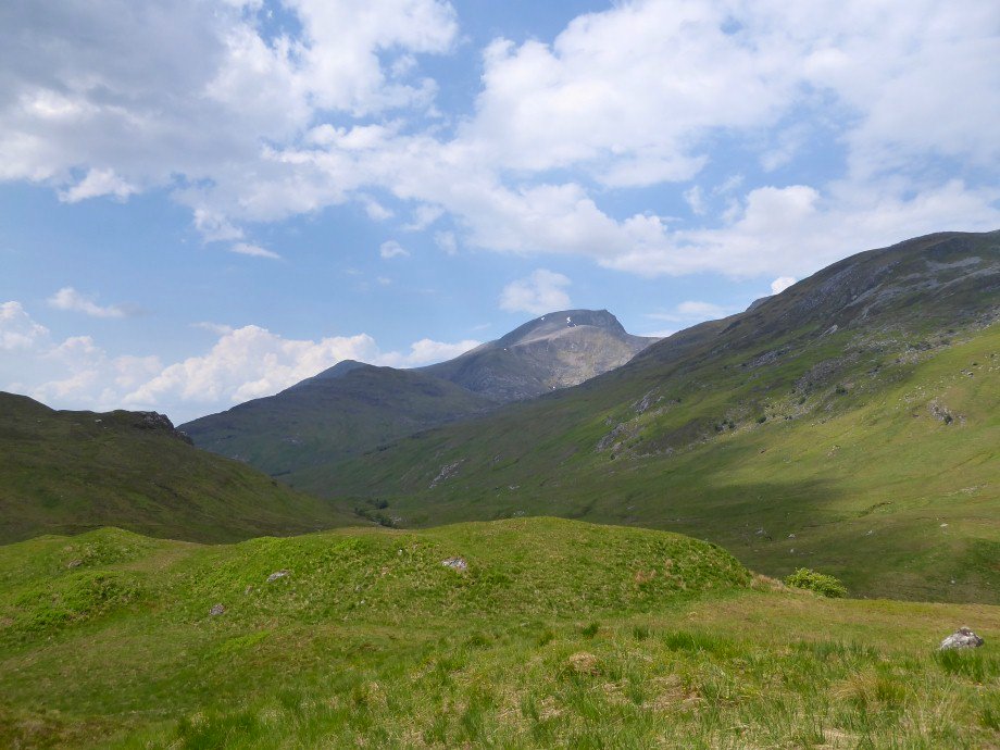
I think this could be Ben Nevis.
There wasn't just a place to paddle there was a place to have a proper dip. So that's what we did and it was fantastically refreshing.
Beefy with Binnien Mor behind ( another hill I've never heard of but is about 500ft higher than Scafell Pike )

The rocky valley on the way back
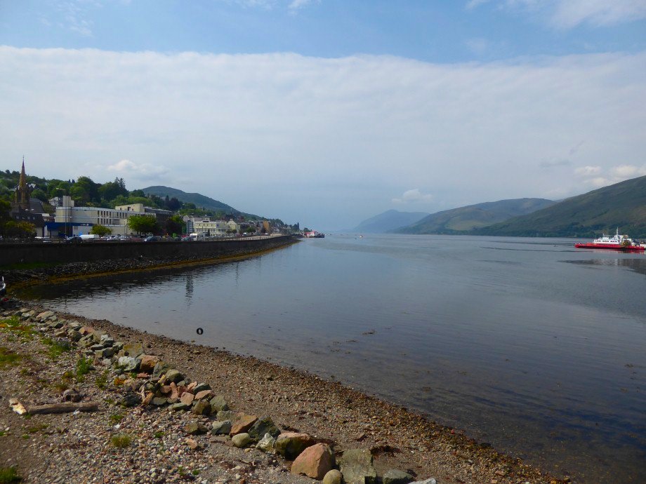
A view of Fort William and Loch Linnhe as we see Sue of on her journey to the isles and head for the railway station for the long journey home.