WWW.KARLSWALKS.CO.UK
PICTURES AND TRIP REPORTS FROM MY WALKS IN THE ENGLISH LAKE DISTRICT
|
|
|
|
Two weeks in one in this report, both walks were fairly short and after our luck with the good weather we were back to dull skies on the15th and storm Brian.on the 22nd
Actually there was a bit of blue sky about but it was away over to the north west.
. 
Parking at the top of the hill out of Pooley Bridge saves a climb. We only followed the main track for a few yards as we wanted to climb Heugh Scar. Arthur's Pike can be seen in the distance..
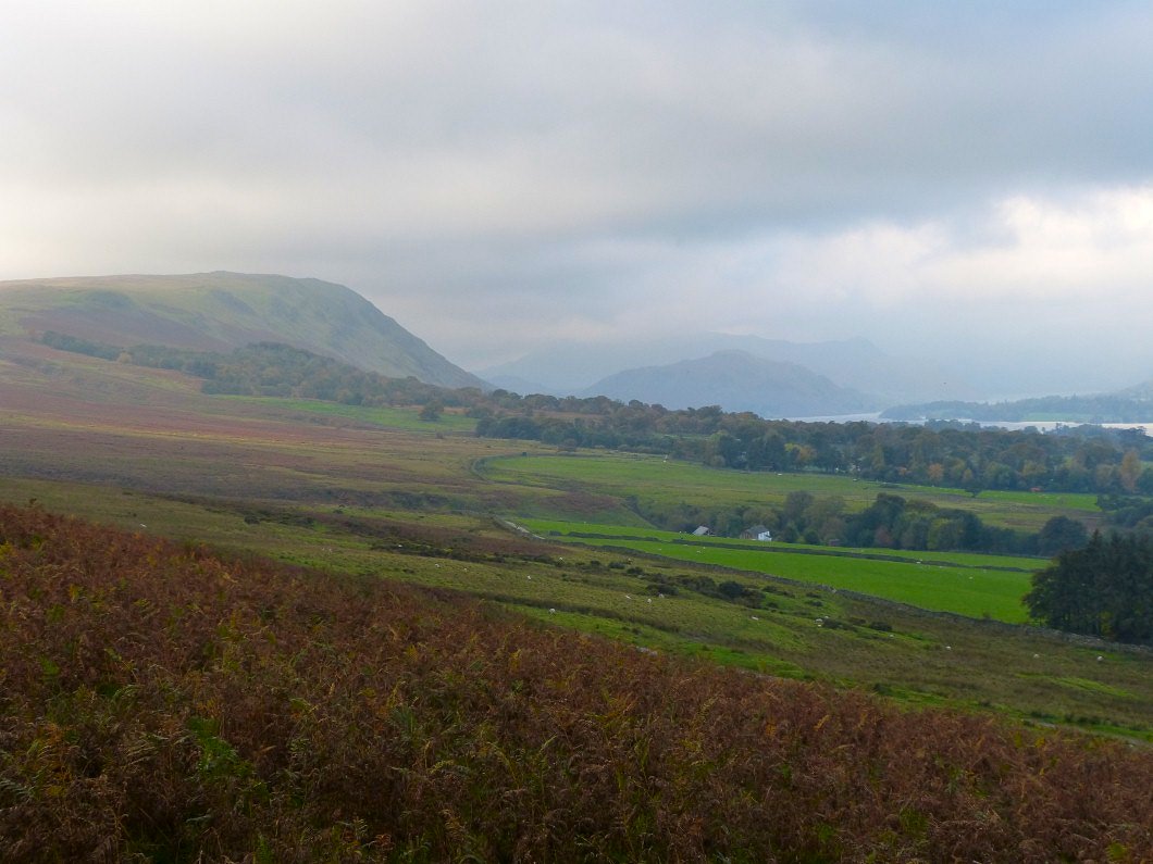
As we climb higher Hallin Fell comes into view with the high fells in the mist beyond.
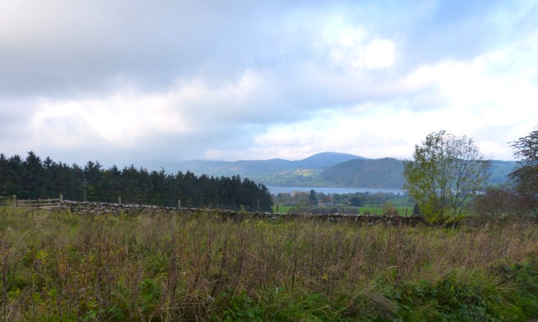
Ullswater and a sunny Great Mell Fell from the limestone outcrop of Heugh Scar.
Looking along Ullswater again this time from the top of Heughscar Hill.
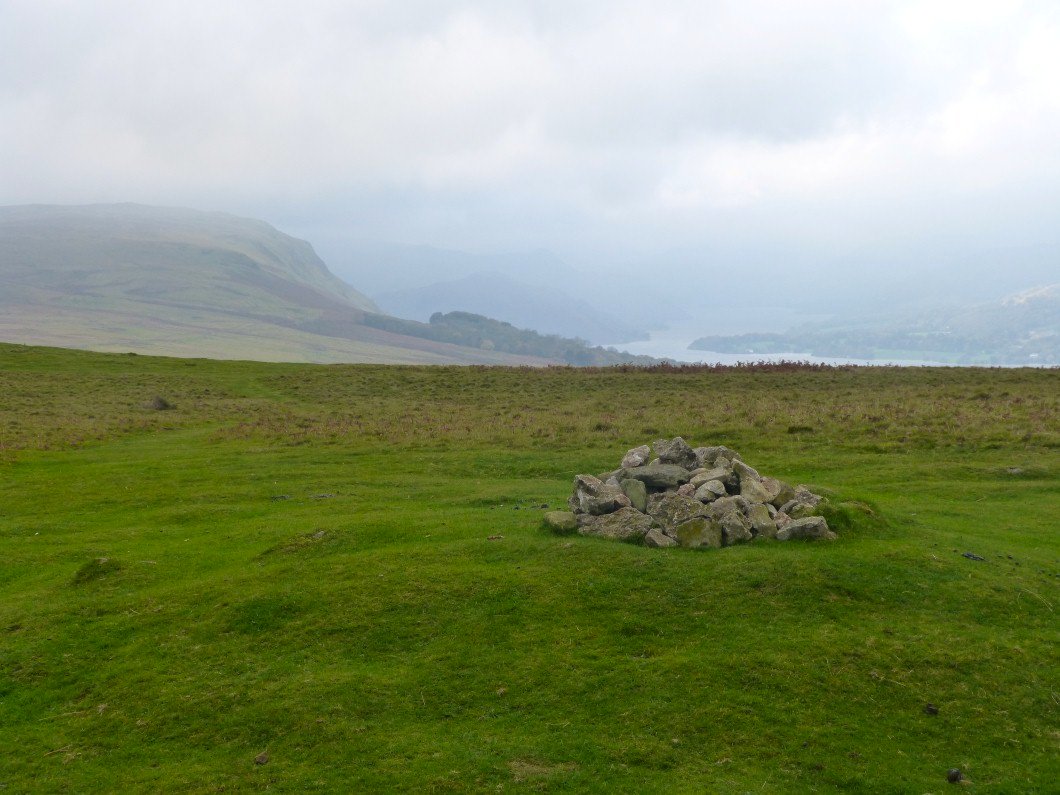
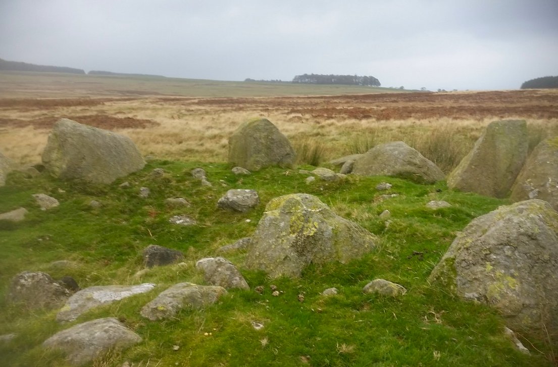
The Cockpit stone circle.
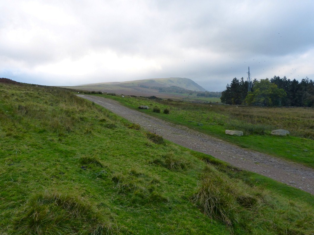
We followed the course of the Roman road up the hill. As you can see it's fair to say that it's fallen into disrepair..
We had seen a path on the map leading away from the Roman road which would enable us to have a circular walk. This path took down and then over the delightful little top of Knotts.
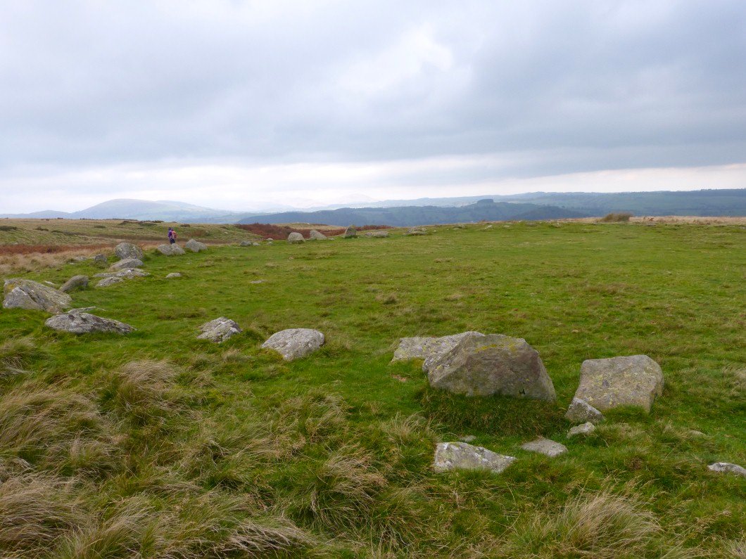
From Knotts we walked a farm access road for a few yards then took the well used path over Moor Divock which is littered with cairns and small stone circles.This is named on the map as a chambered cairn.
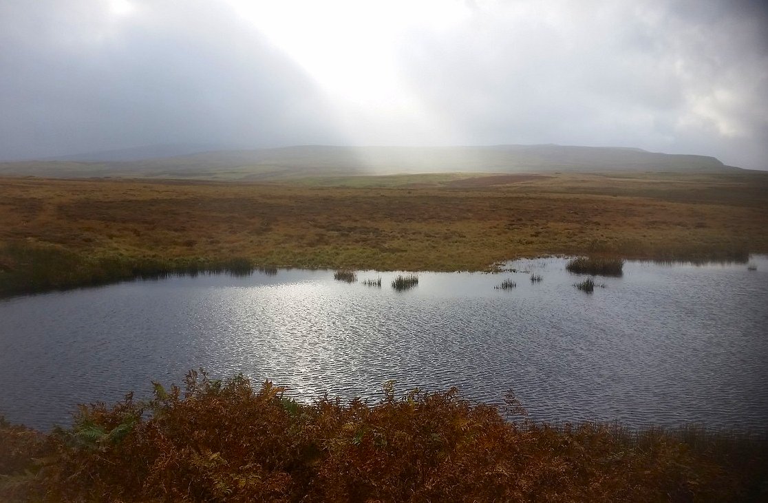
Also scattered on the moor are several shake or Wofa holes which are caused by the collapse of an underlying cavity in the limestone. This one had filled with water making an attractive little tarn
I don't know why we though it was a good idea to make the long drive to bag these minor tops at the height of storm Brian but that's what we did. This walk starts from the highest point on the Corney Fell road which is a remote single track road over Corney fell, but as it's a very handy shortcut on the journey up the west coast and is also used by the workers at Sellafield on their commute there is more traffic travelling over than you'd expect.
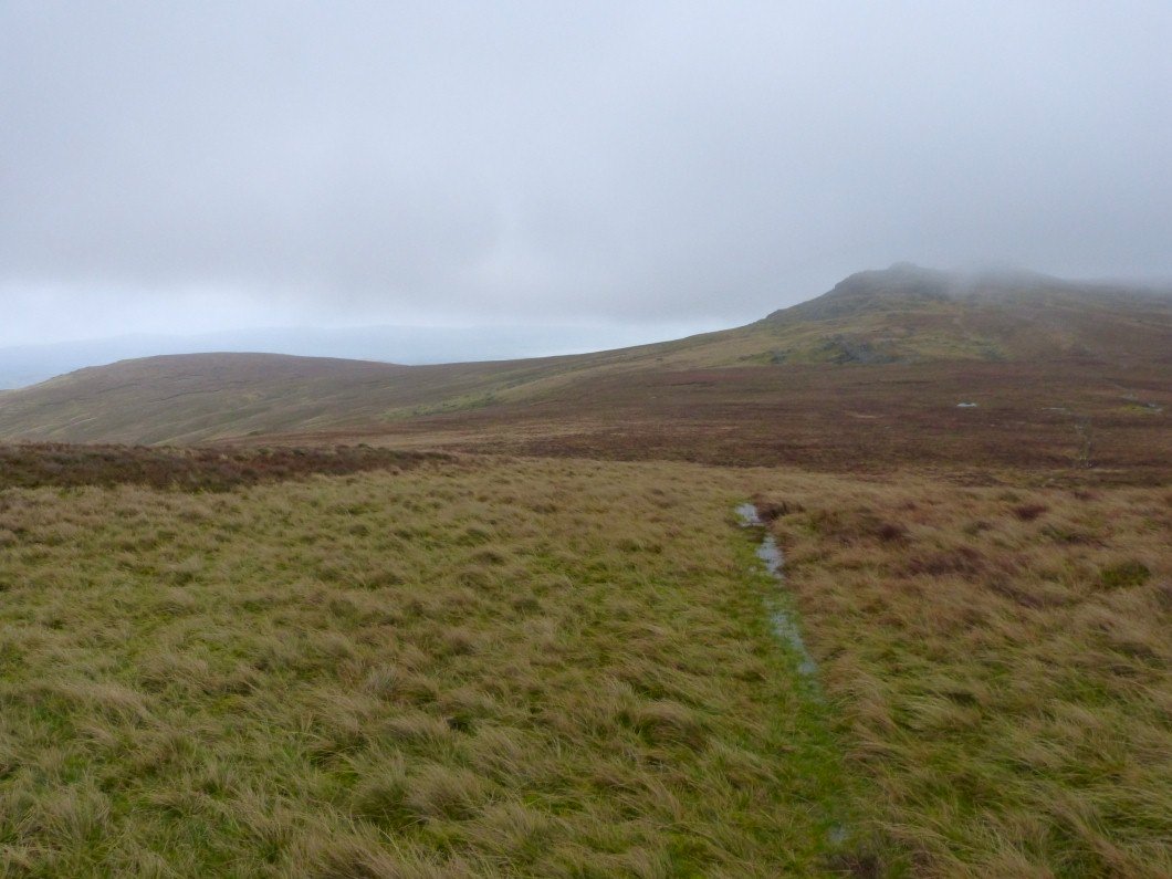
Looking back to rocky tops of the Buckbarrow fells, Storm Brian was at his height when we climbed these so I didn't take any photos as I needed both hands to stop myself from being blown over. Thankfully the rain stopped as we made our way to Burn Moor but it was still very windy.
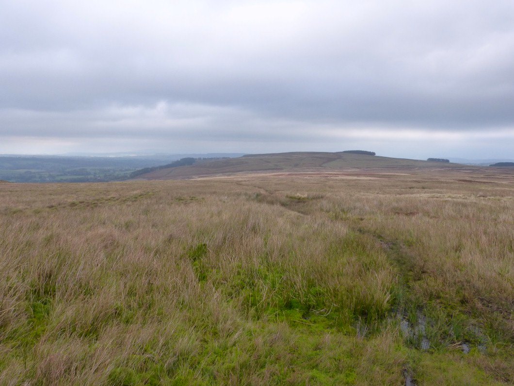
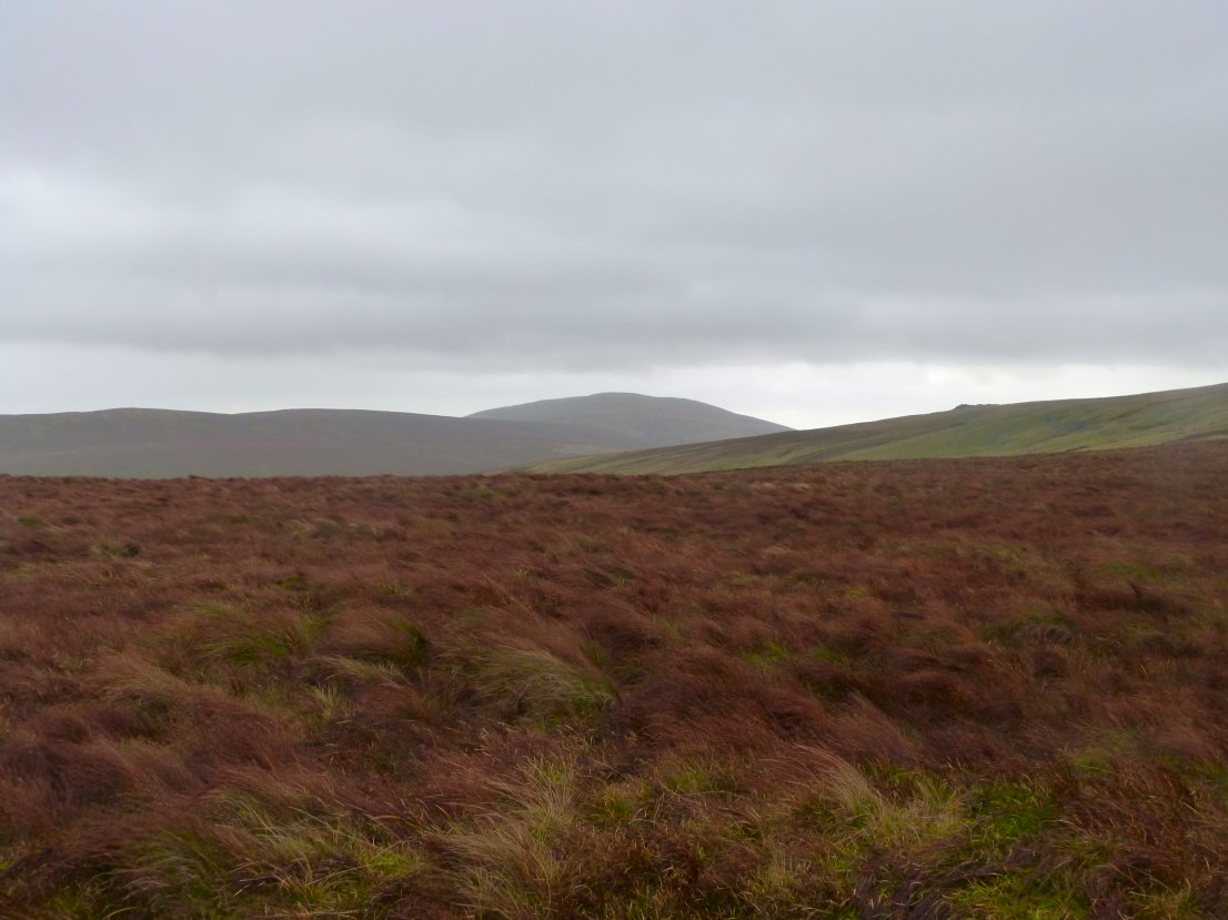
On Burn Moor now looking back the way we had come. The big fell in the distance on the right is Black Combe.
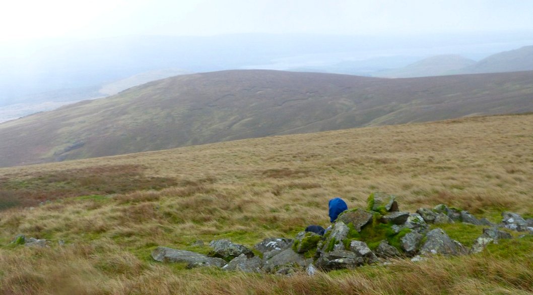
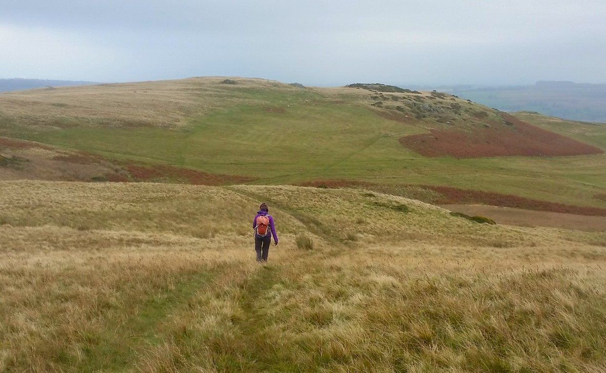
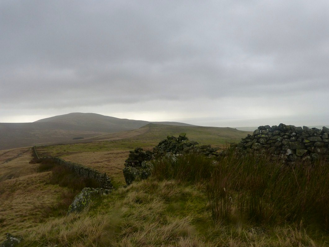
Handy rock shelter just away from the top of Burn Moor. And it gives a good view of Plough Fell our next target.
Wet tussocky grass in high winds makes for very hard walking.
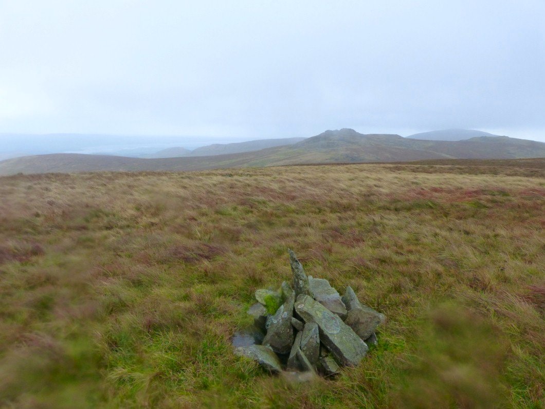
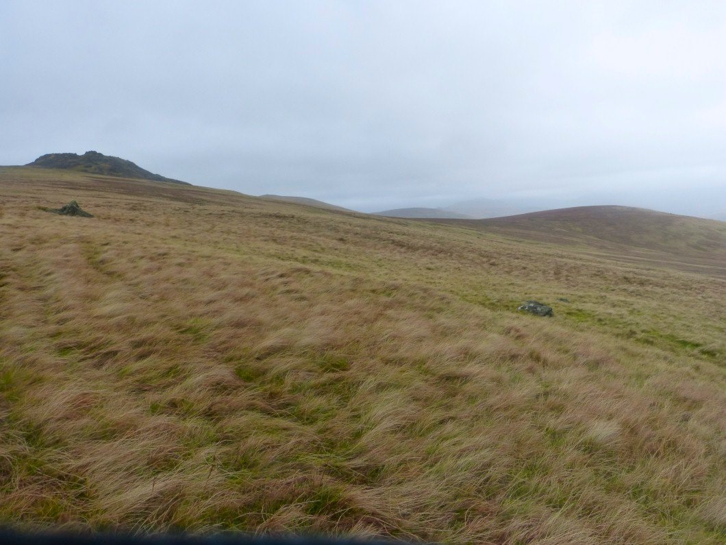
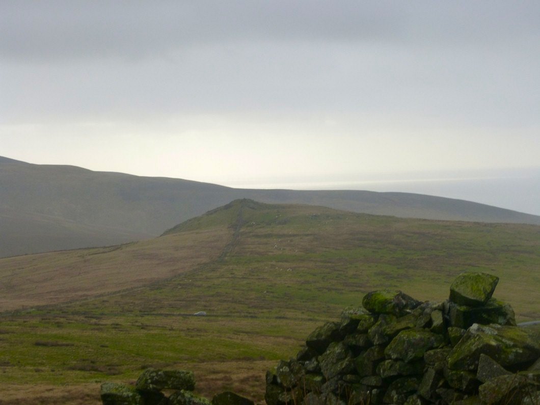
But eventually we make it to Plough Fell. The Pike and Ulpha are down there somewhere.
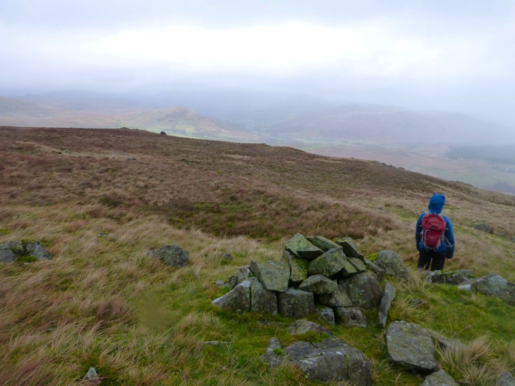
On the way back to the Corney Fell road. Plough fell on the right and Buckbarrow on the left.
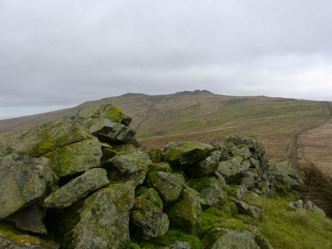
Looking over Stoneside Hill to the coast and Black Combe.
And zooming in on Stoneside Hill.
Unsurprisingly Sue elected to stay in the car whilst I made the short trip out and back, although getting in the car was quite problematic as the wind was so strong we could hardly open the door. This is the view back to the Buckbarrow group.
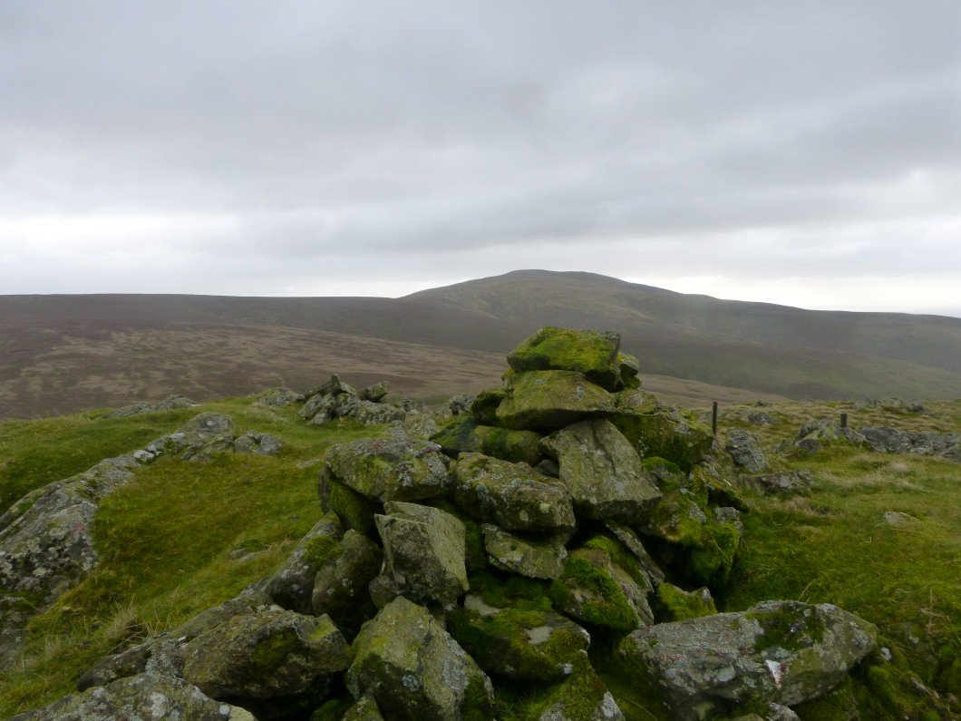
And in the other direction we have Black Combe.