WWW.KARLSWALKS.CO.UK
PICTURES AND TRIP REPORTS FROM MY WALKS IN THE ENGLISH LAKE DISTRICT
|
|
|
|
||||
|
|
|
|
|
|
|
|
E-mail - karl@karlswalks.co.uk |
Once I saw that we were in for a bit of decent weather this week-end I asked Sue where she wanted to walk on Sunday, she quite fancied a walk from Sadgill so I knocked together a route that would enable me to camp and then meet up for a walk and lift home. I then remembered that I have long wanted to climb the north east ridge of Ill bell so that was thrown into the mix as well.
With the excellent weather I got a bit carried away with the photos again so sorry about that.
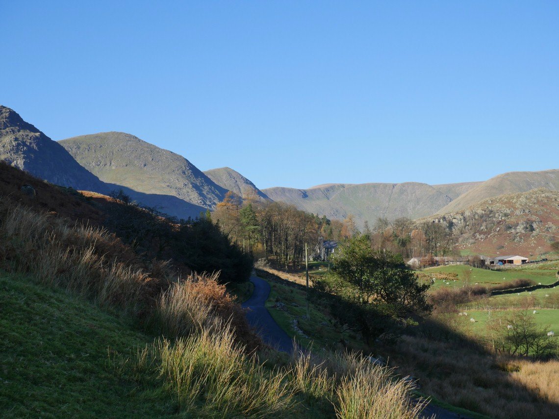
Due to train strikes and replacement buses getting lost it was half past ten when I set off from Staveley so I needed to get a move on if I wanted to camp somewhere near Harter Fell.
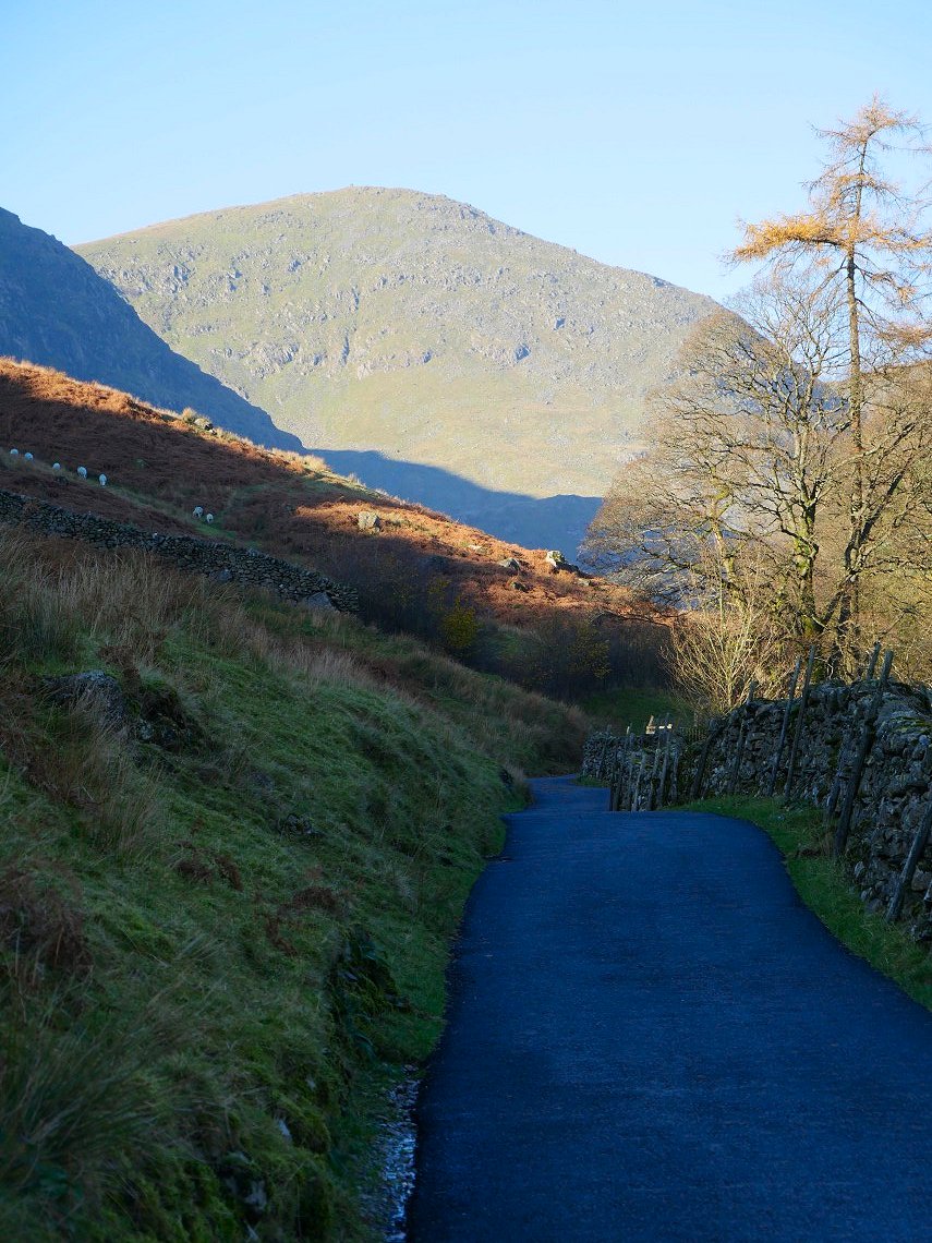
It's an easy walk along the valley though and soon I'm at Croft head and get my first view of the Harter Fell ridge.
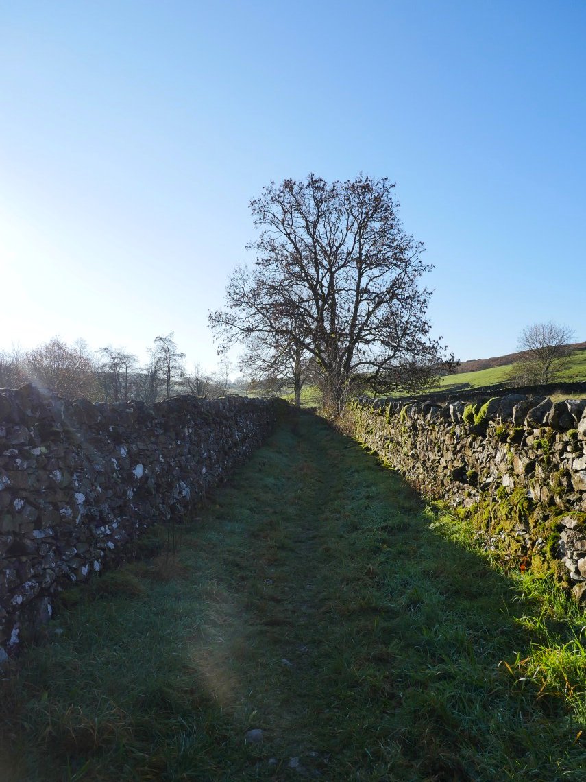
It's lovely walking these grassy lanes with blue skies and bright sunshine.
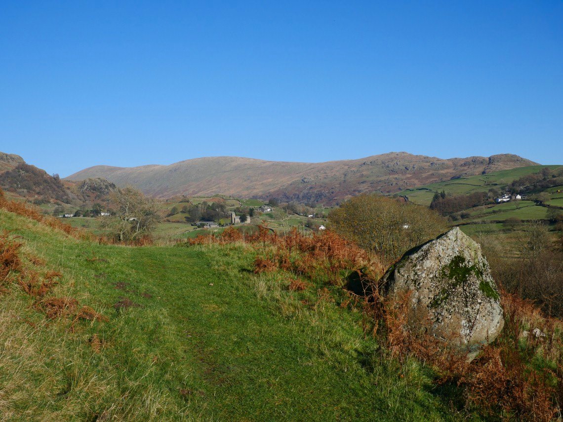
Nearing Kentmere now and the full Harter Fell ridge can be seen.
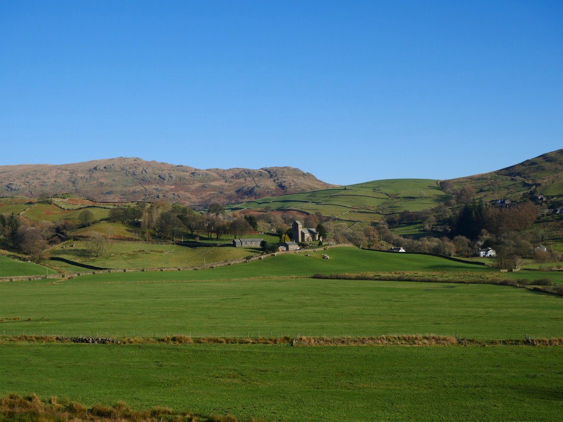
Beautiful Kentmere.
More lovely walled lanes on the way from Kentmere to the track to the reservoir.
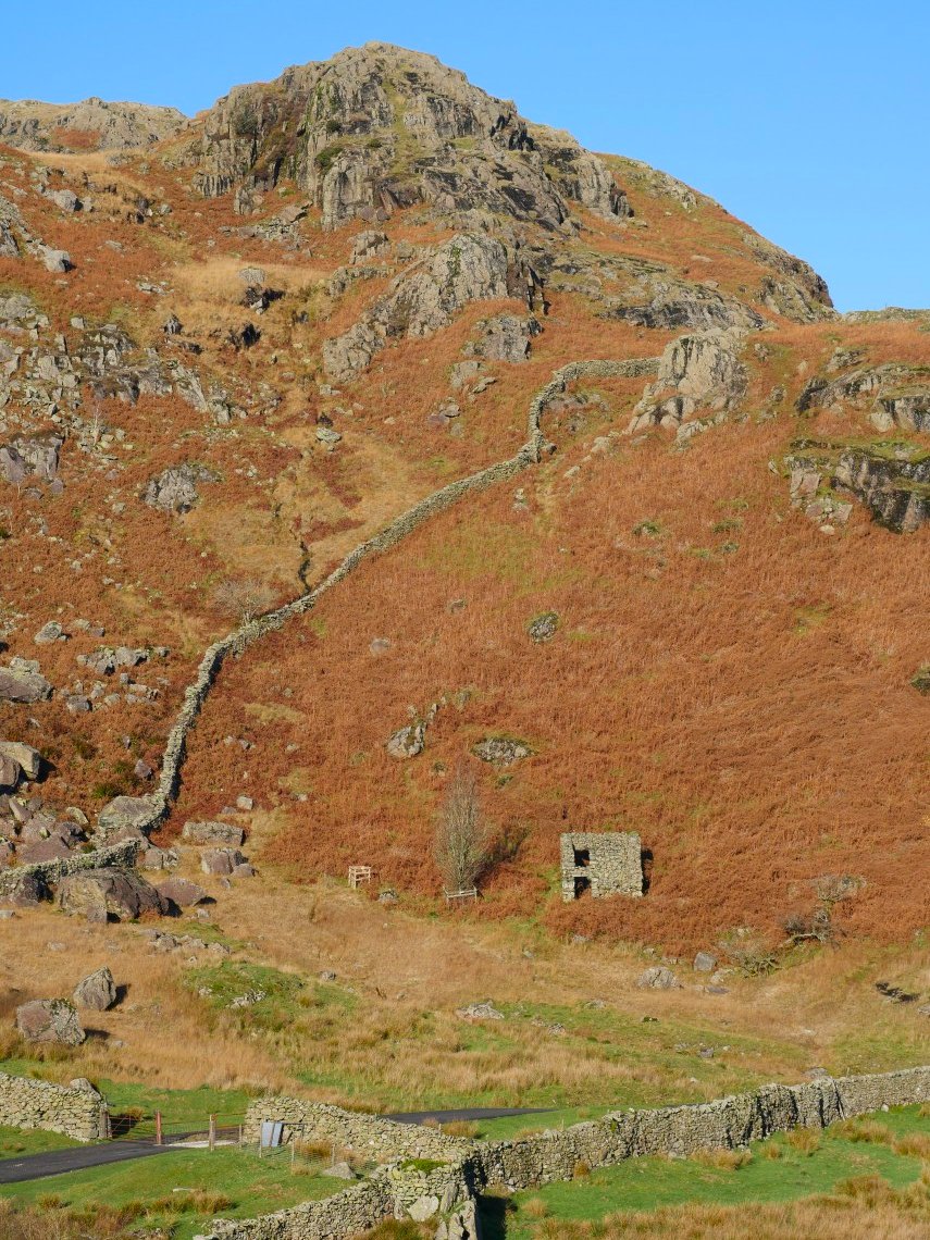
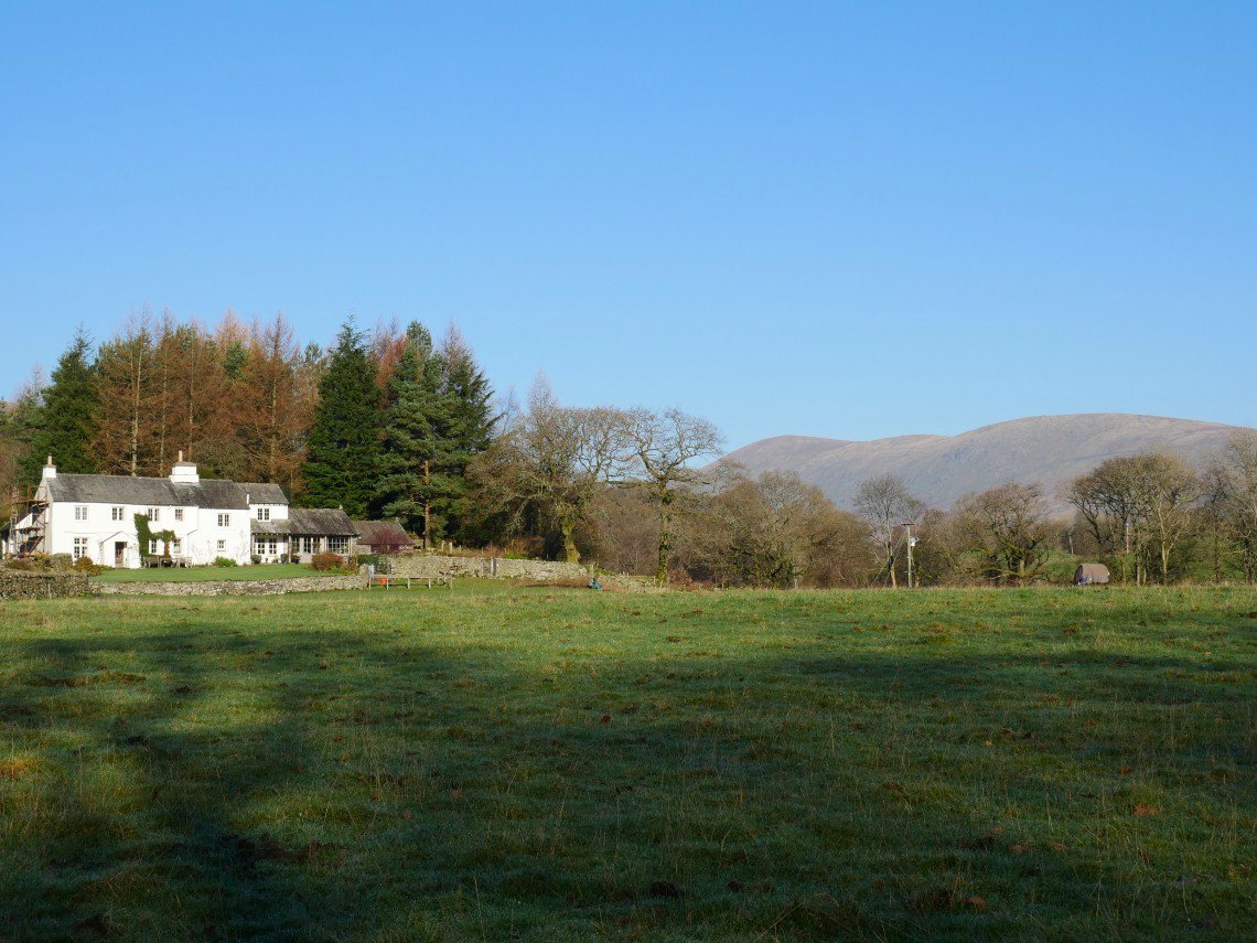
Stunning Autumn colours and a nice renovation project under Calfhowe Crag.
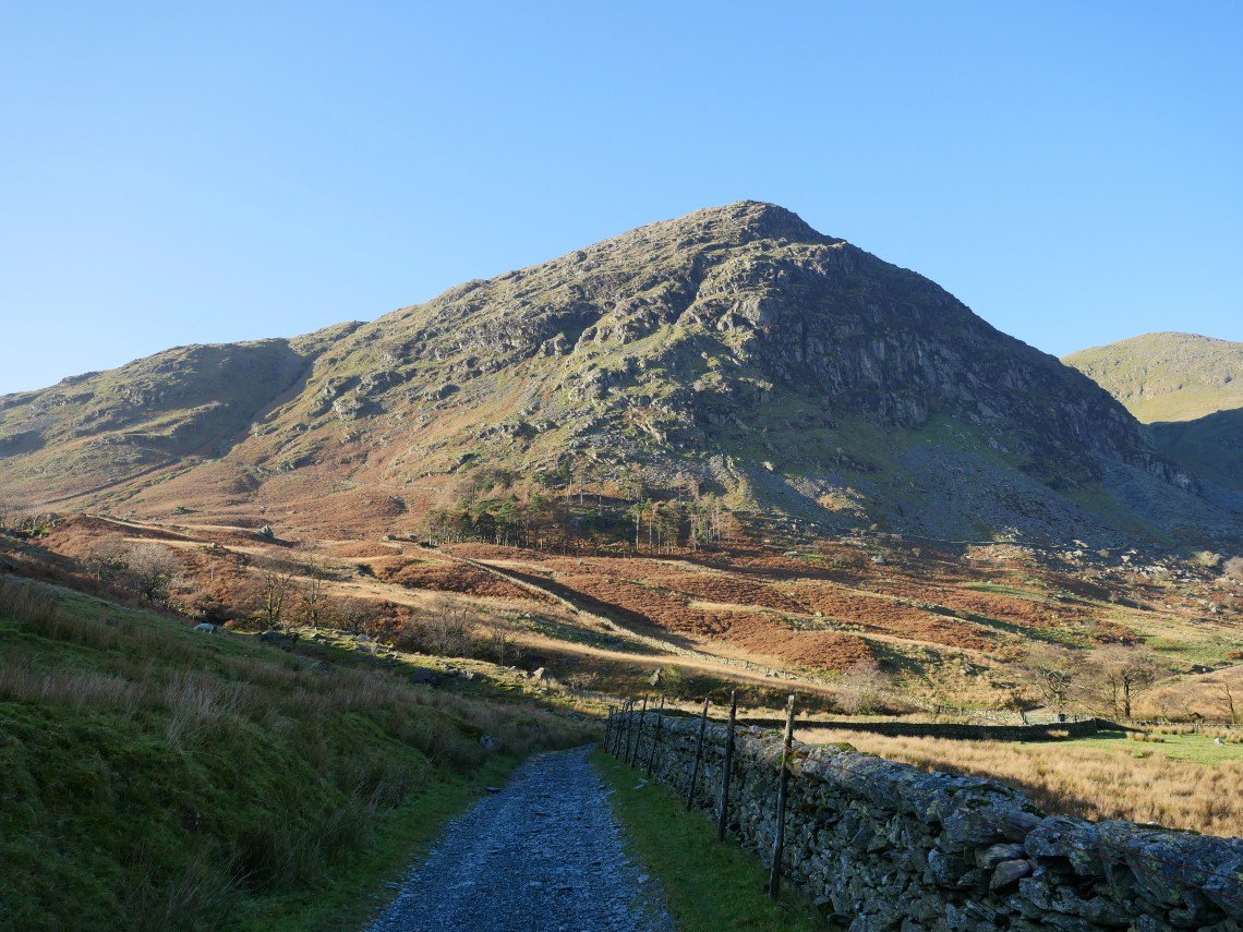
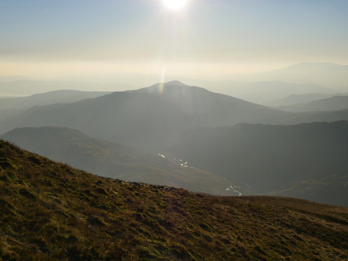
Further along the valley now and my first sight of the north east ridge of Ill Bell (the middle ridge of the three, above the trees ).
Zooming in a bit.
Rainsborrow Crag.
.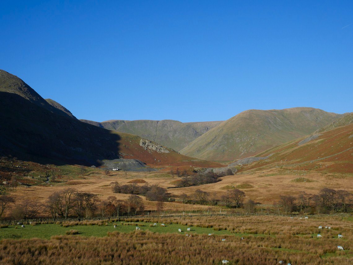
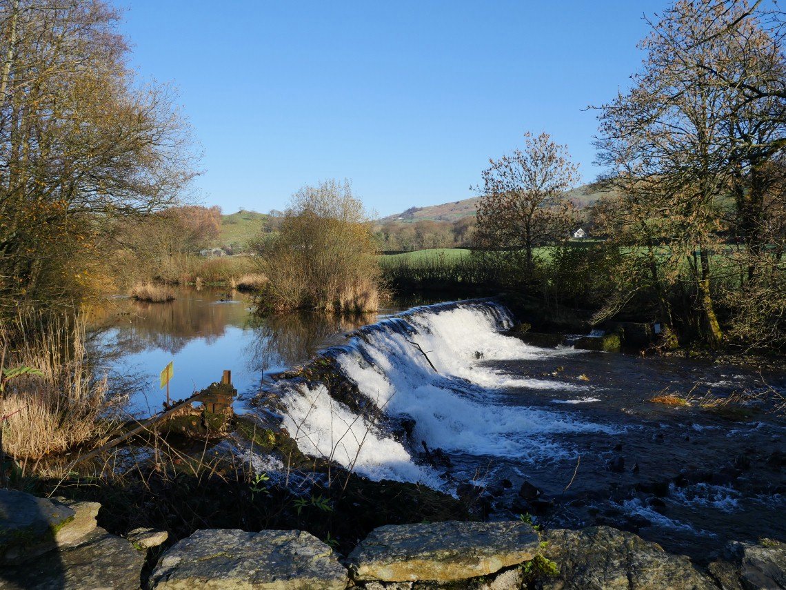
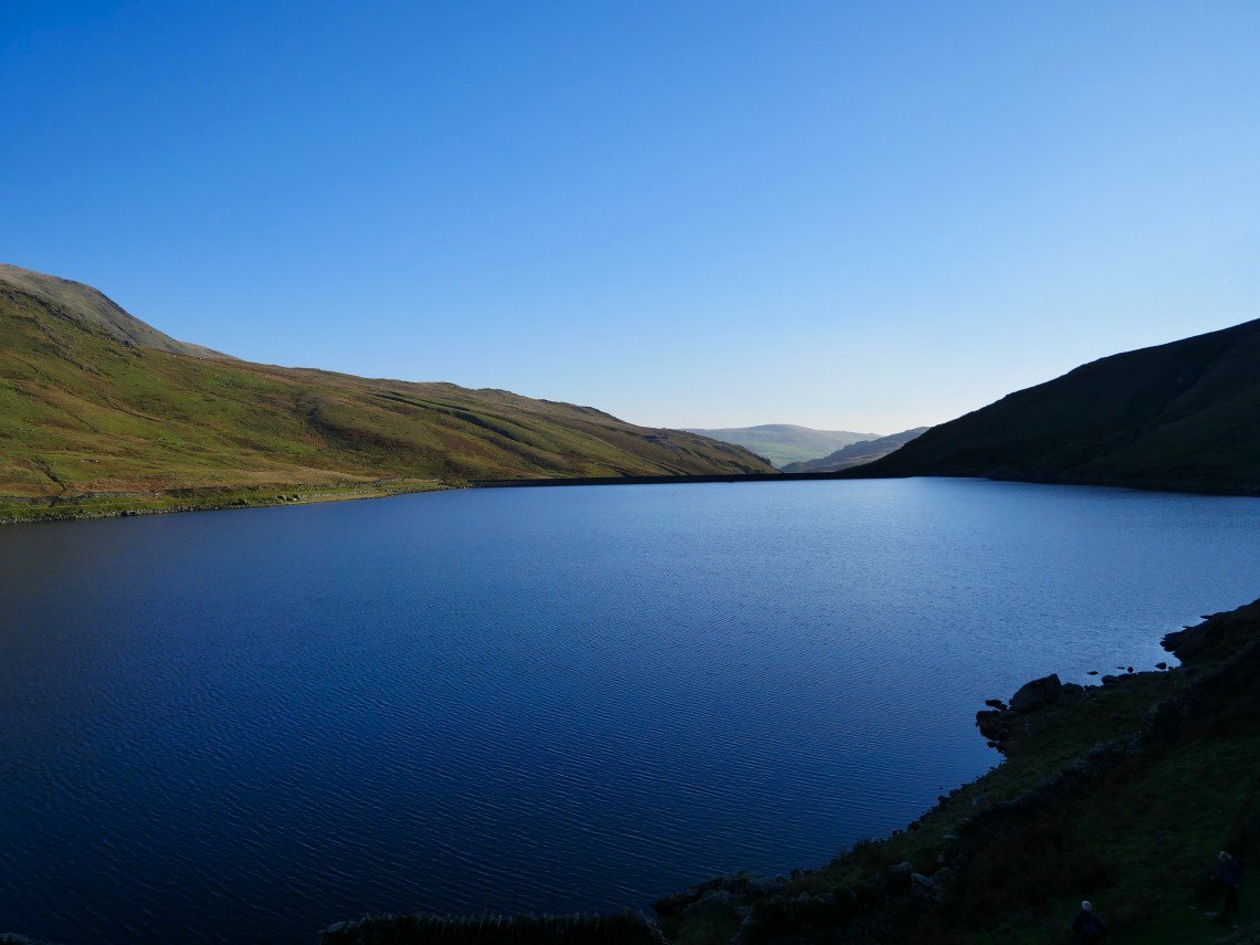
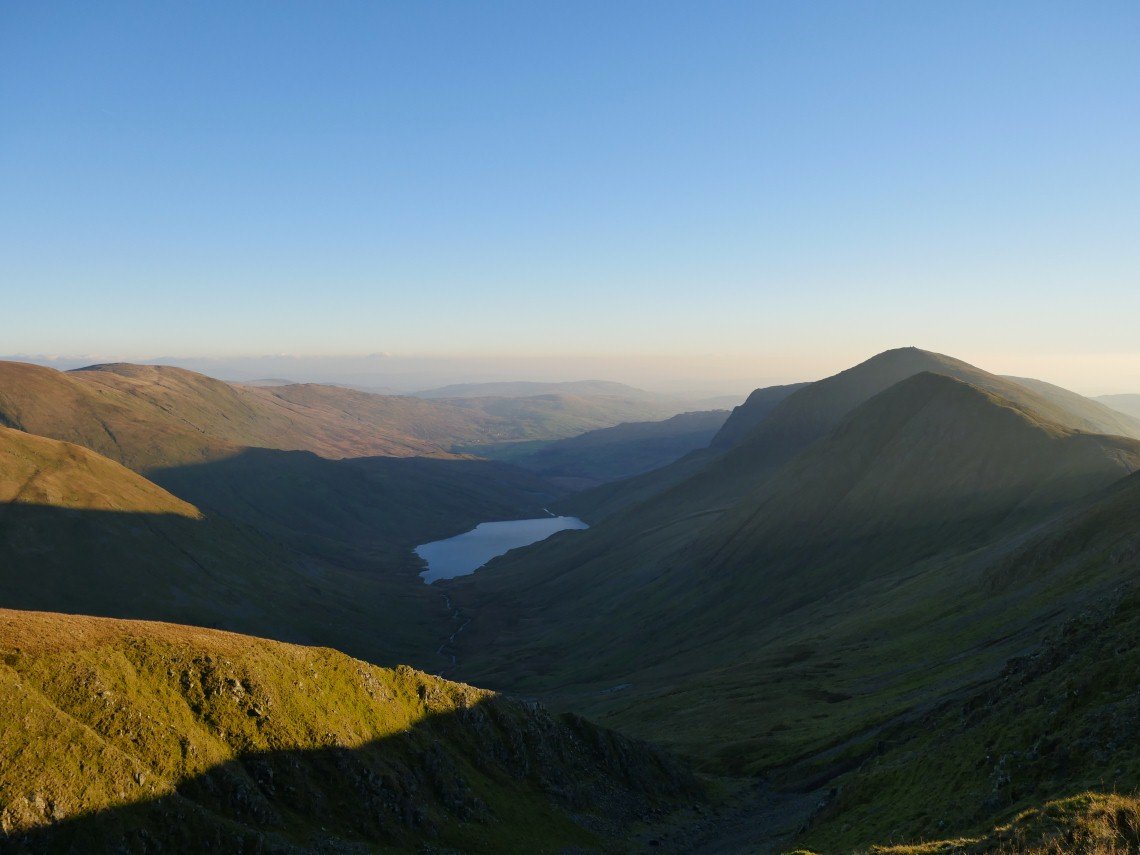
View up to the head of the valley. Lingmell End on the right. Reservoir cottage below the quarry spoil..
Lingmell End across the reservoir.
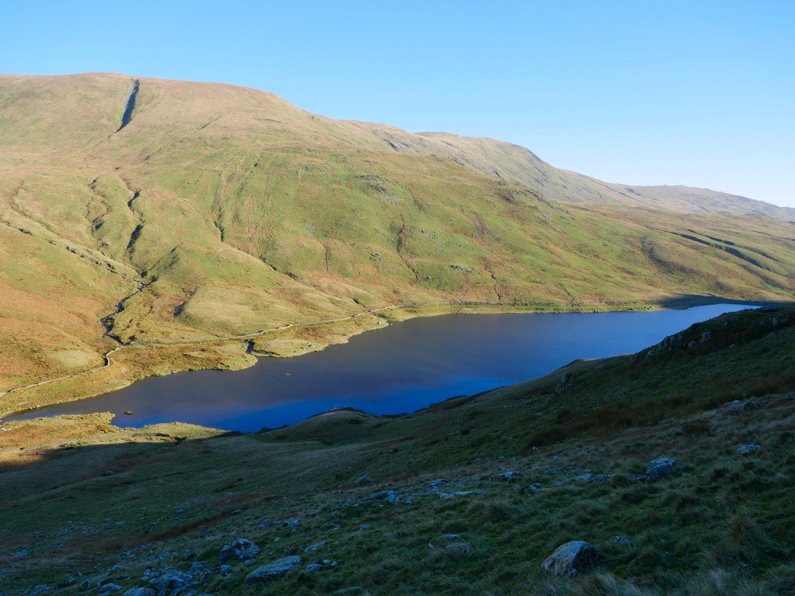
And the reservoir seen from the start of the climb up the ridge.
Heading for the small outcrop of Leads Howe.
Looking down from Leads Howe.
The very steep slope soon becomes a very very steep slope.
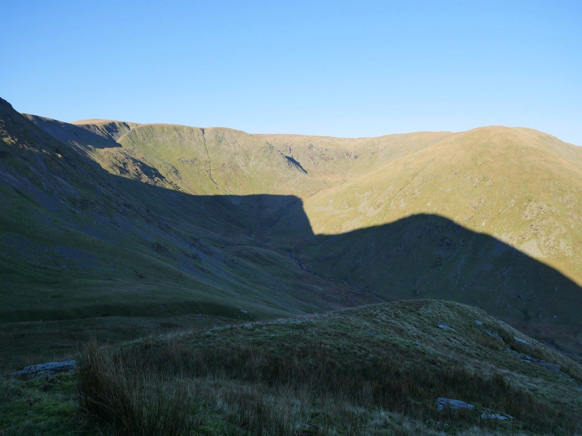
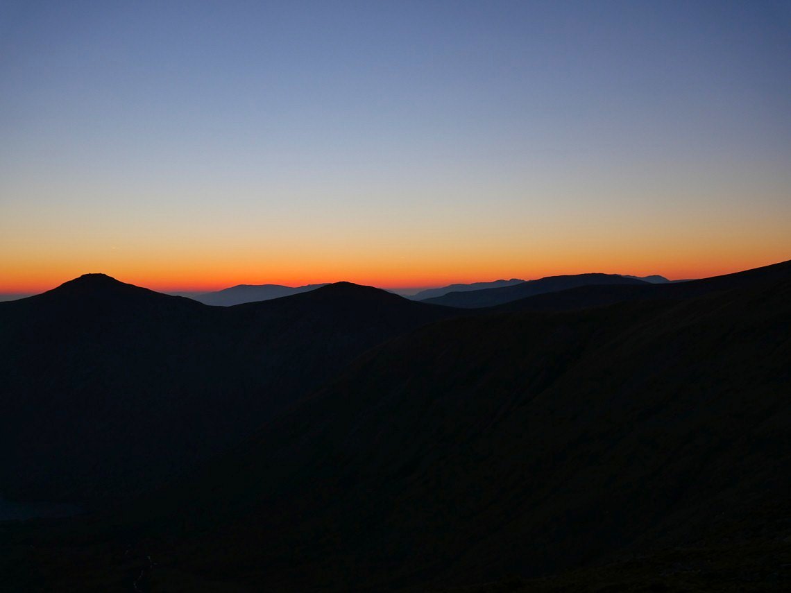
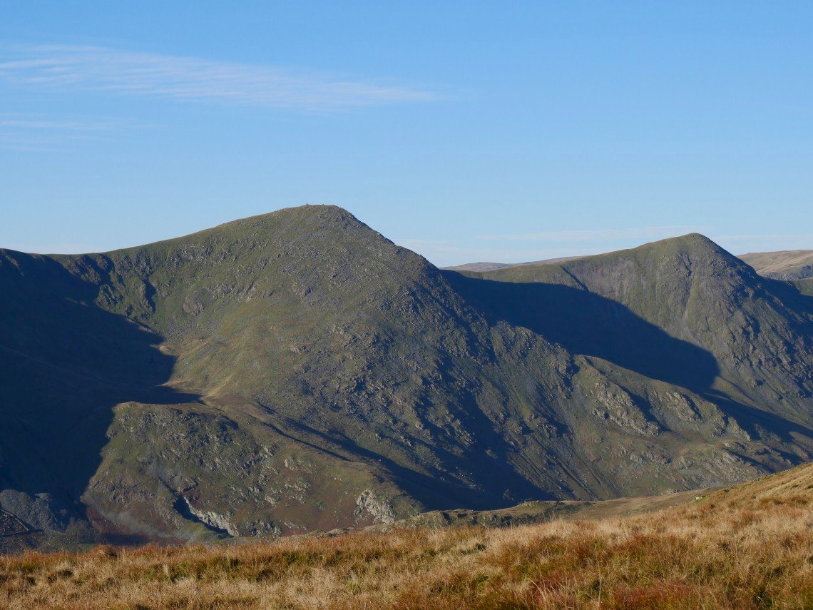
A perfect shadow outline of Froswick and Ill Bell.
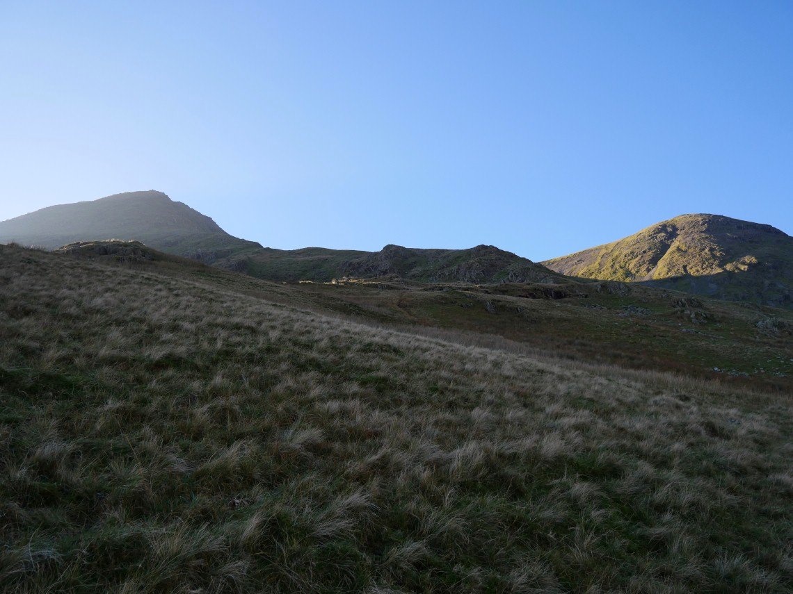
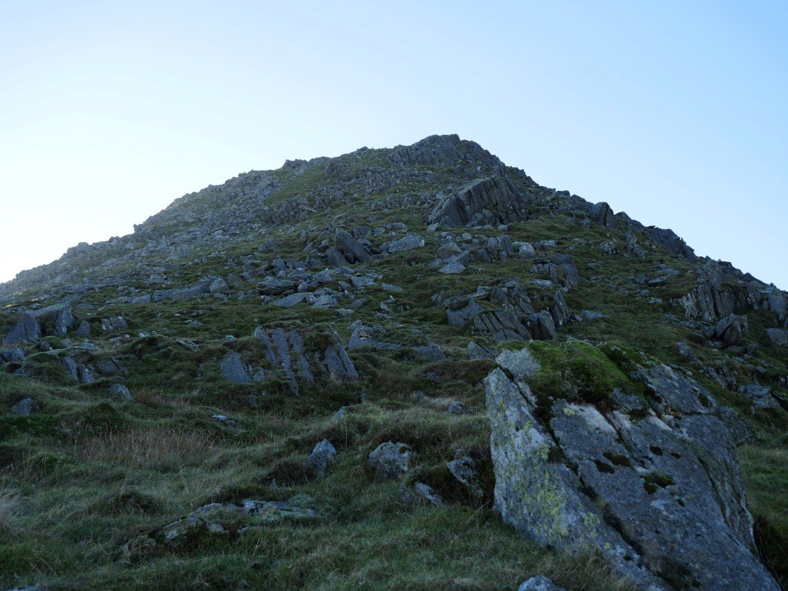
Starting on the final climb which although very steep is mainly on grass with no real hands on rock needed.
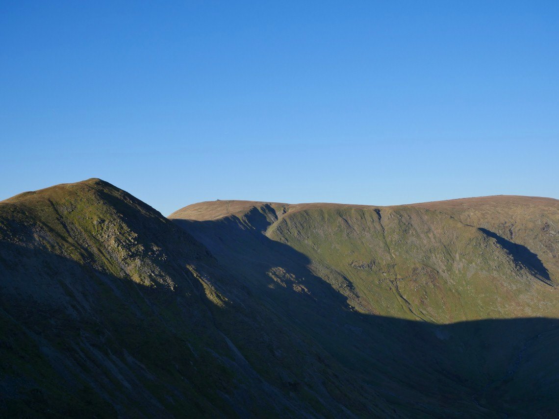
Froswick then Thornthwaite Crag seen from another rest stop on the climb.
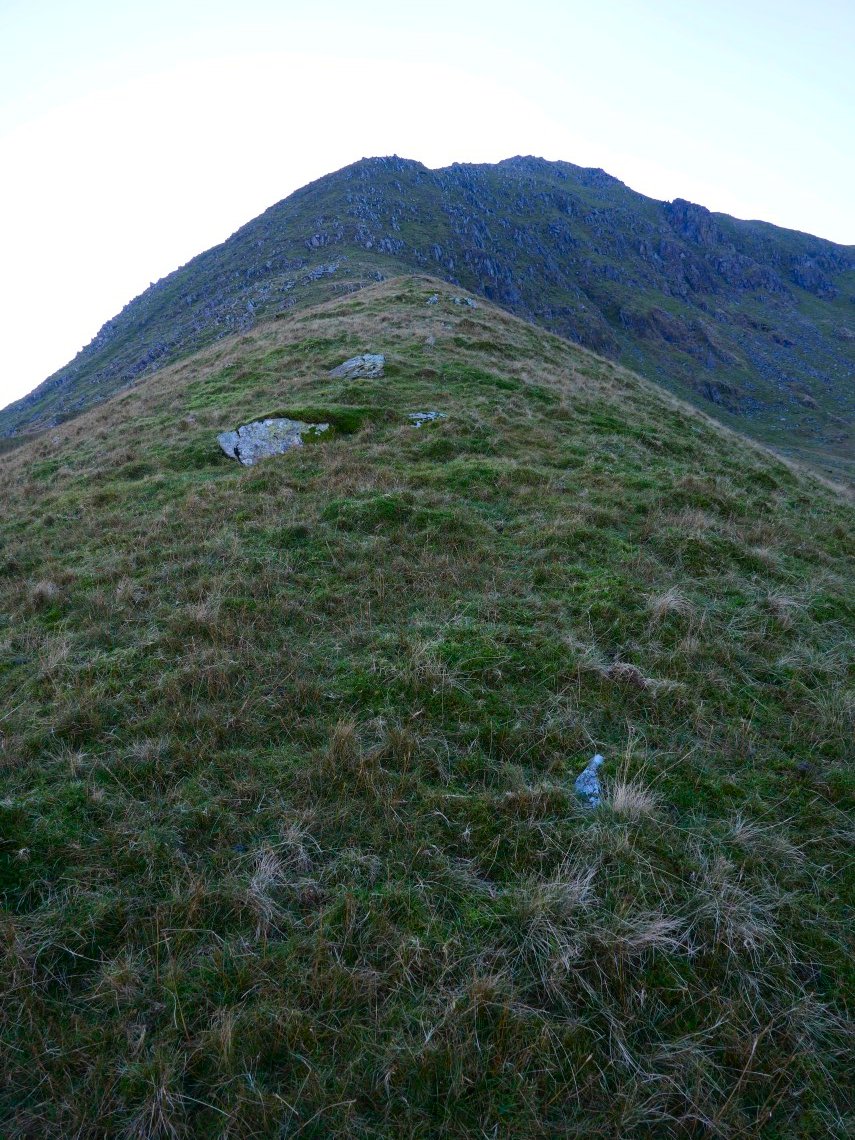
Nearly there now.
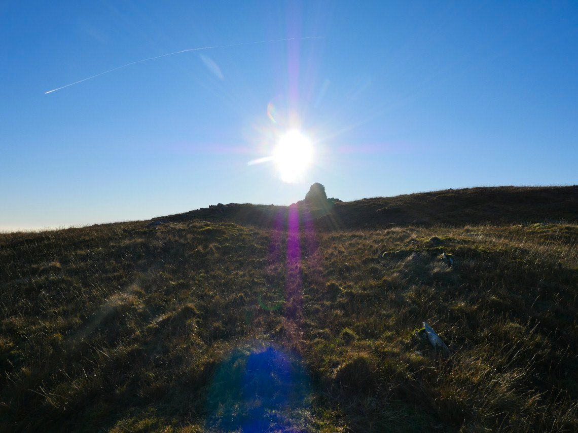
Finally one of the cairns on Ill Bell appears.
Hazy but fantastic view over to England's highest ground.
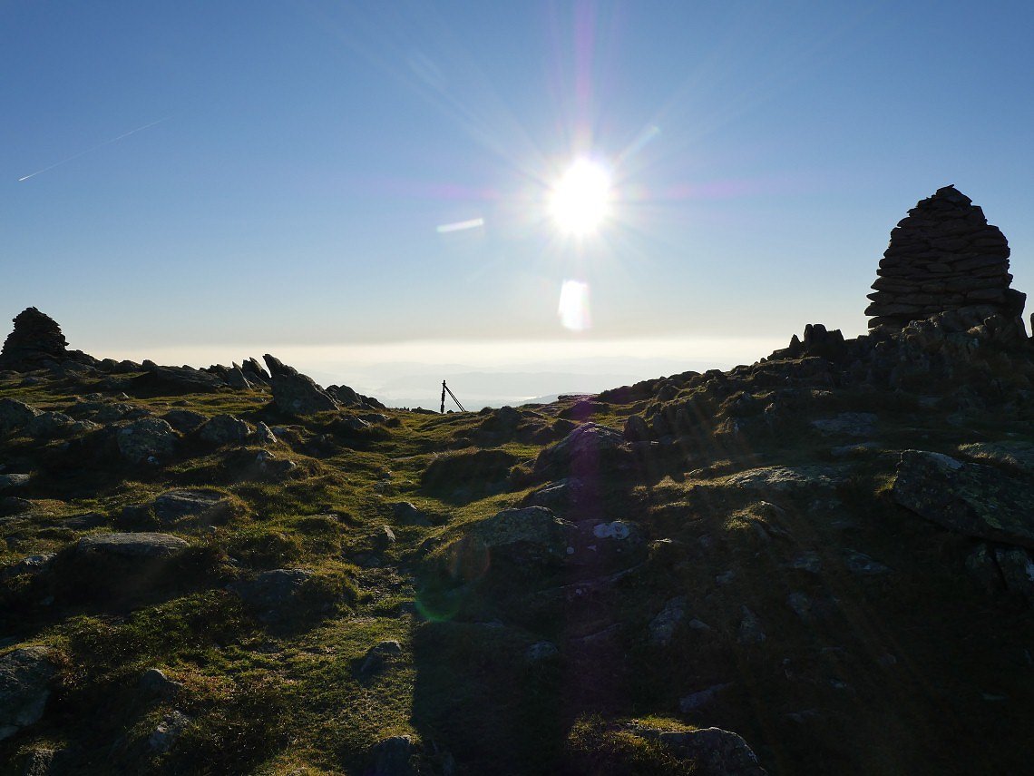
Looking southwards into the low sun from Ill Bell.
My route of ascent.
Trout Beck, The Tongue, Baystones and Wansfell seen from the slopes of Ill Bell. Usually you would like crystal clear air for better views but you can't deny that the haze makes the views special in their own way.
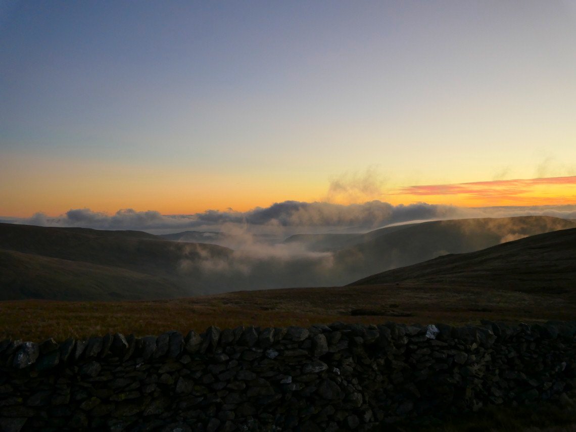
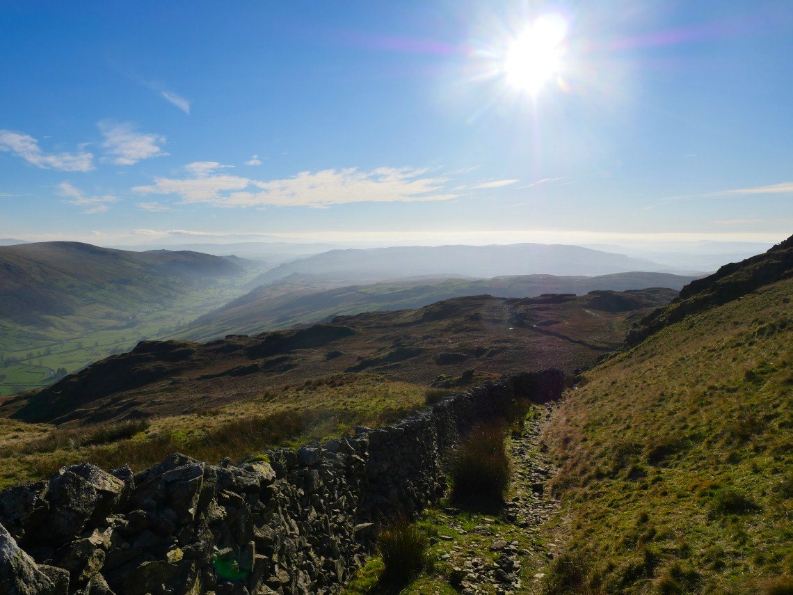
Mindful of the time I took the path around the head of the valley..
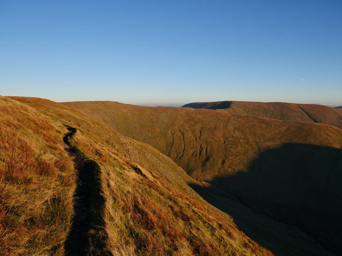
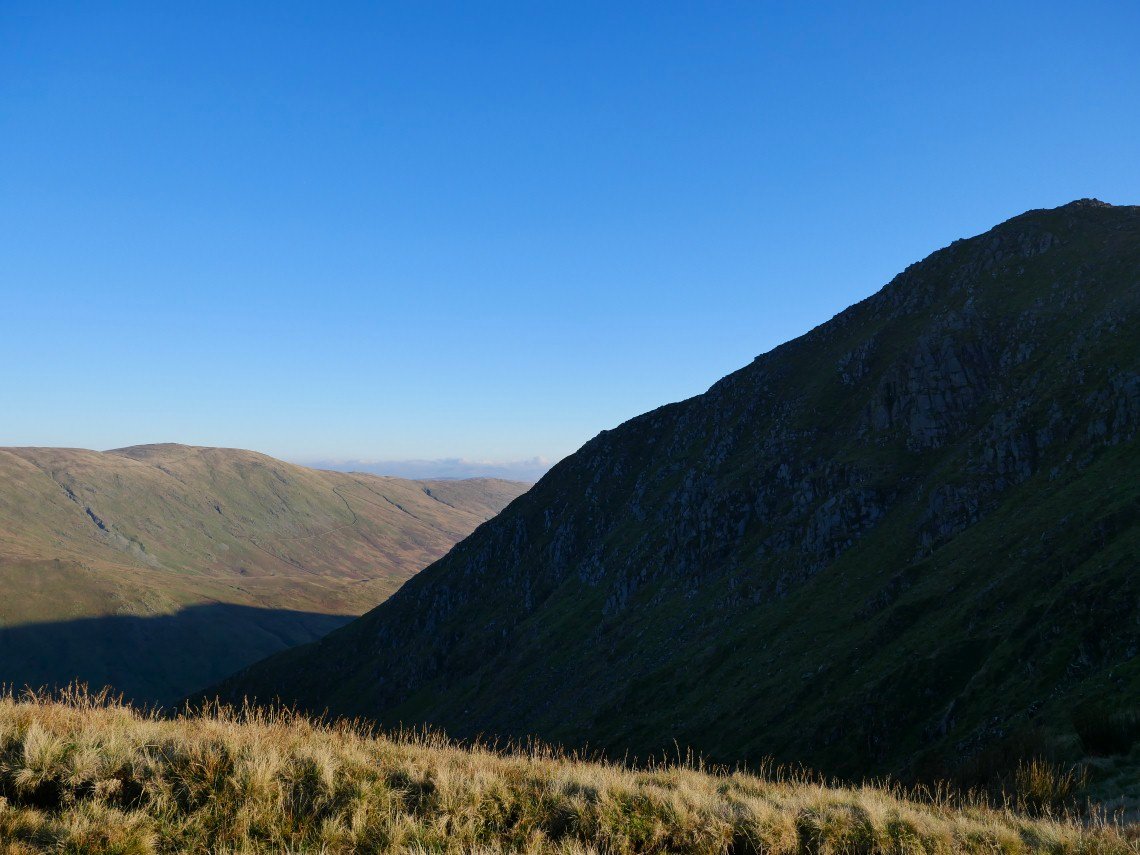
Which does become a bit of an airy trod at times. The clock is racing along now and Harter Fell still looks a fair march away.
Especially as I have to keep stopping to take photos.
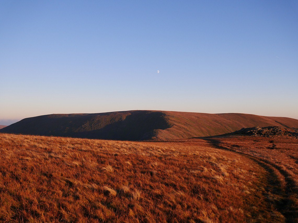
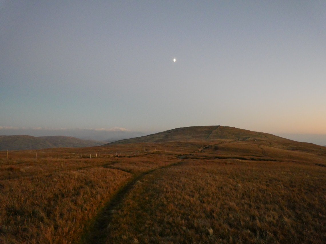
Harter Fell with the moon above. Marvellous afternoon glow to fells.
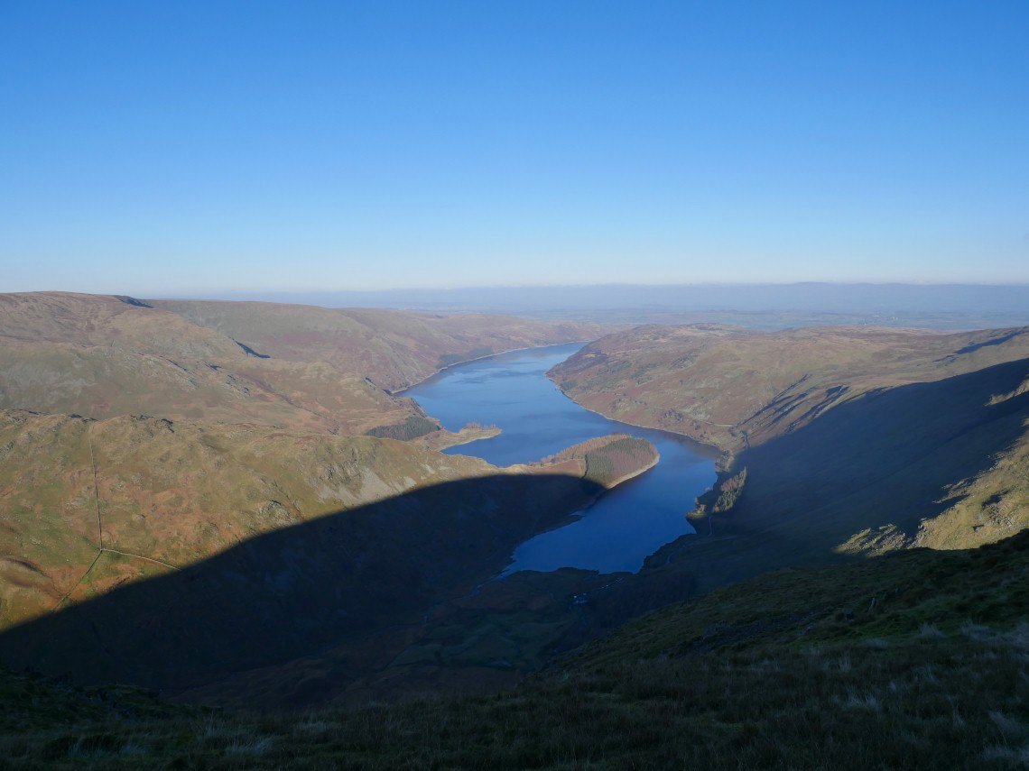
But Small Water and Haweswater have seen the last of the sun today.
.
The last moment of sunshine.
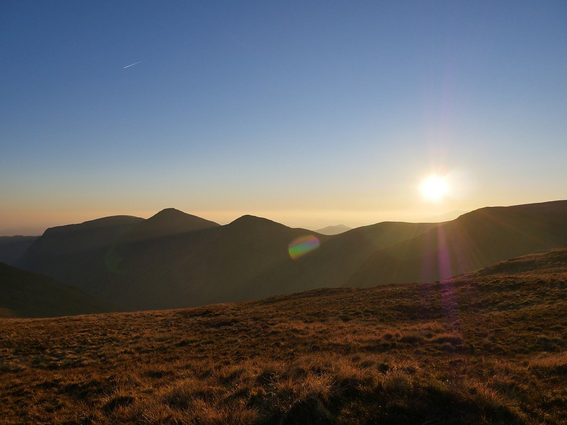
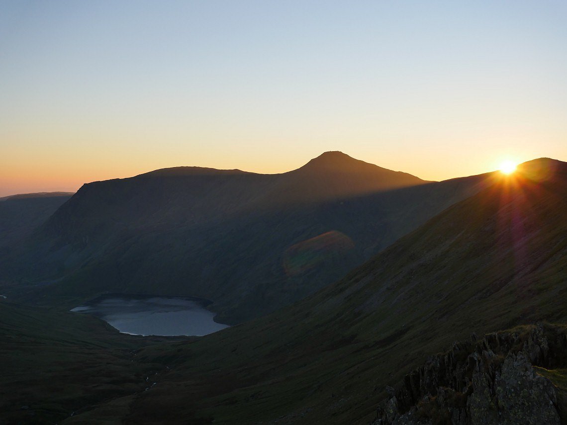
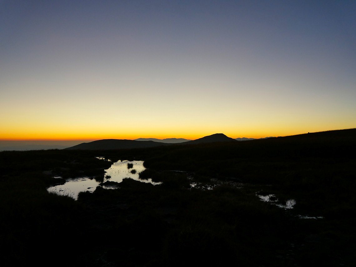
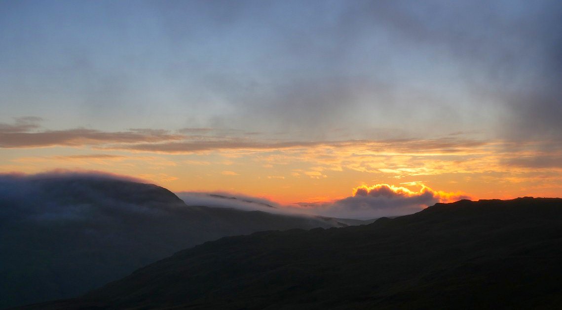
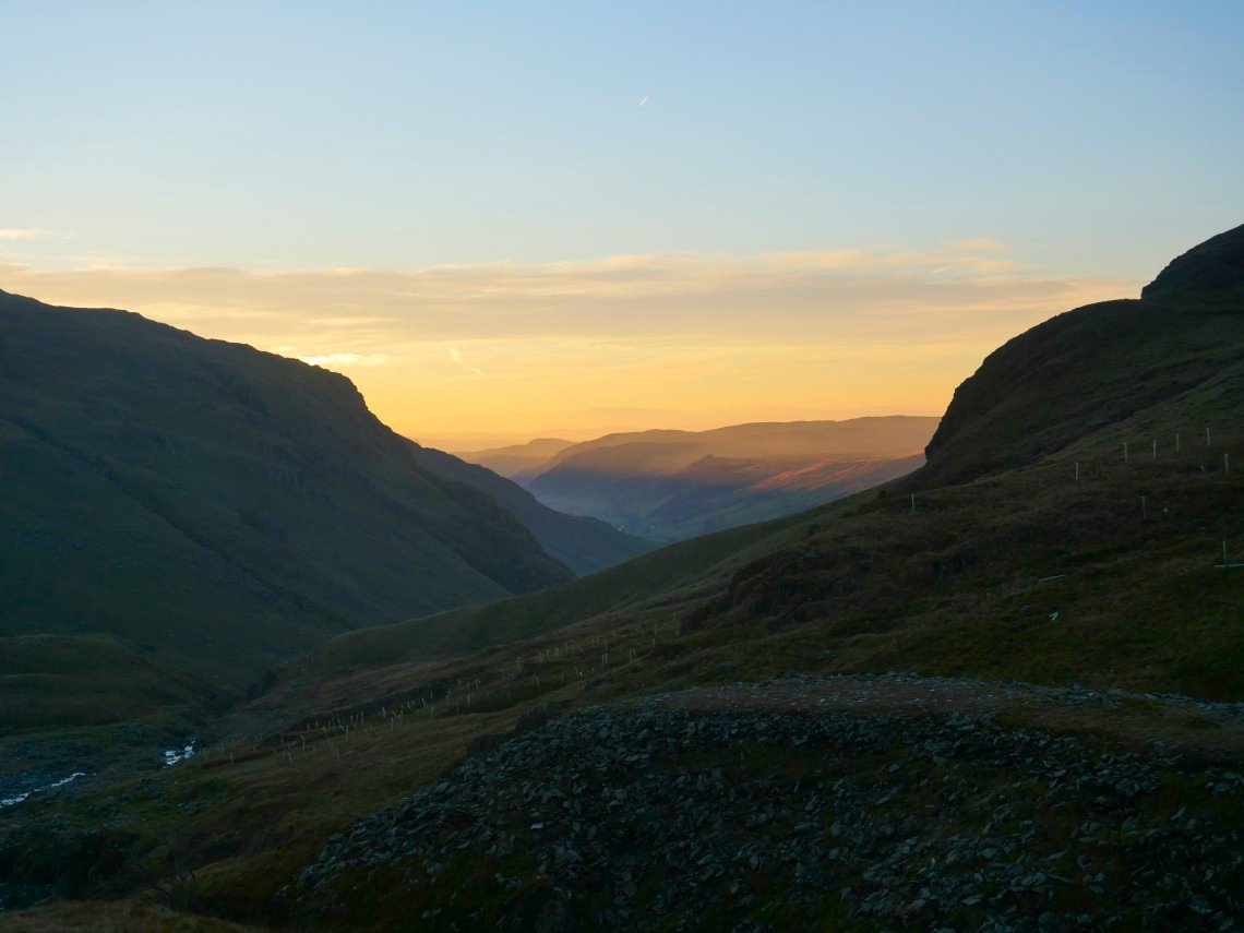
Although of course we still have the afterglow behind Ill Bell and Froswick. I decided that I would take the by pass path below the summit of Harter Fell, mainly because I was knackered but also the wind had got up so I could use the shelter of the wall on Kentmere Pike to camp behind.
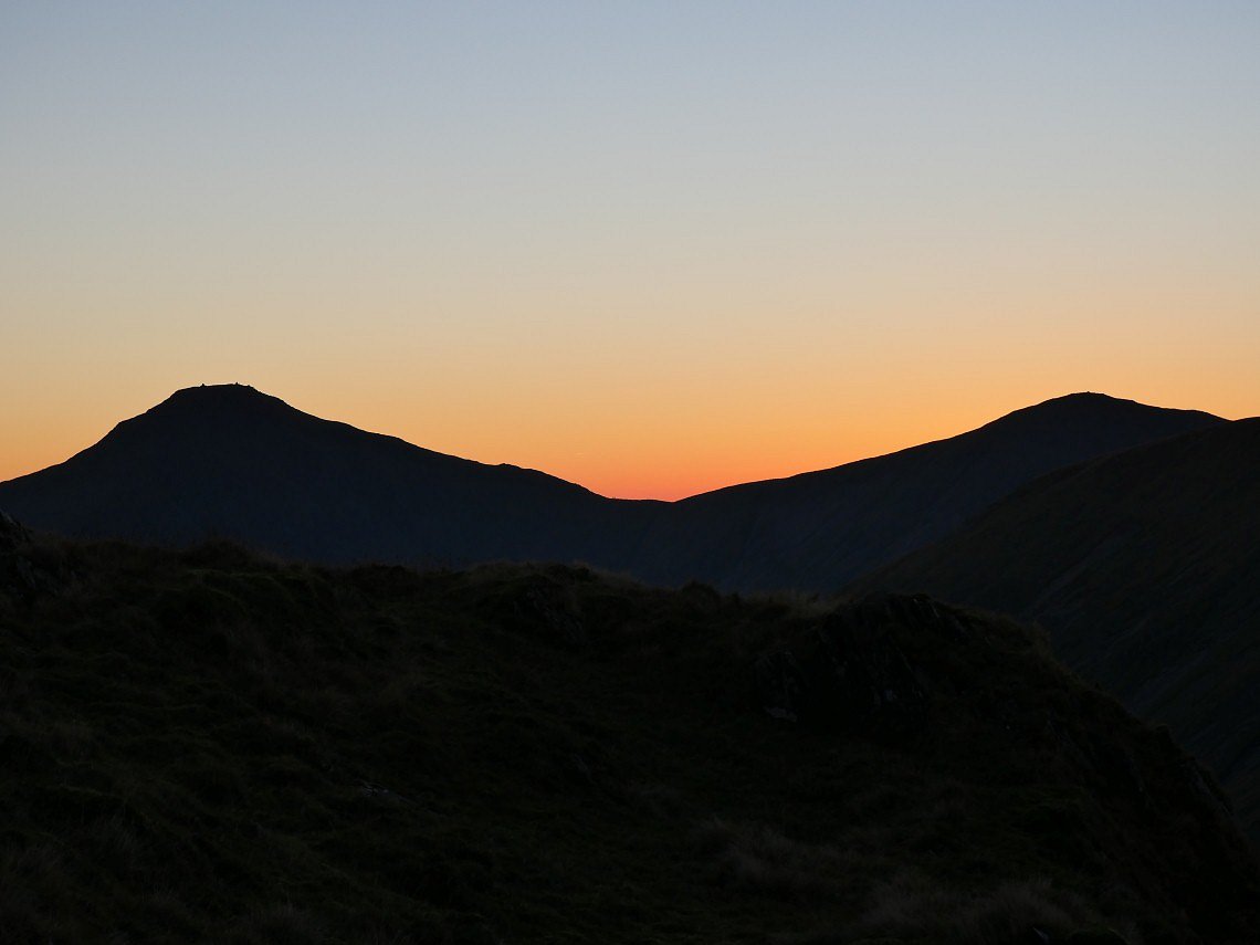
Longer range view of the evening sky.
Kentmere Pike ahead. And I'm cutting it fine for available light to erect my tent.
Last shot before I turn in for the night, although I did get up several times to marvel at the clear skies and stars, especially after the moon had set..
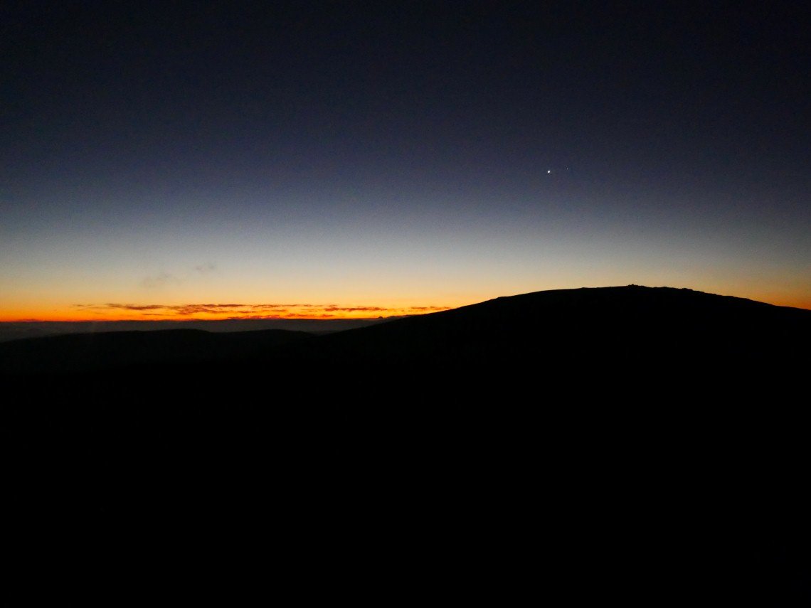
The orange glow comes from the east now. Kentmere Pike with what possibly could be Venus above.
Looks like cloud over the Eden valley.
The air to the west today is crystal clear.
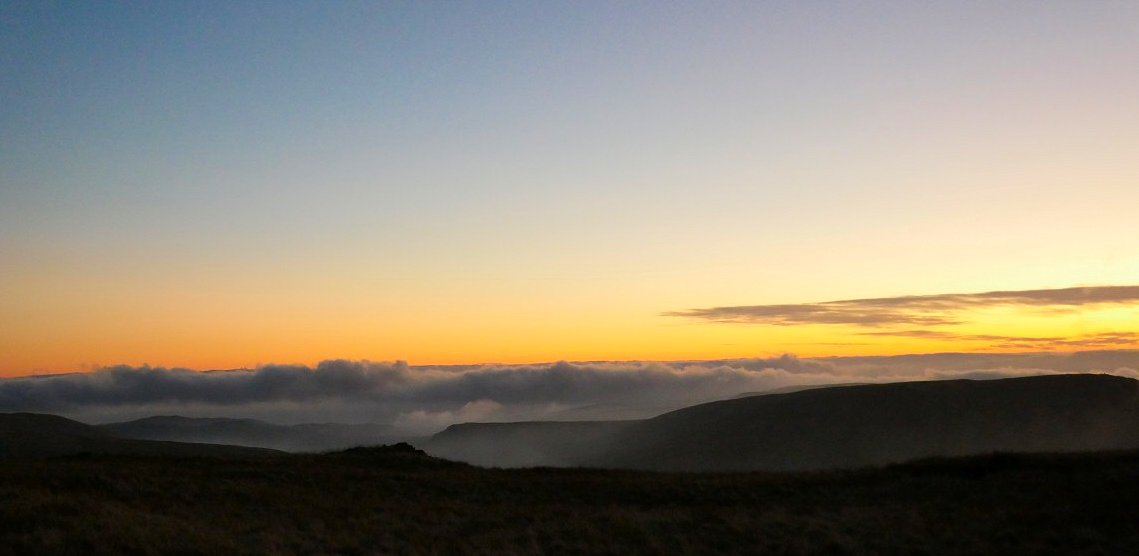
A couple of pictures of the sunrise. A large bank of cloud passed from the north below me and I've seen some brilliant pictures of Brocken Spectres from campers on Harter Fell.
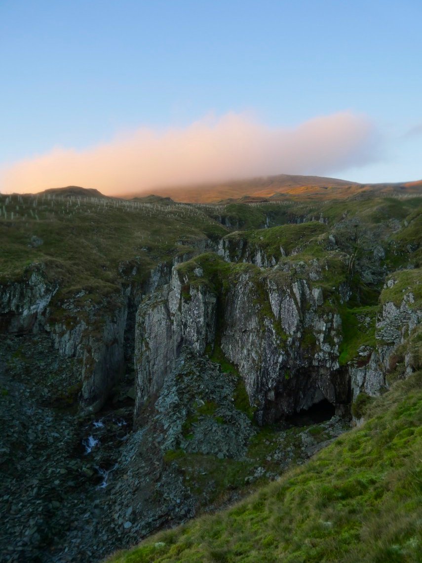
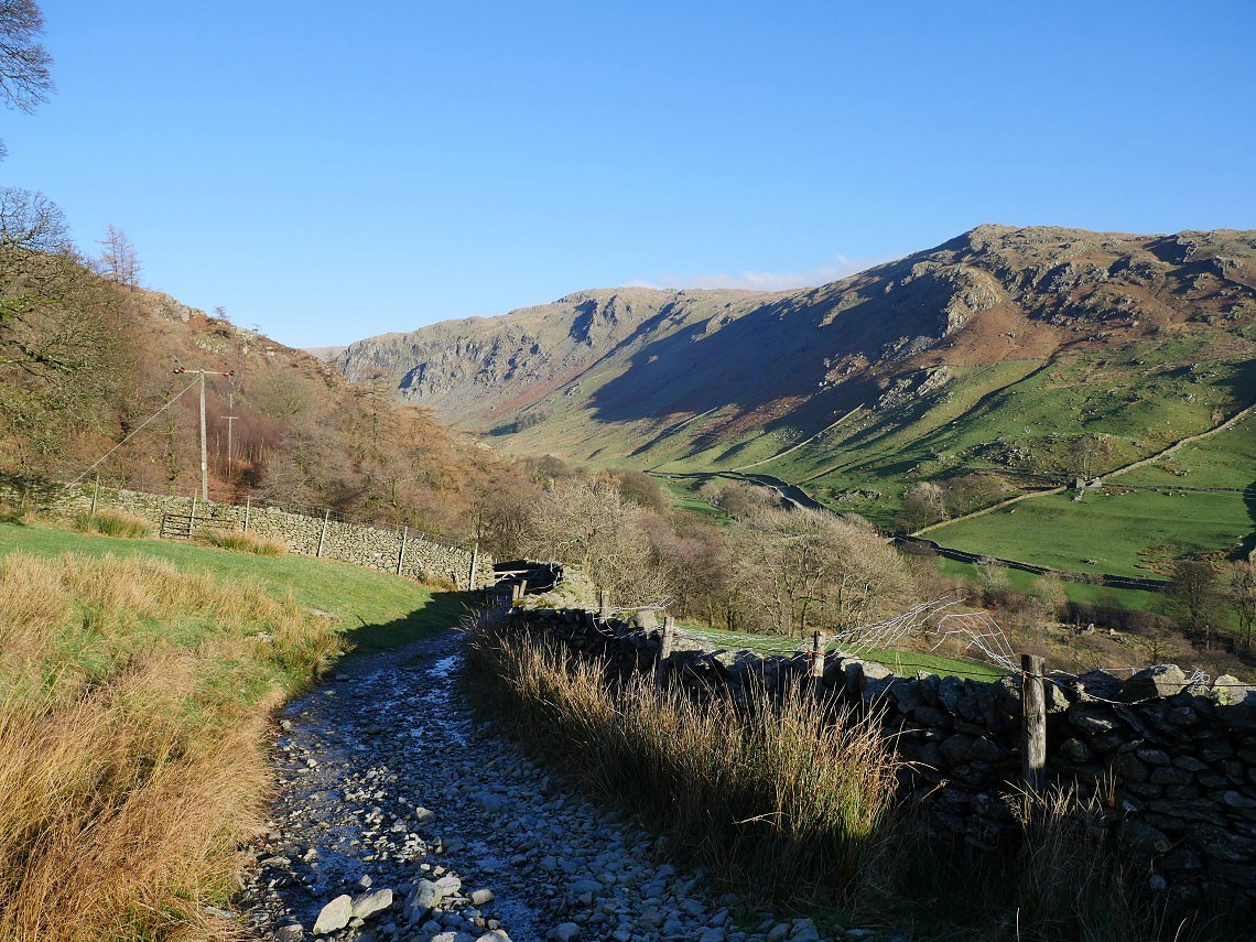
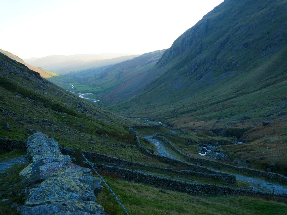
There looks to be cloud now on Kentmere Pike but I have left heading down through Wrengill Quarry
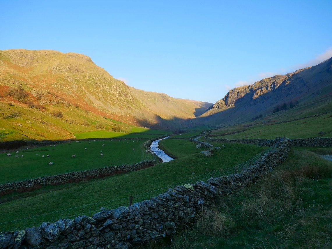
Looking down Longsleddale from the lower reaches of the quarry.
Goat Scar catches the morning sun.
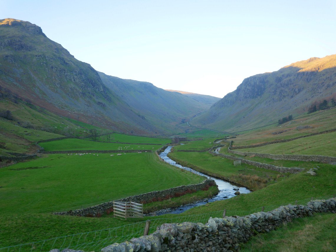
Another look along Longsleddale.The River Sprint shining in the morning light.
I reach Sadgill in plenty of time and there is a very cold breeze blowing so I huddle down behind a wall to wait for Sue (and Lynn ).
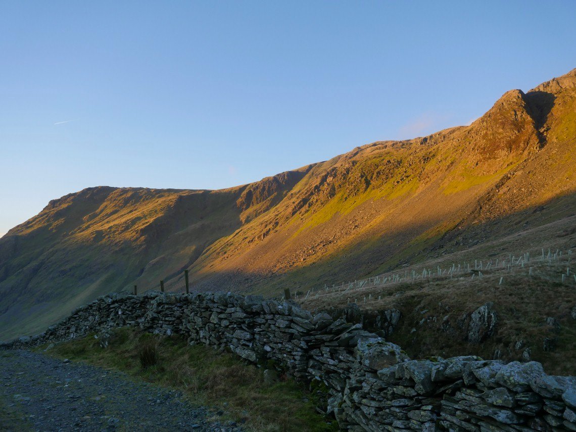
A lot warmer now as we make the climb away from Sadgill.
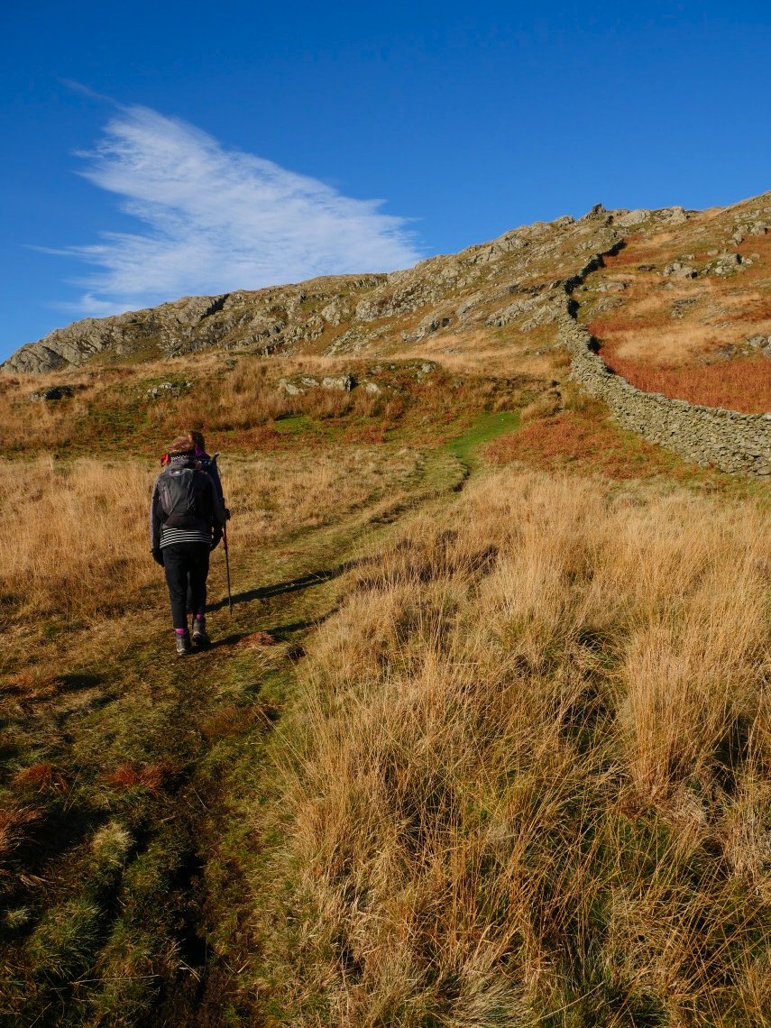
At the top of the pass we turn right and start the steep climb over Wray Crag.
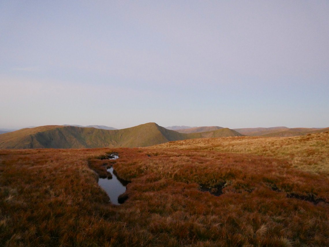
Yesterdays route of ascent comes into view.
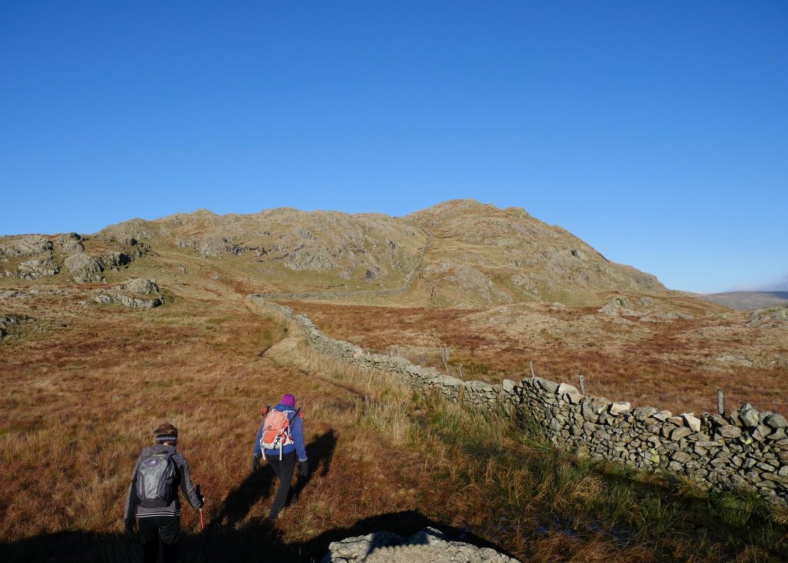
Once over Wray Crag just keep following the wall to Shipman Knotts.
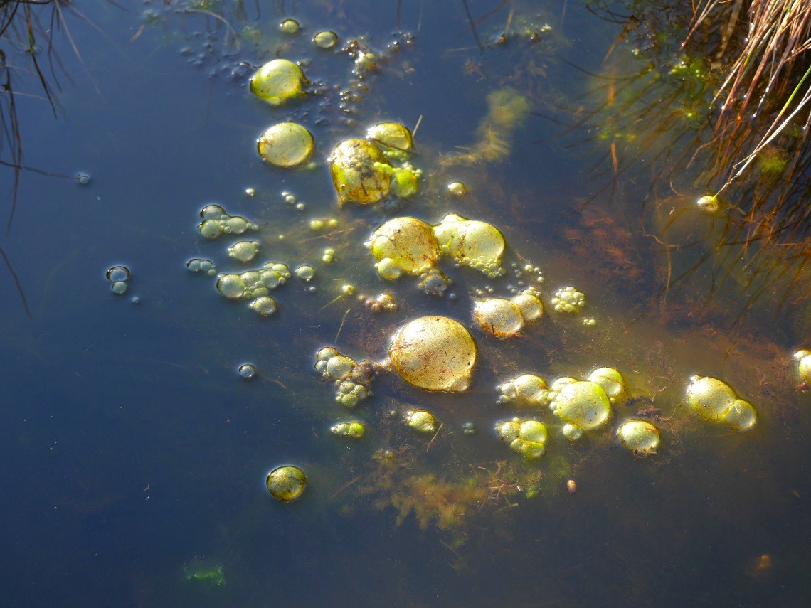
Bubbles seen in a pond. According to Google they are "filamentous algae that forms mats upon the water's surface. These algae usually form on the bottom or sides of a pond and become buoyant and float to the water surface because of the oxygen bubbles it has produced"
>
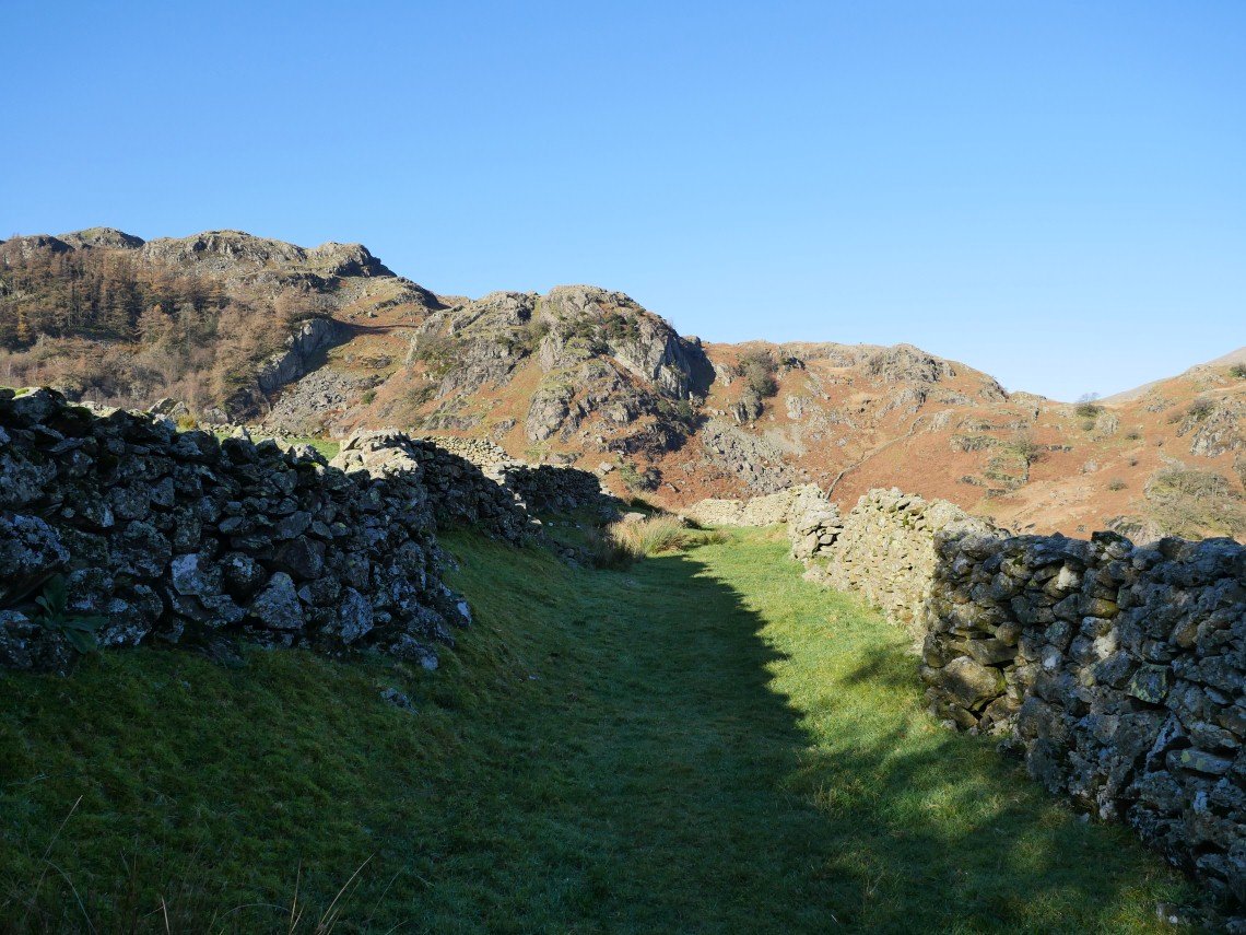
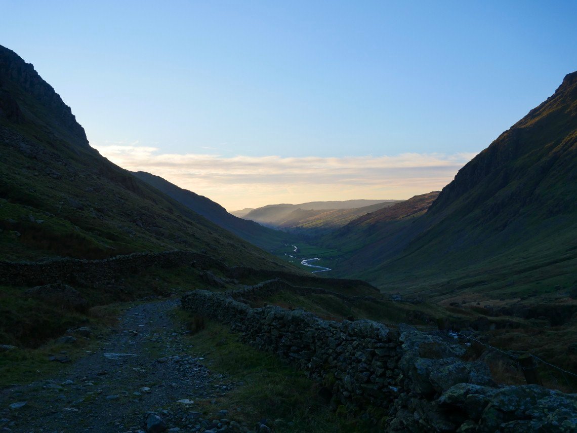
Following the wall through the gully just below Shipman Knotts..
Another look at yesterdays challenge.
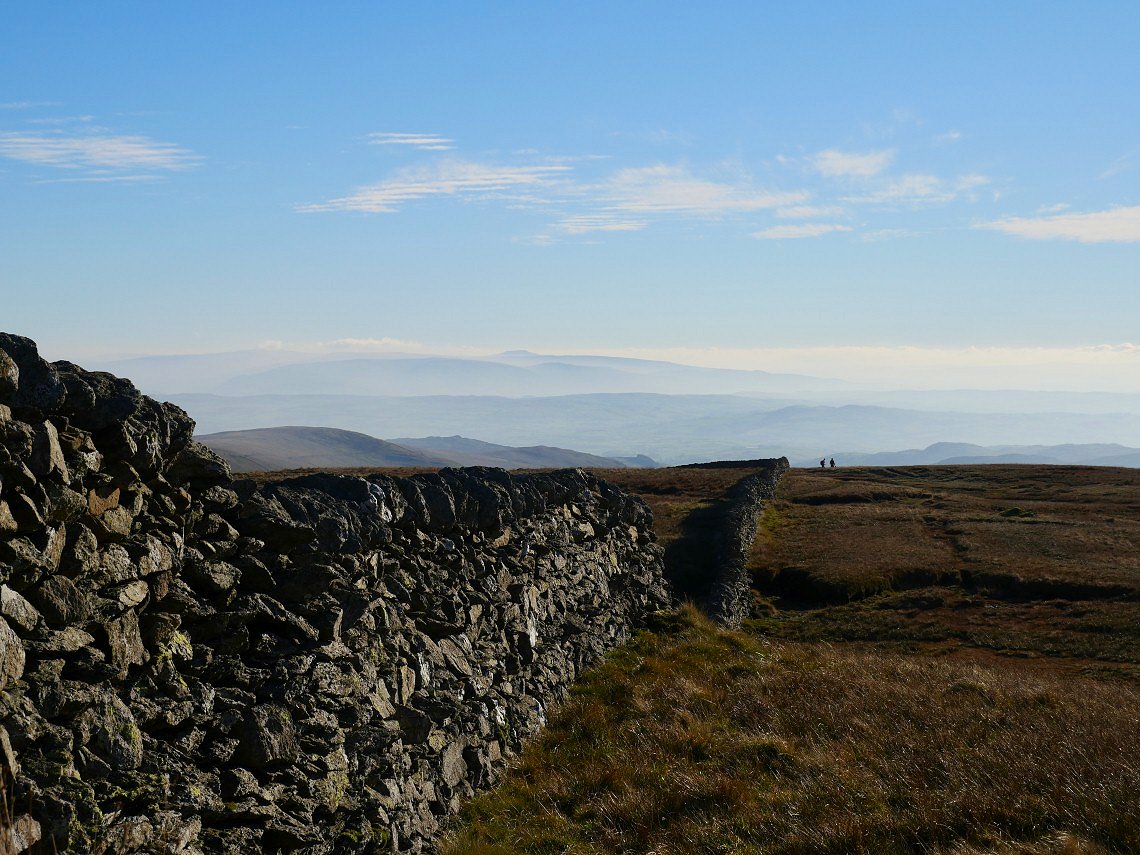
The air to the south is still hazy but Ingleborough can be clearly seen.
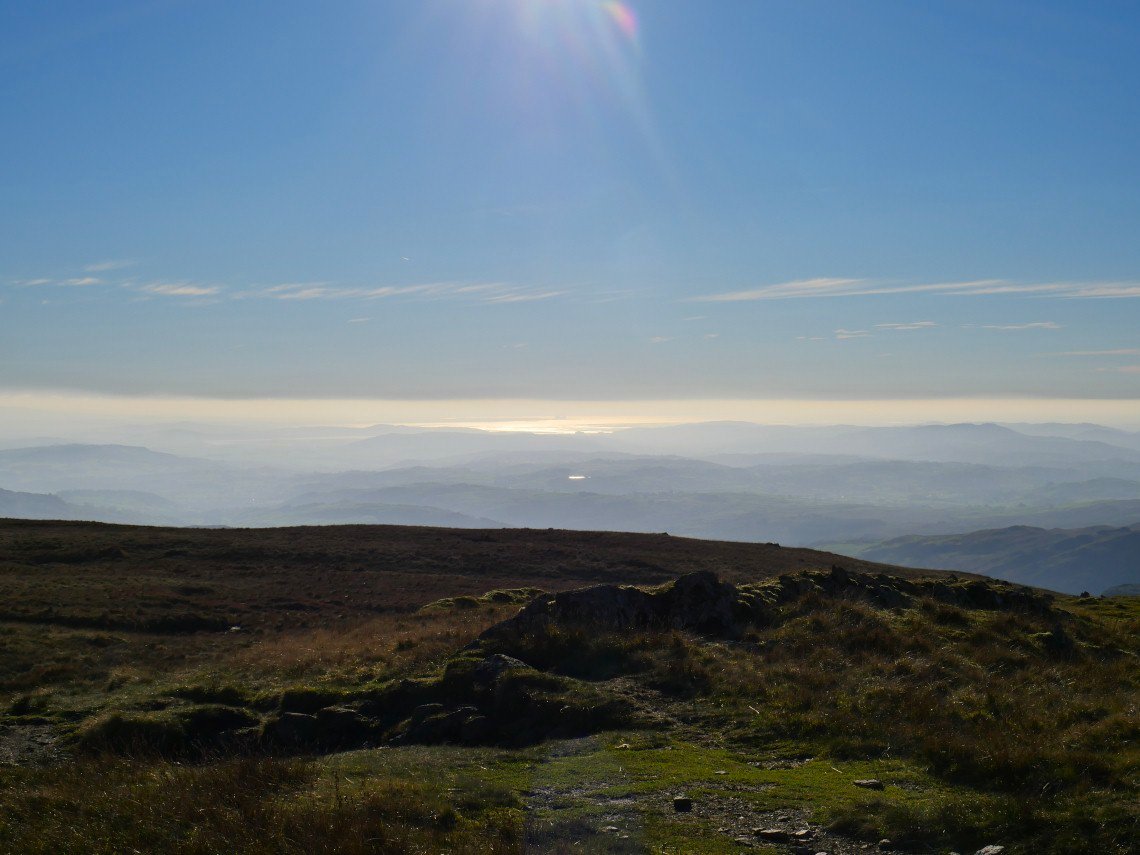
As can Morcambe Bay The tarn shining in the sun is Skeggles Water.
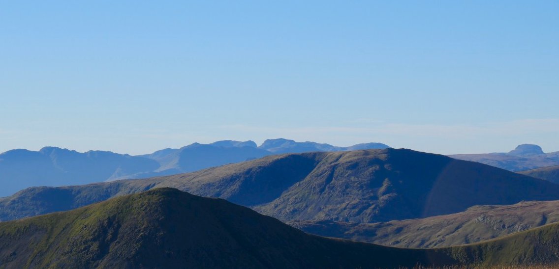
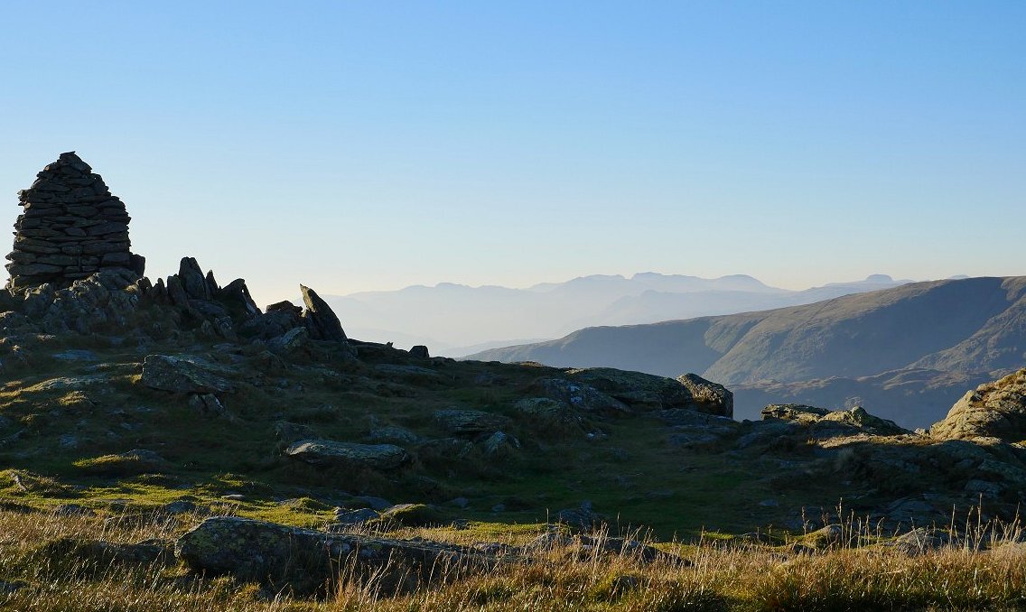
The air to the west is still very sharp though and the Scafell Pikes are really clear as is Great Gable on the far right.
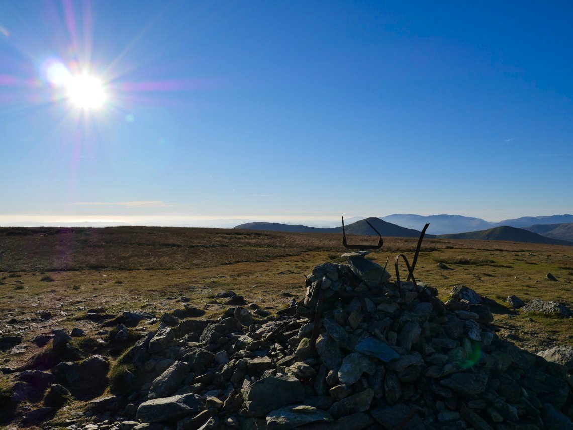
The cairn on Harter Fell has regained it's crown.
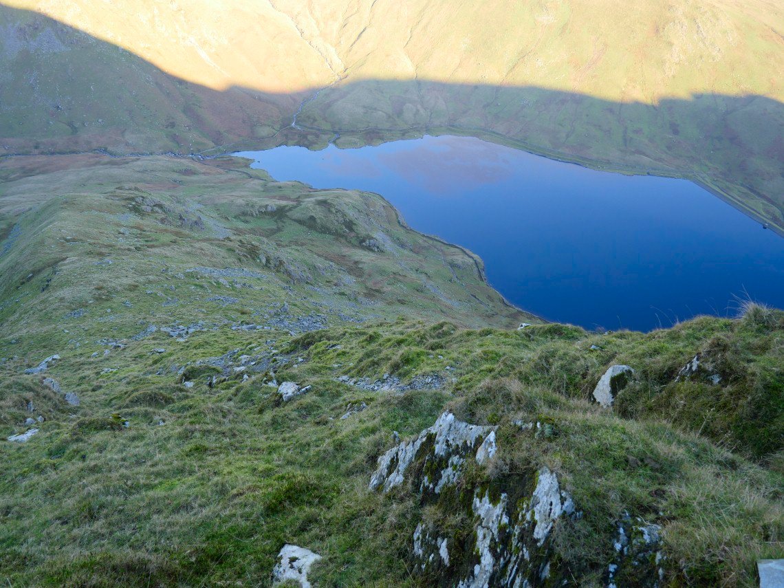
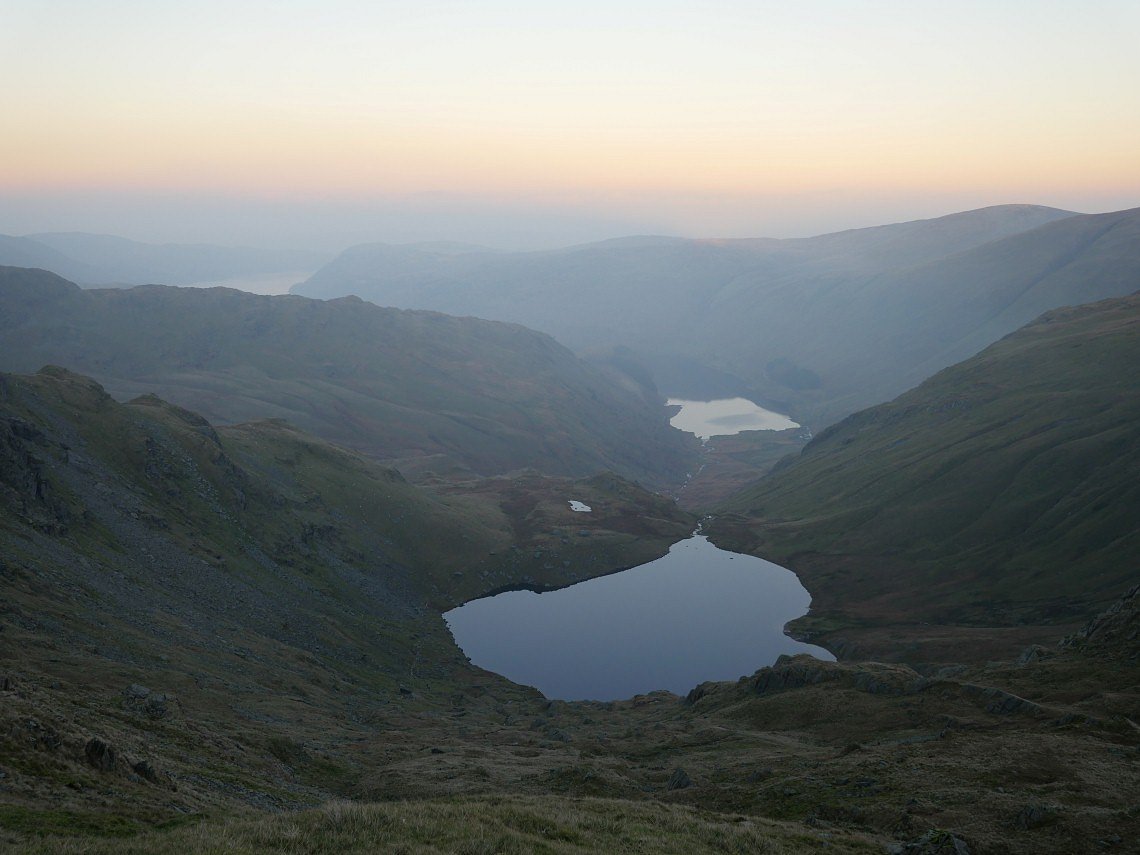
Haweswater from the descent.
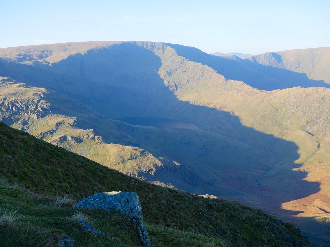
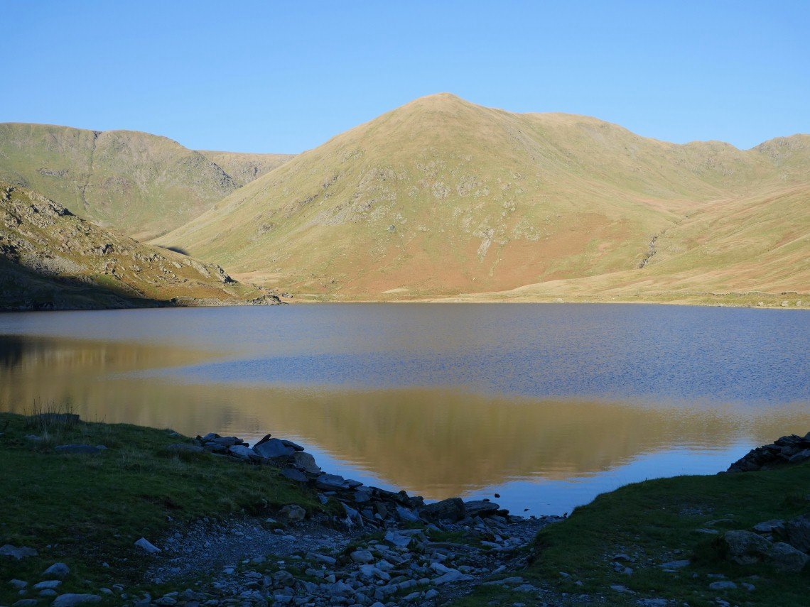
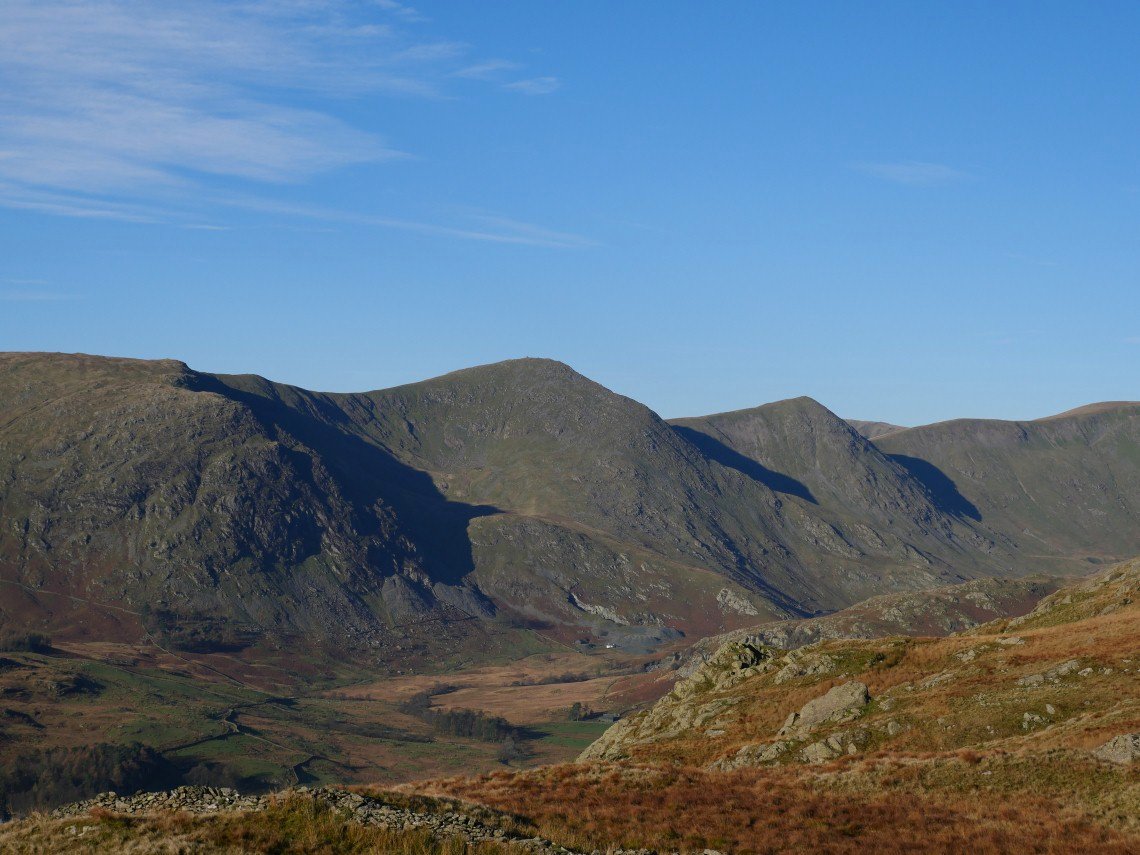
The Rough Crag ridge leading up to High Street with Blea Water below.
My second lap of Longsleddale
And finally a last look back at the end of a quite fabulous weekend.