PICTURES AND TRIP REPORTS FROM MY WALKS IN THE ENGLISH LAKE DISTRICT
|
|
|
|
|
|
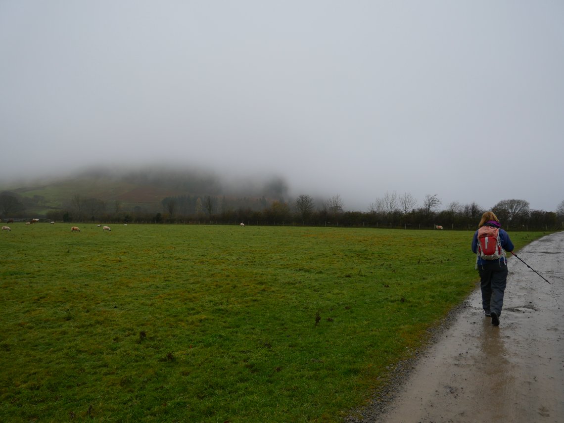
Two reports in one today showing completely contrasting conditions. On the 24th Sue and I travelled up to Loweswater hoping that the weather prediction for clearer skies in the north west of the Lakes would be correct, unfortunately as we descended down from the Whinlatter pass we could see that the cloud base was very low so it looked like we would not have any views.
Never mind off we go hoping that the mist might lift.
Even Loweswater has been swallowed by the grey.
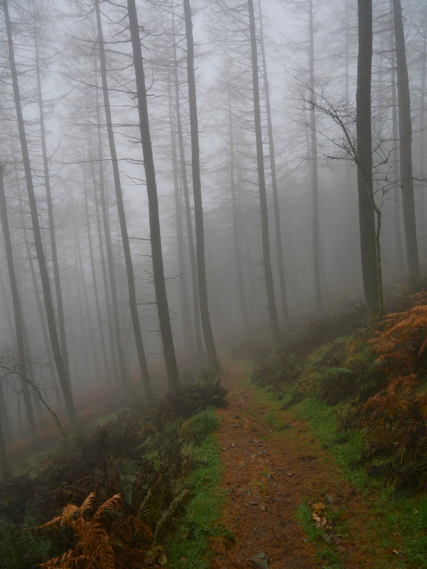
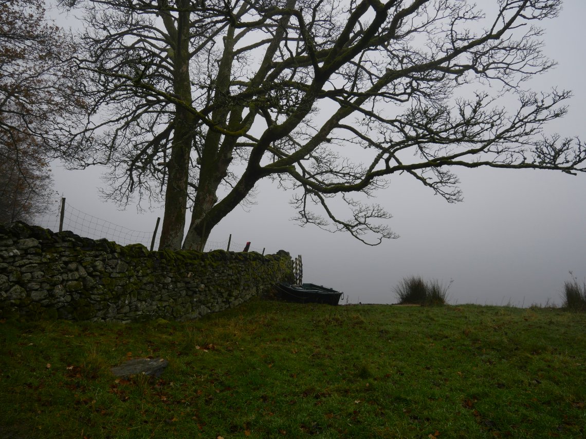
Passing through Holme Wood.
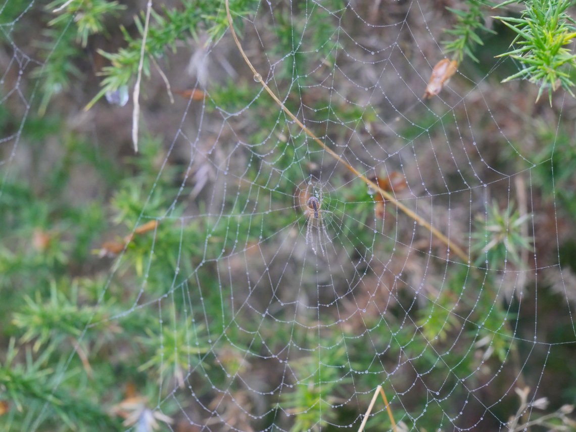
When there are no views to be had it's time to look at things nearer to hand and the gorse bushes by the path seemed to have a spiders web on every branch.
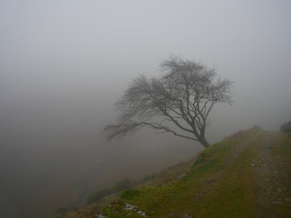
The lovely balcony path which passes below Burnbank Fell normally has lovely views over the valley.
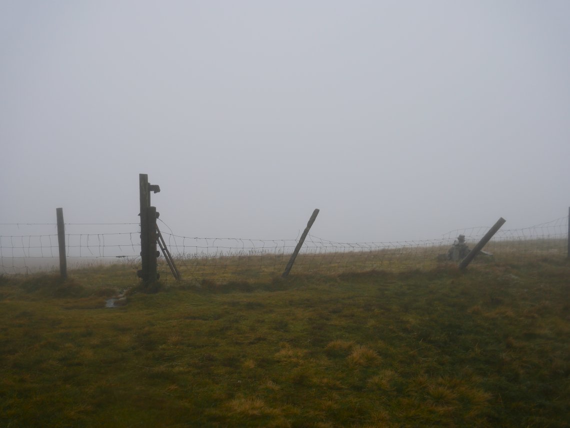
After quite a stiff climb up by the fence we reach Burnbank Fell.
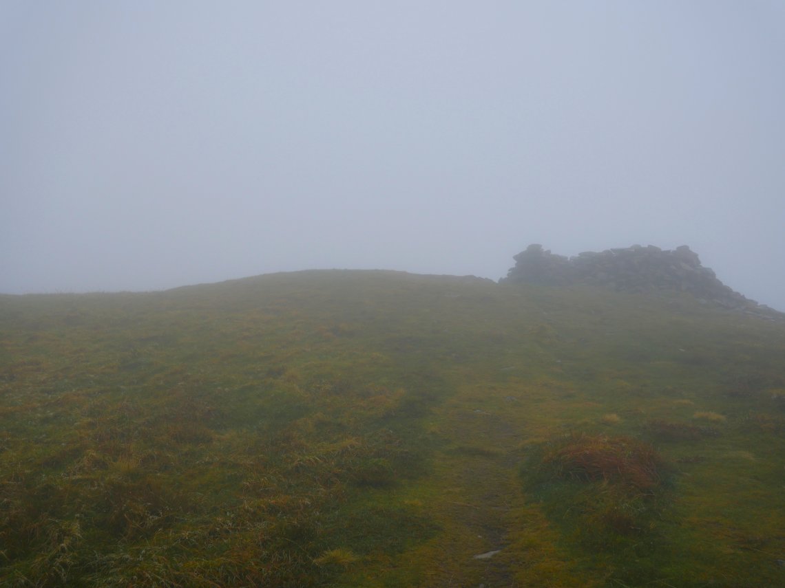
And then the walking is comparatively easy over Blake Fell.
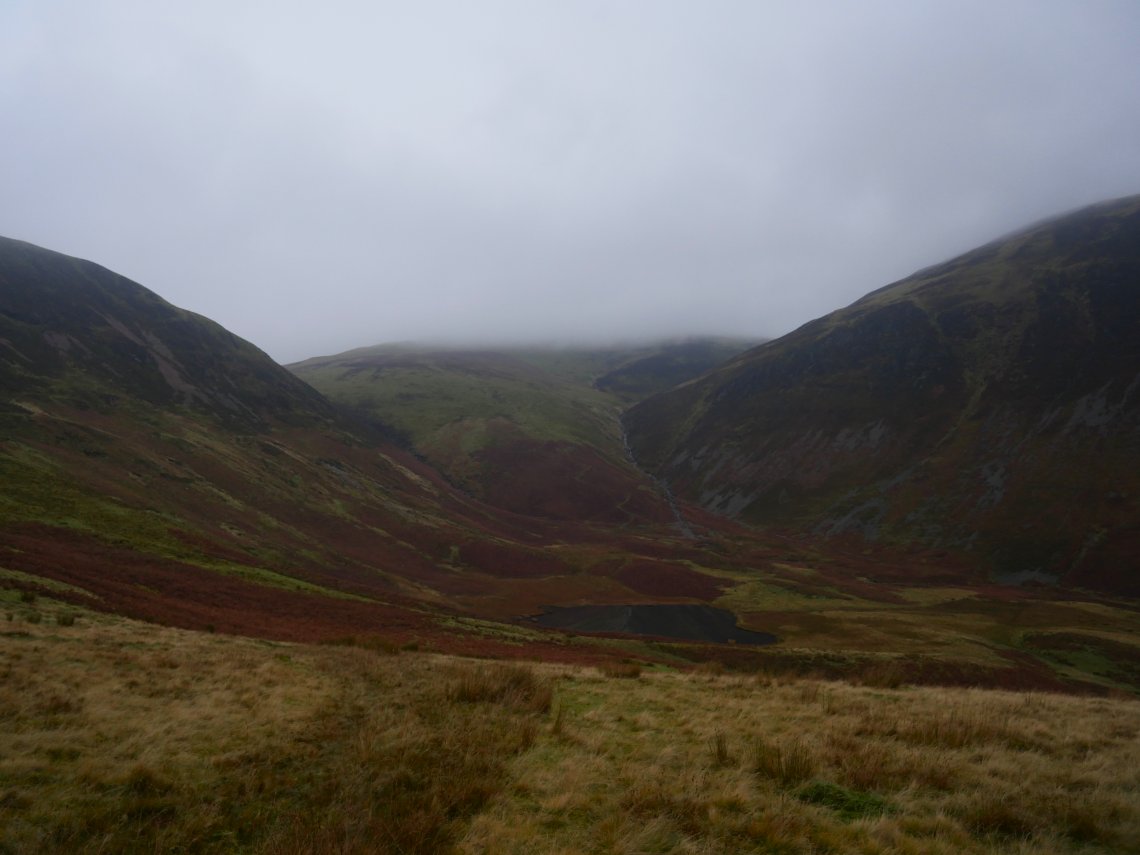
And Gavel Fell ( from which I forgot to take a photo of the top ). Hen Comb appears as we round the corner and start the journey back to Maggie's Bridge.
.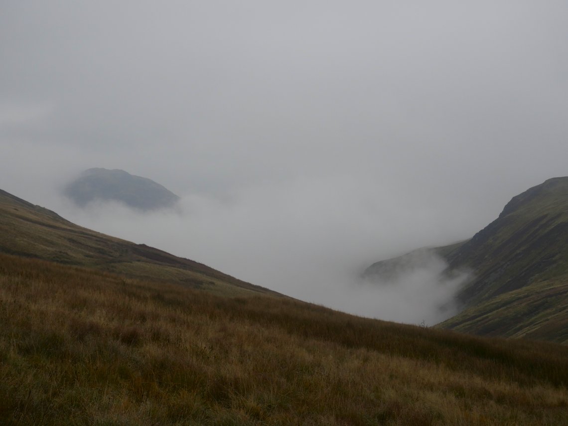
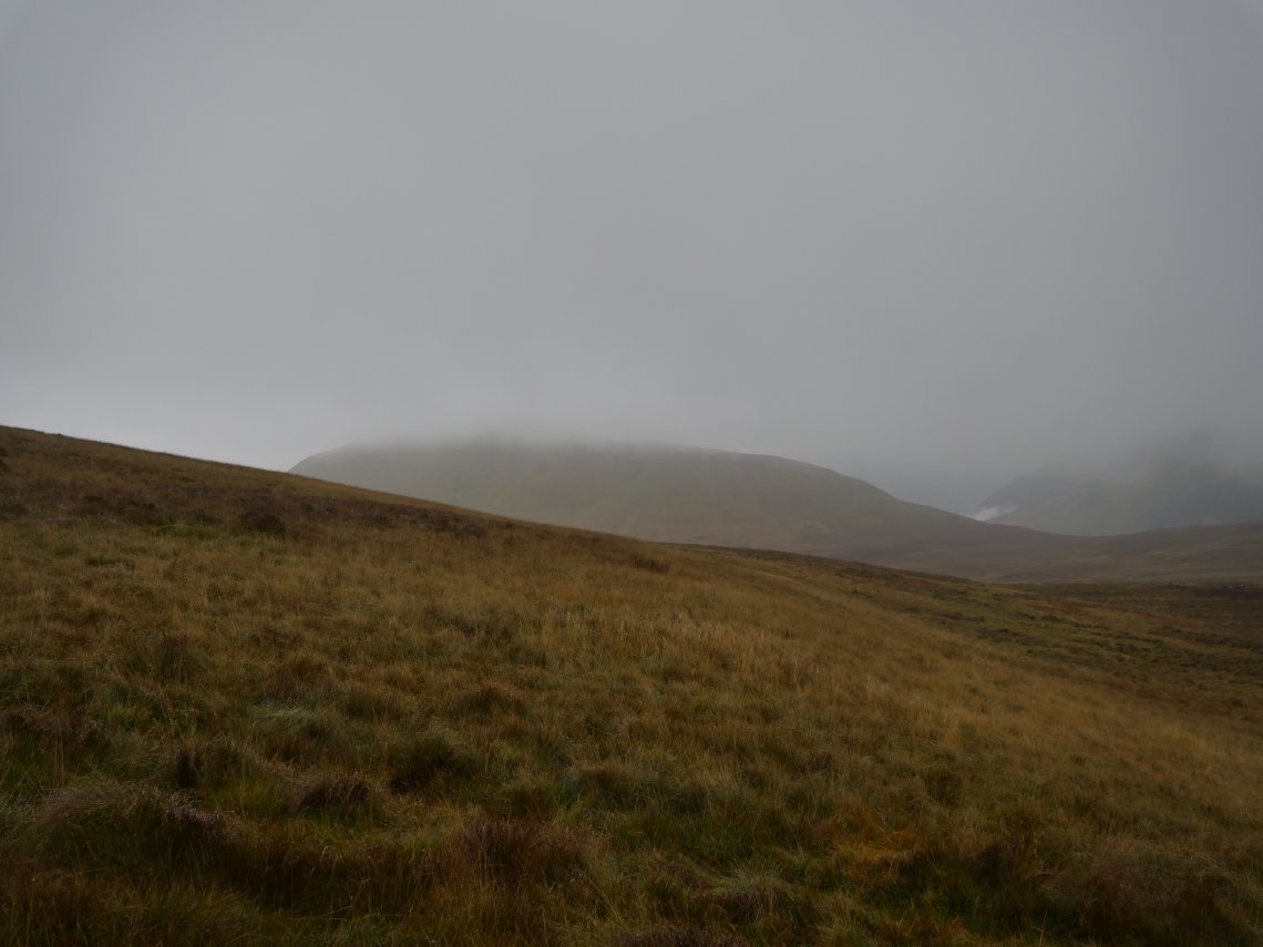
Low Fell looms out of the cloud.
I've never walked this path before but I should imagine the views on a clear day would be excellent.
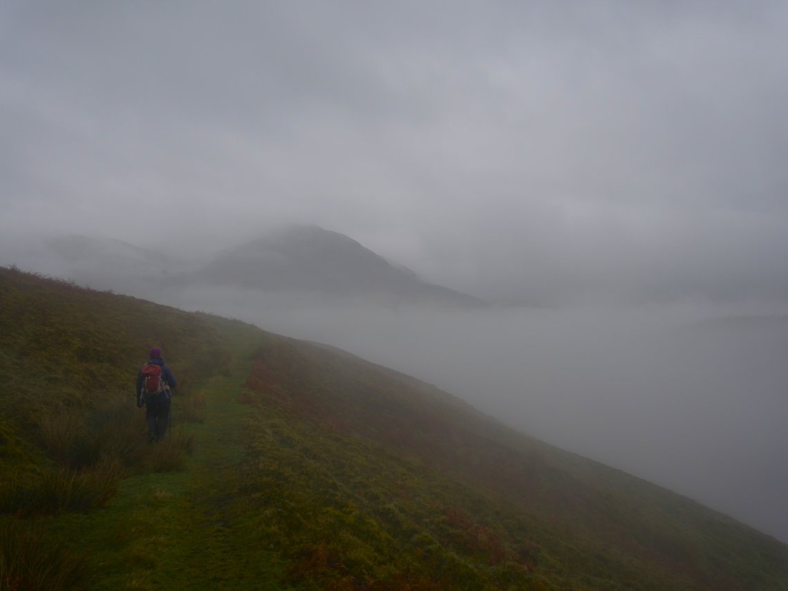
Passing above High nook Tarn. So the cloud didn't lift after all but if you walk in the Lake District in November ( especially when you can only walk on Sunday) chances are you will have days like these.
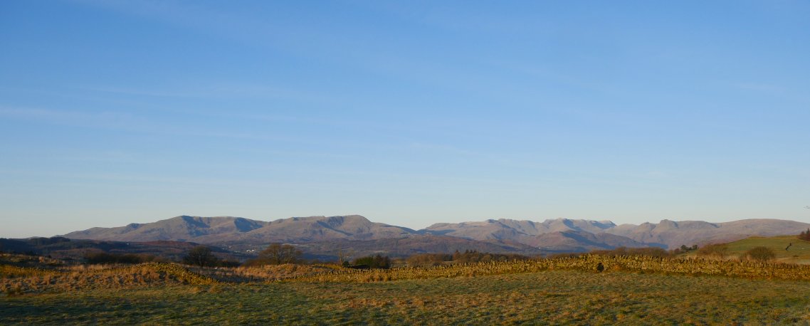
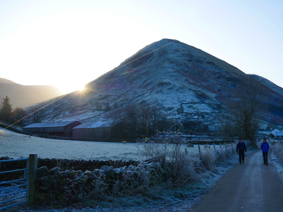
December however started very promisingly. Sue was on baby sitting duties so it was David, Robert and I who headed over the Kirkstone Pass, stopping on the Borrans Road short cut to admire the full sweep of fells from Coniston on the left to the Langdale's on the right.
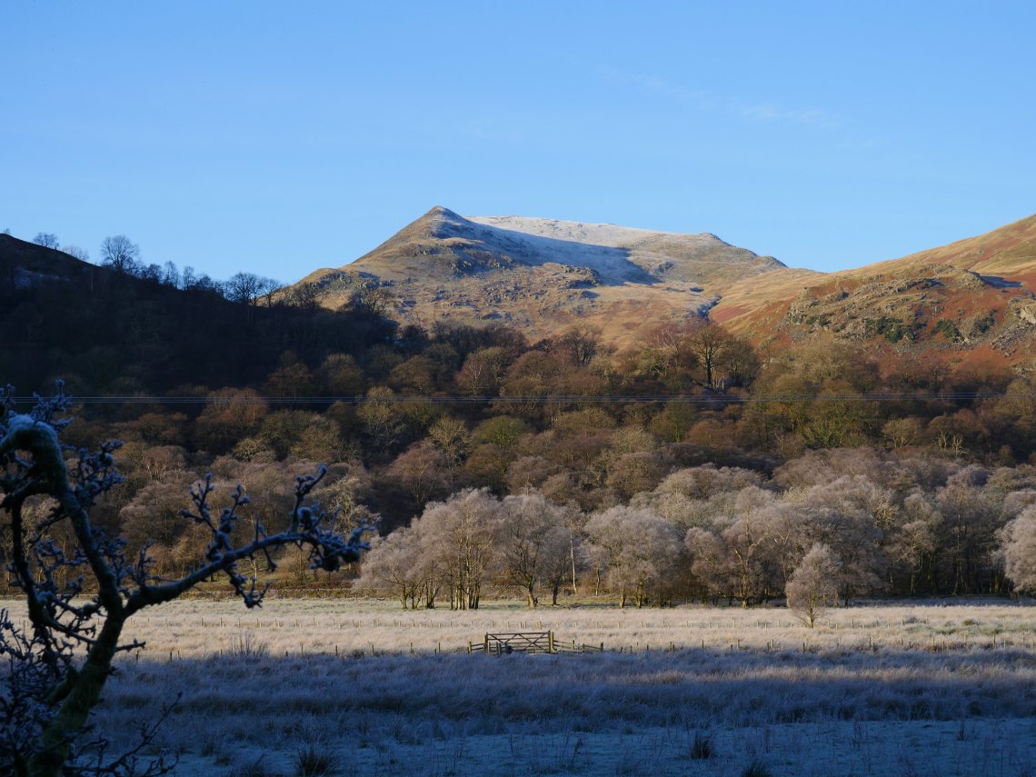
Robert had been disappointed when we had no views on walk around Angle tarn a few weeks ago so that's the way we headed but by a slightly more exciting route.The sun peeps around Hartsop Dodd as we make our way to Angletarn Beck..
Looking across the valley to Gavel Pike on St.Sunday Crag.
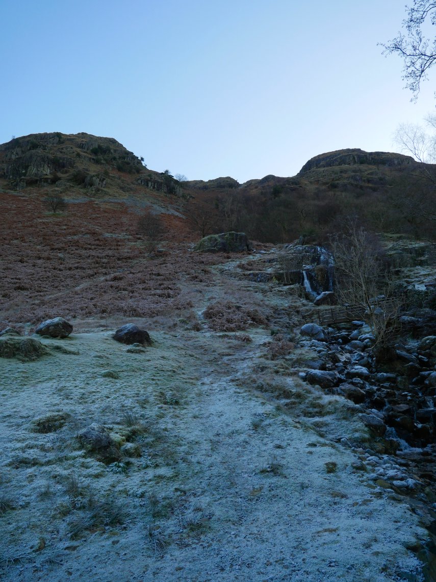
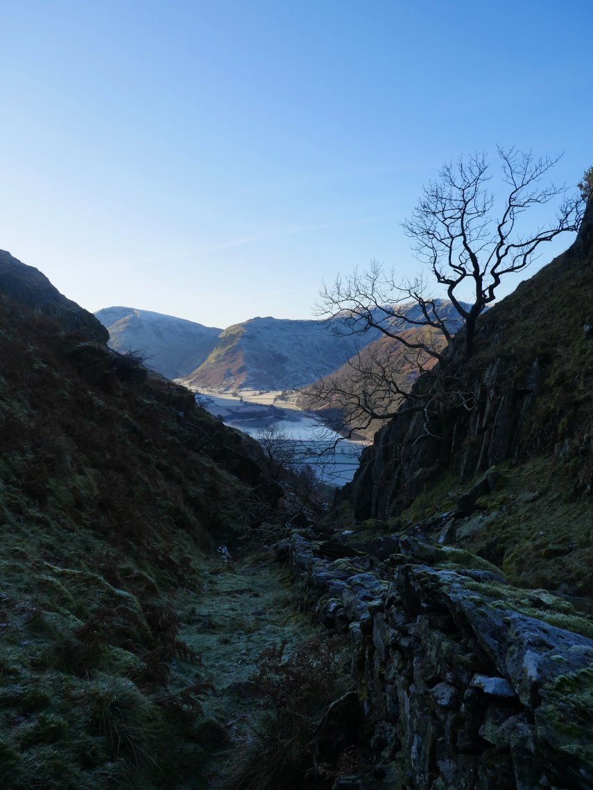
We climbed up by Angletarn Beck which is a route I have used a few times before and although care is needed in parts even in frozen conditions the climb is quite do-able.
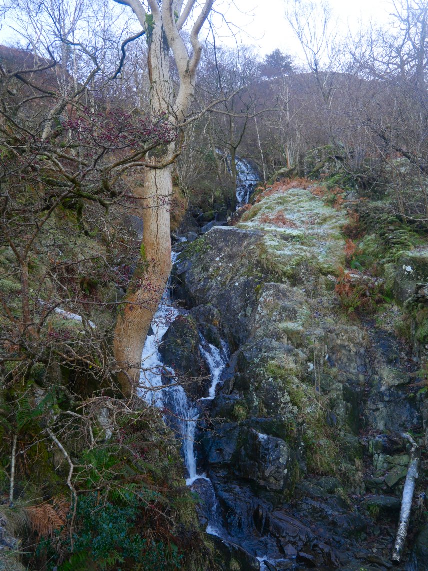
Lots of Waterfalls in the lower section of the beck.
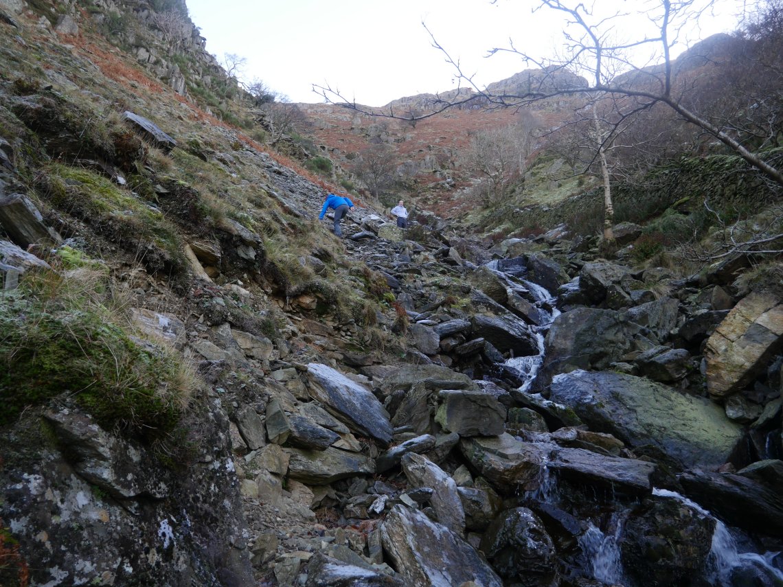
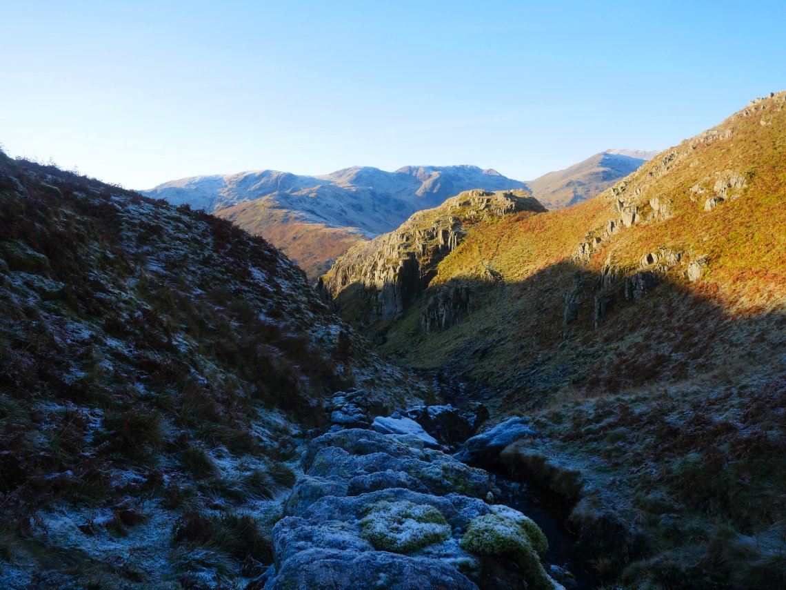
After a steep section by the waterfall the valley opens out to this rocky section which turned out to be the most tricky as the rocks were very slippery.
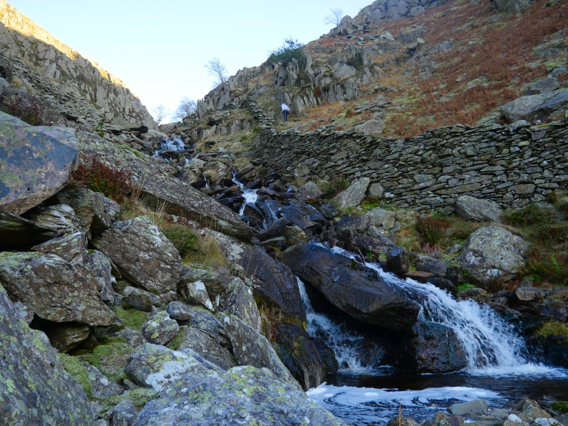
The boys crossed a bit lower than where I usually cross but if you can get across the stream the going by the wall is a bit easier.
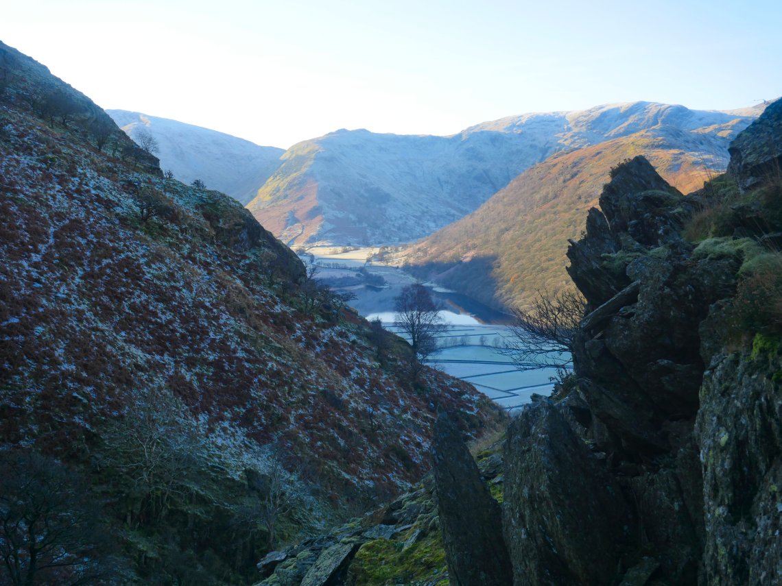
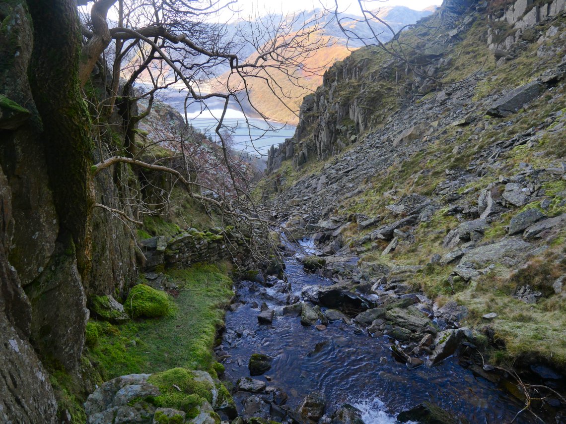
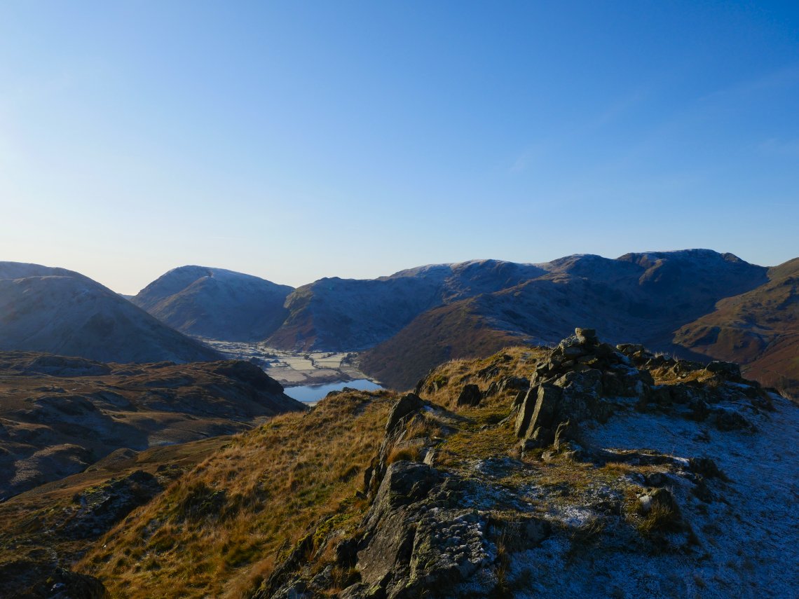
I carried on following the thin trod through the scree. Brothers Water and High Hartsop Dodd come into view.
I crossed here which you have to do as the crag hangs over the beck blocking your way.
The climb becomes a simple walk on the grass by the wall.
The view expands all the time as you climb and soon Hartsop-Above-How appears leading up to Hart Crag with Dove Crag above to the left and Fairfield, Cofa Pike and Dollywagon Pike on the right.
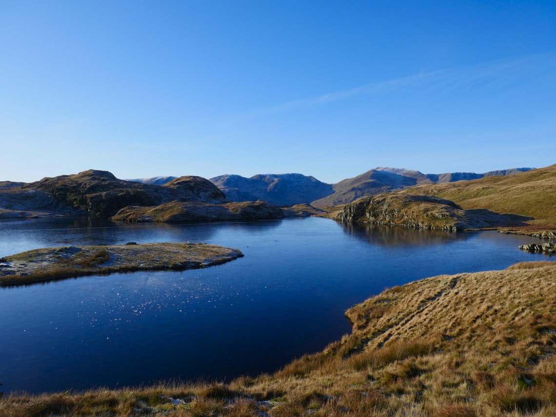
Into the sun and Angle Tarn.
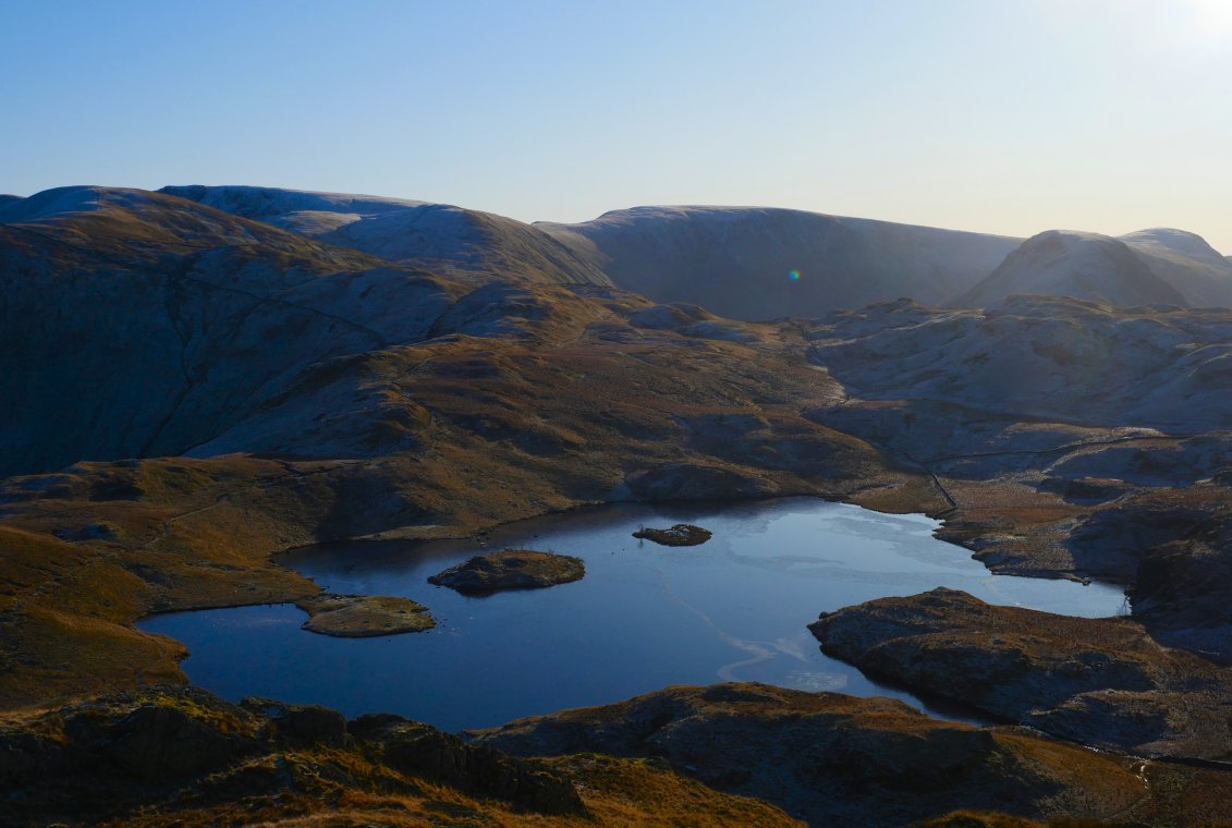
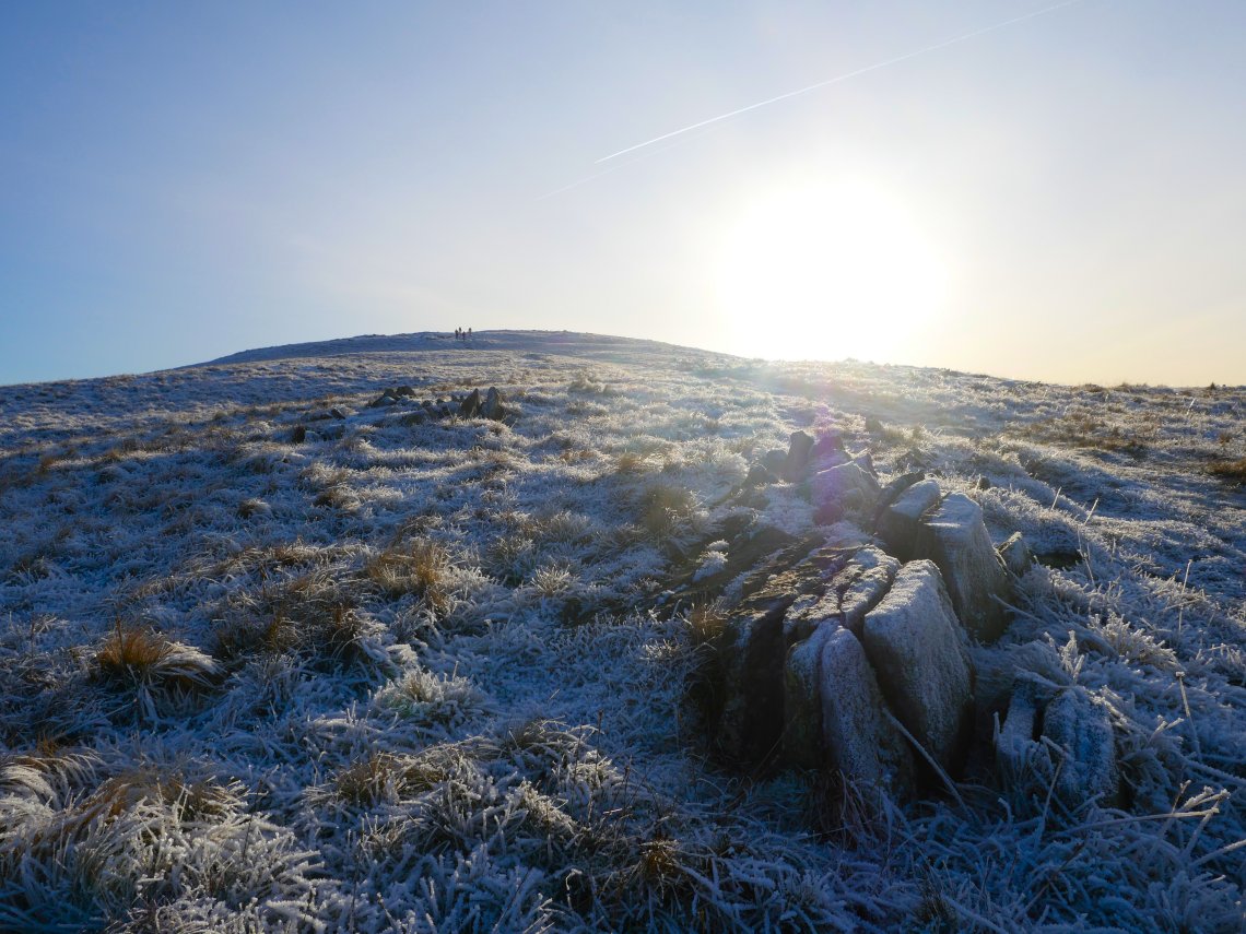
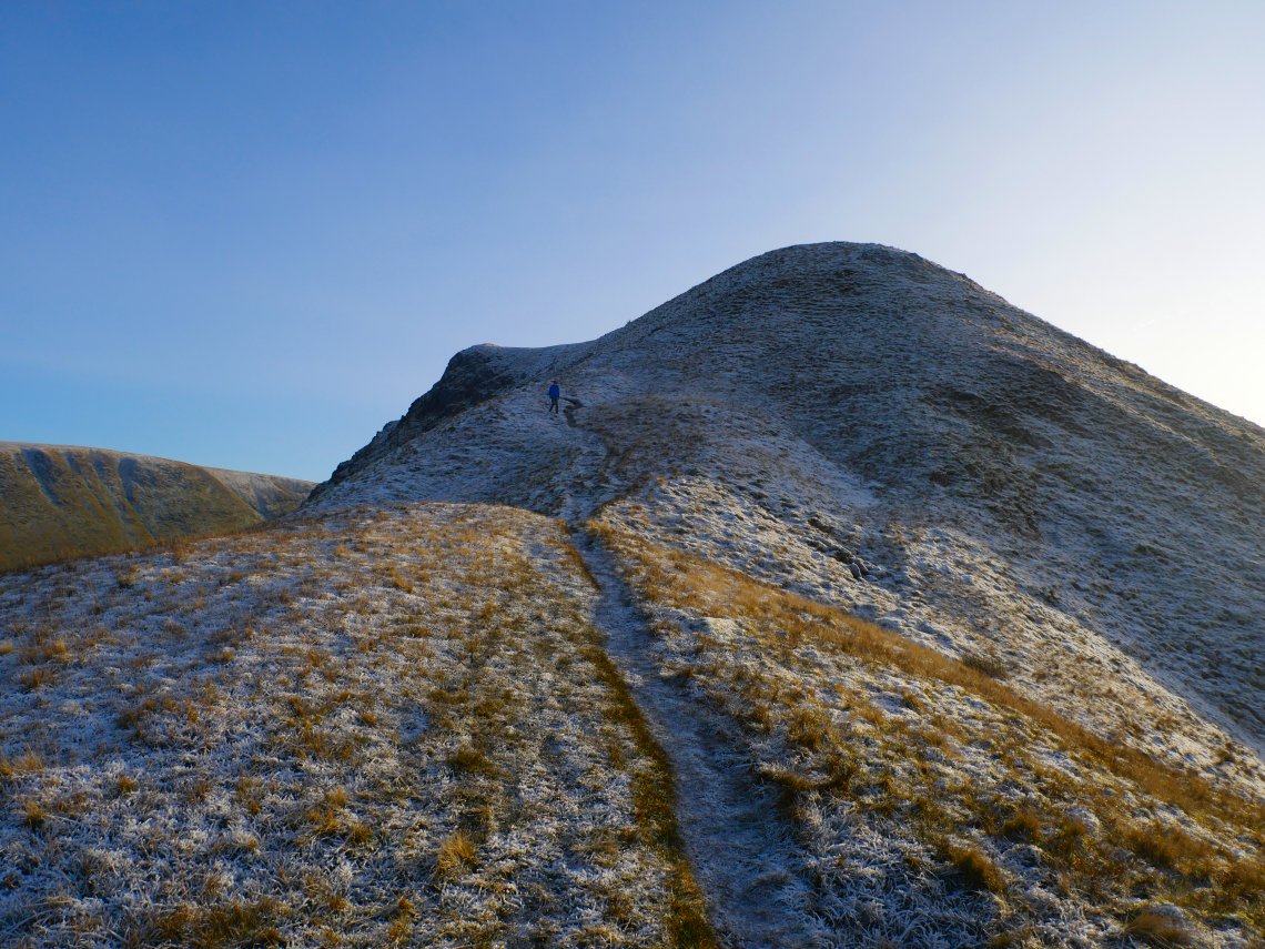
We decided to climb the south top of Angletarn Pikes from where there is a great view of Angle Tarn.
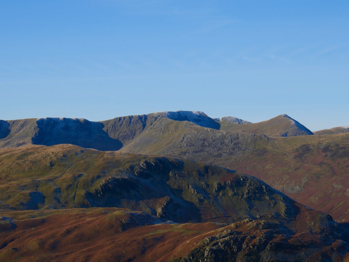
And a crystal clear view of Helvellyn and Catstyecam.
Red Screes in the background to the left with Middle Dodd, High Hartsop Dodd ( with Little Hart Crag perched on top ) and Hartsop-Above-How in a line below the eastern arm of the Fairfield Horseshoe.
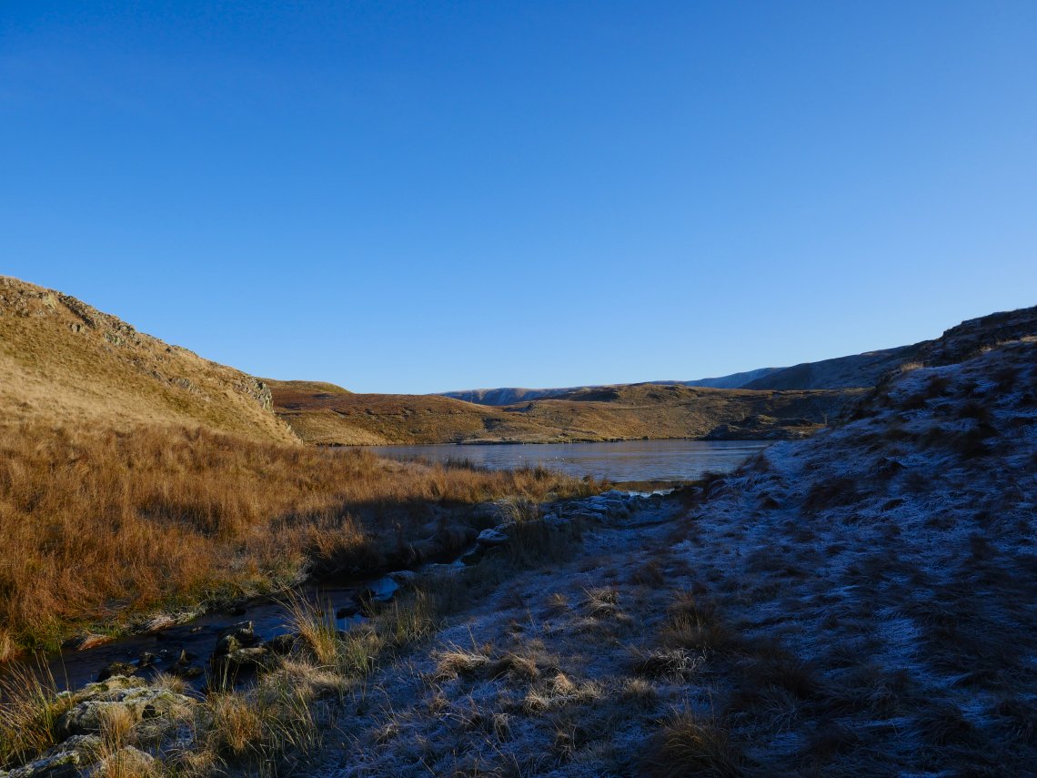
We followed the path by the tarn which was frozen in places.
Looking to the Nab with the Wether Hill ridge beyond..
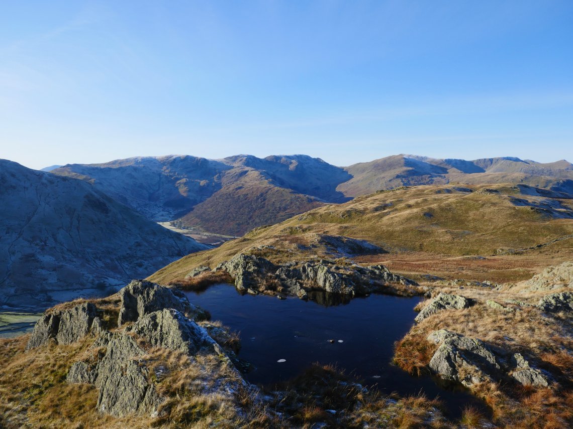
One of the lovely little pools on Satura Crag.
Rest Dodd and the Nab from the climb around the base of The Knott..
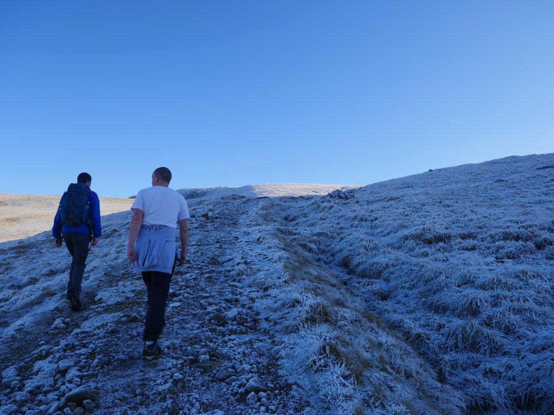
As there was no wind today the climbing was quite warm especially for Robert who works outside all day. Here he is down to his tee shirt and wishing he'd worn his shorts. He did get a few funny looks and shakes of the head from folk coming the other way dressed in full winter gear.
.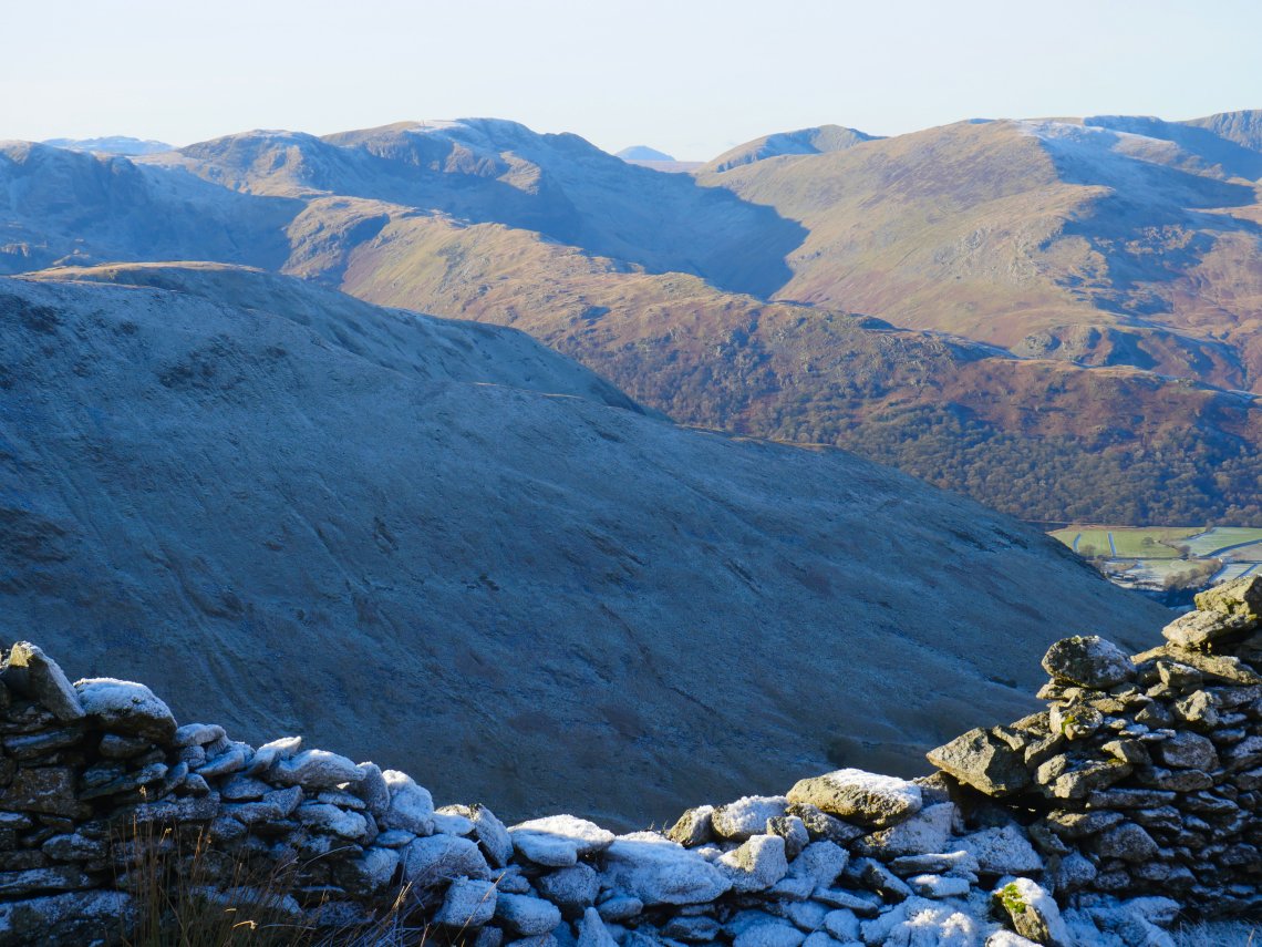
Pillar peeping up at the back between Cofa Pike and Dollywagon Pike.
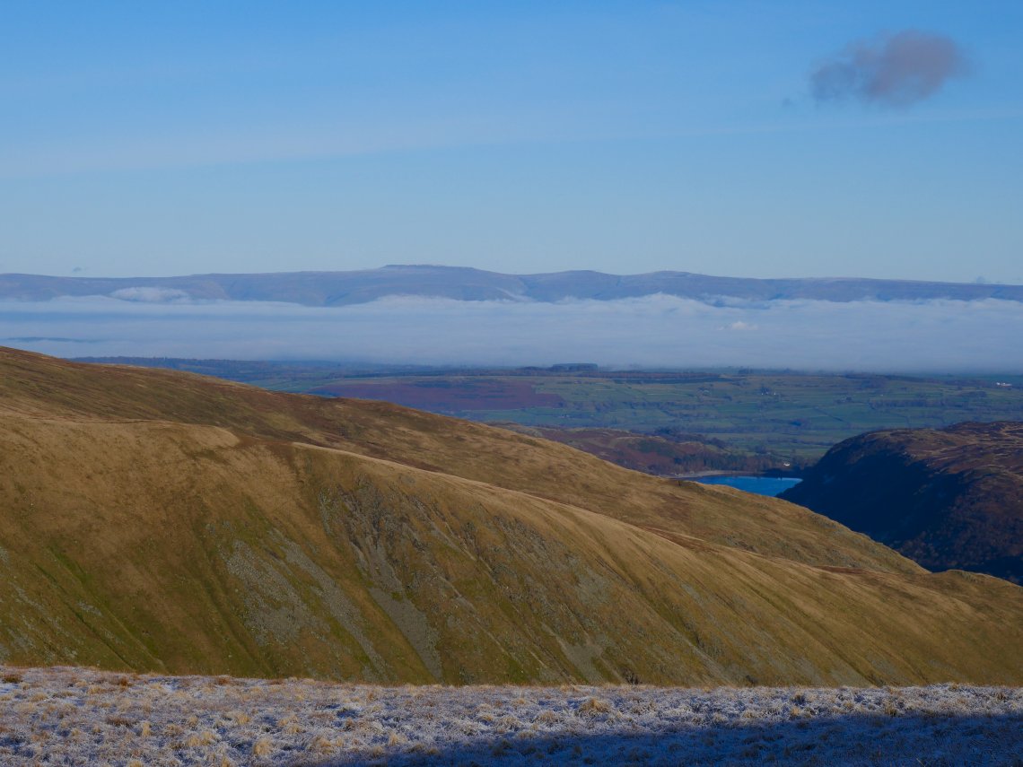
Extensive cloud inversion over the Eden valley. Cross Fell and the Dunnfells beyond.
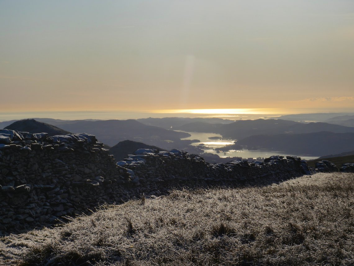
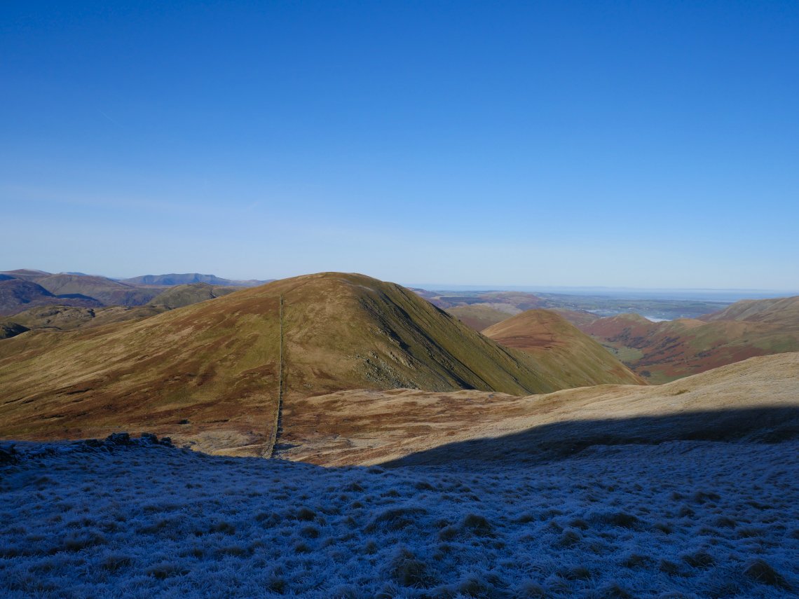
Following the wall up and over High Street. Windermere and Morecambe Bay shine in the low winter sun.
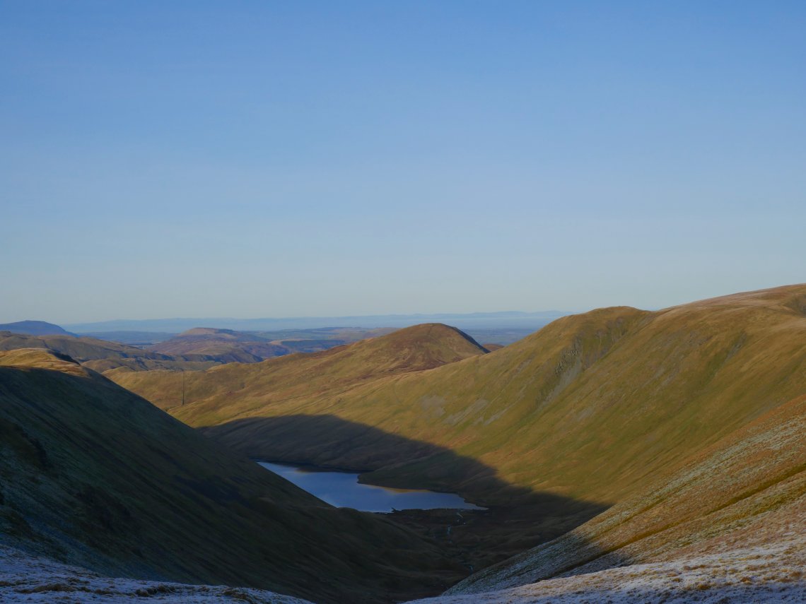
Hayeswater below.
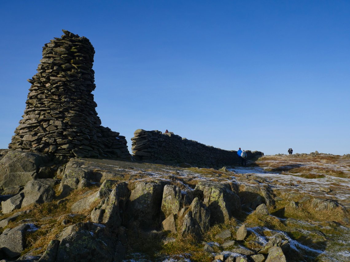
Thornthwaite Crag and Beacon
.
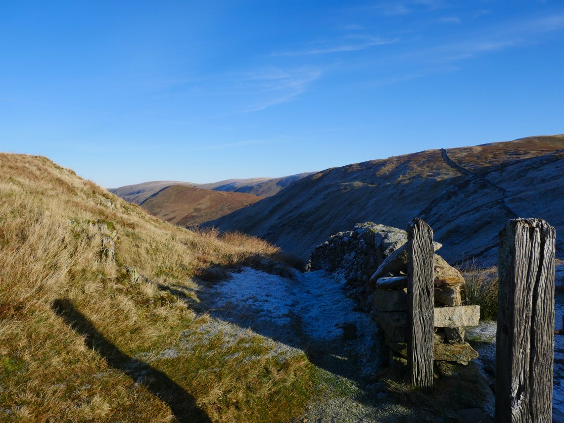
Still very frosty on the north side of the hills, which did make me wonder what the steep descent from Gray Crag would be like.
It turned out to be not as bad as I'd feared, any icy patches could be walked around and we all got down safely
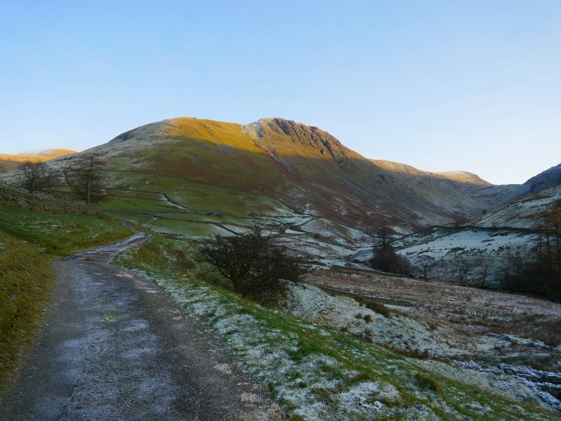
Gray Crag from Hartsop.