WWW.KARLSWALKS.CO.UK
PICTURES AND TRIP REPORTS FROM MY WALKS IN THE ENGLISH LAKE DISTRICT
|
|
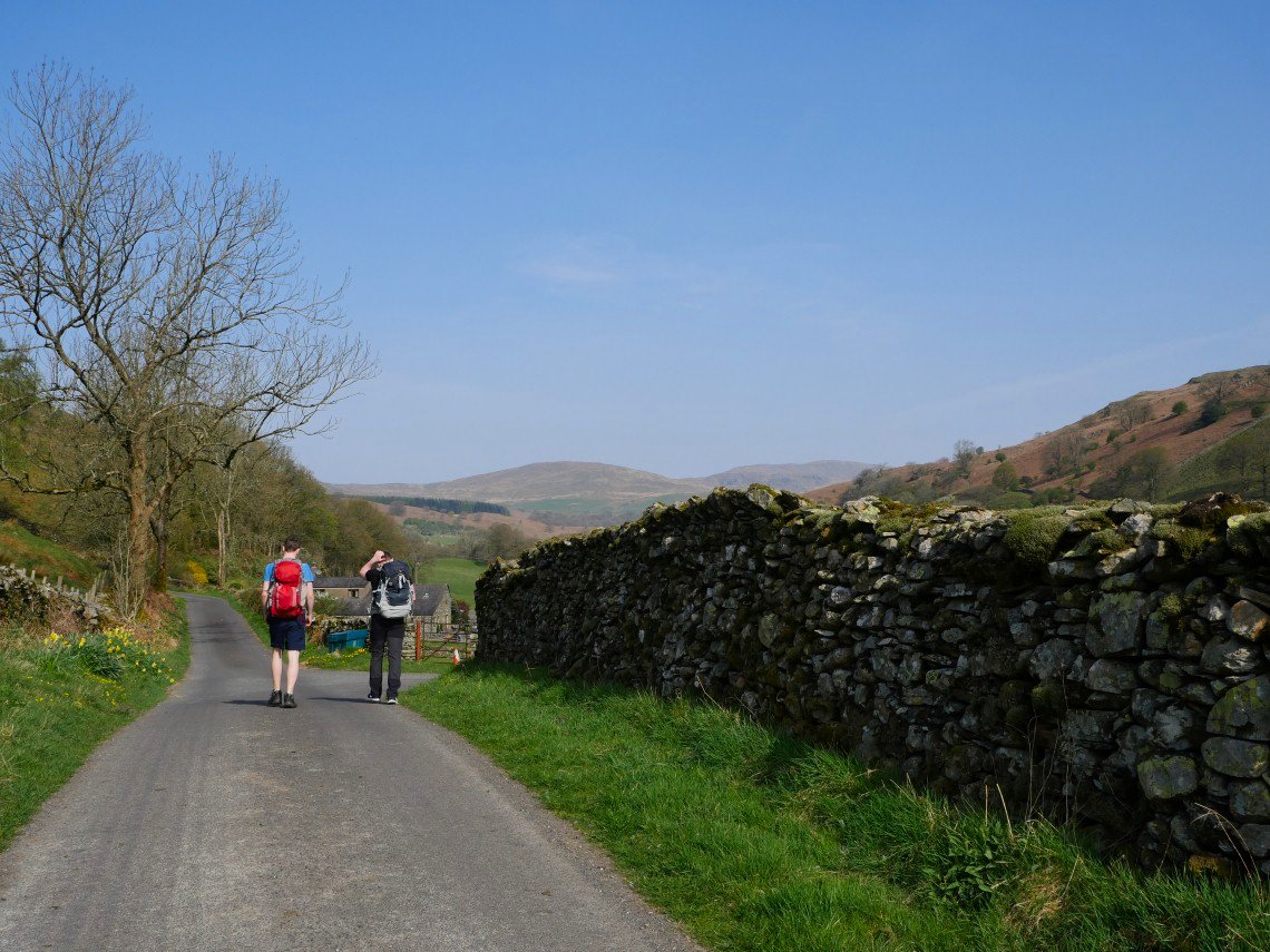
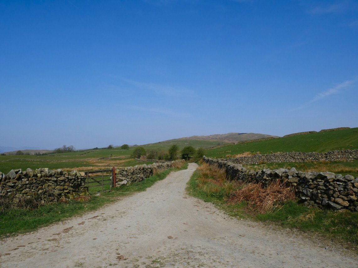
We couldn't miss the opportunity to take advantage of this spell of wonderful weather so David, James and I set of along the lane from Staveley heading north.
Making our way along Browfoot lane, it's only just after nine but already warm.
Only Lambs and daft walkers would not take it easy in the shade.
We follow Browfoot lane uphill which opens the up the views to Shipman Knotts and Kentmere Pike.
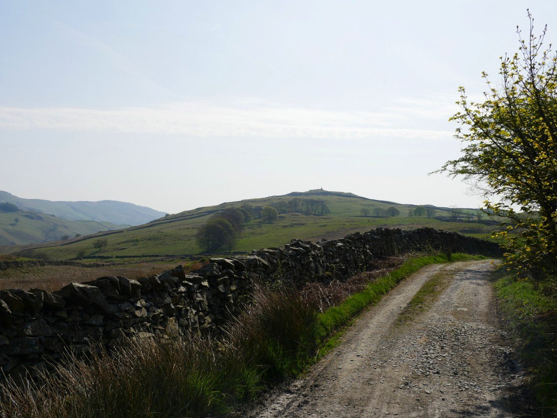
Hugill Fell with Williamson's Monument visible on top.
There hasn't been much rain in the Lake District lately so all the paths and grass are very dry. We are heading for the dark line on the fell ahead which is the small plantation between Capple Howe and Sour Howes.
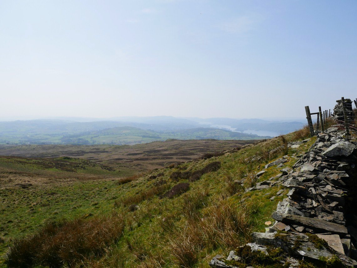
We took shelter behind the wall next to the trees as the sun was beating down. Extensive haze has been a feature of the recent good weather so not brilliant for photography but a small price to pay warm and settled conditions. That's Windermere in the distance.
On to Sour Howes now looking to the Ill Bell ridge which we have to tackle next.
On the ascent of Yoke.
.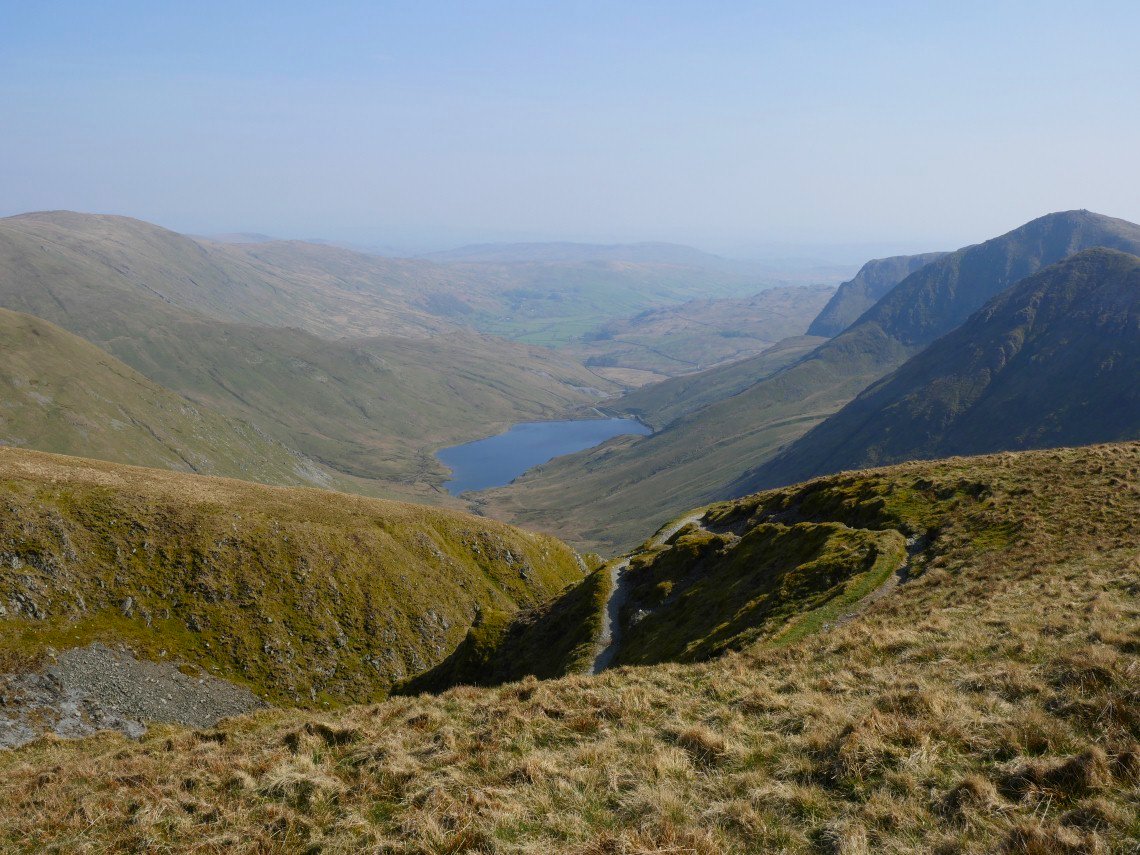
Kentmere reservoir and valley seen from the plod up to High Street.
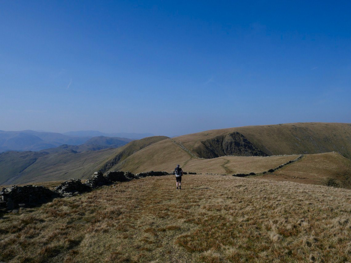
High Street ahead, you cant get lost just follow the wall.
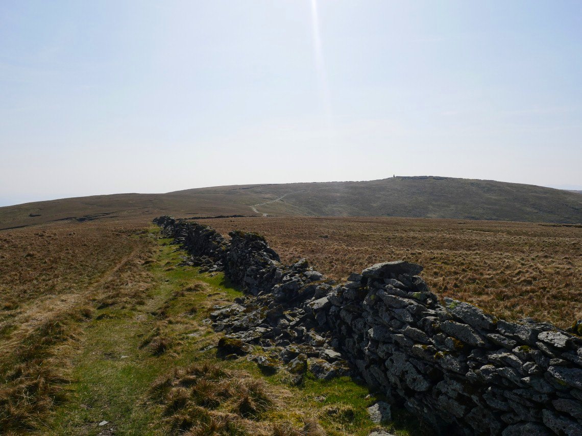
Looking across to Thornthwaite Beacon. We were talking to a lady who had just come from there and she said it was absolutely heaving but they must have all gone somewhere else as we only saw a couple of people on High Street.

Looking back to the Ill Bell ridge.
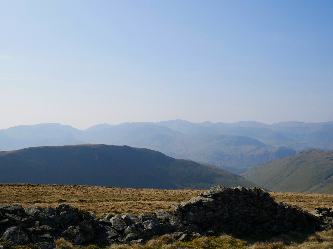
The Helvellyn group through the haze.
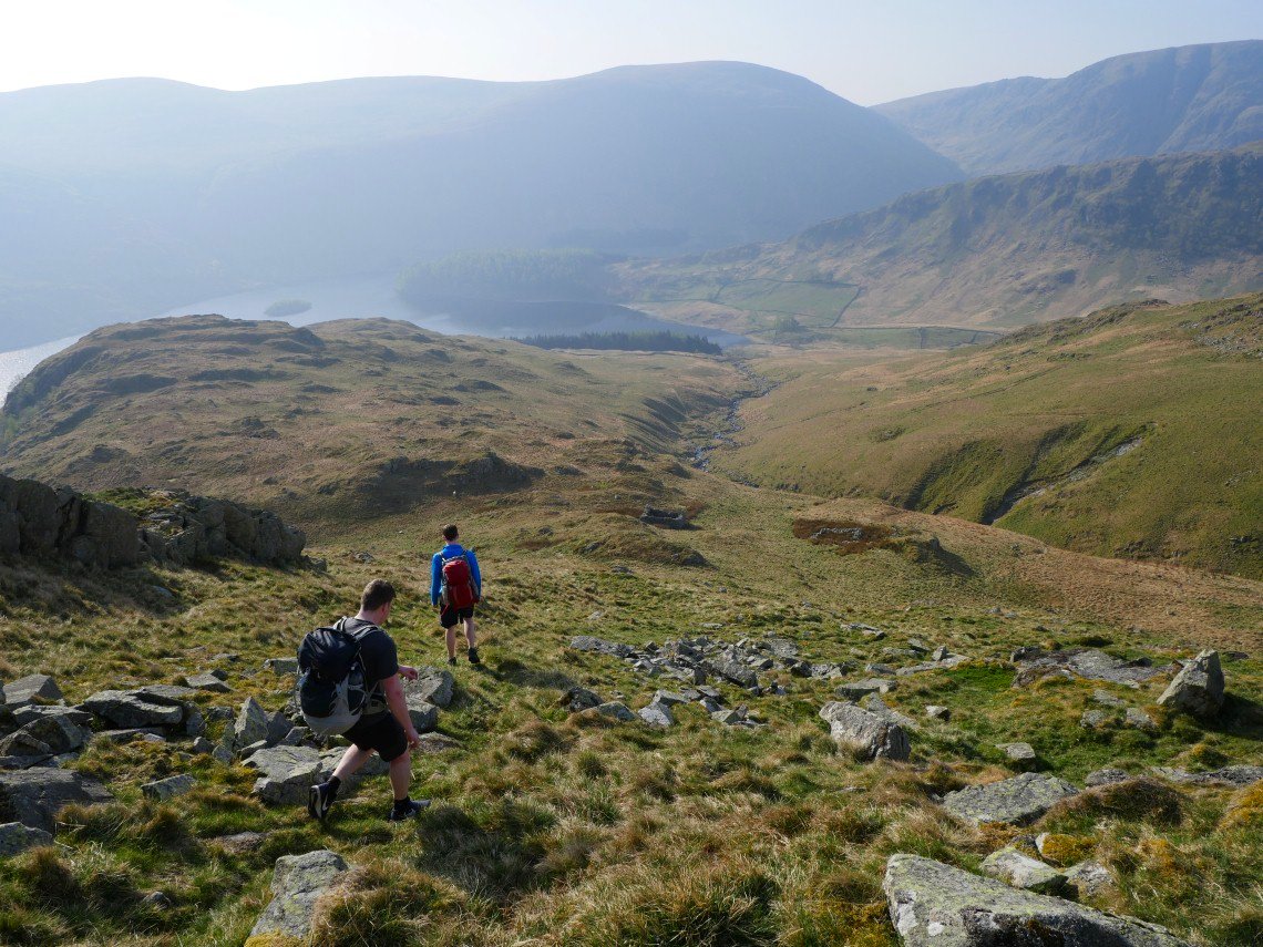
Walking down from High Street we diverted over to Short Stile, the little point on the right.
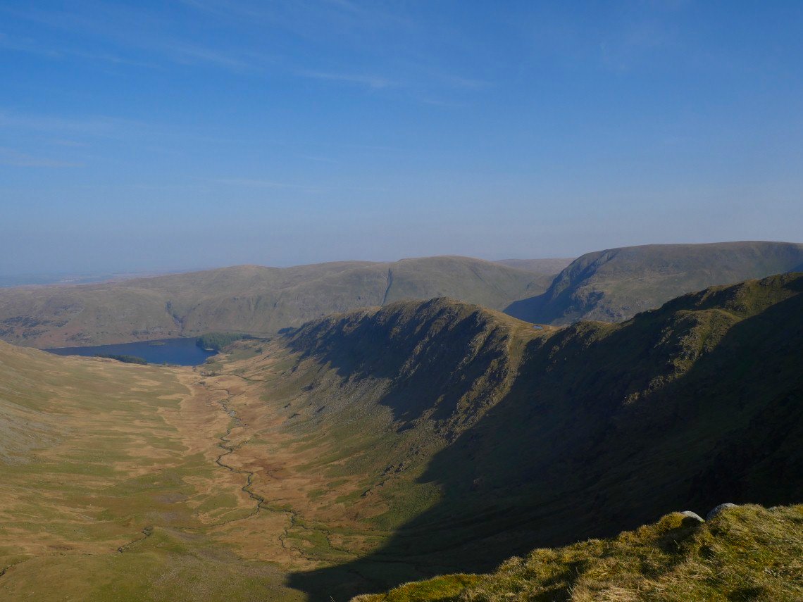
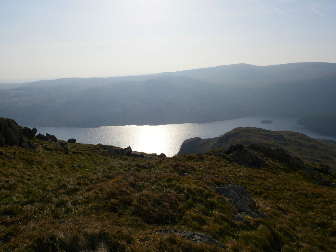
From where there is a great view of Riggindale valley, the Long Stile ridge and Haweswater.
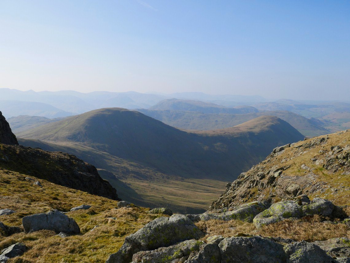
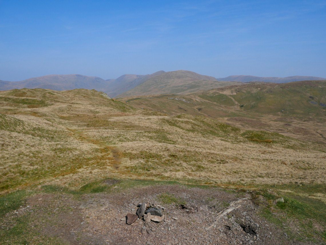
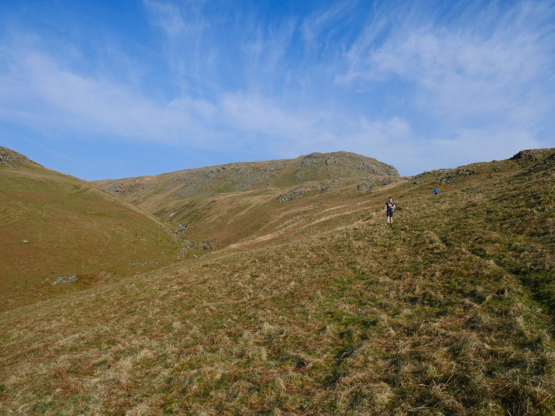
Rest Dodd and The Nab seen from the climb to High Raise.
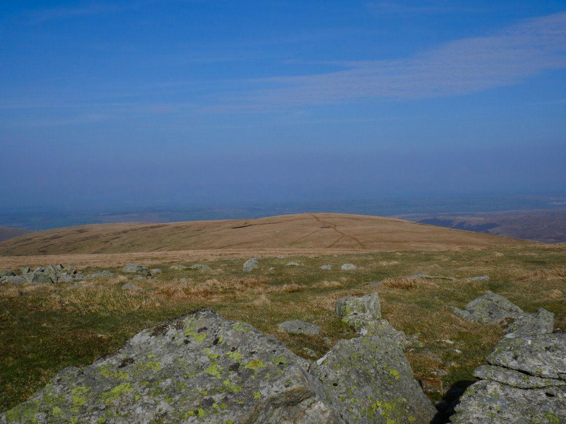
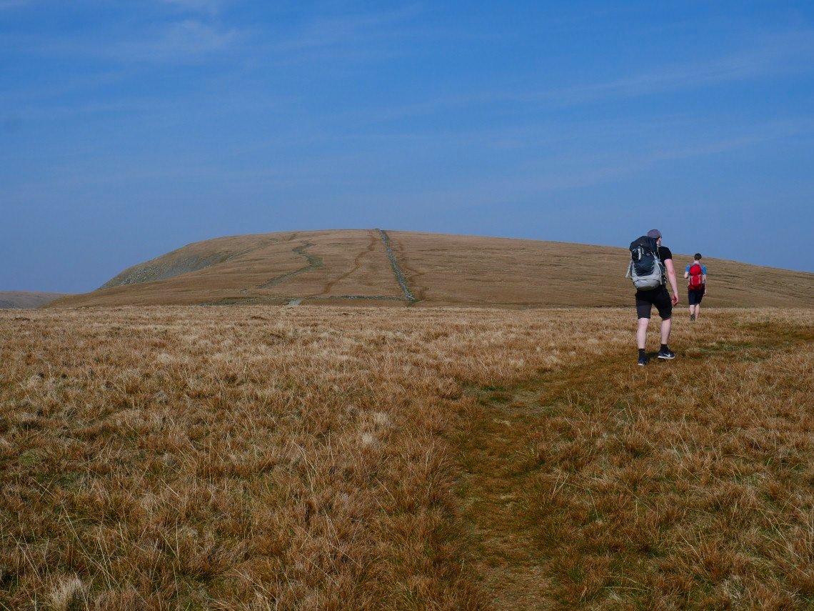
Low Raise is only a short down and up from High Raise.
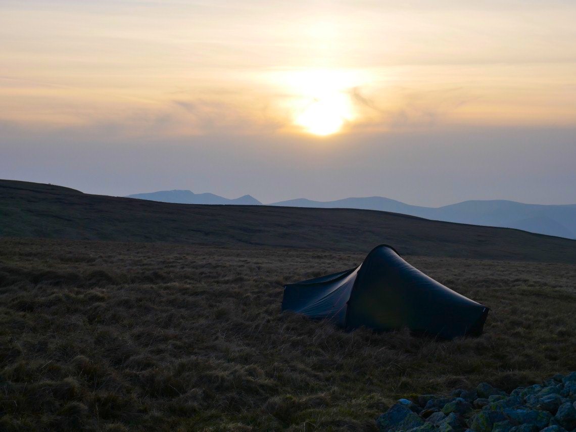
The Helvellyn fells again. Not a fantastic sunset but a very mild evening, although a breeze did get up later which cooled things down slightly.
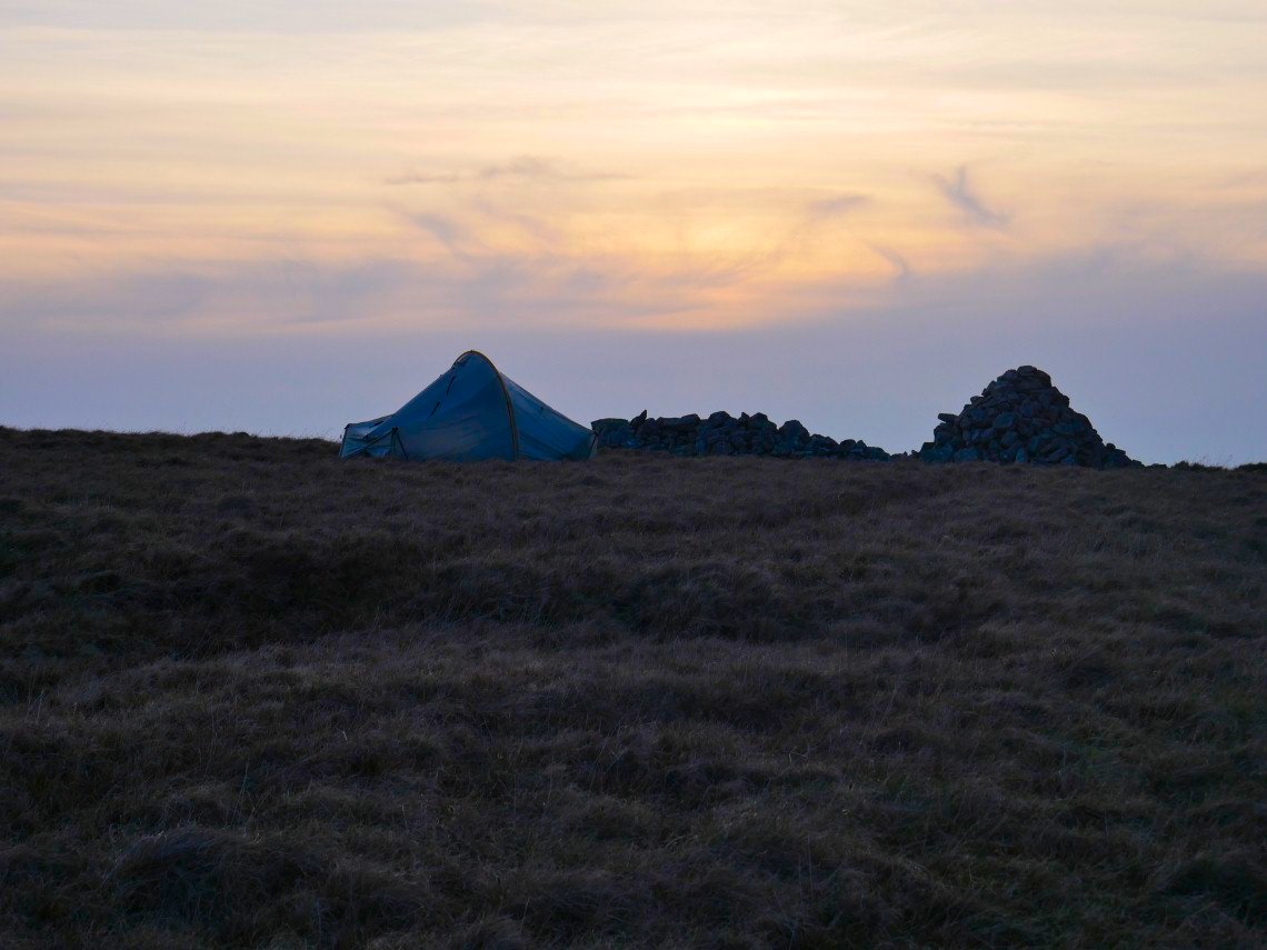
The boy's tent next to the large cairn and wind shelter.
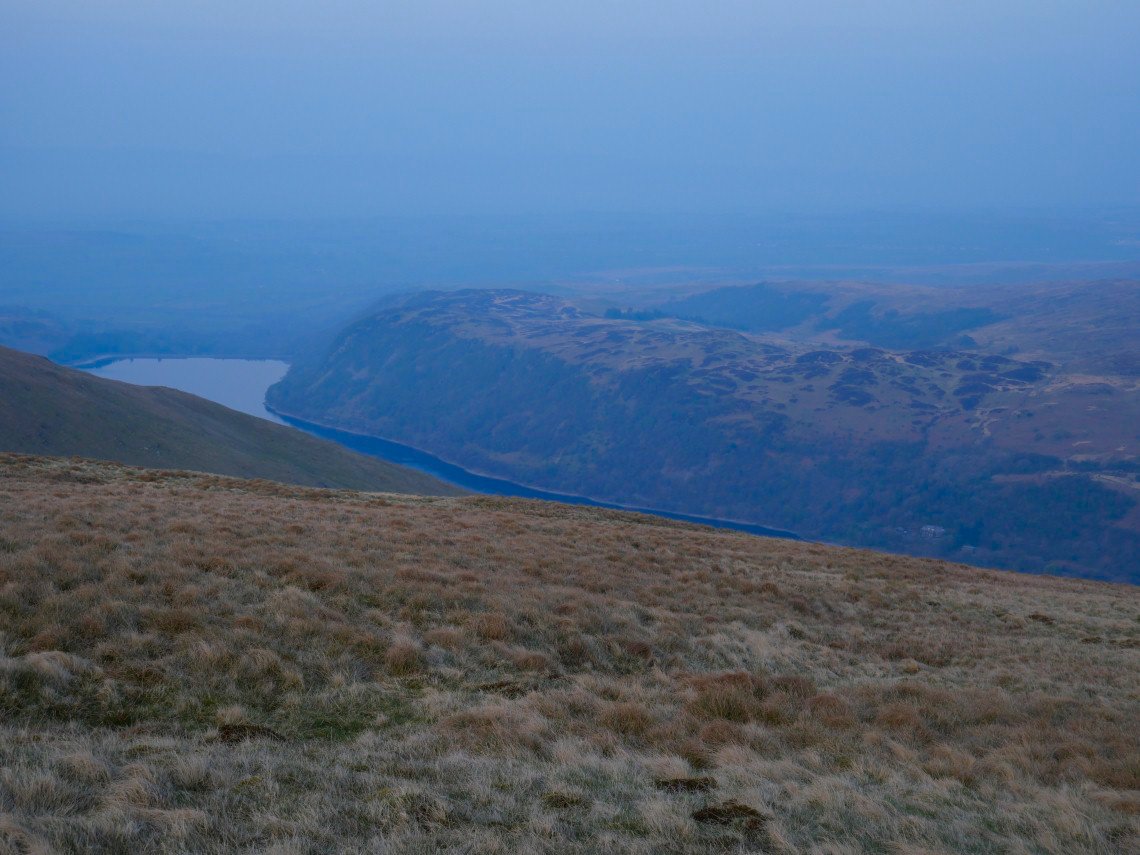
After tea I had a wander over to have a look down to Haweswater. The hotel is directly below I wondered if they would fetch up a night cap.
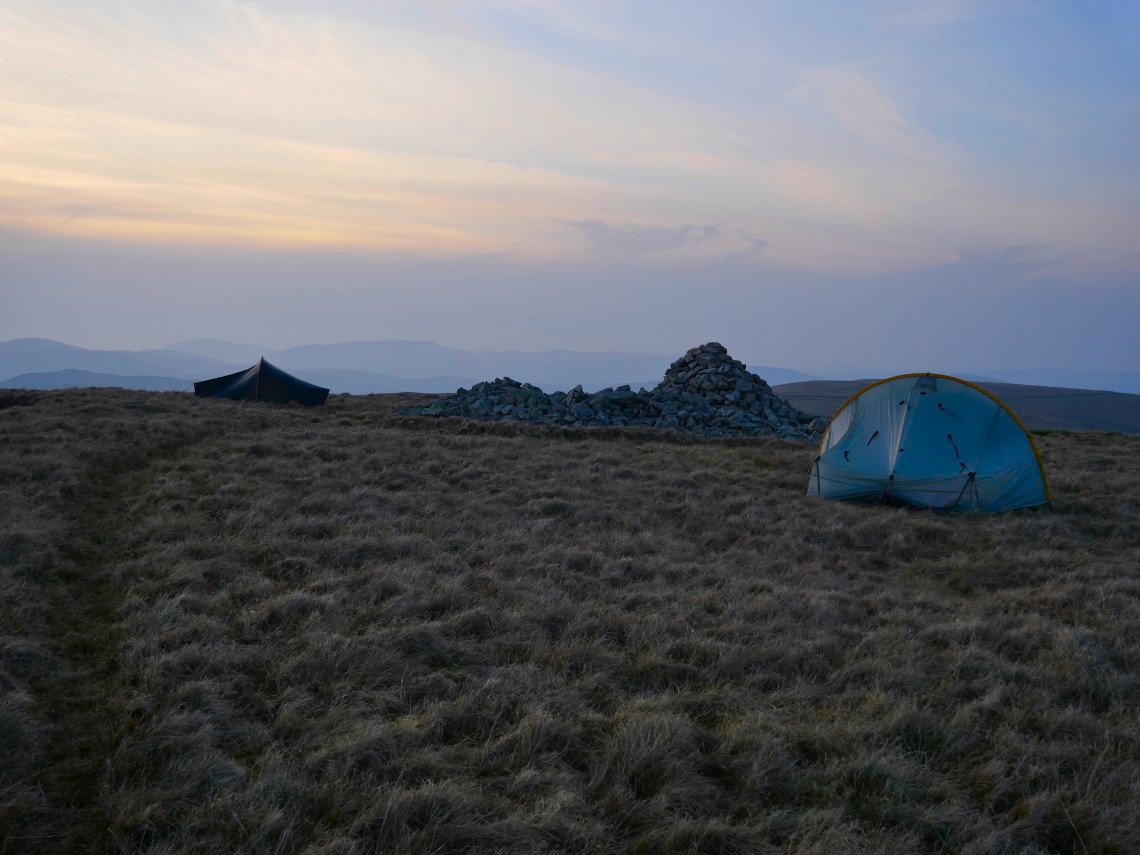
The end of a brilliant if at times tiring day.
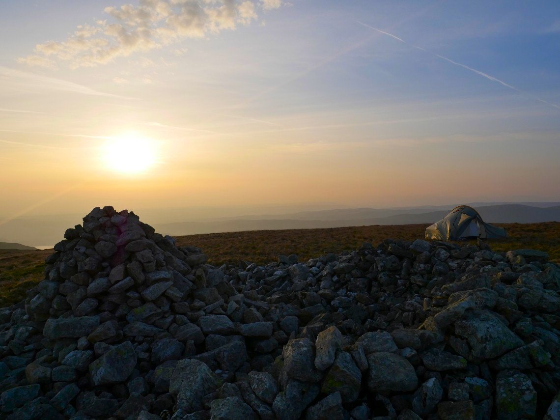
The wind was blowing quite hard in the night which made it hard to get back to sleep after a comfort break around 3AM so I overslept and missed the start of the sunrise.
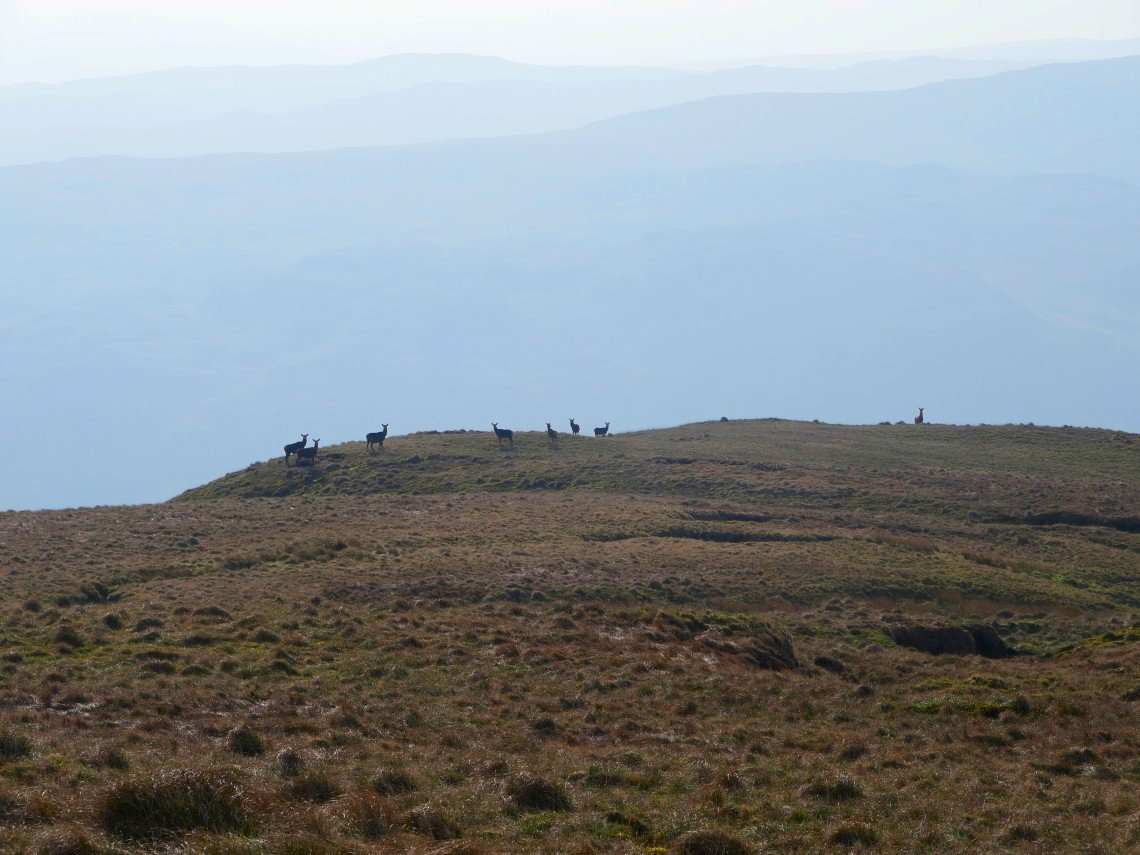
As usual in these parts no shortage of deer.
Starting on the walk down Band End. The small outcrop on the left is Castle Crag ( Mardale )
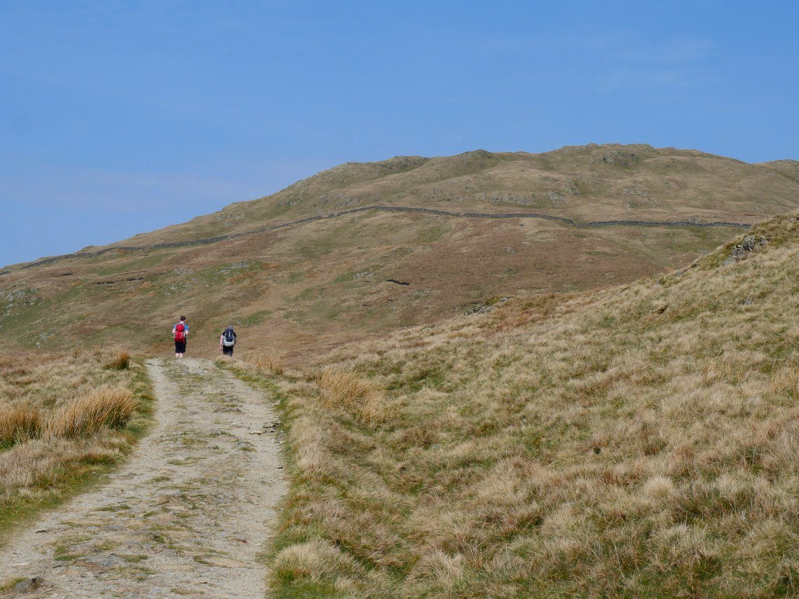
A cooler breeze was blowing today which we were glad of .
Looking back up Band End .
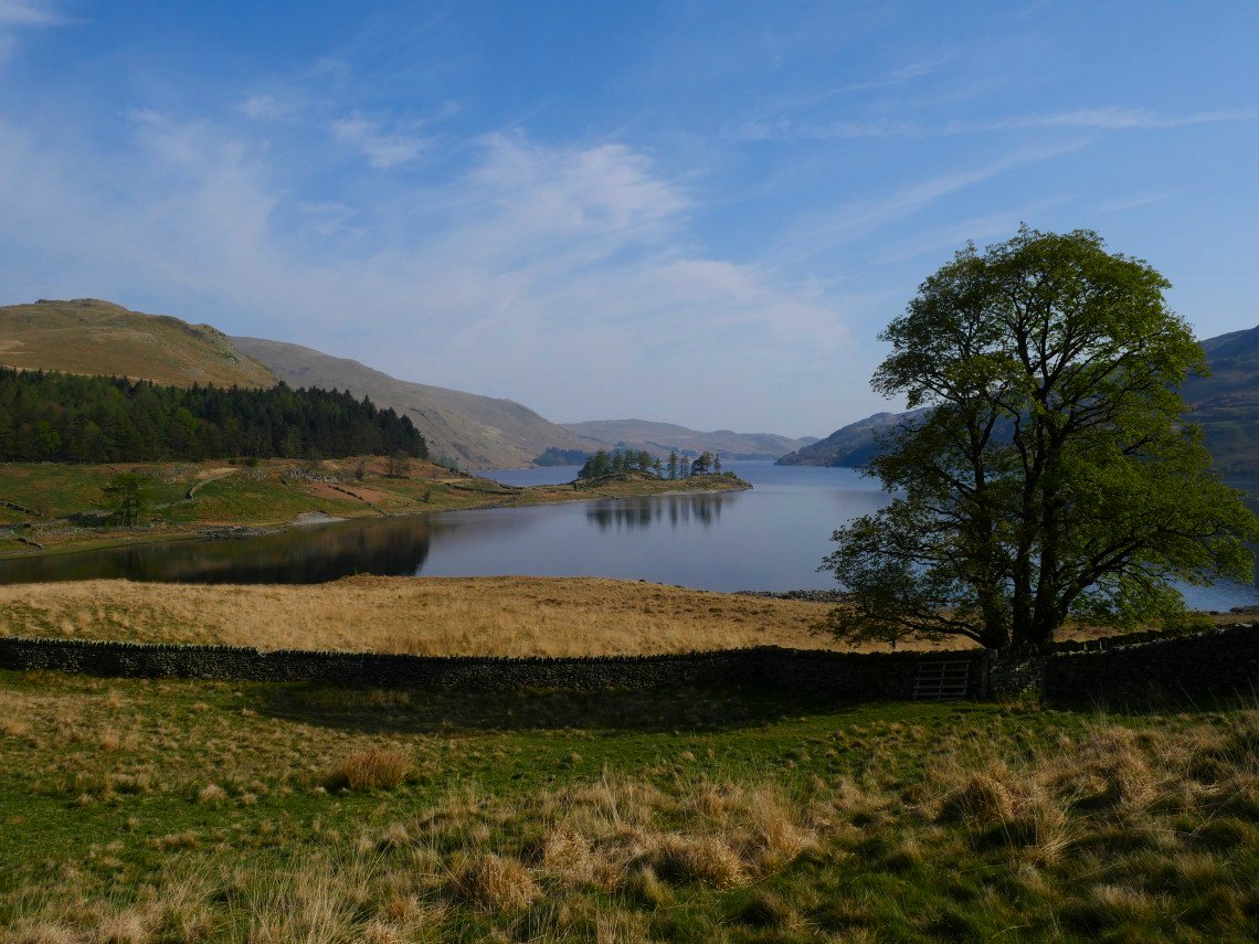
Haweswater looking lovely this morning.
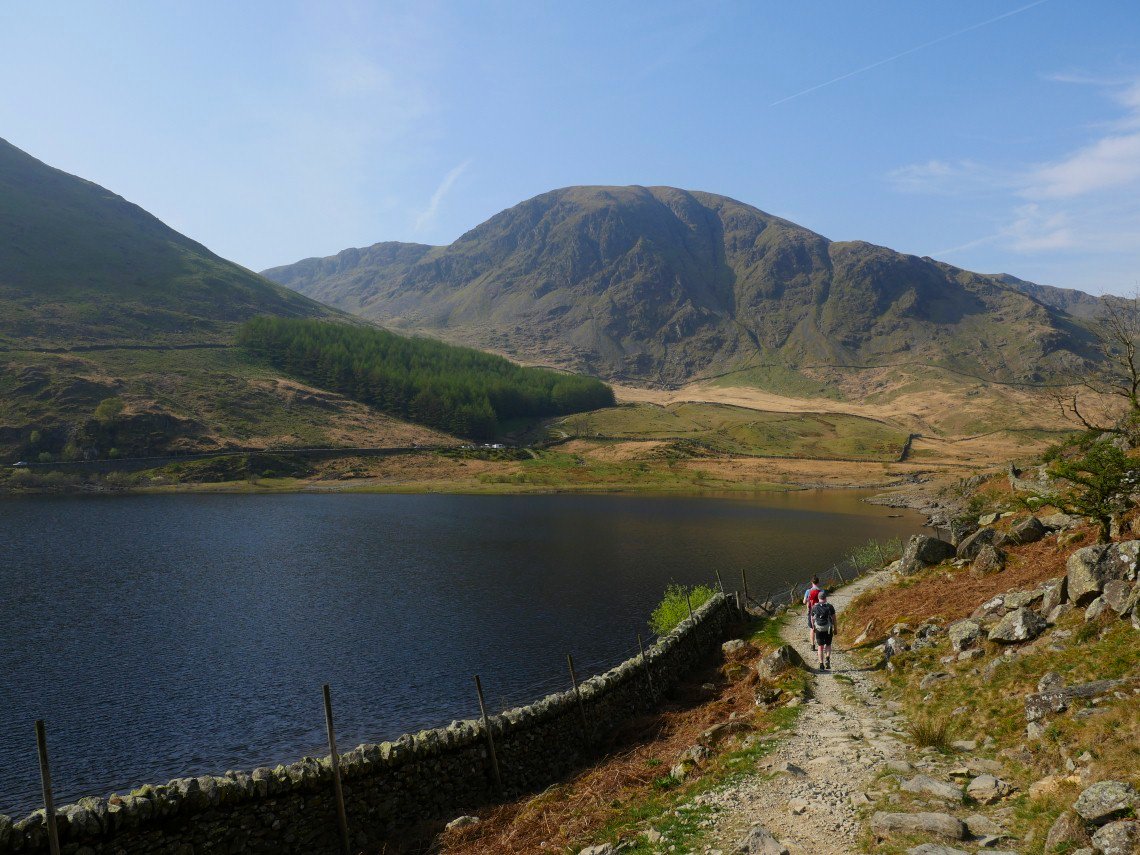
Harter Fell dominates the head of the valley. We are heading for the pass which climbs up behind the trees.
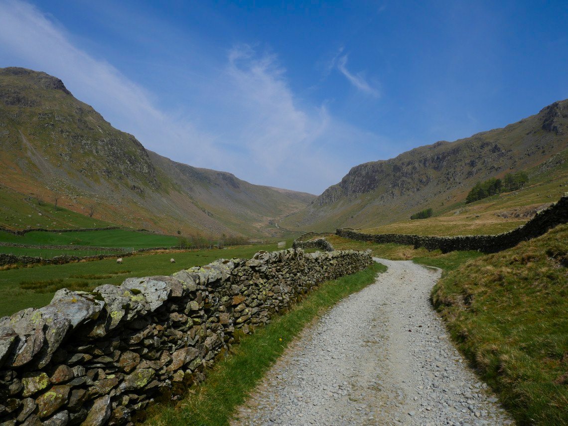
Nearly at the top of Gatescarth Pass looking over to our camp spot ( the small rise on the skyline just right of centre ).
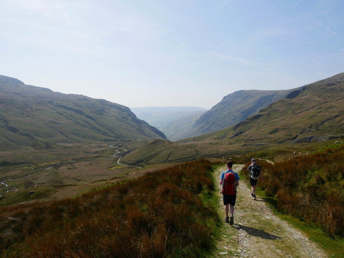
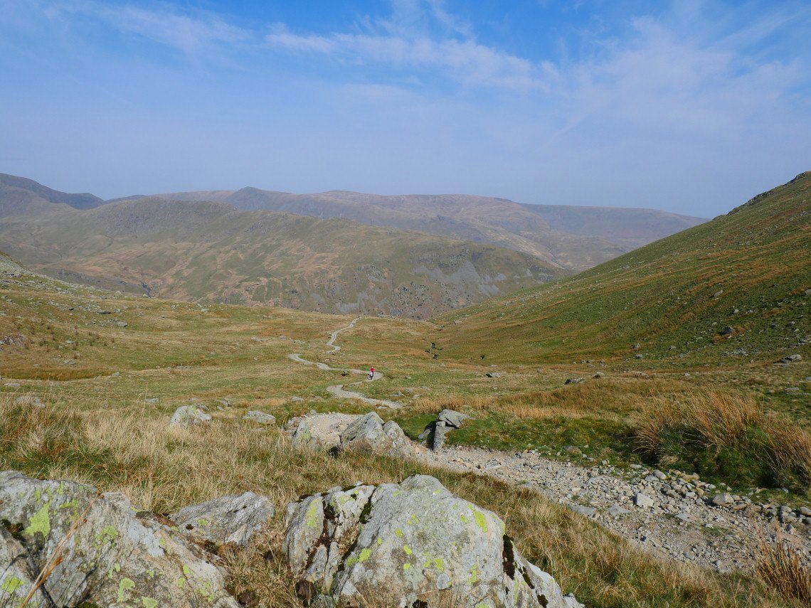
Starting the descent into Longsleddale.
And looking back along Longsleddale..
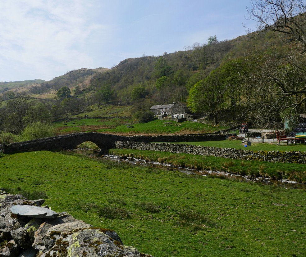
Down to Sadgill and a brew stop. I have cropped the cars out of the picture as I have never seen so many parked at Sadgill and more kept arriving and parking in increasingly silly spots. I bet there were a few cross words exchanged later as some cars were left with virtually no room to get out
.
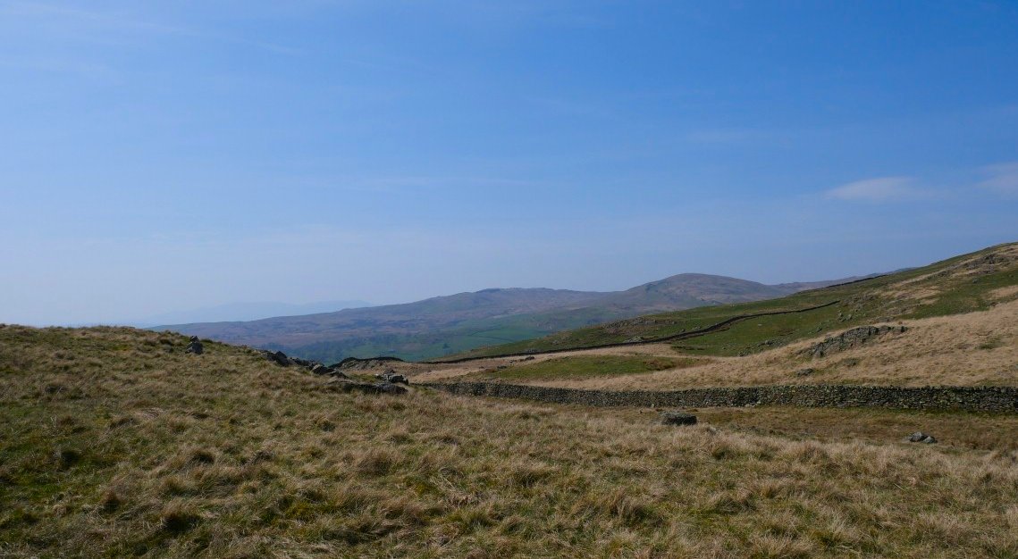
No problems for us getting out and after the small climb away from Sadgill the path winds it way very gently over the moor.
.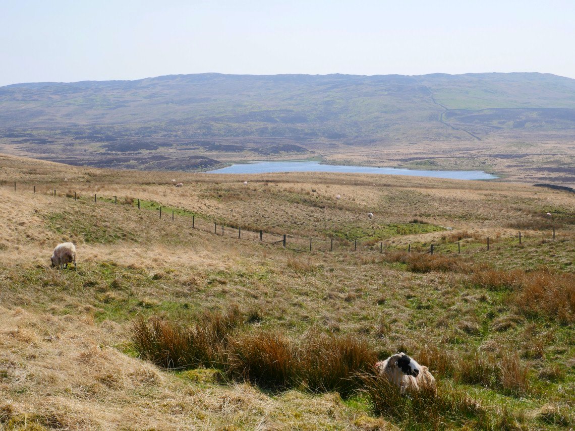
Passing Skeggles Water on the way..
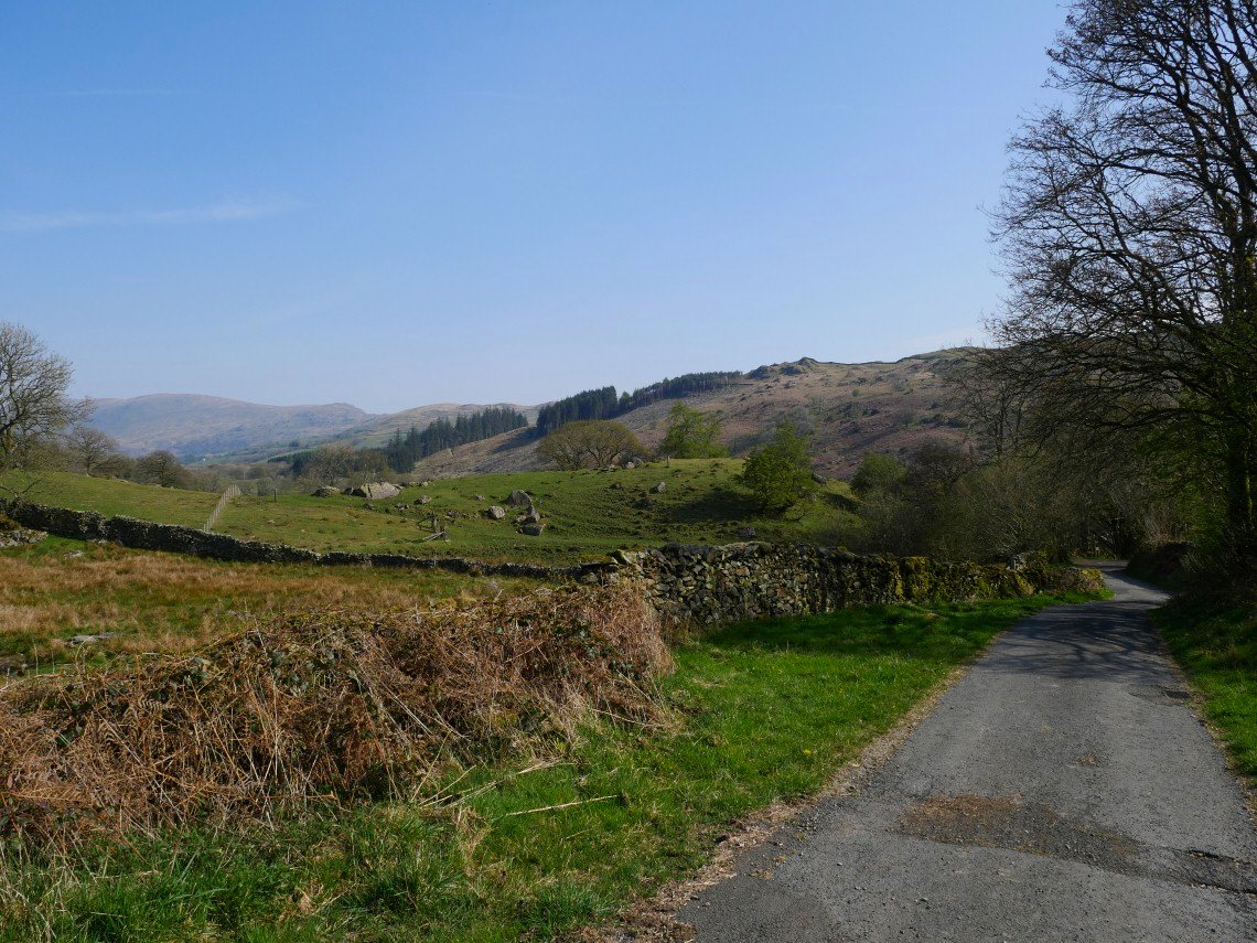
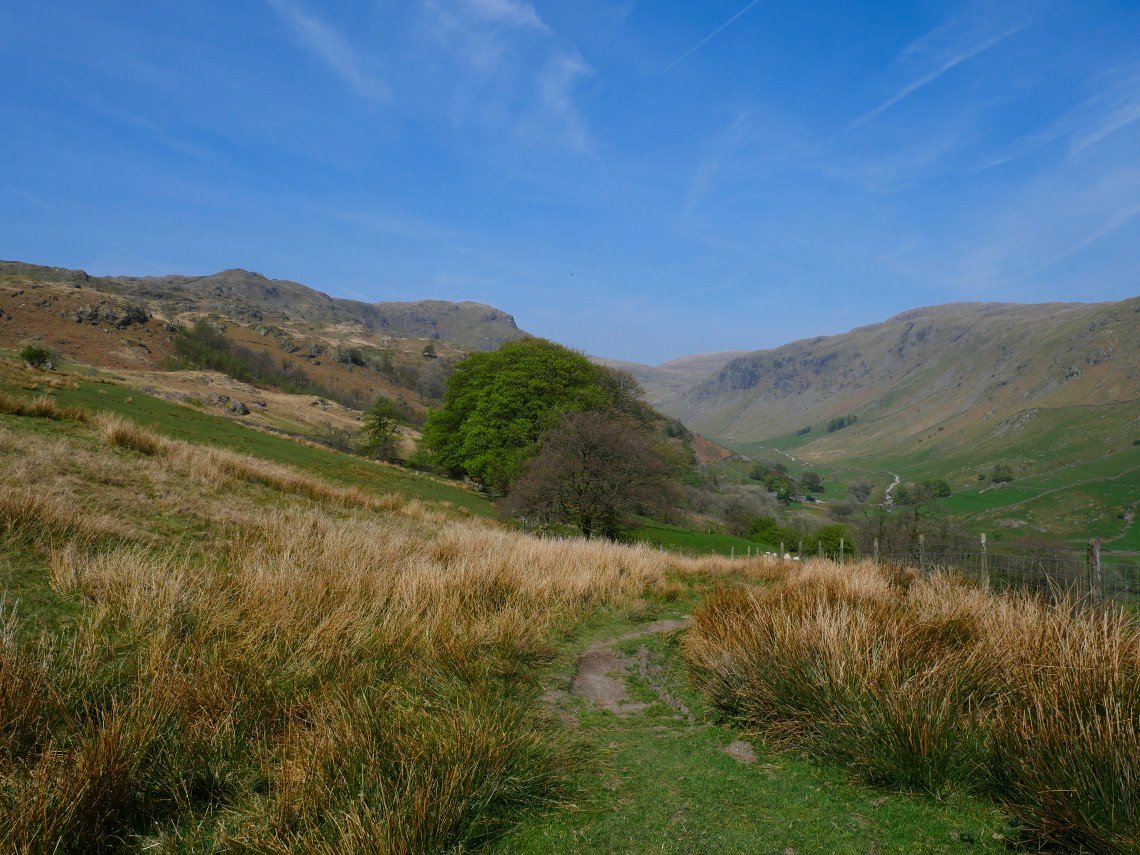
We had a view of Capple Howe and Sour Howes across the valley. Sallows is the higher hill to the right.
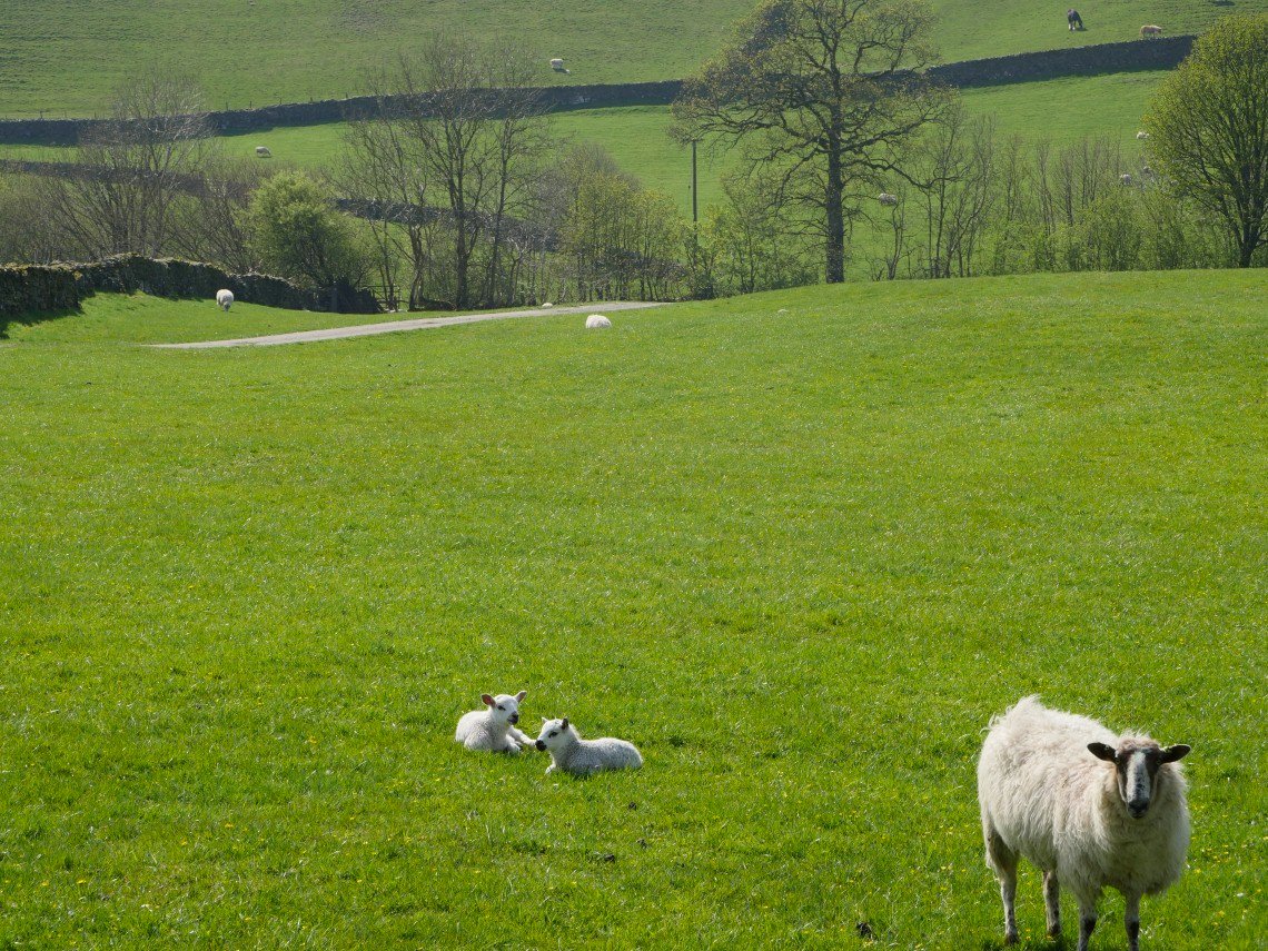
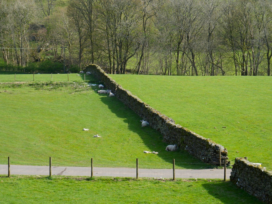
More cute lambs.
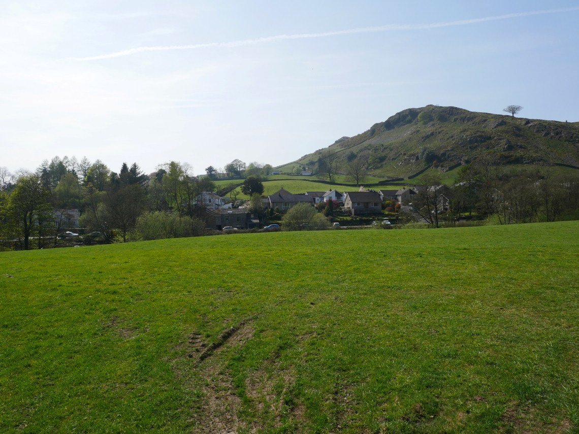
It is an easy walk down to Staveley but the hard dry paths had made us all a little footsore so we were glad to reach civilisation and in particular the Eagle and Child pub.