WWW.KARLSWALKS.CO.UK
PICTURES AND TRIP REPORTS FROM MY WALKS IN THE ENGLISH LAKE DISTRICT
|
|
Two for the price of one this week, both short walks undertaken in unclement and sometimes challenging weather
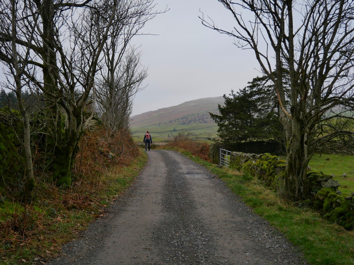
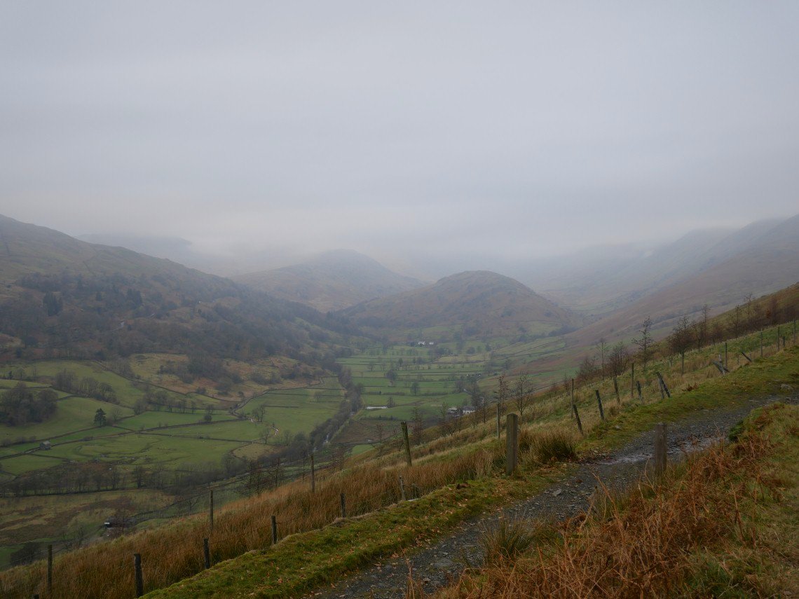
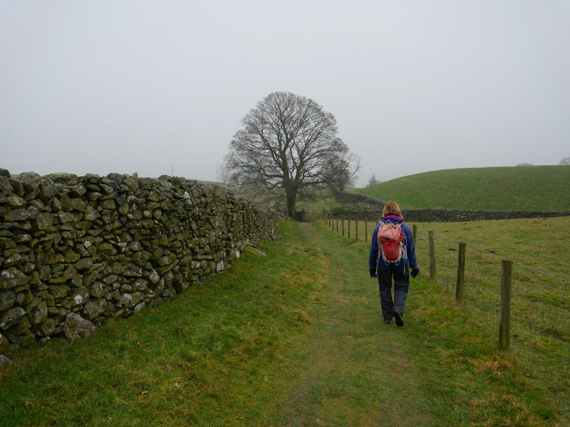
Our trip out on the sixth took us to Brown Howe and then to the Dubbs road.. The skies were dull but it was calm and stayed dry.
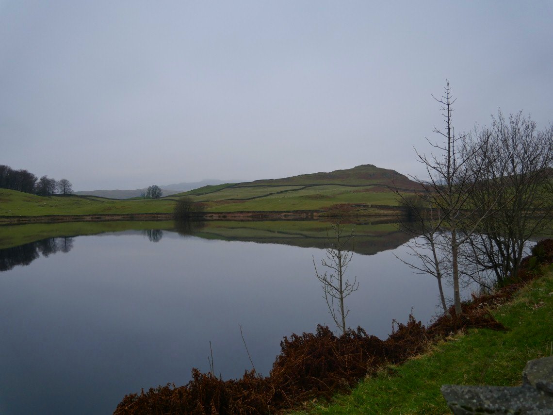
It's not long into the walk when Dubbs reservoir is passed.
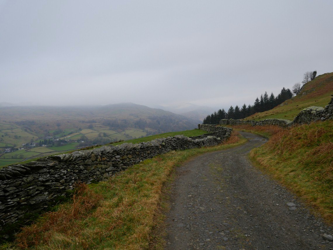
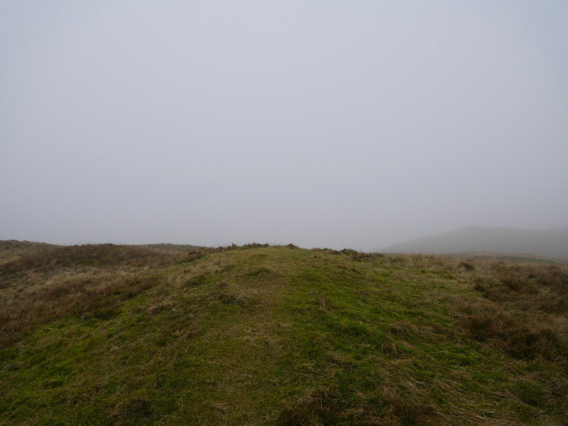
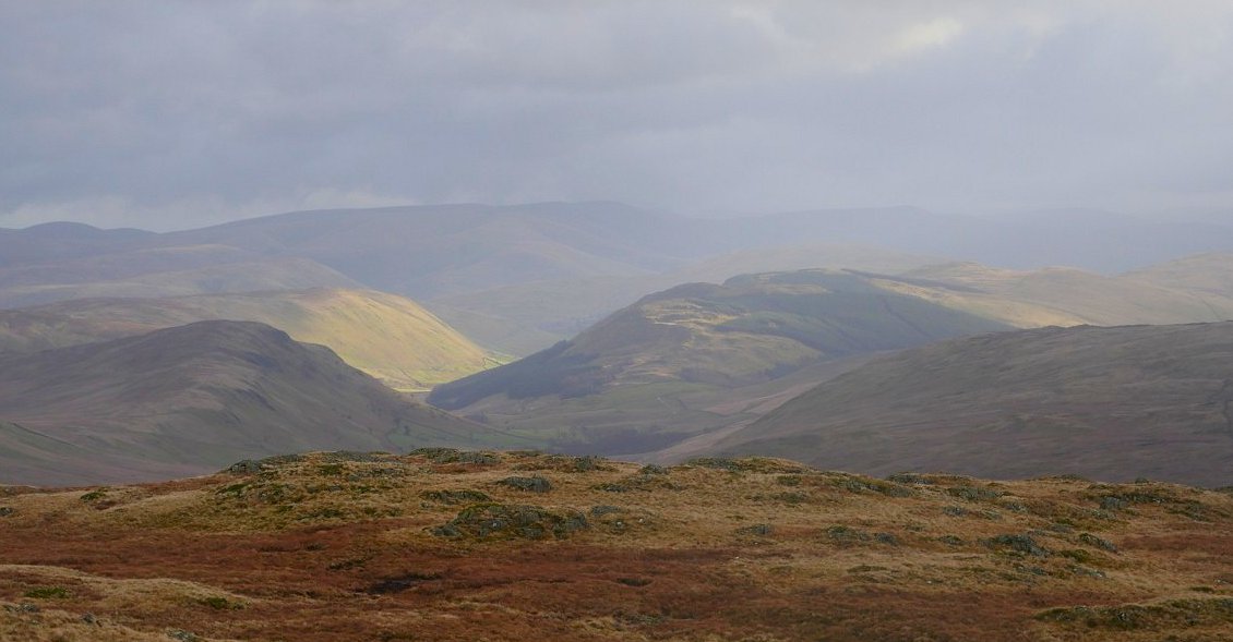
Not really any long range views today.
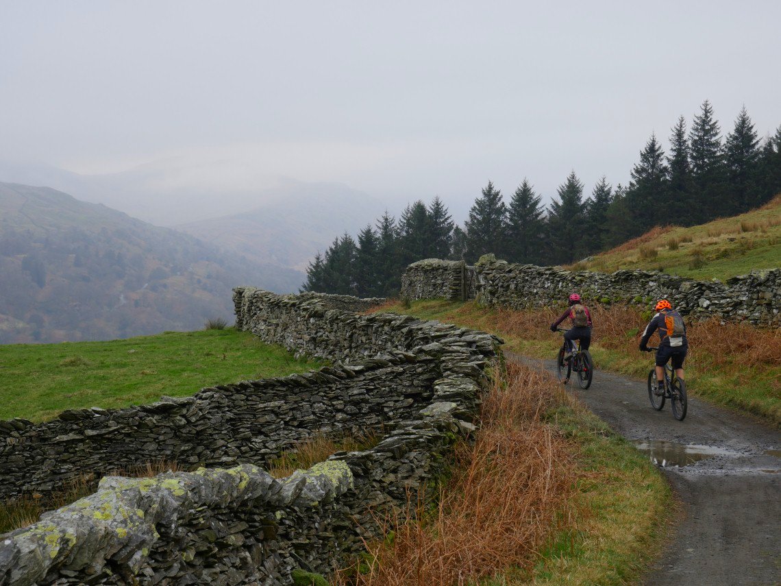
There were though plenty of mountain bikers about, we were passed by three groups of at least ten riders.
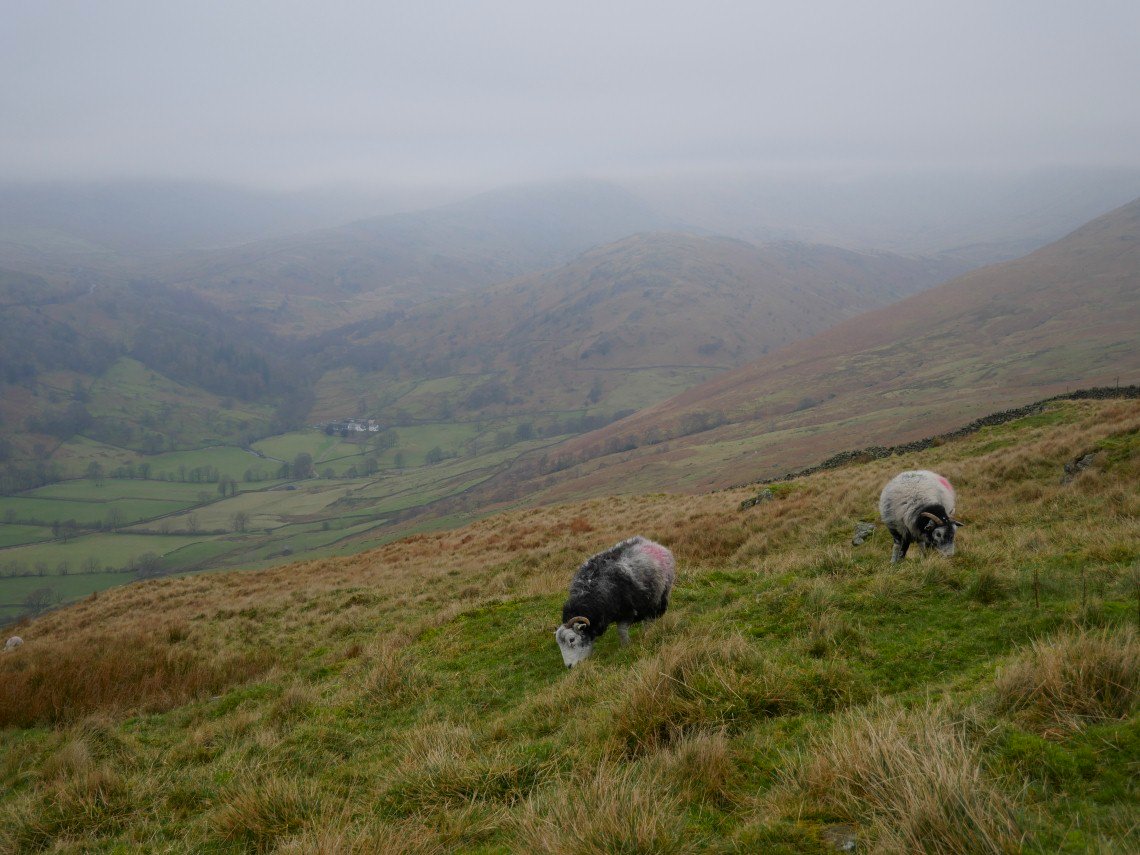
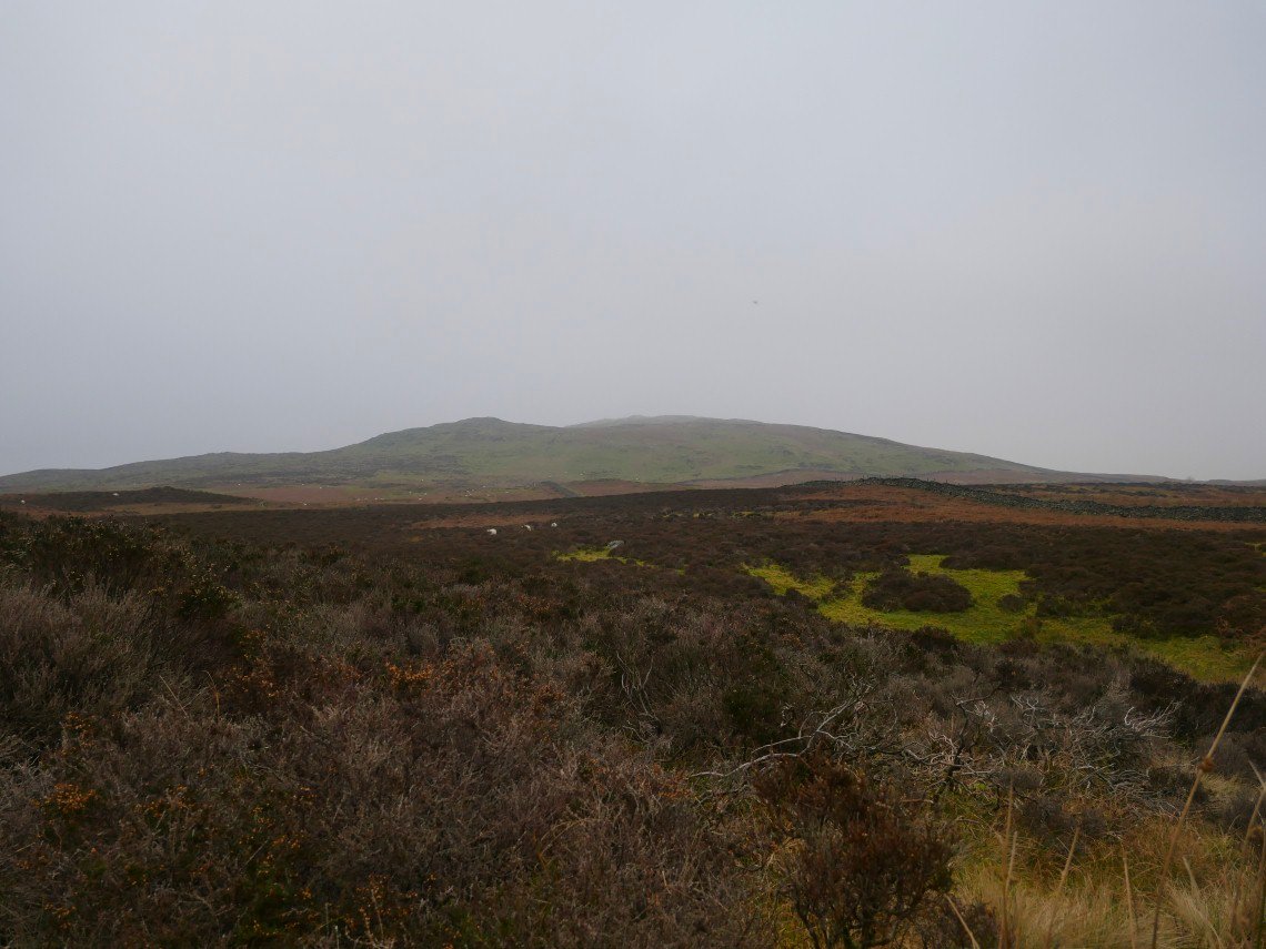
Troutbeck Tongue is just about clear for now.
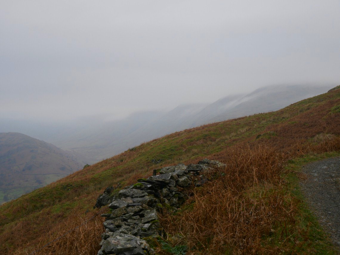
Looking along to the Ill Bell ridge and we thought the cloud might just be lifting.
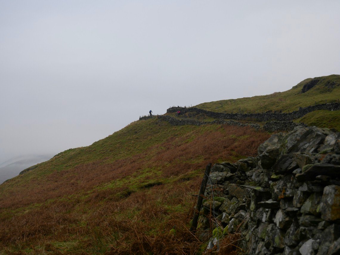
A rider conquers the Garburn climb.
.
As we do although at a slightly more sedate pace.
Looking down to Troutbeck Park. Unfortunately the cloud was actually getting lower now.
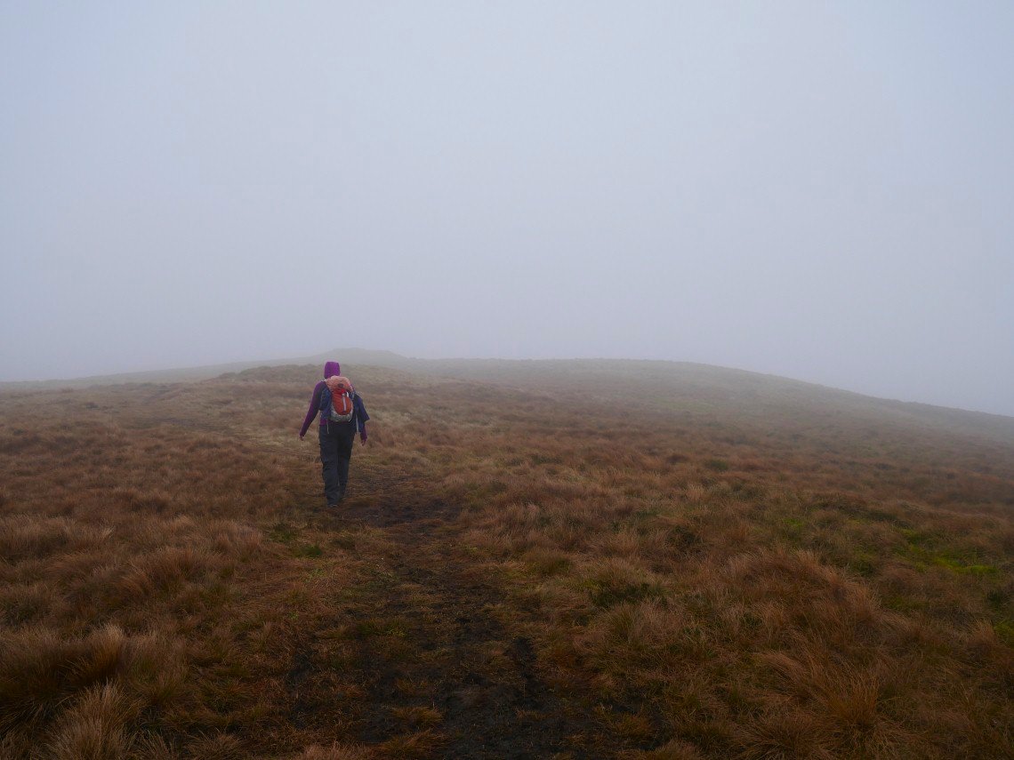
Approaching Sallows.
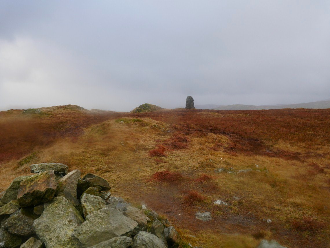
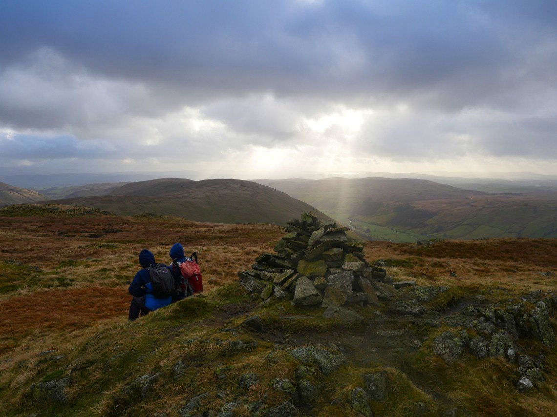
From where it's only a few minutes to Sour Howes.On days like these you do sometimes wonder why you bother but we always try to look to the positives and it was dry, not windy and not really cold for January so we made ourselves comfortable and enjoyed our lunch..
After lunch we made our way down over Capple Howe following sheep trods and faint paths until we reached the bridleway linking Ings to Kentmere. This is looking back to Capple Howe and Sour Howes.
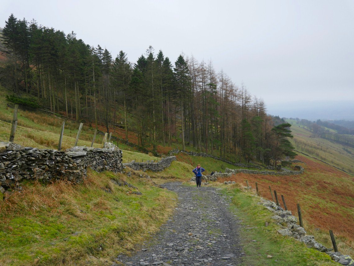
Following the bridleway. I think we turn right at the tree and head for High Borrans.
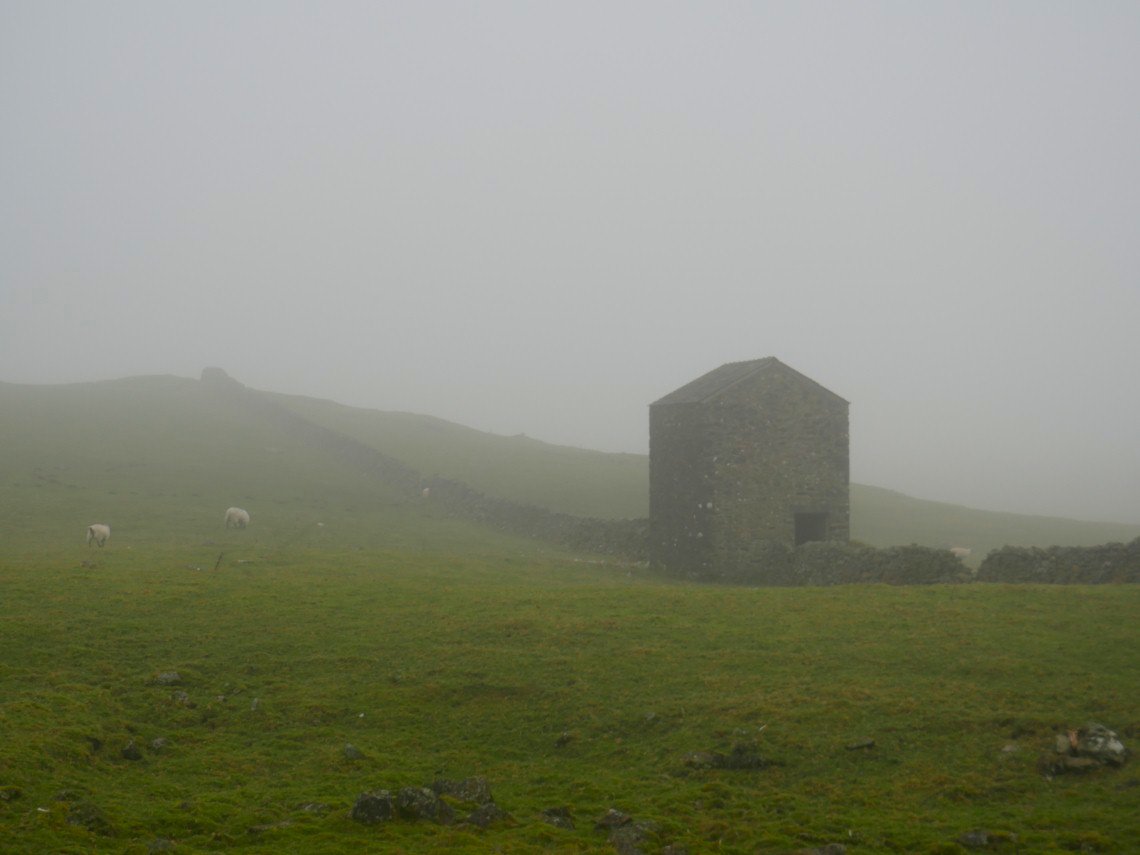
Passing an old barn by the Borrans lane. I think the mist has graduated to fog now.
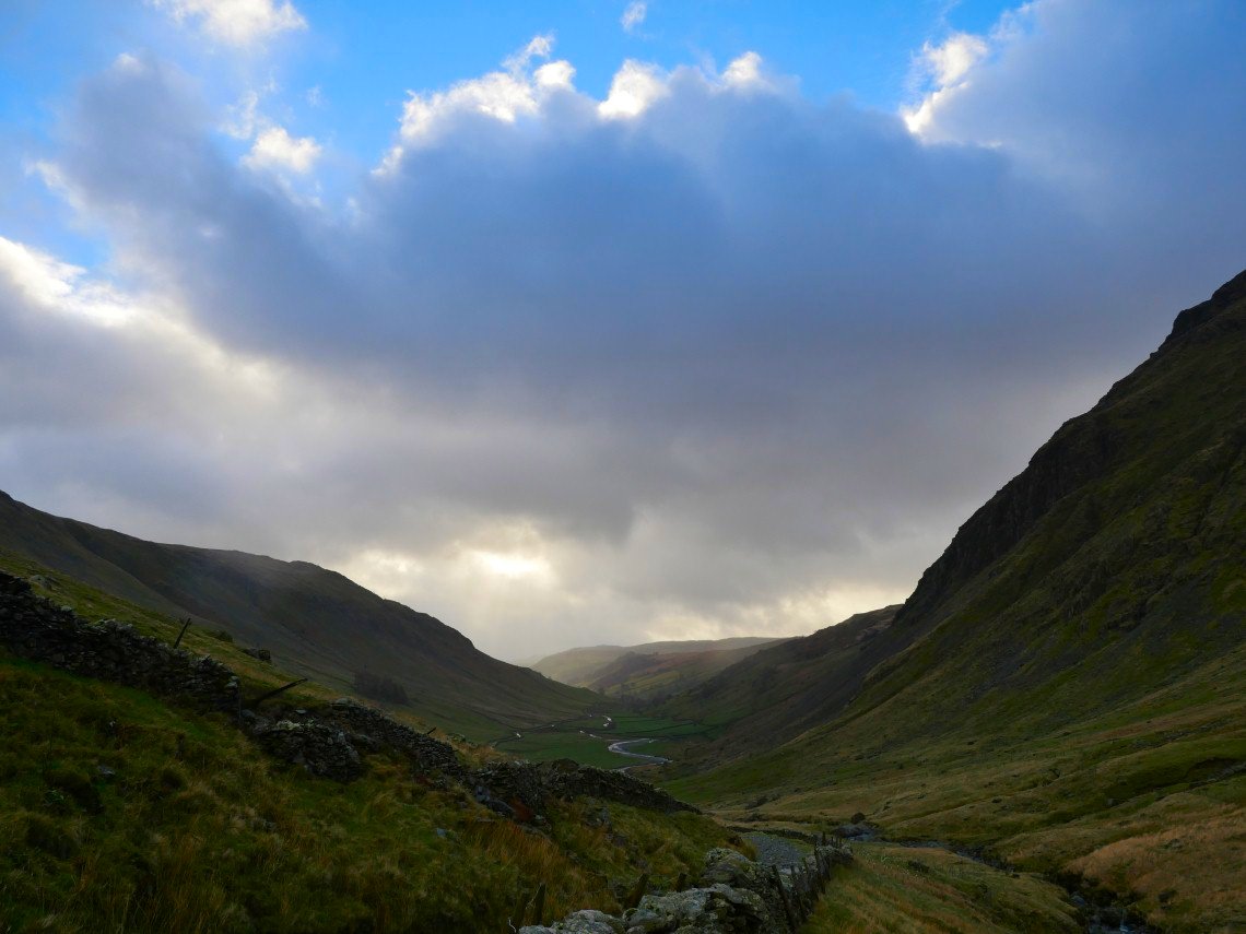
Scroll forward seven days and it's a brighter but altogether wilder day as we park up at Sadgill
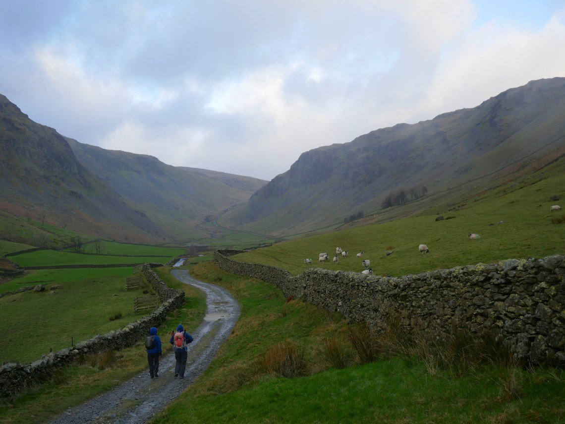
The wind was funneling along the valley full into our faces.
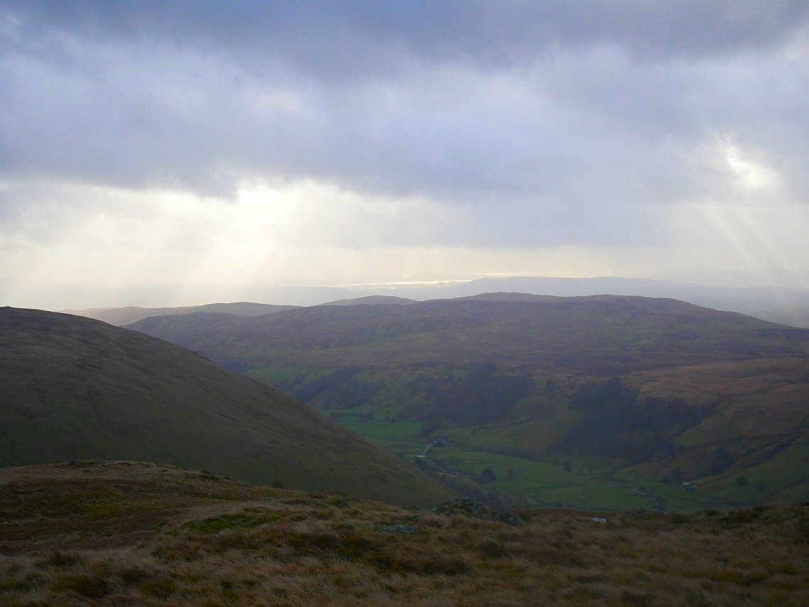
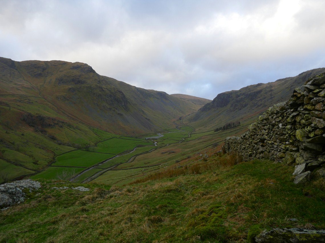
A look back down Longsleddale
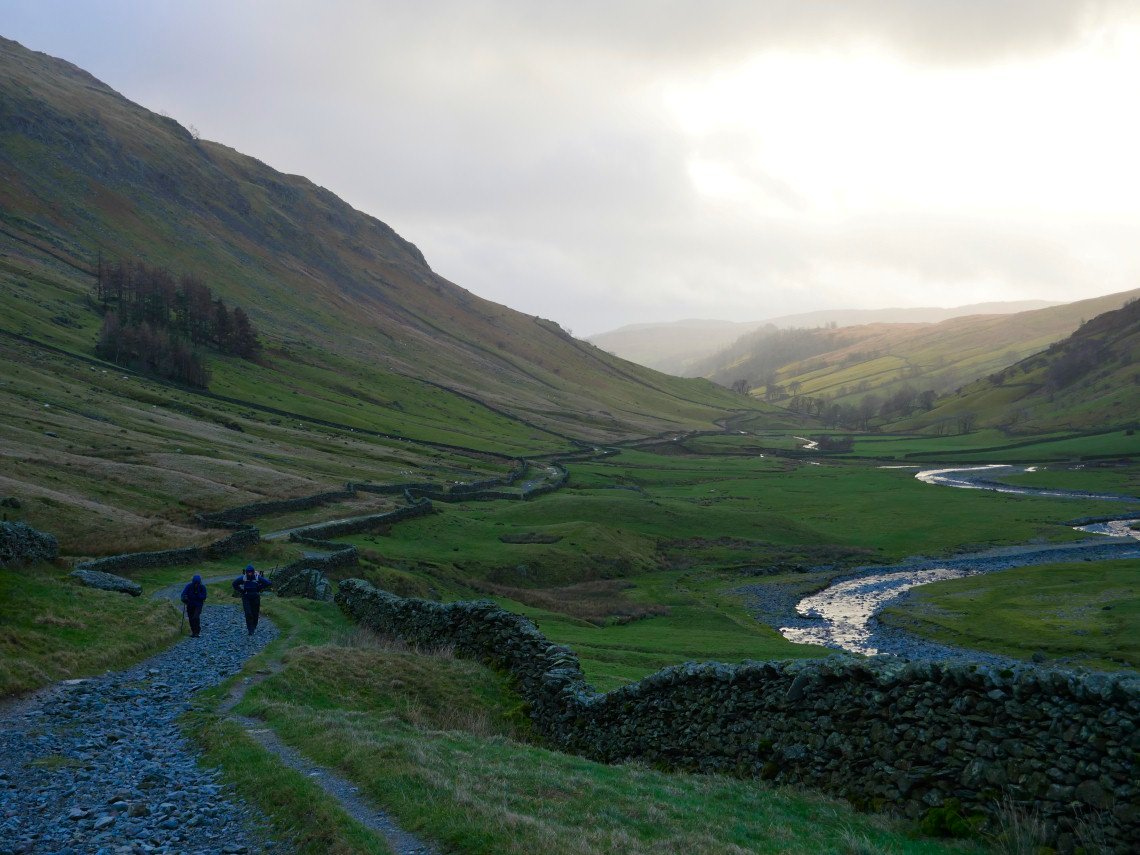
And again from higher up on the track showing a bit of blue sky.
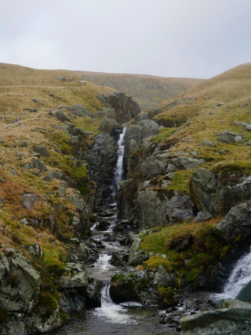
The river Sprint has a few nice cascades and falls this is one of the highest. Just after here we turn right up by the fence.
Kidsty Pike just visible over the top of Gatescarth pass.
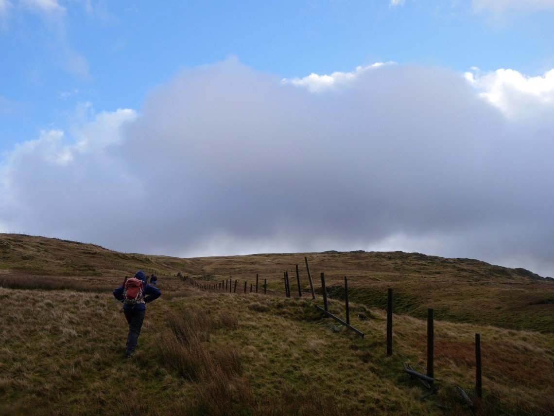
The wind is now helping us up the hill.
Although we had a few drops of wind blown rain for most of the morning as we reached Tarn Crag we had quite a heavy shower for fifteen minutes.
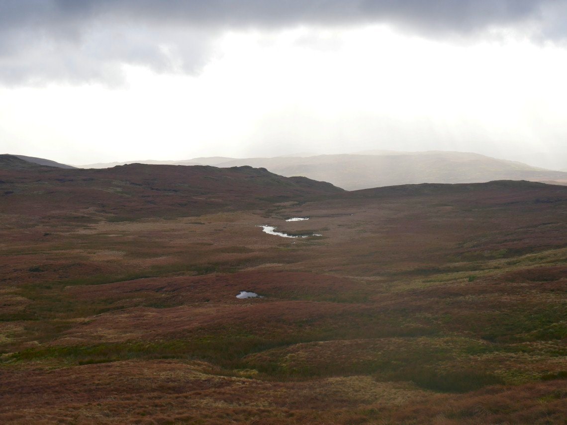
Unusually there actually is a tarn in Greycrag tarn.
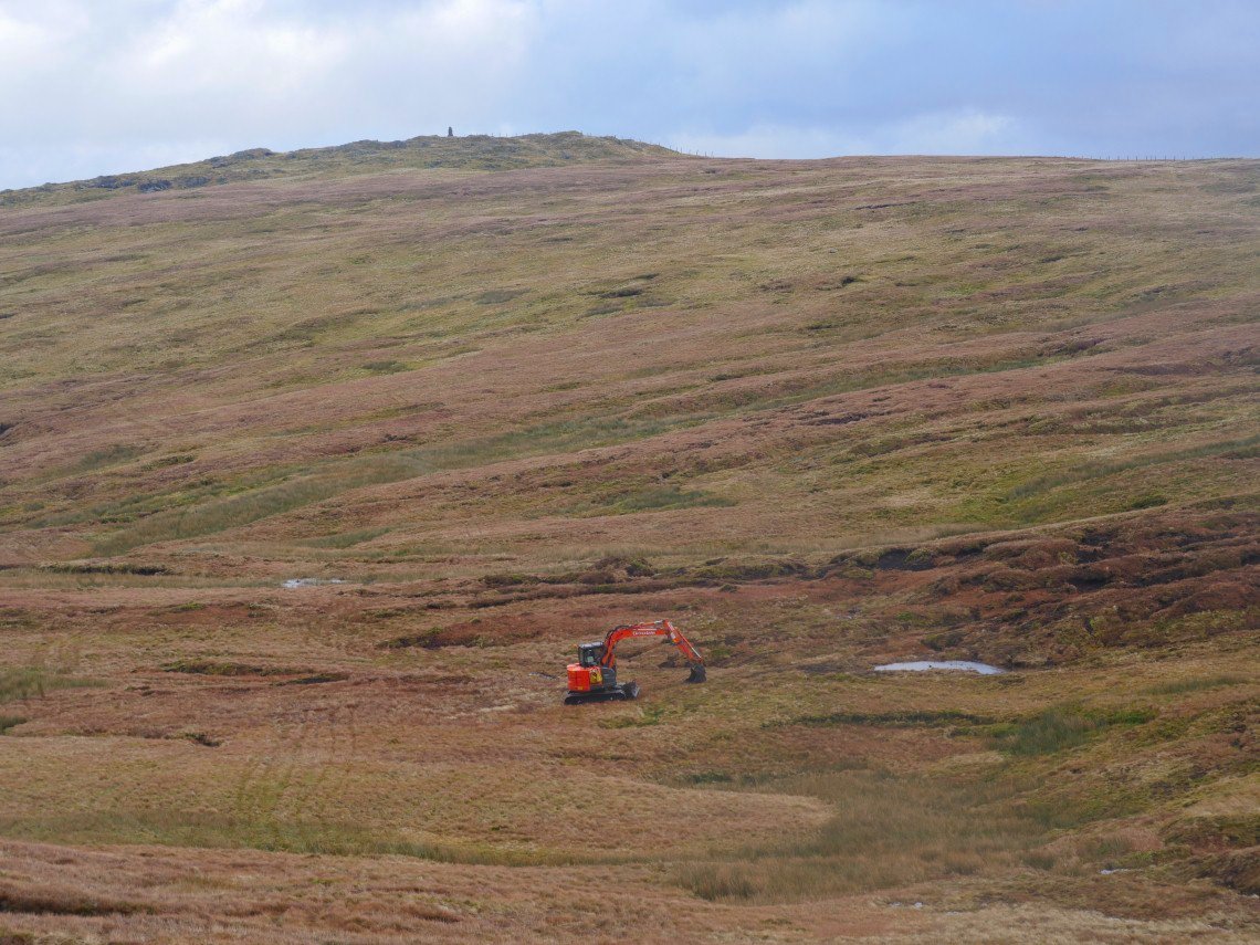
And even more unusually there is a digger just below Harrop Pike.
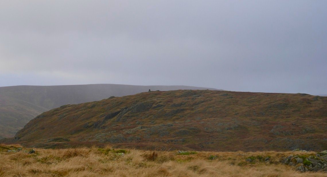
Looking back to the survey tower and Tarn Crag.
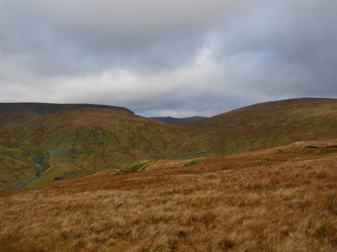
Bannisdale is getting a little sunshine.
The wind had died down as we crossed to Grey Crag but it started blowing even stronger as we reached the top.
Morecambe bay shining in the sun.
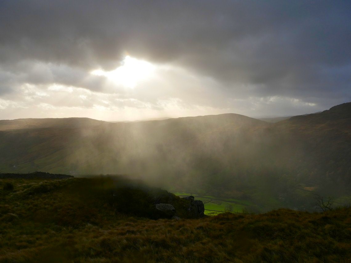
A rain storm being blown along Longsleddale.
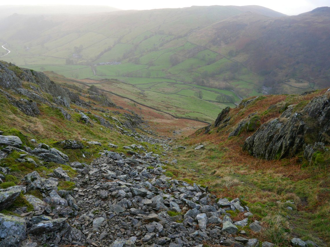
The steep gully leading back to Sadgill.
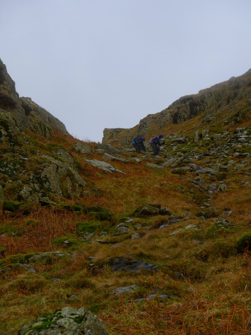
Sue and Lynn tread very carefully as the wind was doing it's best to trip you up.
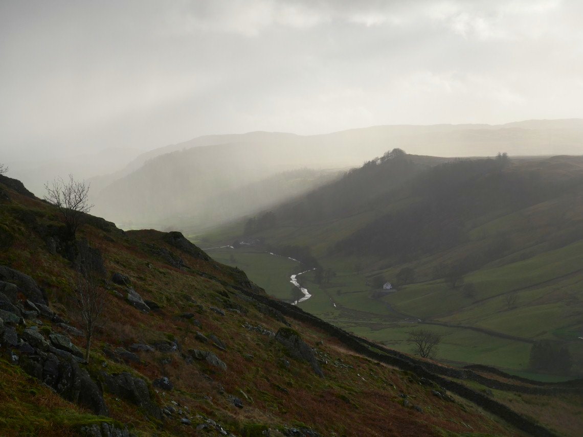
The showers move of along the valley.
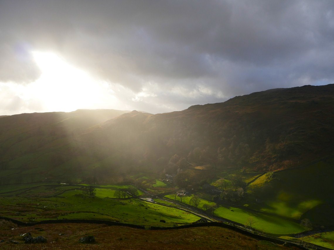
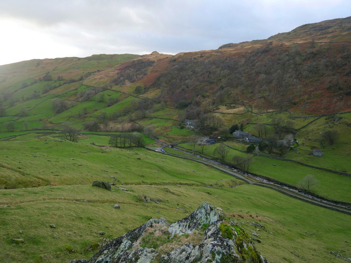
Lovely light over Sadgill.
A look up the valley from just above the steep field.
And looking down the steep field.