WWW.KARLSWALKS.CO.UK
PICTURES AND TRIP REPORTS FROM MY WALKS IN THE ENGLISH LAKE DISTRICT
|
|
|
|
My first drive to exercise today, and not wanting to visit any "honeypots" I headed for the wide open spaces of the Howgill fells. I found a route that didn't pass through any farms or even any gates.
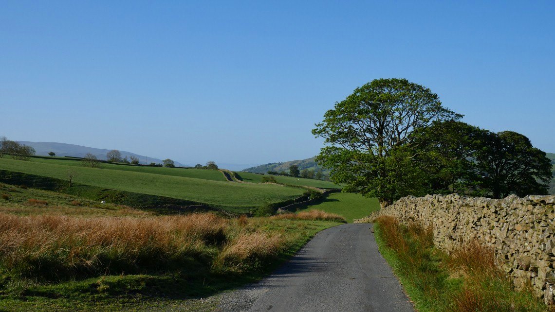
There is a large parking area on the very narrow Fairmile road ( some parts of which date back to Roman times ) This is looking along the road to Fairmile Gate on a beautiful bank holiday Monday..
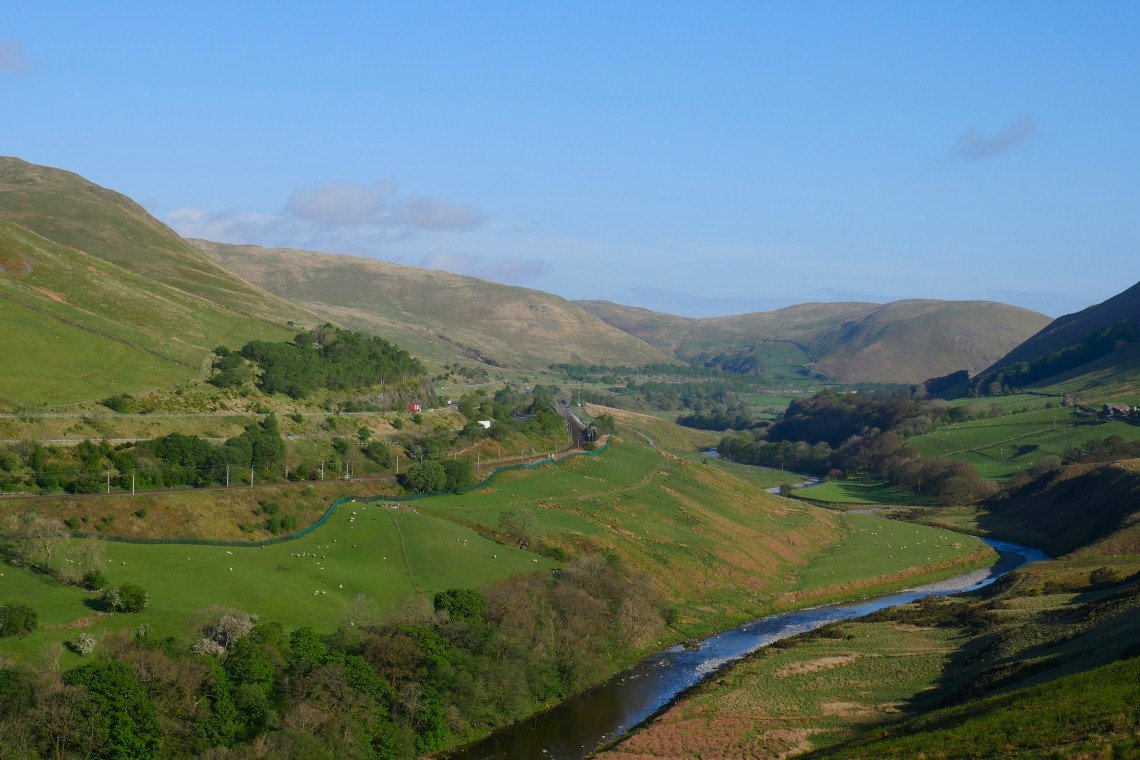
Looking down to the river Lune, the railway and the M6 from where I leave the road headed for the col of Back Balk to pick up a good path up the more gentle side of Linghaw.. There looks to be a path straight from the parking area directly up the side of Linghaw but it's to early in the day, (and to early in the post lockdown fitness recovery ) for any direct ascents.
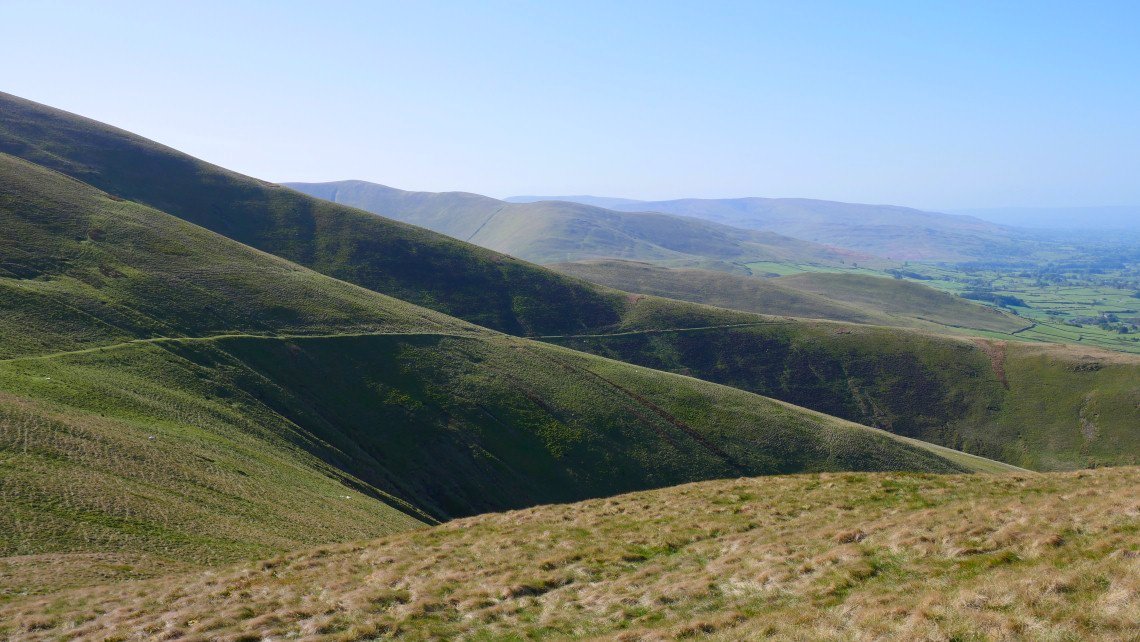
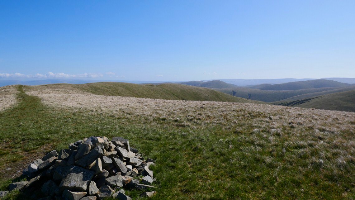
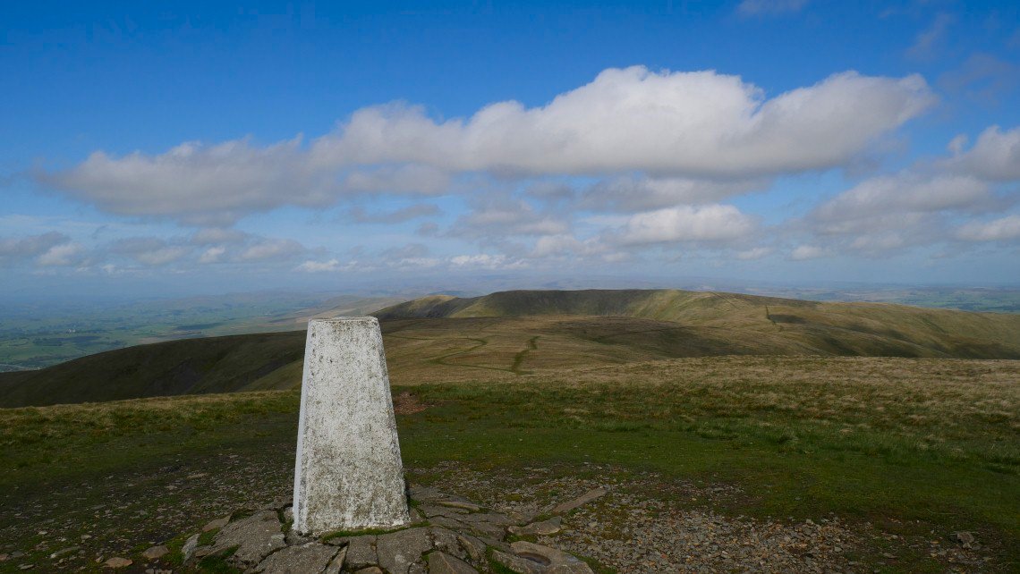
Dillicar Knott is the top with the mast and the top to the right is Greyrigg Forest which I visited in March.
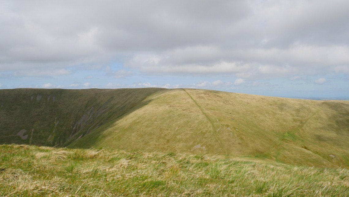
Crossing the unmarked top of Linghaw and I have to lose some height before the start of the long pull to Fell Head. This is my first time walking in the Howgills but the hills did remind me very much off the back o' Skidda fells and I did get the same feeling of although your destination looks a long way away it's surprising how the time it takes to get there is shorter than you think.
This lovely balcony path is to be my way back to the car when I return to the col between Linghaw and Fell Head.
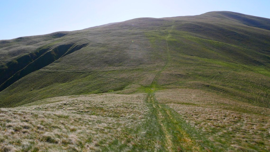
There is the col, I'll be coming in from the left later in the day.
The view back with the top of Linghaw visible. Once up here you get that "walking along on the top of the world" feeling.
.
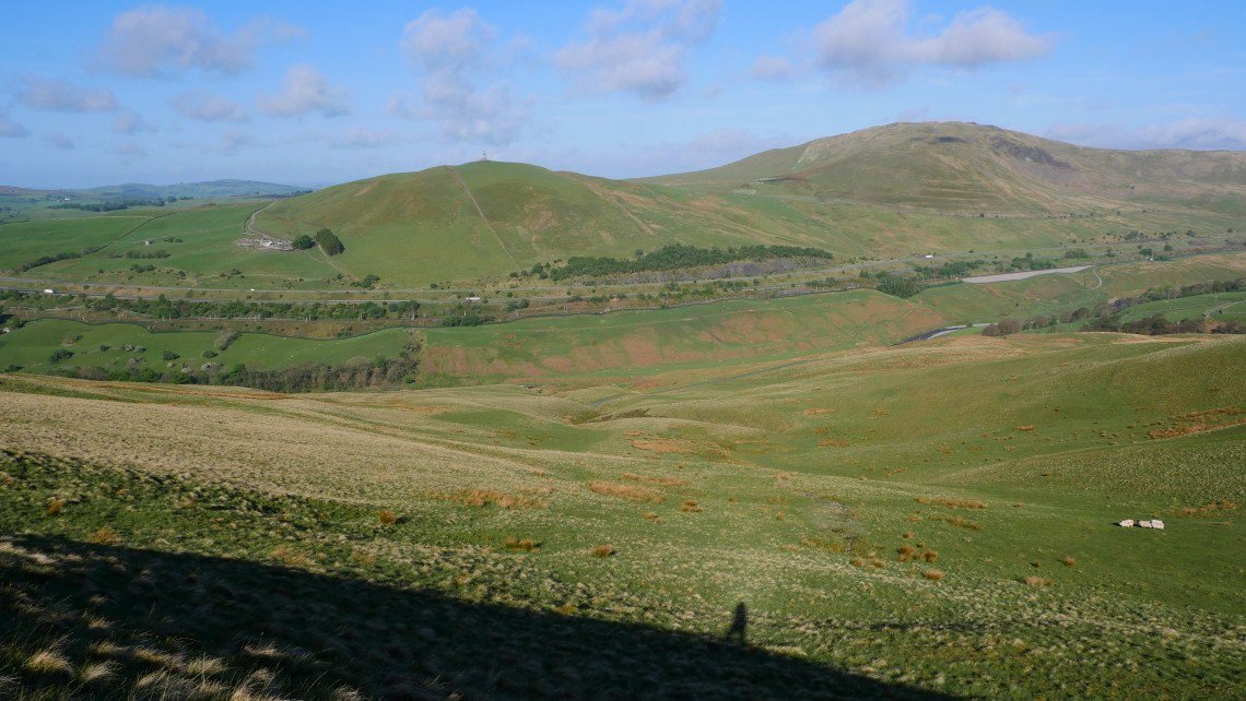
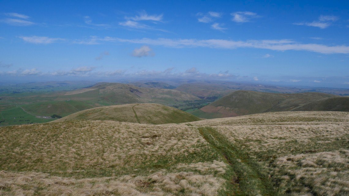
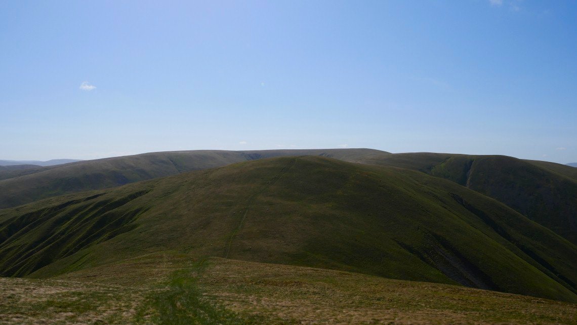
You can just make out the trigpiont on The Calf which is ( just about ) the highest of the Howgill fells.
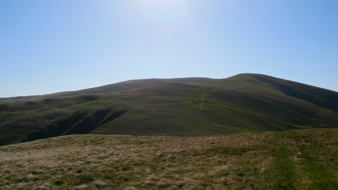
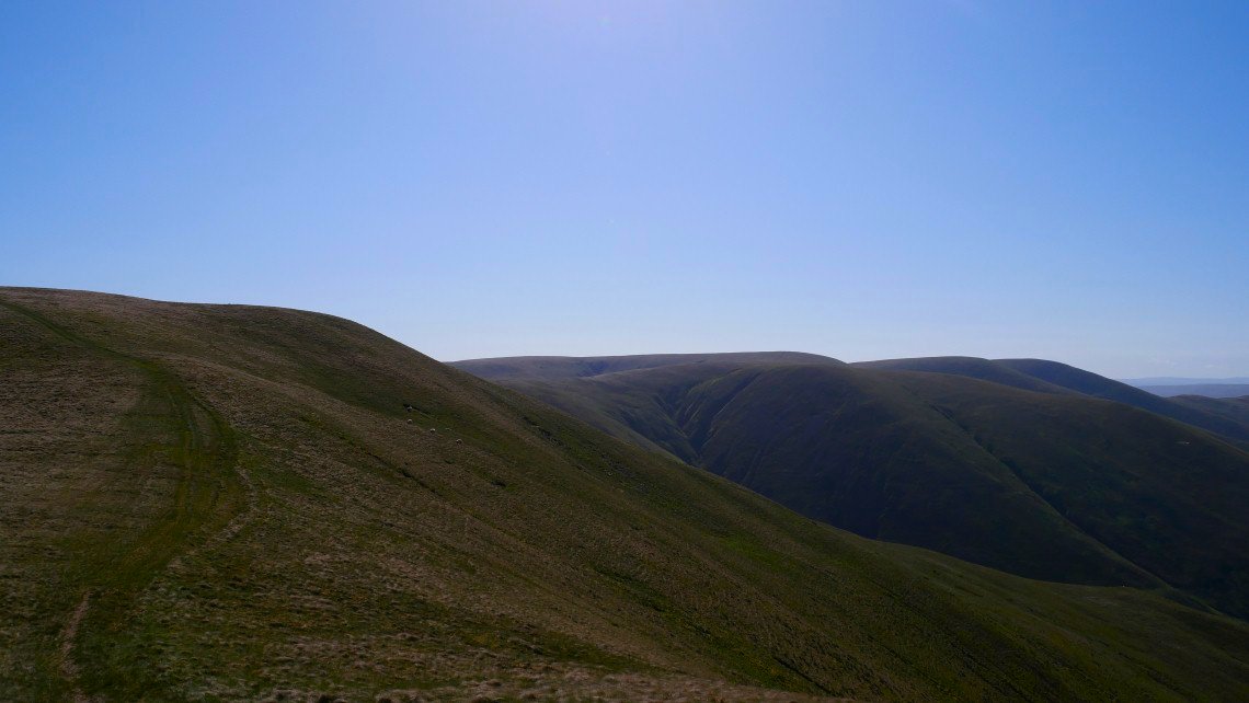
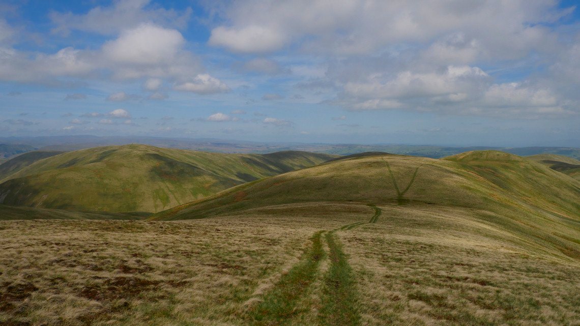
On Fell Head now about to follow the wonderful high level promenade to Breaks Head.
I set off quite early in the day so the sun hasn't had time to burn off the morning haze but I can see Borrowdale in Westmorland with the wooded Mabbin Crag above. You can see the fire break through which the path passes to Ashstead Fell..
Unfortunately I now have to lose and then regain a couple of hundred feet, but again it's bark is worse than it's bite and I'm soon on to Bush Howe from where it's a fairly gentle uphill walk to the Calf.
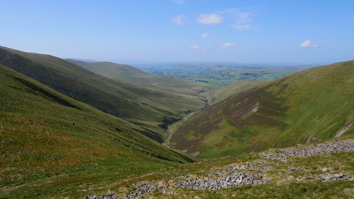
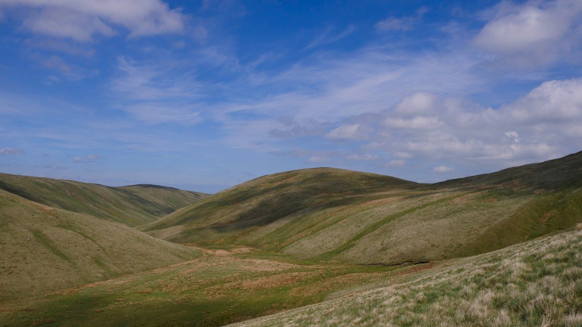
The valley of Long Rigg Beck.
On to the Calf, the highest of the Howgill Fells at 676 mtrs. I retraced my steps as far as Bush Howe.
From where I could see a path shooting off to the right across the hillside which is not on the map heading in the direction that I needed to go.
Following another quad bike track down to Over Sale from where I had intended to carry on to Docker Knott ( the next top along ) but once on the top of Over Sale I was overcome with lazyitis and elected to cut down the hillside to Blakethwaite Bottom.
Docker Knott and Blakethwaite Bottom.
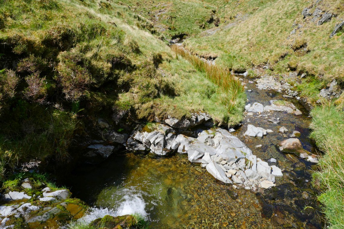
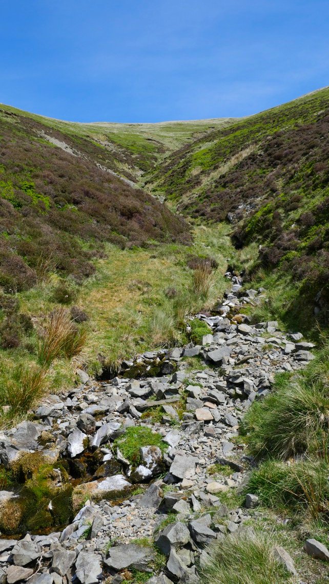
I thought Great Ulgill Beck was a lovely spot with a couple of nice cascades and pools.
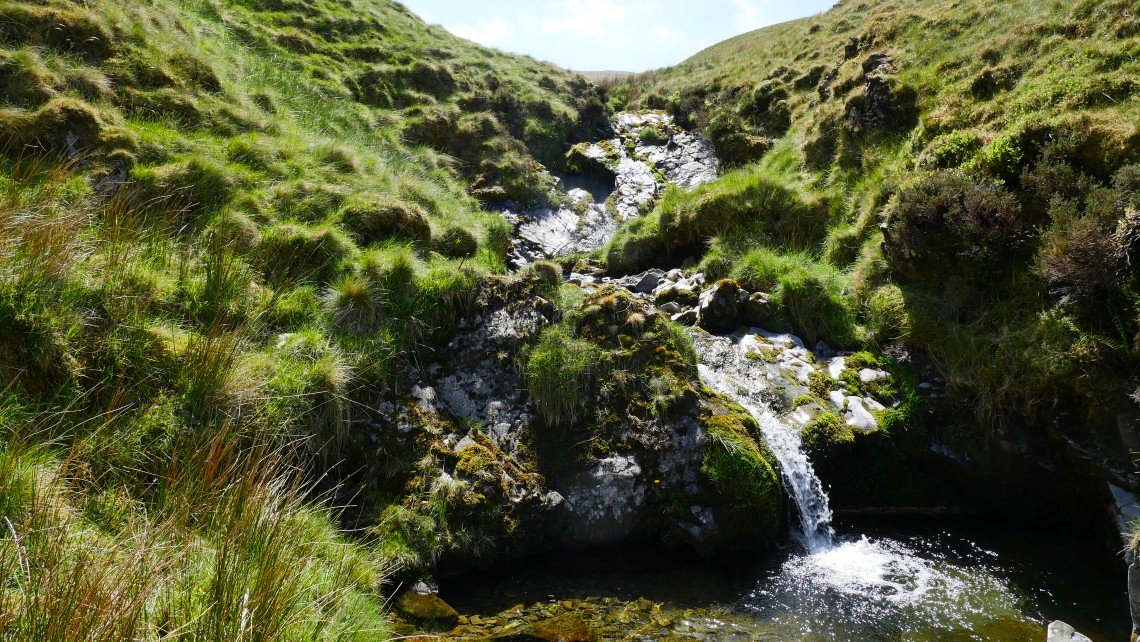
Lovely pool and falls in the beck. I spent a very nice few minute relaxing by the water.
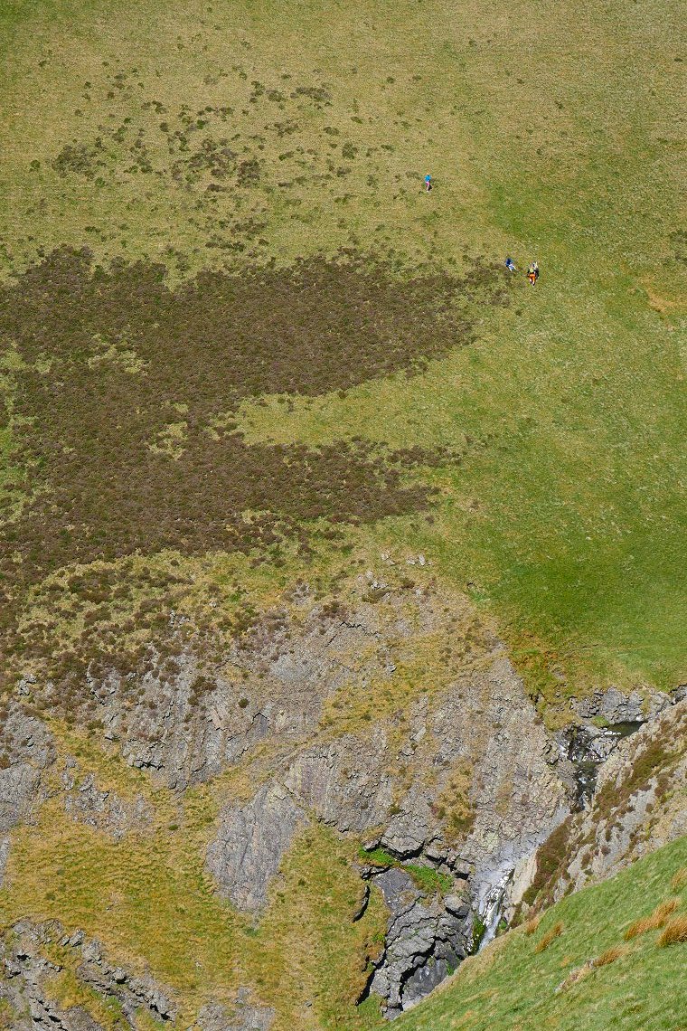
After leaving the beck there is a steep little climb to the path contouring along Force Brow and the valley of Carlin Beck. These walkers have taken to the steep slopes to escape the valley where it meets the waterfall. It does look a bit precarious
.
Then again my path is not exactly the safest I've ever walked on. Amazingly a fell running family of Mum, Dad and two teenage daughters came bounding along here without a care in the world. I social distanced myself up the hillside and hung on to the grass.
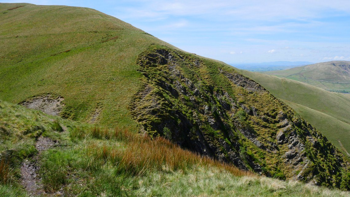
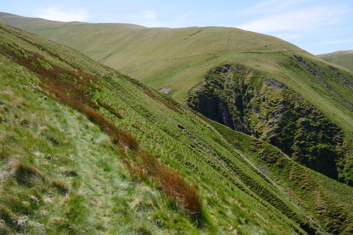
The bare bones of the Howgills show through above Black Force waterfall.
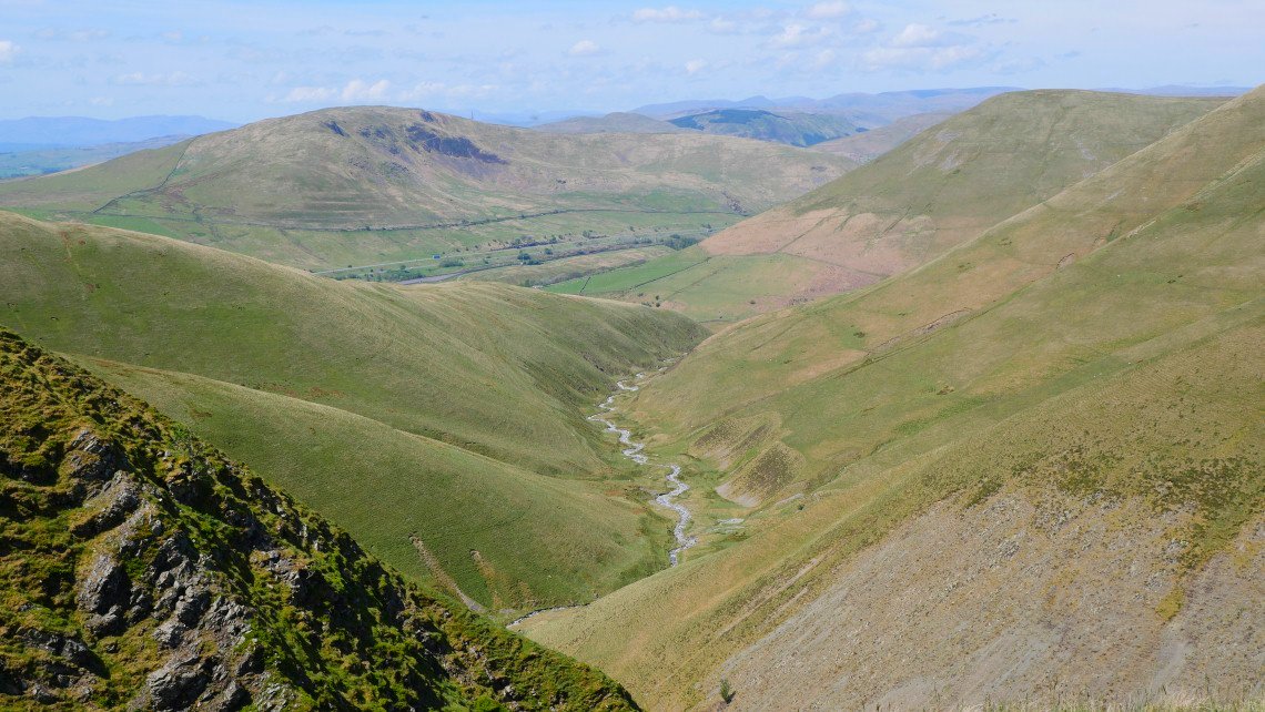
Looking west along Carlin Gill
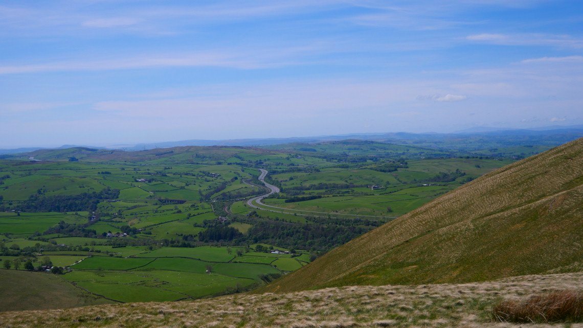
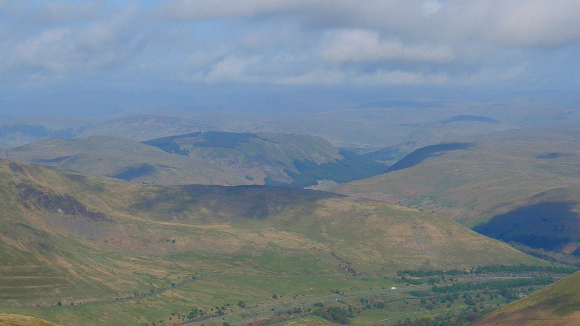
The M6 snaking it's way through the farm land to the south. Black Comb just visible top right.
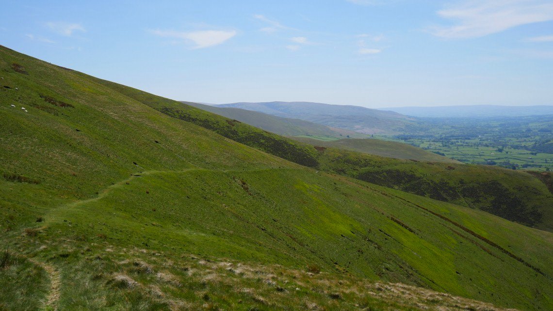
On to the path contouring around the western slopes of Fell head.
Passing the very dry gully of Blind Gill.
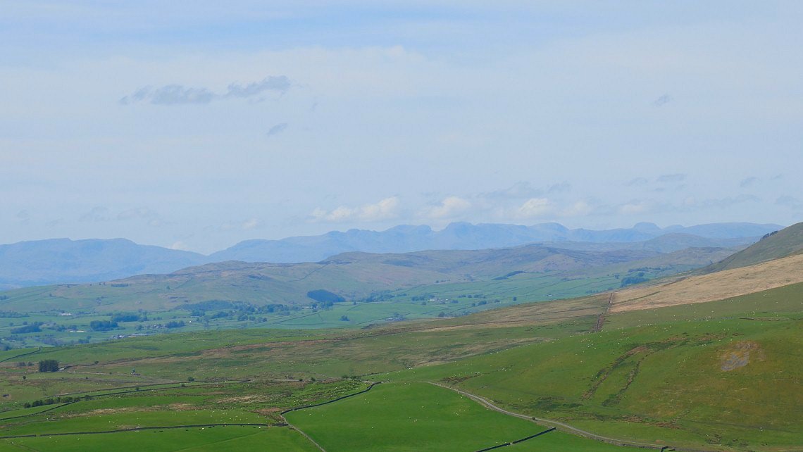
Scafell, the Pike and Great End in the centre of the picture with the Coniston group to the left and the distinctive "muffin" top of Great Gable to the right..
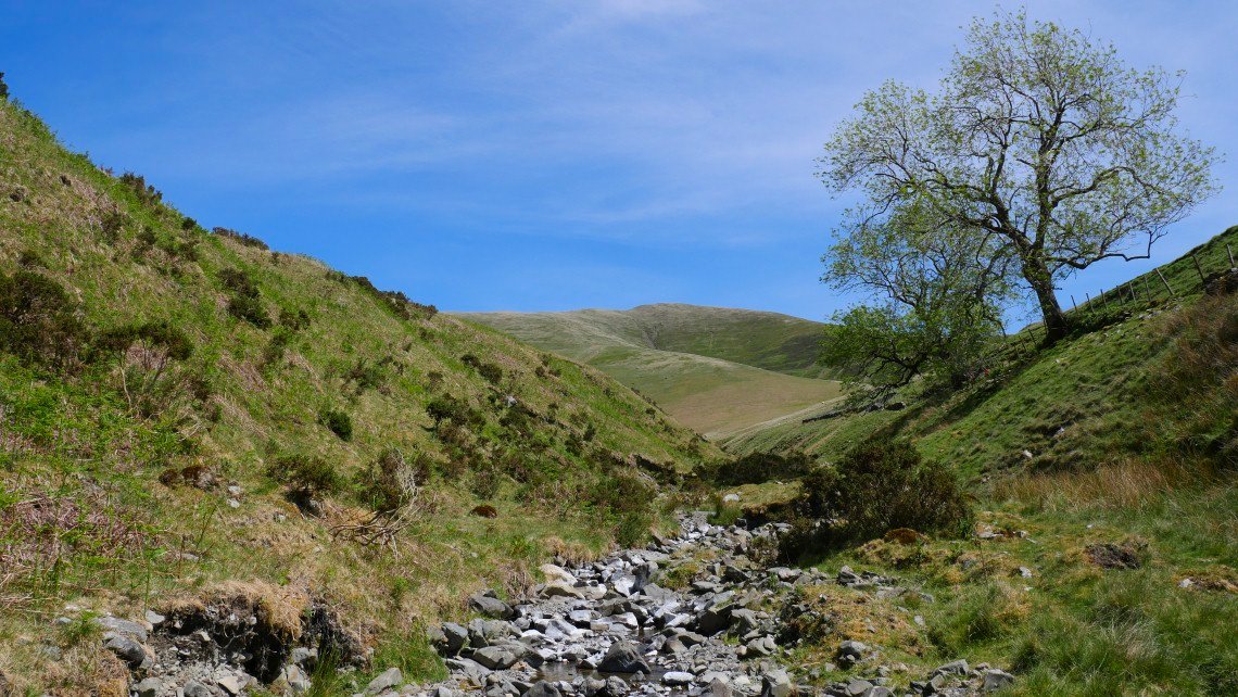
Nearly back to the car now after coming down Whin's End to Fairmile Beck and then the road.