WWW.KARLSWALKS.CO.UK
PICTURES AND TRIP REPORTS FROM MY WALKS IN THE ENGLISH LAKE DISTRICT
|
|
|
|
||||
|
|
|
|
|
|
|
E-mail - karl@karlswalks.co.uk |
Sue and I spent three days camping at Borrowdale youth hostel, arriving after lunch on Tuesday we parked up and walked from the hostel heading out on the short walk to Castle Crag..
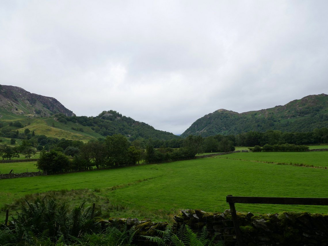
The weather had been awful on the drive up but thankfully it improved as we traveled west along the A66. Castle Crag is on the left here with King's How on the right.
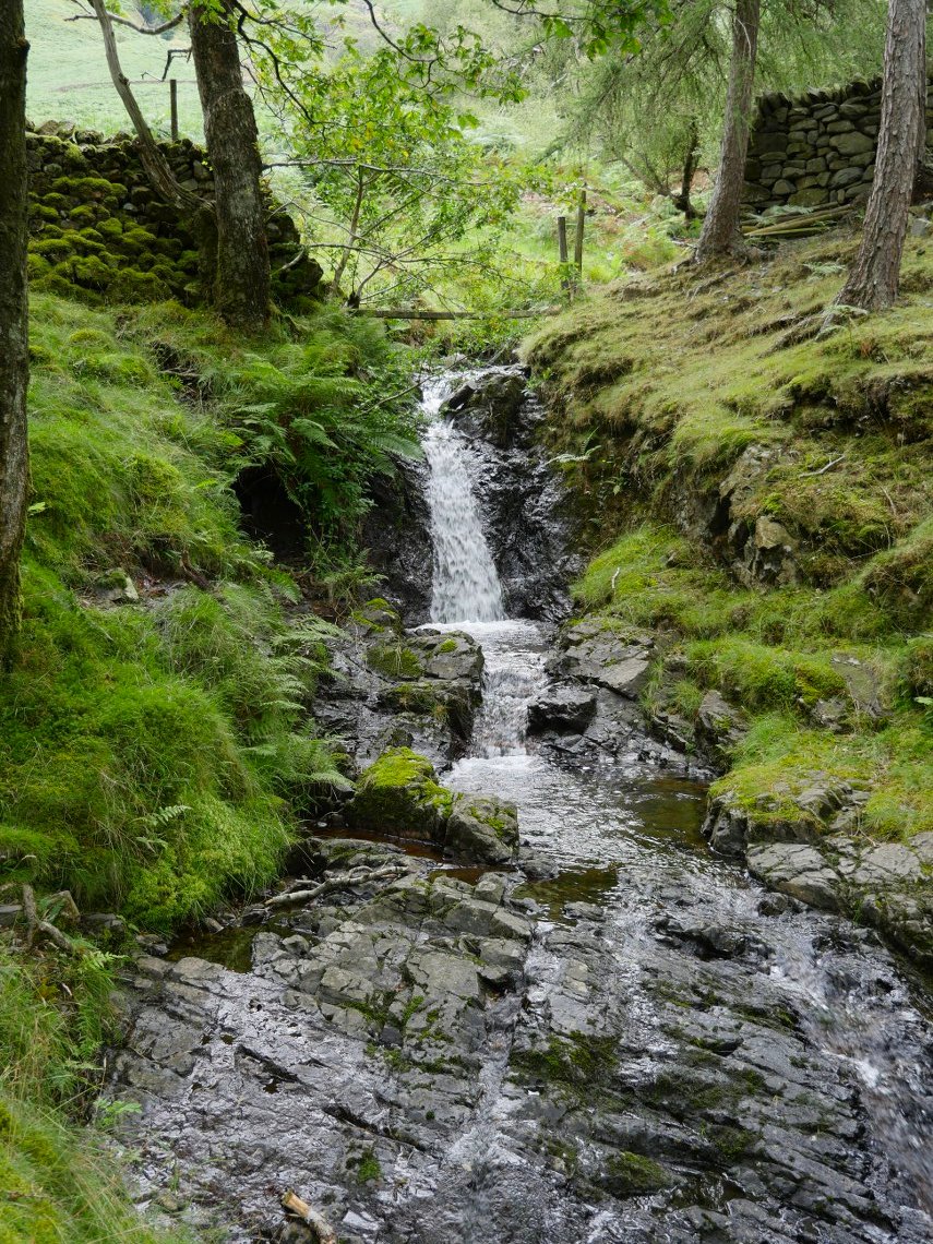
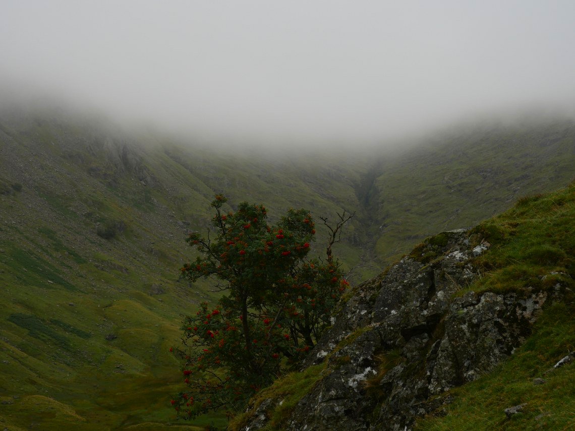
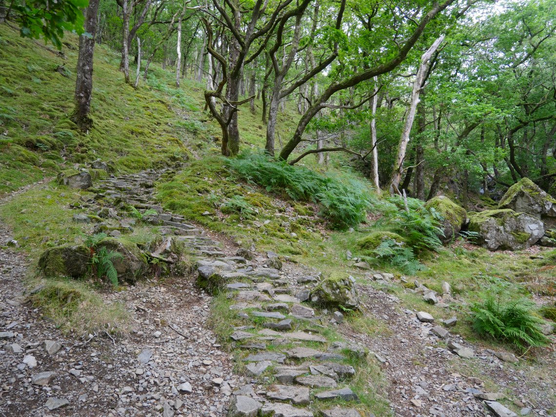
The path leaves the hostel grounds and winds its way up through Johnny Wood passing above Scaleclose Force. This is the inflow stream to the falls as the falls themselves are very hard to see through the summer vegetation.
Eventually our path met the main track running along the valley. Derwentwater is ahead with Castle Crag on the right.
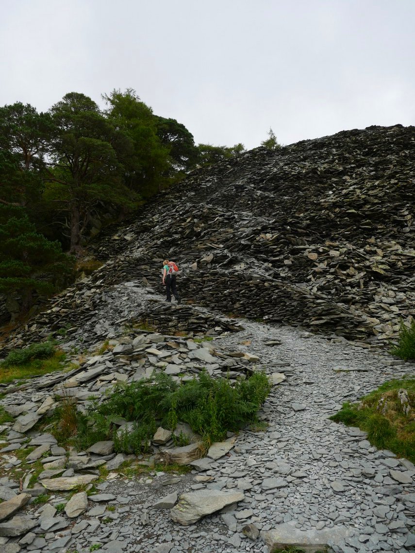
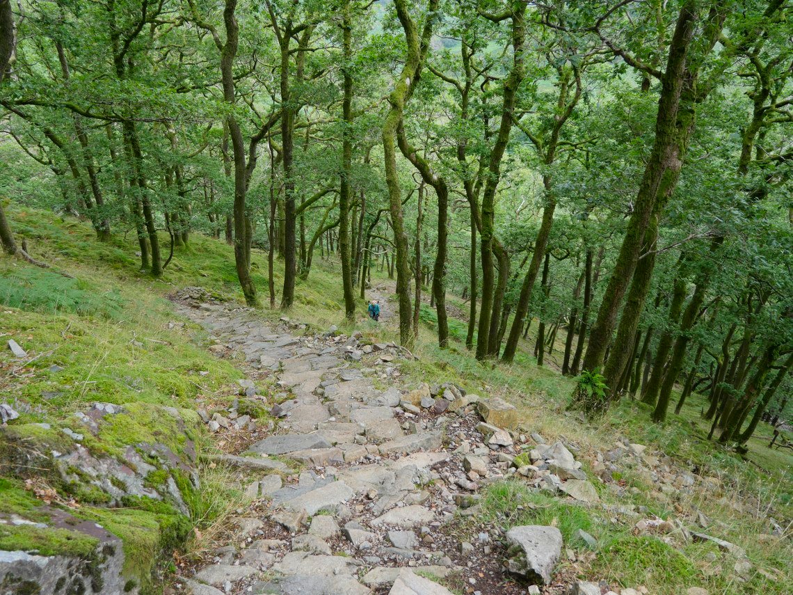
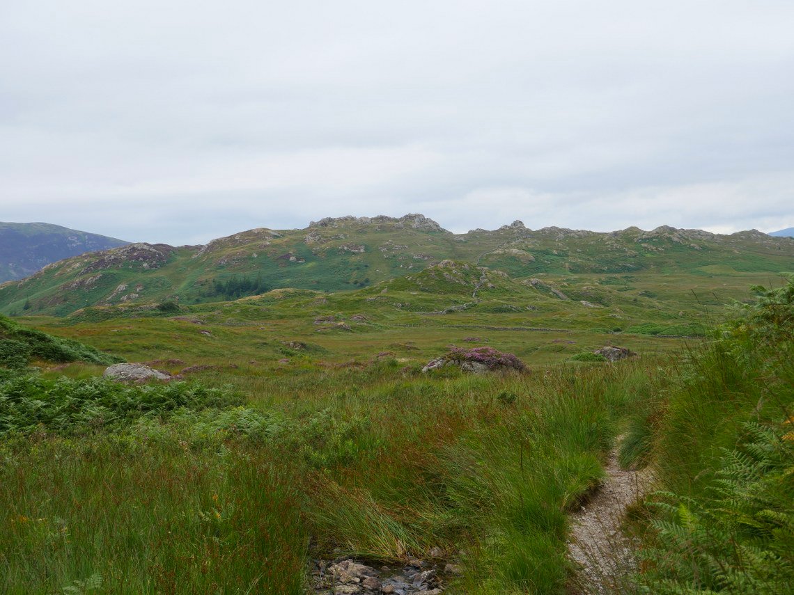
Climbing the slate path.
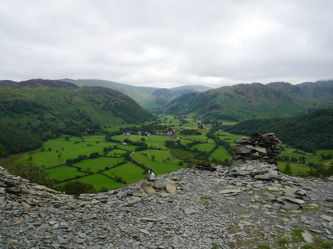
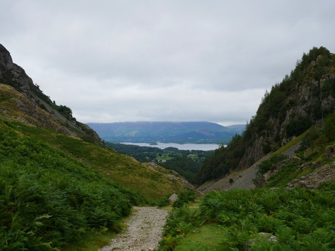
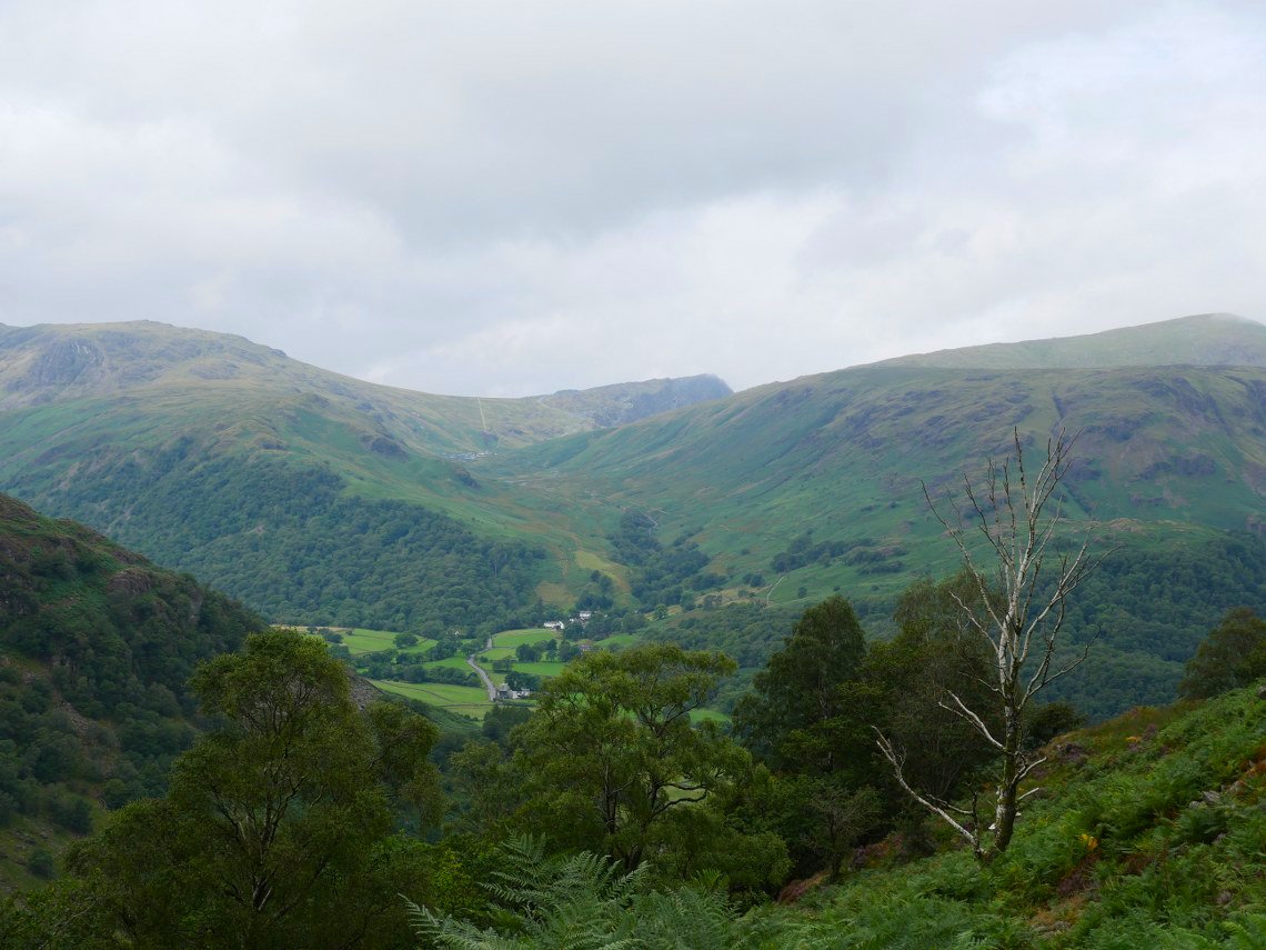
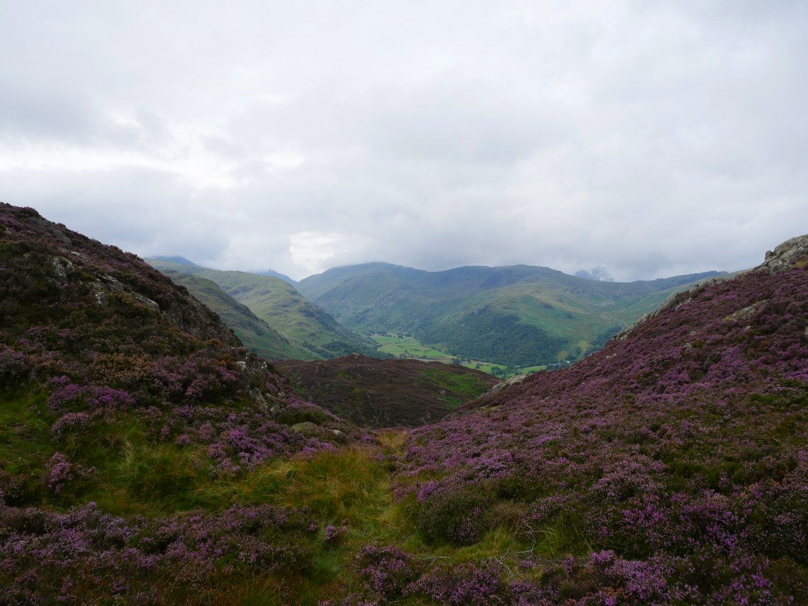
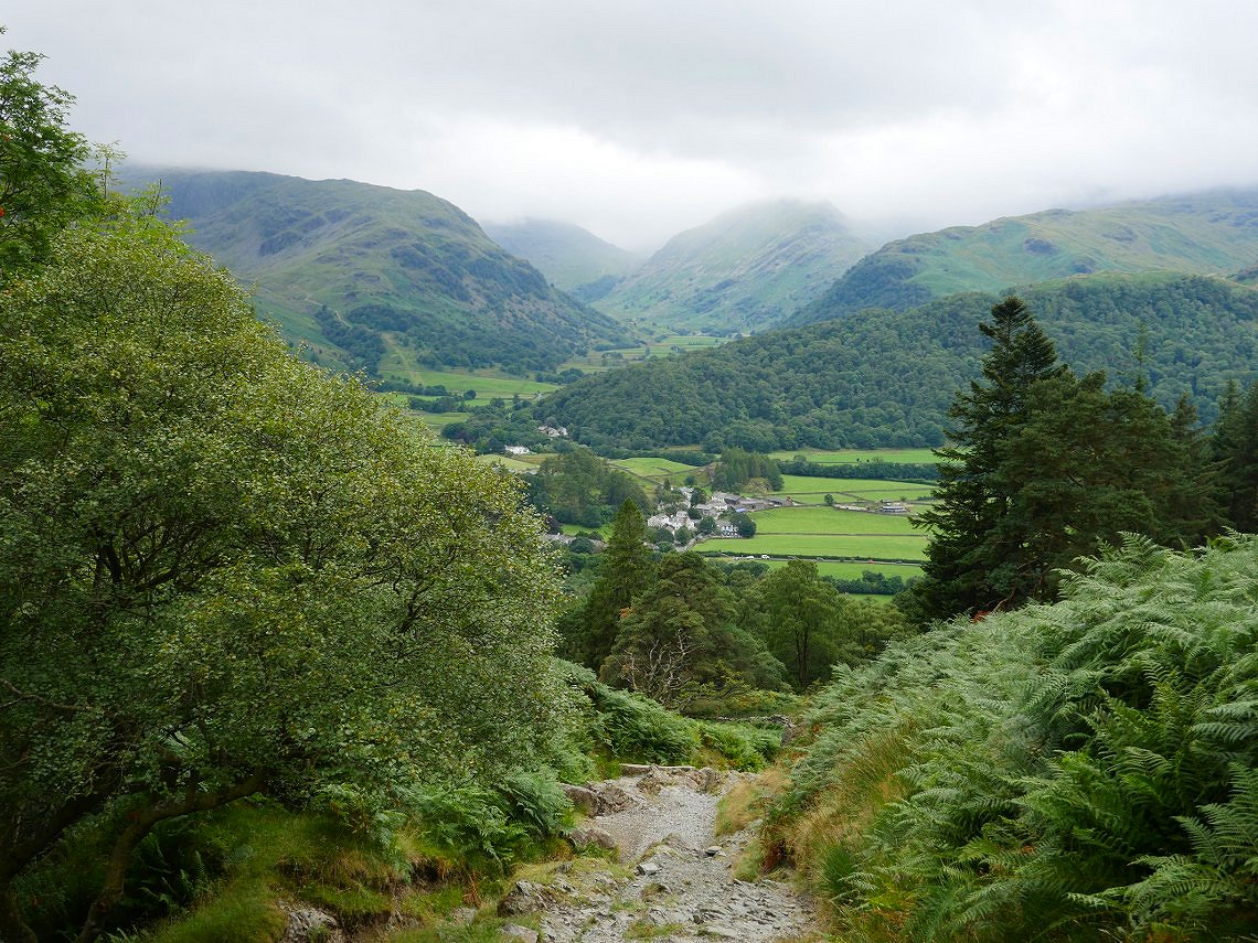
At the top of the slate path you get the lovely view into upper Borrowdale.
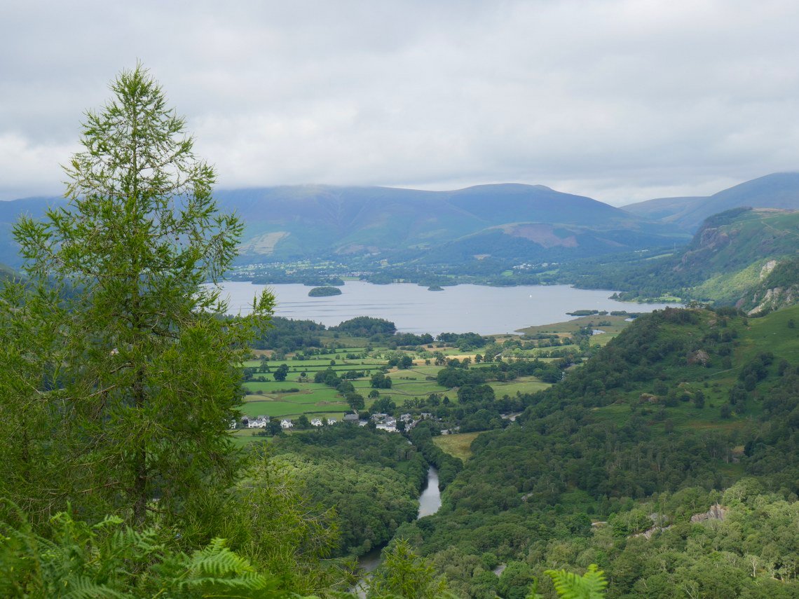
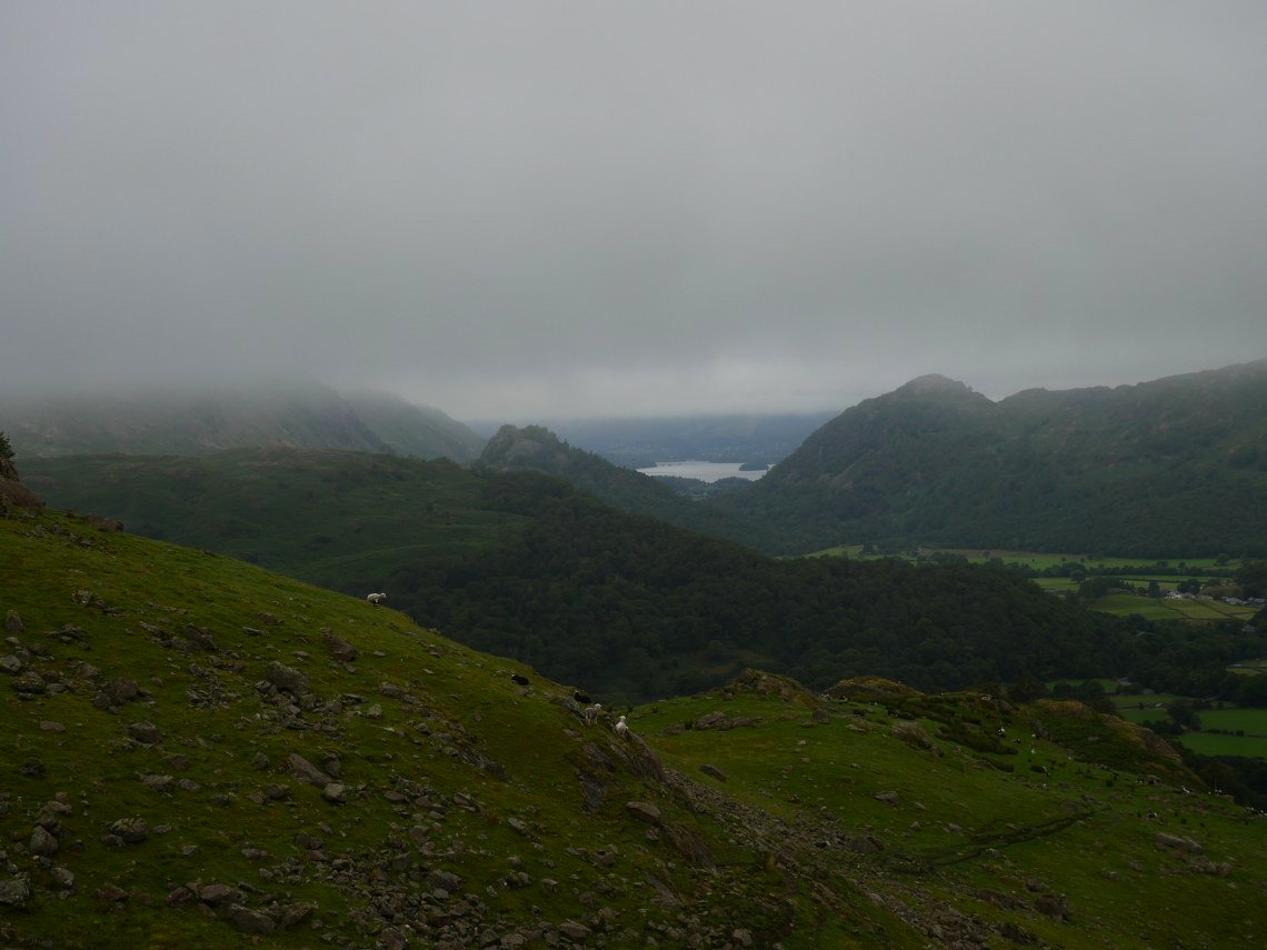
And once at the top ( which was heavily populated by flying ants) you have the view northwards over Grange to Derwentwater, Keswick and Skiddaw. ( Although you cant see much of Skiddaw today )
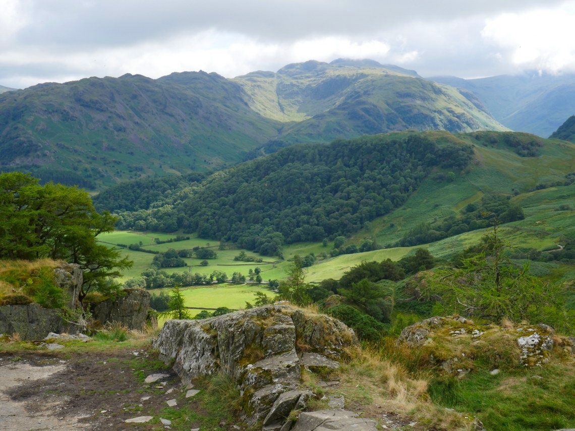
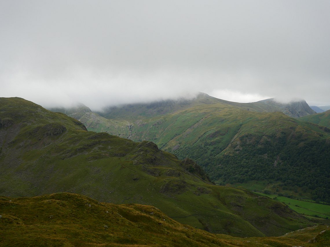
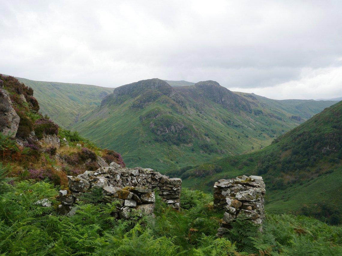
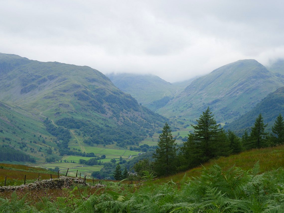
Looking back to the south the sun is lighting up our planned route for tomorrow. We plan to go up Thornythwaite fell which is on the right passing Combe Head which is in sunshine to reach Glaramara which is just about visible in the cloud. Our return route is the bumpy ridge of Rosthwaite fell seen here on the left..
Wednesday morning now and unfortunately yesterdays sun has gone and it looks pretty bleak on Thornythwaite Fell.
.
And it's no nicer looking back from low down on Thornythwaite Fell.
Combe Head is well covered today.
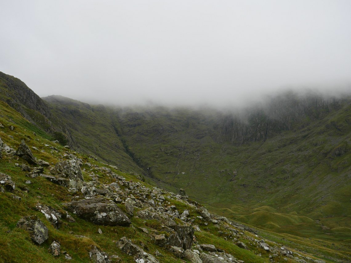
We were encouraged by what seemed to be lighter skies over Seathwaite but nothing came of it and instead the mist seemed to get thicker and we walked blind up to Glaramara and all along the tricky to navigate Roshthwaite Fell.
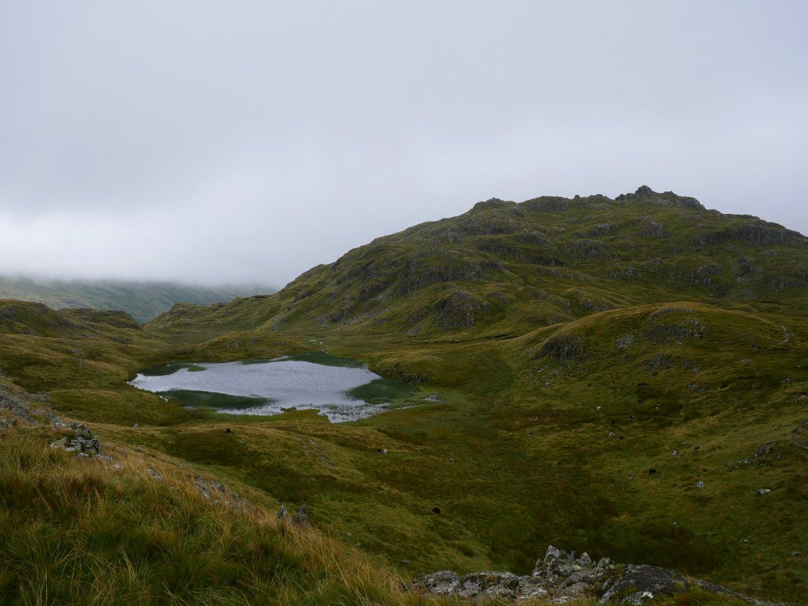
Then just as we were descending from Bessyboot the mist lifted allowing us a view of Tarn at Leaves and Rosthwaite Fell.
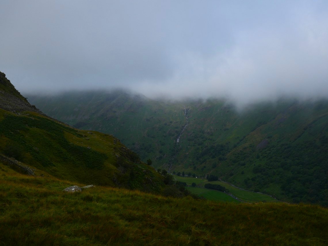
Our route up and Sourmilk Gill beyond are clearer now but the mist is still hanging around Grey Knotts and Brandreth.
Descending back to the valley.
Skiddaw is still covered but things look a lot brighter than this morning.
Although Combe Head and Glaramara are still hidden.
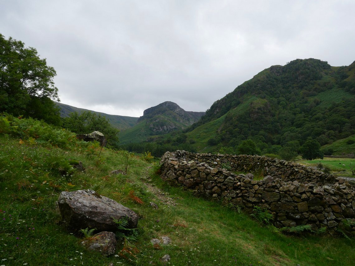
Thursday was an altogether better day as we set off to Dock Tarn. Here Eagle Crag is seen from the large sheepfold situated just before the fork in the path which leads to the steep stone steps climbing Lingy End.
And here are the steps.
Looking down from near the top.
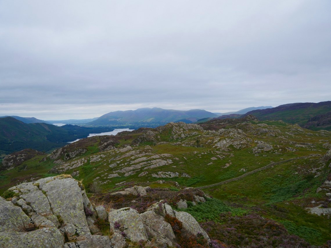
Much clearer view over to Honister and Dale Head today.
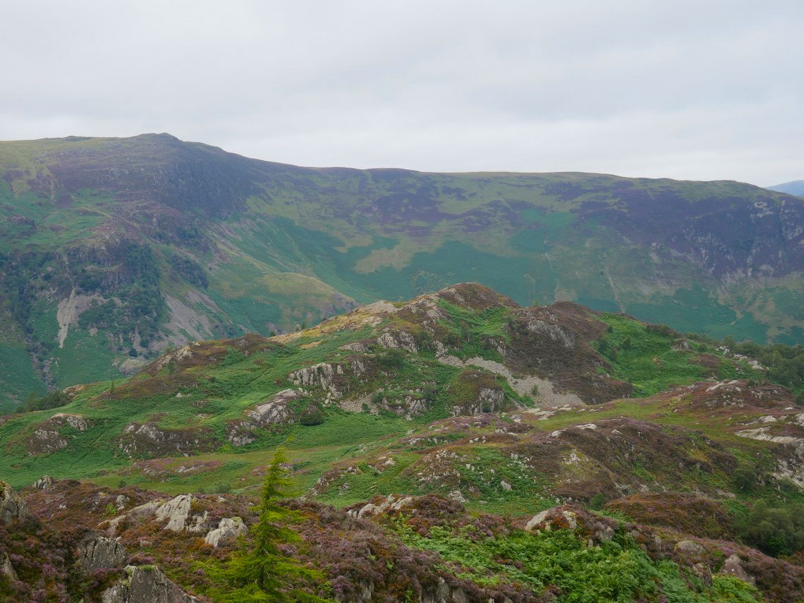
Eagle and Sergeant's Crags with High Raise behind..
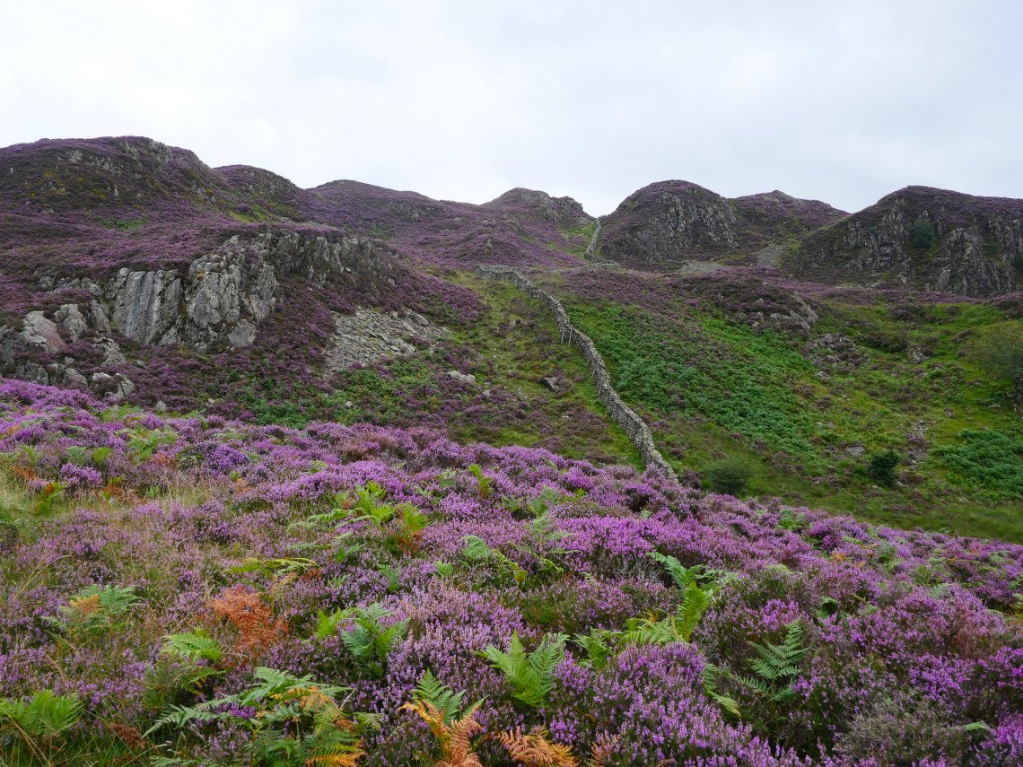
The ground around Dock Tarn is famed for its heather and even on a dullish day it was lovely to see.
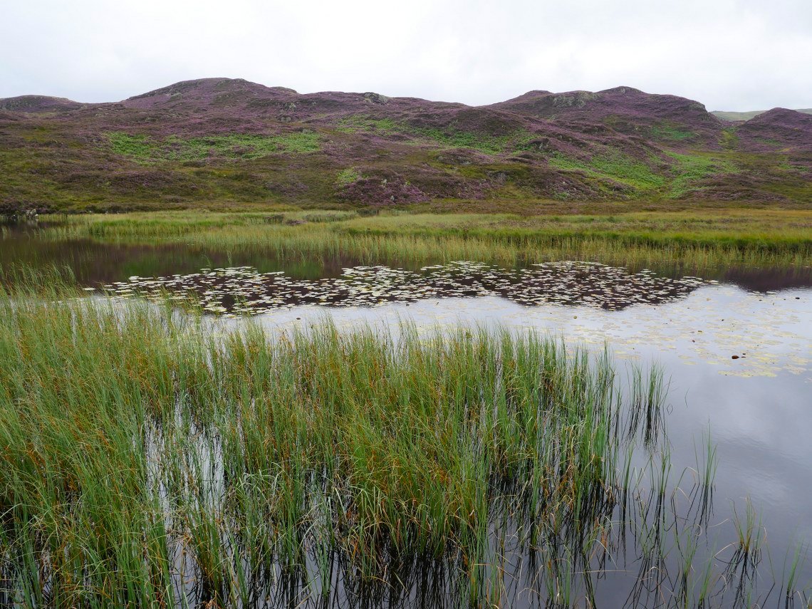
Dock Tarn
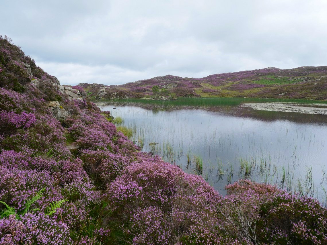
Walking along the wonderful path which hugs the shoreline.
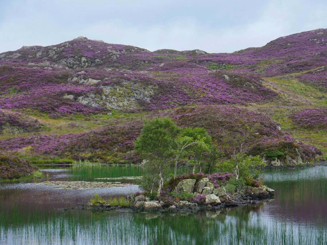
The island in the tarn complete with its own Chelsea flower show display.
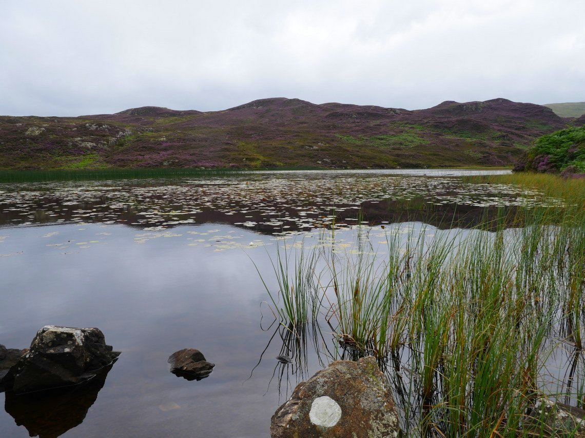
Lots of lily's in the tarn.
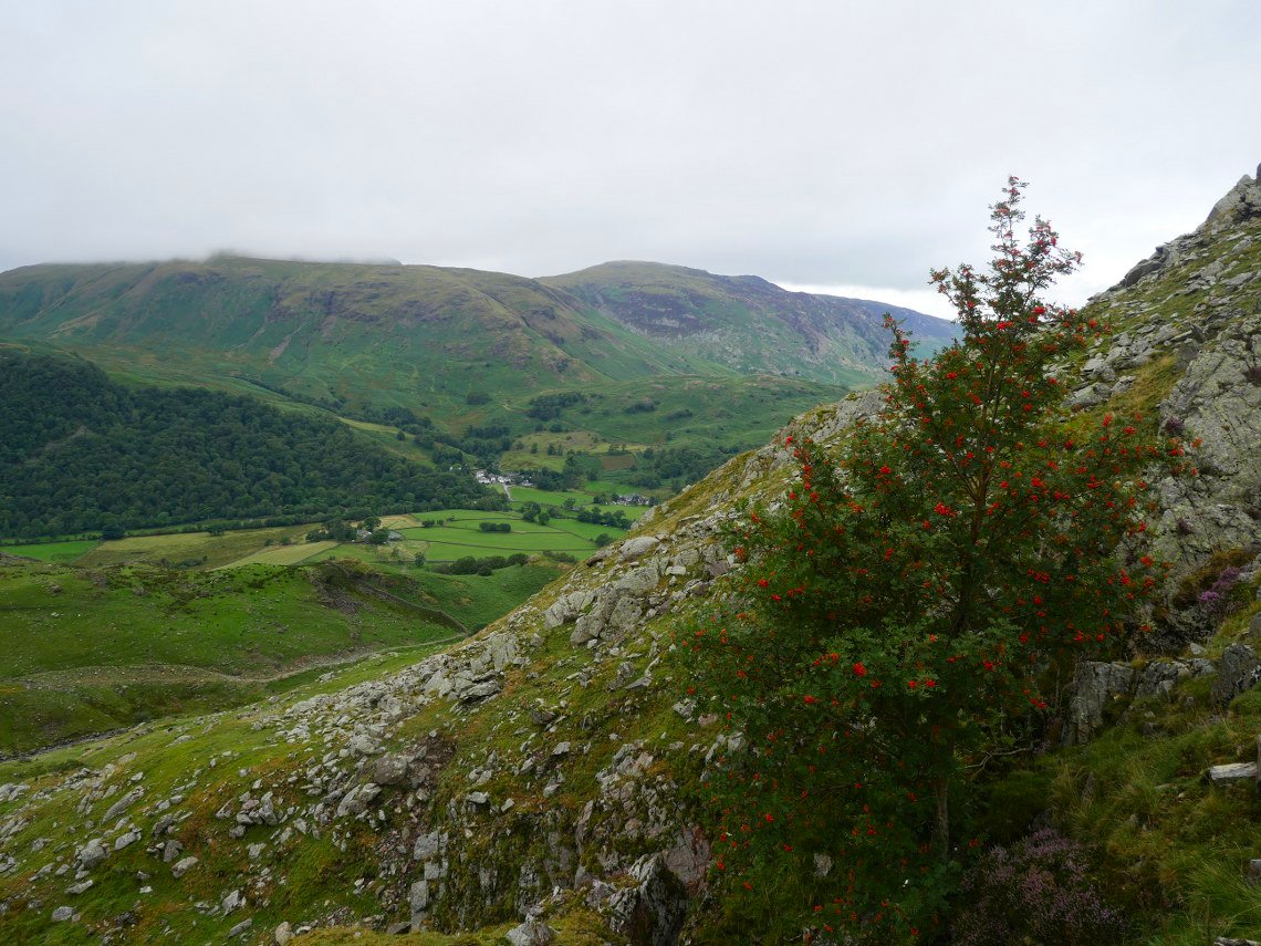
After passing the tarn we take the path leading around and up to Great Crag, a gap in the hills gives us a view of the Seathwaite valley and the fells above.
Looking down to Watendlath from Great Crag.
After leaving Great Crag there is a steep gully to descend then a boggy path to follow across to our next port of call, Brund Fell.
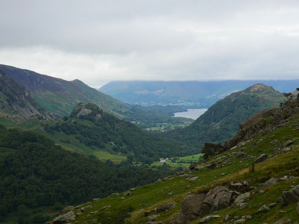
A closer view of the Seathwaite valley with Base Brown above to the right and Thornythwaite Fell to the left. Between the fells you can just about make out the path climbing up to Styhead with Seathwaite Fell in the mist beyond.
On to Brund Fell now and for the first time in three days Skiddaw is just about cloud free.
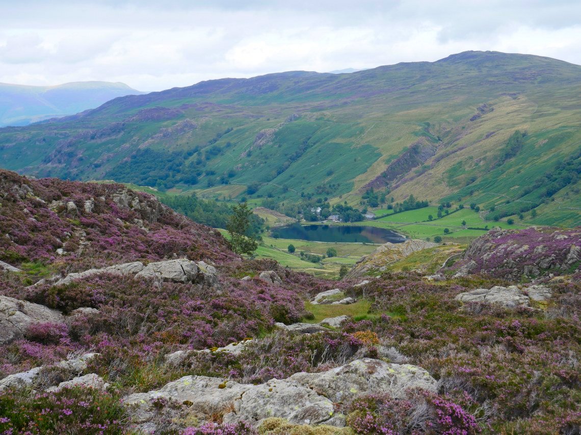
We contemplated going across to King's How but we had the drive home to think about and we hadn't taken down the tents so we gave it a miss this time, but if you have got the time I would recommend making the short trip across as it's a wonderful top in its own right.
On the path down to the valley now. Annoyingly the rain you can see over Base brown reached us just before we could get the ( dry ) tents down, but it only lasted about five minutes so we didn't get too wet.