WWW.KARLSWALKS.CO.UK
PICTURES AND TRIP REPORTS FROM MY WALKS IN THE ENGLISH LAKE DISTRICT
|
|
|
|
||||
|
|
|
|
|
|
|
|
E-mail - karl@karlswalks.co.uk |
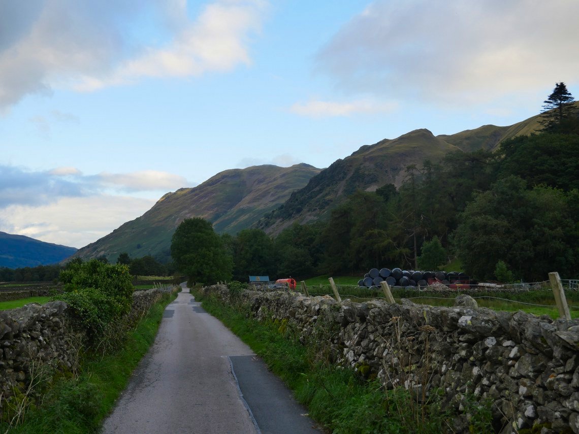
A walk this week to camp in a spot that I've had my eye on for quite a few years. I caught the train then the bus over the Kirkstone pass to the Hartsop road end from where I took the track to the bottom Of Angletarn Beck.
The climb up by the beck is probably my most favourite way to reach Angle Tarn, but I'm not going all the way to the tarn tonight, I'm heading for the rocky outcrop seen here on the right above the silage bales
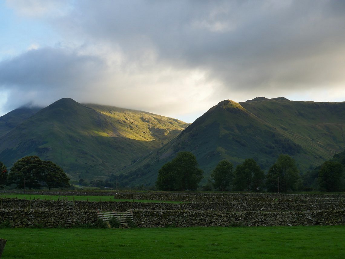
The setting sun lights up the flank of Red Screes.
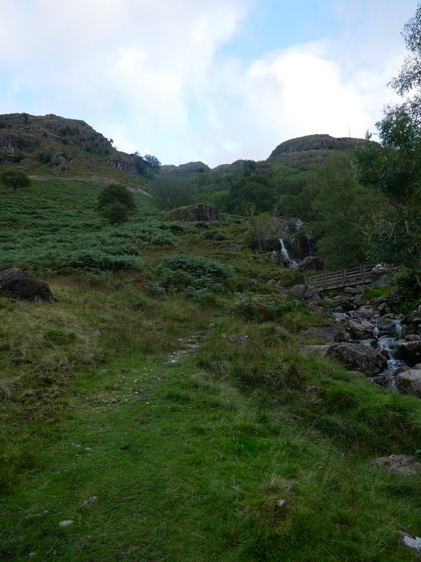
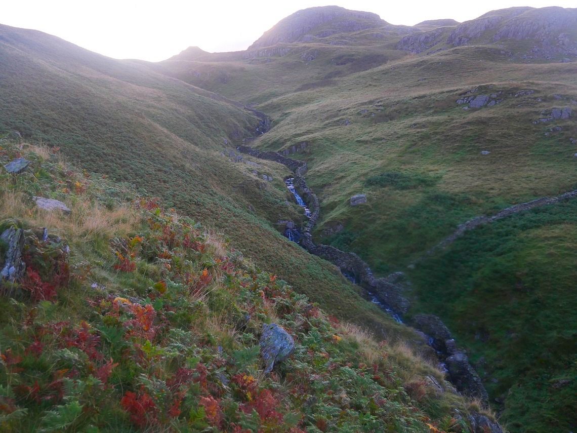
At the start of the climb now. There is a sketchy path up the left hand side of the beck passing the footbridge and the waterfalls.
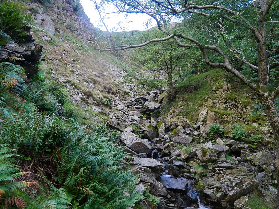
The gradient eases of after the falls but it's rough going on this bit.
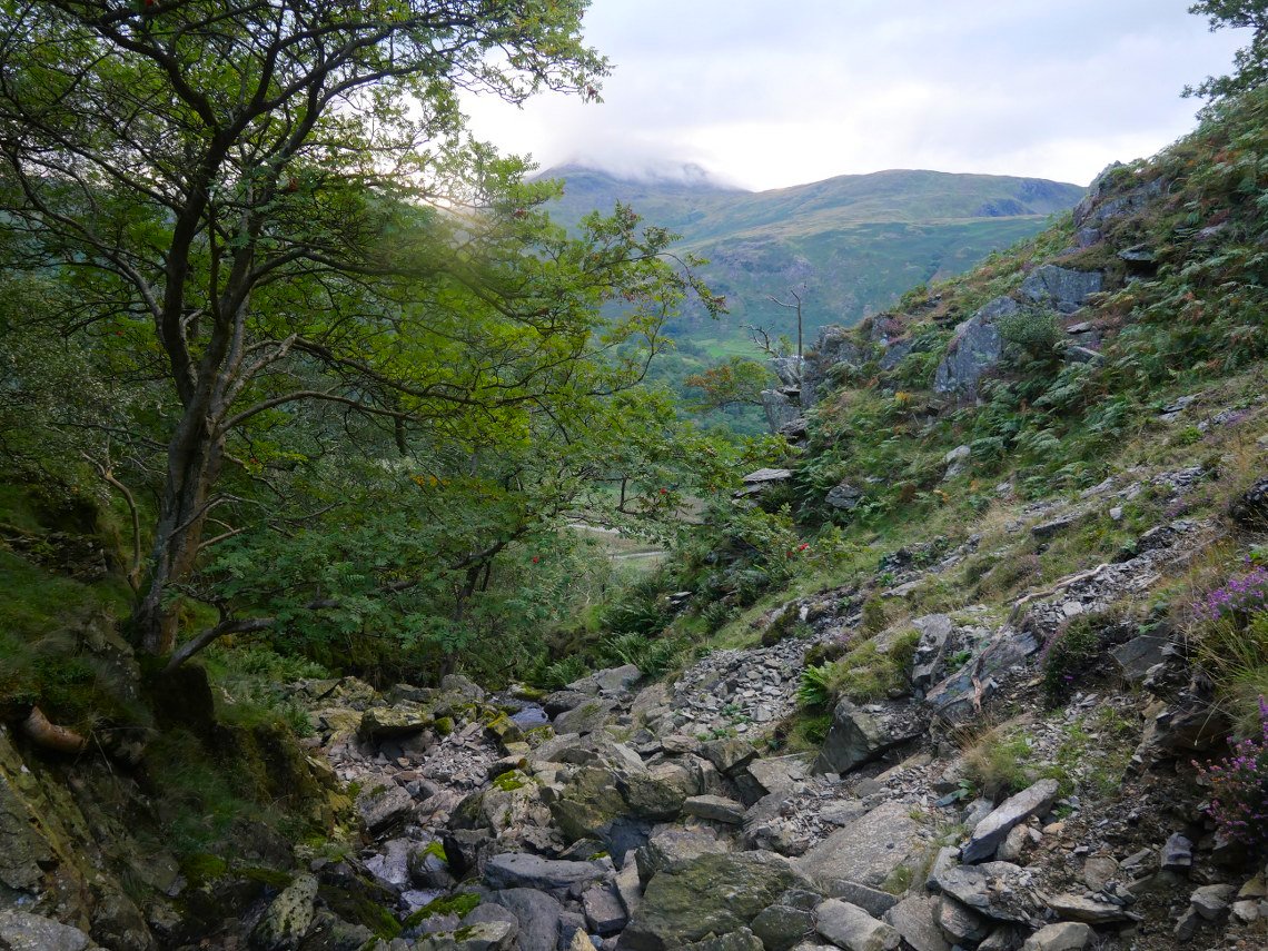
Looking down the rocky section.
And a wider view over to the sunlit Fairfield group of fells and St. Sunday Crag and Birks.
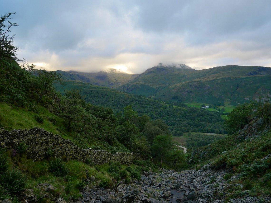
I usually keep to the left of the stream on this section but it is rough going so I've crossed over to take the ( comparatively ) easier path by the wall.
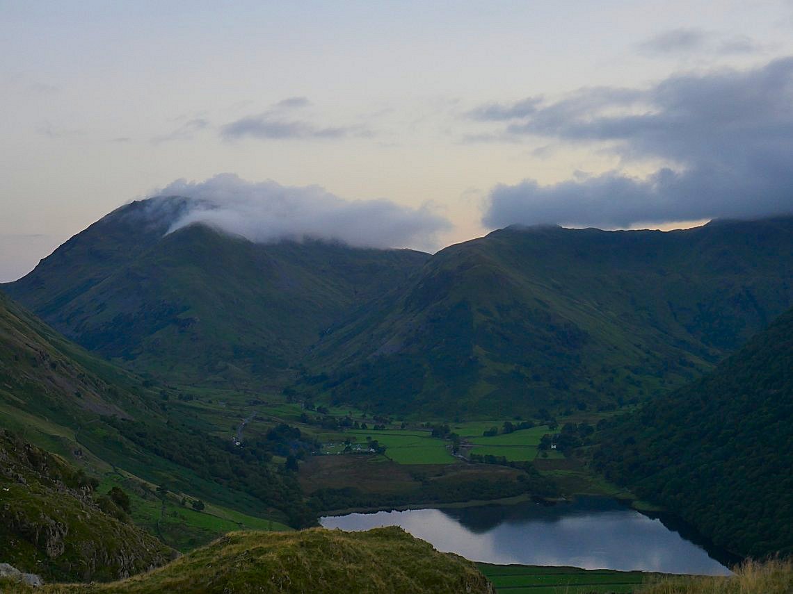
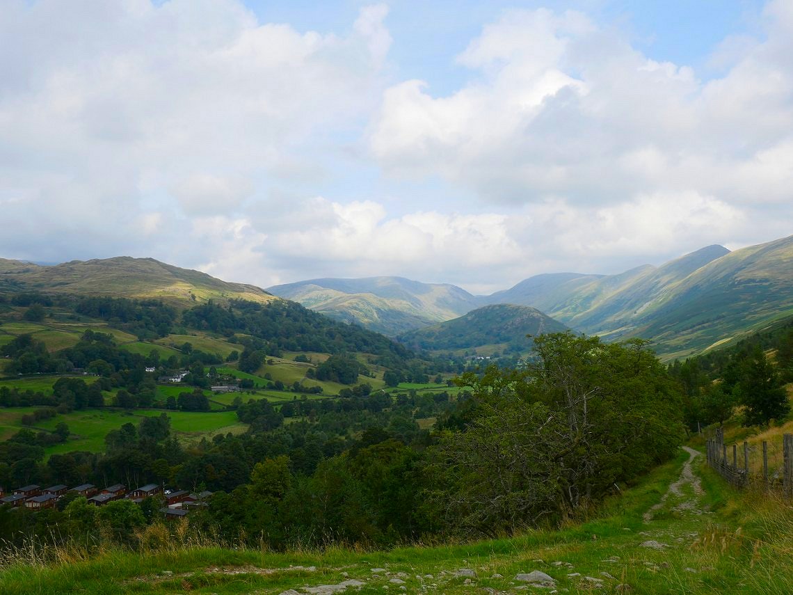
Another look back with Brotherswater coming in to view.
.
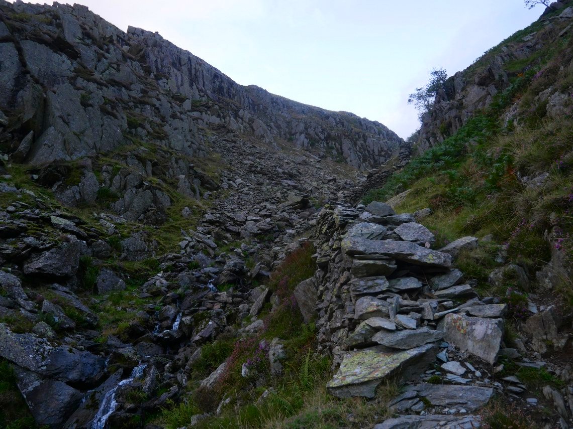
After crossing back over the stream I contoured across the bracken infested hillside to the short level ridge on the right.
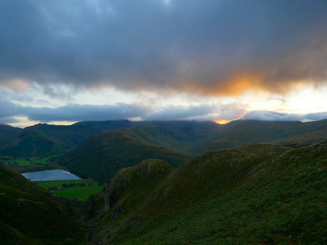
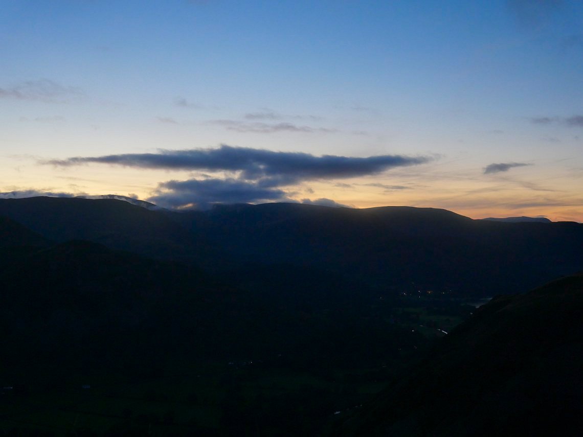
After reaching the ridge I looked about for a place to pitch, but also at the same time taking in the views to the valley and the clouds swirling around Red Screes and Middle Dodd
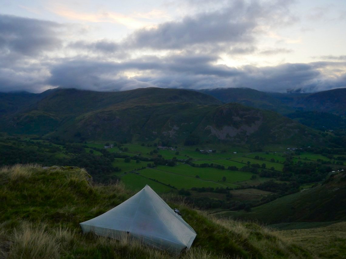
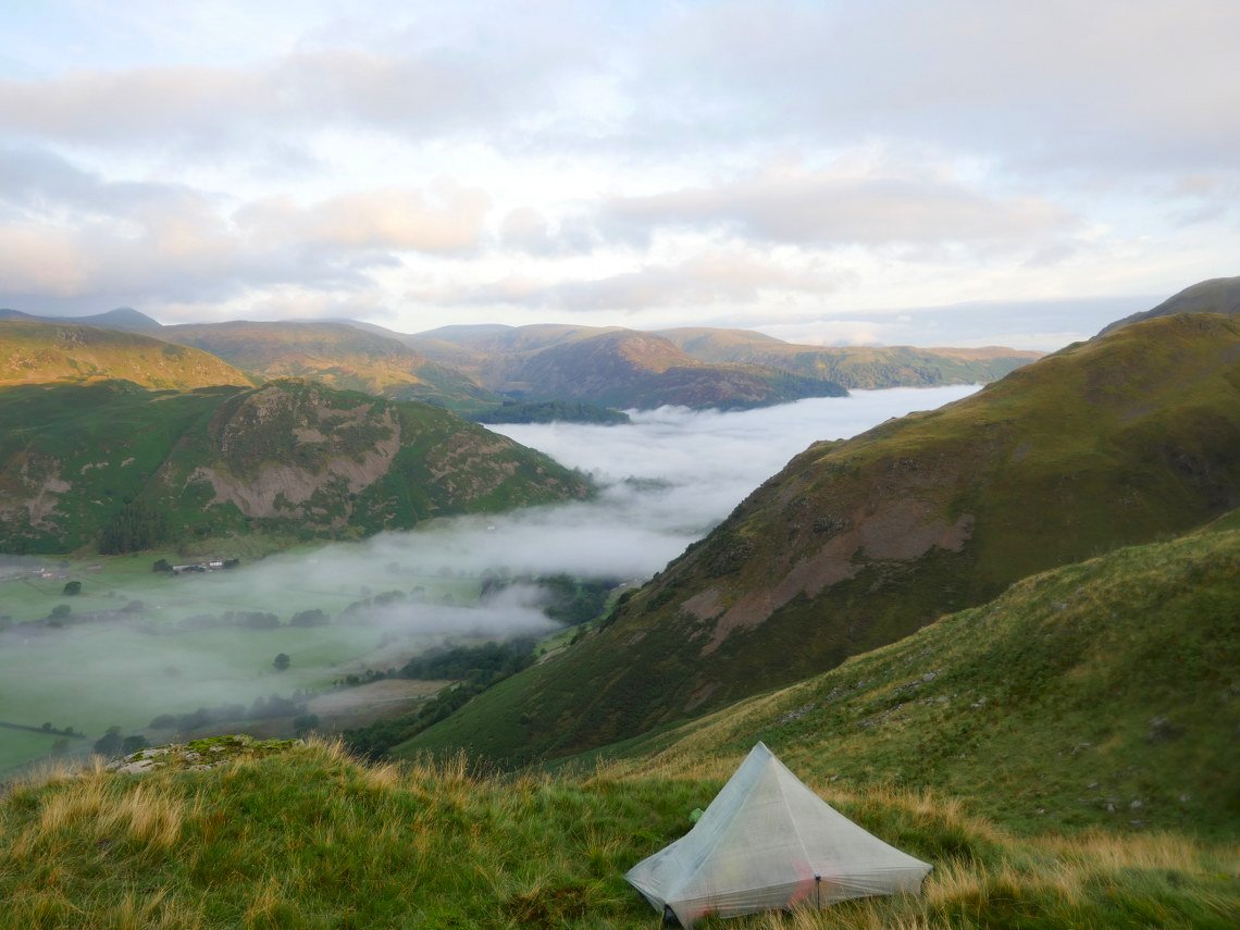
My pitch overlooking Patterdale. This was not quite in the place I wanted but after being totally calm all day the wind decided to blow just as I was pitching so I had to move to this slightly more protected spot.
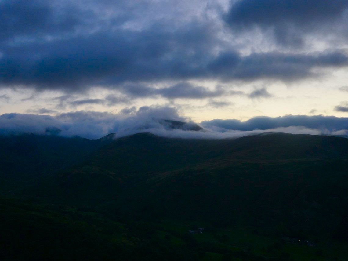
The wind was moving the cloud about though making a great show whilst I had my tea.
Looking over to Helvellyn. It was around this time I realised that I'd forgotten my headtorch which was problem because a big bank of cloud moved in from the south and the sky became very dark.
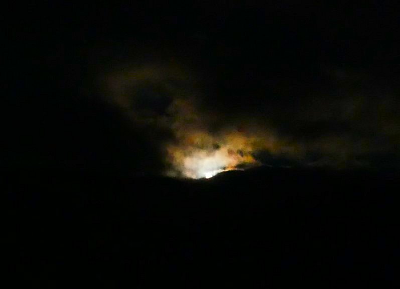
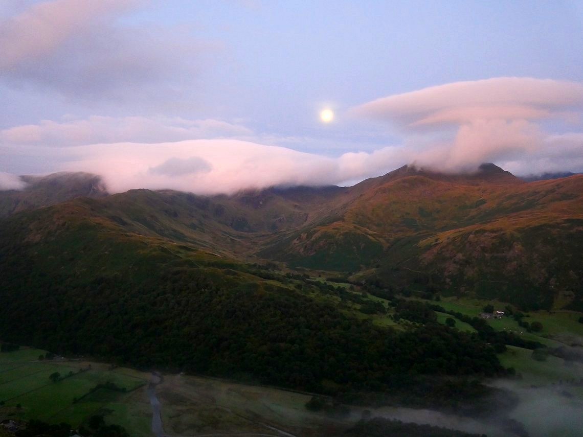
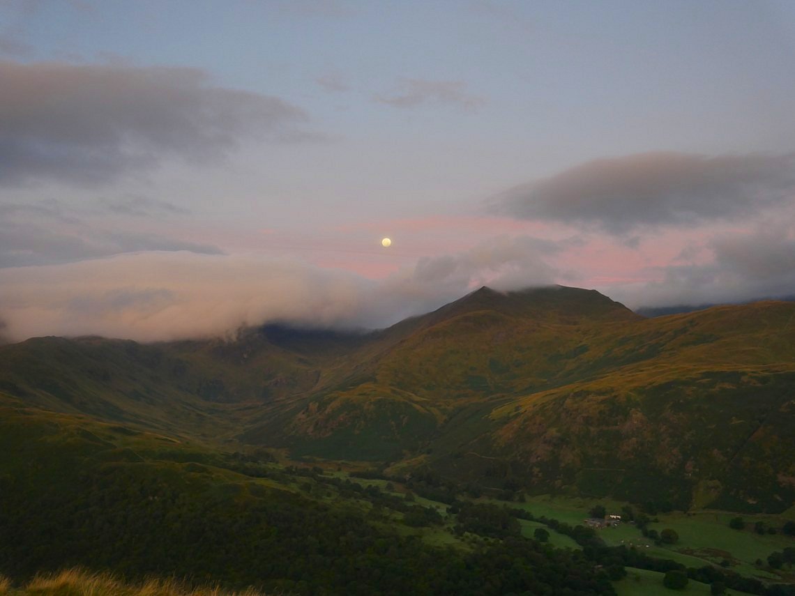
But as if by magic a light appeared from behind the clouds
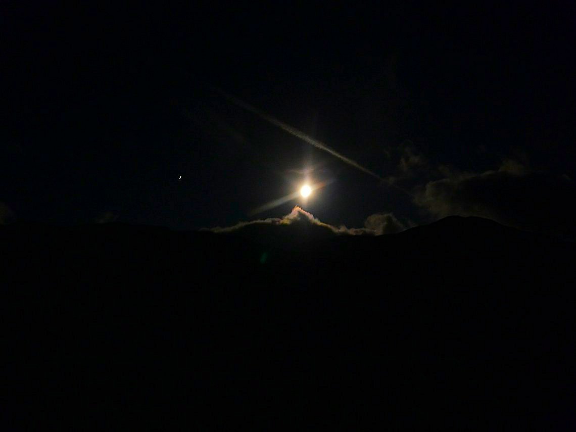
And suddenly I didn't need my headtorch as I and the valley were lit by a brilliant full moon.
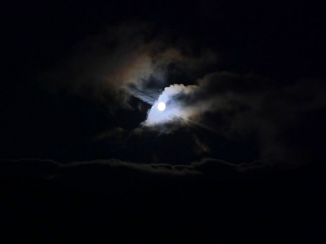
The cloud tried to fight back.....
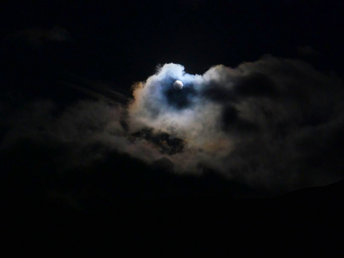
..... but to no avail the moon triumphed and every time I woke in the night it was shining through the tent..
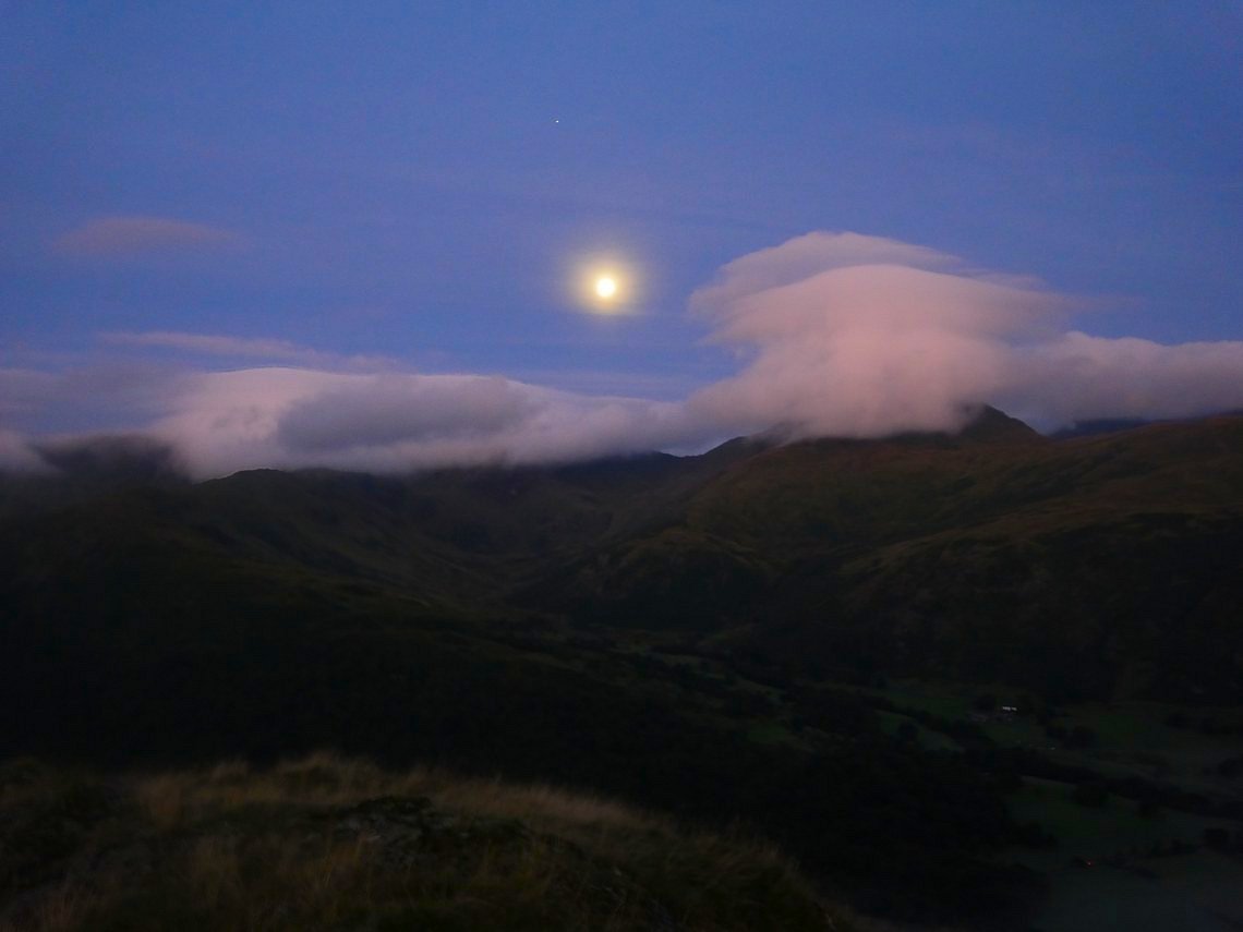
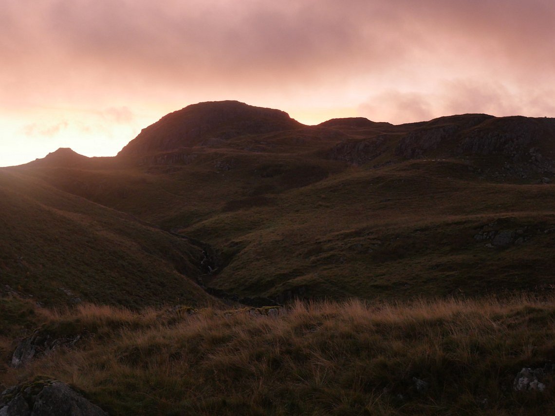
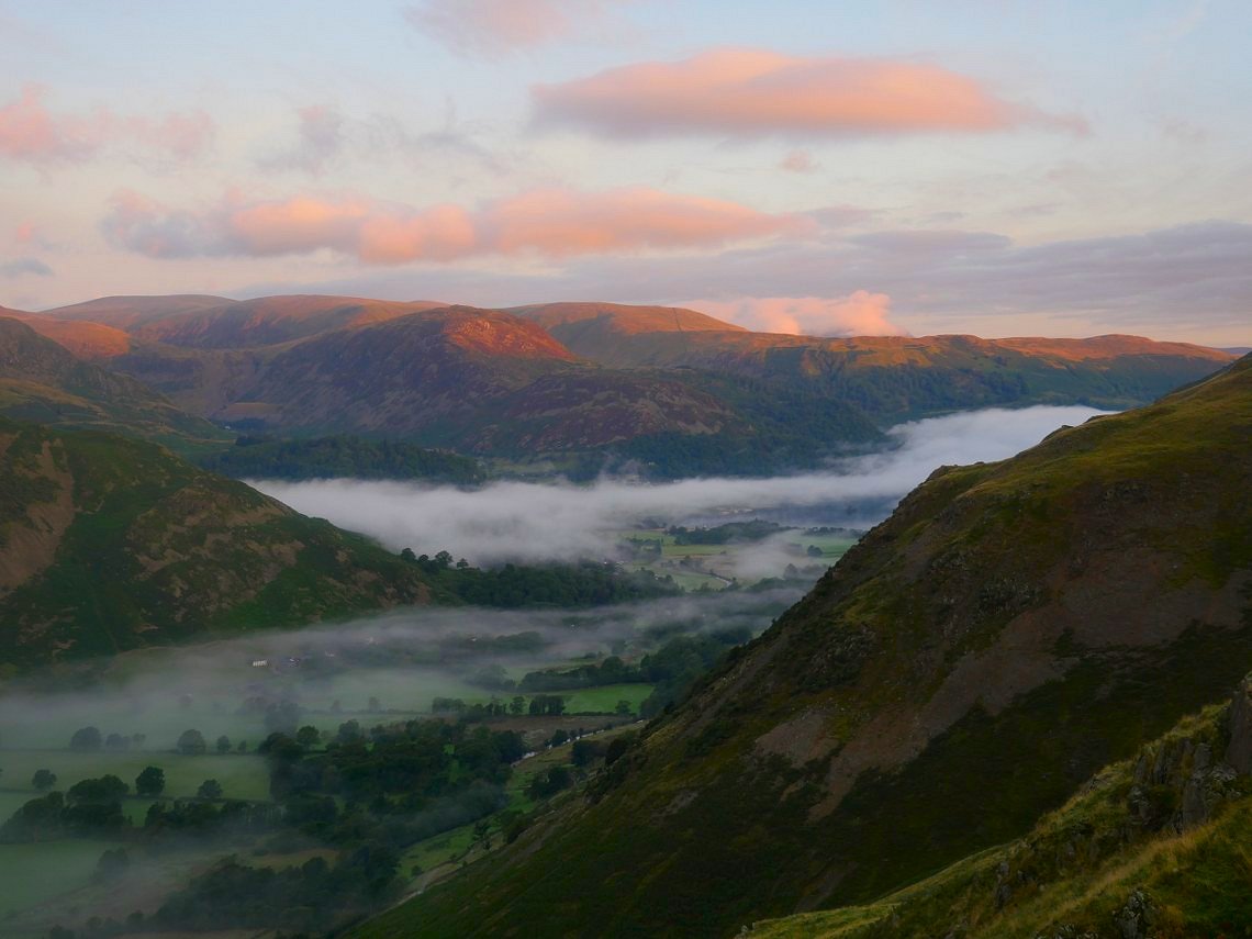
I was up early to find that the moon has moved over to the other side of the valley. But the sun was rising and starting to light the clouds.
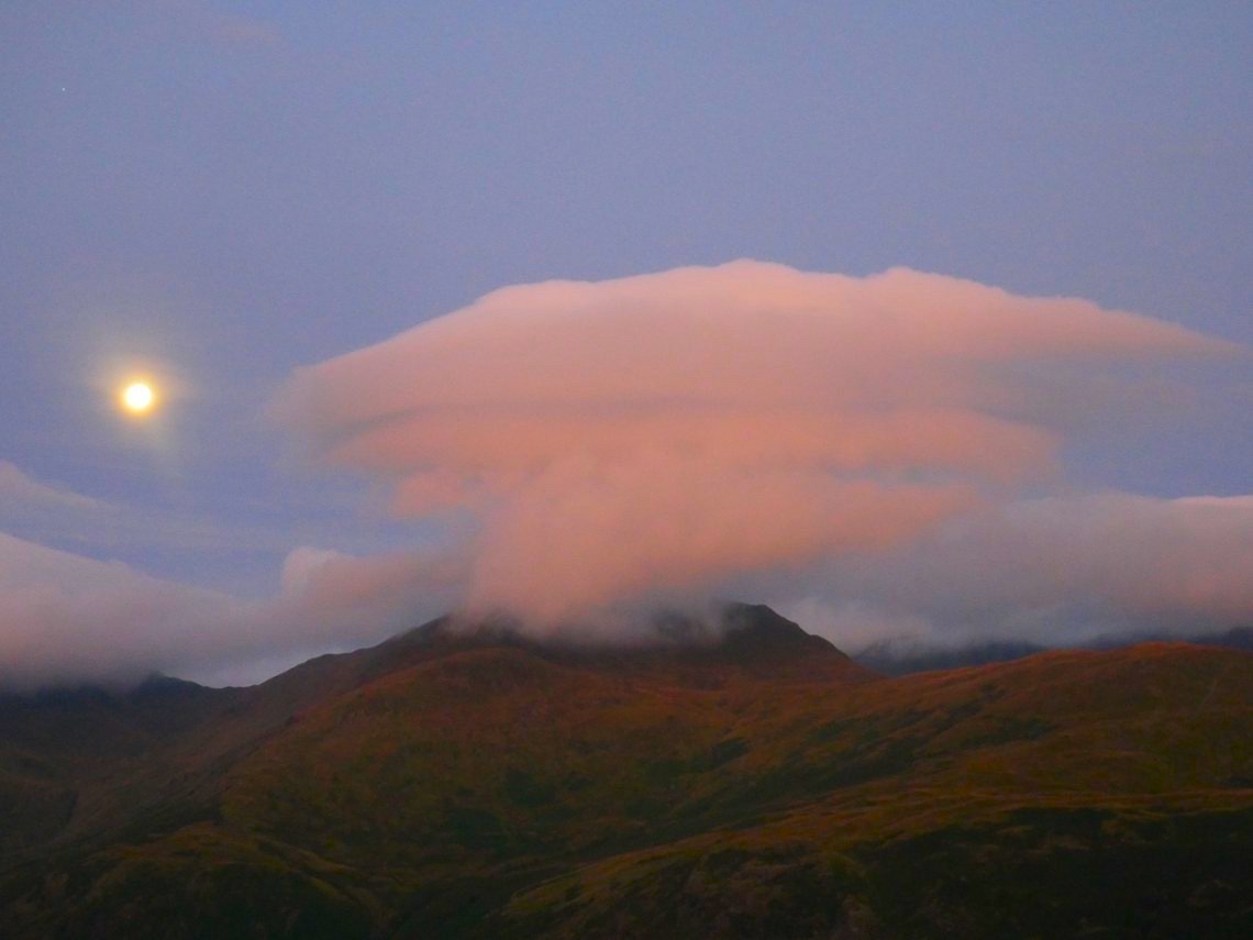
Mount Saint Sunday has blown it's top.
View over to the east and Angletarn Pikes.
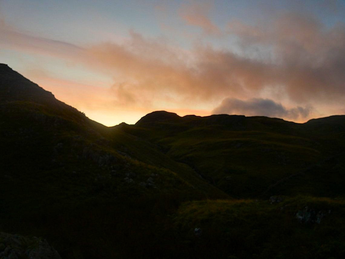
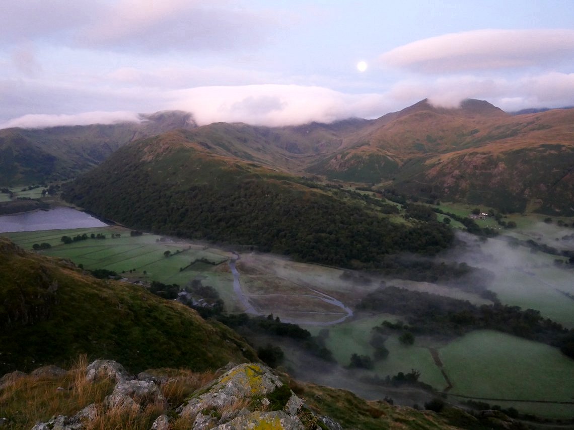
A beautiful morning. Not only clouds but now an inversion was forming.
Looking up to the Angletarn Pikes again and I saw what I thought was a person on the top...
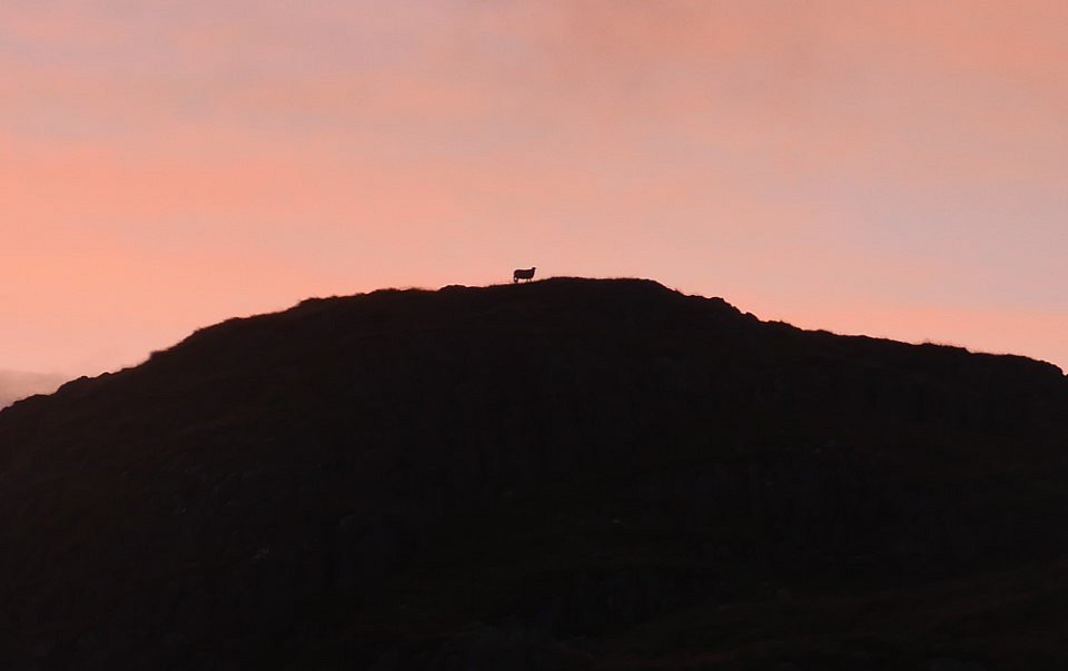
... but no, it was a sheep enjoying breakfast with a view.
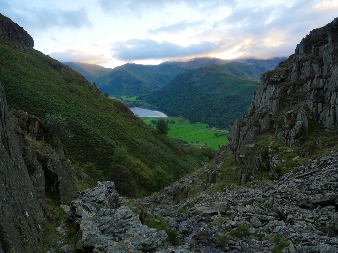
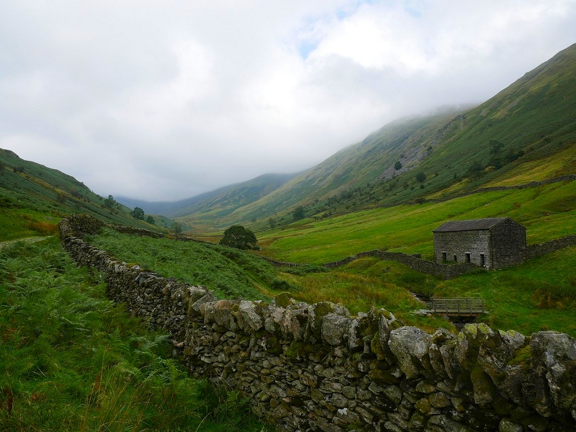
I dropped down to the little top that I had seen from the valley. The long ridge of Hartsop above How dominates the scene below.
The sky was changing by the minute.
The inversion was creeping along and has virtually covered Ullswater.
Back up to my tent for another brew.
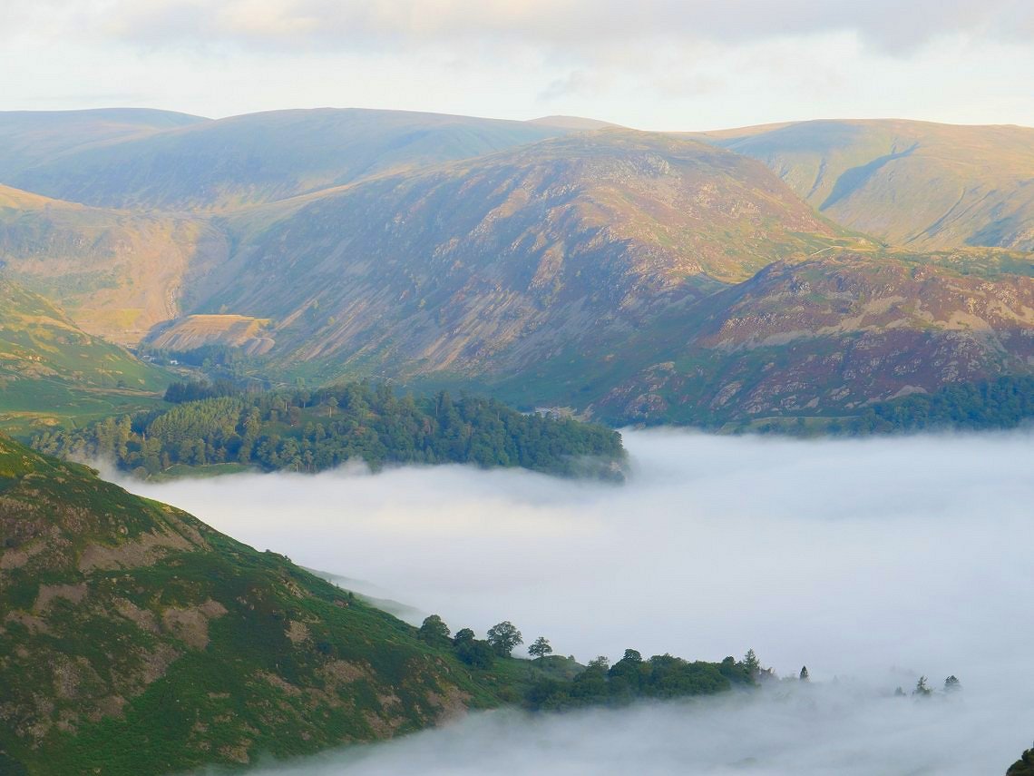
Patterdale is swallowed up.
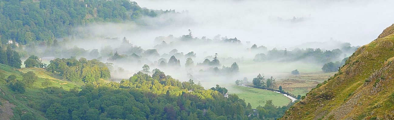
Trees in the mist.
Eventually the inversion receded so I packed up and made my way back over to the beck and climbed up to Angle Tarn.
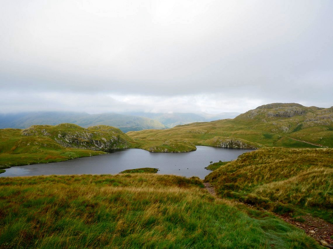
Passing above Angle tarn. Although there are none in this picture there were nine tents around the tarn which is not my idea of wild camping.
The view down into Bannerdale.
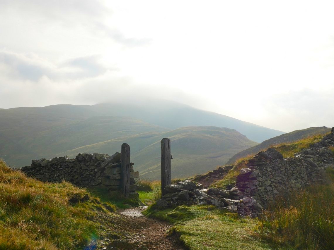
Passing through the gateposts on Satura Crag I could see that my way ahead was in the cloud but I hoped it would lift by the time I got there.
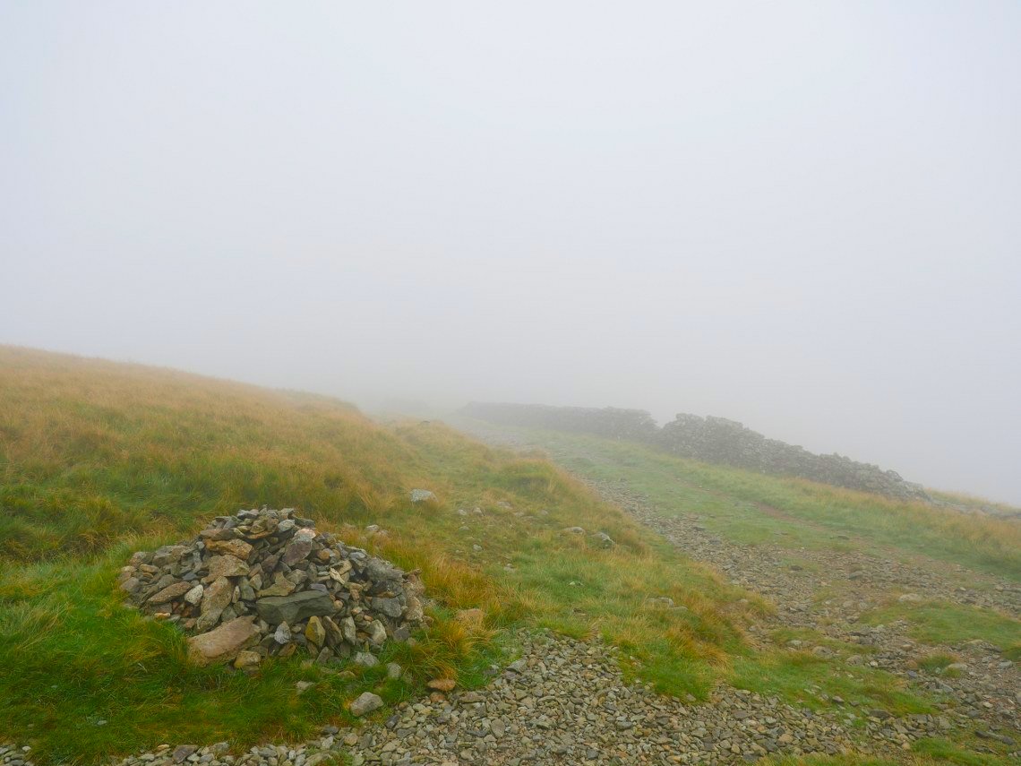
Unfortunately not. The mist if anything got thicker as I headed down the Straights of Riggindale and climbed High Street.
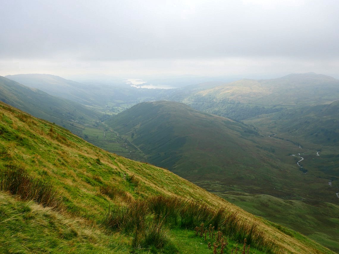
Luckily there is a wall to follow then a wide path so I got to Thornthwaite Crag with no problem from where I descended to the lovely path down the side of Park Fell. I dropped down below the mist and got a hazy view of Windermere in the distance. Troutbeck Tongue is the small fell below.
Looking back along the valley and the mist is showing no signs of moving.
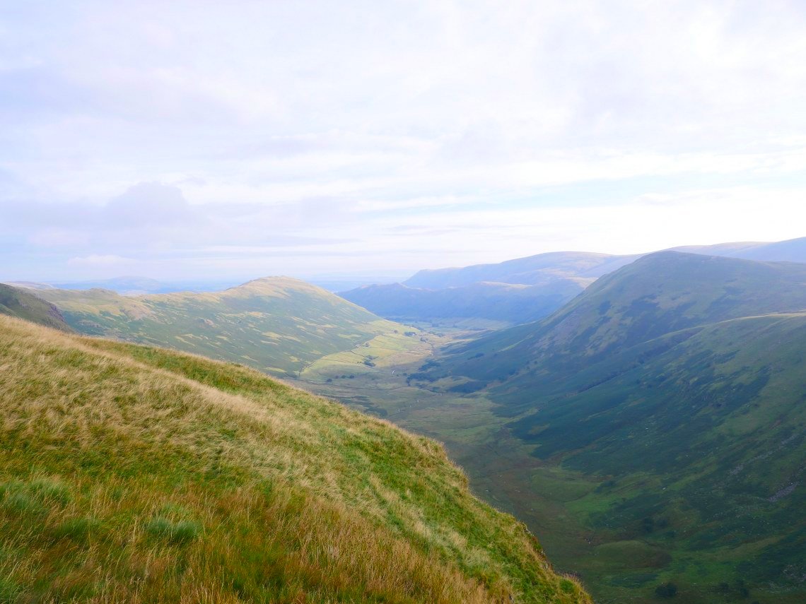
Although by the time I've reached the Longmire road the mist has cleared and it's become a lovely late summers day. Troutbeck Tongue is the fell in the centre of the picture with the Ill Bell ridge to the right leading along to Thornthwaite Crag to the right and Caudale Moor to the left of the col of Threshthwaite Mouth.
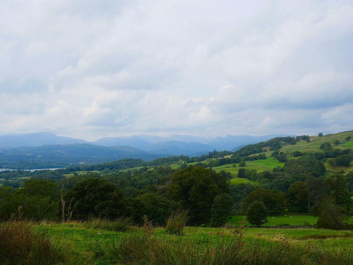
After crossing the fields and farmland I climbed up and over Orrest Head. The view to the north is very hazy but you can make out the distinctive shape of the Langdale Pikes on the right.
Previous walk - Little and Great Langdale - Next Walk - A Riggindale round.