WWW.KARLSWALKS.CO.UK
PICTURES AND TRIP REPORTS FROM MY WALKS IN THE ENGLISH LAKE DISTRICT
|
|
|
|
||||
|
|
|
|
|
|
|
|
E-mail - karl@karlswalks.co.uk |
I'd booked a day off work a few weeks ago and had bought a cheap train ticket to Penrith. My plan was to knock off my remaining ten fells on my fourth Wainwright round and also visit Buttermere Dodd which if you disregard Pillar Rock is my remaining Birkett top.
As the day drew nearer the weather forecast looked awful with heavy rain promised for Friday and Sunday with only Saturday looking decent. On Friday morning the weather was as advertised and coming past Shap the rail replacement bus ( Transpennine express canceling this time ) was nearly blown of the road and the rain was so heavy we could hardly see where we were going. But as we headed west towards Keswick the skies cleared and amazingly I had blue skies and warm sunshine at times.
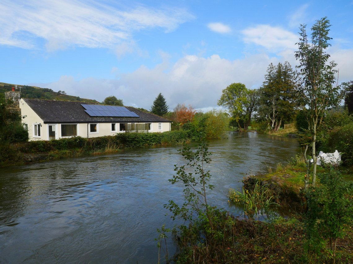
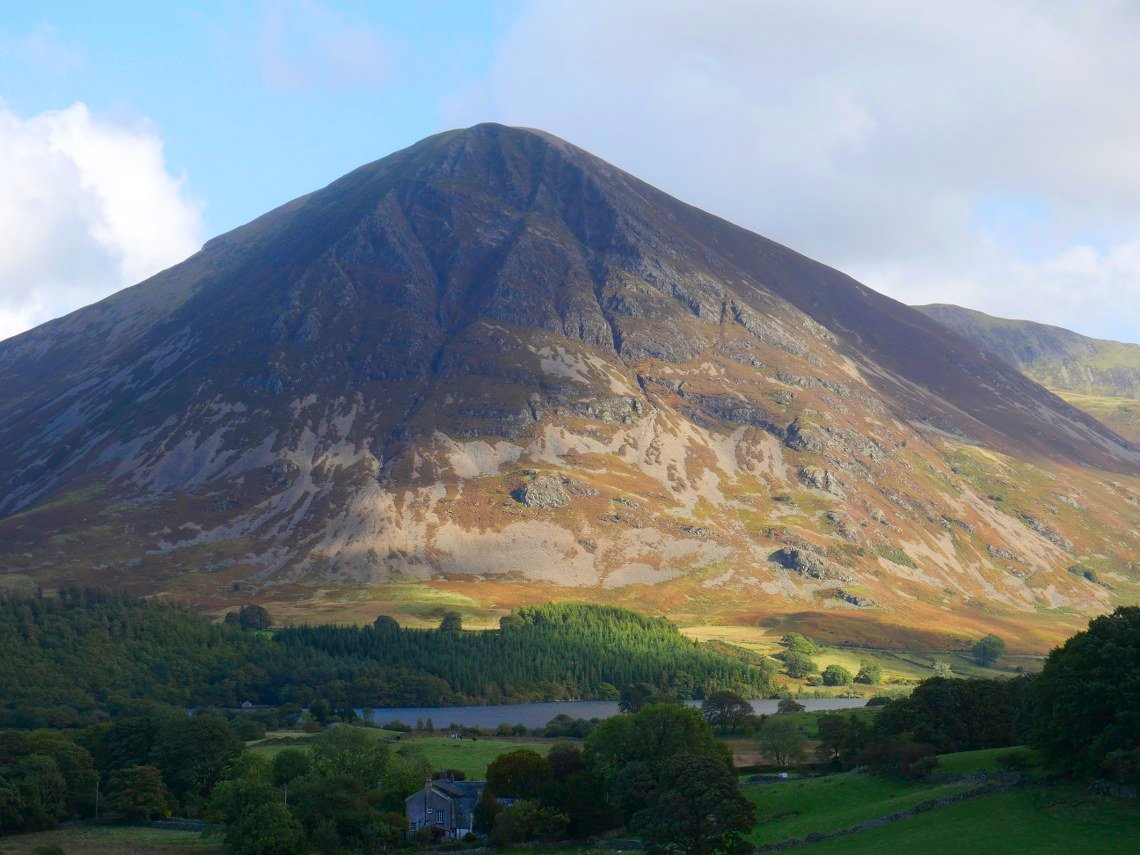
My first two fells to be climbed were Fellbarrow and Low fell and I was trying a new route, setting off from Low Lorton up a pretty lane and then a field track. A couple of weeks ago we were commenting about the dry reservoirs but now after a few days of heavy rain the river Cocker was running very high and fast.
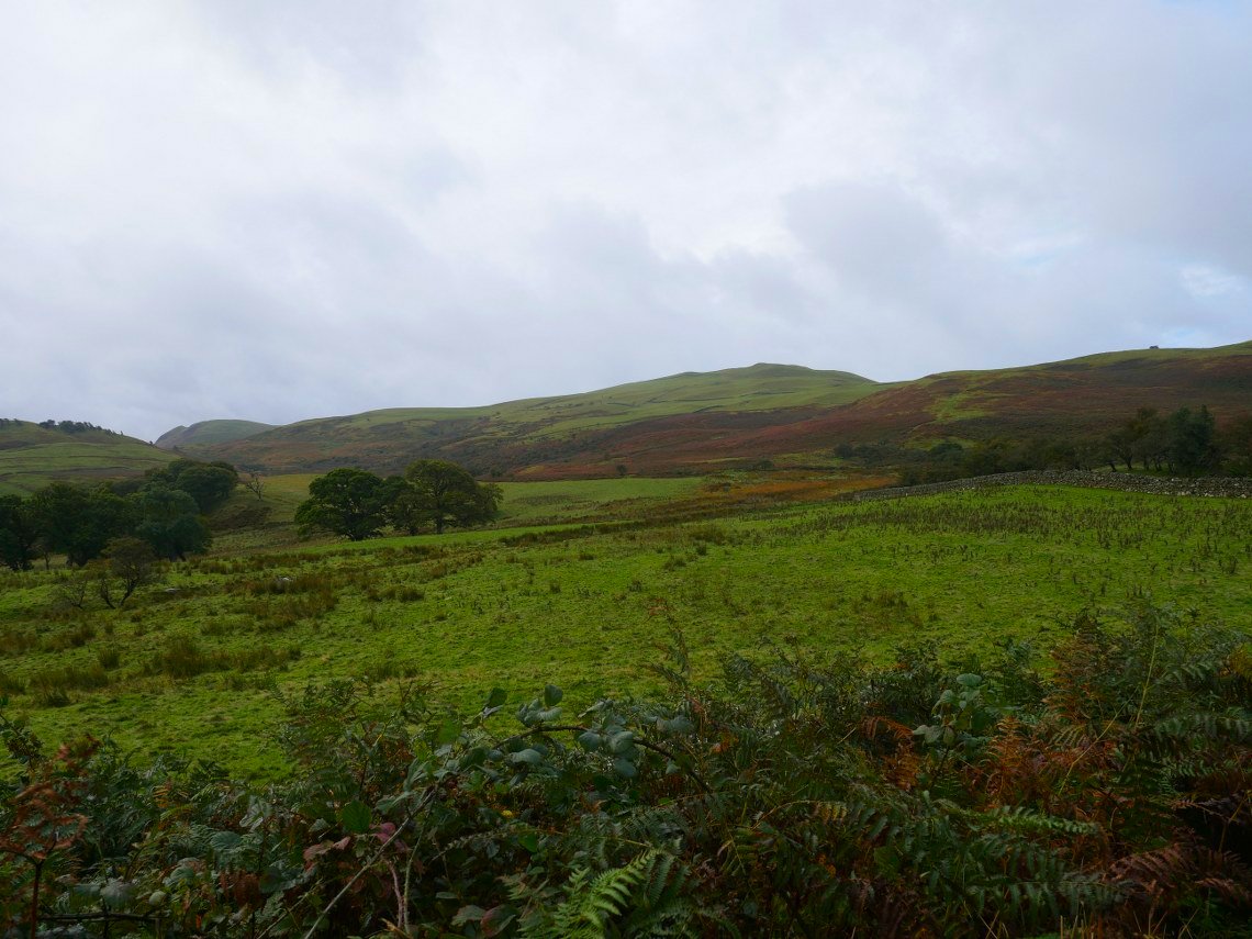
On the climb up to High Bank and the high fells of the Whiteside/Grasmoor group come into sight albeit with the tops still cloud covered.
My first two fells are clear though.
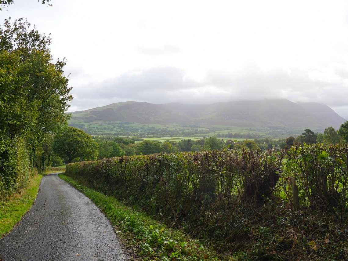
At the highest point on the lane ( which a signpost says goes to Mosser ) I take a track on the left which undulates over fields towards the ruined building of Hatteringill.
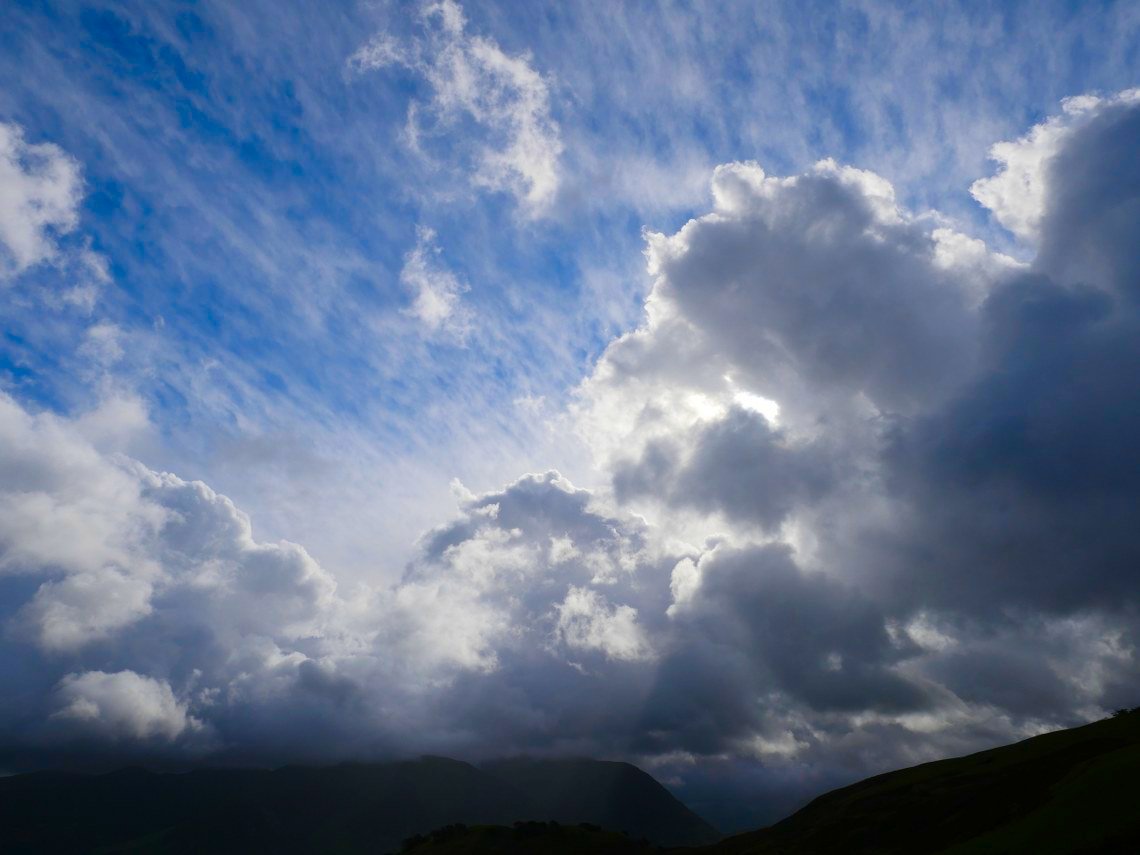
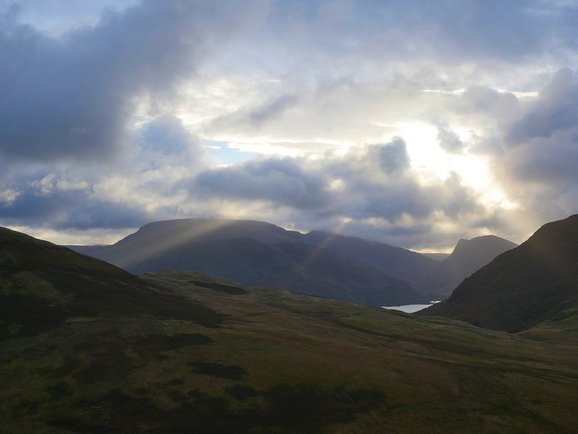
Very interesting sky over the high fells.
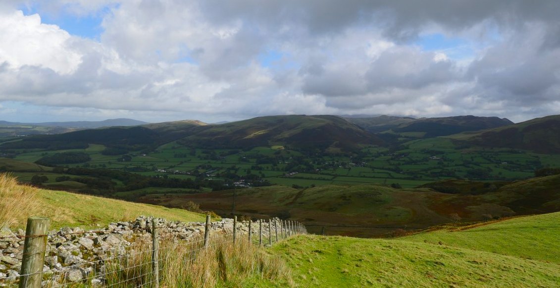
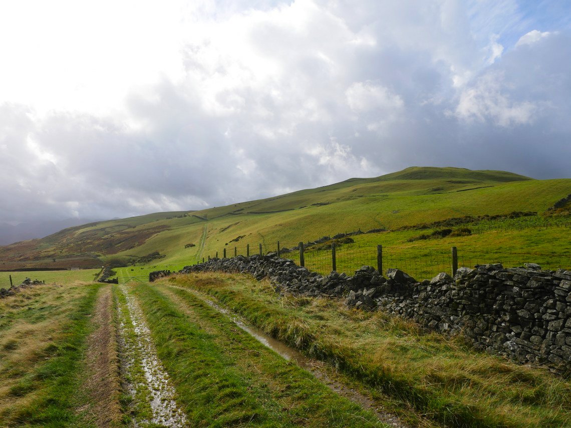
Looking back to Lorton from the climb by the fence which takes me to a small col between Hatteringill Head and Fellbarrow.
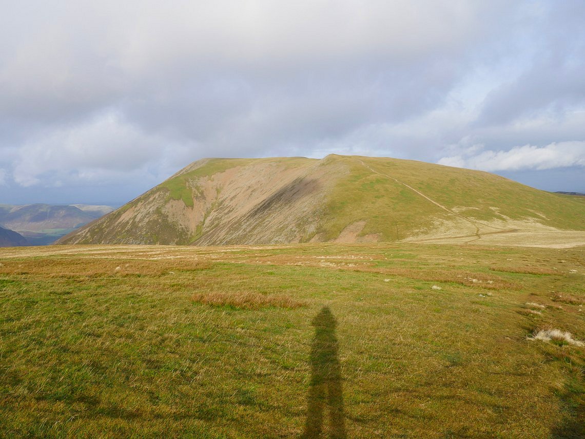
And here I am on Fellbarrow ( 205/214 )
.
And my next top, Low Fell is highlighted.
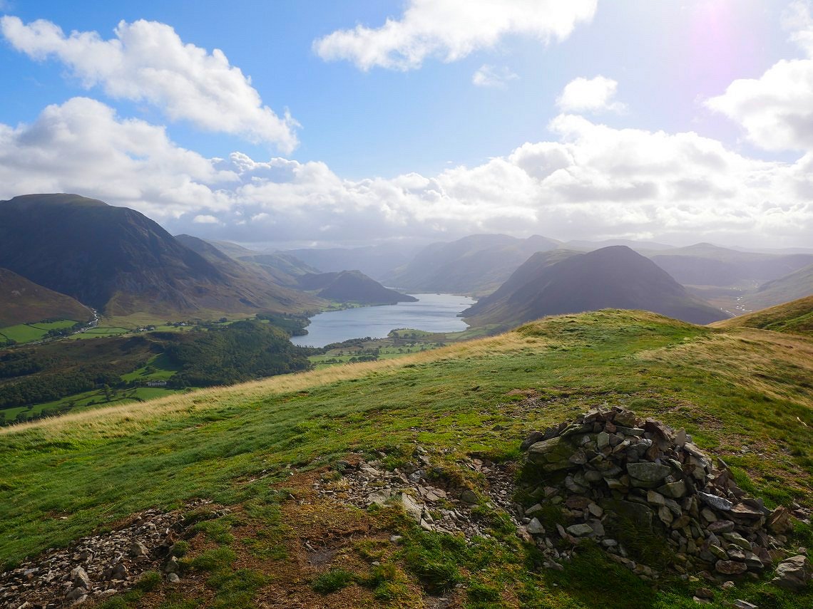
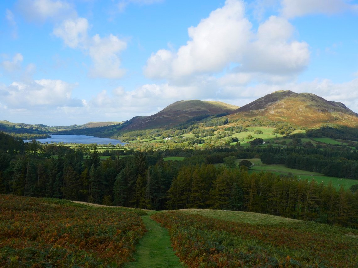
It's an easy and lovely walk between the two and the view from Low fell down to Crumock Water is regarded as one of the best in the Lakes. ( 206/214 )
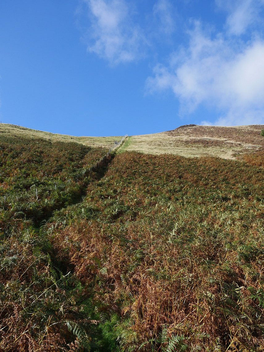
From Low fell I had to get back down to the Loweswater and my choice for today was the very steep and slippery direct route.
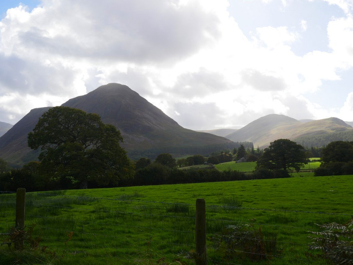
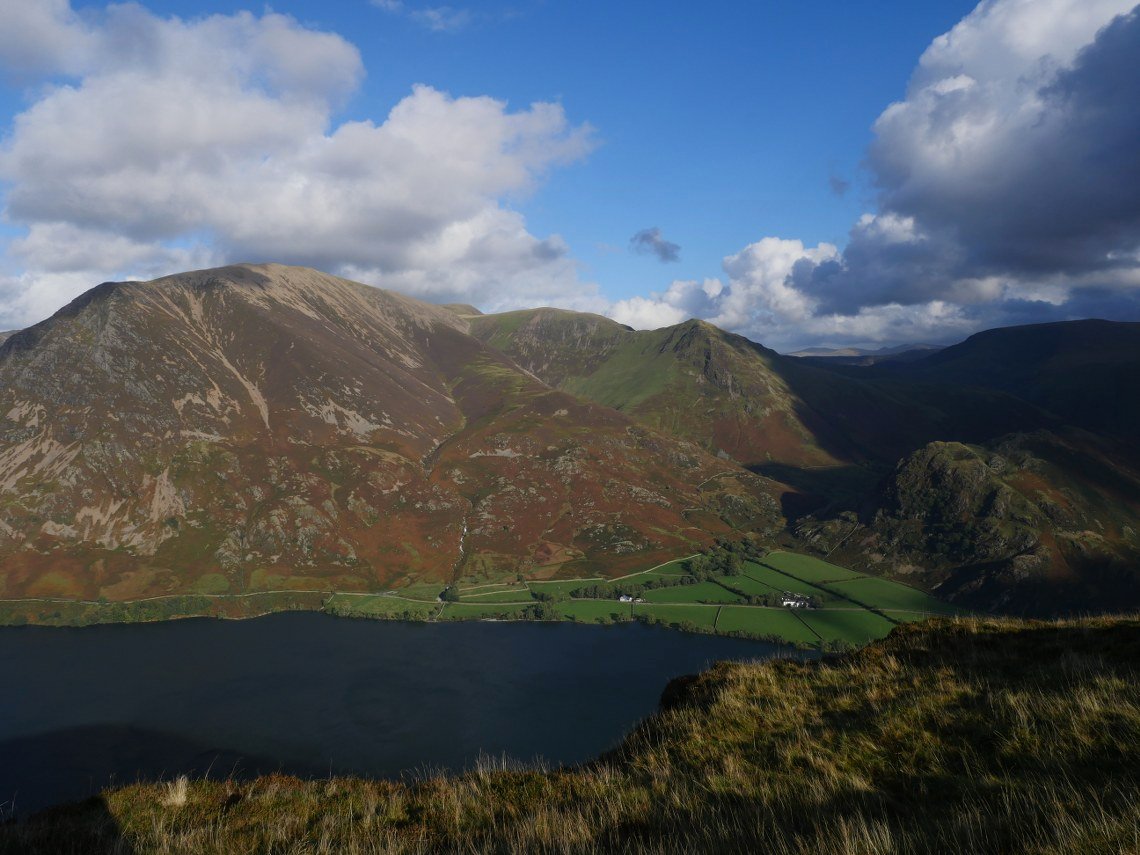
And once down I get to see the next two fells on my list. Mellbreak and in the background Hen Comb.
Looking back to a sunny Low Fell.
Grasmoor is now cloud free.
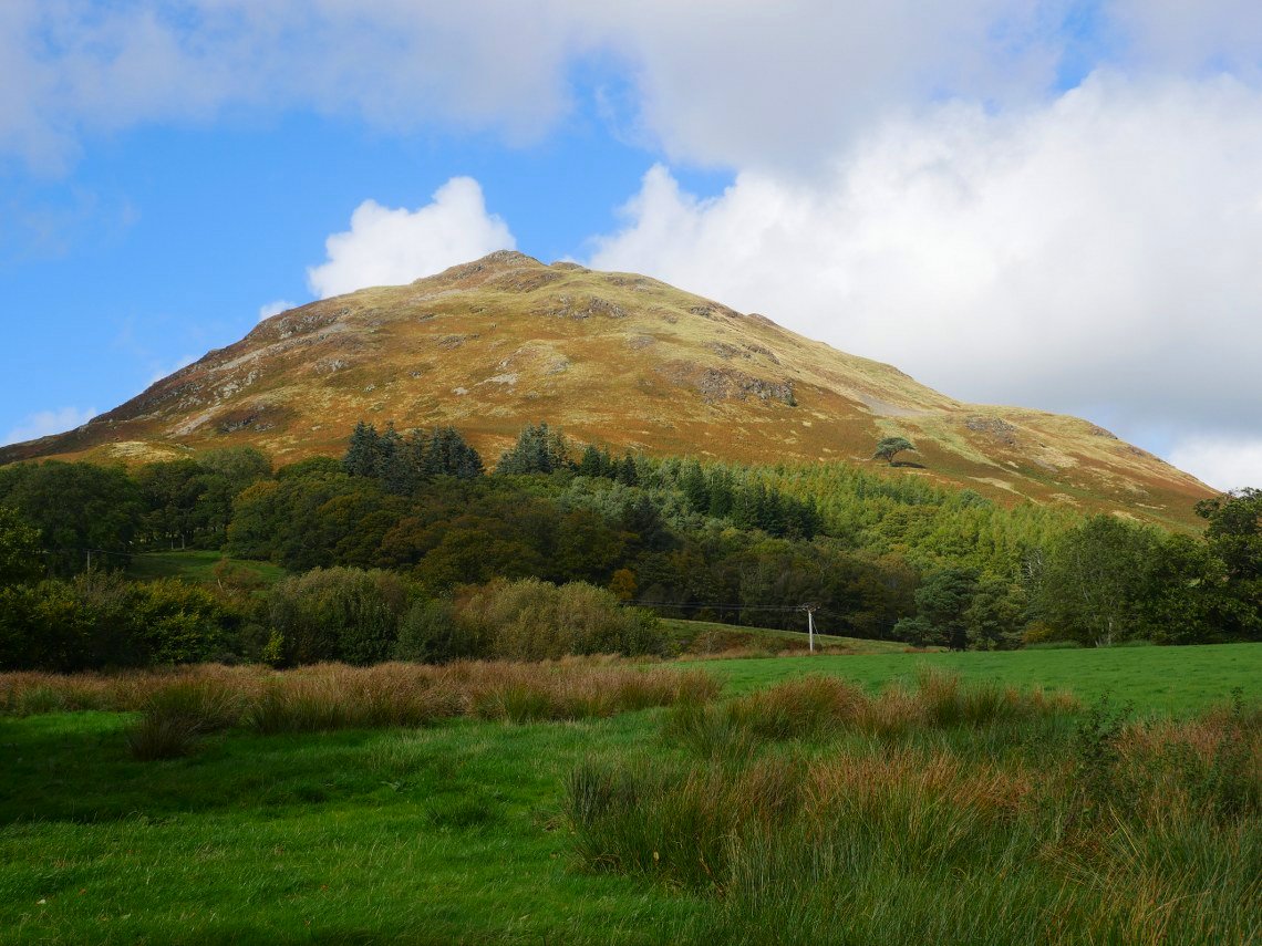
On the lower reaches of Mellbreak and already there is a great view of Loweswater ( the lake ) and above to the right Darling Fell and Low Fell.
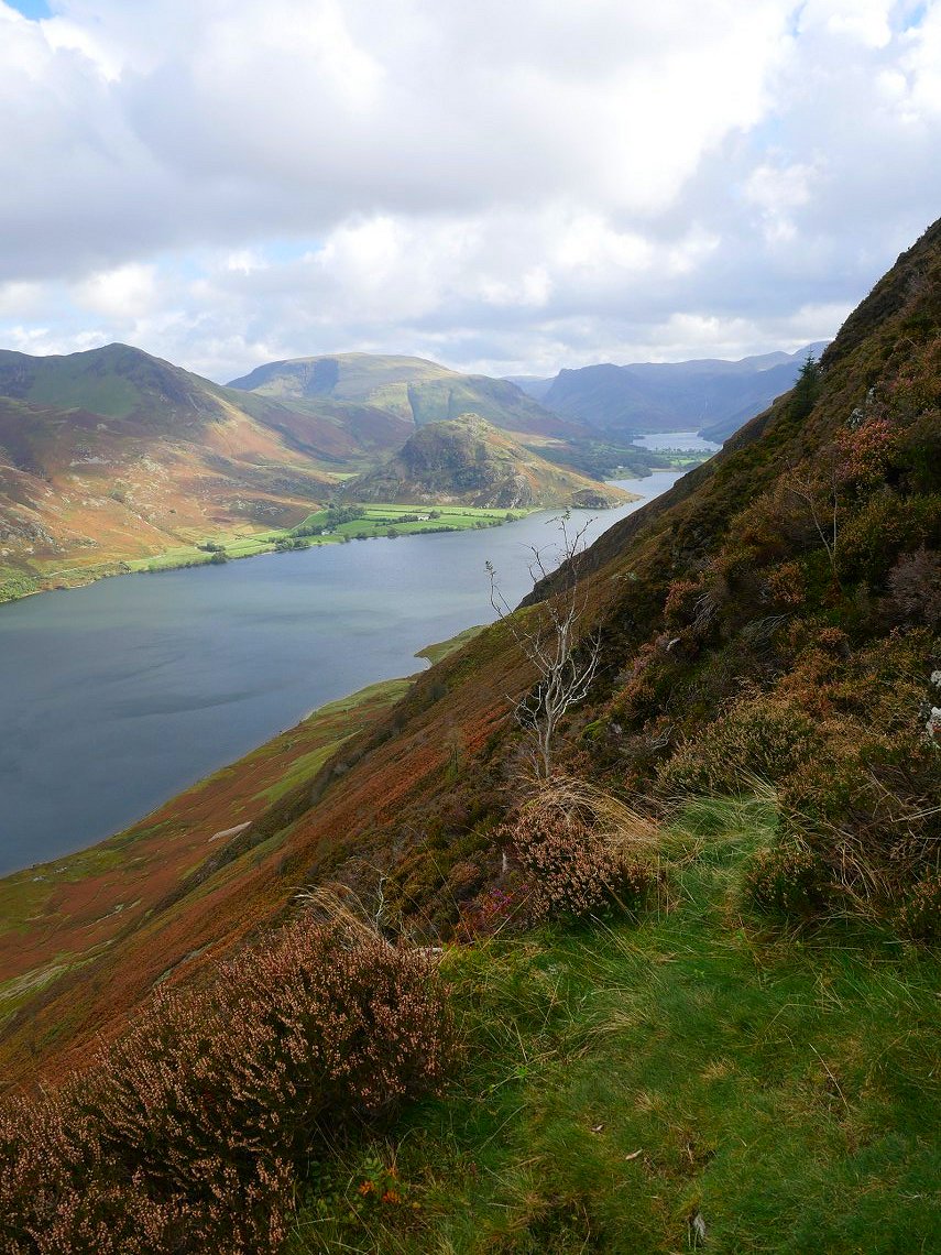
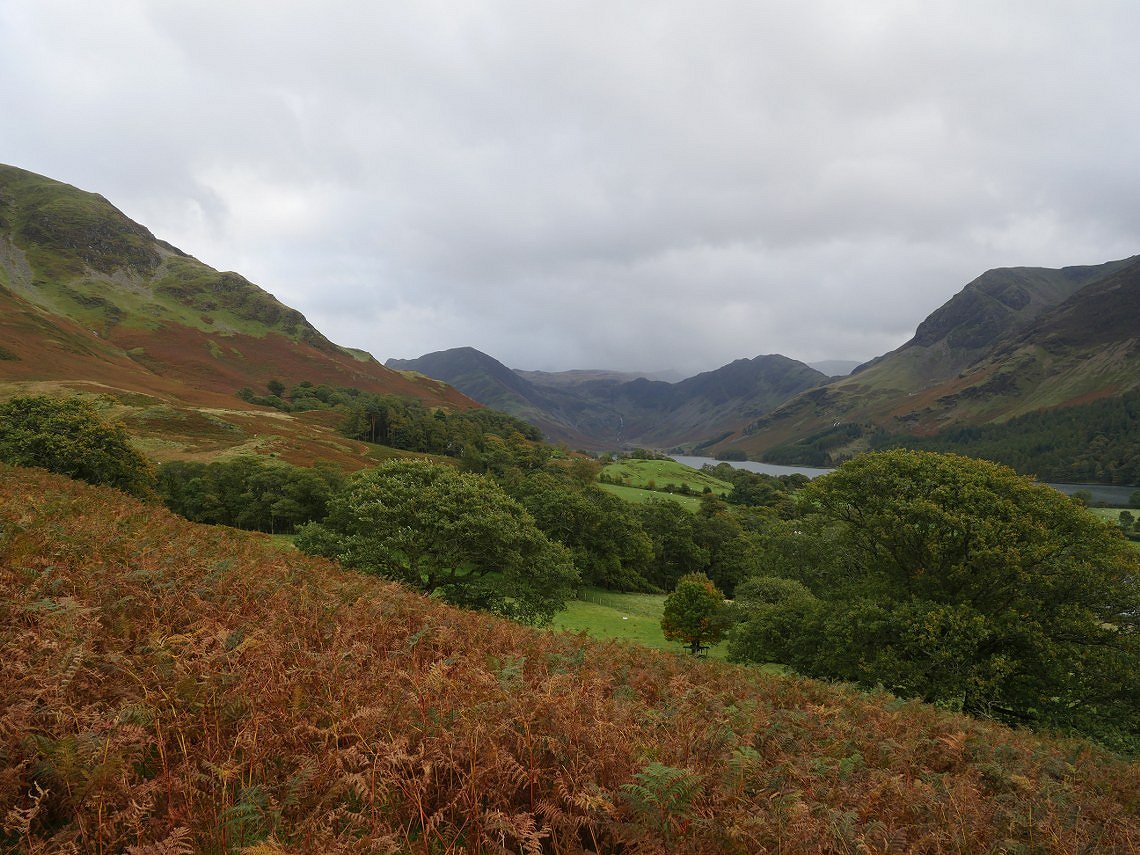
A peep round the corner to Crummock Water and Buttermere.
And after the very tricky climb through the scree and heather I'm on the top of Mellbreak. ( 207/214 )
As you can see from the water it was very windy but this meant the clouds were scudding across the sky changing the light by the minute.
Looking to hopefully my final top of the weekend, Grasmoor With Whiteless pike to the right.
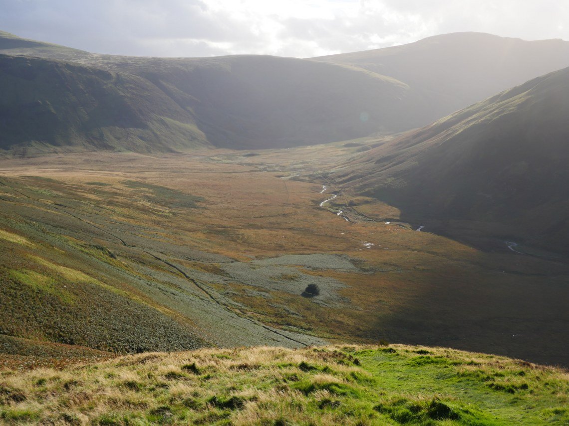
Leaving the top I made my way back to the saddle between the north and south tops of Mellbreak and came down another very steep path to Mosedale. Below is the Mosedale Holly Tree the only named tree on the O/S maps.
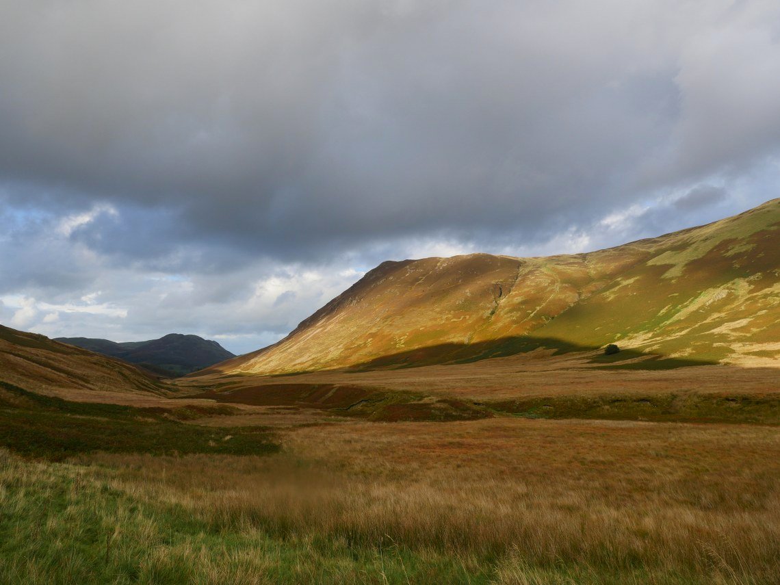
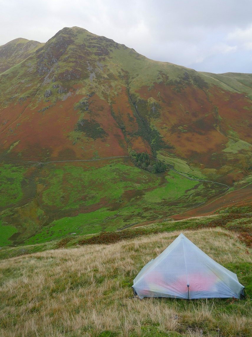
Once into a very wet Mosedale I headed south towards the bridge over Mosedale Beck. Originally I had planned to climb Hen Comb before camping but I just didn't have the energy for the stiff climb so I found a flat ( ish ) pitch at the base of Thang Crags. The late afternoon sun lights up Mosedale.
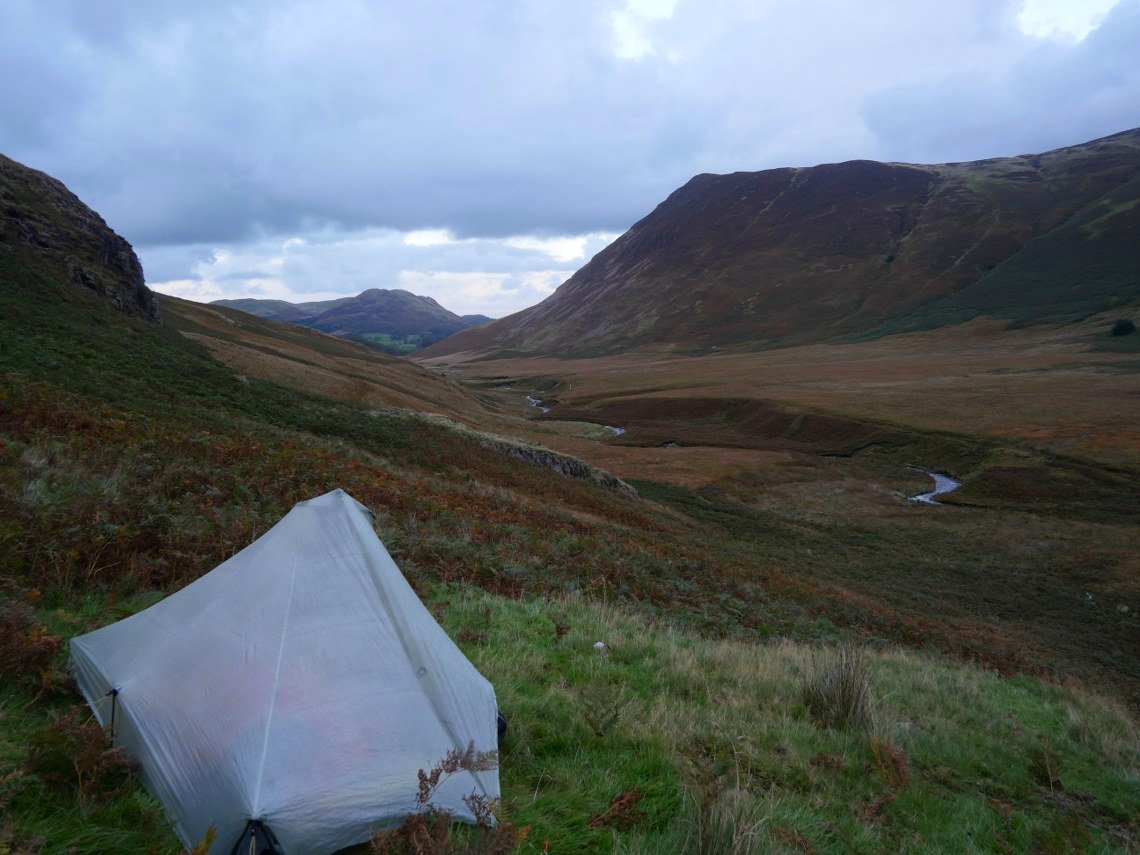
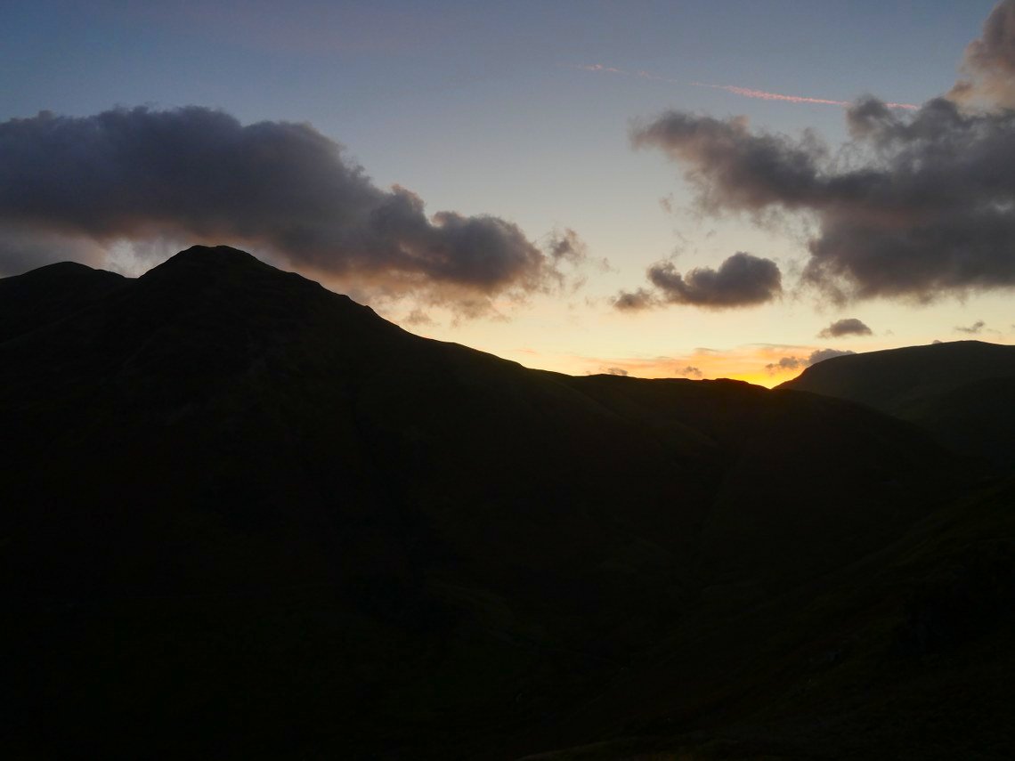
And later in the evening. The day had turned out so much better than I was expecting and as darkness fell it wasn't even cold and I slept really well despite my slightly sloping pitch..
Saturday started off with some really moody skies above Buttermere and Fleetwith Pike.
By the time I'd dragged myself up the very steep slopes of Hen Comb the blue skies had returned From the top of Hen Comb ( 208/214 ) I have to descend again, pass the little bump of Floutern Kop and climb up the steep Steel Brow seen here centre right
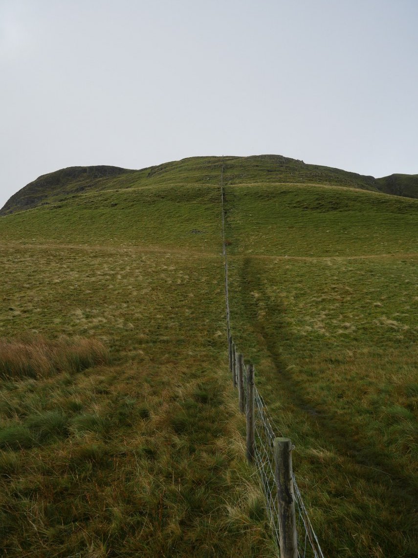
Here I am at the base of Steel Brow. I have climbed it a few times before and know that it's bark is worse than it's bite and you even have the fence to pull yourself up with.
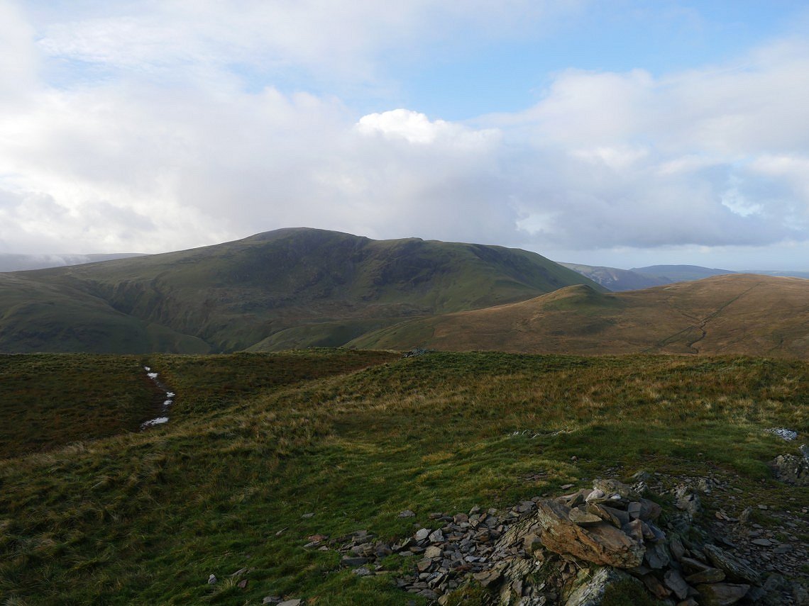
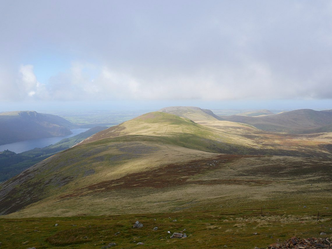
From the top the view back is to the three Loweswater fells of Gavel, Blake and Burnbanks.
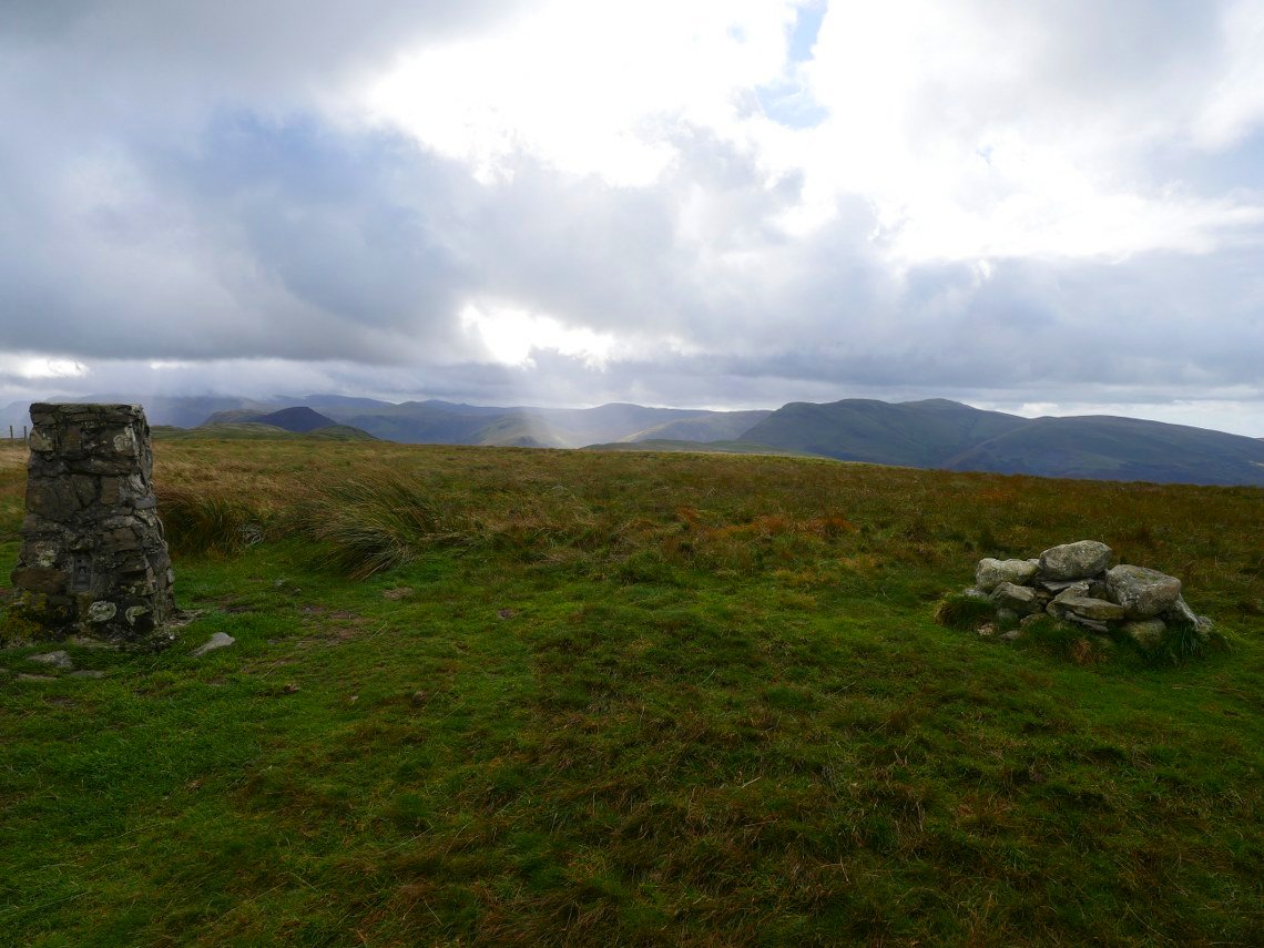
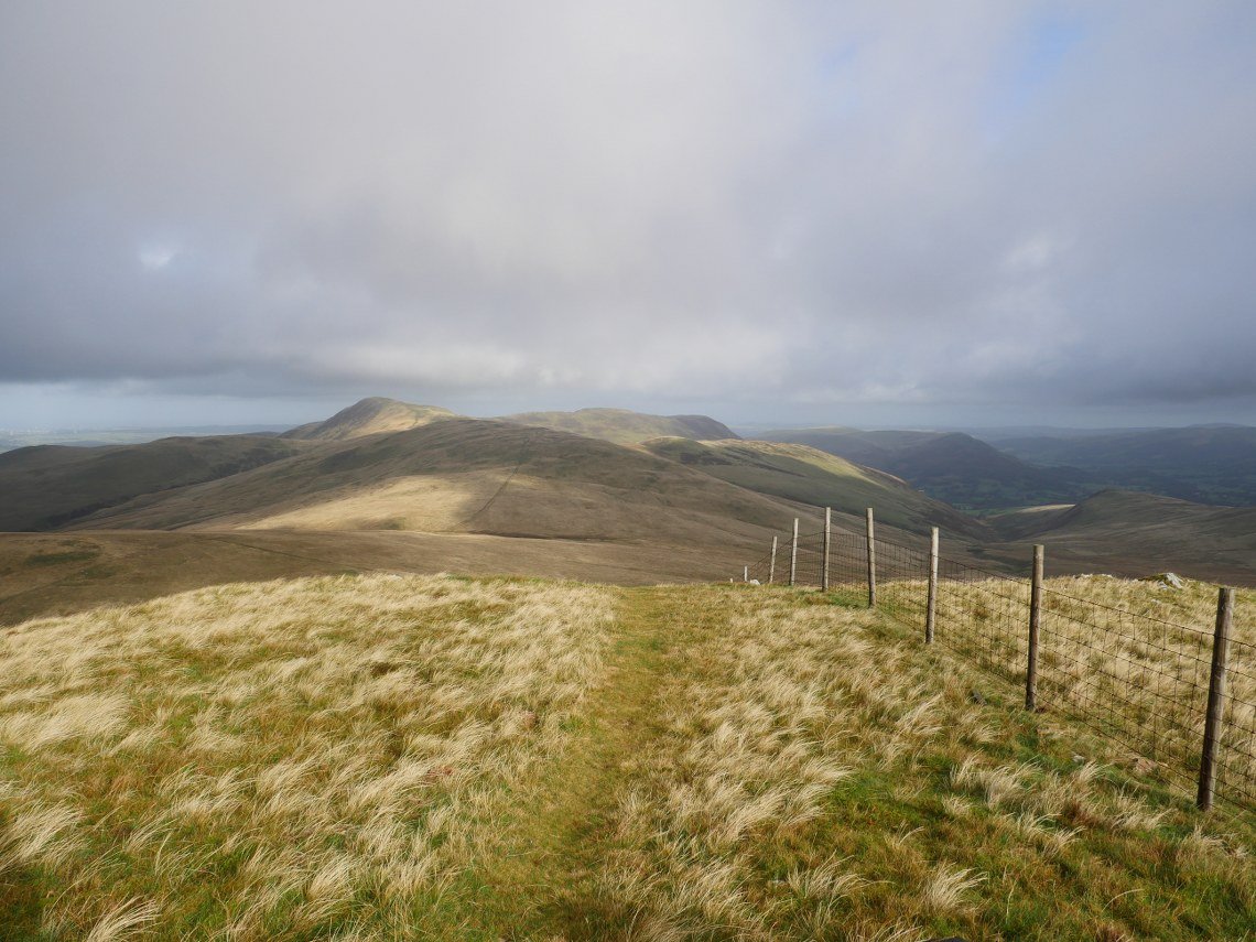
From Steel Brow it's not very far to Great Borne ( 209/214 ). The clouds have descended over Red Pike and the higher fells beyond but Starling Dodd where I'm going next is clear.
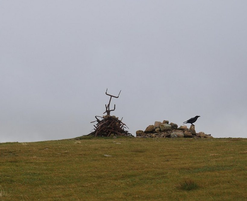
Scrap iron cairn and visitor on Starling Dodd. ( 210/214 )
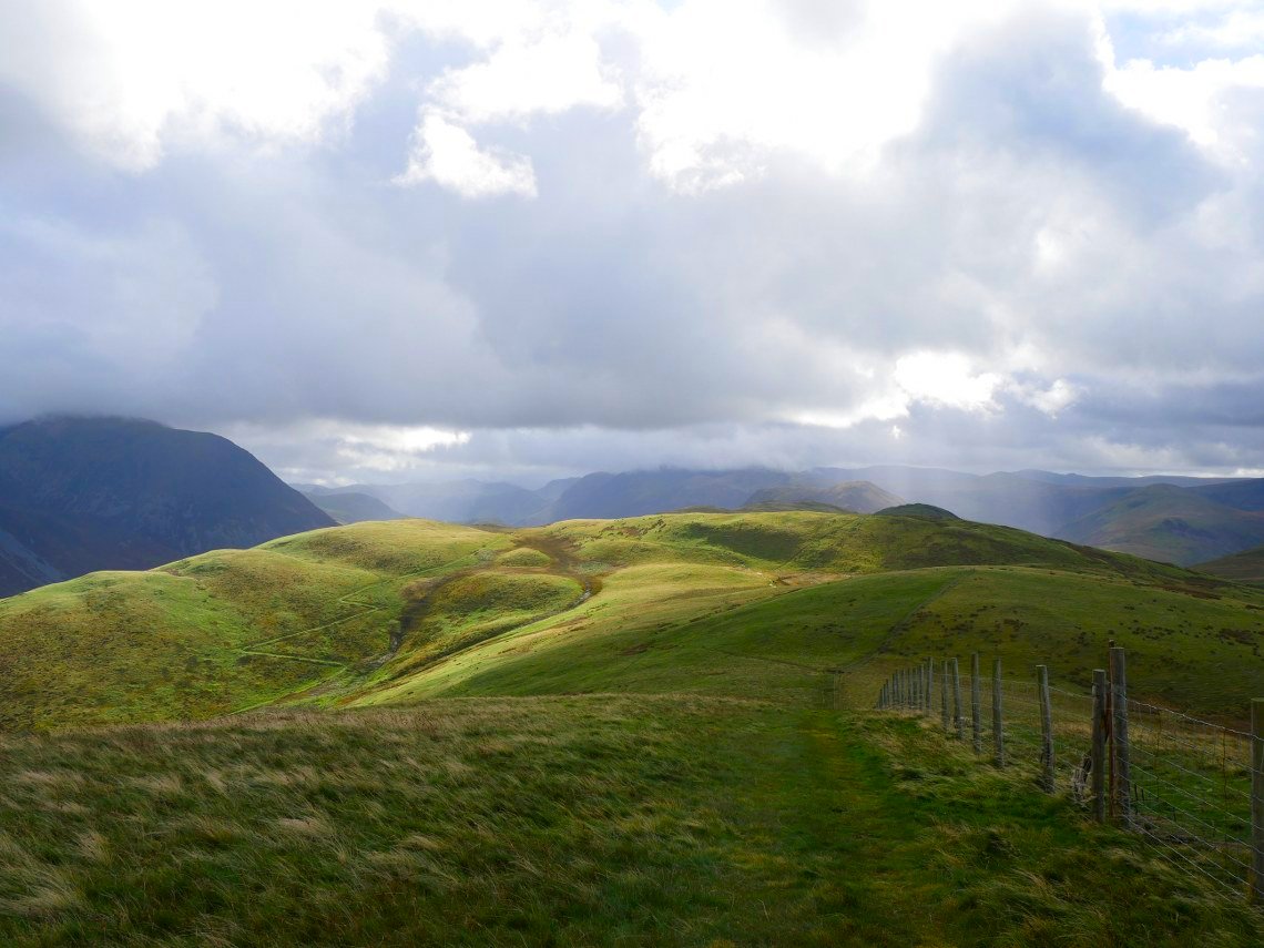
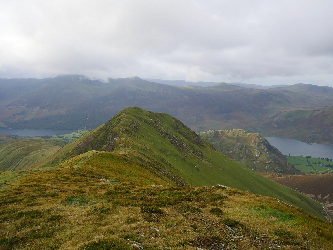
Looking over to the west the unmistakable knobbly top of Causey Pike is in shadow with before that the Knott Rigg/ Ard Crags ridge and in the sun is Whiteless Pike my route up for tomorrow.
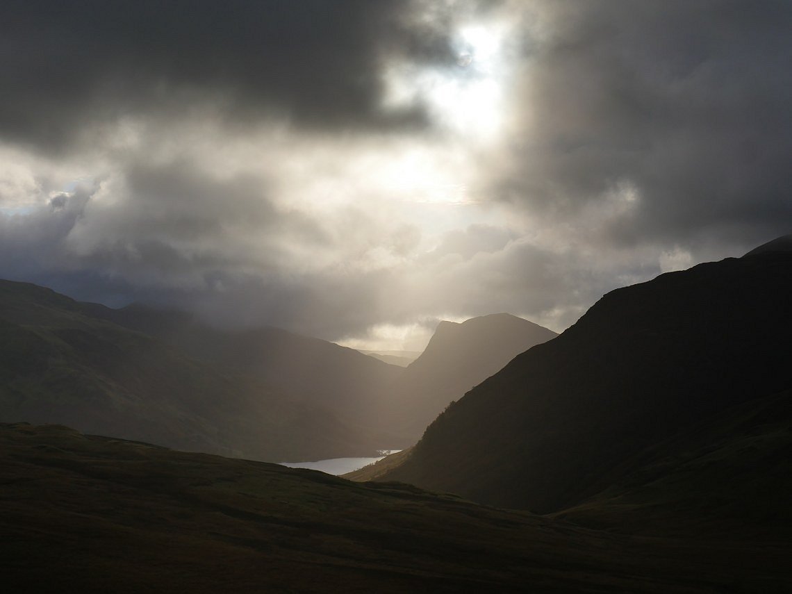
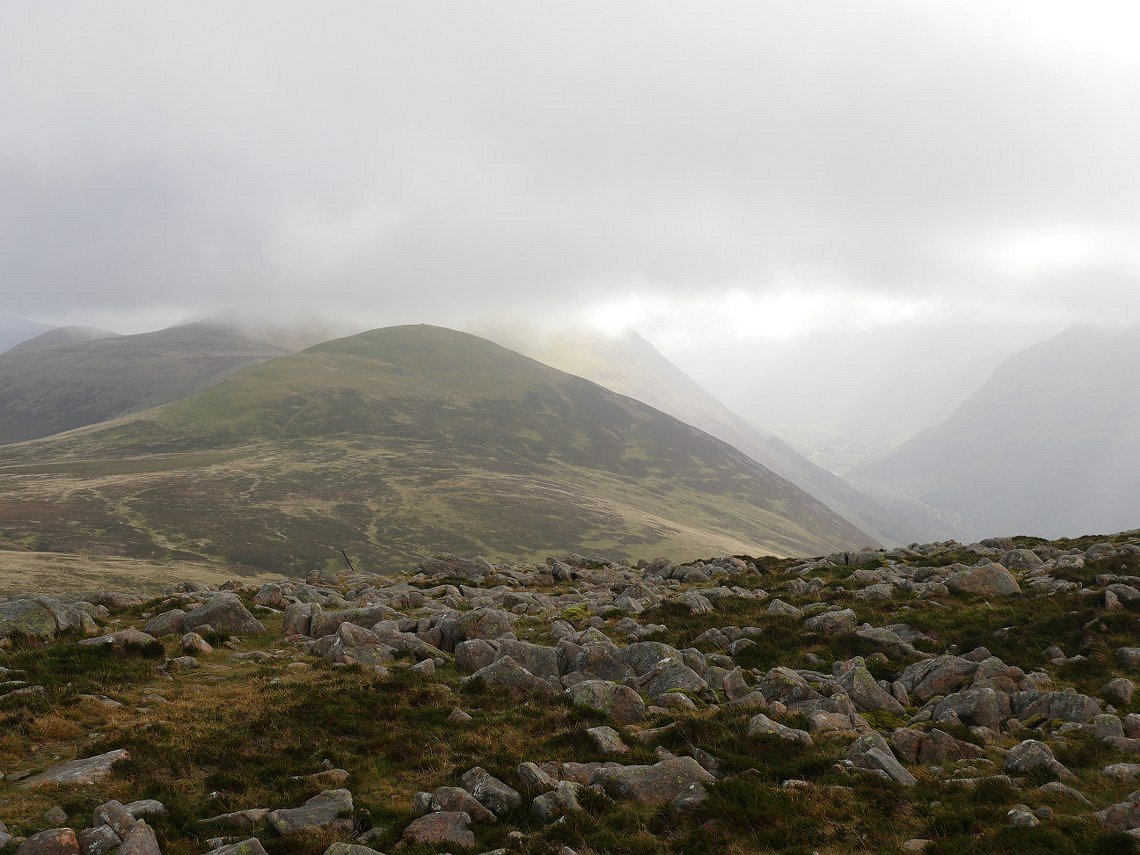
It's clear behind me with Little Dodd, Starling Dodd and Great Borne all in a line with Ennerdale Water to the left.
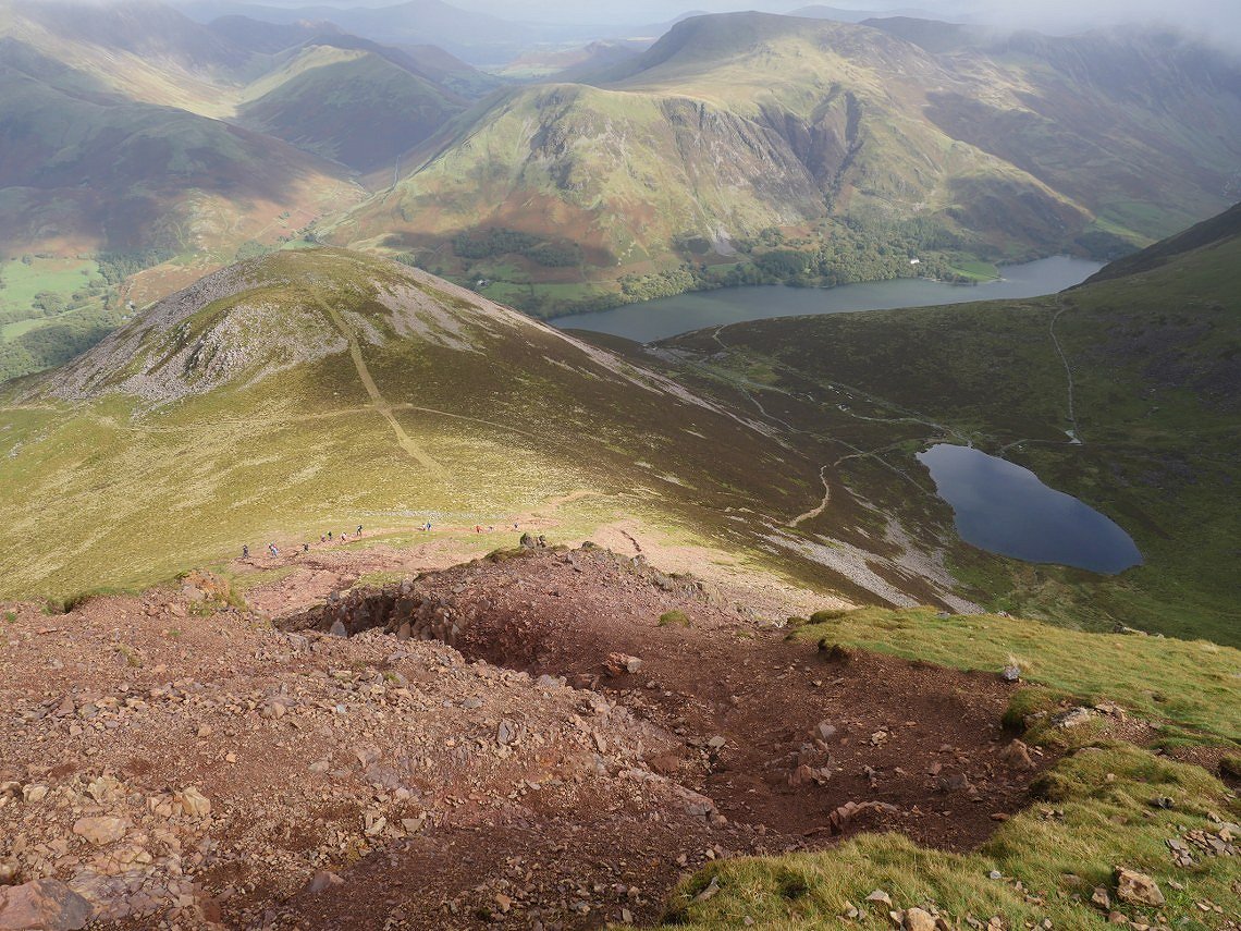
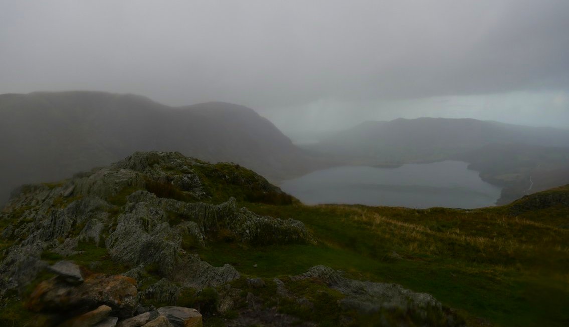
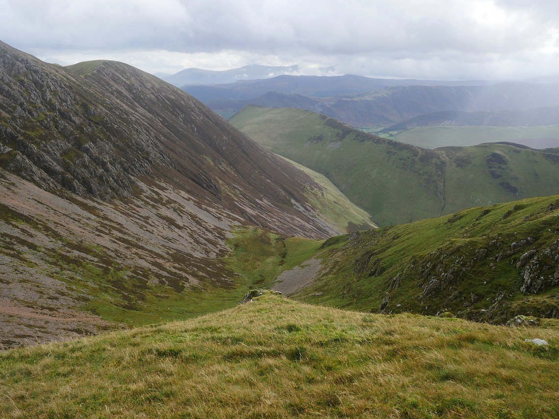
And Red Pike has cleared by the time I reach the top and here I'm looking down the terrible eroded path to the Saddle and Buttermere Dodd.
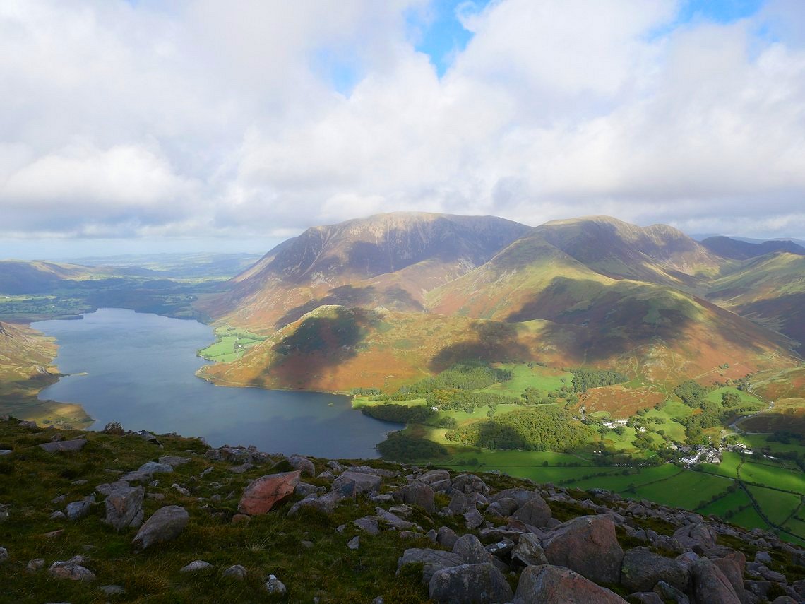
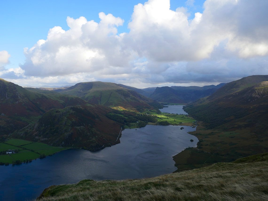
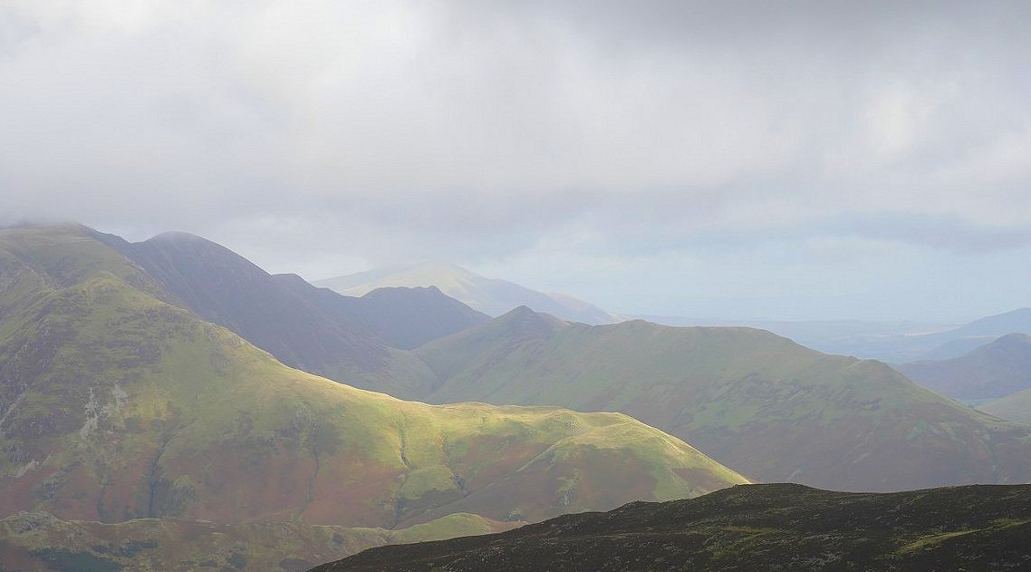
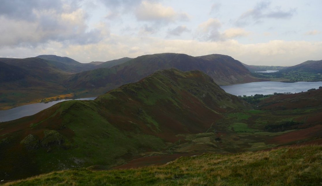
Another lovely view of Crummock water, Rannerdale Knotts, Whiteless Pike and Grasmoor from Buttermere Dodd ( 540/541 )
And in the other direction is Buttermere with the High Snockrigg/Robinson/Hindscarth and Dalehead fells above and Fleetwith Pike at the head.
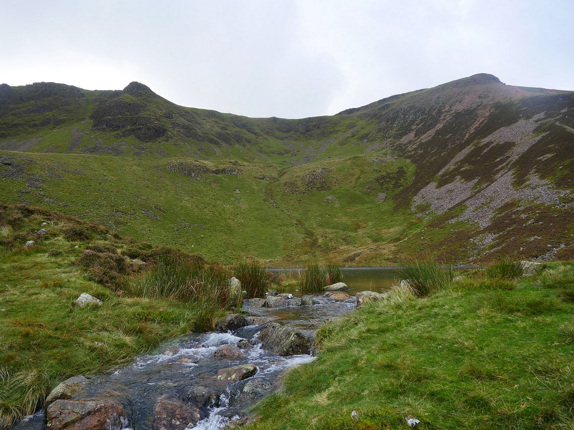
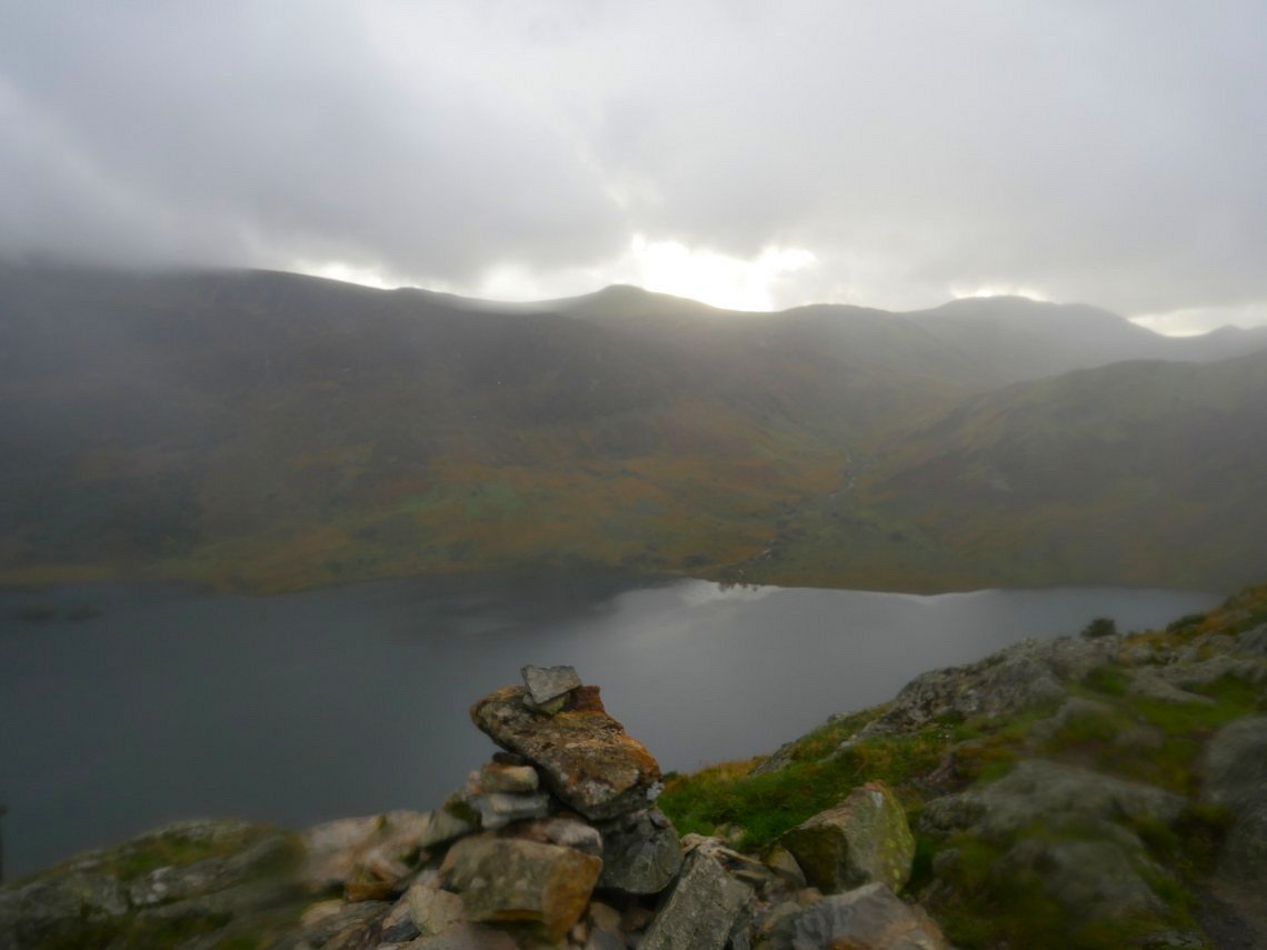
Down now to the beautiful Bleaberry Tarn.
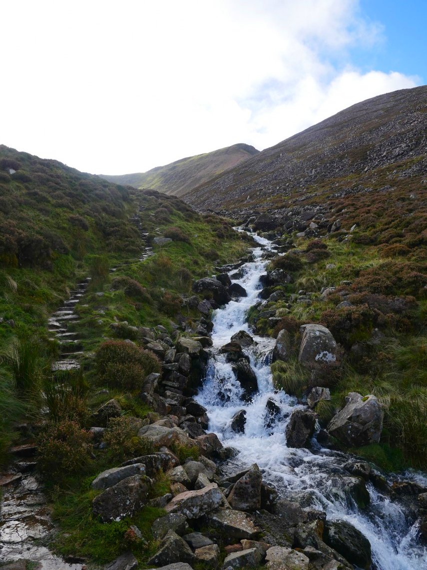
In it's upper reaches the path down follows Sourmilk Gill and this is looking up.
And this is looking down. The path leaves the stream and descends across the fellside and on tired legs it felt a long way down.
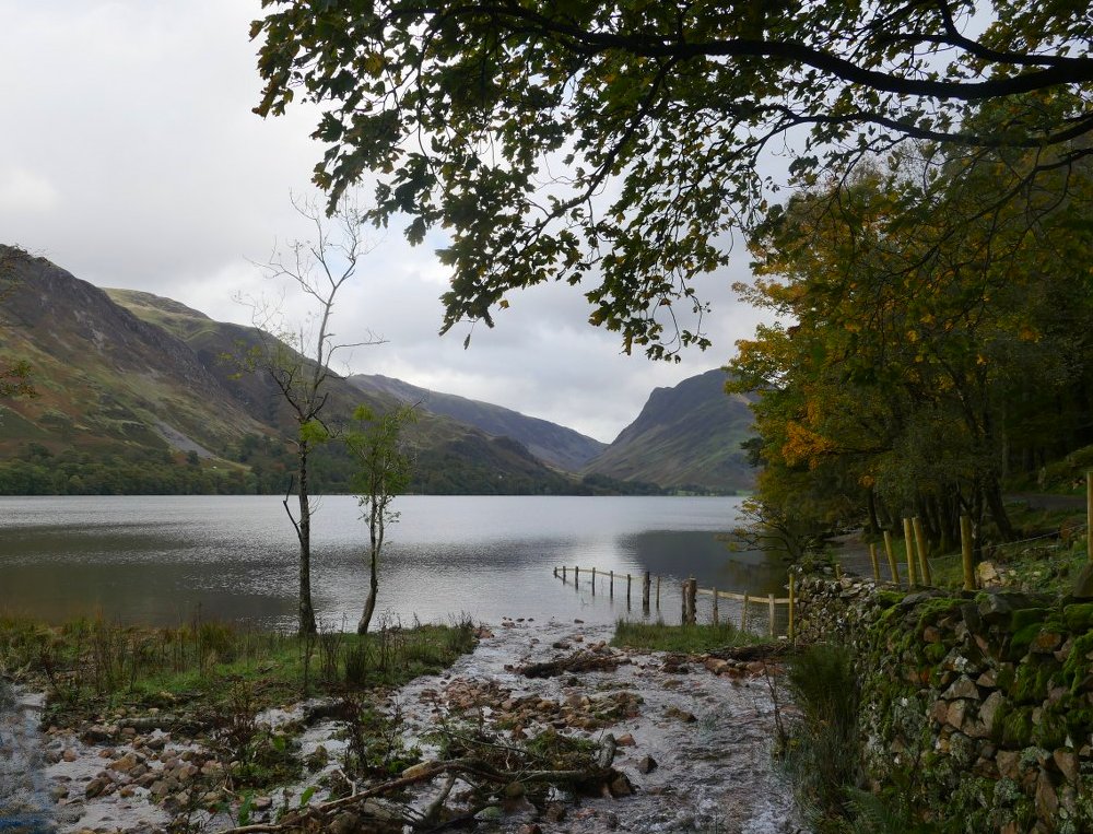
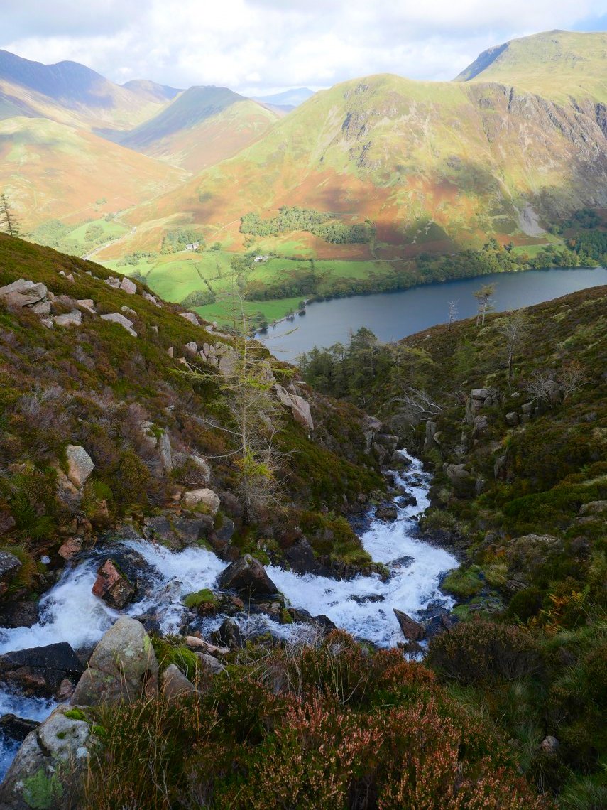
Eventually I'm down at water level.
But after a pit stop in the cafe it's back up climbing away from the village and looking along to Haystacks.
The forecast was for Saturday to be dry but it's no surprise when I got the only real rain of the weekend just as I reached Rannerdale Knotts. ( 211/214 )
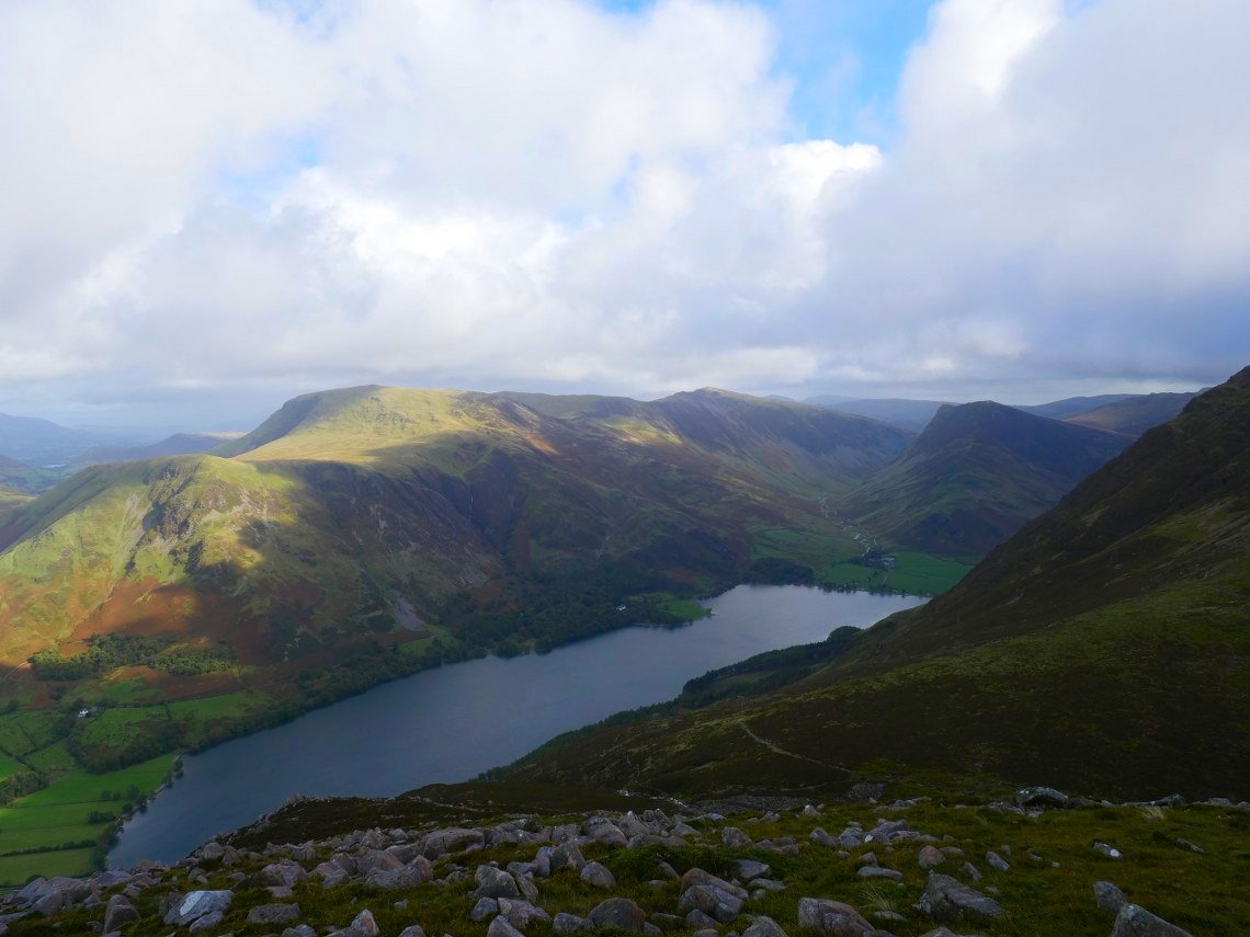
Looking through the rain at the ridge walked earlier.
The rain had stopped by the time I'd found a nice sheltered ( and flat ) spot on the side of Rannerdale Knotts looking to Whiteless Pike.
Whiteless Pike in shadow on Sunday morning.
Rannerdale Knotts from the climb.
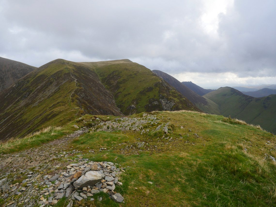
My onward route from Whiteless Pike ( 212/ 214 ).
Whiteless Pike and Rannerdale Knotts from the top of the ridge. Just a short climb to Wandope now.
And from Wandope ( 213/214 ) my final fell is gloriously lit (for a few minutes anyway ).
Before setting off to Grasmoor I have a look down into Addacomb Hole and the ridge I climbed in 2018.
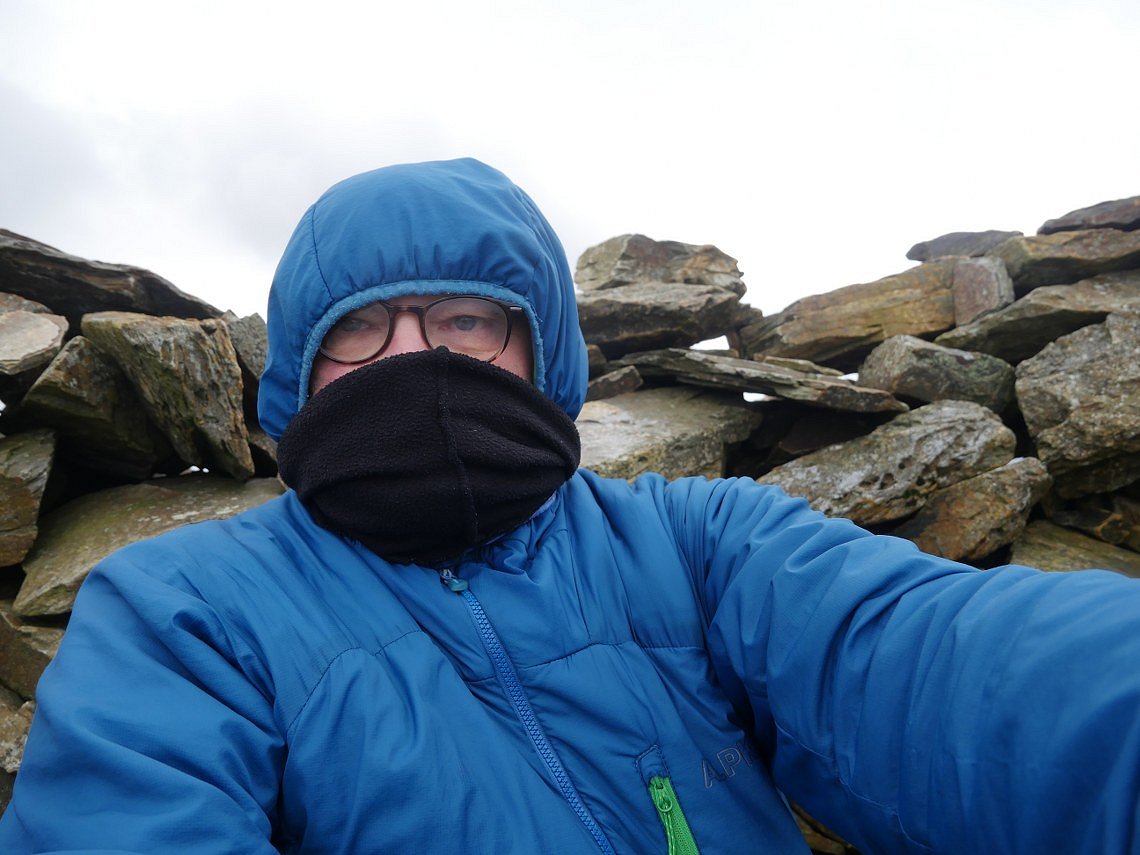
As I climbed Grasmoor the wind got up and I was blown over a couple of times and even in the wind shelter it was absolutely freezing which is why I'm well wrapped up. ( 214/214 x 4 ).
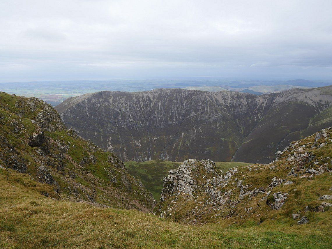
Things were a lot calmer on the other side of Grasmoor but there were a few strong gusts so I didn't get too close to the impressive crags on the north side. Whiteside is across Gasgill.
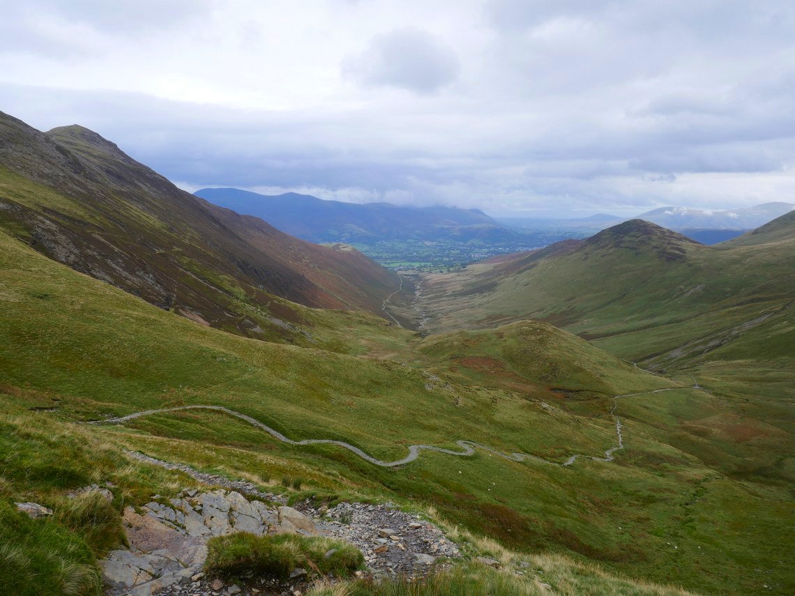
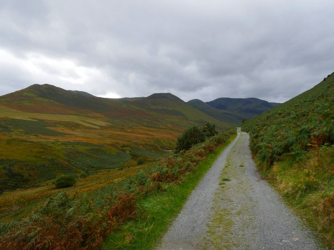
Heading down through Coledale Hause.
And looking back I kept shaking my head at the luck I'd had with the weather.
Previous walk - Skiddaw Little Man - Next walk - A trip to Yorkshire