WWW.KARLSWALKS.CO.UK
PICTURES AND TRIP REPORTS FROM MY WALKS IN THE ENGLISH LAKE DISTRICT
|
|
|
|
||||
|
|
|
|
|
|
|
|
E-mail - karl@karlswalks.co.uk |
Sue's vertigo now means that any walk or climb that involves a steep drop to either side is now out of the question so as she was busy over the Bank holiday weekend I took the opportunity to knock off a couple of routes that have been on my to-do list for years. The east ridges of Bannerdale Crags and Lonscale Crags are on my menu for today and I went up over Sharp Edge as it was on the way between the two..
I set off on the track up above Scales farm it's a lovely morning with a few wisps of low clouds wreathing the higher fell.

More extensive cloud to the south covering all but the very top of Great Mell Fell.
Descending to the footbridge over the Glenderamackin. Still a bit of cloud over Blencathra but Sharp Edge is just about clear for now.
After following the path by the river I reach the start of the east ridge. There was a clear path through the bracken to the knoll above which is the first objective.
Looking down towards Mungrisedale from the knoll.Souther Fell is on the right.
And looking up to the climb ahead from the knoll.
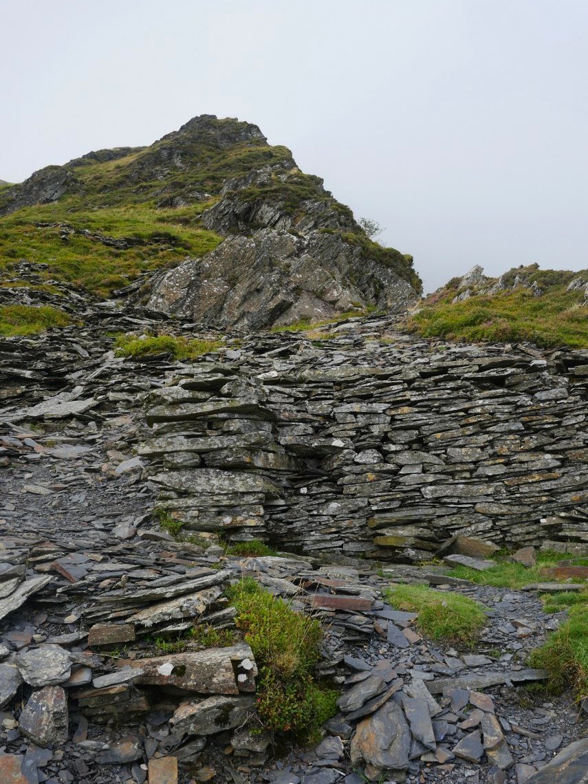
The old quarry workings and ruined hut on the ridge.
.
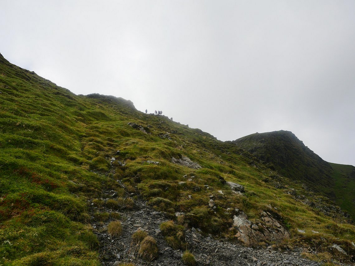
The path makes it's way up the ridge and stays well away from the edge but as today was dry and calm I ventured more to the edge and scrambled up the rocky arete.
Once on the top I was pleased to see that the cloud seemed to be lifting from Blencathra.
Not wanting to descend all the way down and then climb back to Scales Tarn I surveyed a route across the grassy slopes which would leave me a short climb to join Sharp Edge.Which you can see is above me now.
I cut across the grassy slopes from the col in the centre of the photo.
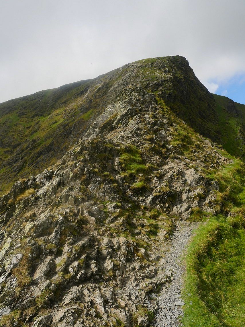
The rock was dry and there was no wind so it was an ideal day for climbing Sharp Edge.
Looking back along the edge.
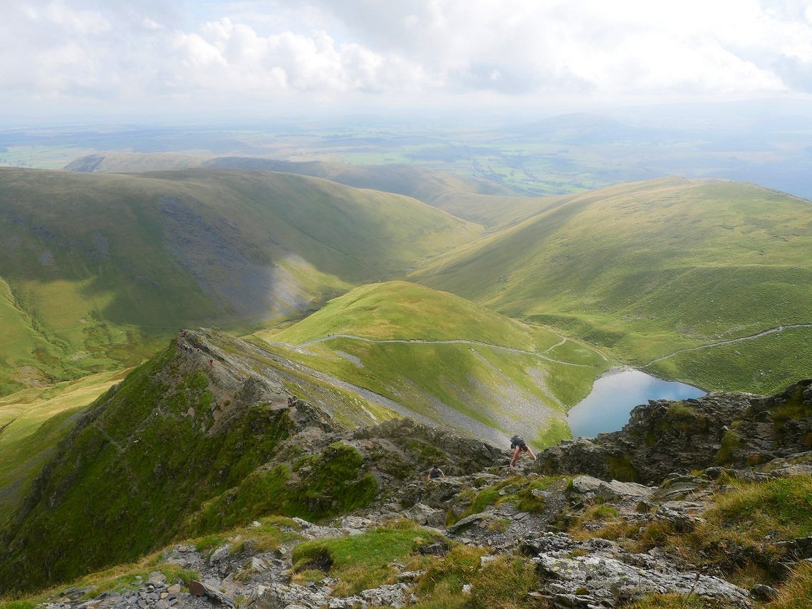
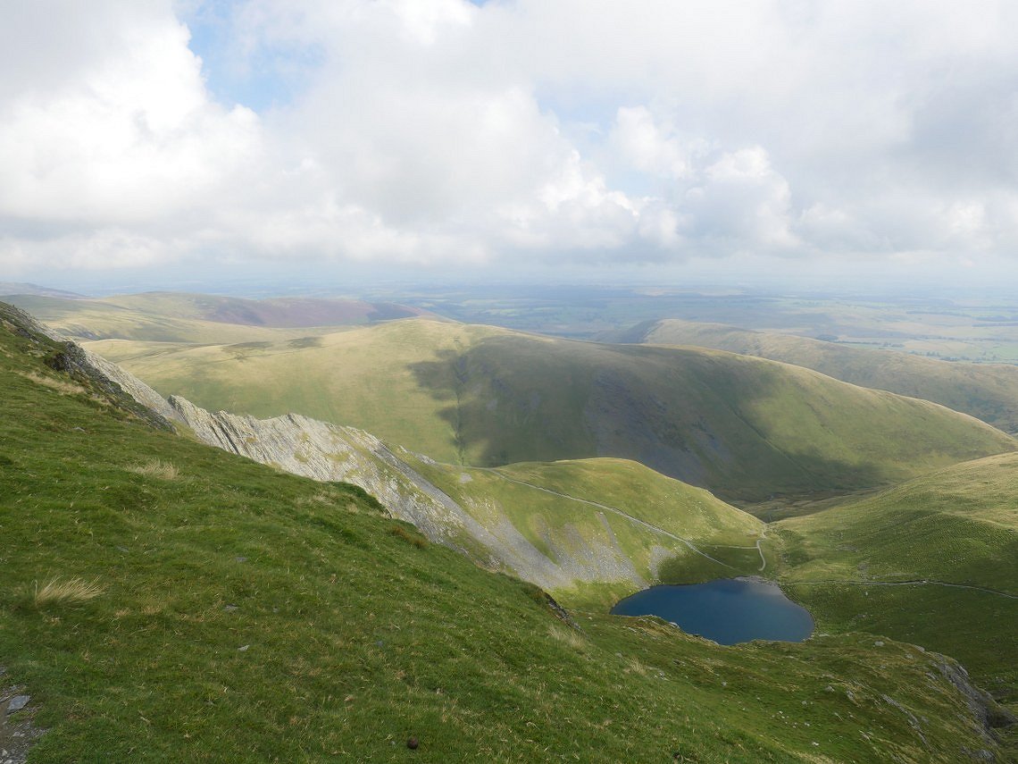
And again from higher up with Scales Tarn now in the picture.
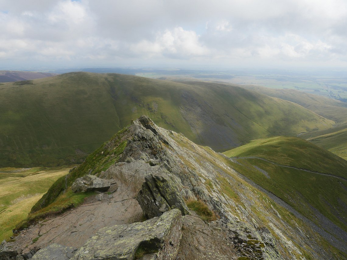
The full length of the edge seen from the start of the walk up to the summit..
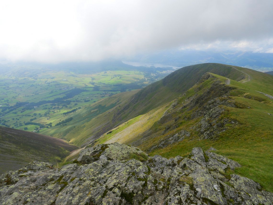
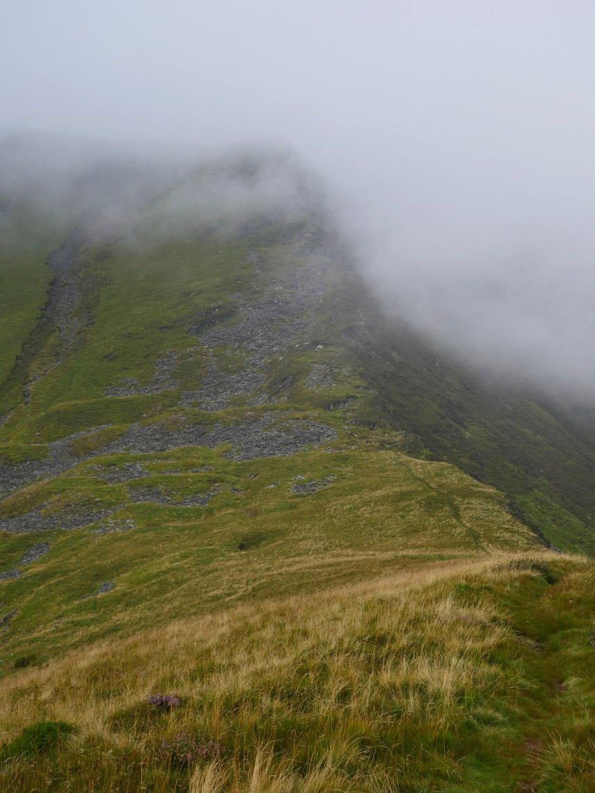
No photo of the actual top as it was packed. This is looking down from further along. There is still quite extensive cloud over the higher fells to the south.
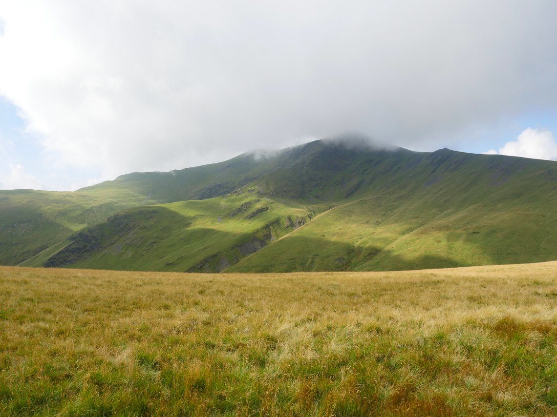
When I reached Blease Fell I started down the steep pathless grassy slopes in the direction of Roughten Gill. My final climb of the day is seen across the valley.
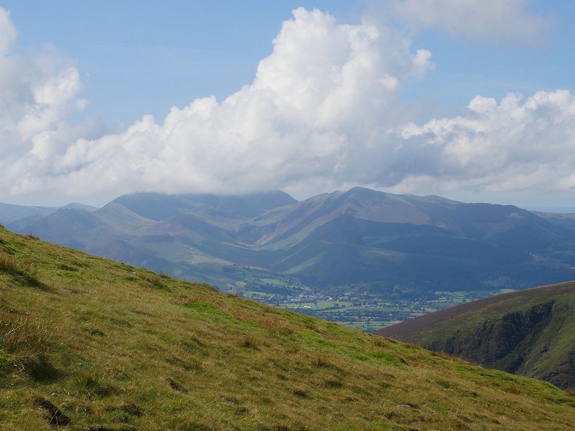
It does look as the cloud is starting to lift. Grisedale Pike and Newlands are now clear.
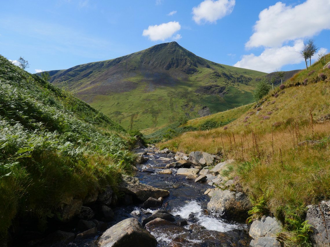
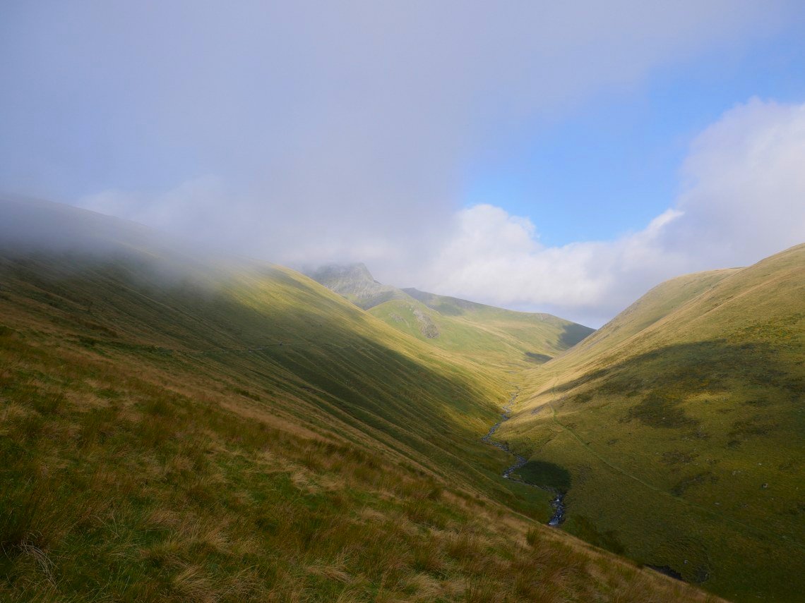
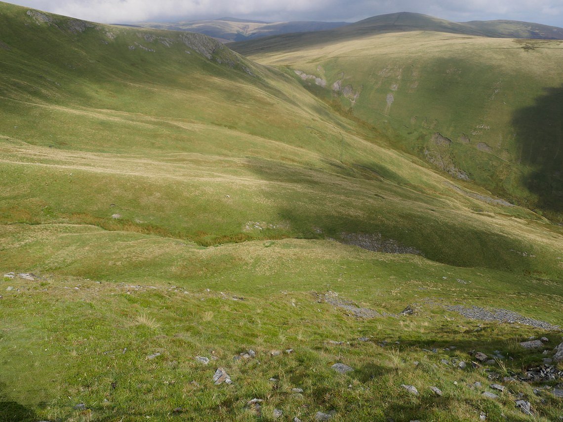
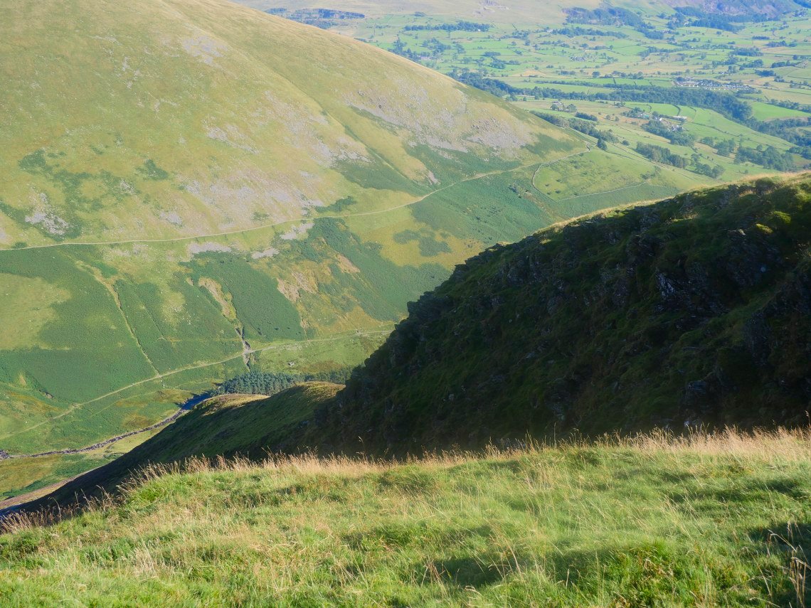
Eventually after a knee jarring descent I reach Roughten Gill where I cool my feet in the water. Lonscale Fell is well framed by the valley sides. The east ridge is quite hard to pick out from this angle It was really warm now so I spent quite a while by the stream waiting for the day to cool slightly..
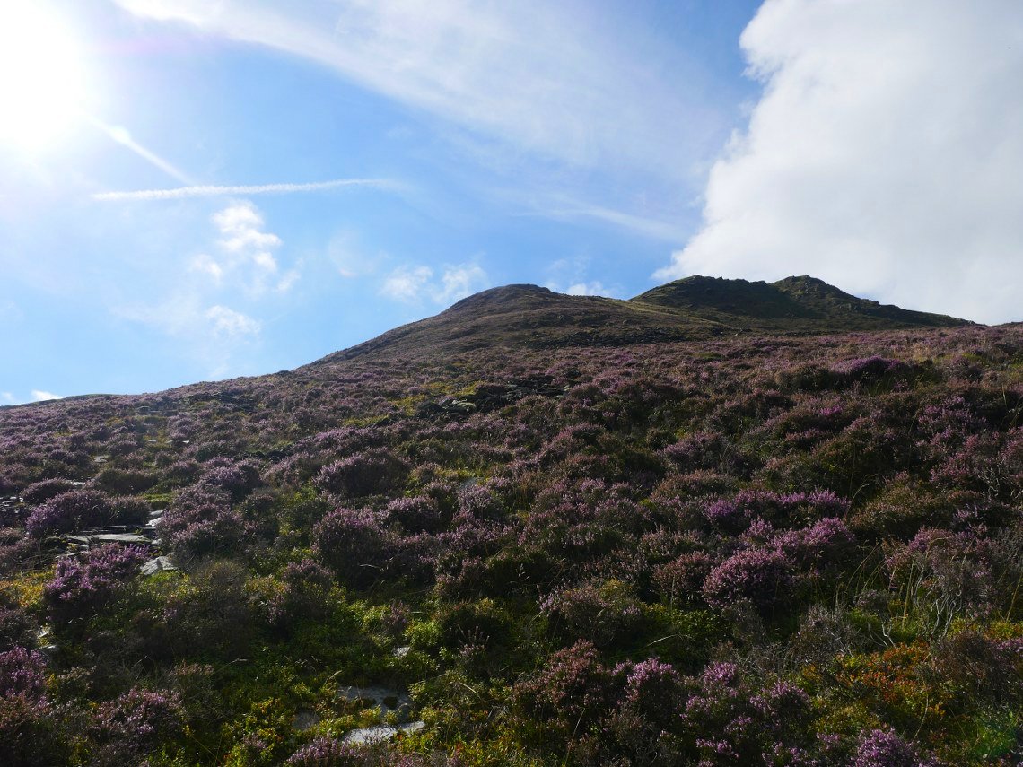
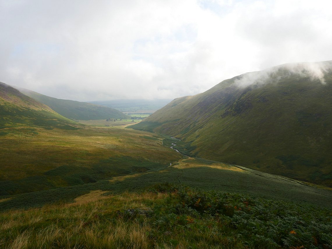
Eventually I had to make my way around the head of the valley and set off up the heather and scree slopes of the east ridge. There is no path.

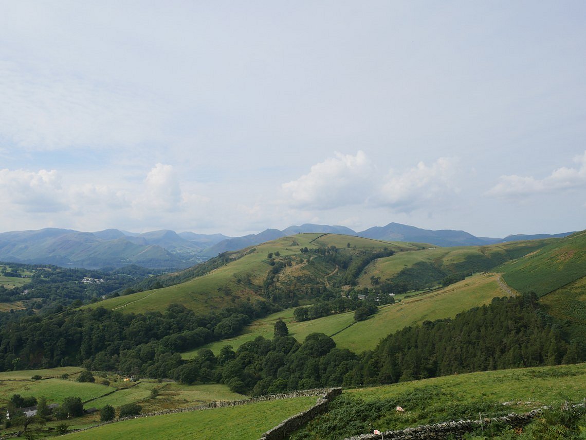
Lovely view down to High Rigg and the Helvellyn fells with Steel Fell.in the distance.
Higher up now and I'm looking across to Blencathra and the slope that I had descended earlier. It looks a long way down to Glenderaterra Beck.
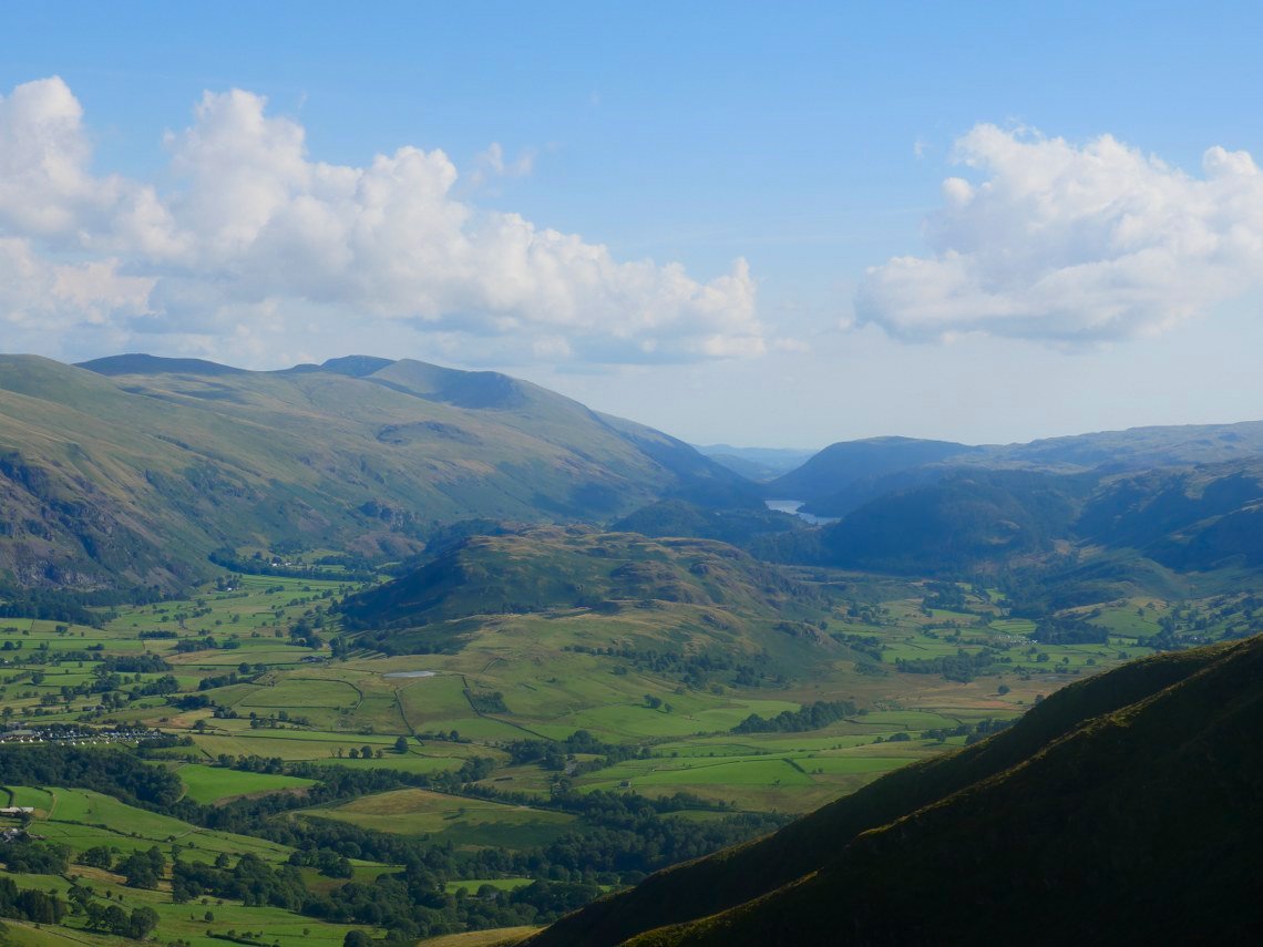
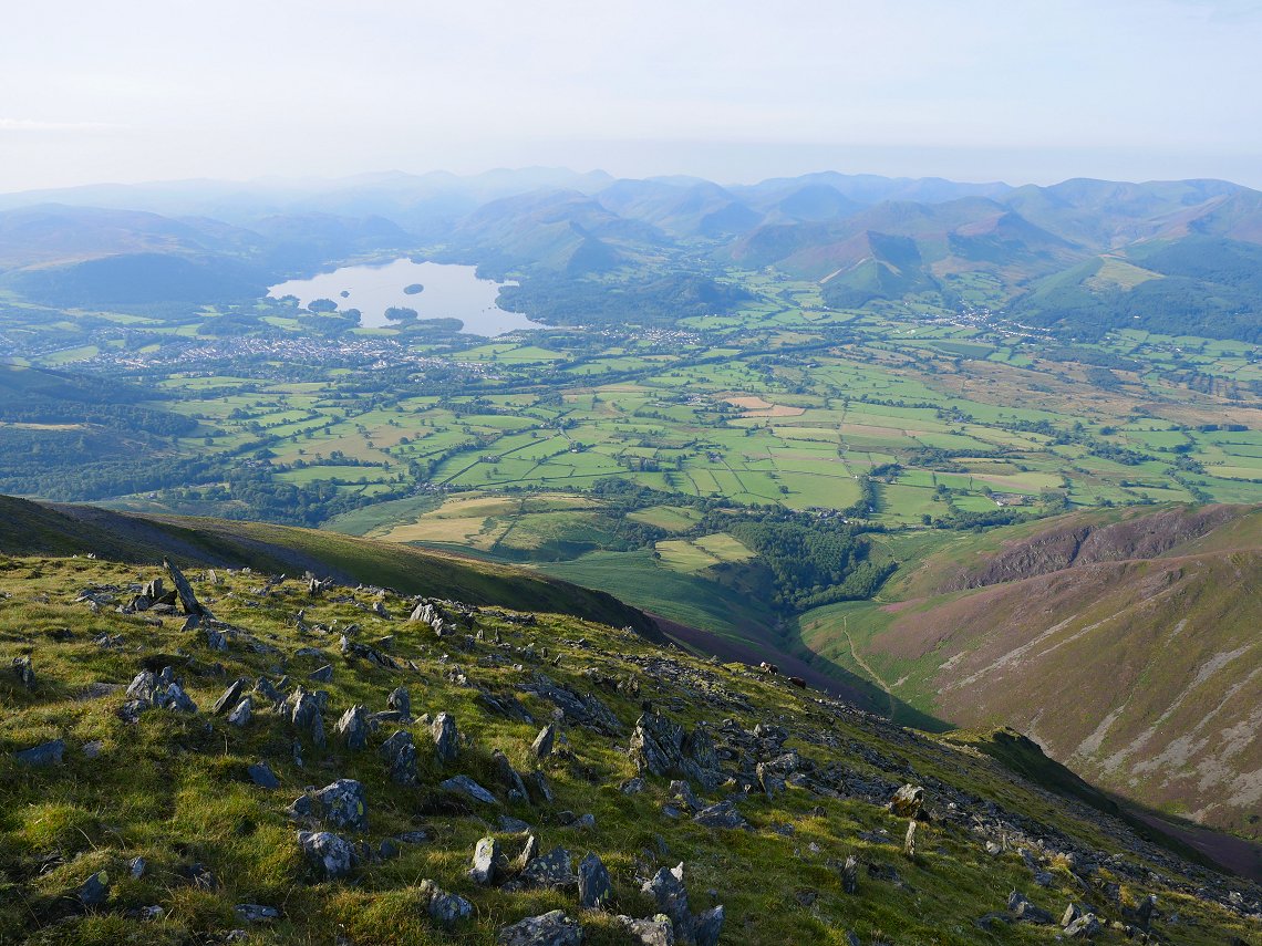
After an exhausting and seemingly never ending climb I'm virtually at the top and the view down the valley has expanded to include the vale of Keswick and Thirlmere.
And panning to the right brings in Derwentwater, the fells of the central ridge and a whole host of the highest fells in England.
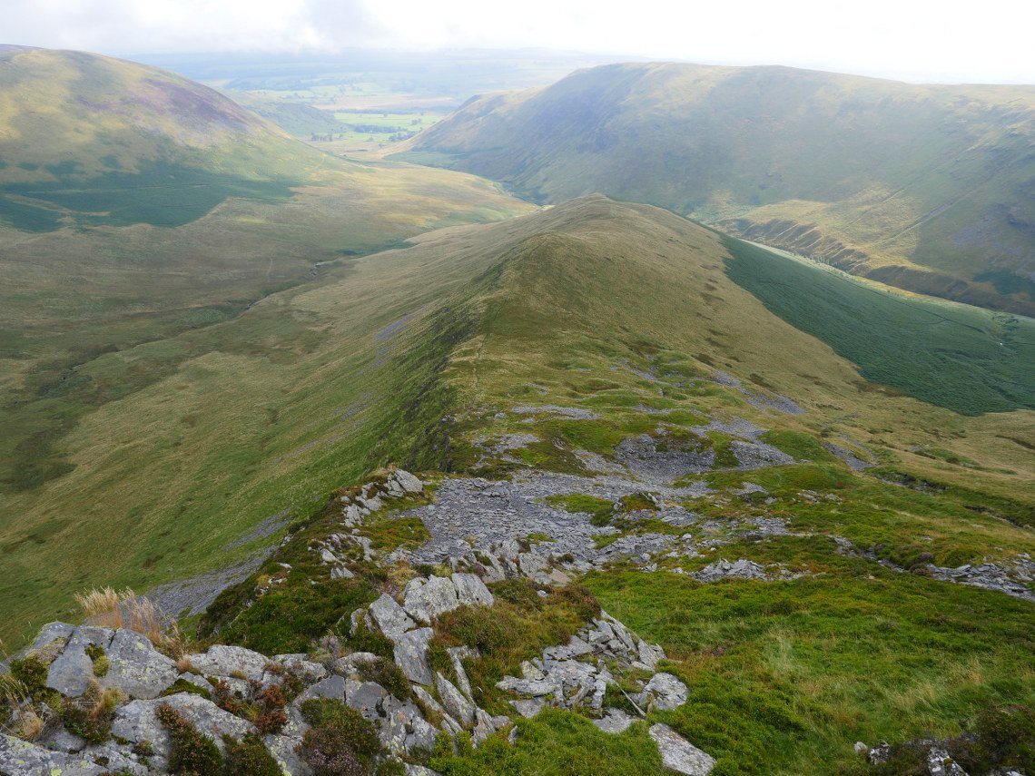
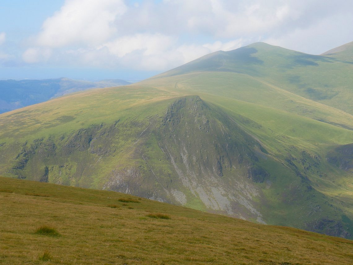
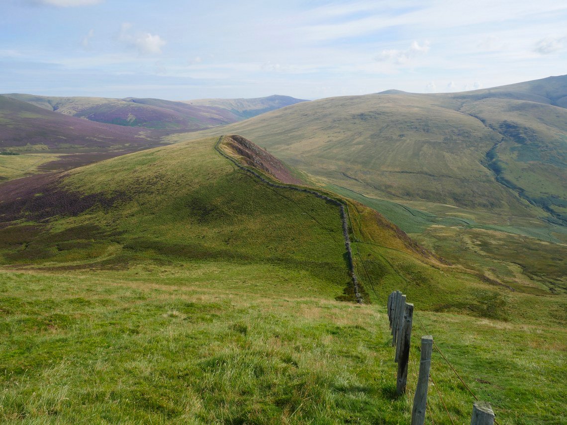
The east ridge in profile.
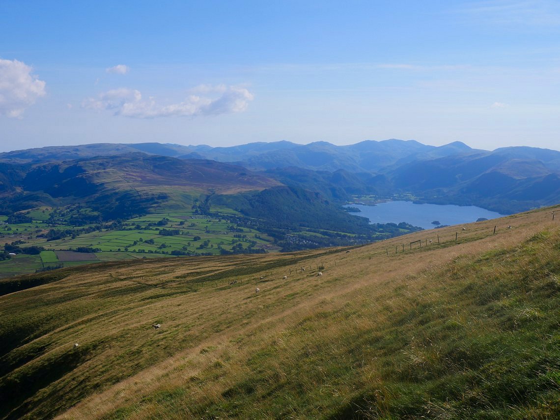
Superb view of the northern and western fells from the walk over Lonscale fell to my camp site on Black Crag which is on the north side of Jenkin Hill.
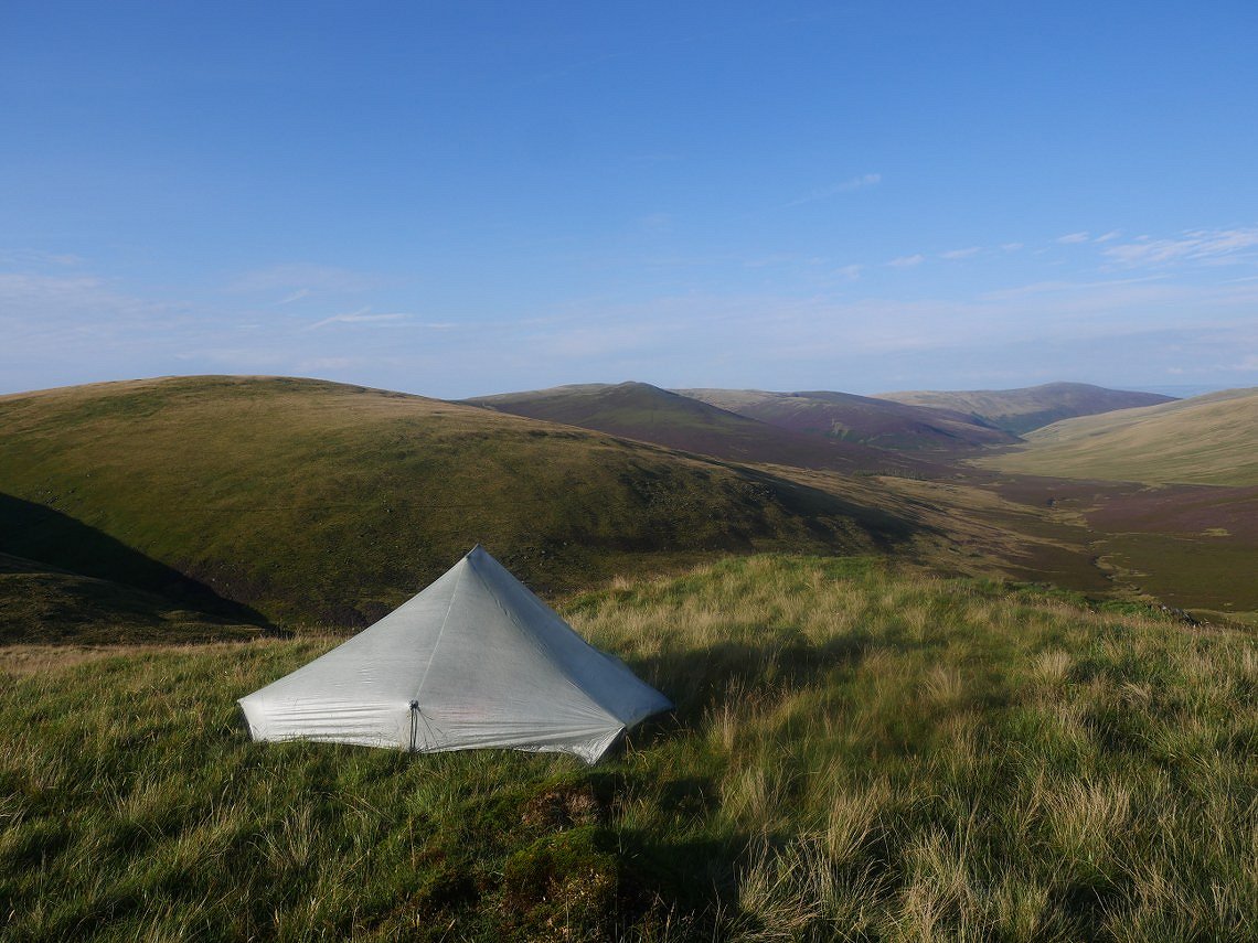
My pitch on Black Crag. The shallow valley below is the valley of the infant river Caldew.
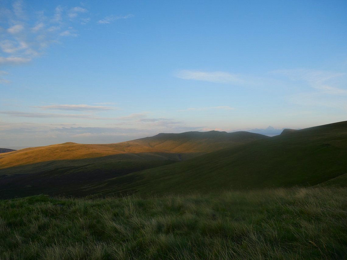
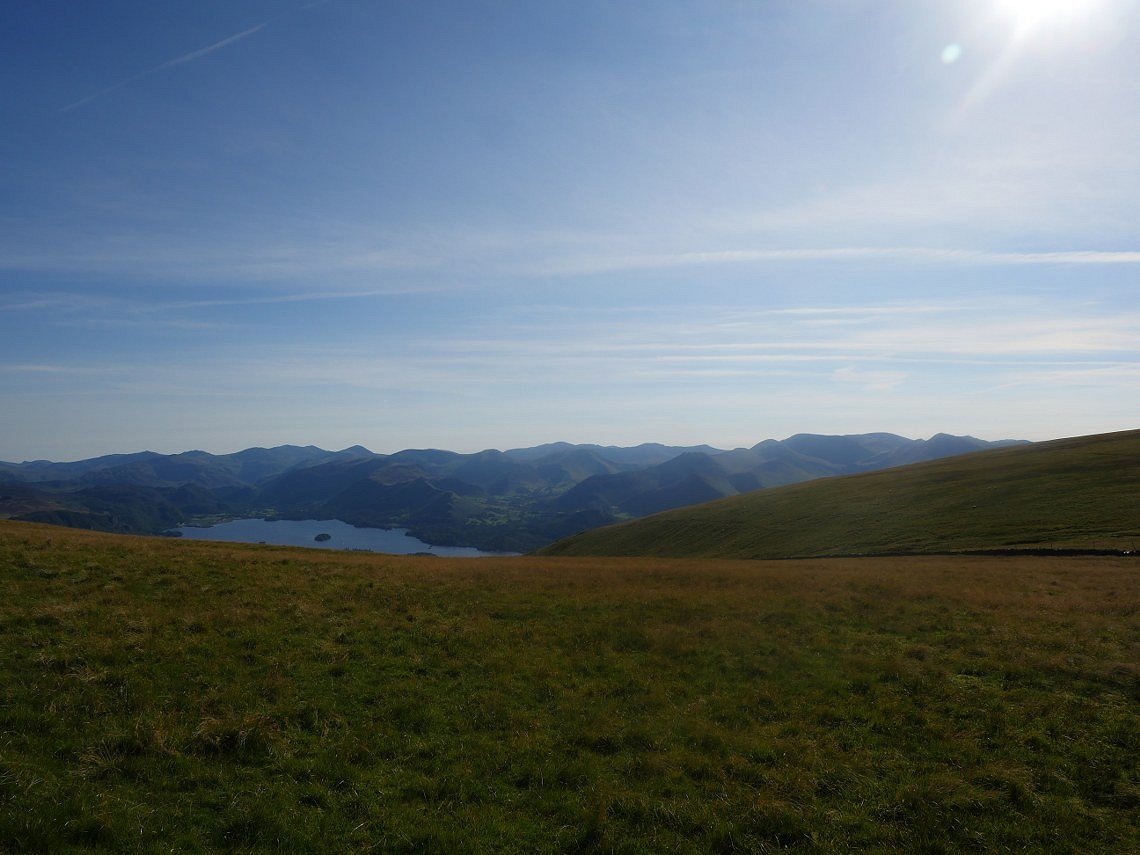
I was in the wrong place for a sunset but I Could see the setting sun light up Mungrisedale Common and the very top of Bowscale Fell.
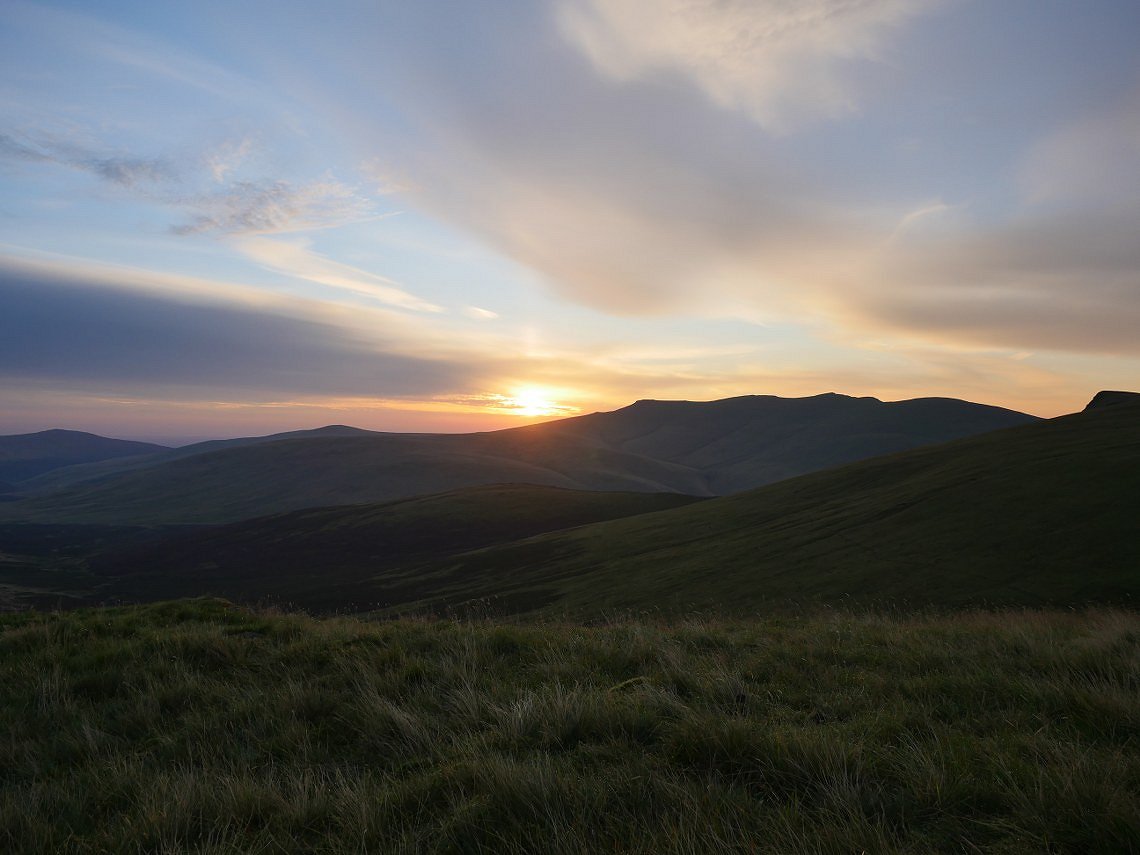
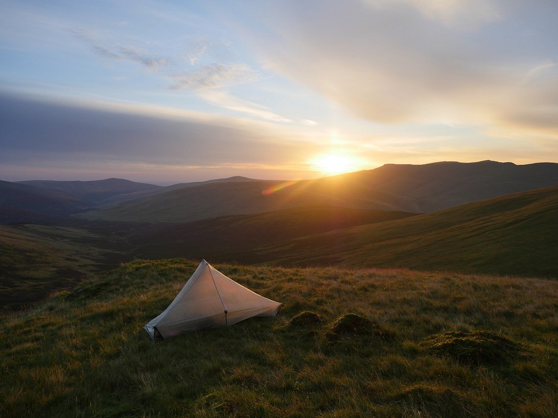
I was in the right place for the sunrise.
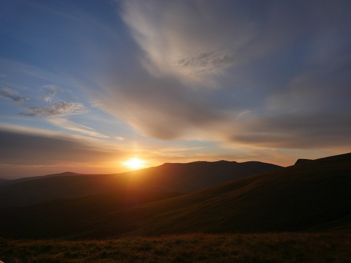
Blencathra in profile as is the pointed prow of the east top of Lonscale Fell.
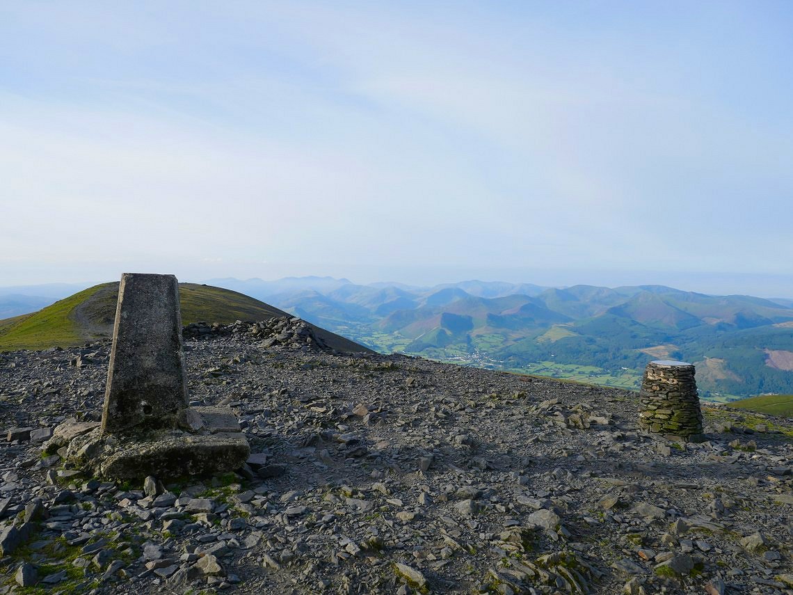
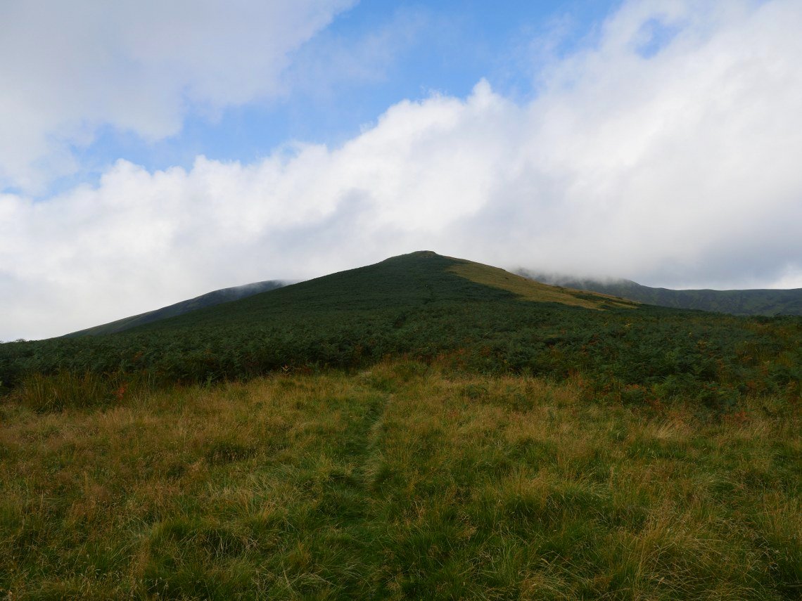
As well as wanting to climb the ridges I also wanted to tick Skiddaw Little Man of my 4th round Wainwright count so after packing up I made to climb it but then decided that I had the chance to visit Skiddaw when it was dry, not windy and deserted so here I am.
After leaving Skiddaw I made the short climb back to Skiddaw Little Man.The high fells are lost in the mist.
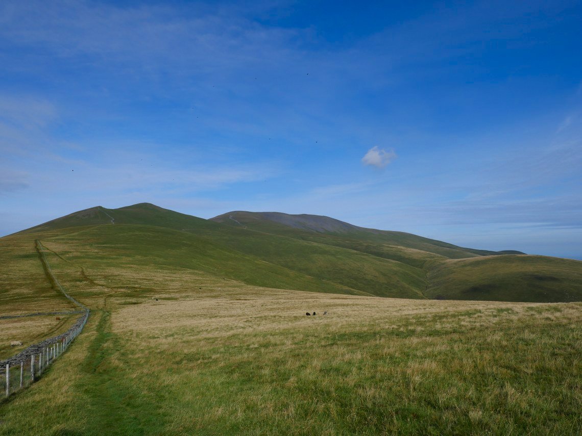
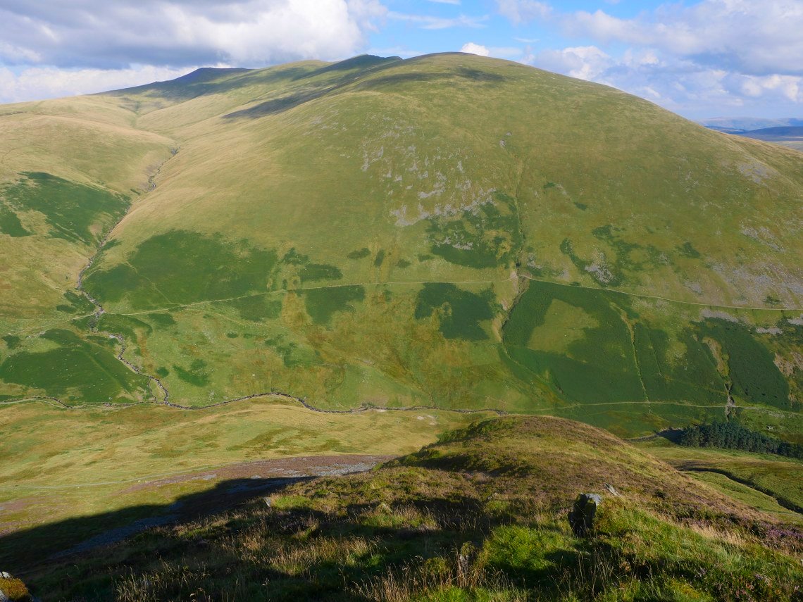
Looking back to Skiddaw lesser man, Little Man and Skiddaw from my route back to the Burnt Horse ridge..
Descending the steep section before the ridge proper.
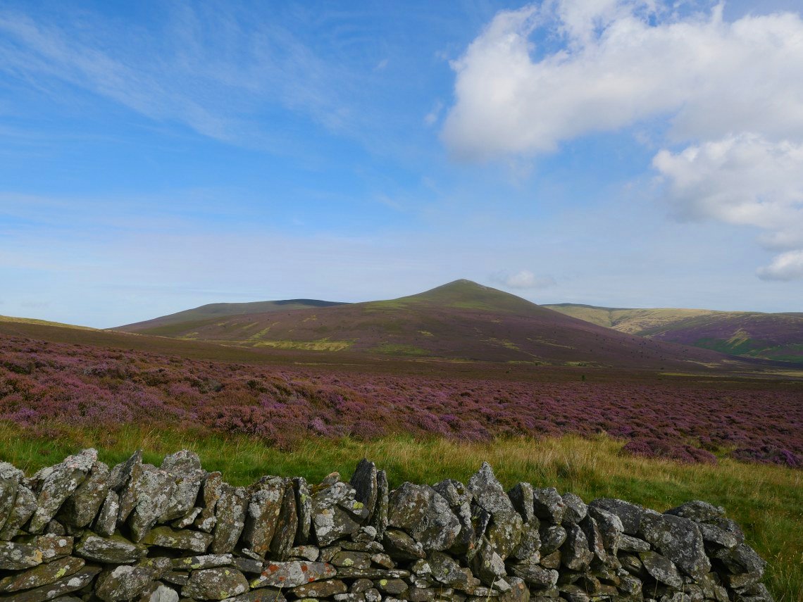
Beautiful field of heather with Great Calva beyond.
From the Cumbria way path you get to see the full length of the east ridge of Lonscale Fell.
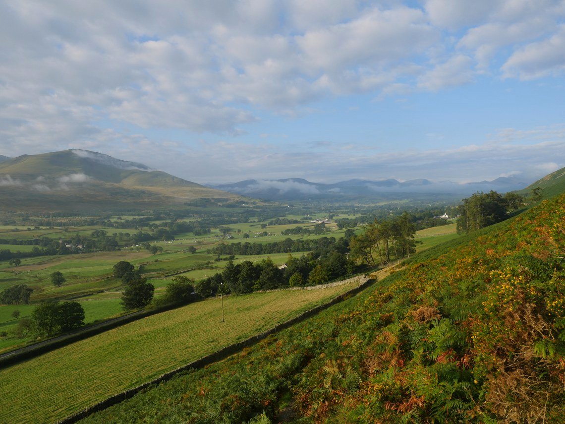
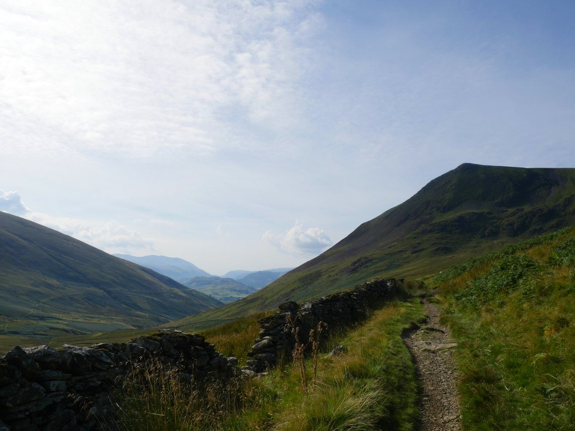
The weather has turned a bit overcast as I make my way along the track towards the Blencathra Centre. Bleaberry fell is the dark fell in the distance.
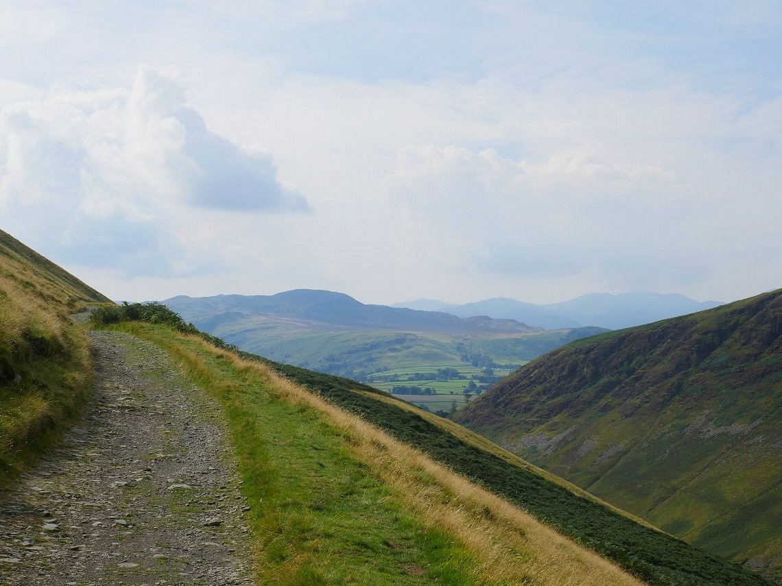
Latrigg and the fells beyond are fairly clear. From here I walked the pleasant field paths and lanes to my car at Scales.
Previous walk Easedale Tarn and back - Next walk - Little and Great Langdale