WWW.KARLSWALKS.CO.UK
PICTURES AND TRIP REPORTS FROM MY WALKS IN THE ENGLISH LAKE DISTRICT
|
|
|
|
||||
|
|
|
|
|
|
|
|
E-mail - karl@karlswalks.co.uk |
A ride up to the fells north of the A66 this week. The weather again was a bit dull and it was cold in the breeze but it stayed dry and the sun did make an appearance once or twice.
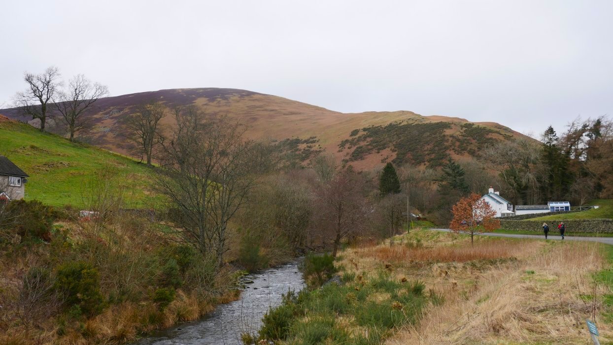
Parking just outside Mungrisedale we got a view of the ridge we are about to climb.
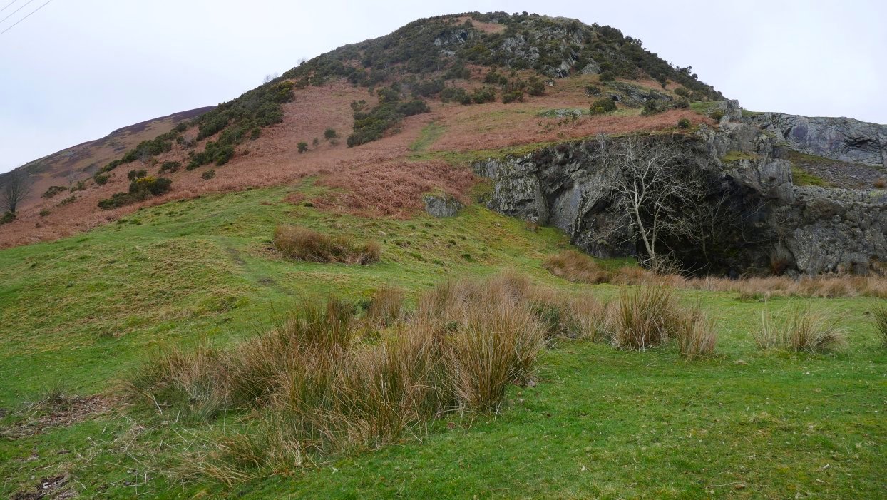
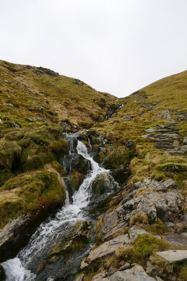
It's a steep start up past the old quarry and through the gorse to Raven Crag.
Looking over to Great Mell Fell, with Little Mell Fell behind to the left and Gowbarrow to the right.
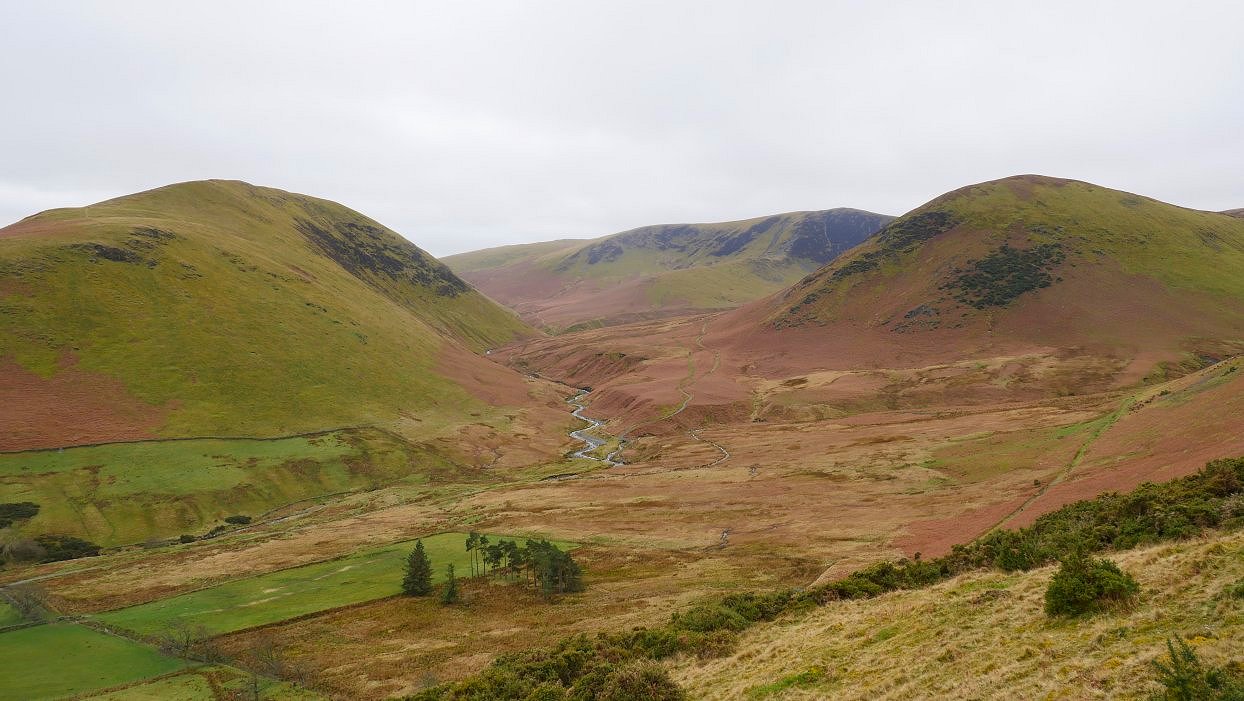
The Glenderamackin winds its way between Souther fell on the left and the Tongue on the right. Bannerdale Crags is the fell in the distance.
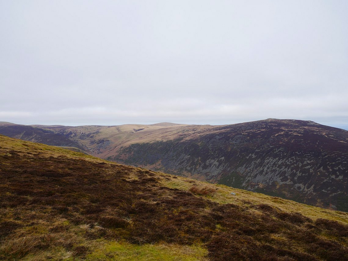
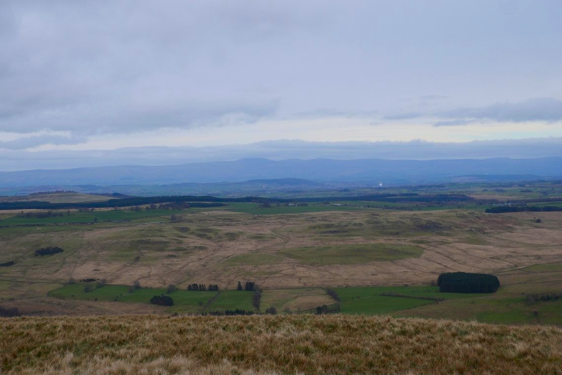
After Raven Crag the angle of the slope eases and Carrock Fell and High Pike come into view.
It's a steady plod up the ridge but the green top of Bowscale Fell is in sight. The cloud is down on Blencathra for now.
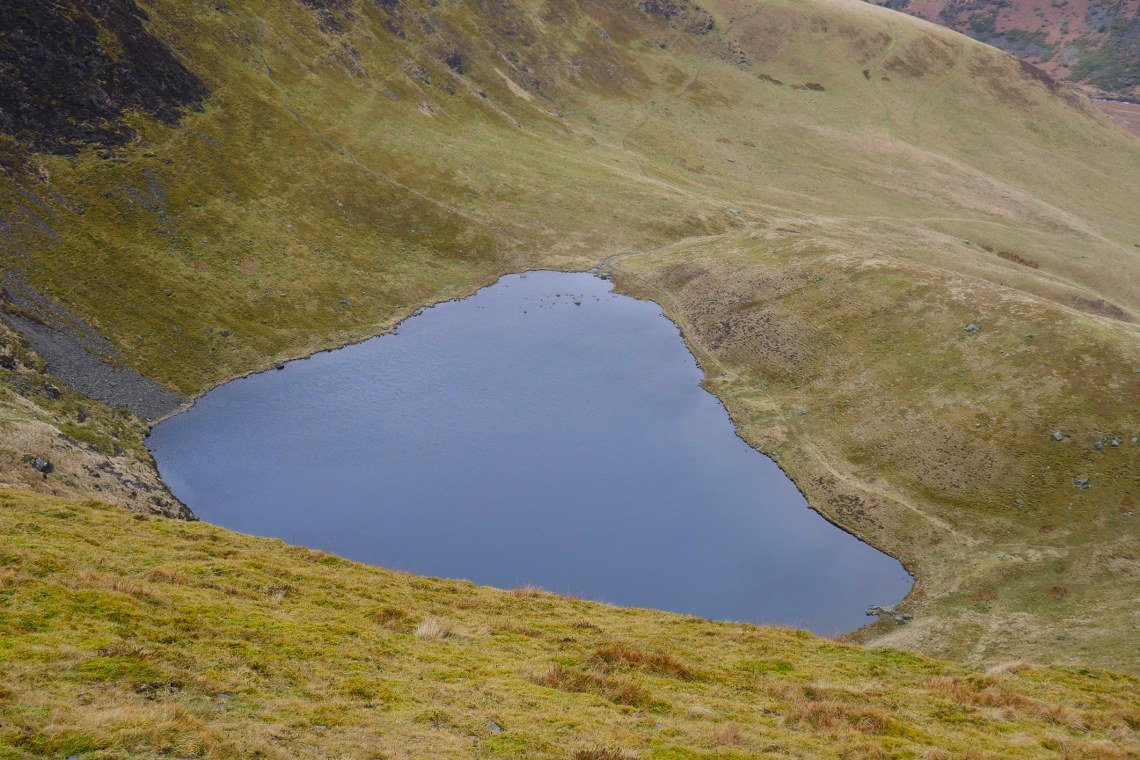
Bowscale Tarn down below. You can't see the tarn from the path you have to walk over to the very edge of the corrie.
.
A nice bit of sunshine and a clear Blencathra from our lunch stop out of the wind in the lee of Bowscale summit.
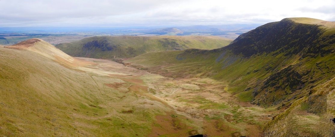
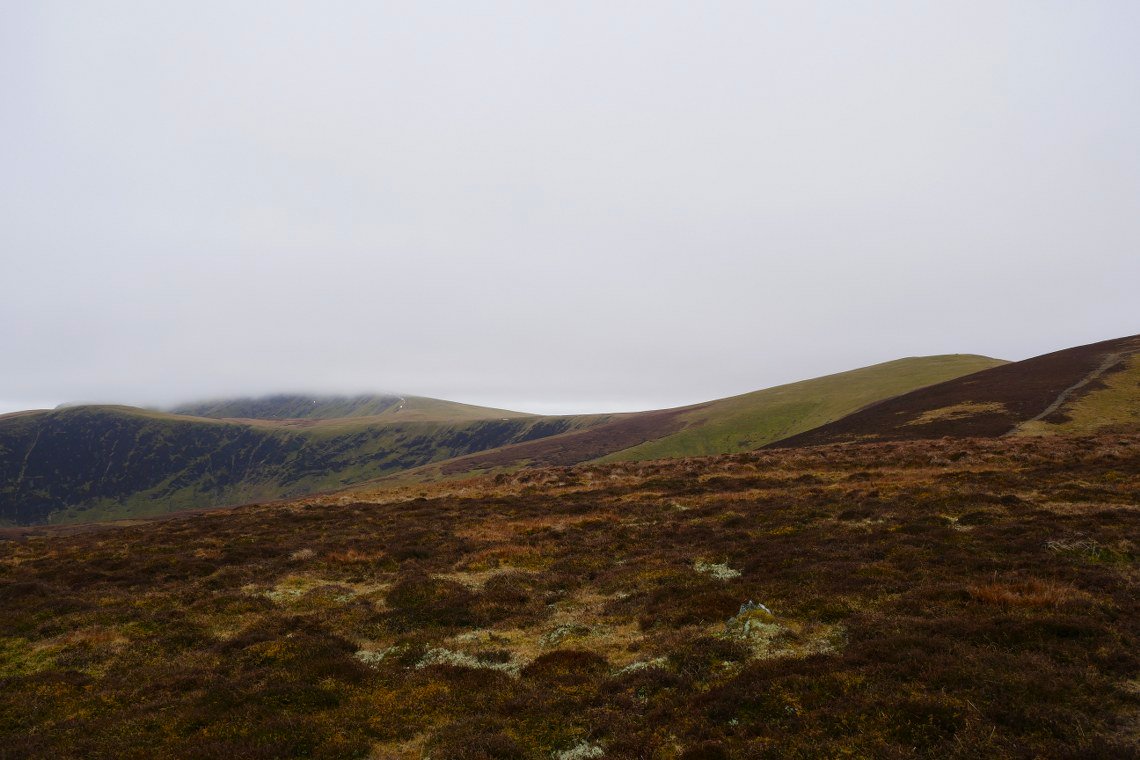
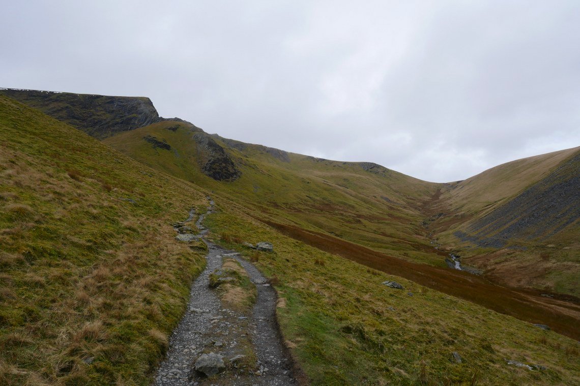
The walk in the saddle between Bowscale and Bannerdale Crags is very boggy but if you keep well over to the left it's drier and as a bonus you get a great view down into Bannerdale.
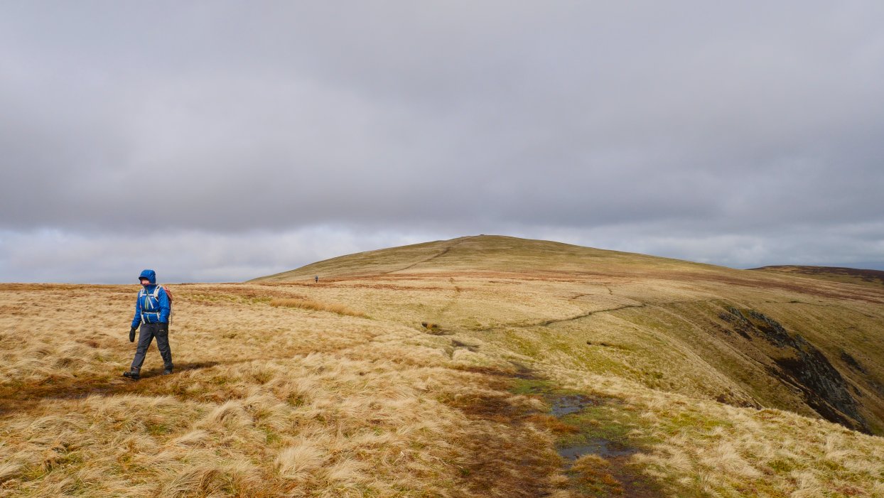
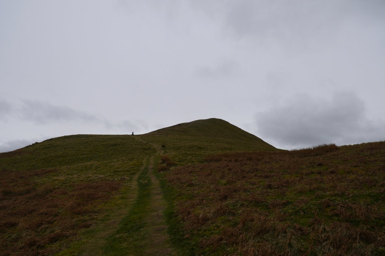
Bowscale Fell from where the path starts to gently rise to Bannerdale Crags.
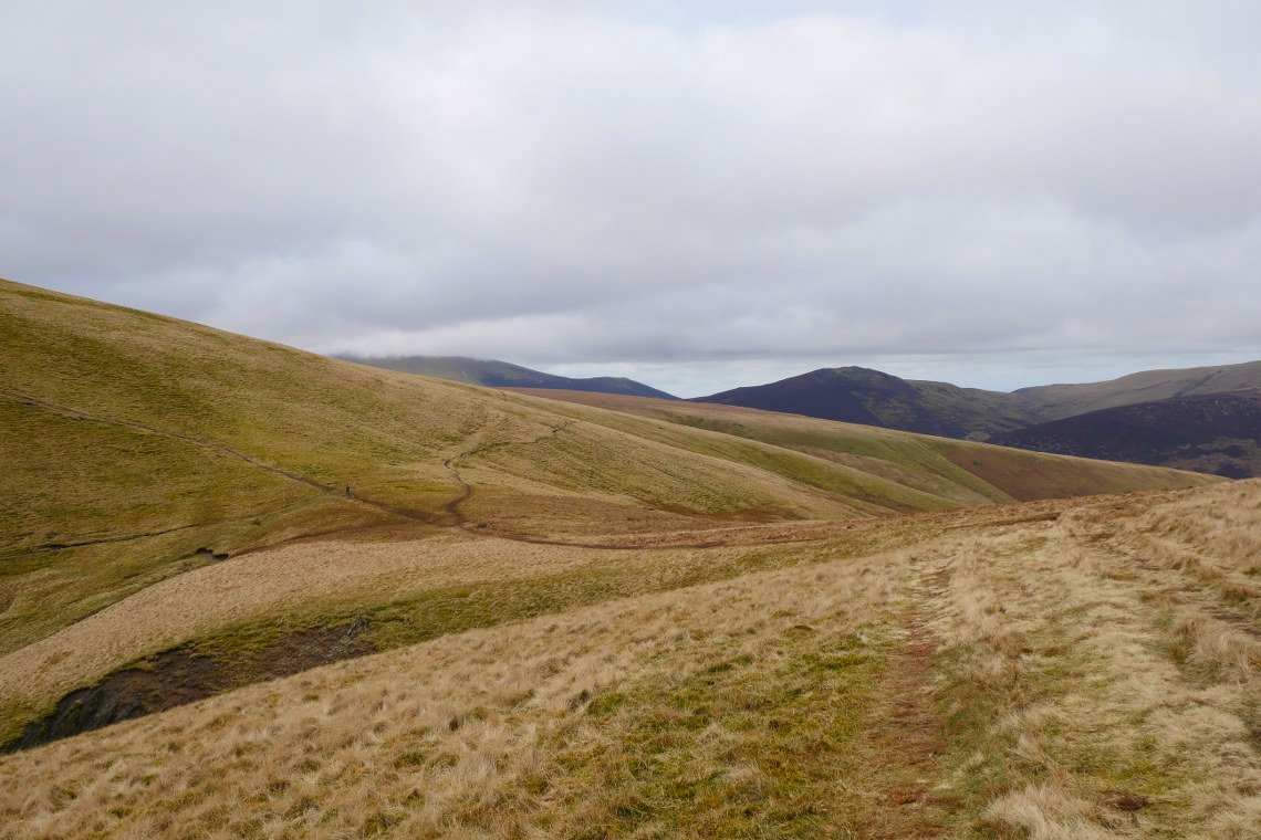
From Bannerdale we make our way down to the col at the head of the Glenderamackin. Six paths meet here. The path we are on from Bannerdale Crags, the direct path from Bowscale fell, the path leading off to the right to Mungrisedale Common, the path heading off uphill over Blue Screes and Atkinson Pike and then Blencathra and the two paths following the Glenderamackin, one on the north side and the path we are heading for on the south side.
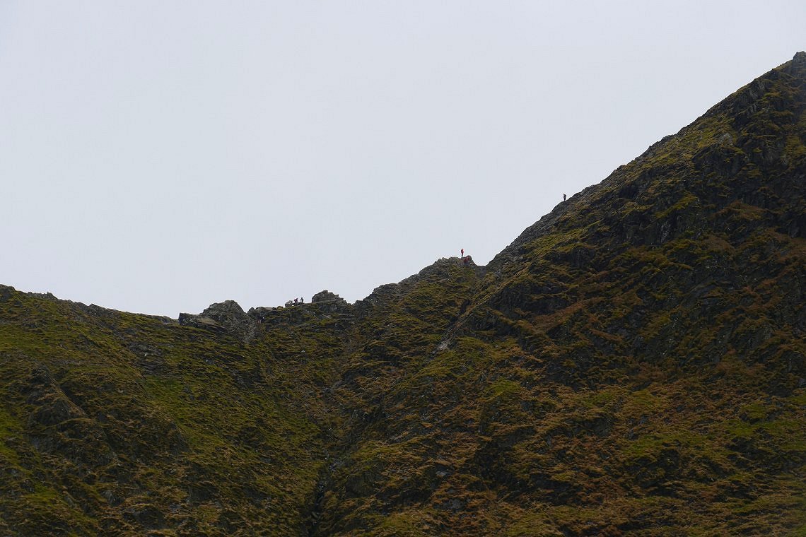
Sharp Edge was quite busy today.
Looking up Scales beck coming down from Scales Tarn.
Sharp Edge and the col from our path above the Glenderamackin.
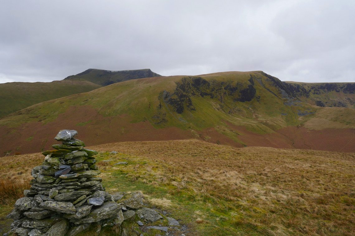
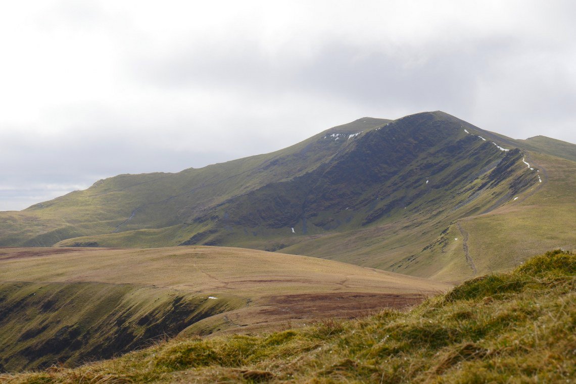
After descending to another crossroads this time above Mousthwaite Comb we start the climb to Souther Fell. Blencathra and Bannerdale Crags are well seen from the lower cairn just off the main path.
And looking up to the top of Souther Fell from the same place.
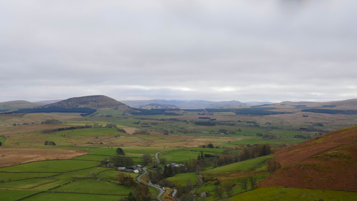
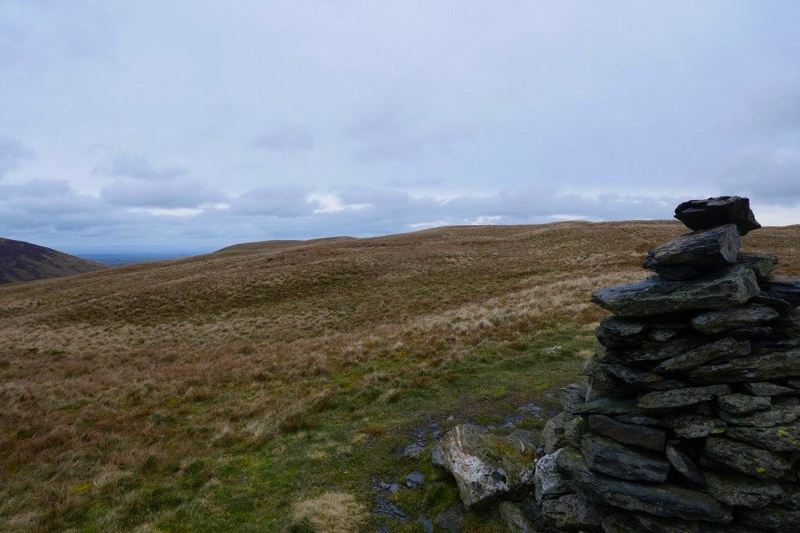
The north Pennine trio of Cross Fell and the Dun Fells in the distance.
Coming down the steep end of Souther.
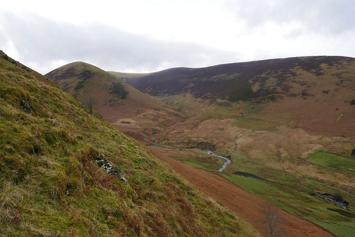
A look around the corner into the valley of the Glenderamackin.
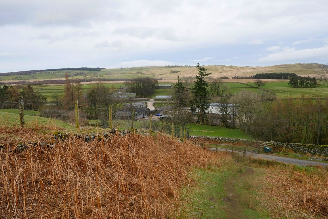
You have to take a bit of a roundabout route back to the village as there is a private field which blocks the way. There is a clear path to follow though and it's not that far to the road and for us the footbridge across the river to the car.
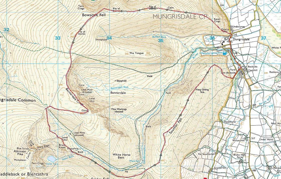
A map of our walk.
Previous walk - A walk from Moor Howe - Next walk - Coniston 14 and Wetherlam