WWW.KARLSWALKS.CO.UK
PICTURES AND TRIP REPORTS FROM MY WALKS IN THE ENGLISH LAKE DISTRICT
|
|
|
|
||||
|
|
|
|
|
|
|
|
E-mail - karl@karlswalks.co.uk |
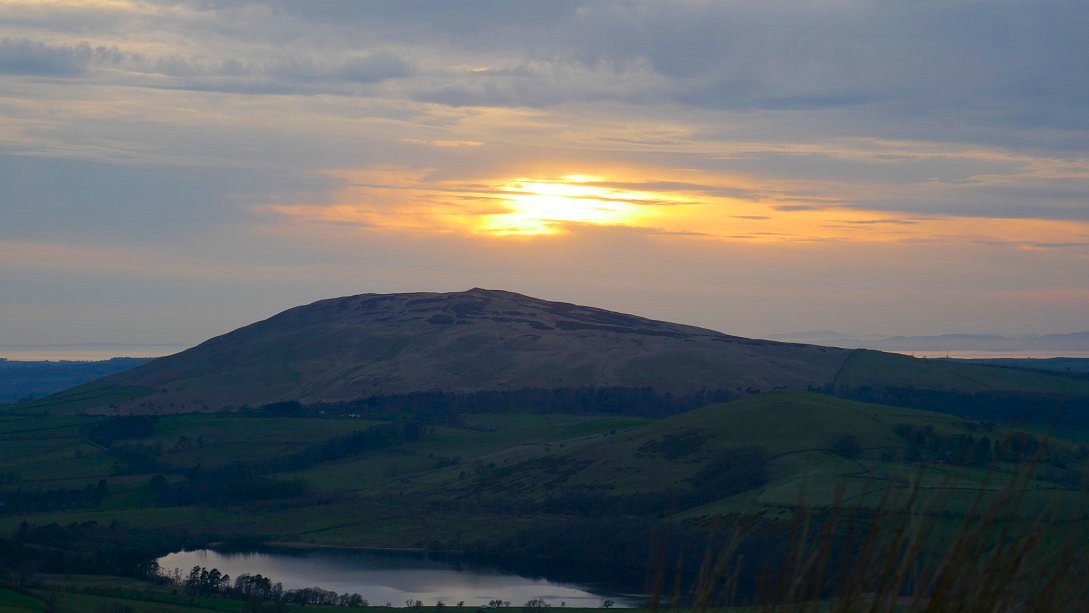
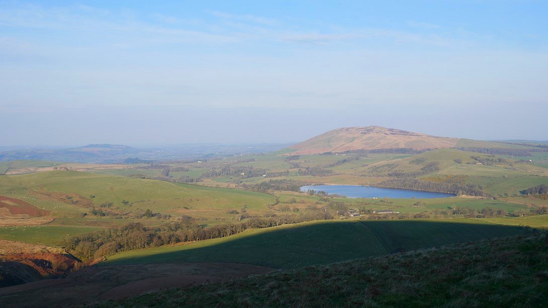
There was a decent forecast for the Easter weekend so I thought I'd go for a two night/three day walk on the generally quieter fells to the north of Blencathra.
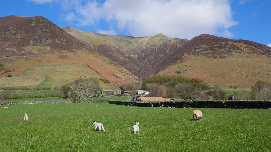
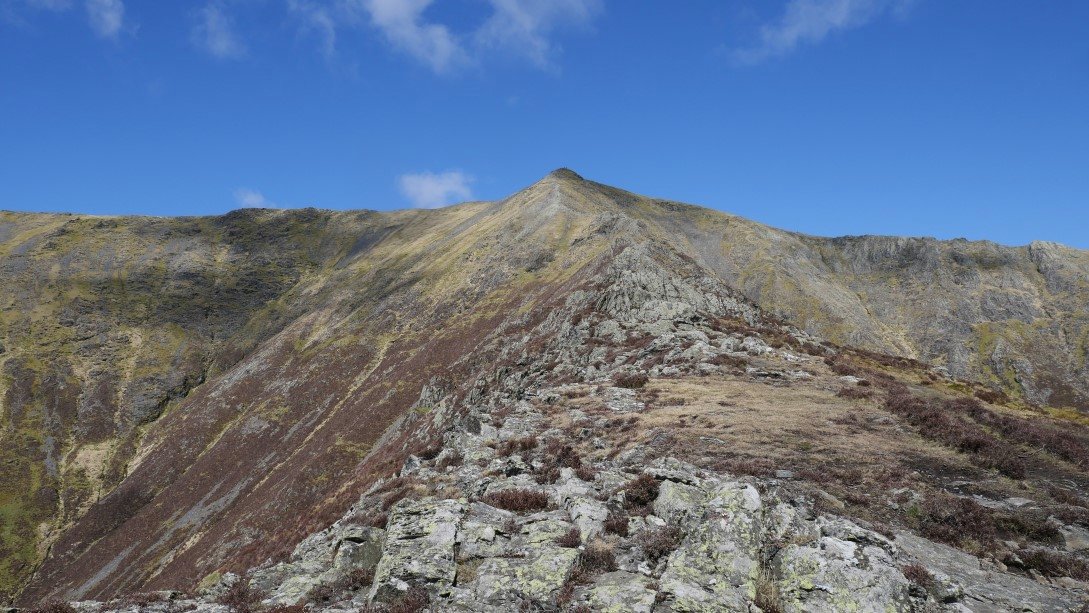
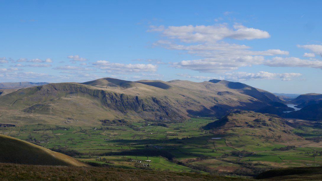
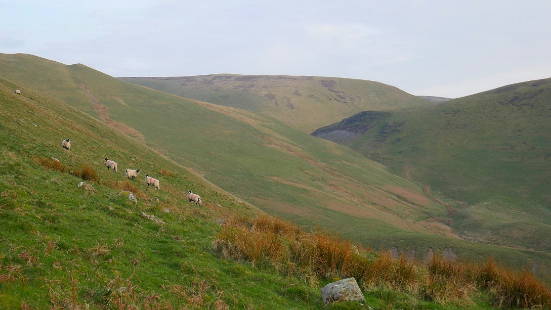
I knew Blencathra itself would be busy and there were a few people heading out of Threlkeld making for the bottom of the Hall's Fell Ridge. The only other time I'd climbed this way it was cloudy so I didn't really have any views. I didn't think that was going to be a problem today. That's the ridge above the new born lambs.
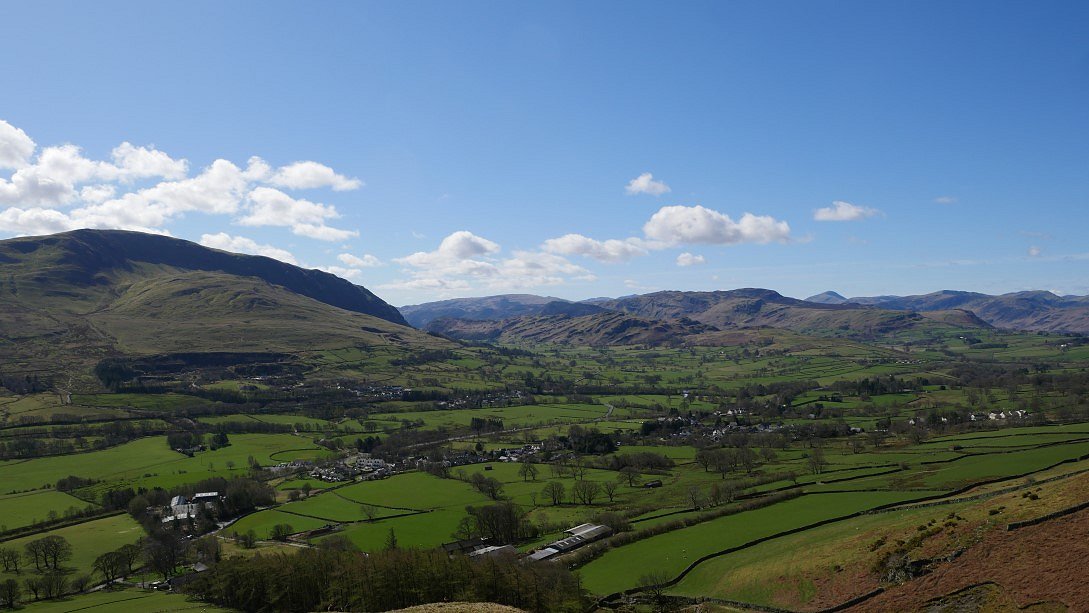
The day really was just about perfect for both climbing and views. The sunshine was very nice but the air was still quite cool so the views were long ranging and the temperature just right for the strenuous pull up Hall's Fell. The familiar mountain shape of Great Gable is prominent to the south west.
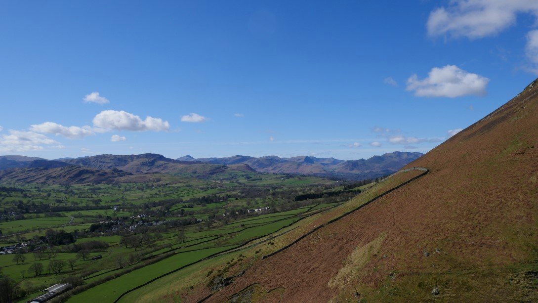
And swinging further around the the Crag Fell / Grasmoor group appear
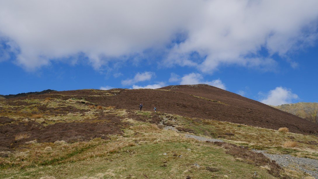
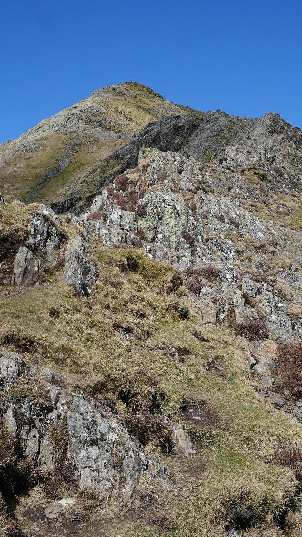
Before you get hands on rock there is a steep path through the heather to negotiate.
But after leaving the heather the excitement meter swings up to eleven.
The rock was so dry and grippy and there was no breeze at all so that even with a heavy camping pack I tried to stick to the crest of the ridge.
Another look down.
.
And looking up.
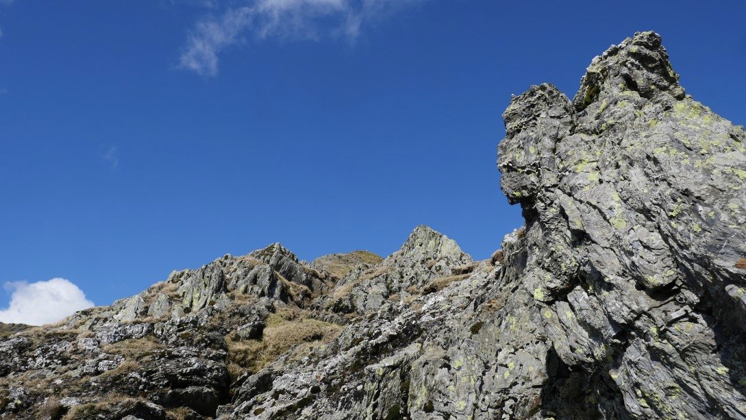
A brilliantly exciting gnarly section.
Looking back to a couple just starting on a tricky down climb.
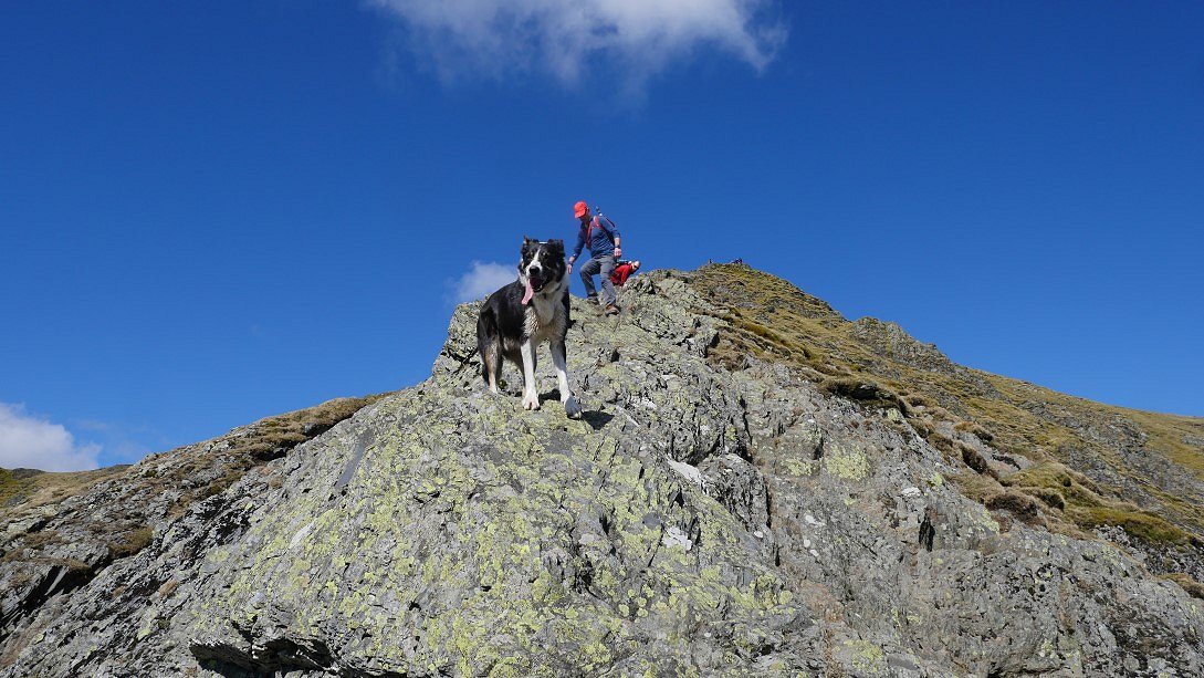
This border collie had no problem with the down climbs though.

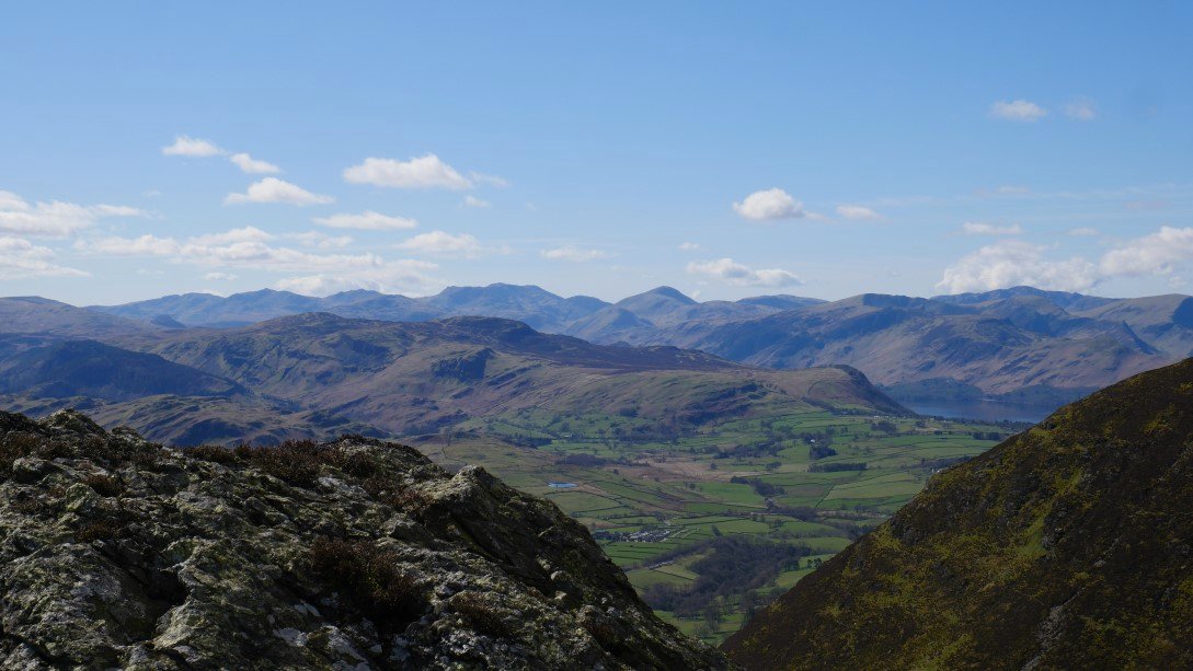
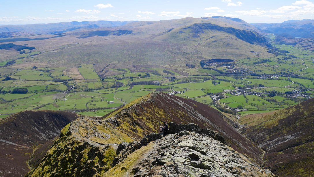
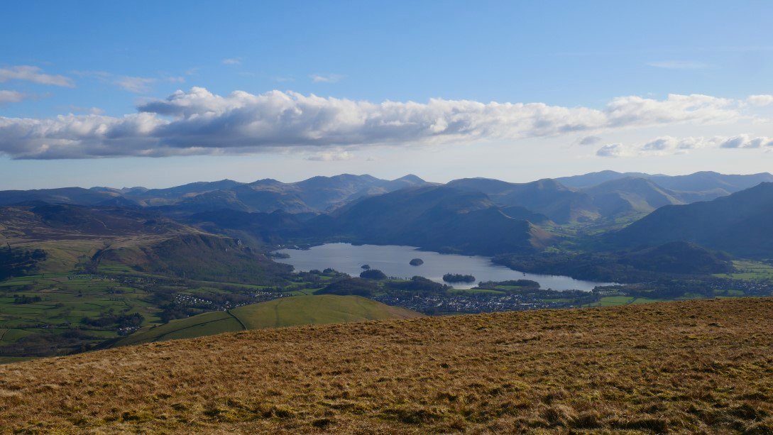
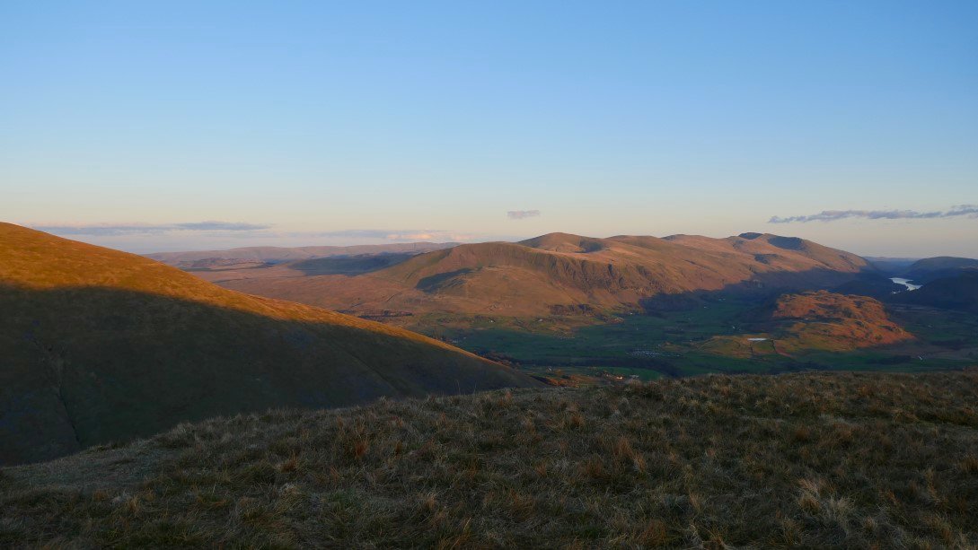
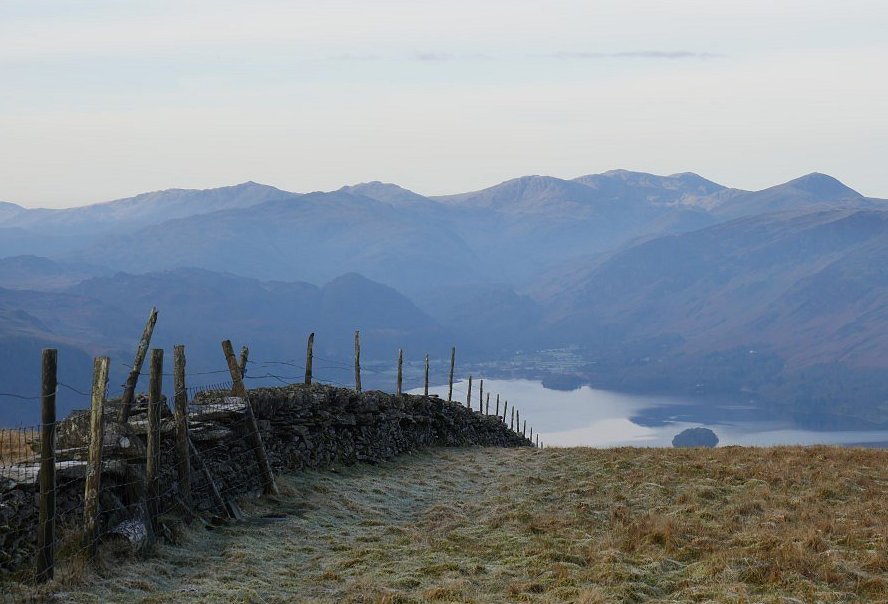
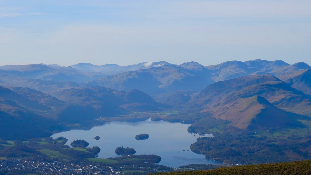
Blencathra as expected was very busy so I quickly snapped a couple of pictures from the summit. Derwentwater is seen below.
And a little slice of Thirlmere can be seen through the St. John's in the Vale gap.
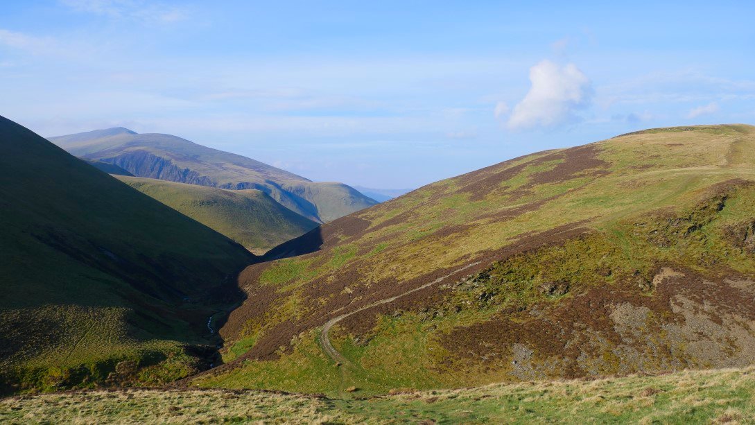
After the excitement of the climb it's down the grassy slopes to the slightly less exciting Mungrisedale Common.
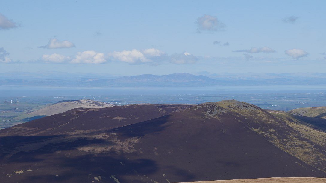
Scotland is very clear over Great Calva.
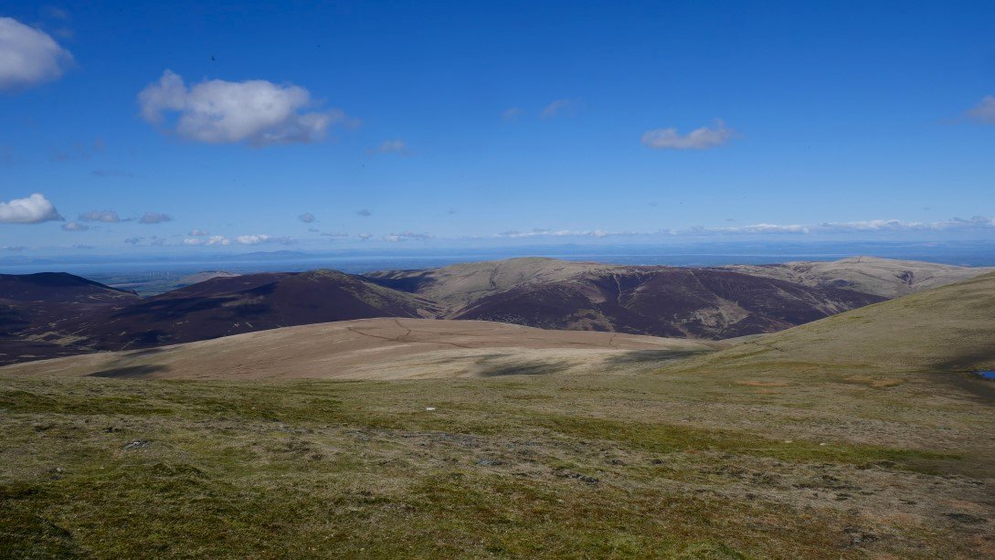
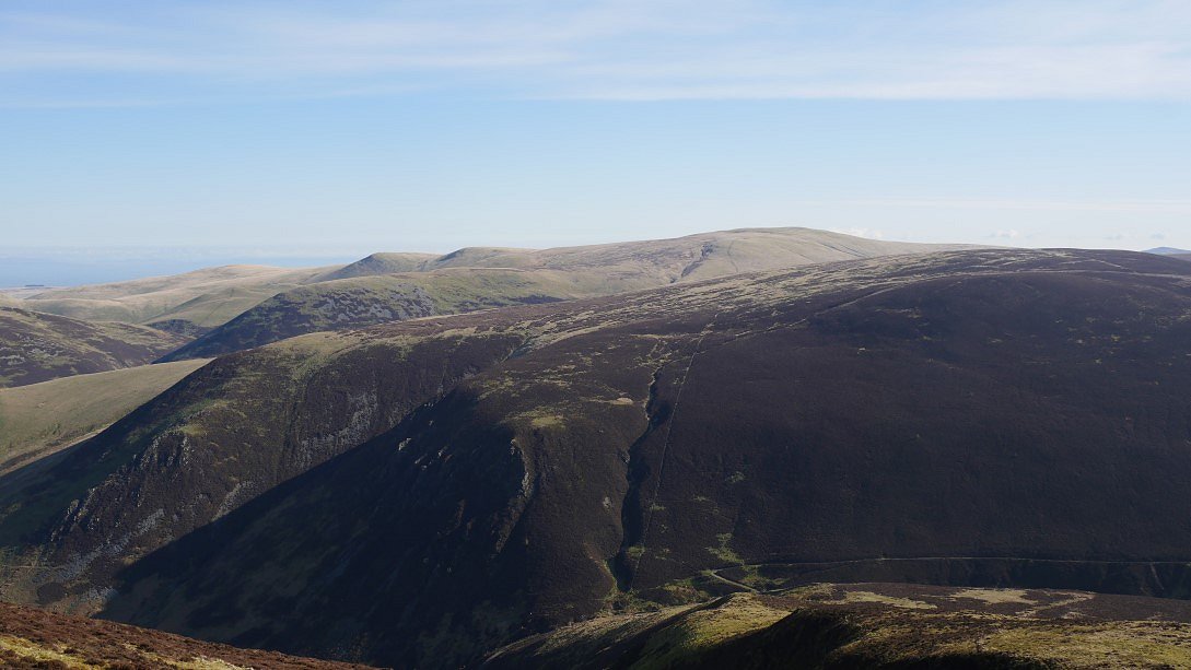
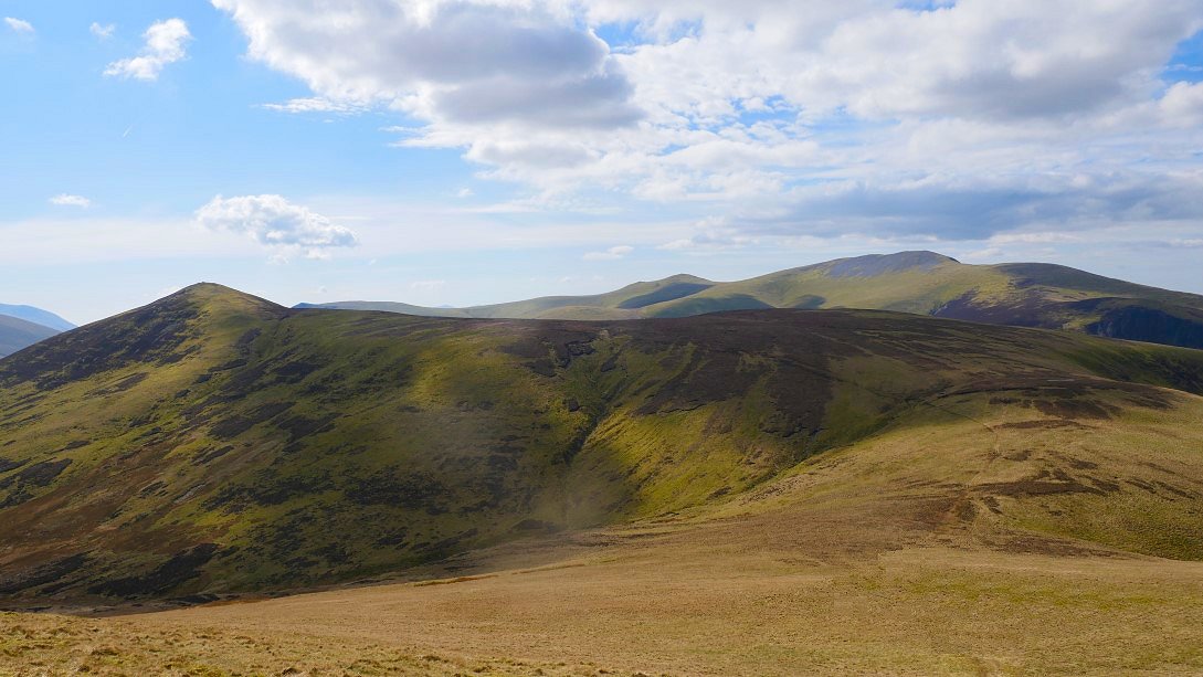
Looking across to my onward route over the long curving ridge of Burnt Horse and up to Lonscale Fell where I planned to camp.
The grassy side of Blencathra from the "summit" of Mungrisedale Common.

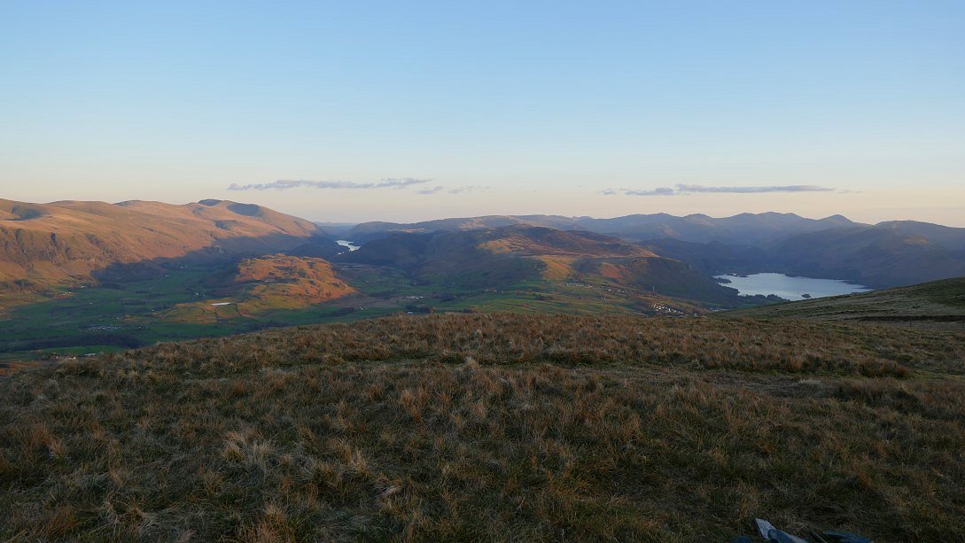
A nice view down to Walla Crag and Derwentwater from the cairn marked on the map.
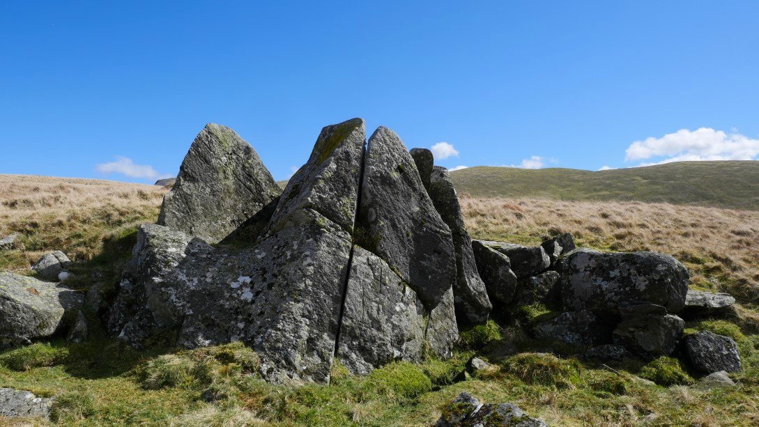
Also marked on the map and passed on the way to the valley is the Cloven Stone.
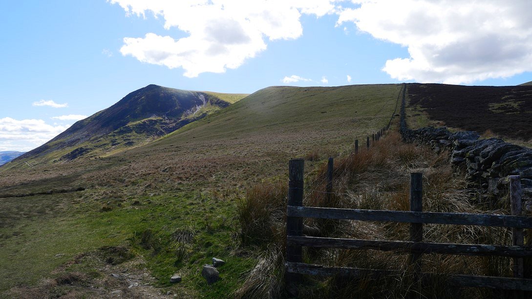
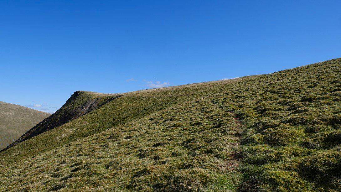
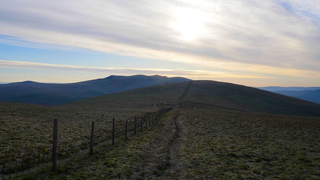
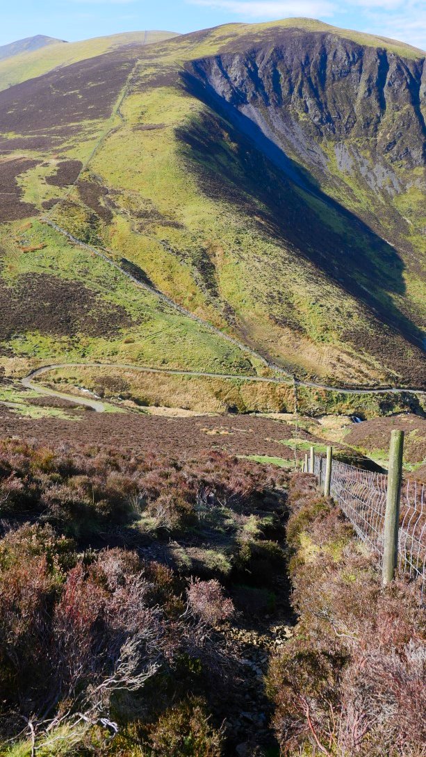
From the valley bottom it's up again on to the Burnt Horse ridge with the east top of Lonscale Fell prominent.
Near the top of the steep haul by the fence a side path branches off taking you across the top of the corrie directly to the east top.
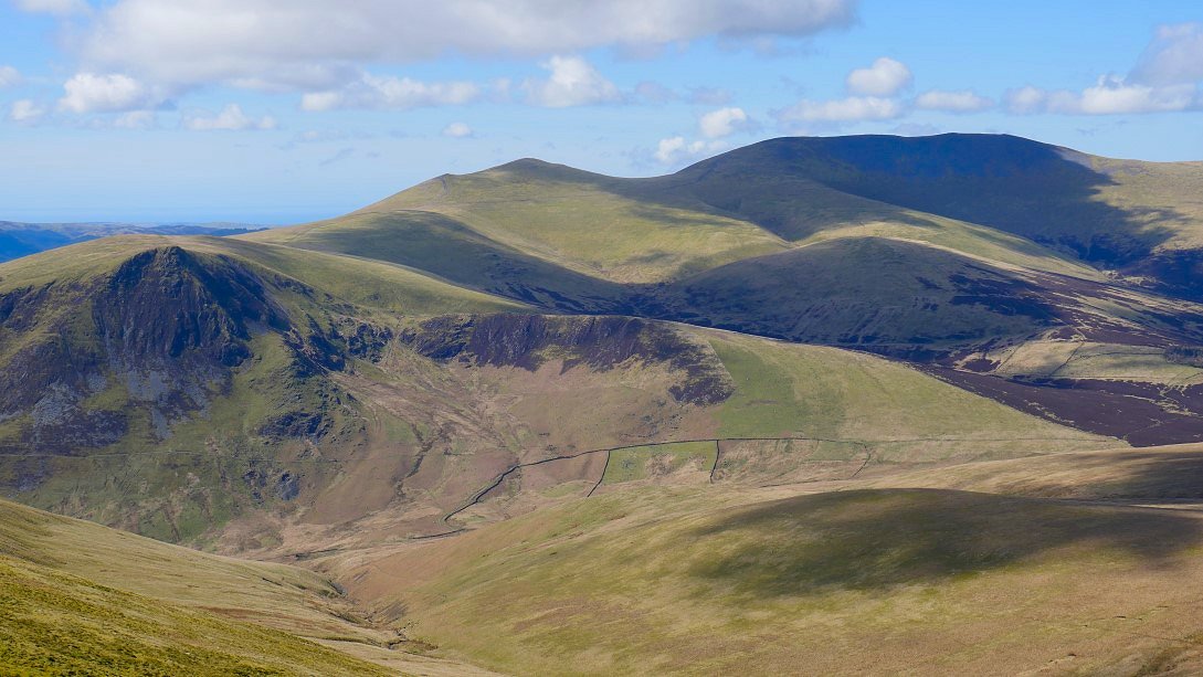
The Burnt Horse ridge from the path.
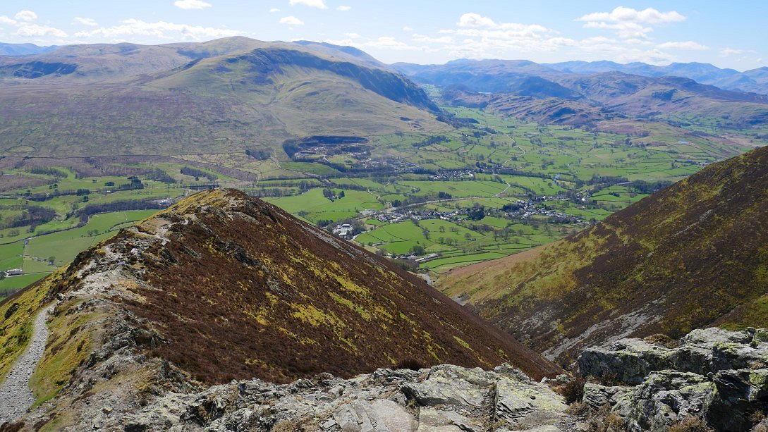
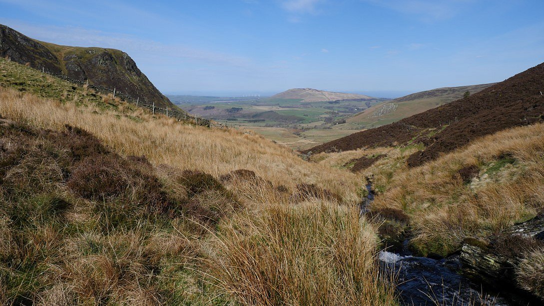
Afternoon shadows are starting to form on the Helvellyn fells. Tewet tarn is the small tarn below High Rigg and more of Thirlmere is visible now.
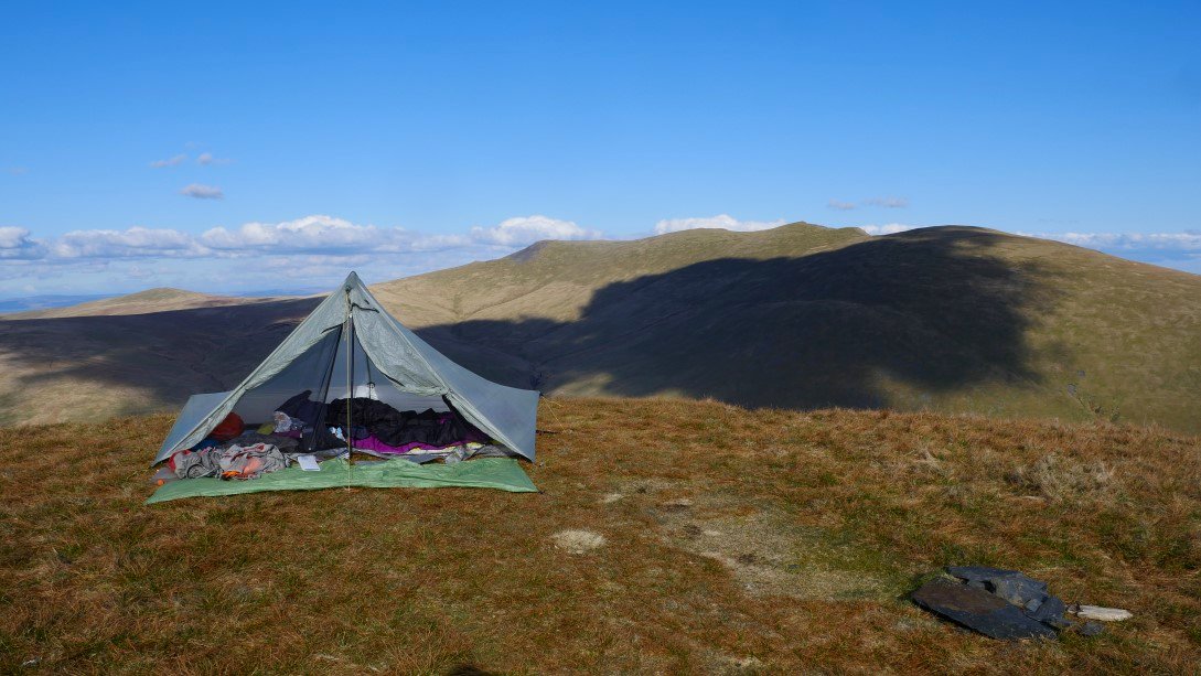
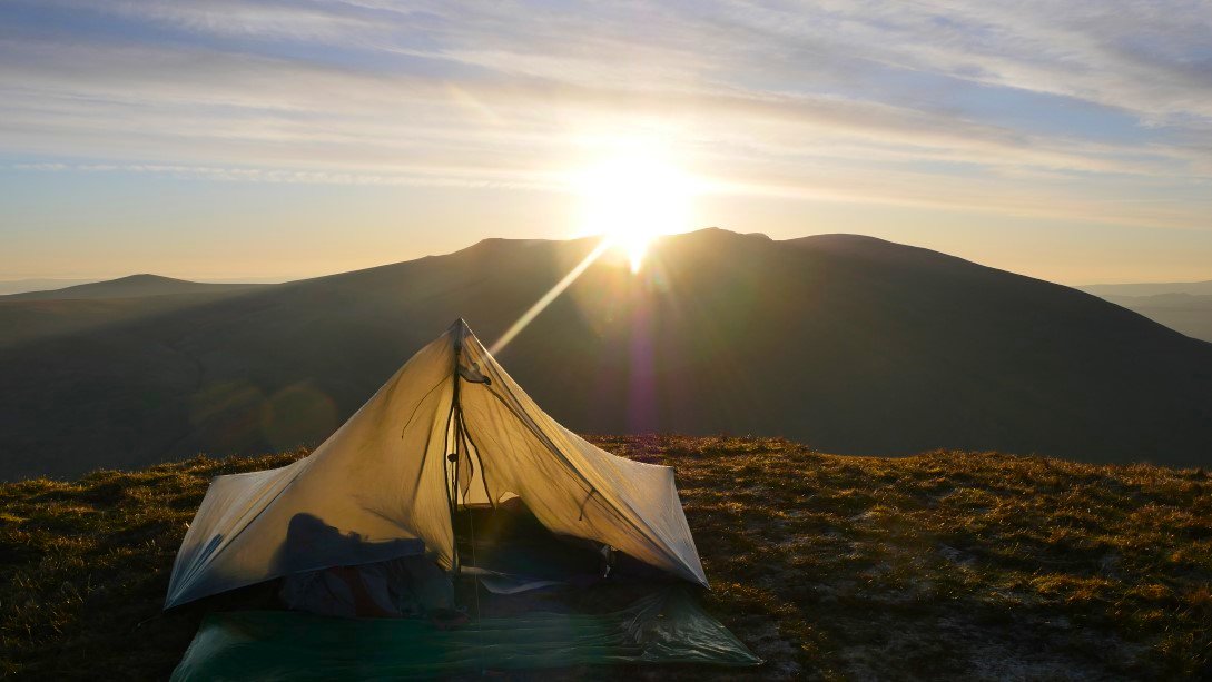
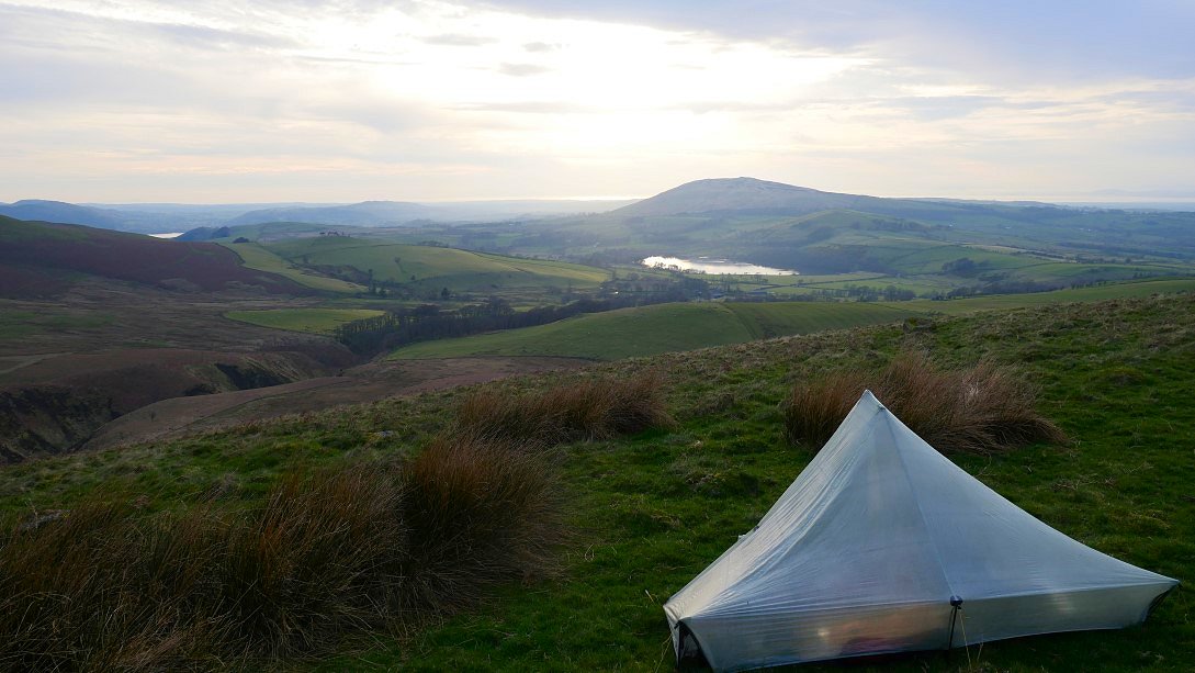
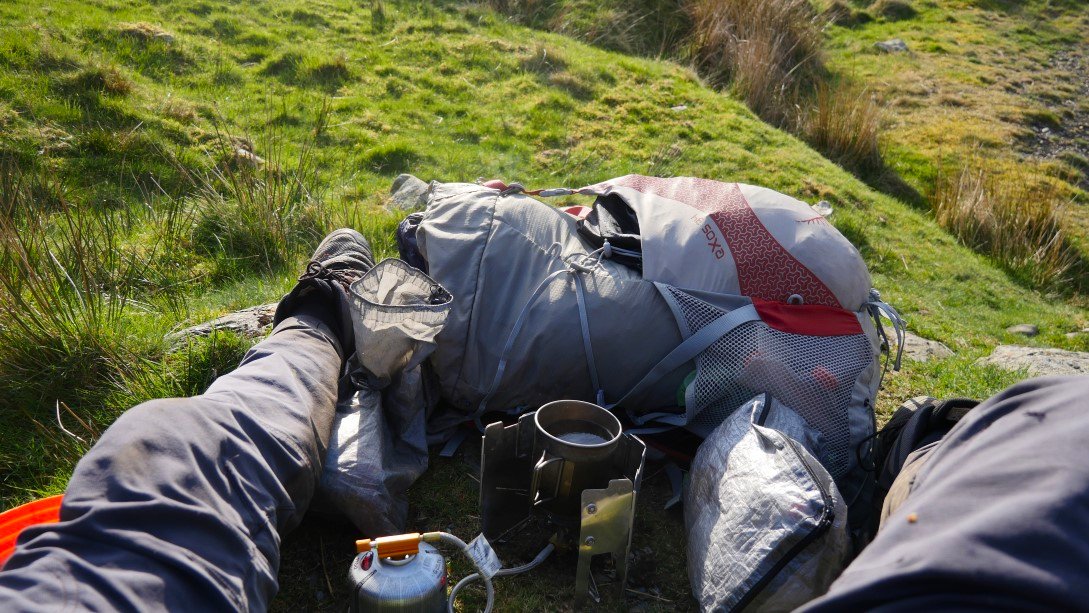
Normally I would camp a bit more discretely than this but it was getting on now and if anyone with the authority to move me on did ask then I'd move. I'm glad I don't sleepwalk as behind the tent is the 1500ft drop down to the Glenderaterra valley..
After pitching I walked up to the main summit of Lonscale Fell.
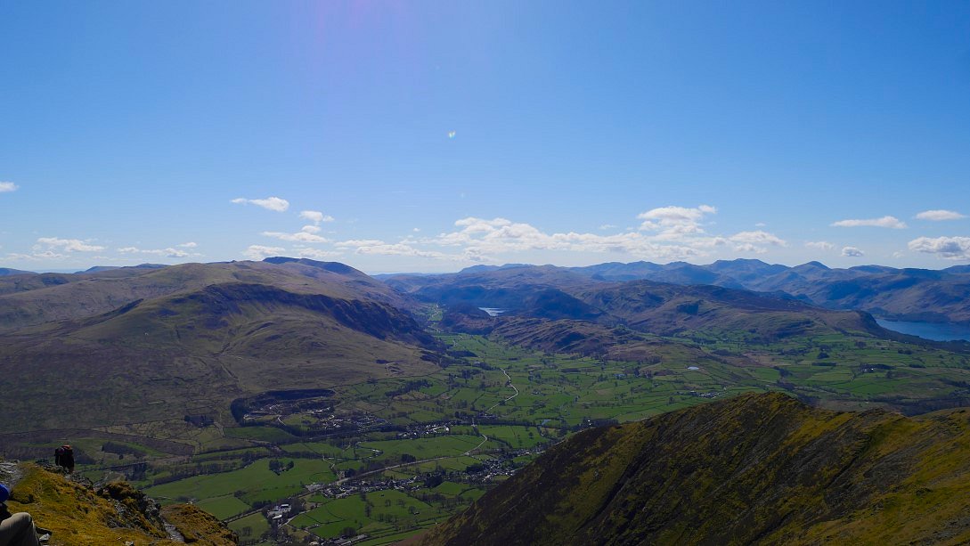
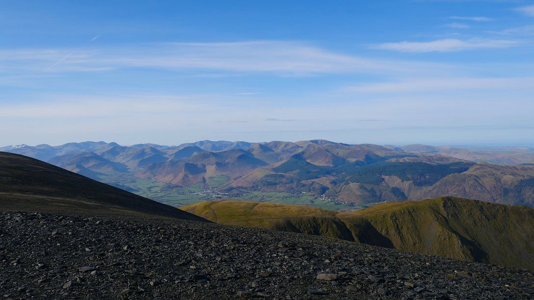
From where there is an extensive view of Keswick, Derwentwater and the fells to the south.
Lovely evening light on the Helvellyn fells.
And a wider view.
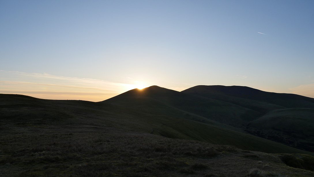
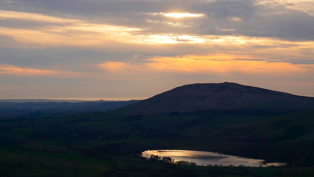
The sun drops behind Skiddaw Little Man.
And rises above Blencathra. Nice and fresh this morning with a mild frost on the grass.
The lovely light is now on the Skiddaw group.
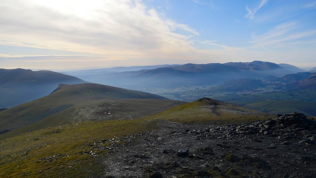
Great view from Jenkin Hill of the high fells, Bowfell on the left then Esk Pike, Great End, Scafell Pike then ( I think ) Symonds Knott on Scafell and Great Gable
A hazy morning cloud has covered the sun for now. This is looking back to Lonscale Fell and Blencathra.
On to Skiddaw Little man and a very thin inversion has formed over the valley to the south.
Another look back from the climb to Skiddaw. A swirl of cloud is forming just below Bowfell.
I love this view of the incredible jumble of fells from the top of Skiddaw.
On my down towards Bakestall and looking to the Back 'o' Skidda" fells that I would reach later.
My journey so far this morning from the sharp point of the east top of Lonscale on the left coming over Little Man and Skiddaw itself.
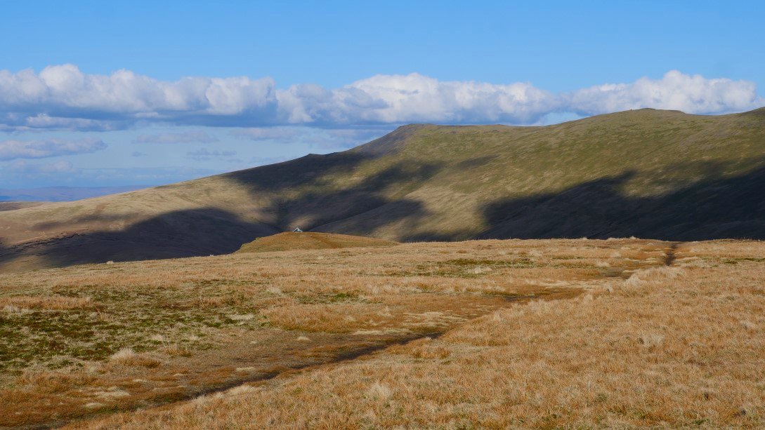
It's quite a long descent to the valley and I'm trying to ignore the steep climb up by Dry Gill and the fence that I'll have after that. ( And the climb to the grassy top of Knott after that )
Down to the valley at last and I had a late breakfast sat by Dash Beck looking to Binsey.
After breakfast it's on with the climb. The long descent down from Skiddaw over Bakestall can be seen from the pull up by the fence.
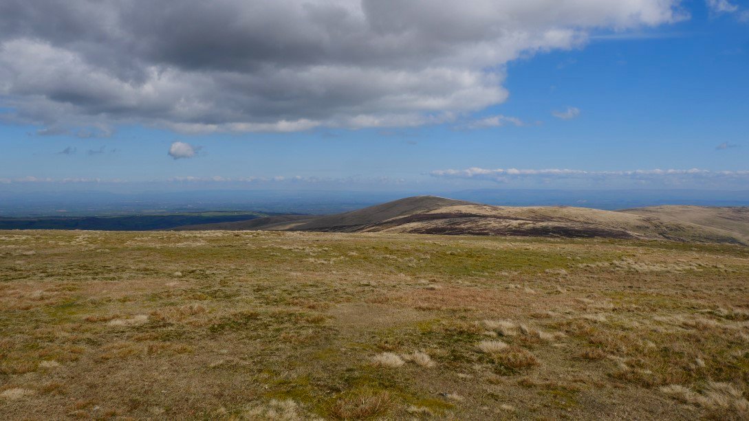
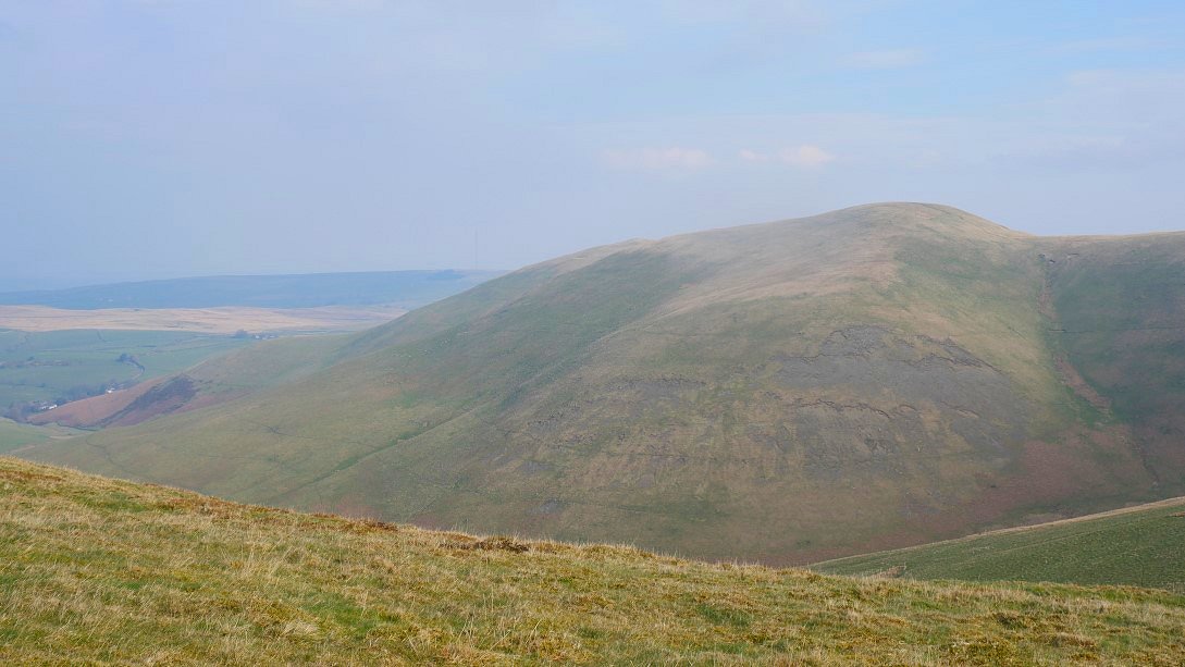
Great Calva not on my itinerary for today.
It's down again across the top of Wiley Gill followed by the steep pull up to Knott. Great Calva is seen now from the other side . My starting point for today can just be seen to the right of the top of Great Calva.
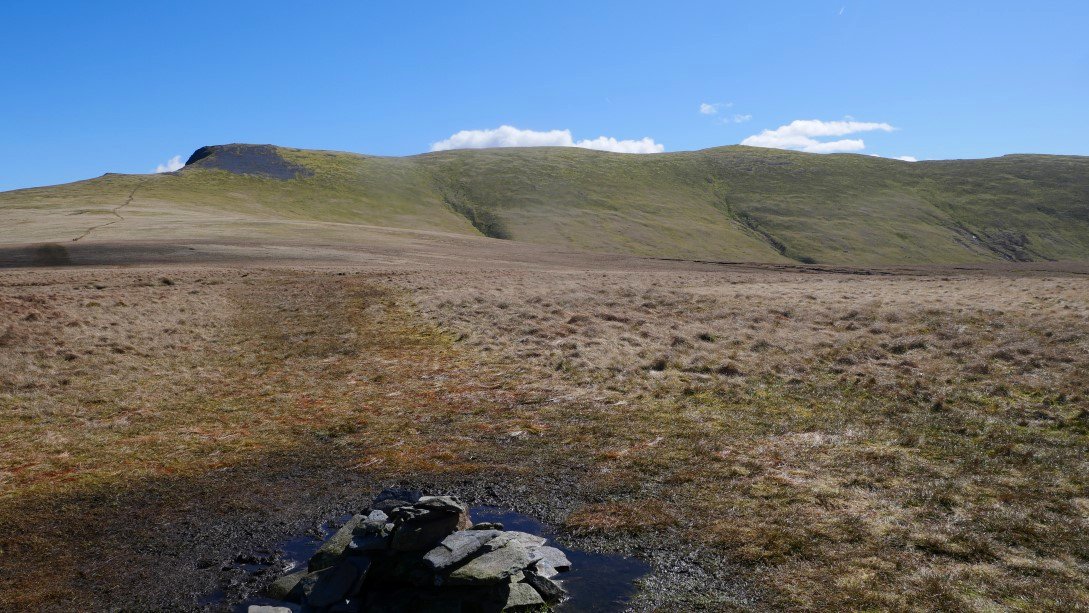
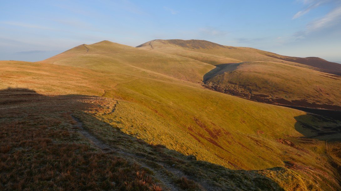
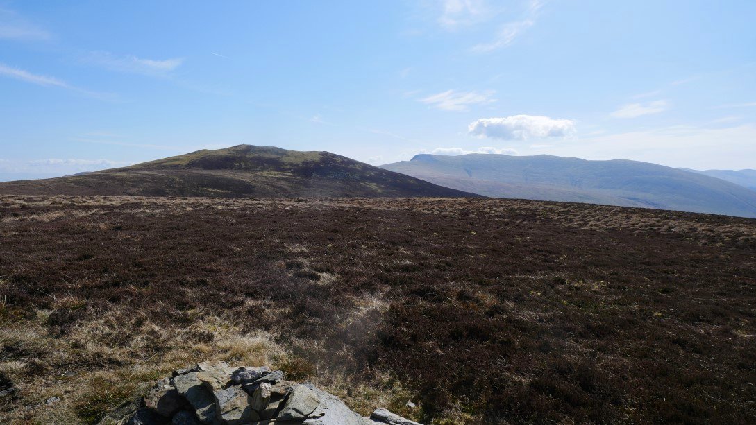
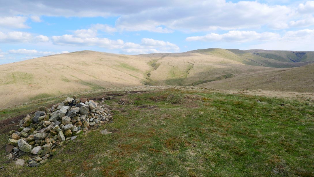
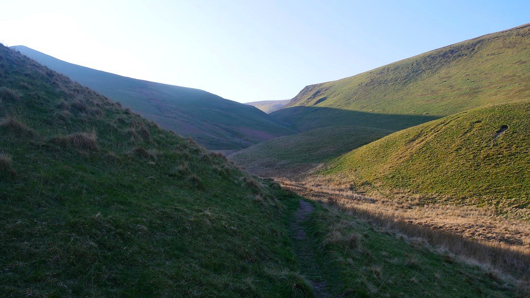
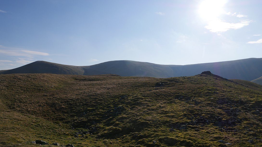
Once I'd reached Knott that was really the last of the hard work for today, although there are a few little climbs the walking over these grassy hills is quite easy. Brae Fell is the top in the distance where I'm headed but I cross over Great and Little Sca Fell on the way.
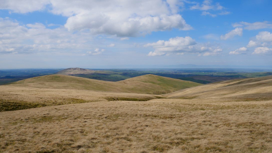
Once I'd visited Brae Fell I contoured around the top of Charleton Gill making for Longlands Fell which is the furthest of the two tops seen here.
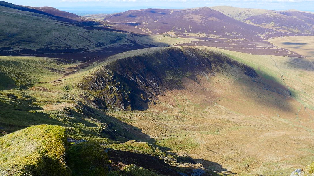
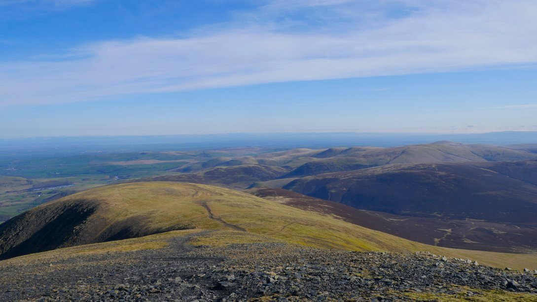
View back From Longlands giving an idea of the wide open spaces around the back 'o' Skidda".
From Longlands I contoured around the slopes of Lowthwaite Fell till I came to a nice patch of level ground on which to camp. Frozen Fell and Burn Tod is the high ground ahead and my route tomorrow heads towards them following the pass of Trusmadoor.
I was facing Binsey and Overwater and hopefully the sunset.
And it wasn't a bad one.
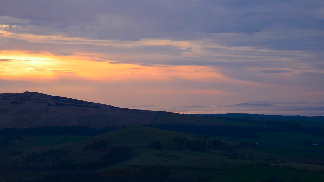
Lovely glow over the hills in Scotland.
The last of the light.
This was supposed to be the last day of fine weather and although hazy it was a lovely warm morning.
On my way up the very Scottish sounding pass of Trusmadoor.
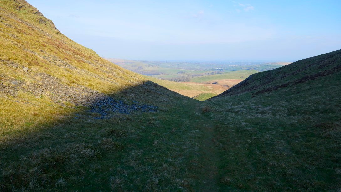
And the view back from the top.
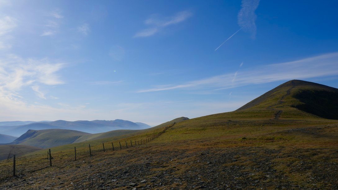
From the top of the pass there is a clear path up to Meal Fell. This is looking back to my final climb of the day, Great Cockup. I left my rucksack at the bottom and it's amazing the difference it make and I was up and own in no more than 15 minutes.
On the top of Meal Fell and suddenly for the first time this week-end it's blowing a gale.
I found a sheltered spot though to have my breakfast.
It was blowing a hoolie right into my face so the climb to Great Cockup was harder than it should have been. I'm looking across to the slopes where I camped although from here you wouldn't think there was a flat spot anywhere.
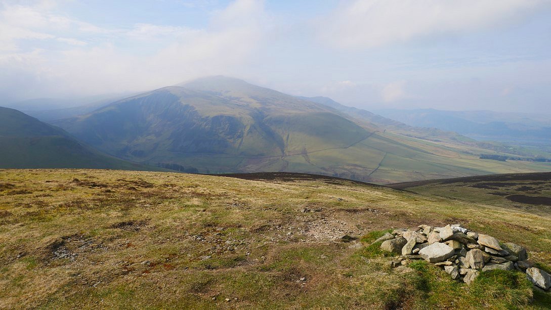
The weather does seem to be getting worse over the high fells. Skiddaw is now mostly covered.
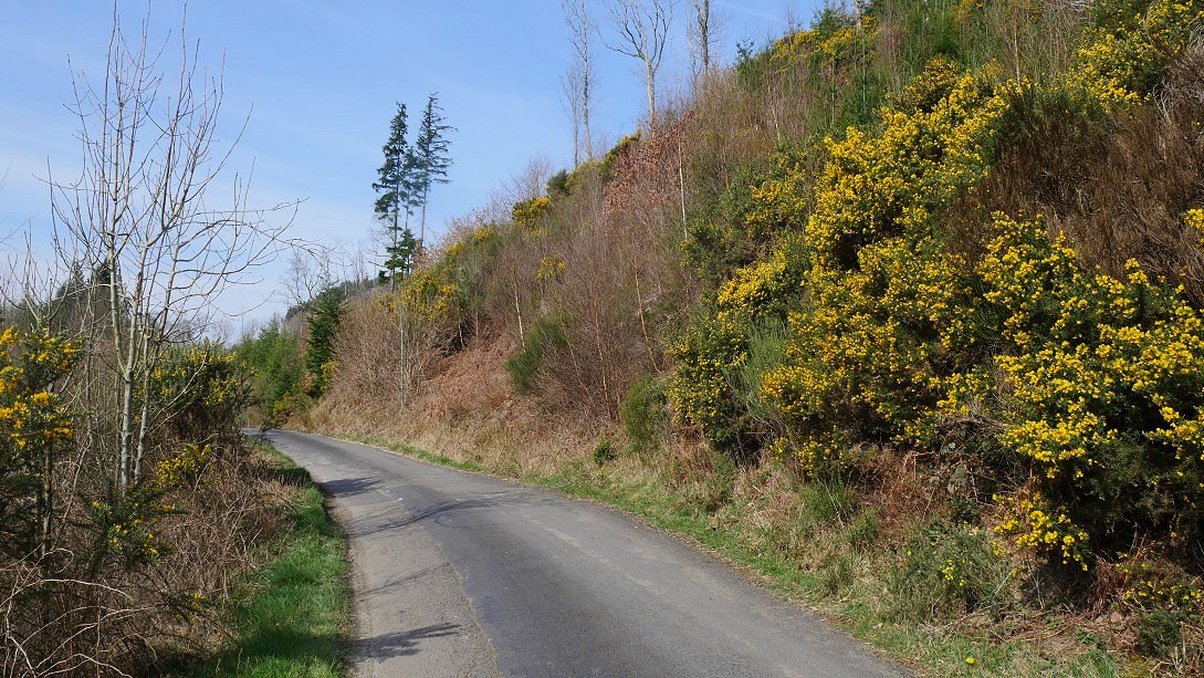
The weather at valley level was very nice though and although I had a couple of miles to walk on the road to Bassenthwaite it was a quiet road and there was some lovely gorse to admire and as a bonus I arrived just as the pub was opening so I could re-hydrate with a couple of pints before I made my way to the bus stop to start the journey home.
Previous walk - A Greenburn round - Next walk - Pike o' Blisco and Cold Pike