WWW.KARLSWALKS.CO.UK
PICTURES AND TRIP REPORTS FROM MY WALKS IN THE ENGLISH LAKE DISTRICT
|
|
|
|
||||
|
|
|
|
|
|
|
|
E-mail - karl@karlswalks.co.uk |
The YHA are slowly reopening dorm rooms after the Covid shutdown so Sue and I booked a stay at the lovely Ennerdale youth hostel.
I've also included a few photos from a misty walk around the Troutbeck valley from the week before that I hadn't had time to post
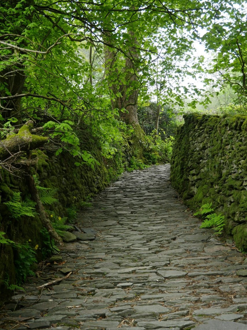
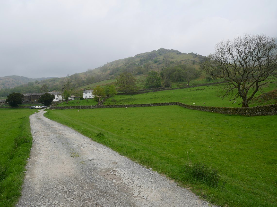
It was one of those muggy warm days which promise rain when we parked up at Church Bridge and walked back up the road to the track past The Howe.
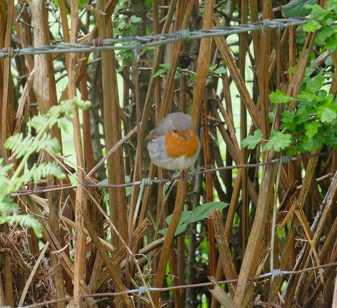
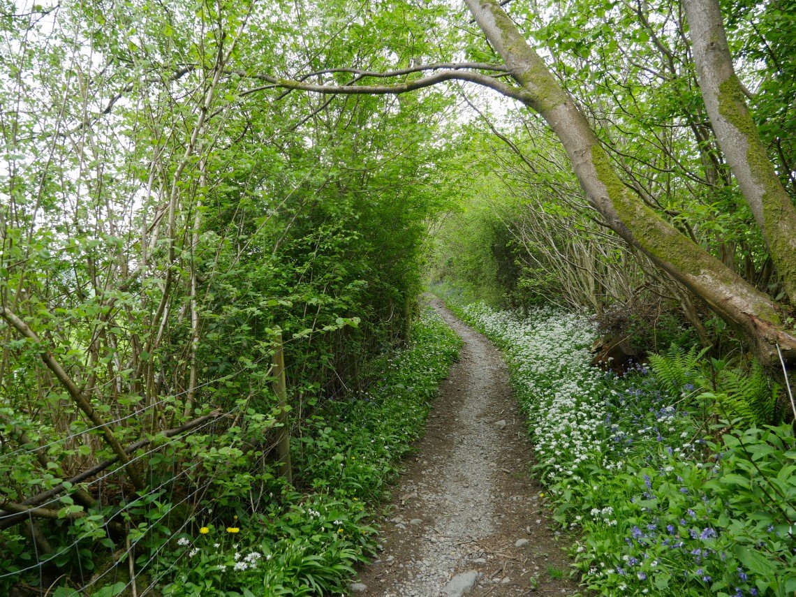
Robin in a hedge by the path
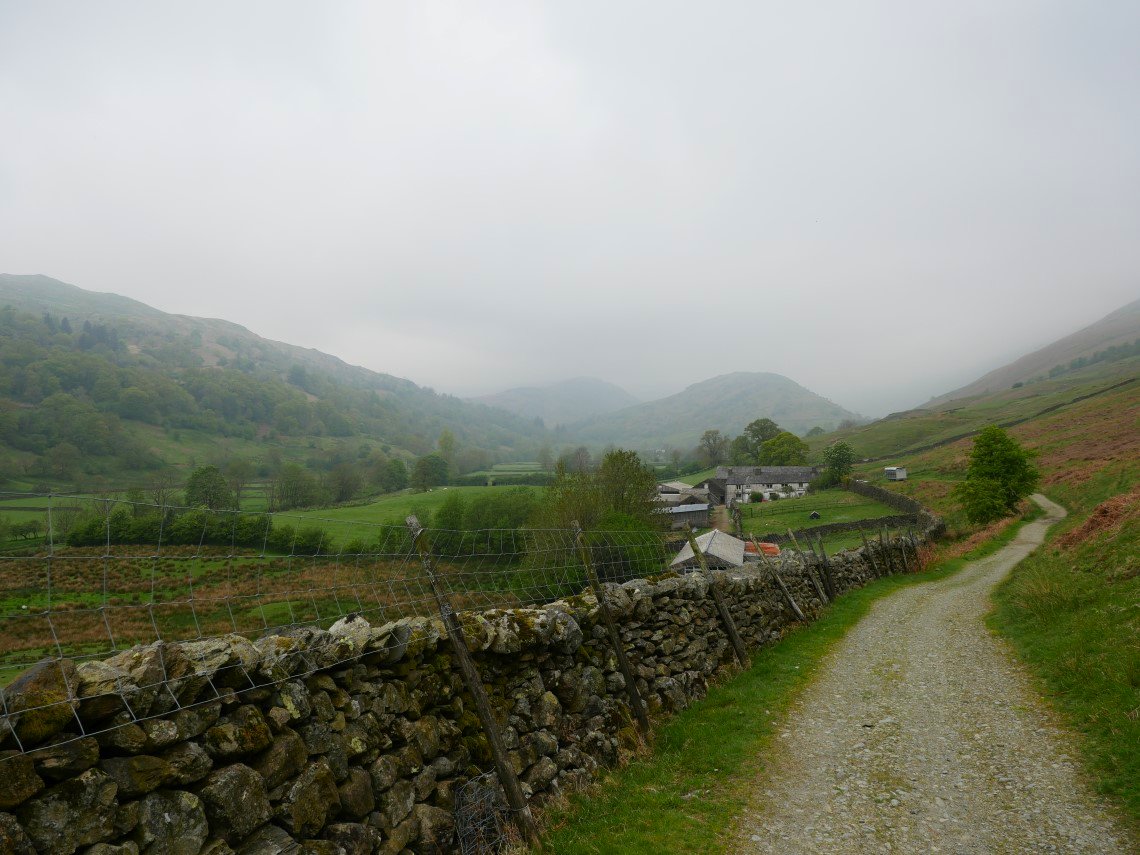
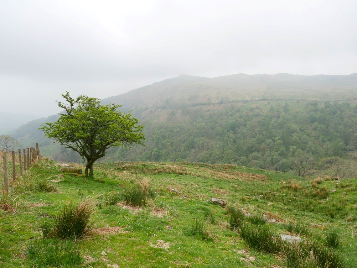
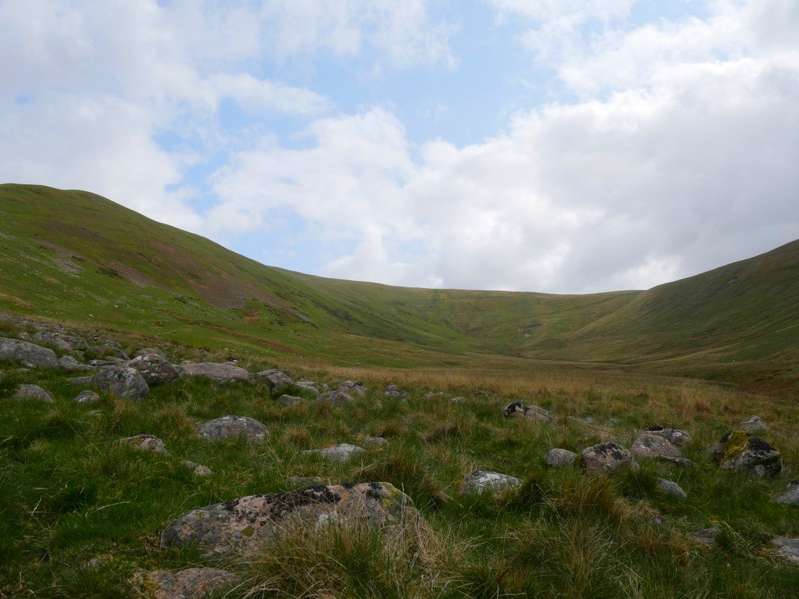
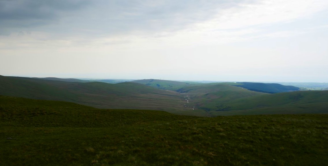
After missing the turn off to the lower valley path due to too much chatting and not enough paying attention to where we were going we doubled back and after a mile or so we have a very misty view of Troutbeck Tongue.
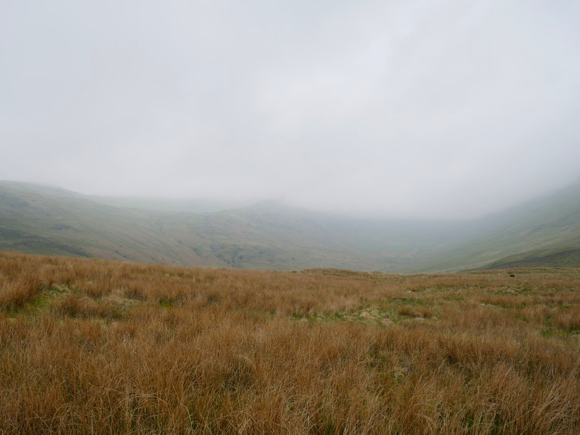
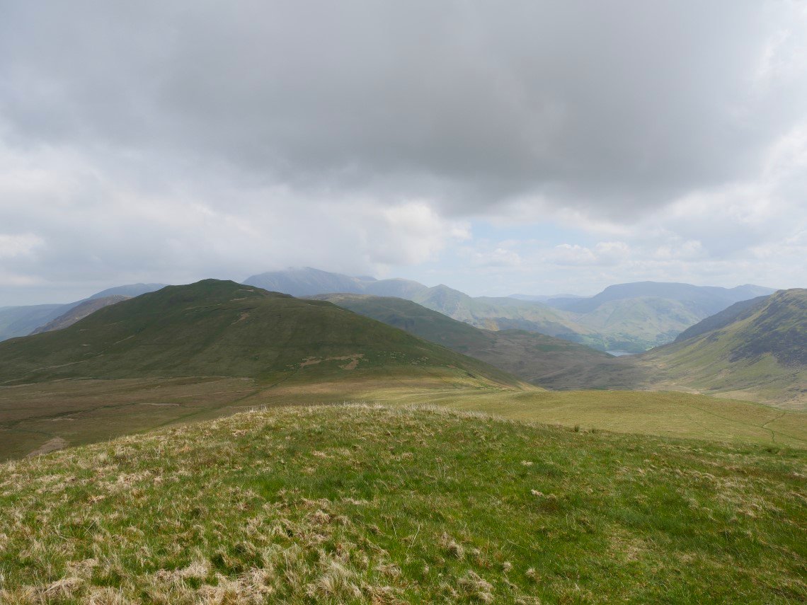
The track continues under and along the long flank of the Tongue We turned left and followed a short steep path to get to the ridge line This is looking into the murk to the head of the valley and Threshthwaite Mouth.
It's an easy climb to the top of the Tongue from where there were no views. We descended down the western side and had our lunch listening to and getting a brief glimpse of a cuckoo in the tree. The hills opposite are the lower tops around Baystones and Wansfell on the other side of the Kirkstone Pass road.
Looking back to Troutbeck Tongue behind Troutbeck Park farm.
.
It's a pleasant path along the valley bottom and after following it you come to the Kirkstone Pass road. ( There is a permissive path in the fields by the road so you can walk back down to the church without getting run over ).
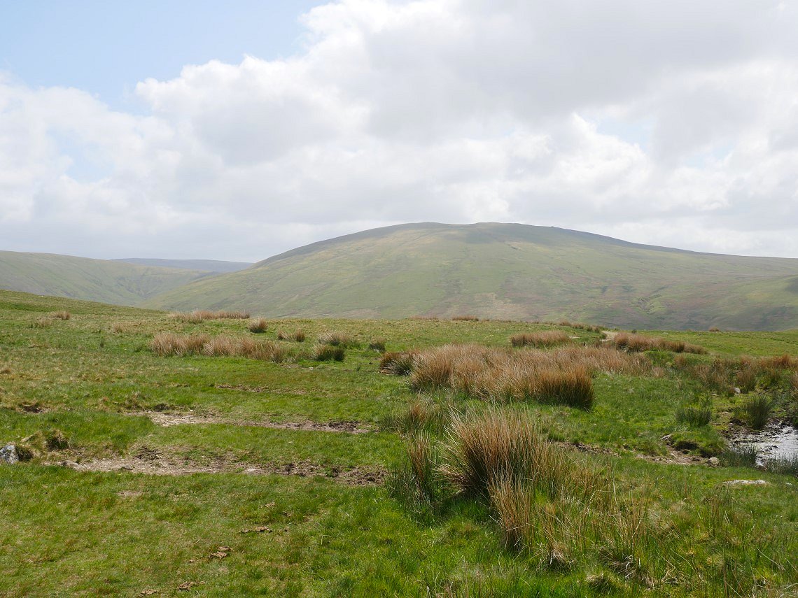
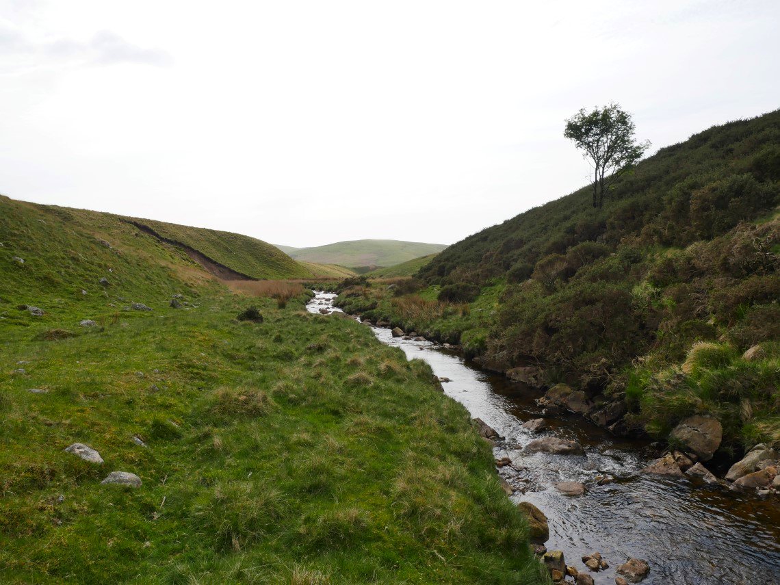
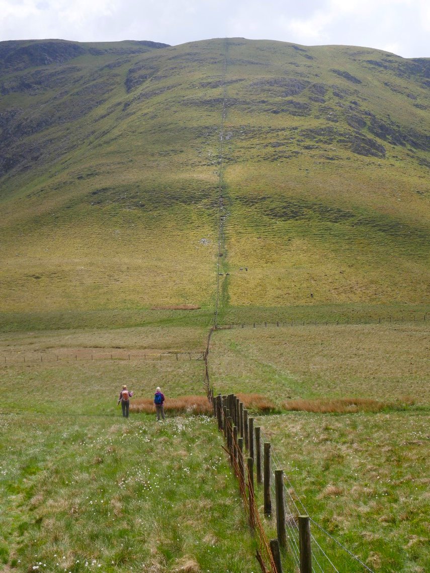
The following Friday we made the long journey up the west coast of Cumbria and parked up at the end of the track leading into the Whoap Beck valley to climb Lank Rigg which is in sight all the way.
Into the valley now and the path to the col between Whoap and Lank Rigg can be plainly seen on the hillside ahead.
From the col the view is across to Caw fell with the whale back shape of Seatallen to the right and a misty Haycock in the left background.
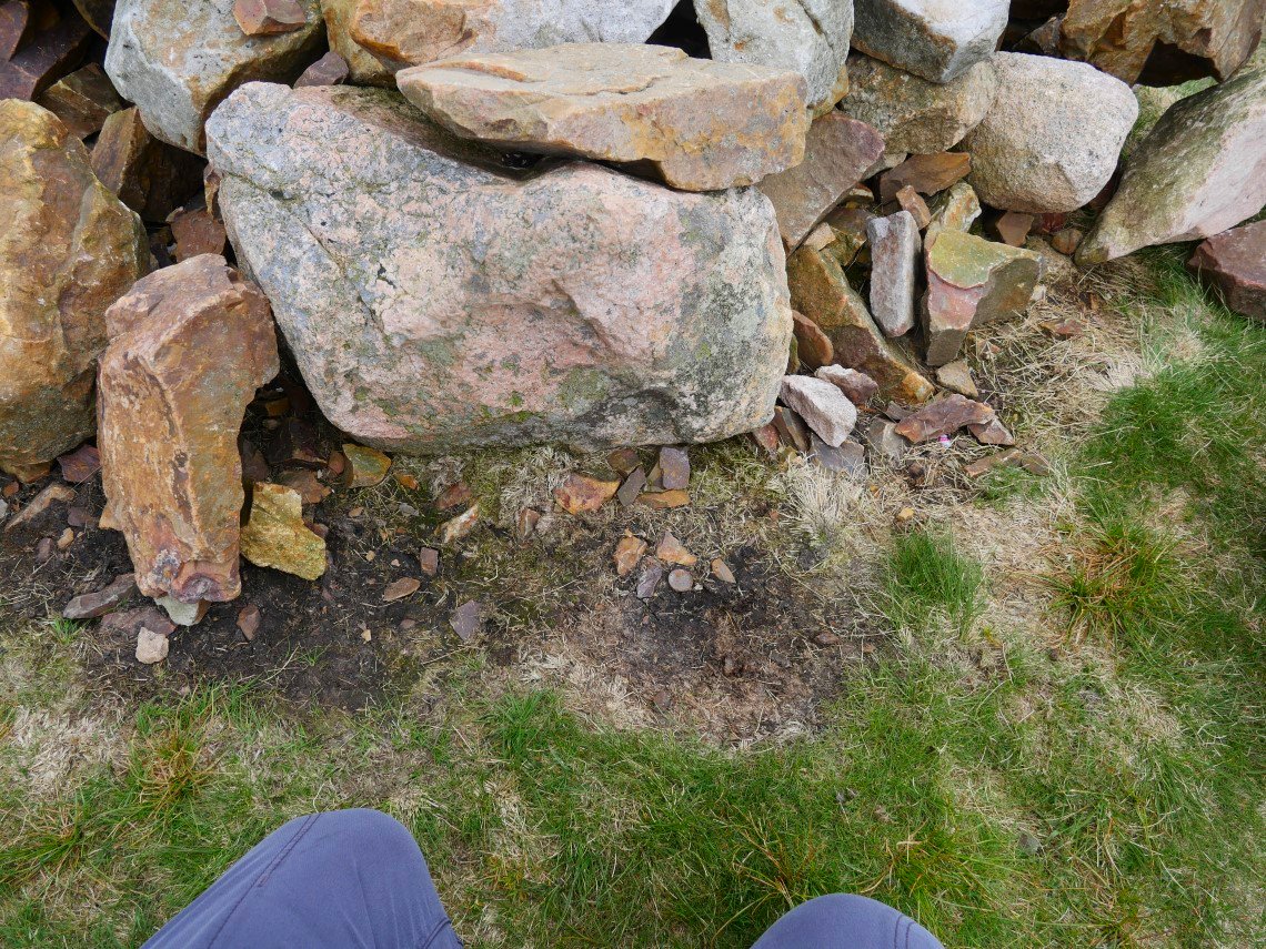
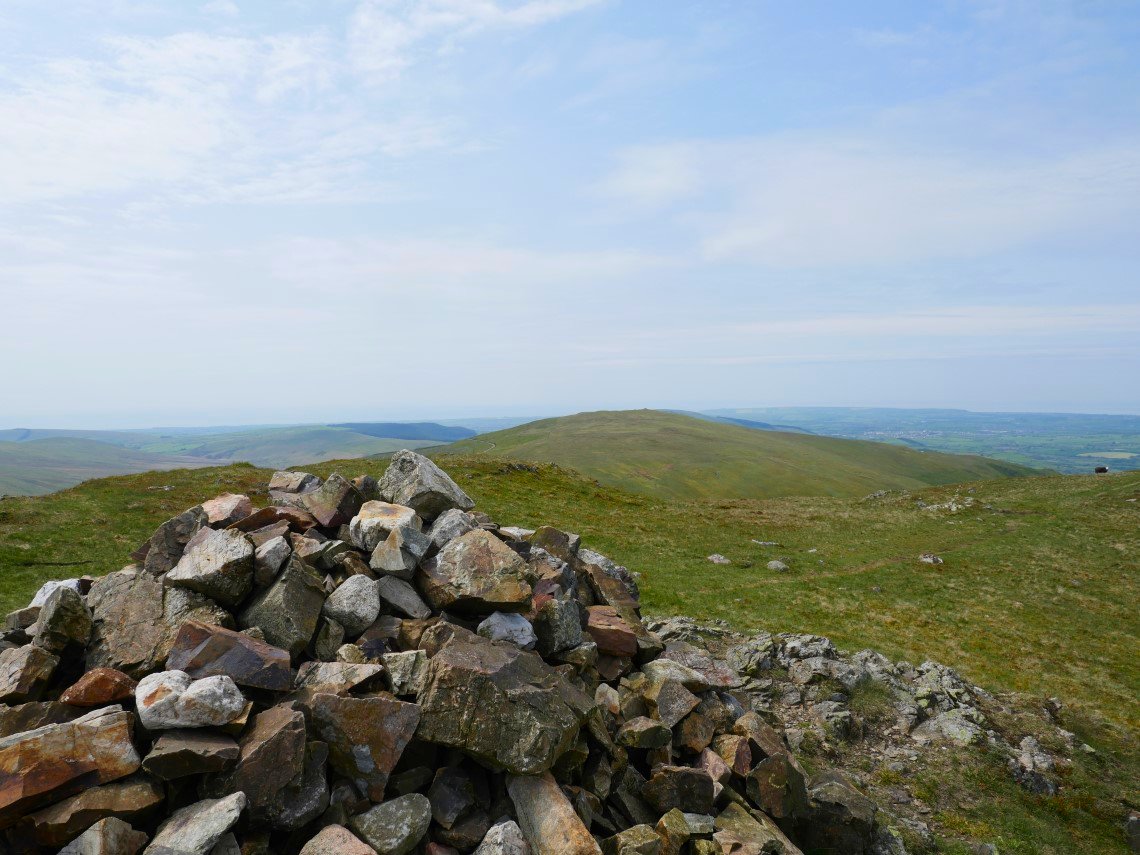
On reaching Lank Rigg we were really disappointed to see that someone has moved the stone and taken the money ( apart from a rusty penny ) hidden beneath. Why would you do this ?
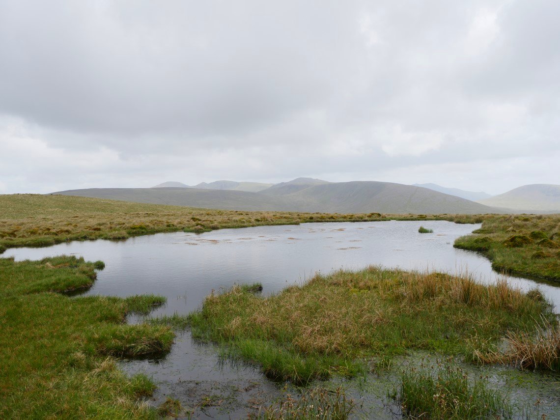
A misty view to Pillar from the small tarn adjacent to the lower cairn on Lank Rigg. The weather for our stay was nearly identical every day with warm ( but not too warm ) hazy sunshine, almost no wind and it never threatened rain. The haze made photo's taken look a bit dull but apart from that we couldn't have wished for better weather.
We varied our return by coming down the pathless north western flank of Lank Rigg which brought us out near the ford across the infant river Calder.
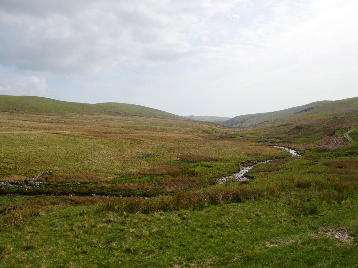
The Calder makes it's way southwards to the coast.
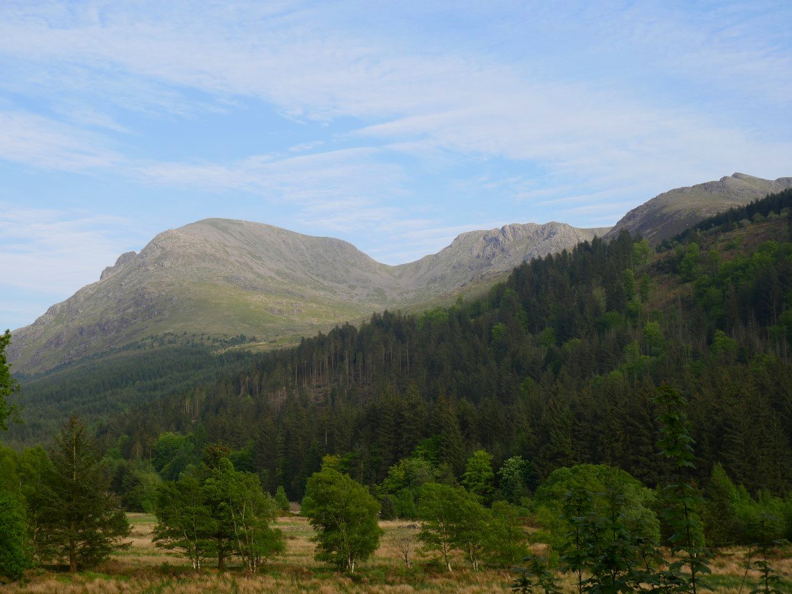
After checking in at the hostel. I took a photo of the great view from the garden. Pillar, with Pillar rock peeping over is ahead then Black Crag and Steeple.
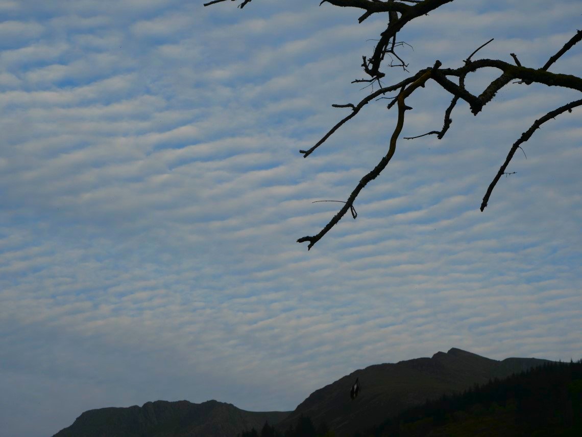
Later there was a nice evening sky.
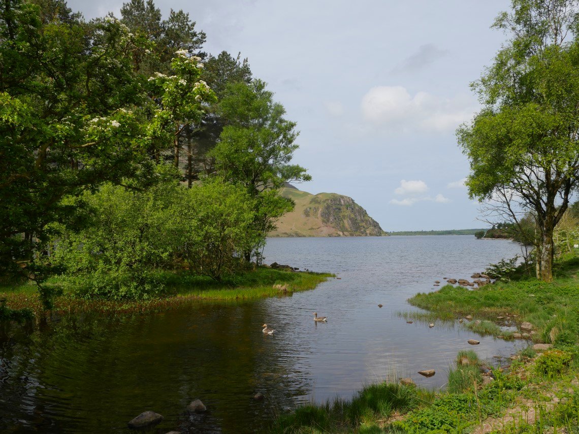
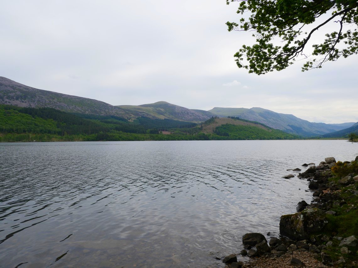
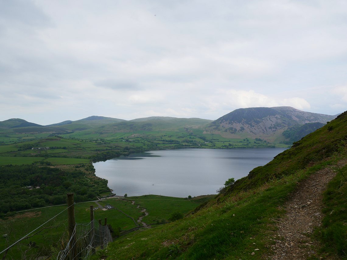
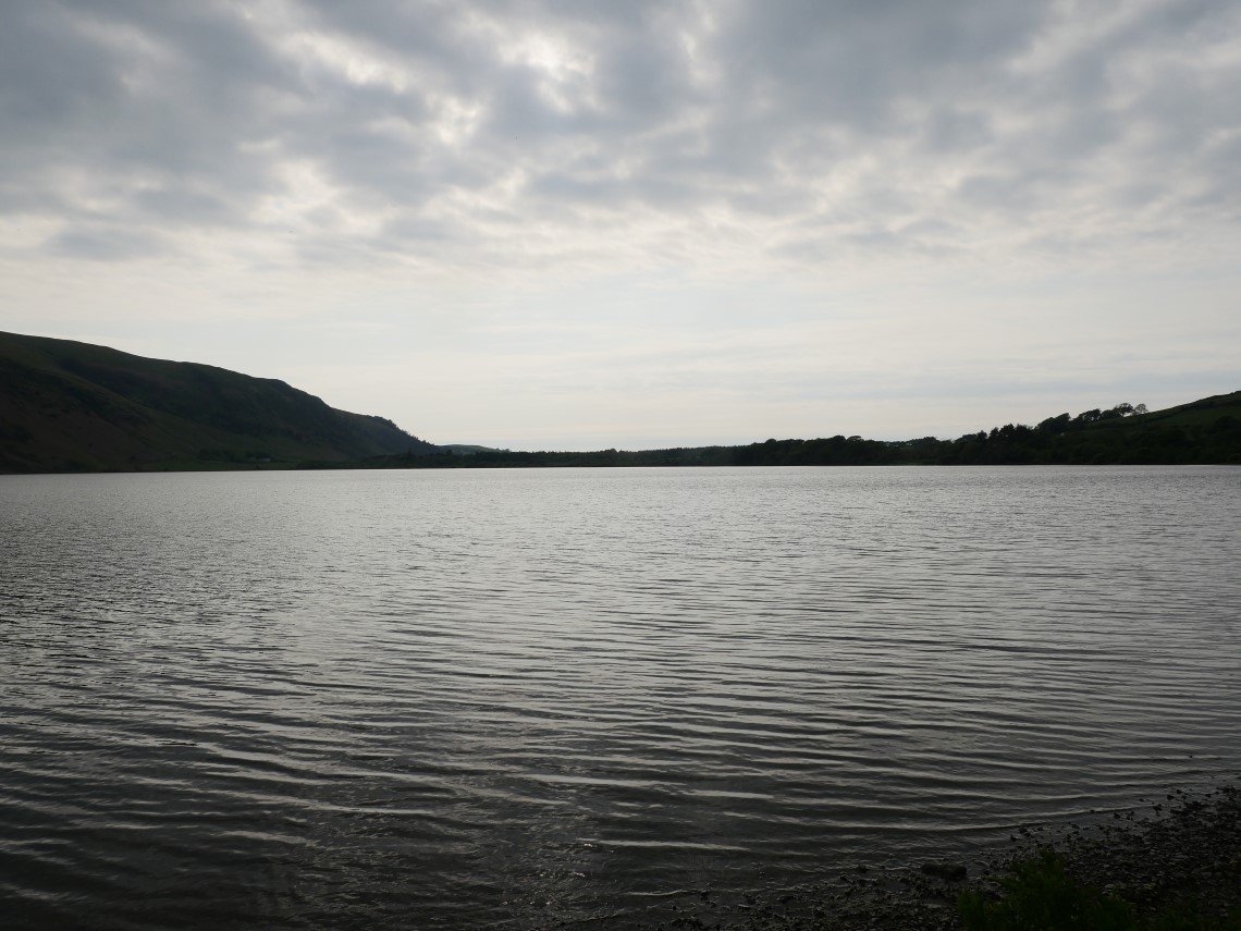
The following morning we set out to climb Great Borne and Starling Dodd. Anglers' Crag is seen across Ennerdale Water.
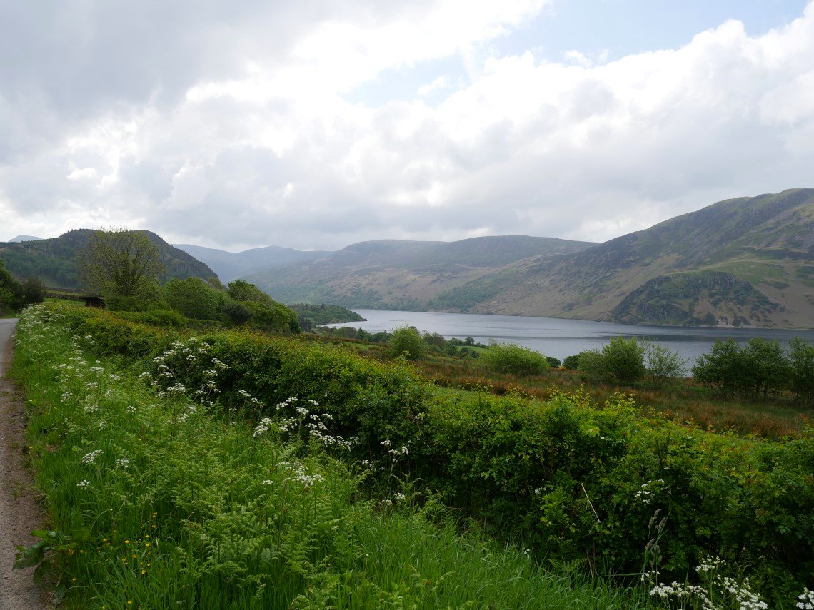
We had arranged to meet Helen at Bowness Knott car park and we got our timing right as she arrived virtually as we did and after parking her car she joined us on the plod along the road to the start of the track to Buttermere. This is looking back from to Ennerdale water from the road.
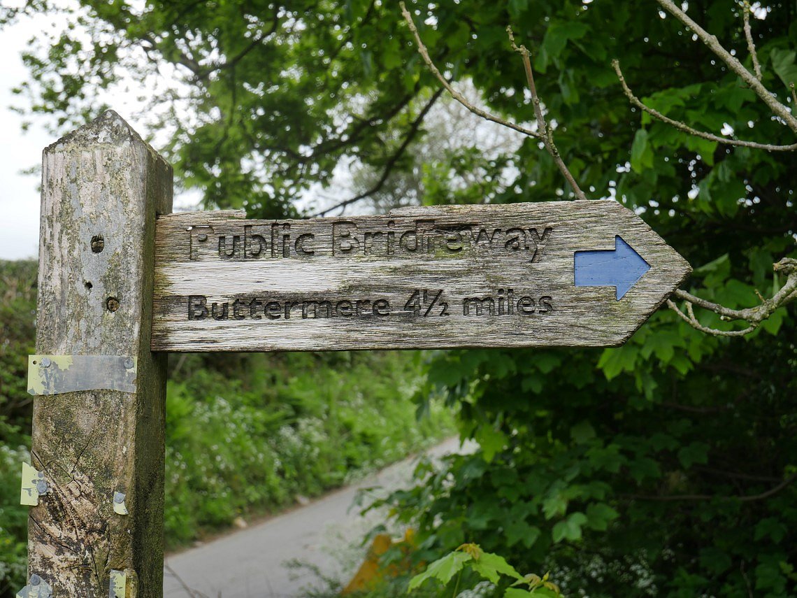
The weather beaten sign at the start off the path.
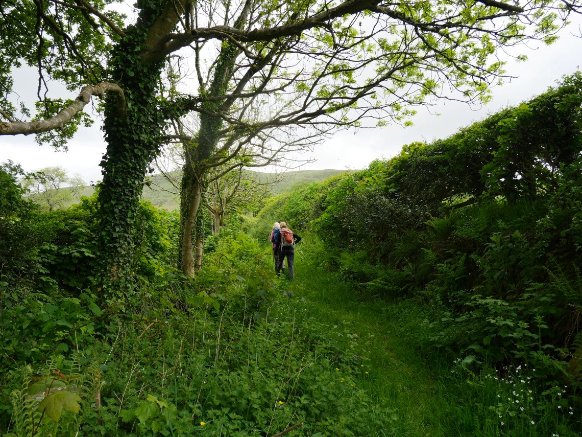
As it's a main route between two major Lakeland valley's we were surprised at how overgrown and little used the path looked..
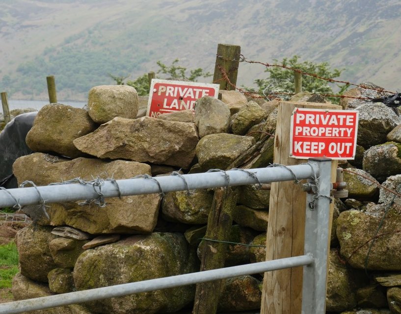
Two signs and barbed wire, I don't think our route goes through this gate.
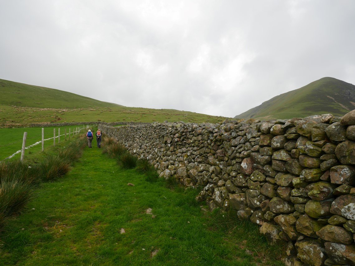
There has been a history of access problems on this track but it seems to be all sorted now and the path is easy to follow as it climbs towards the pass. Herdus is the big fell on the right.
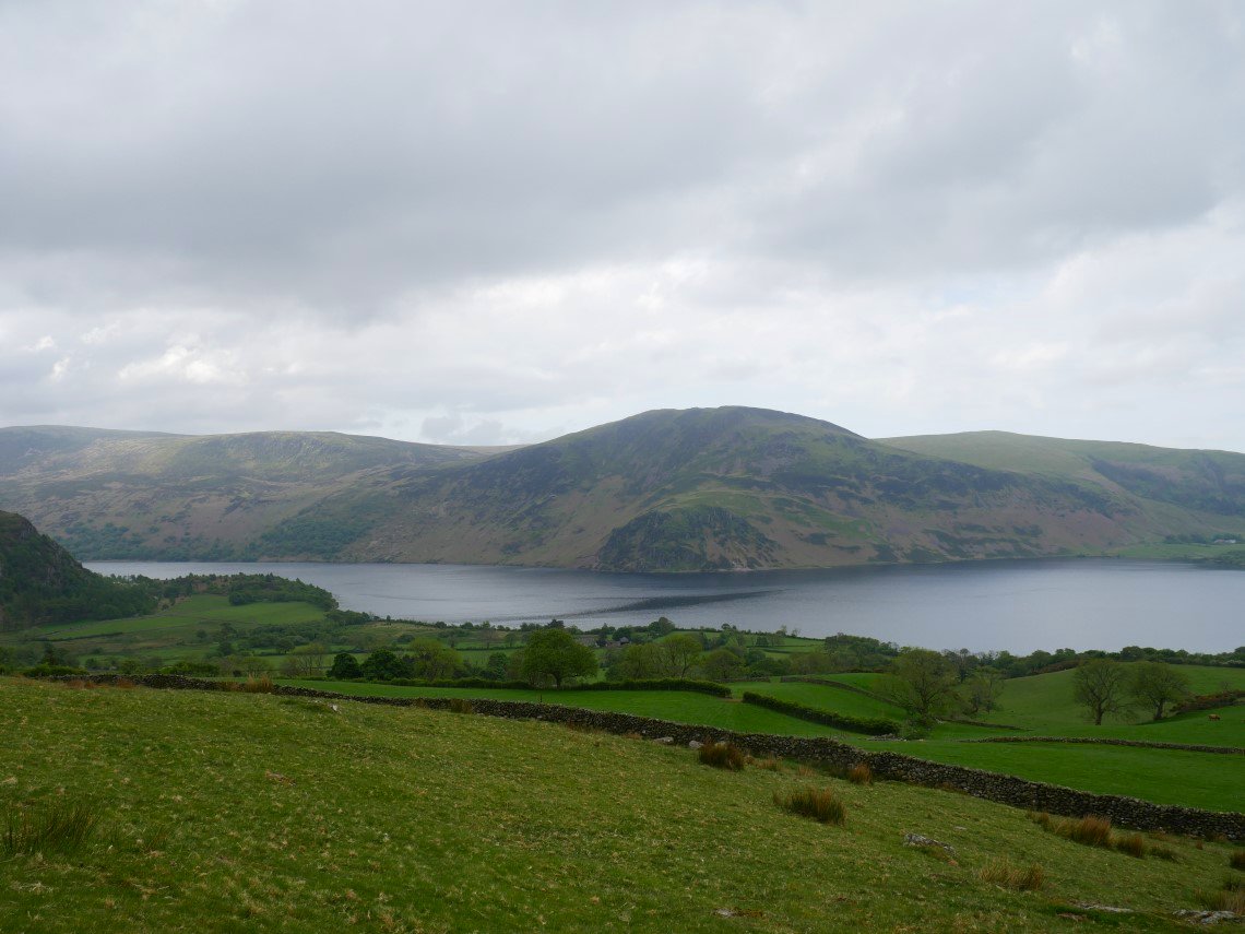
Anglers' Crag with Crag fell above across Ennerdale Water.
Just as we top the pass Helen tells us that she has never climbed Floutern Cop so we decide we'll have an early lunch on the top.
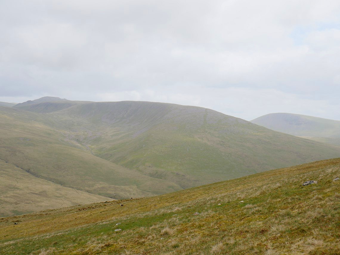
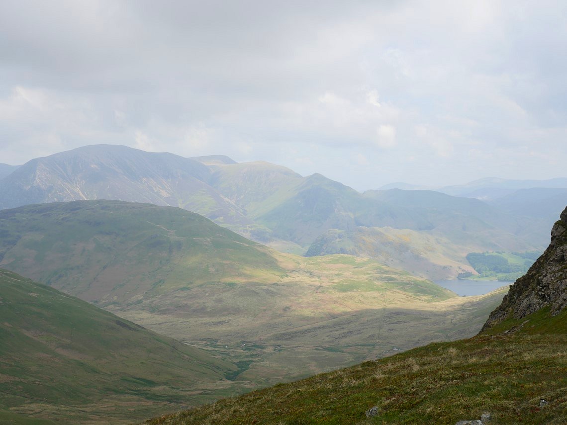
Lovely views from this little hill. Hen Comb with a bit of Mellbreak in the foreground with the Grasmoor group beyond them and to the right the Newlands pass and then Robinson and Dale head.
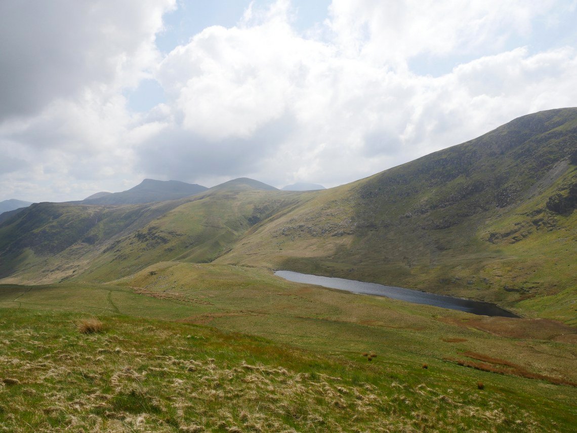
And a great view of Floutern Tarn with Starling Dodd and Red Pike above.
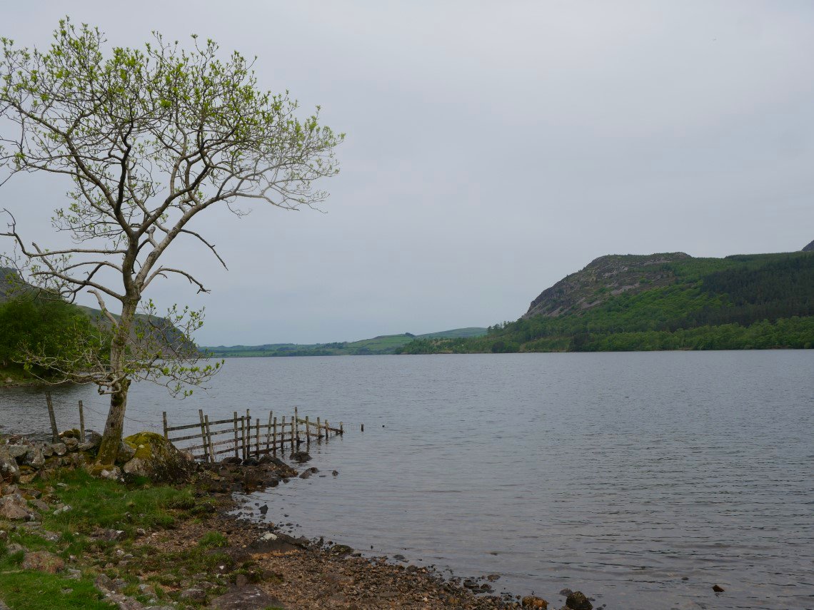
And to the north through the valley of Whiteoak Beck is sunny Loweswater with Low Fell above.
After lunch Helen was leaving us to head back to her car whilst we steel ourselves ( sorry ) for the climb of Steel Brow.
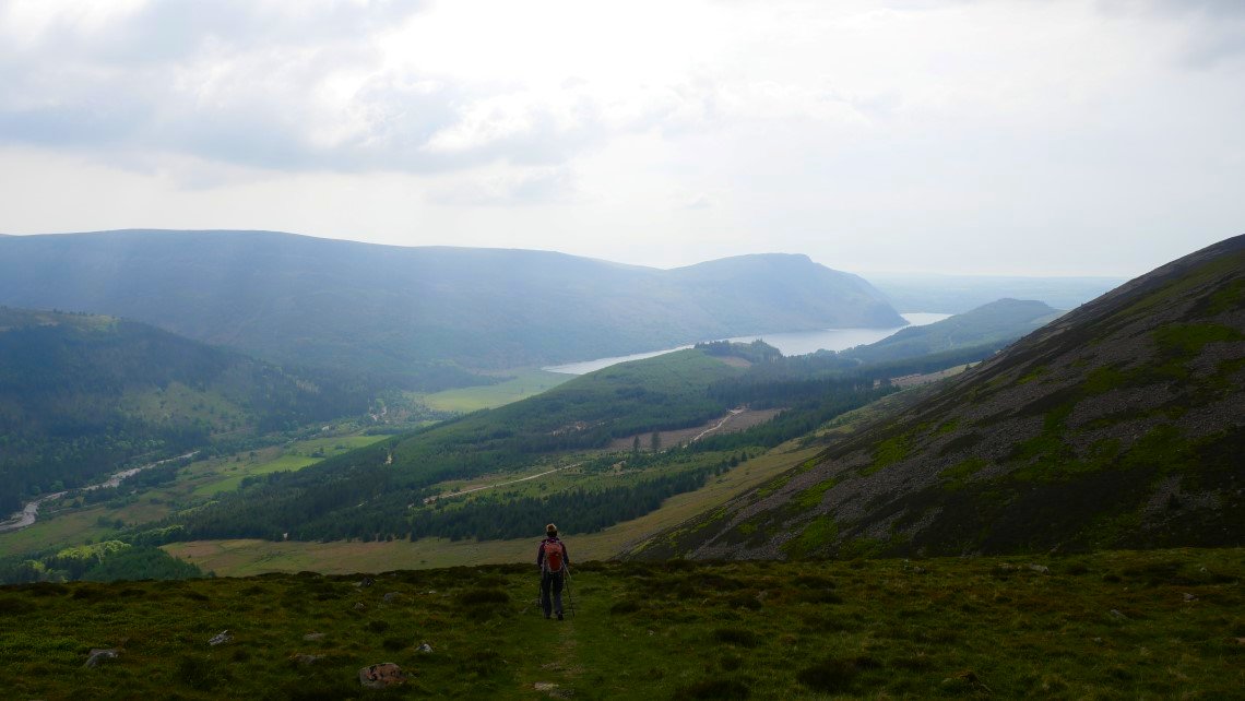
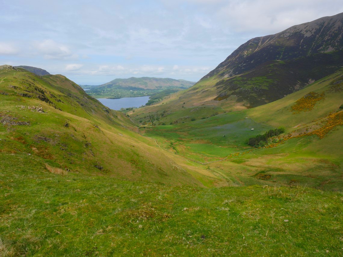
The very boggy pass carries on downwards past Scale Knott to Crummock water then Buttermere.
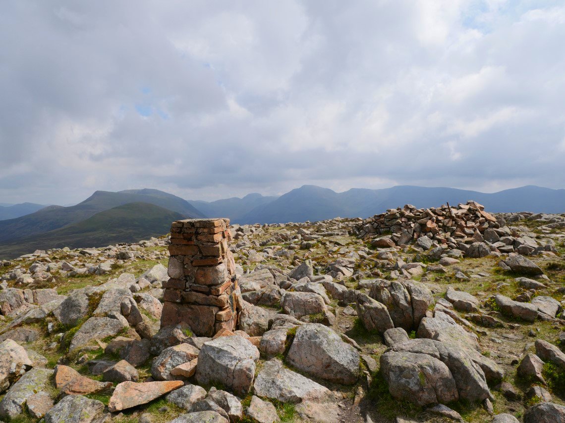
After the pull up Steel Brow it's not that far to the summit of Great Borne. Starling Dodd is the green hill and next stop along the ridge.
A bit brighter over Grasmoor and Crummock Water.
And in the other direction is the ridge from Pillar on the left over Scoat Fell to Haycock on the right.
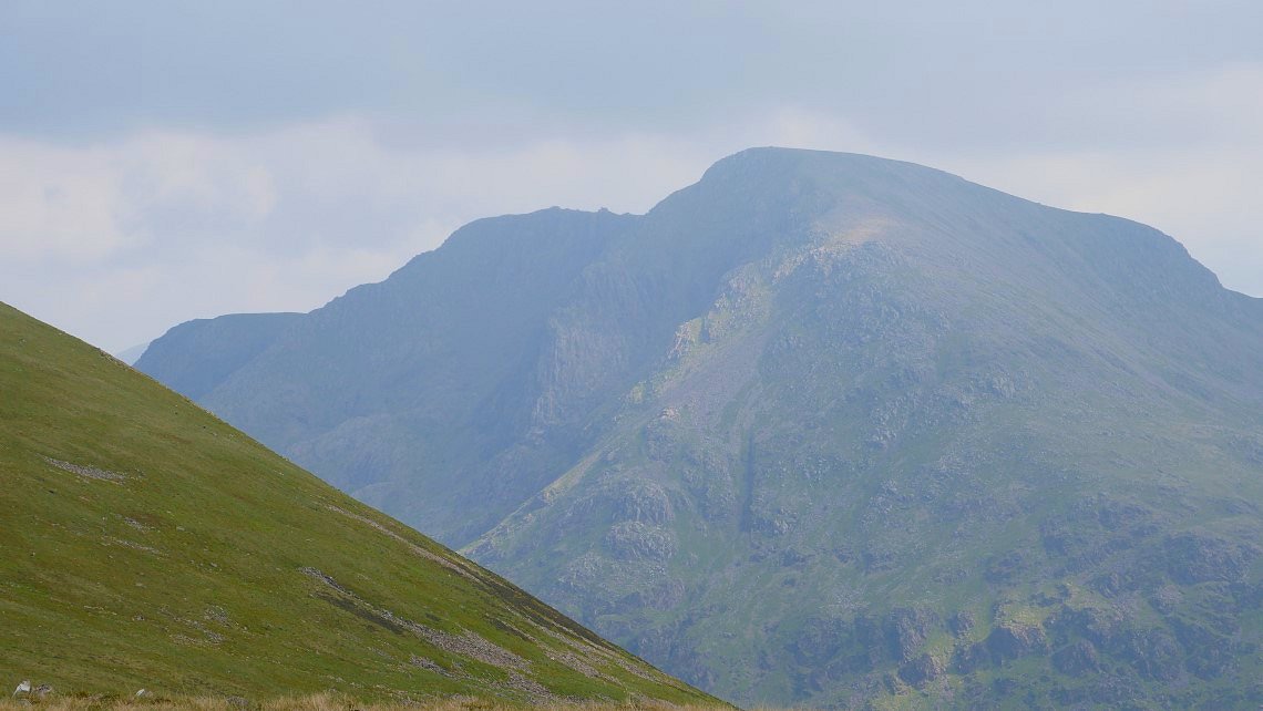
Zooming in to a bit of sunlight on the rugged northern face of Pillar.
From Starling Dodd the path takes us past Little Dodd and then across the fellside to meet the more distinct public footpath coming down from Red Pike
Which descends steeply between two blocks of trees to the forestry track and the Hostel
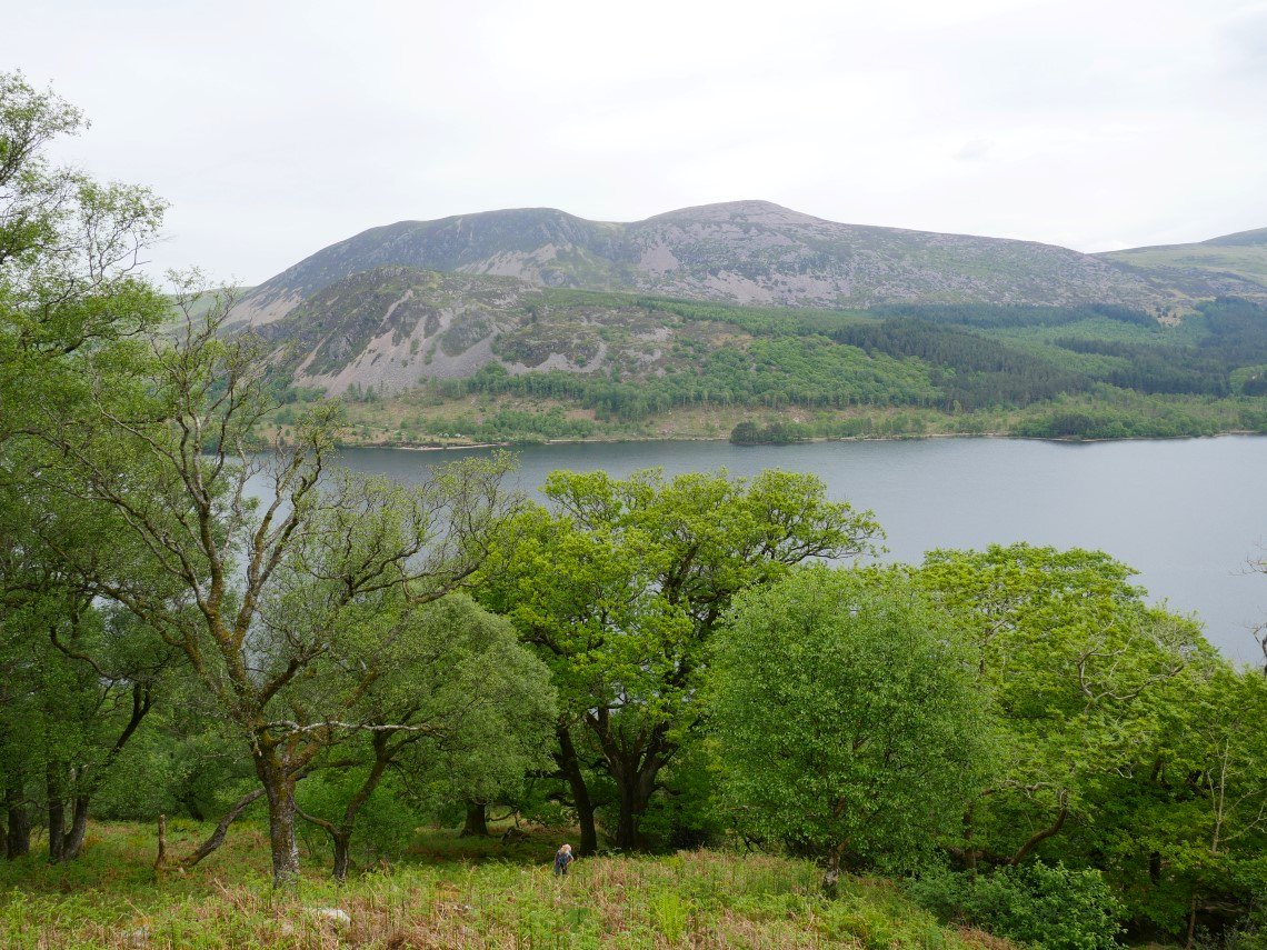
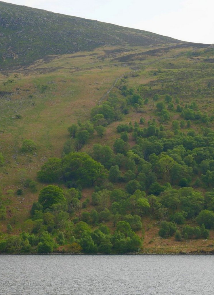
Today's plan was to climb Crag Fell and Grike. So the path on the south side of the lake was used today which is lovely but quite rough with lots of tree roots and rocks to negotiate. This is looking towards the western end of Ennerdale Water.
And this is looking to the eastern end with Starling Dodd in the centre background and Red Pike and the High Stile ridge to the right.
We had seen on the map that there was a path leading away from the lake up the hill following Red Beck which would allow us to have a circular walk without retracing our steps up and down Ben Gill.
I thought this was a great way up, steep but not overly so and with great views back down and here to Crag Fell.
After leaving the trees the path reaches a complicated fence junction which is climbed over on through steps.

From the fence it's not far to the mine track which runs under Crag Fell and Grike and it didn't take long to reach the top of Crag Fell from where I took a panoramic photo of most of Ennerdale water with the fells walked yesterday above.
Looking across to Grike.
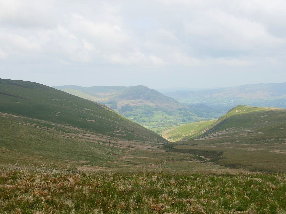
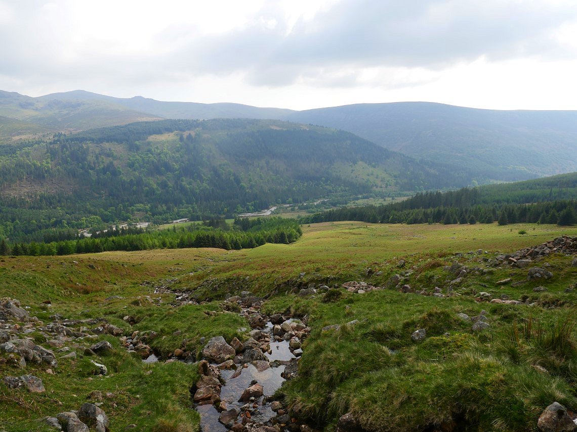
To be honest Grike is not the most exciting of tops but there is a good view down to the river Calder and the coast.
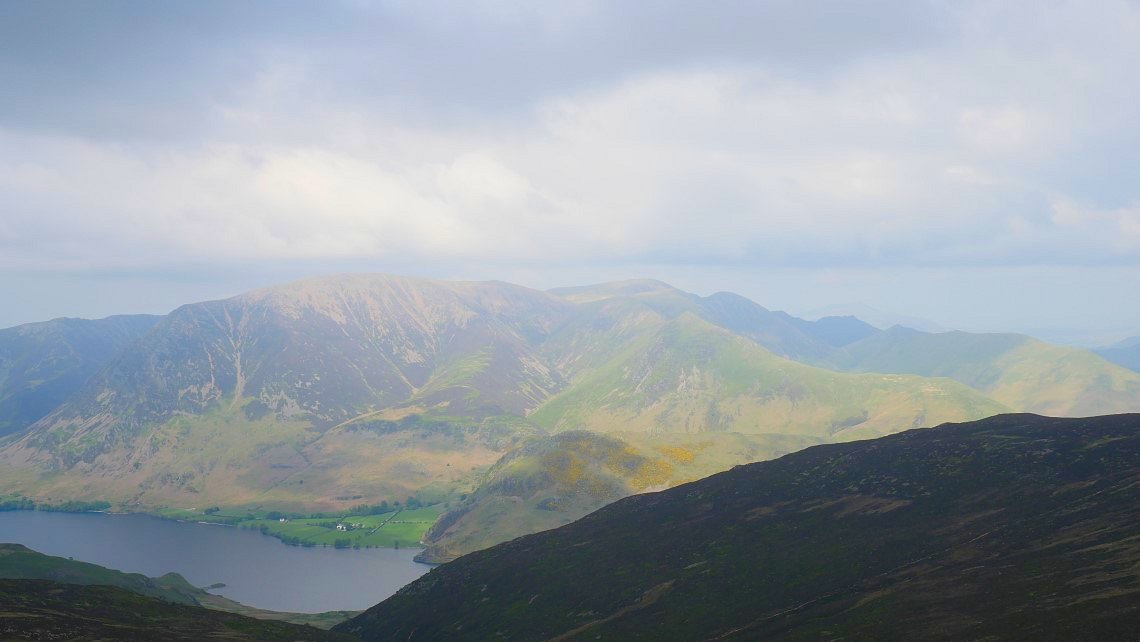
It's all downhill now to the lakeshore. Herdus and Great Borne are to the right with Blake fell in the centre and Knock Murton to the left.
Now we had the long walk back around the head and along the full length of the lake. The view along the lake to Pillar is pretty good though.
A look back to the head of the lake.
Looking across to our route up by Red Gill. The path climbs through the trees to the right of the wall. The complicated wall junction can be seen top right.
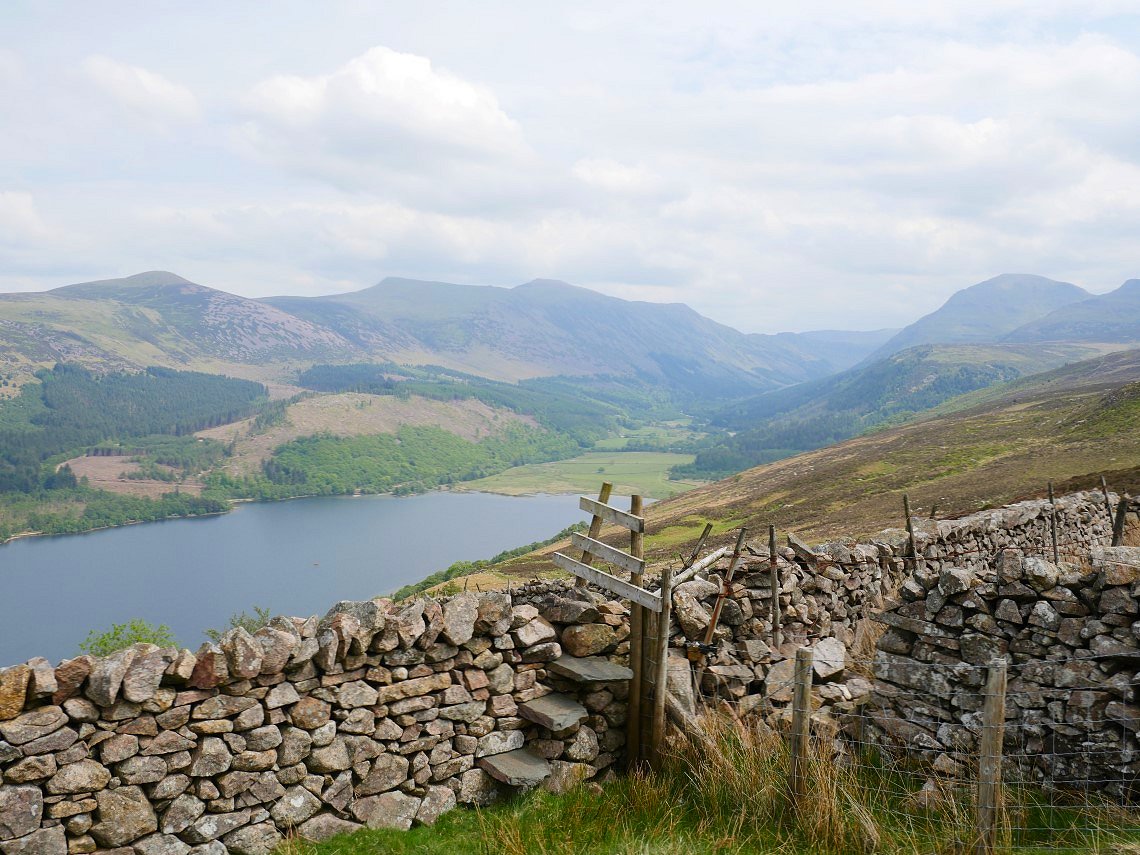
On Monday we loaded up the car and headed home but stopping off at Buttermere to climb Rannerdale Knotts and have a look at the bluebells.
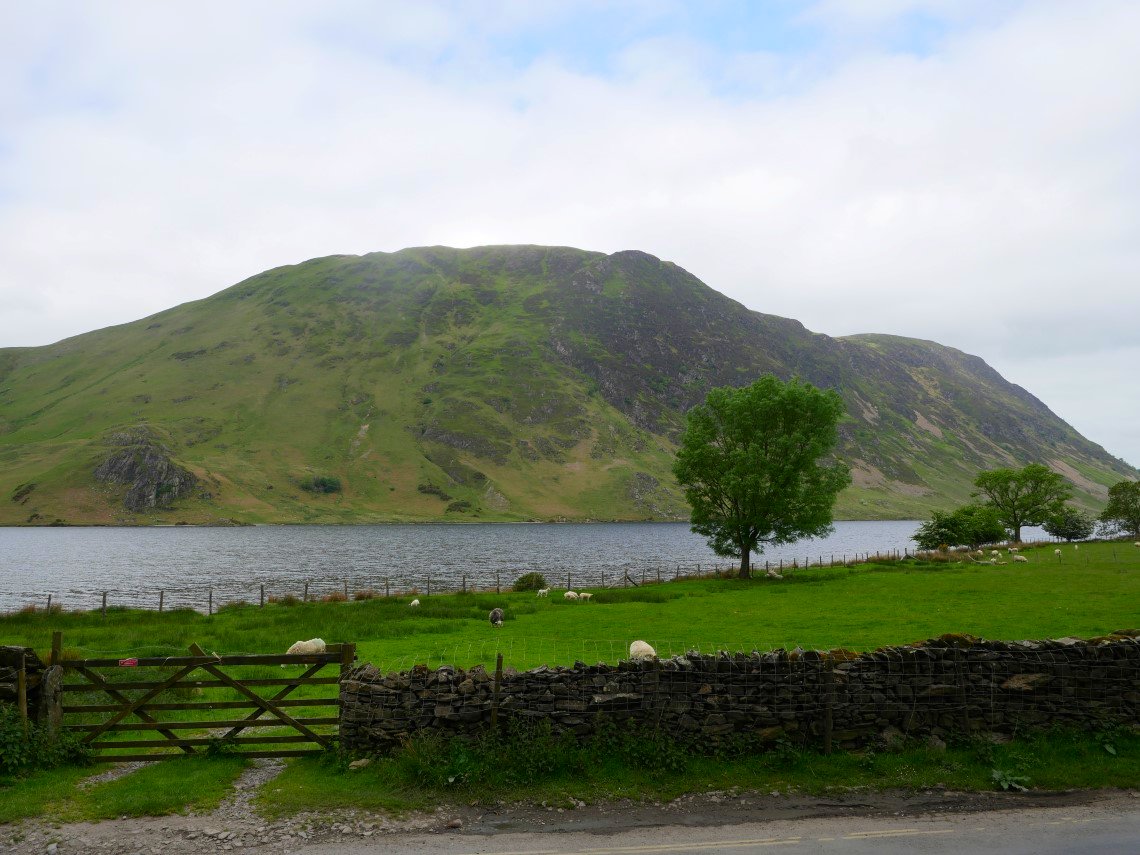
Mellbreak across Crummock water from the small car park at Dale How.
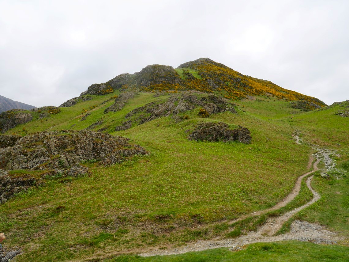
From where a steep path climbs directly up Rannerdale Knotts.
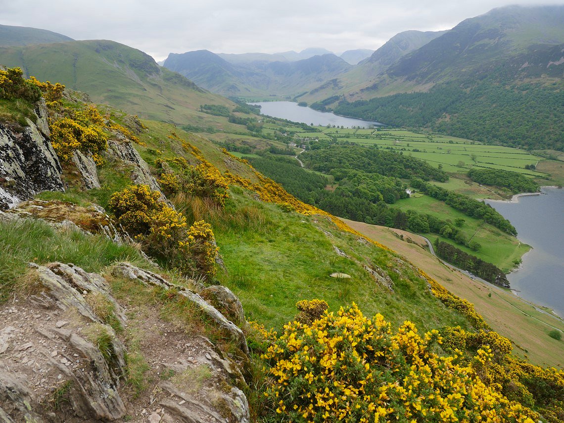
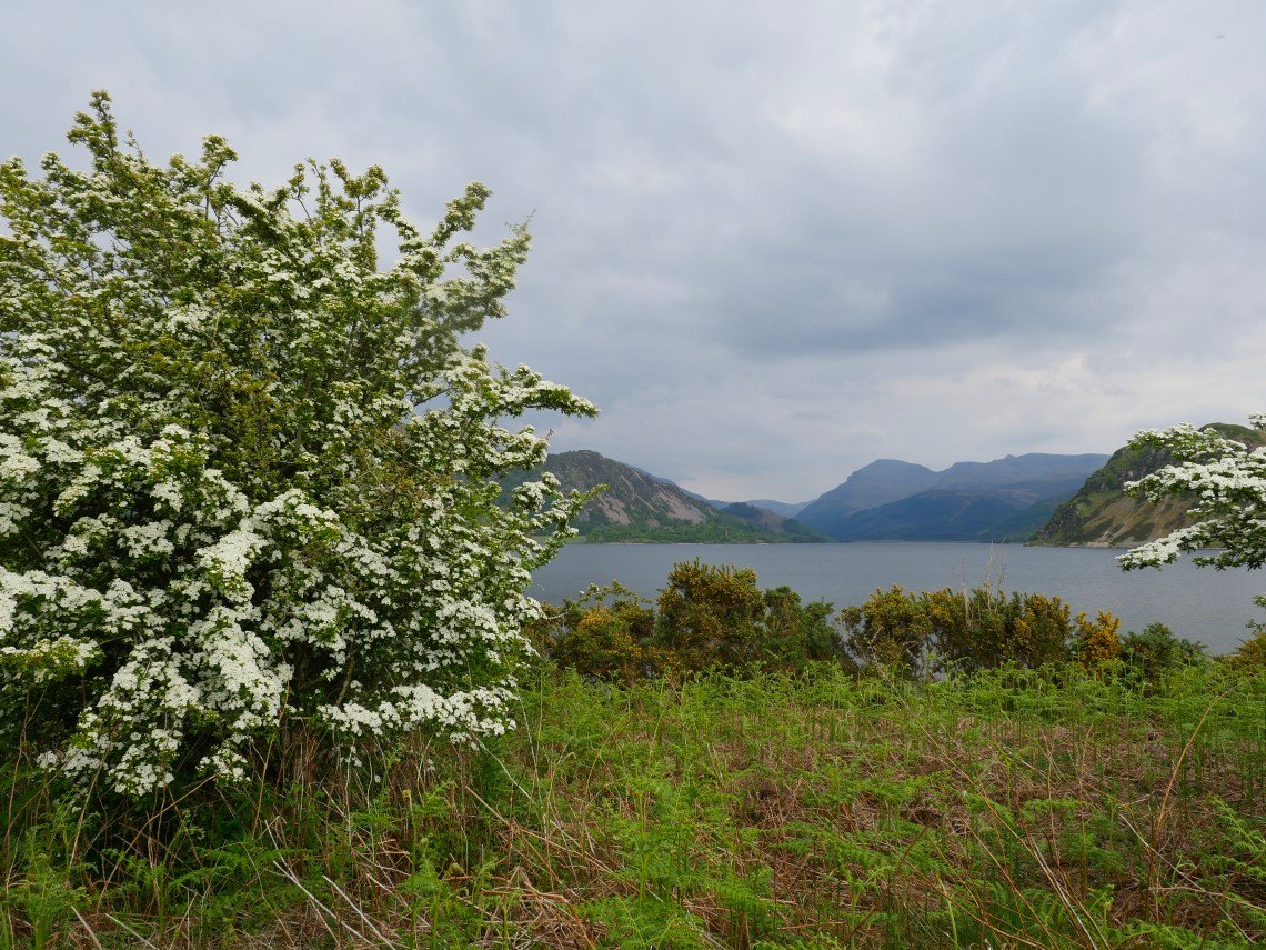
The brilliant view along Buttermere to Fleetwith Pike, Haystacks, Great Gable and Kirk Fell.
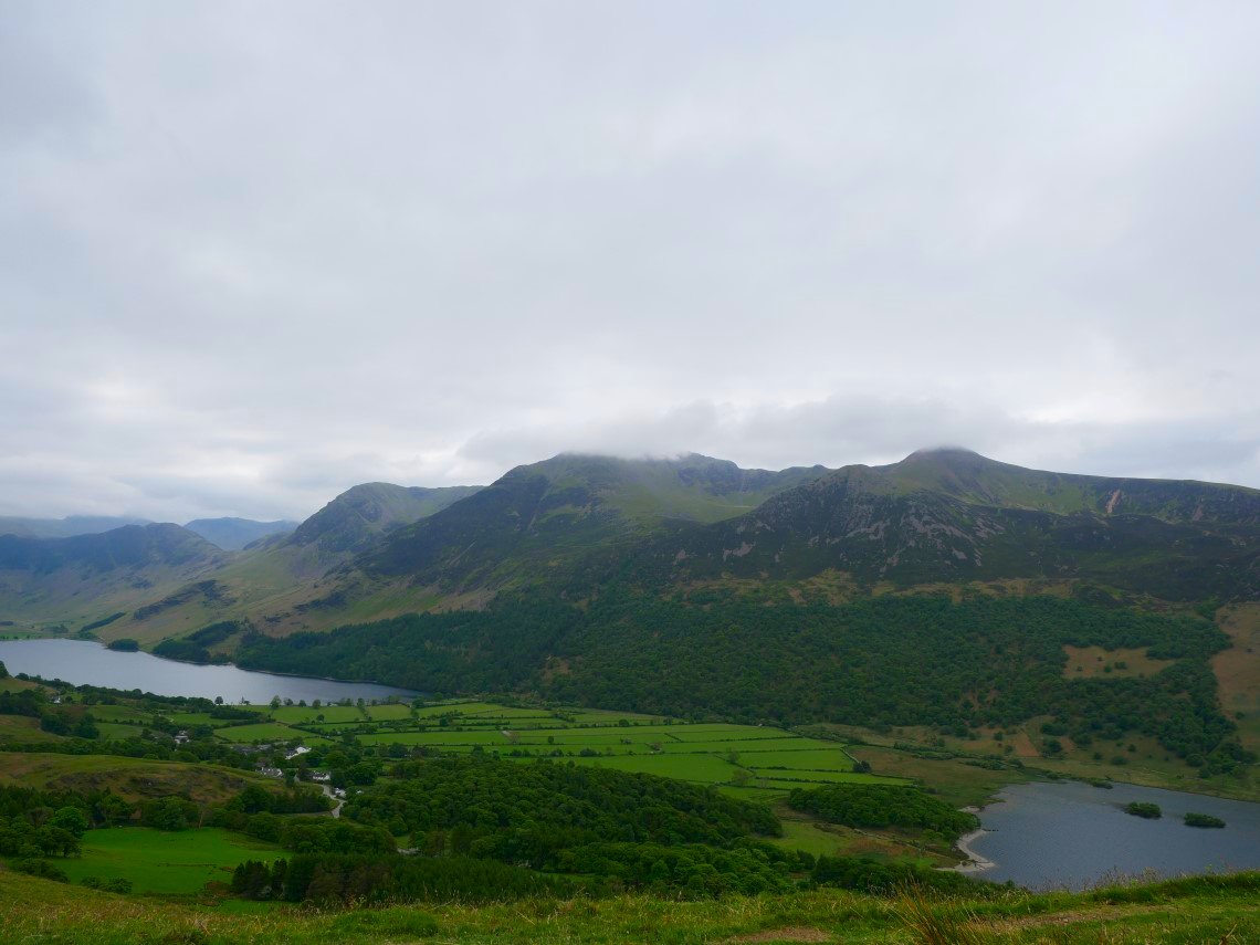
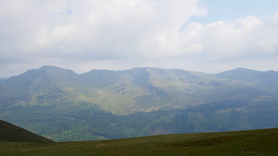
The full High Stile ridge with a bit of low cloud bothering the tops.
From the end of Rannerdale Knotts we doubled back into the valley of Squat Beck. The Loweswater fells in the distance
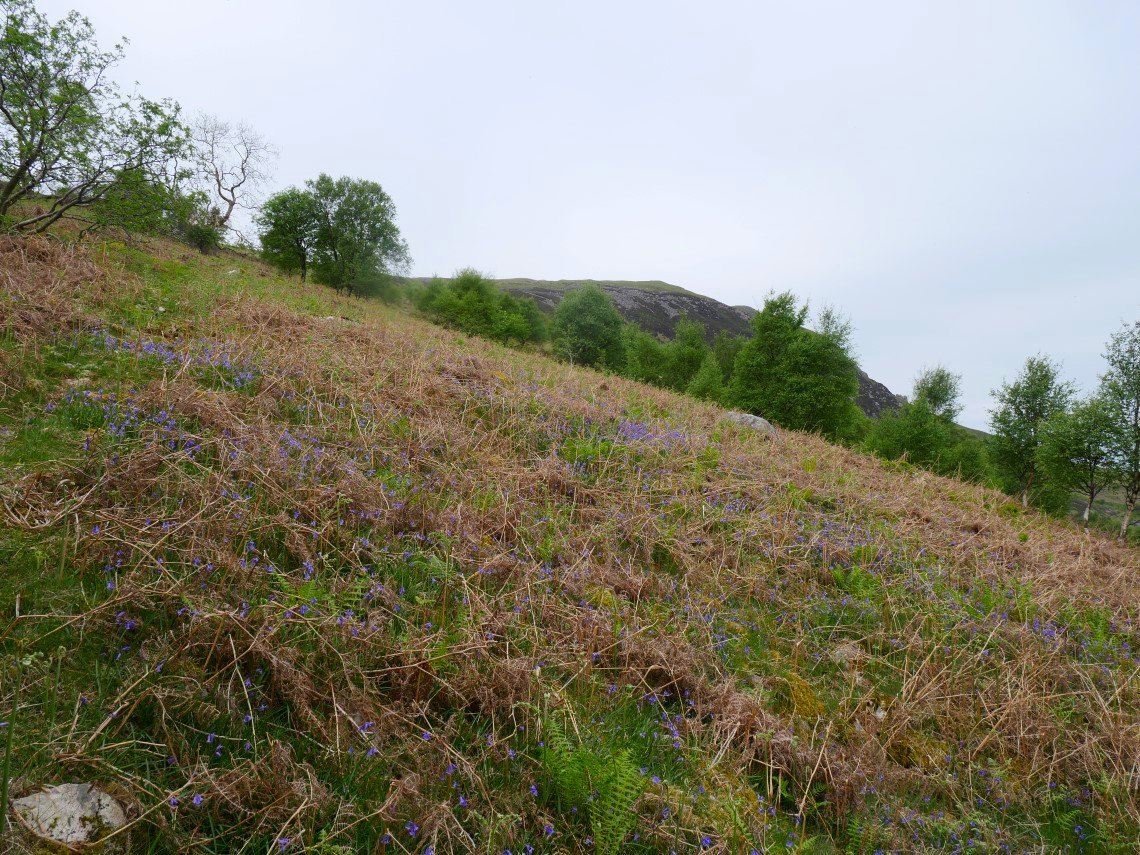
Rannerdale bluebells.
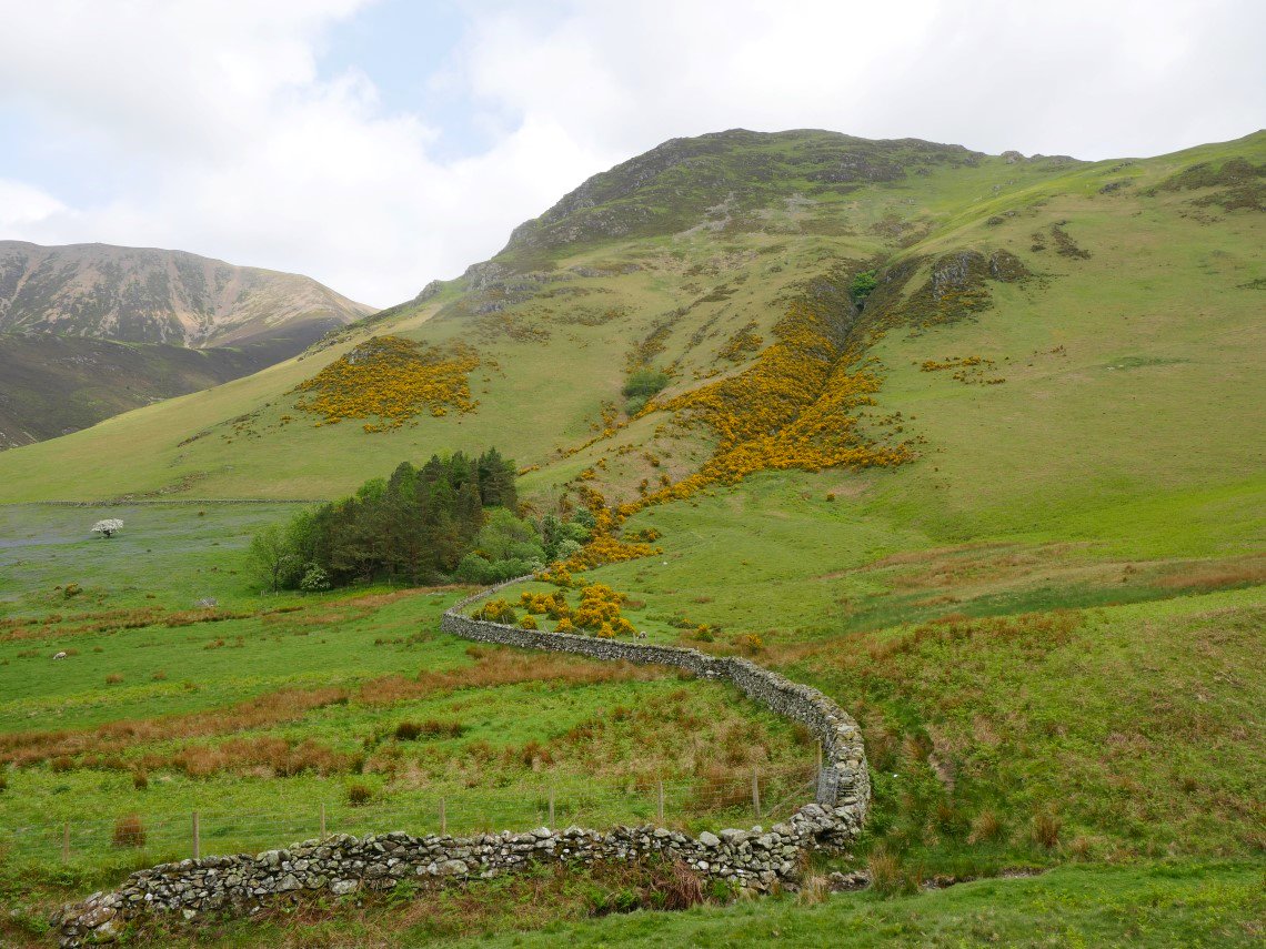
And Rannerdale gorse.
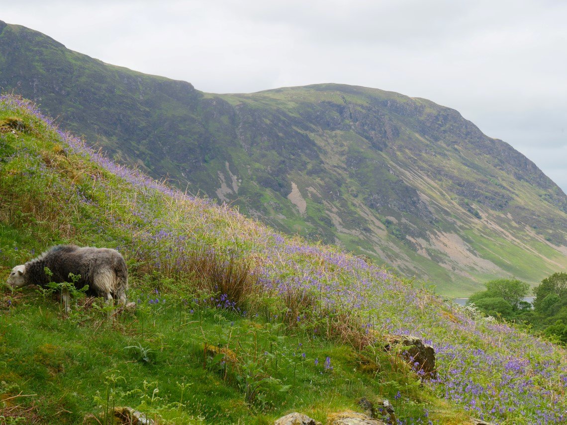
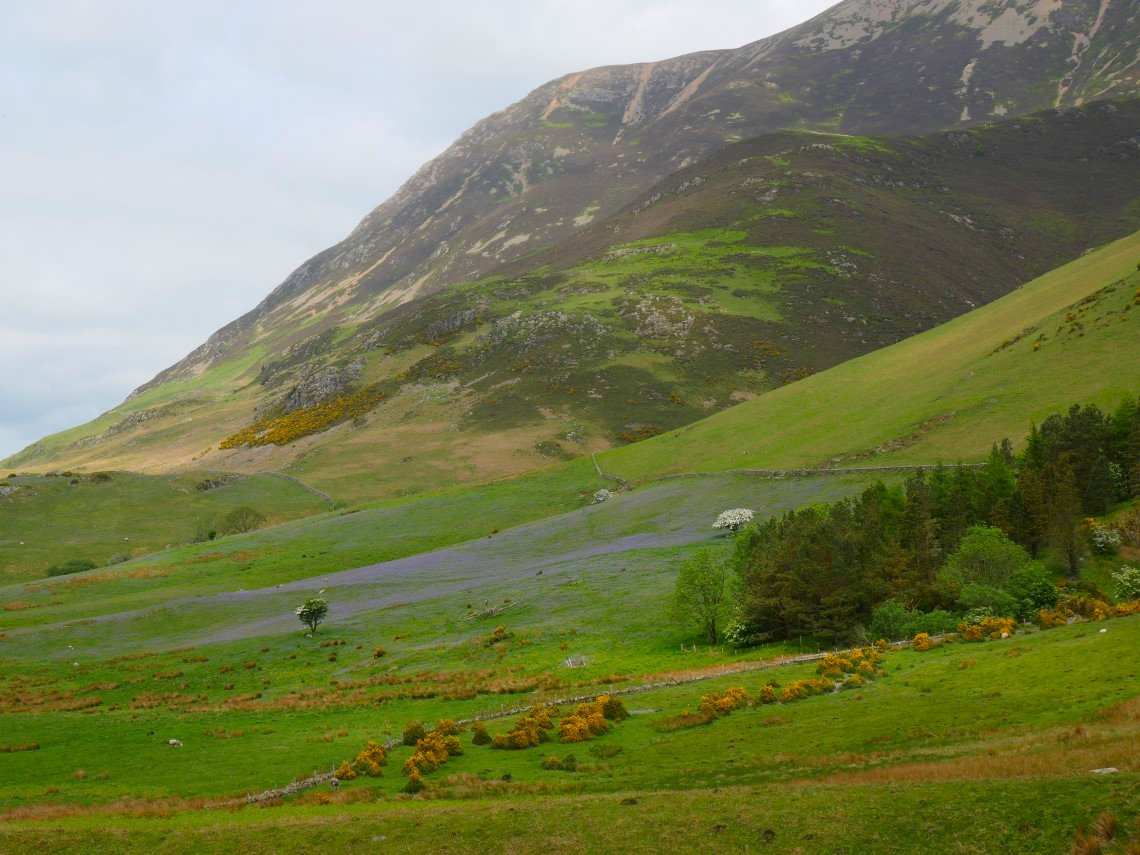
Nearly back to the car now passing this bank of bluebells with Mellbreak in the background.
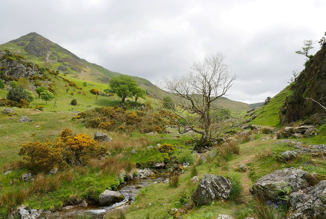
A look back up the valley with Whiteless Pike above.
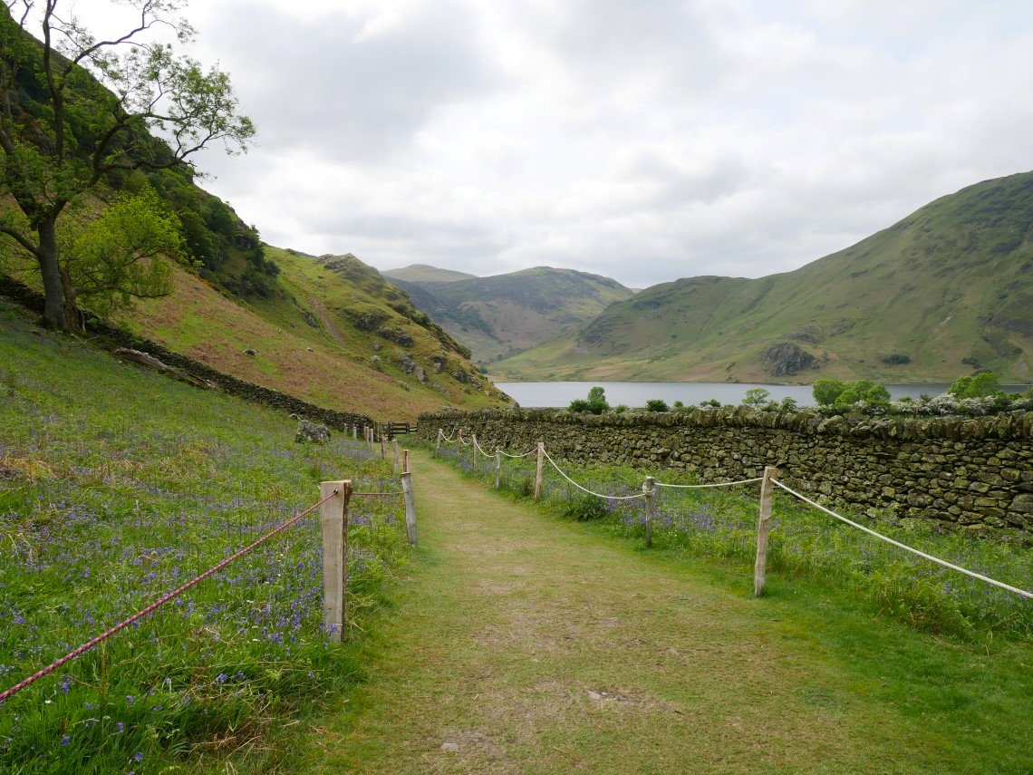
Wooden stakes and old climbing ropes make a nice way to border the path. We headed home via George Fisher's shop in Keswick where Sue's wallet took a battering as she finally replaced some of her ancient gear.
Previous walk - Around Harter Fell - Next walk - High Rigg and along the Dodds