WWW.KARLSWALKS.CO.UK
PICTURES AND TRIP REPORTS FROM MY WALKS IN THE ENGLISH LAKE DISTRICT
|
|
|
|
||||
|
|
|
|
|
|
|
|
E-mail - karl@karlswalks.co.uk |
Two days in one again this week. Due to babysitting duties Sue could only walk on Saturday and David also fancied a trip to the Lakes but due to football watching duties could only walk on Sunday. I hadn't got any pressing duties so had two nice days out ( especially as I was chauffeured both days )
The weather was pretty similar on both days although the sunshine which was forecast for Saturday morning never showed up and the rain forecast for Sunday also stayed away. Both days were a bit dull but sometimes that's your lot.
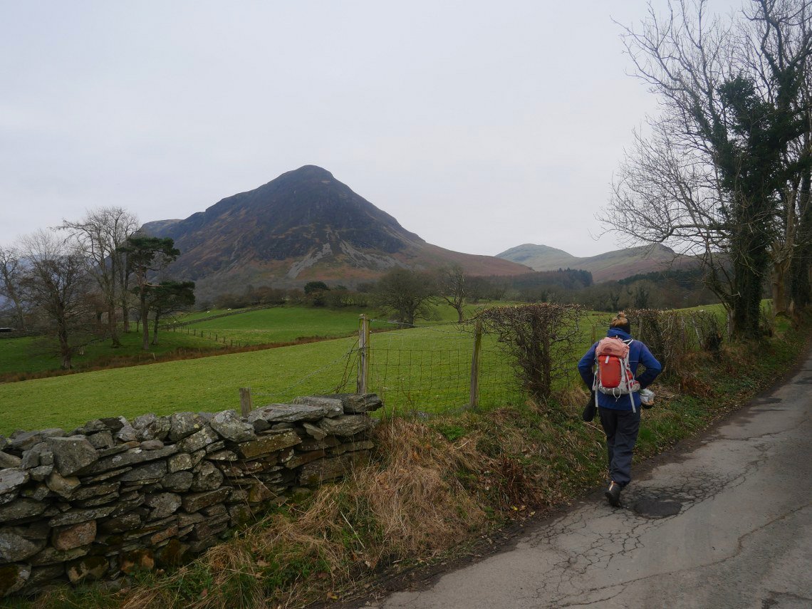
Here we are setting off along the lane from Church Bridge with Mellbreak ahead.
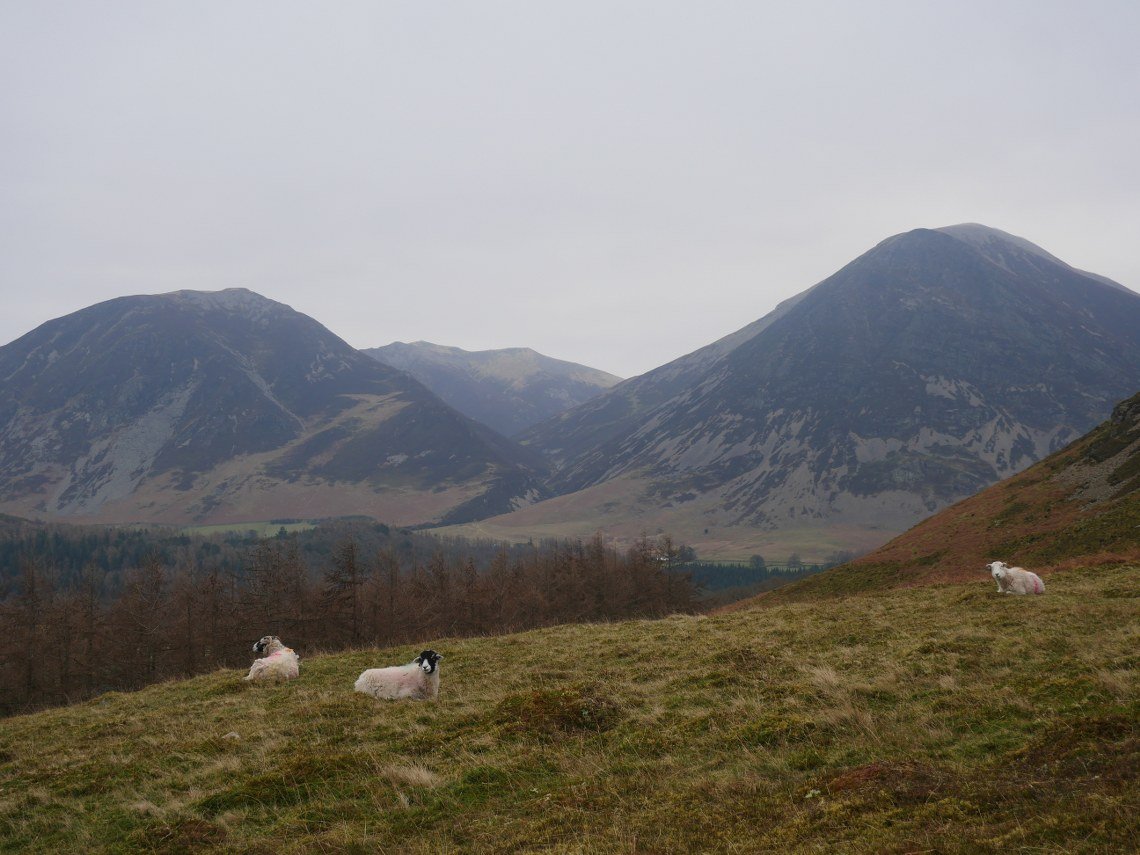
Grasmoor on the right, Whiteside on the left and Hopegill Head in the middle.
Looking back to Loweswater, Darling Fell and Low Fell.
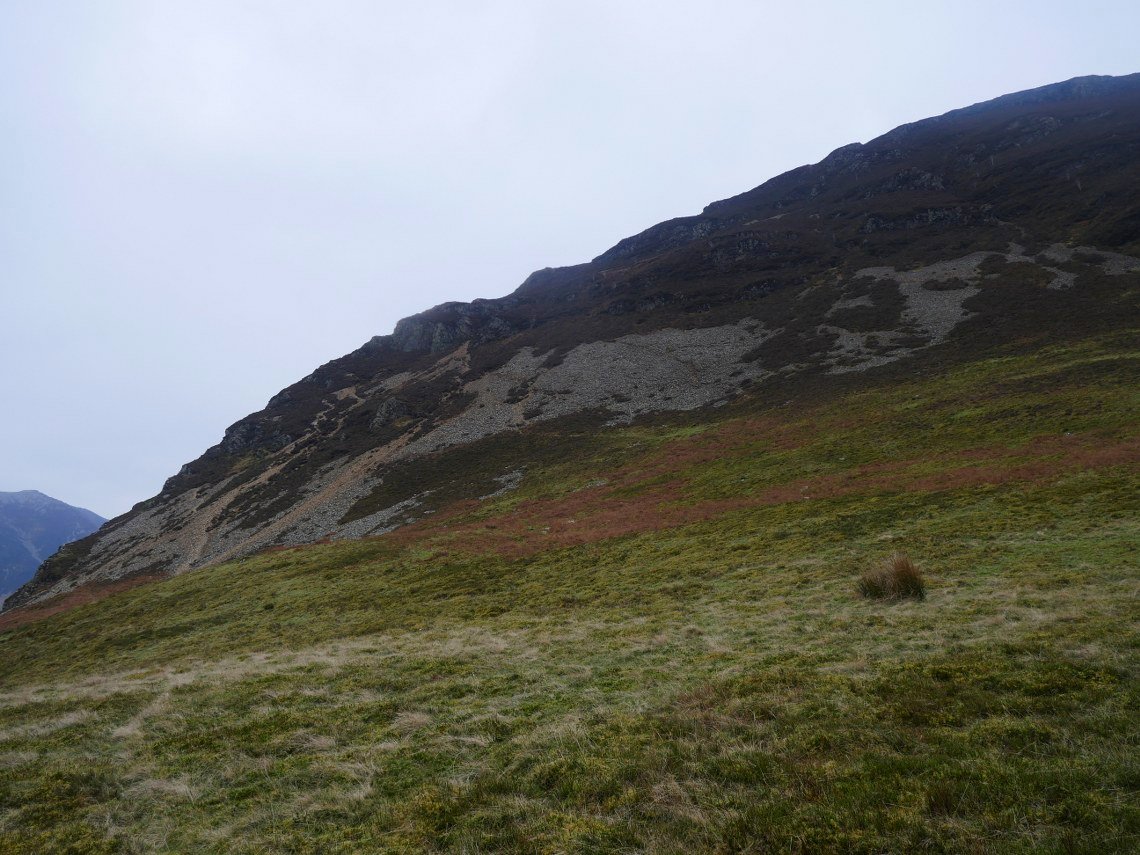
We weren't going up the steep north end of Mellbreak today but rather used the thin trod along the western flank.
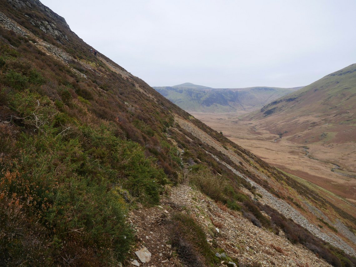
And at times it does become a very thin trod which was a bit unstable underfoot in places. We decided that in future we would use the path along the valley and take the hit of having a bit more of a climb.
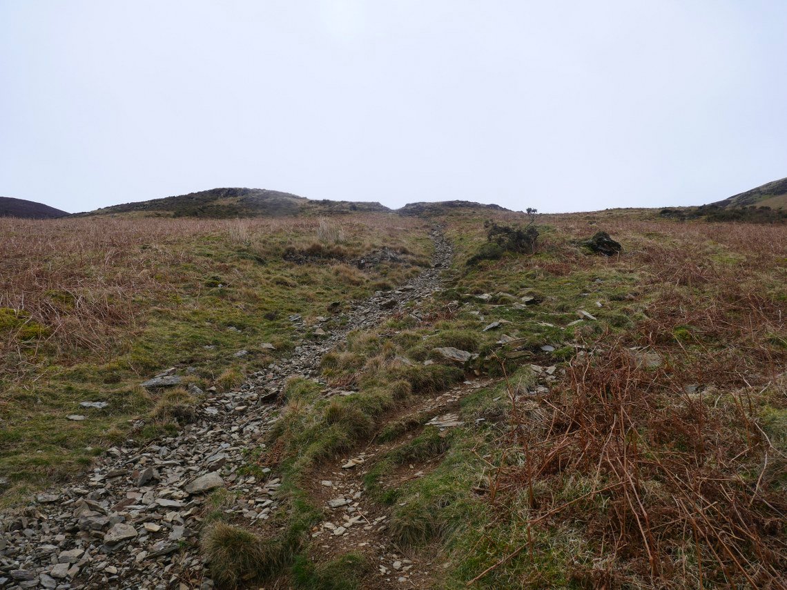
Here we are on the climb and it is quite a pull up to the saddle between the north and south tops of Mellbreak.
The holly tree and Mosedale from the climb.
.
Once at the saddle we decided that as we felt a bit lazy I would just take a photo of the ( slightly lower ) north top instead of making the trip out and back. Crummock Water is below to the right.
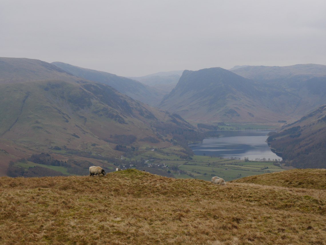
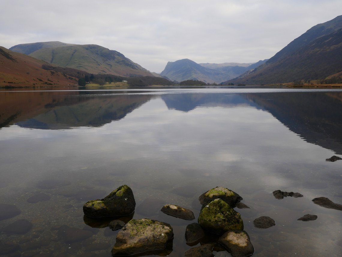
Hazy view of Buttermere and Fleetwith Pike.
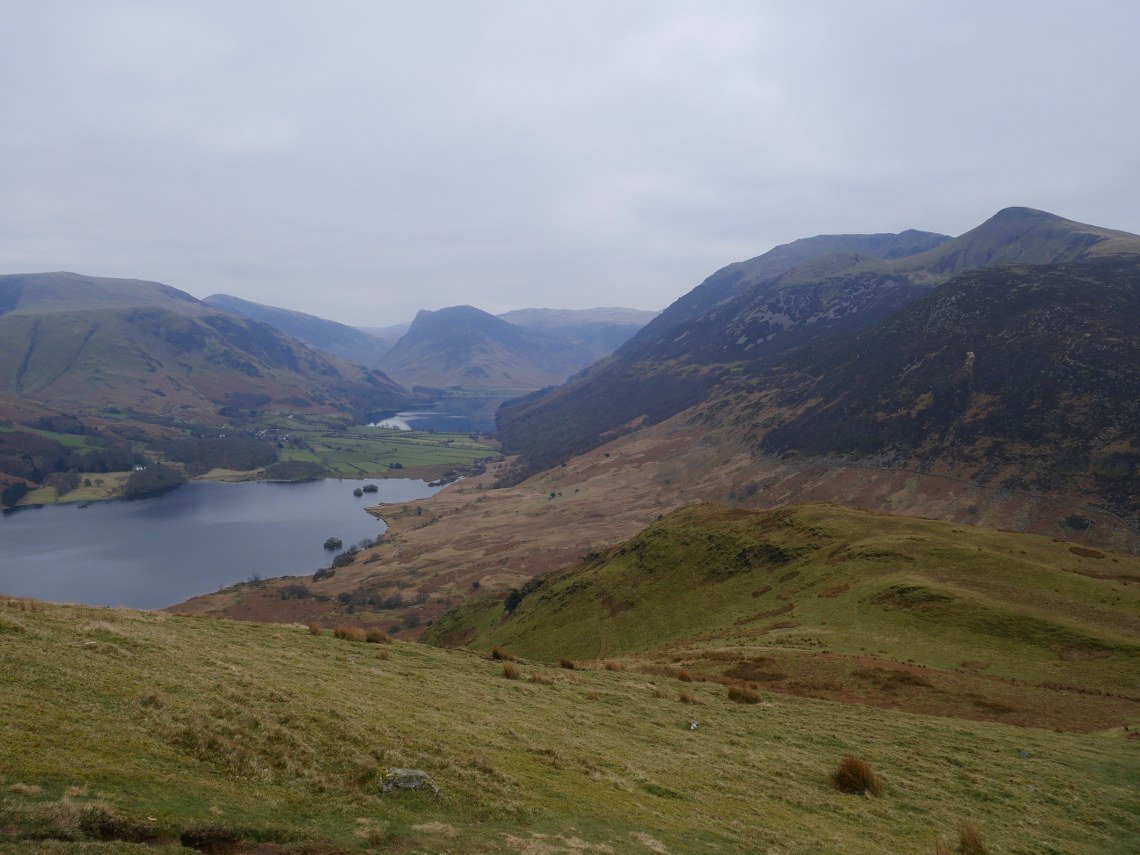
In contrast to the north end the descent down the south end is over grass. If like us you were doing a circular walk along Crummock Water back to Loweswater the path does take you away from the lake and circles around Scale Knott ( to the right in this picture ) as the side facing Crummock Water is very steep and craggy..
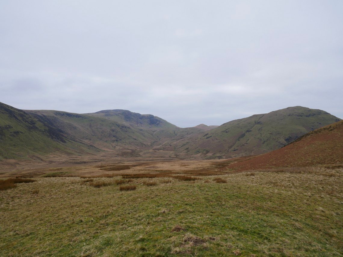
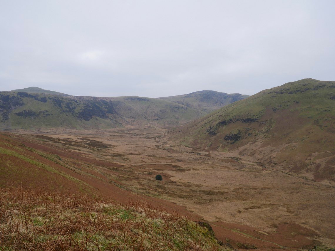
The very boggy pass between Buttermere and Ennerdale. Hen Comb is on the right with Gale Fell on the left.
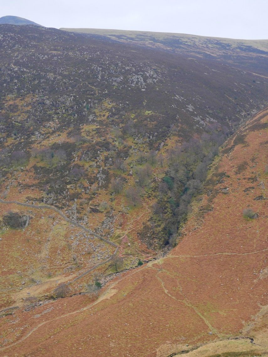
Scale Force waterfall is hidden by the trees in the ravine.
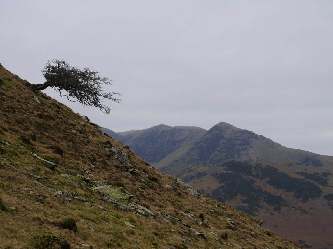
Coming back around to Crummock Water passing this tree just hanging on. Whiteless Pike is the pointy peak ahead.
Thankfully the chilly breeze which had been blowing all day disappeared as we walked in the lee of Mellbreak. The water was quite still so we had some nice reflections.
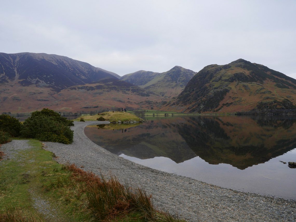
Low Ling Crag with Rannerdale across the water.
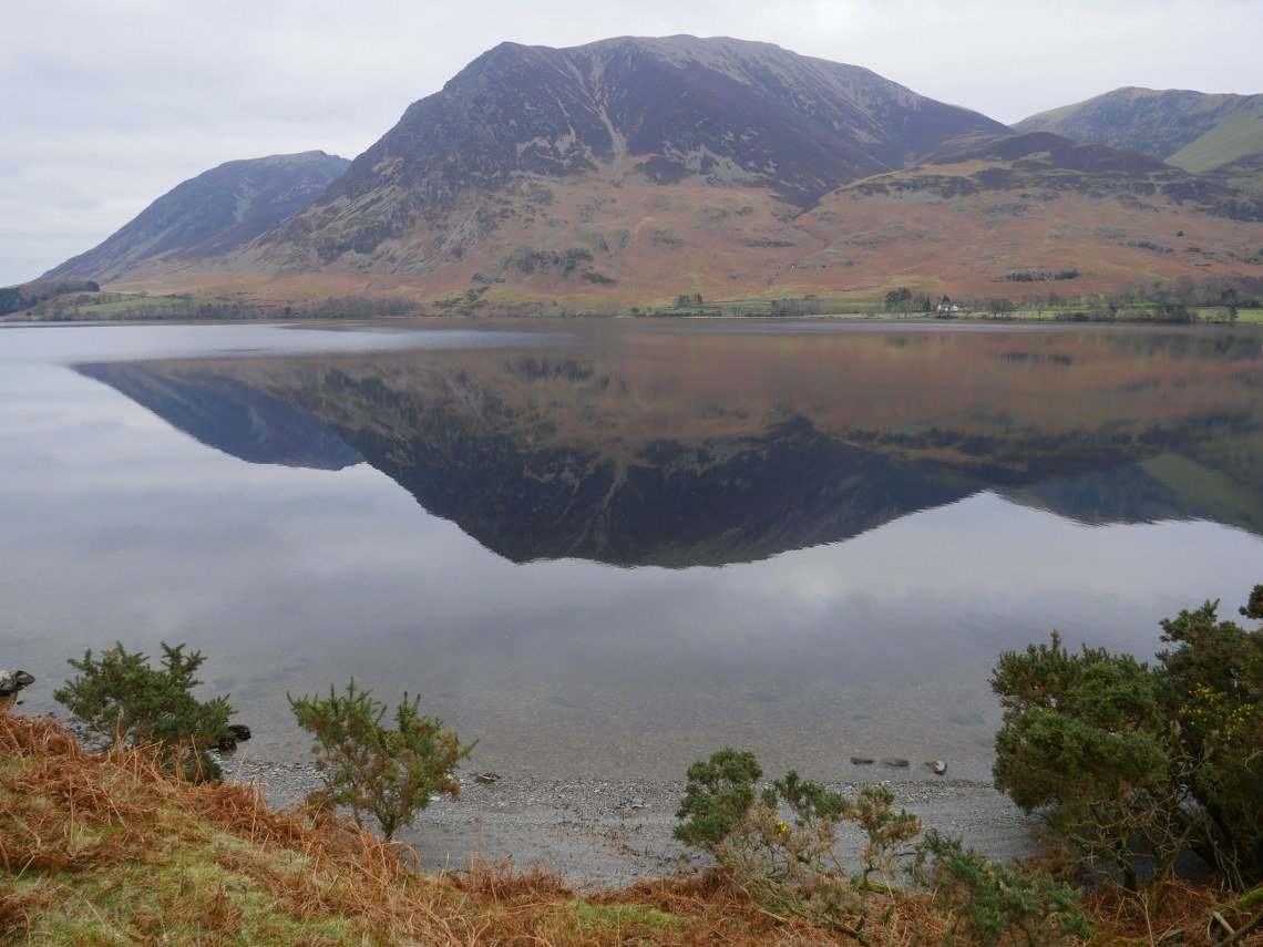
Grasmoor reflected.
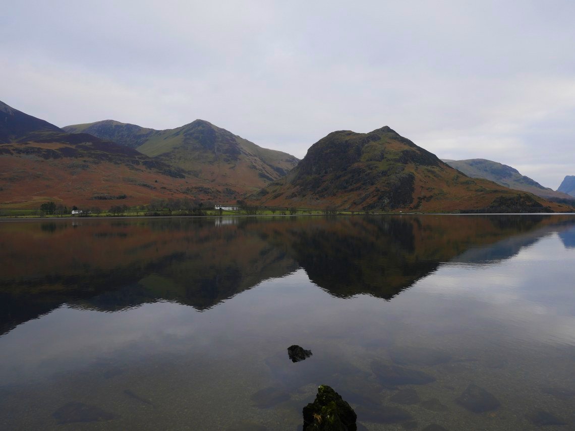
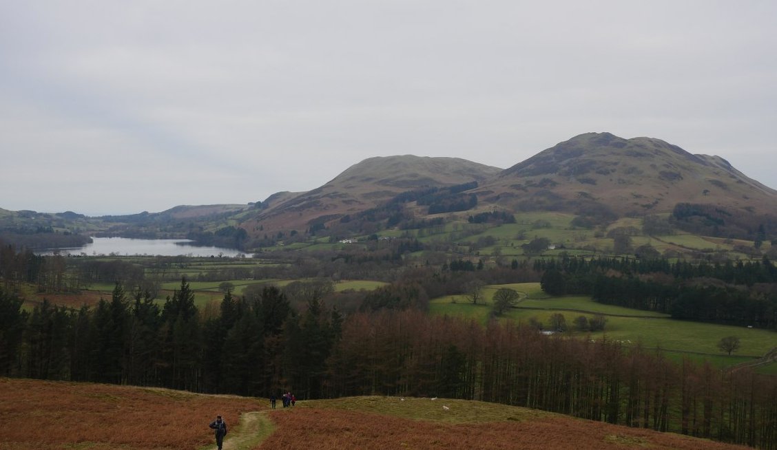
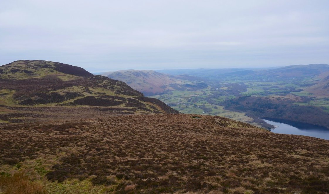
Rannerdale Knotts with Rannerdale Farm below. Whiteless Pike and the ridge to Wandope behind. We followed the shore back to Loweswater and the car.
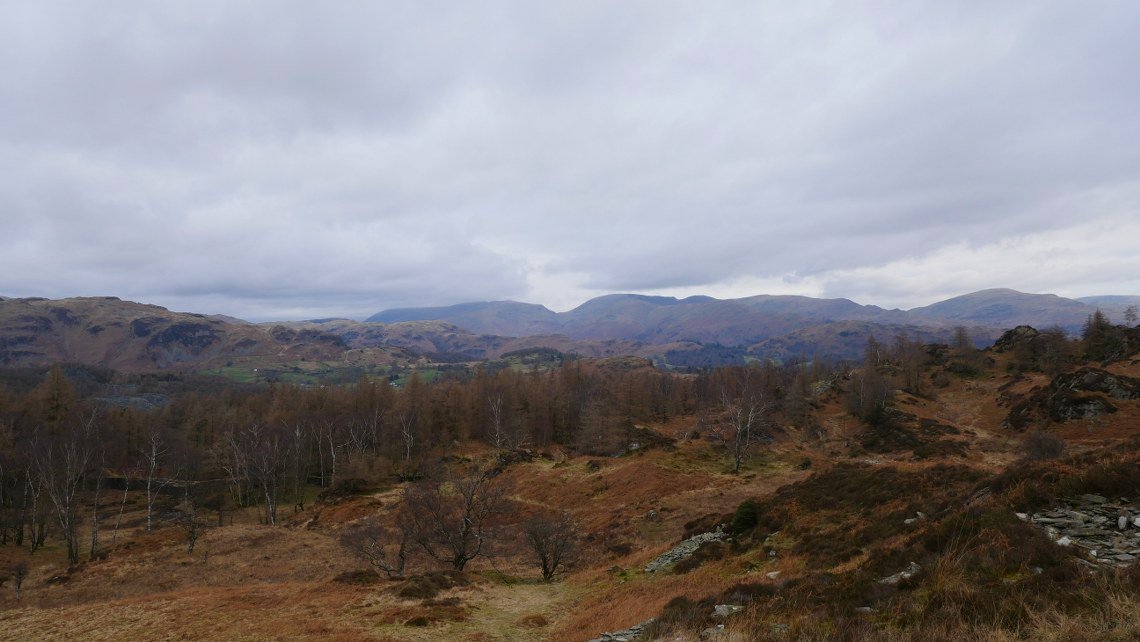
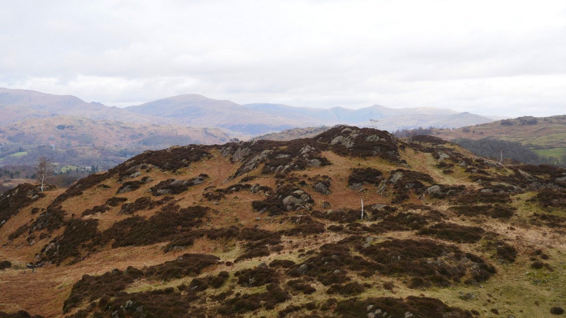
Sunday was a little bit brighter than Saturday and today as well as climbing to the Wainwright top of Holme Fell David and were going to do some exploring both above ground and below ground. This is looking up to Holme Fell.
The attractive old reservoir The main top is the one on the right.
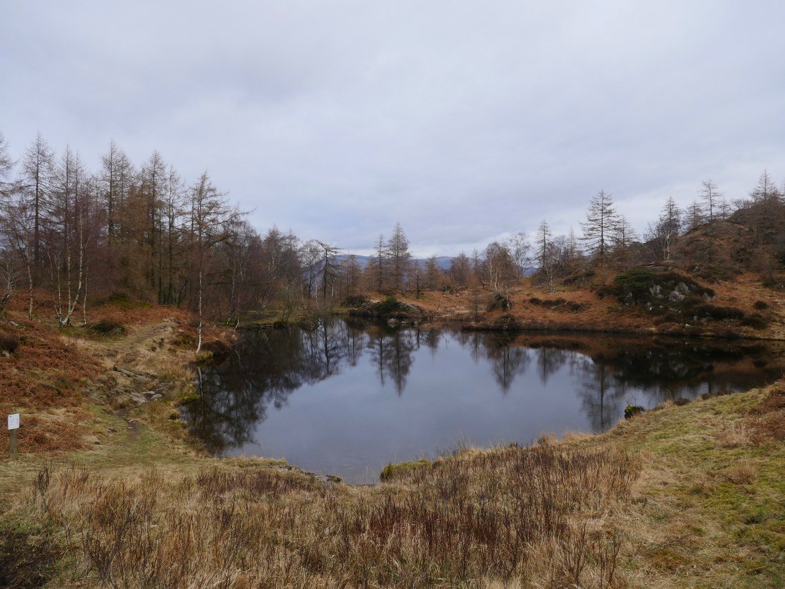
The reservoir from the other side.
The cool air meant the views were very good. Helvellyn looks to be just in the cloud with Fairfield and all the fells along to Red Screes clear.
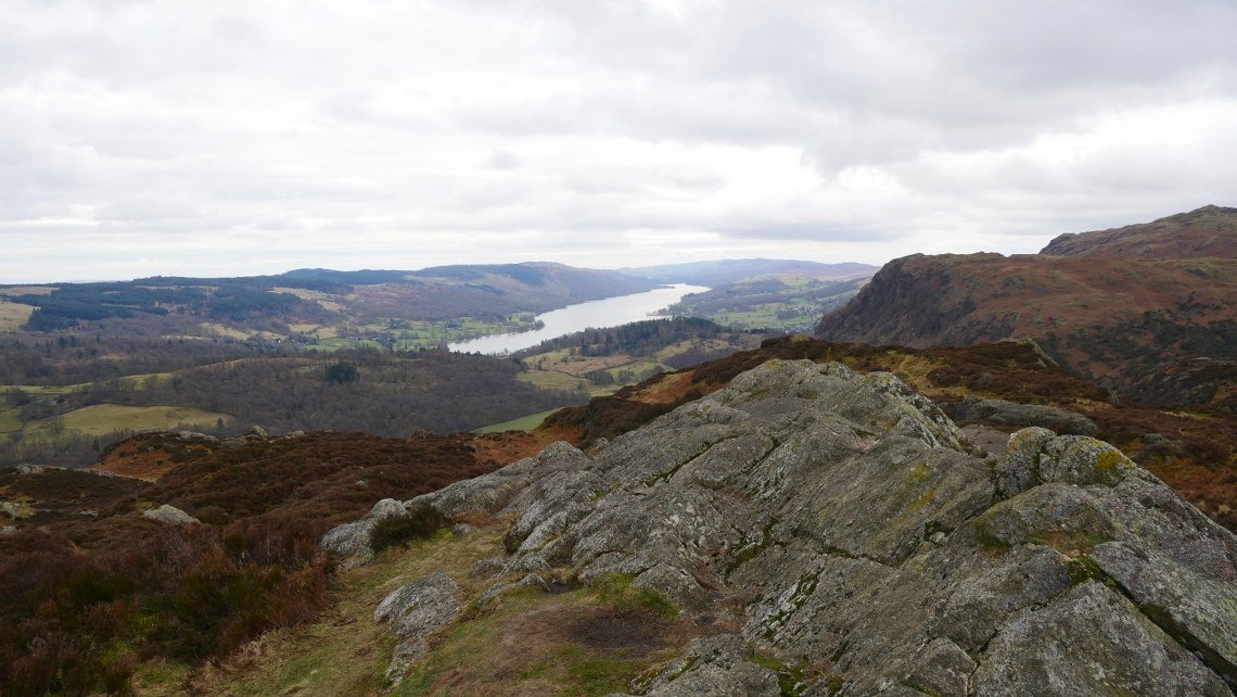
Coniston Water from Holme Fell.
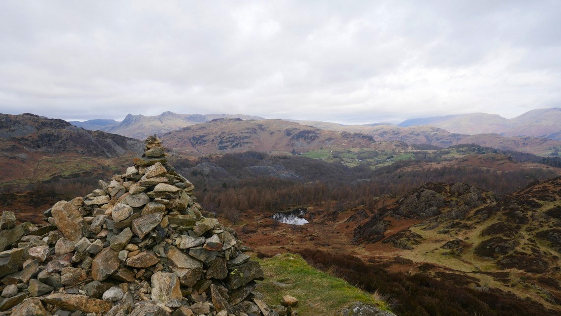
We descended, crossed a small col and climbed to the cairn on Ivy Crag The Langdale Pikes are above the cairn.
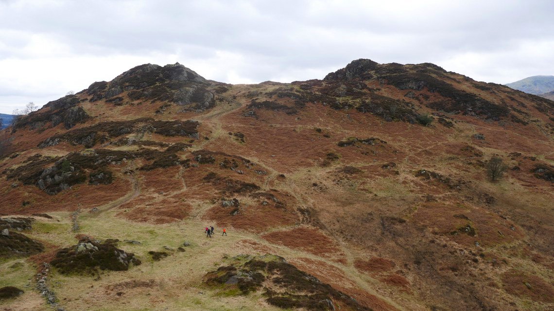
We descended again then climbed another small crag to get a look back at Ivy Crag and the top of Holme Fell.
We had a great time just following our noses north east along the high ground climbing out of little hollows and on to small crags.
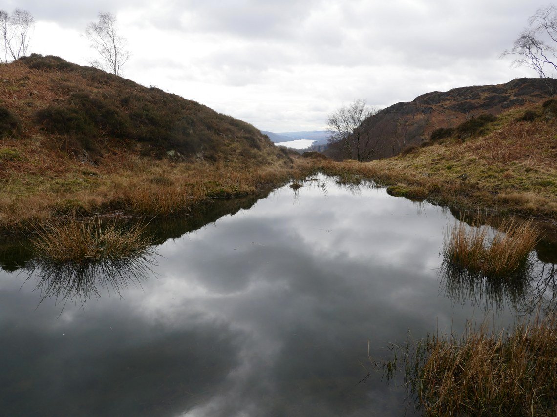
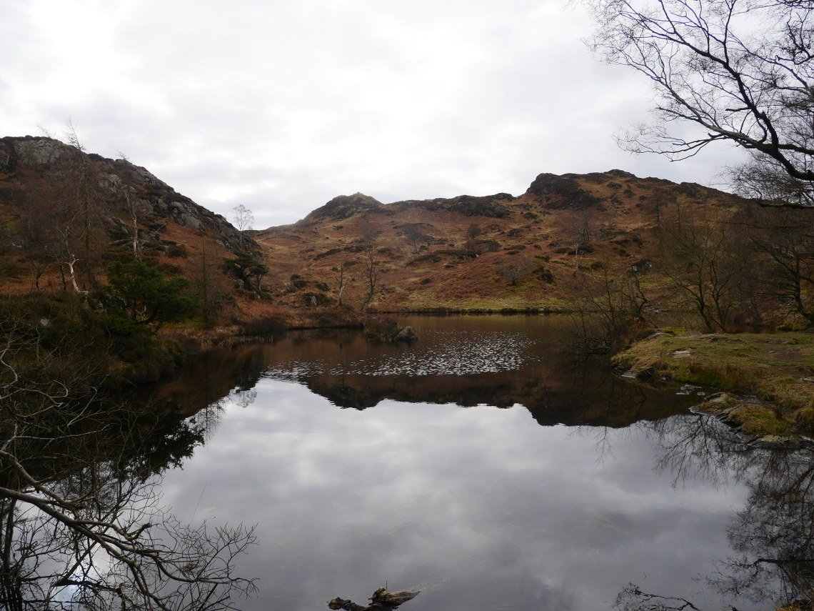
Finding this small tarn with a view of Coniston water in one of the hollows.
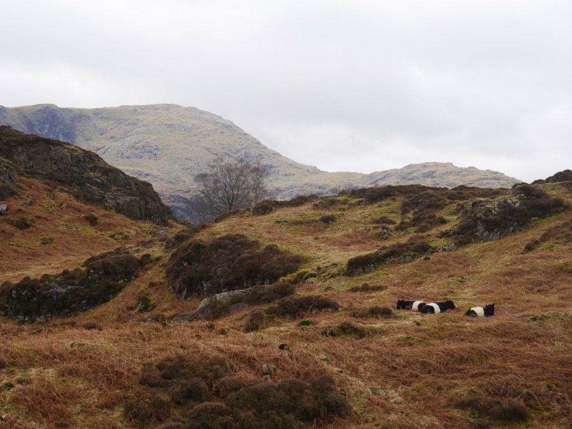
There was plenty of evidence on the ground of cows and we found a couple of the culprits relaxing on the fell. Wetherlam Edge is in the background.
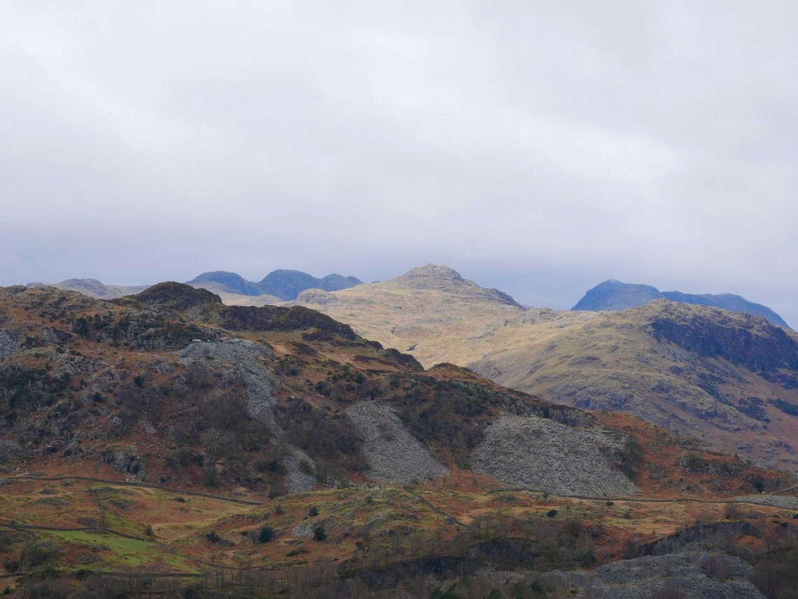
Lovely light on Pike O Blisco. Bowfell and Crinkle Crags are in shadow.
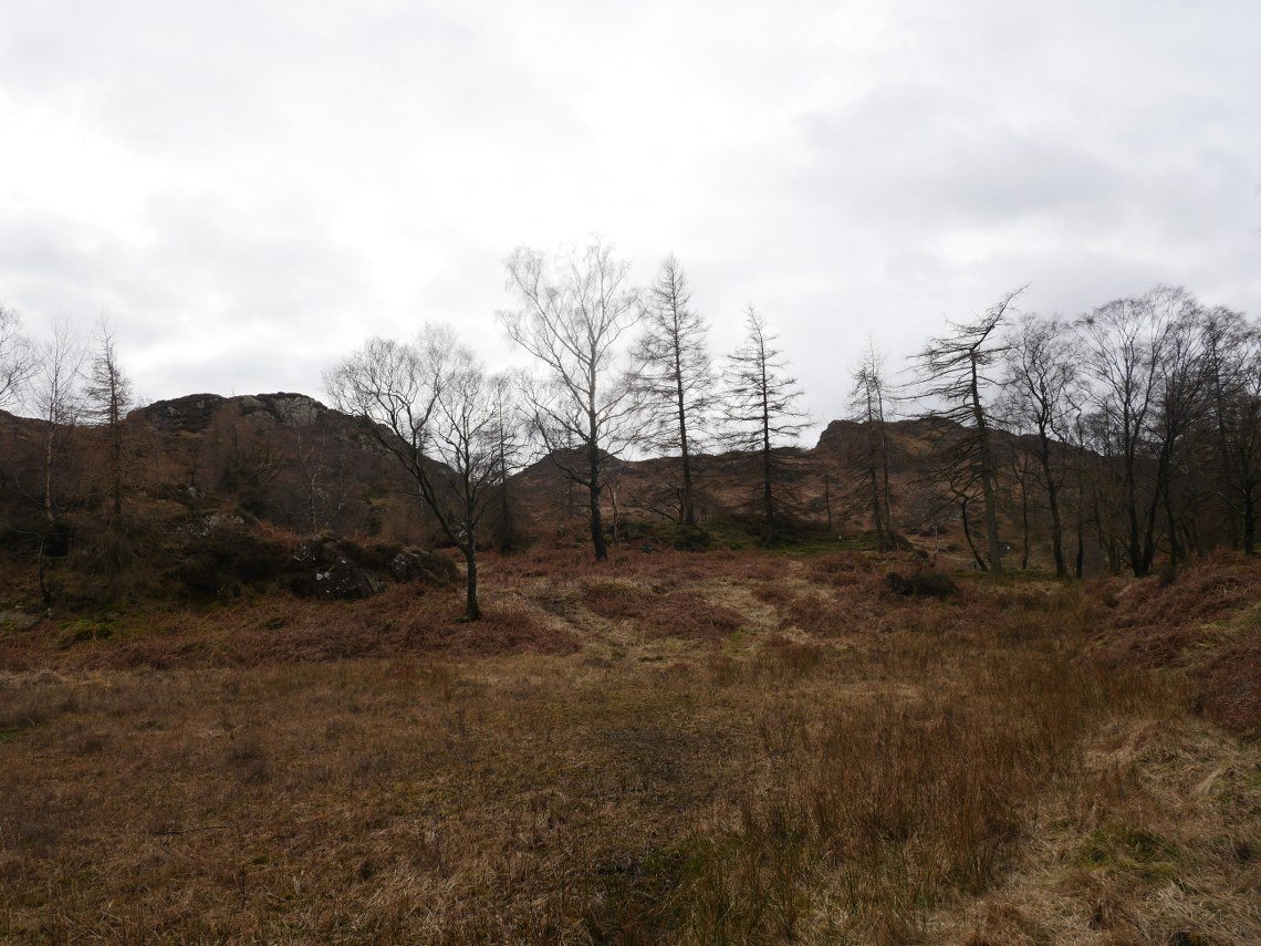
After passing over Man Crag we ran out of hills to climb so descended to the track past High Oxen.
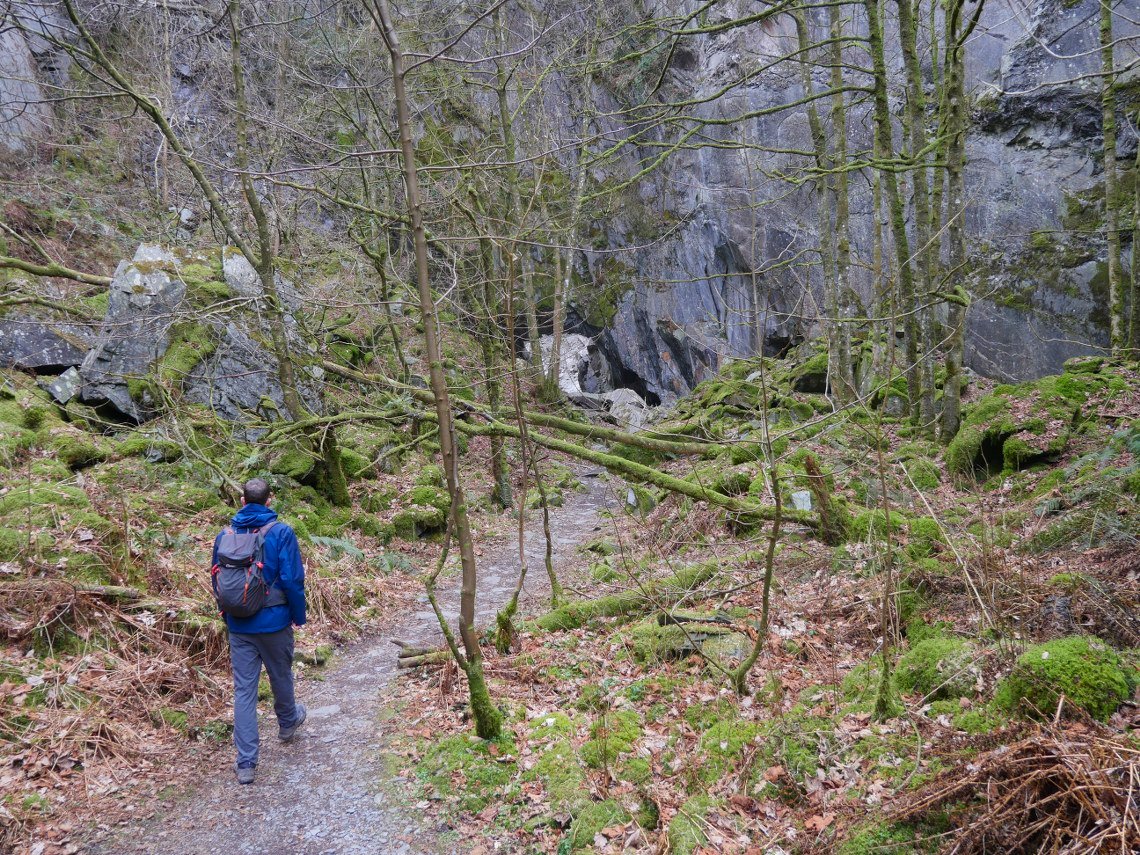
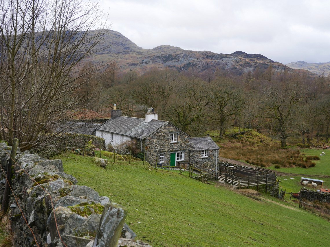
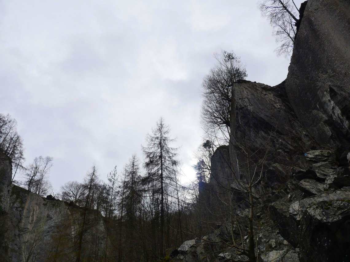
Just off the track is the rough descent to Hodge Close quarry.
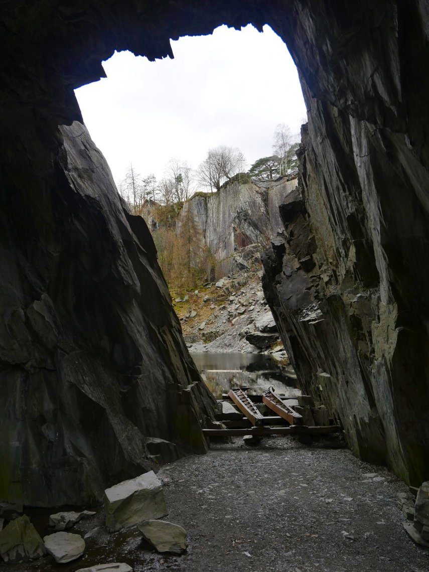
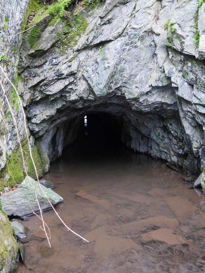
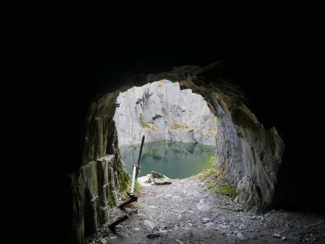
Looking out of the main cavern. The old ironwork goes down into the water.
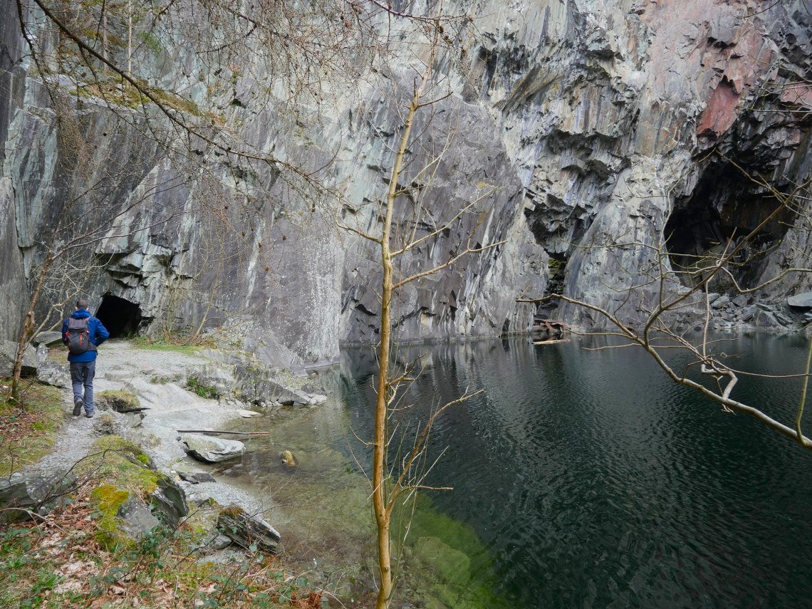
The deep and dark water of Hodge Close quarry. It's behind the trees on the right so you can't see it but there is a ladder up to the divers tunnel entrance to the quarry bowl.
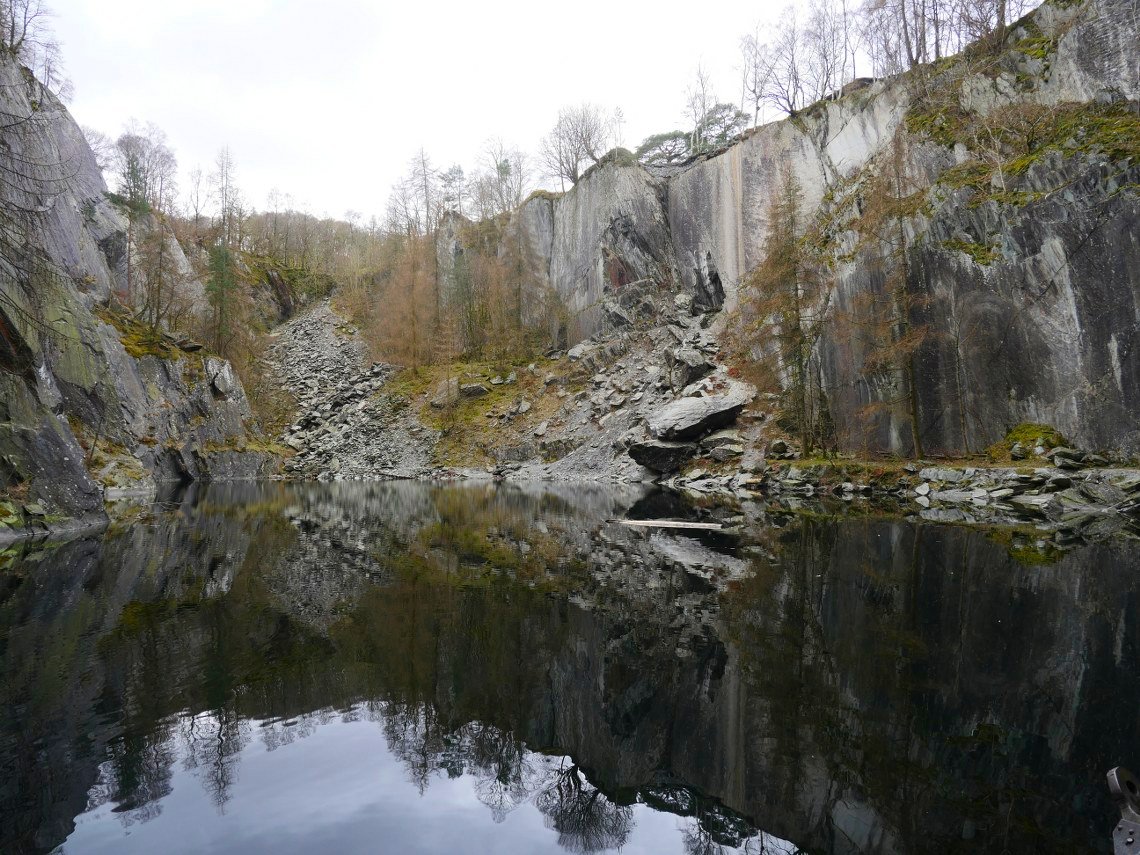
Later we would come down the scree slope at the other end of the quarry, which starts with a five foot rock step which is easier going up than down but after that is rough but passable.
But first we wanted to find the other end of the divers tunnel so after walking back up to the main track we descended again on the other side of the quarry workings where we soon found it. The water was a bit too deep for us to go along but we wanted to go down into the main quarry and find the light at the end of the tunnel that you can see here.
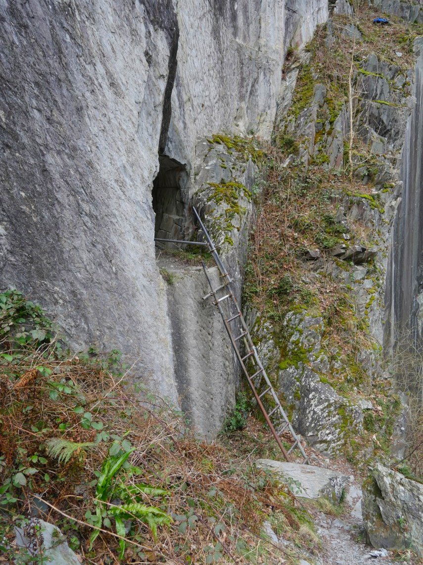
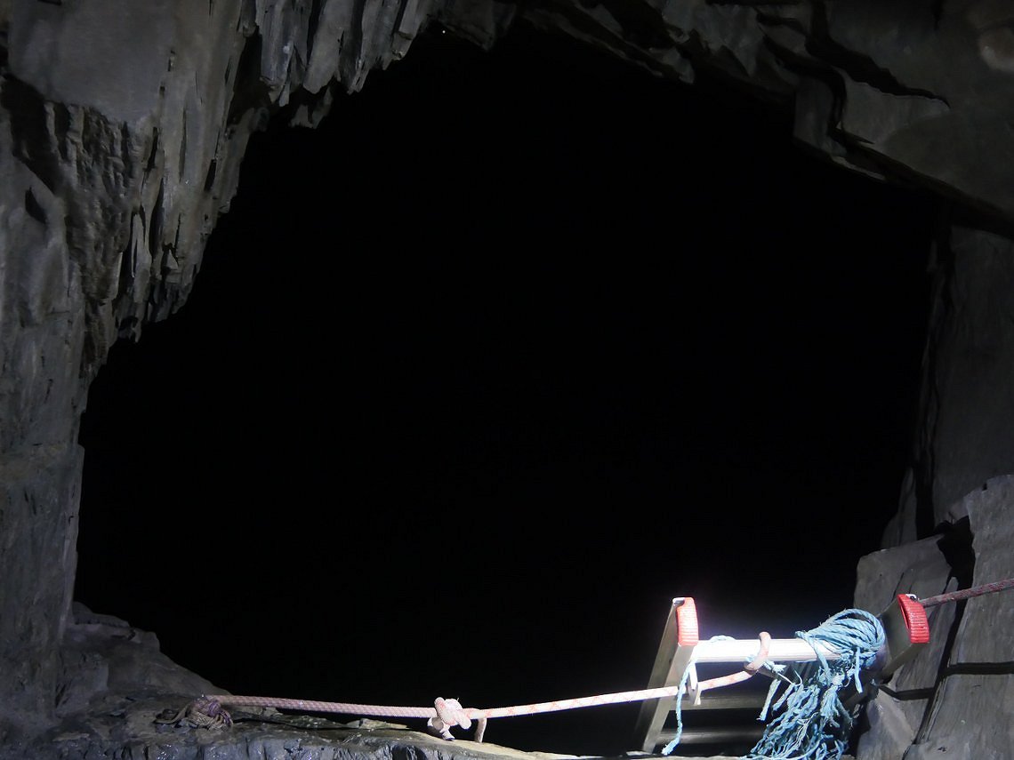
And there is the ladder.
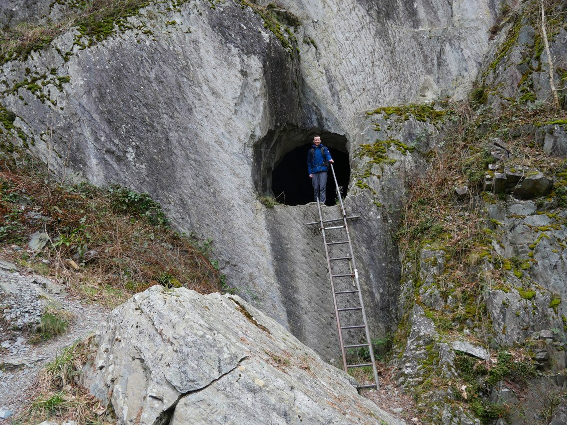
David adds scale.
The big cavern with the divers tunnel.
And looking out.
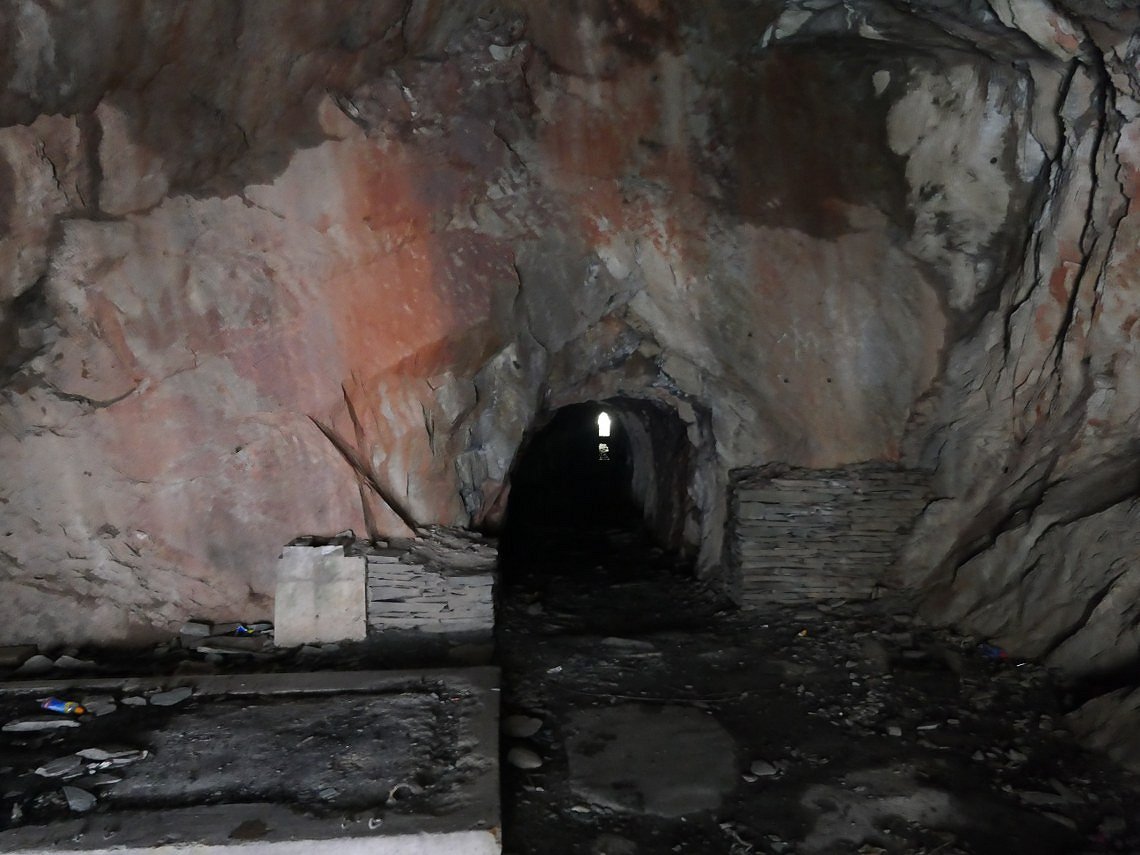
After safely climbing down the ladder we made for the mine entrance The more accessible caverns where we were before are on the right.
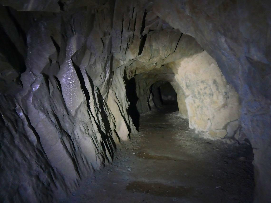
Following the mine tunnel.
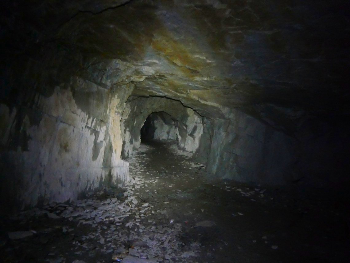
Which take a few turns ...
.....Until you come to a ladder. If this had gone down into the depths I'm not sure if we would have been brave enough to go down it but although you can't tell from this photo the ladder goes down into water.
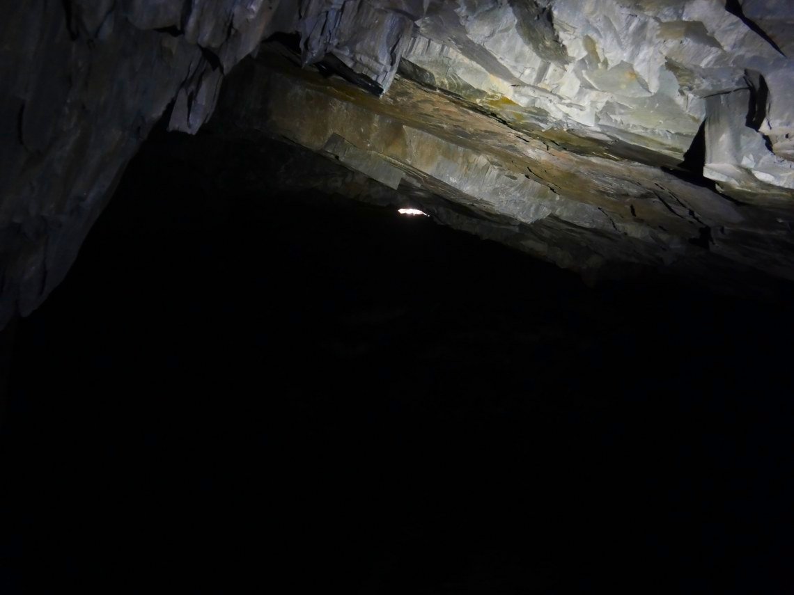
We could see daylight and wondered that if this was the flooded corner of the main cavern which we worked out was roughly in the right direction.
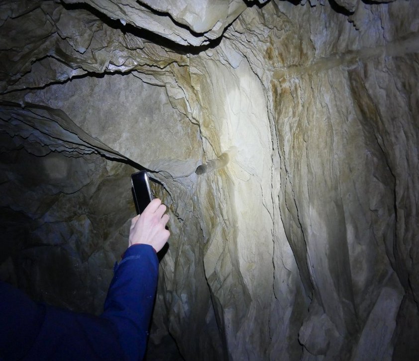
There are lots of these holes driven in the rock ( by hand ) which I think were used to hold the blasting powder to make the tunnel's.
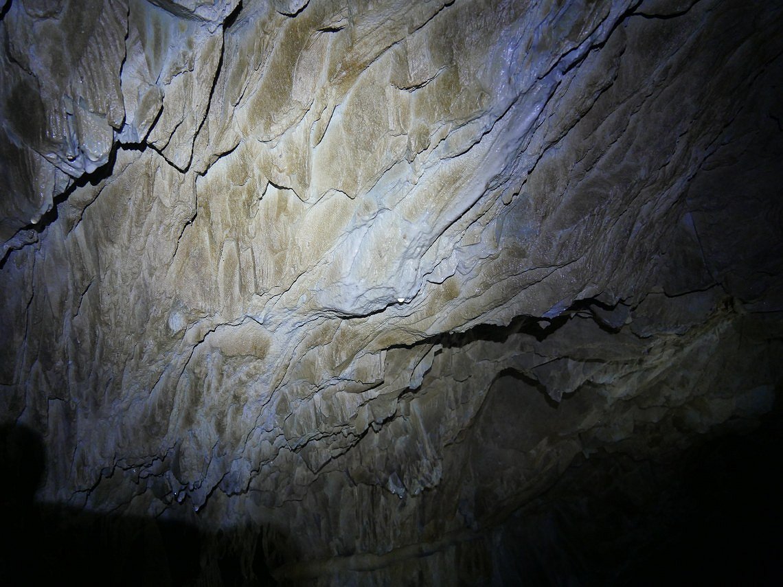
Close up of the tunnel ceiling.
Back in daylight now and looking out of the bowl.
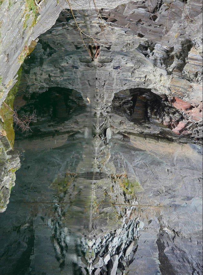
I had heard about the Hodge Close "skull" and managed to grab a picture. ( The skull is actually a photo of the main cavern reflected in the water and turned 90 degrees )
Previous walk - Green Rd to Ravenglass - Next walk - A walk from Moor Howe