WWW.KARLSWALKS.CO.UK
PICTURES AND TRIP REPORTS FROM MY WALKS IN THE ENGLISH LAKE DISTRICT
|
E-mail - karl@karlswalks.co.uk |
After a very unsettled and mainly rainy week followed by a biblical deluge all Saturday afternoon and evening I couldn't quite believe that the forecast for Sunday was blue sky and sunshine but that's just how it turned out and I had a lovely walk combining a long held wish to explore the full length of the track which runs above the eastern shore of Coniston Water and a long overdue visit to an old favourite Beacon Fell.
I originally was going to park in Coniston but on the drive up I had a change of plan and decided to start my round from the small parking space at Sunny Bank, my logic being that the final leg of my walk would be along the flat shoreline from Coniston village and the higher section on the Parkamoor track would be in the middle when I was nicely warmed up.
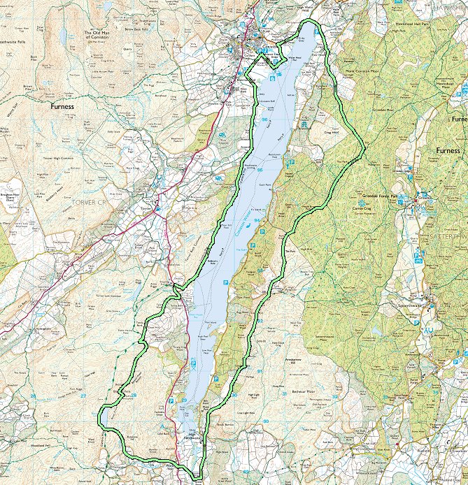
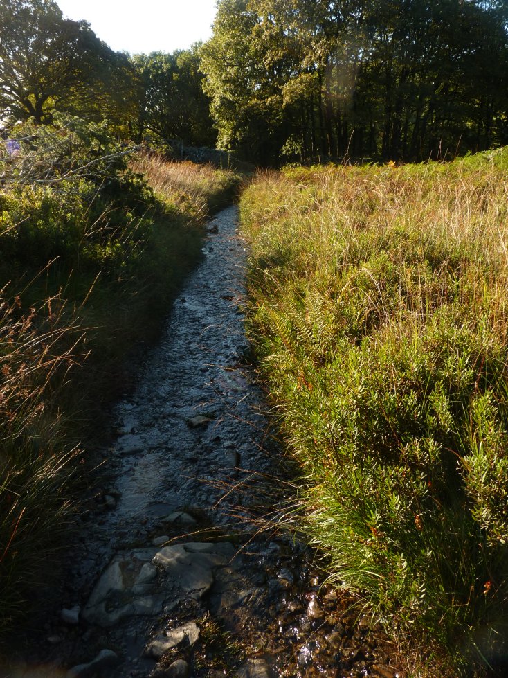
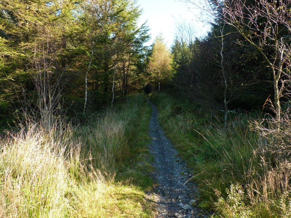
I could have followed the Cumbria Way which crosses the road at Sunny bank but I've been that way before so I walked down the road a short way to Sunny Bank Bridge where I'd seen there was a path climbing around the back of Tyson Wood. As you can see this path dosent look that well used but there was a trace to follow up the hill.
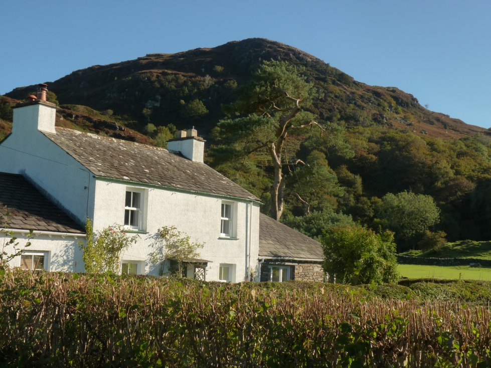
Looking over the wall Tyson Wood itself looked very nice especially with the low morning sun slanting through the trees.
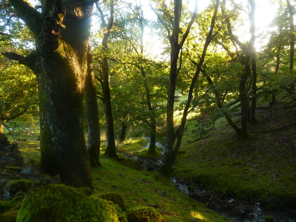
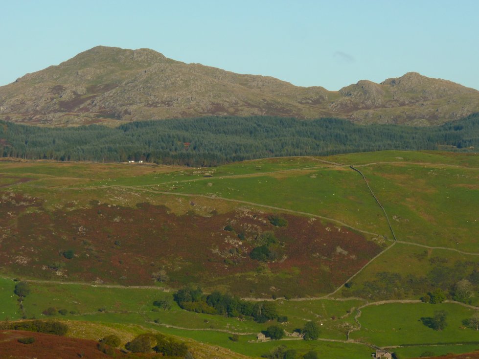
Coniston Old Man and Wetherlam come into sight as I round the top of the trees.
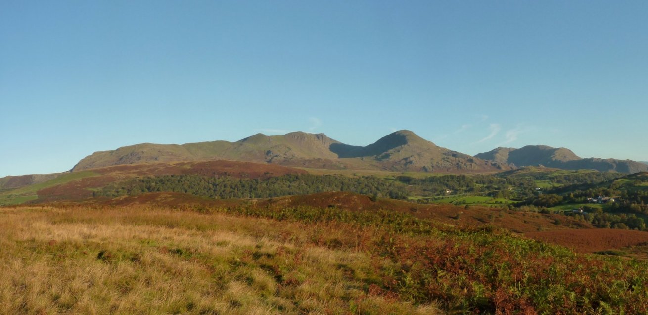
And from a bit further up the whole Coniston range is brilliantly seen.
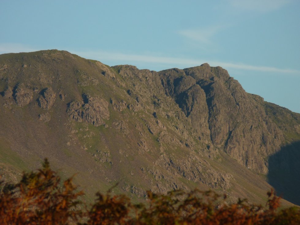
Zooming in on the cliffs of Dow Crag.
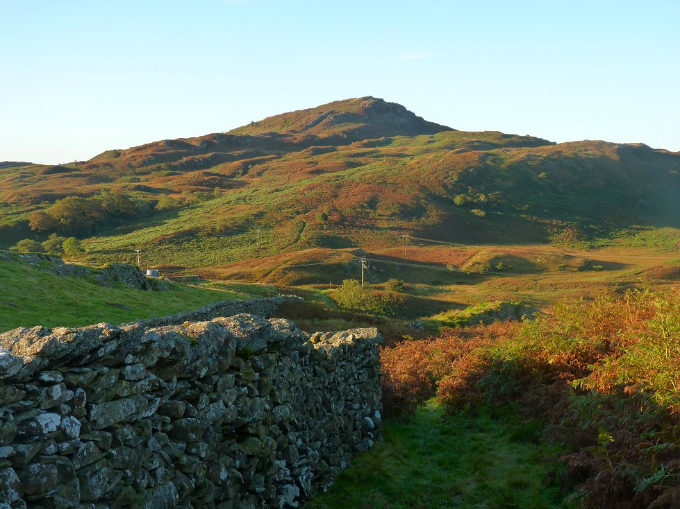
Beacon Fell ahead, The path to the top travels through the groove you can see rising left to right.
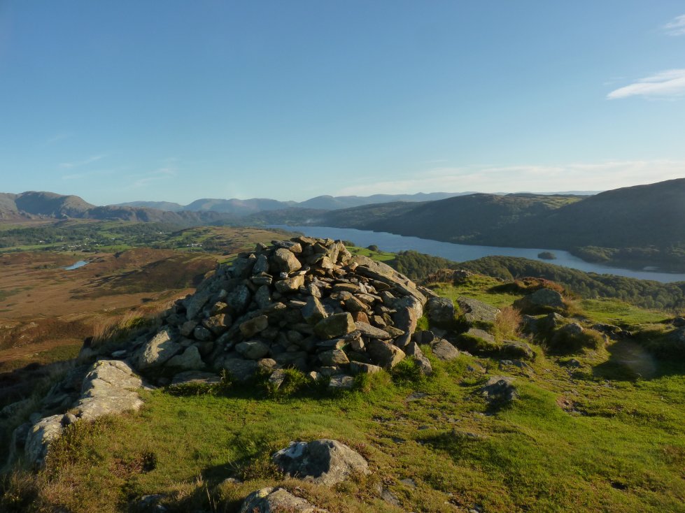
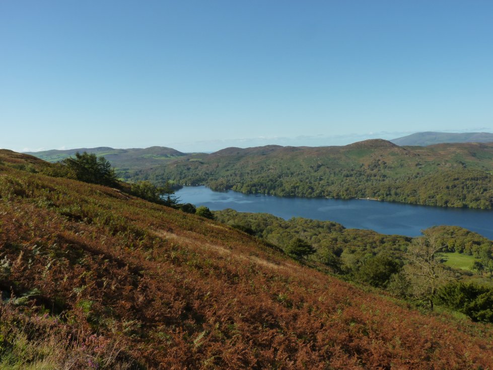
Coniston Water, the Helvellyn fells and the far eastern fells from Beacon Fell.

And in the other direction the Stainton fells and Black Combe.
Zooming in to Caw and Pikes.
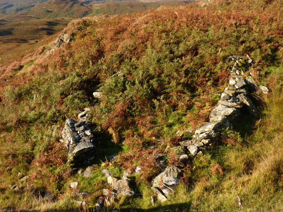
Just down from the summit of Beacon Fell is the Nutty sheepfold. To be fair I can't see anything nutty about it and it's a mystery why such a small inconsequential structure should be worth naming.
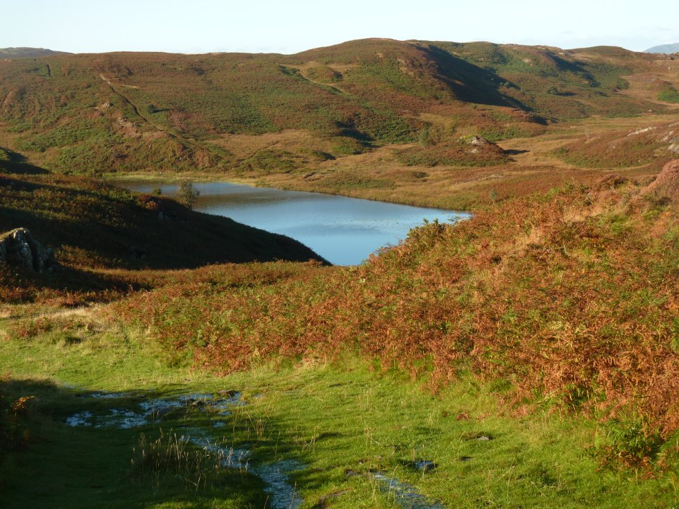
Although it can't be seen from the top a clear path takes you down to Beacon Tarn.
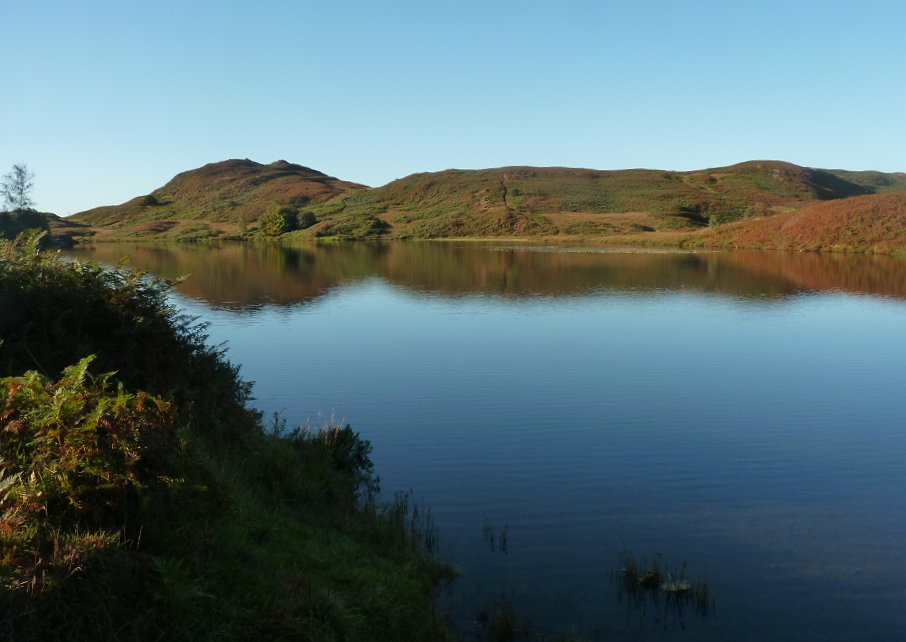
Looking south along the tarn to Wool Knott.
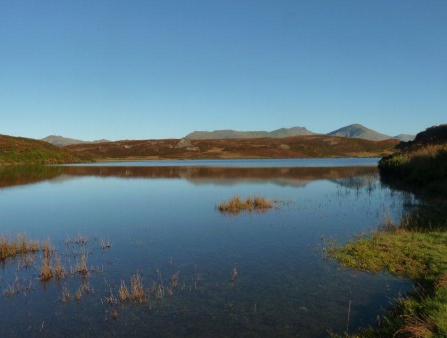
And the Coniston fells form the northern background.
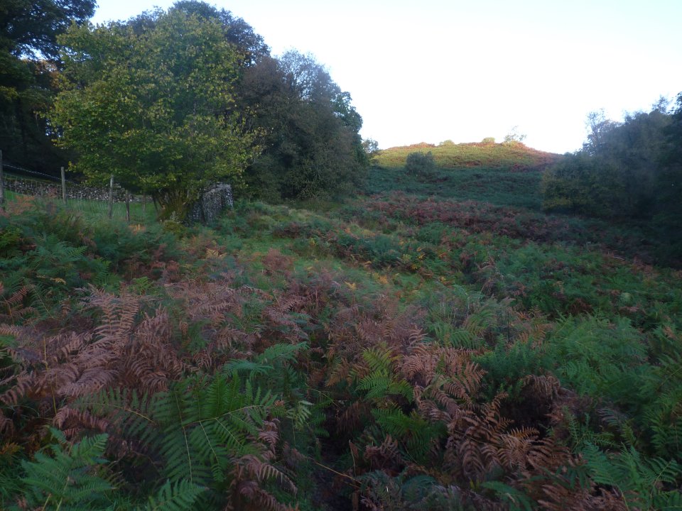
With yesterdays rain it was no surprise to find that a lot of the paths were now doubling up as streams.
I had a few minutes of road walking as I rounded the southern end of the lake.
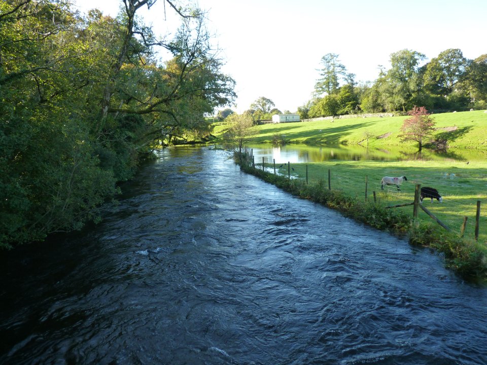
The river Crake had burst its banks just down from Bouthrey Bridge.
Brock Barrow from High Nibthwaite
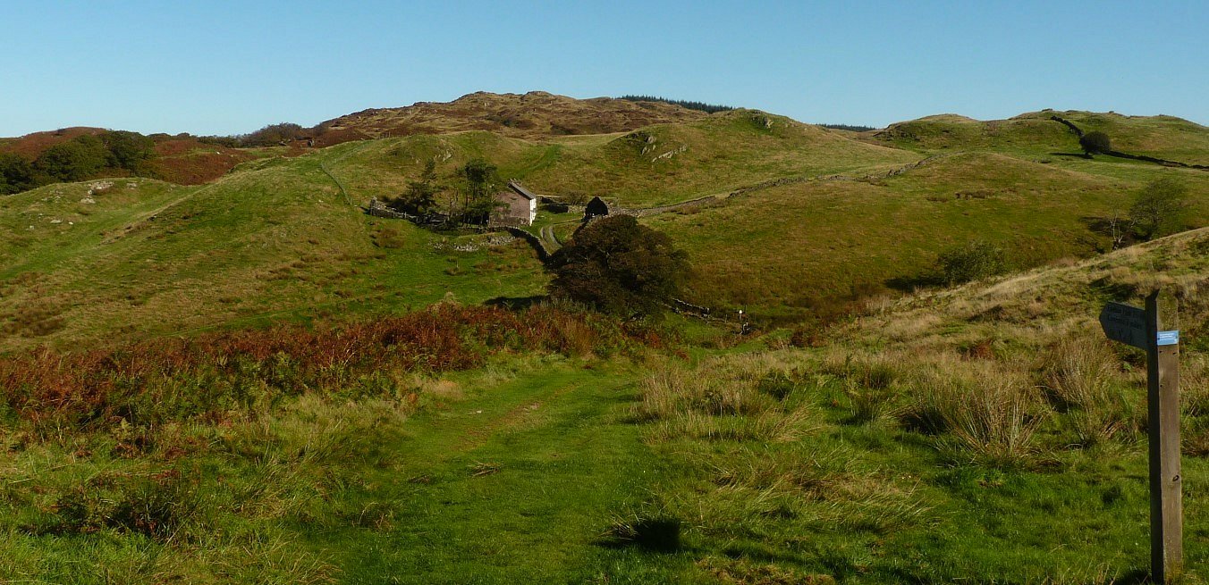
From High Nibthwaite the track climbs steadily for a couple of miles before you come to this branch at Low Parkamoor which if you are heading for Coniston you take.The signpost says it's 6 miles to Coniston which is a bit more than I would have guessed from here.
The view back to the southern end of the lake.
A closer view now of Helvellyn, Grisedale Hause, Fairfield and Hart Crag.
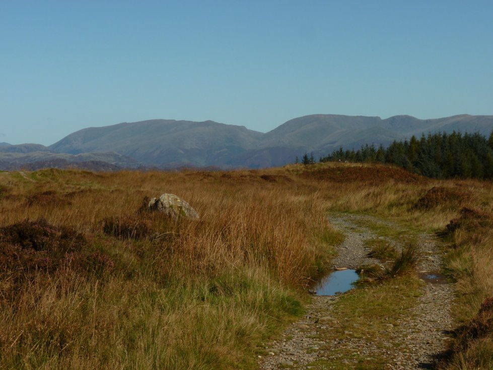
Eventually the open fell gives way to forestry.
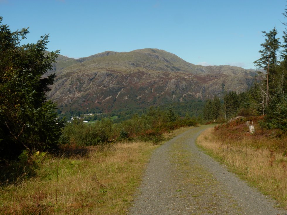
But there are a couple of breaks which allow you the view of Coniston with the Yewdale fells above.
The narrow path through the trees eventually meets the wide forest tracks which cross the Grizedale plantations.
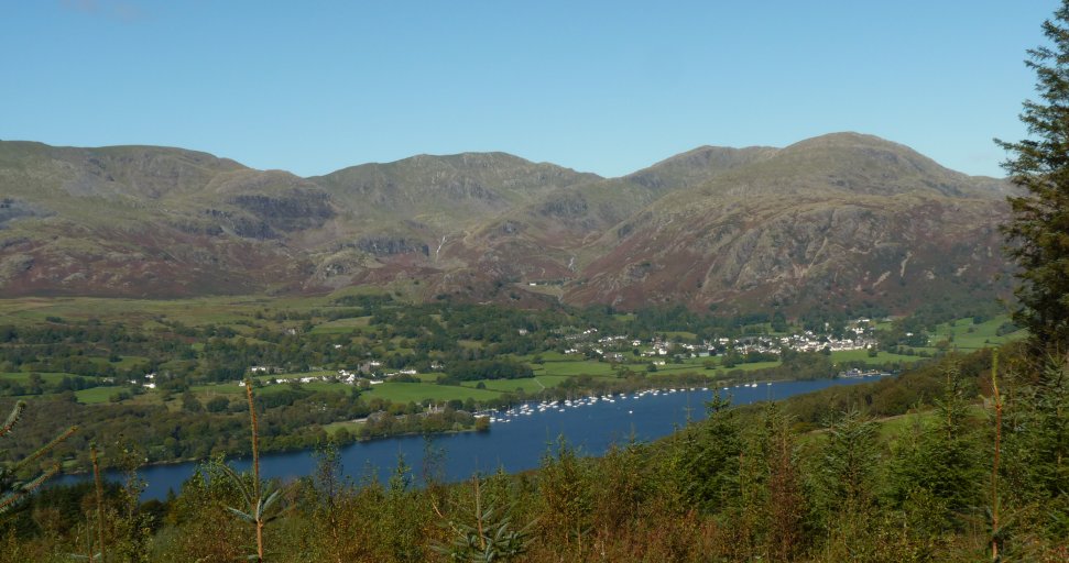
Down now to a very full Coniston Water.
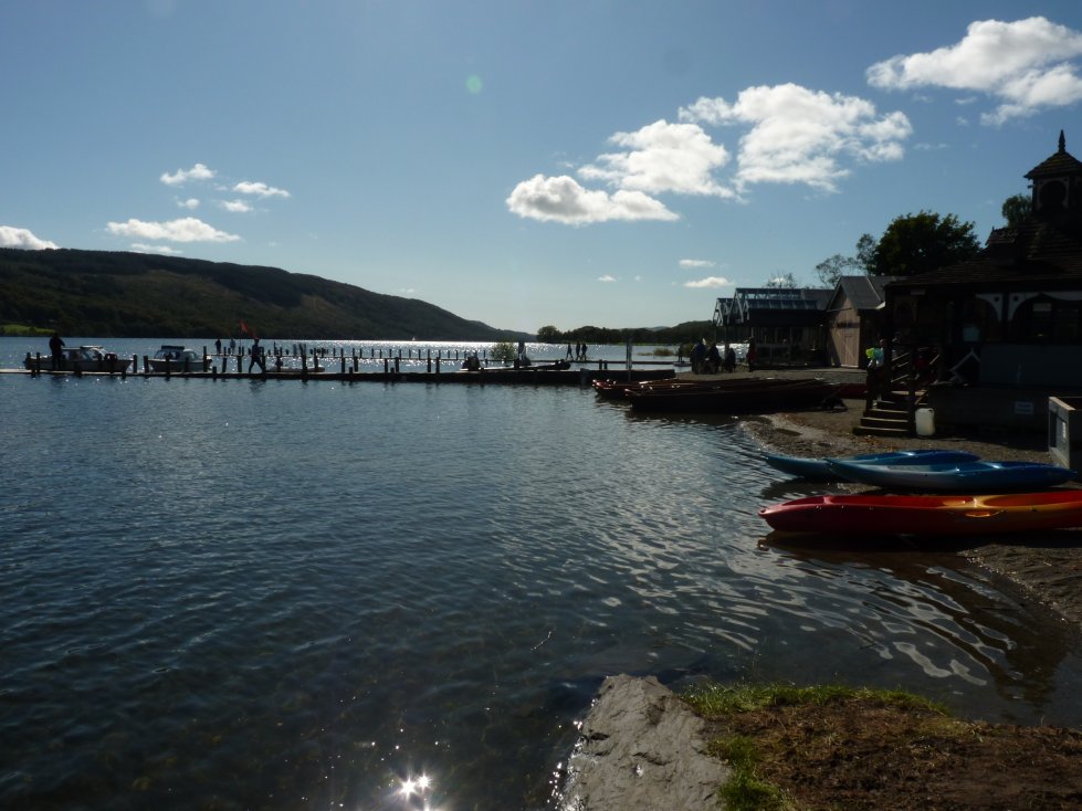
The main jetty at Waterhead. I called into the Bluebird cafe for a very refreshing ice cream.
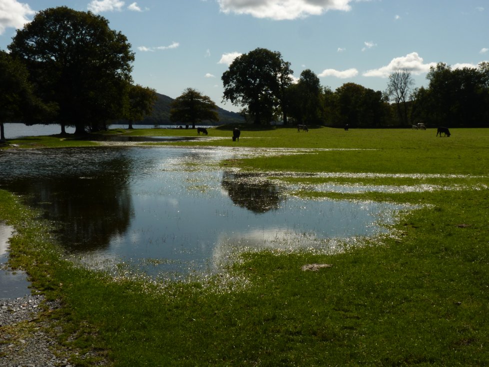
The path directly on the shore was now in the lake so sometimes I had to walk into the fields which in places were submerged..
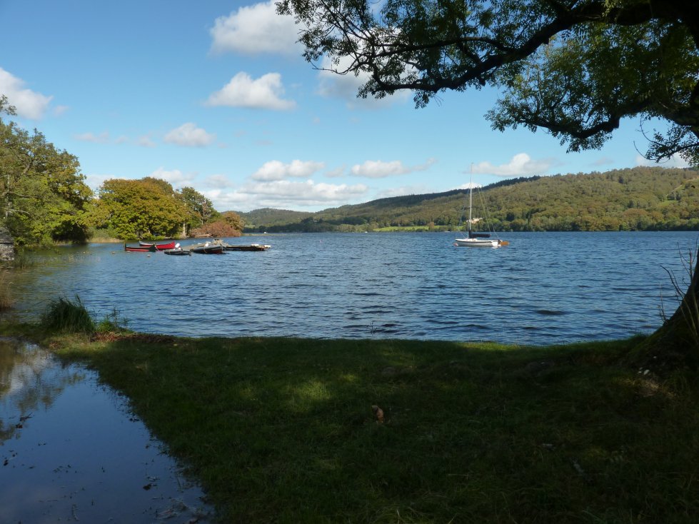
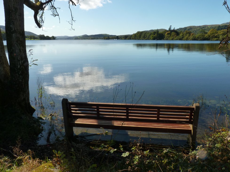
Looking back along the lake.
The shallow dip in the hills across the lake is the junction in the path at Low Parkamoor.
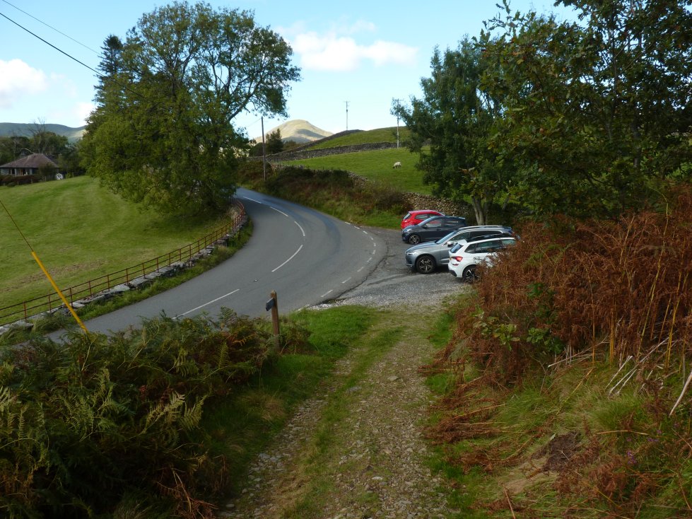
It was quite interesting that I met quite a few groups and single walkers who were on their first day of the Cumbria Way having set off from Ulverston this morning. The main topic of conversation was the change in the weather over the two days. There is no path along the shore past Sunny Bank, it climbs gently away from the shoreline to meet the road and the car parking spaces.
Previous walk -- A night in Rainsborrow Cove - Next walk - The Back O' Skidda'