WWW.KARLSWALKS.CO.UK
PICTURES AND TRIP REPORTS FROM MY WALKS IN THE ENGLISH LAKE DISTRICT
|
E-mail - karl@karlswalks.co.uk |
Since my son David has moved up to Lancaster I don't see him as much as I used to so when he told me that he was free on Saturday and would like to go for a walk in the Lakes I suggested this walk which Is a lovely round and as a bonus he had not walked any of these fells before.
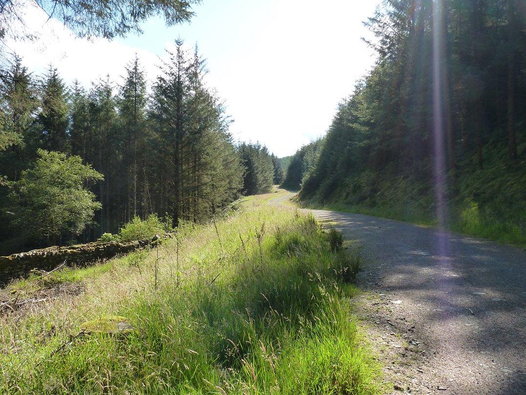
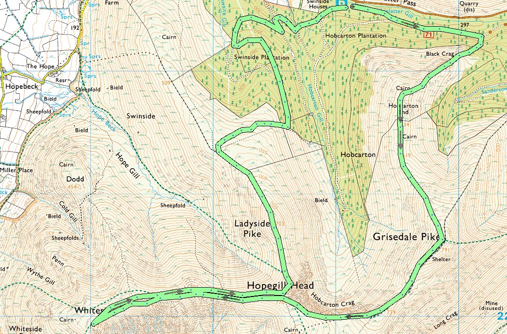
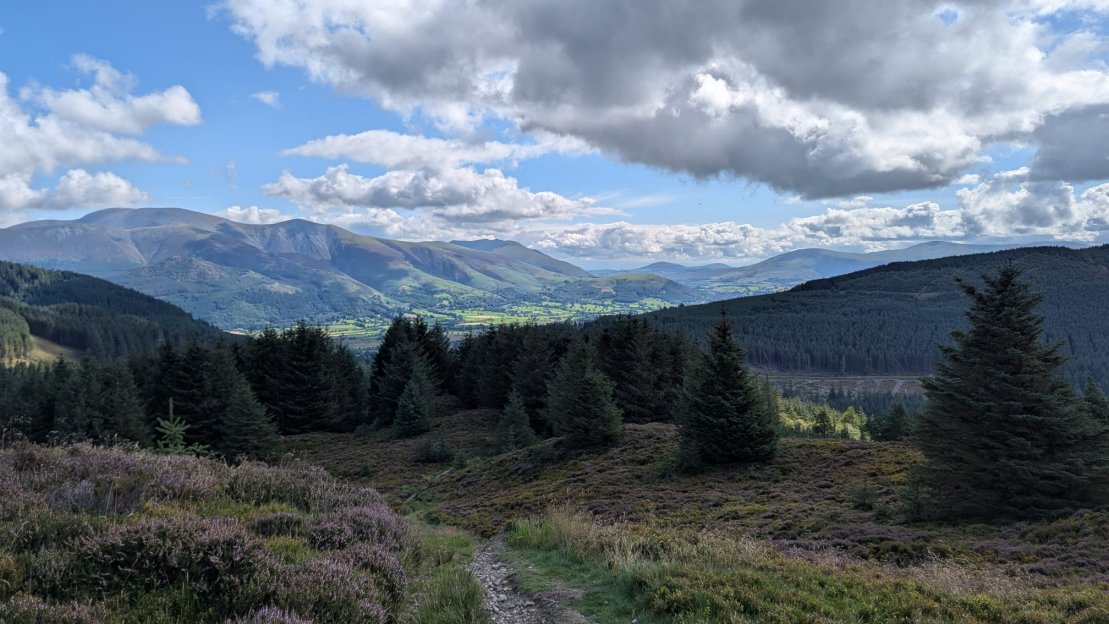
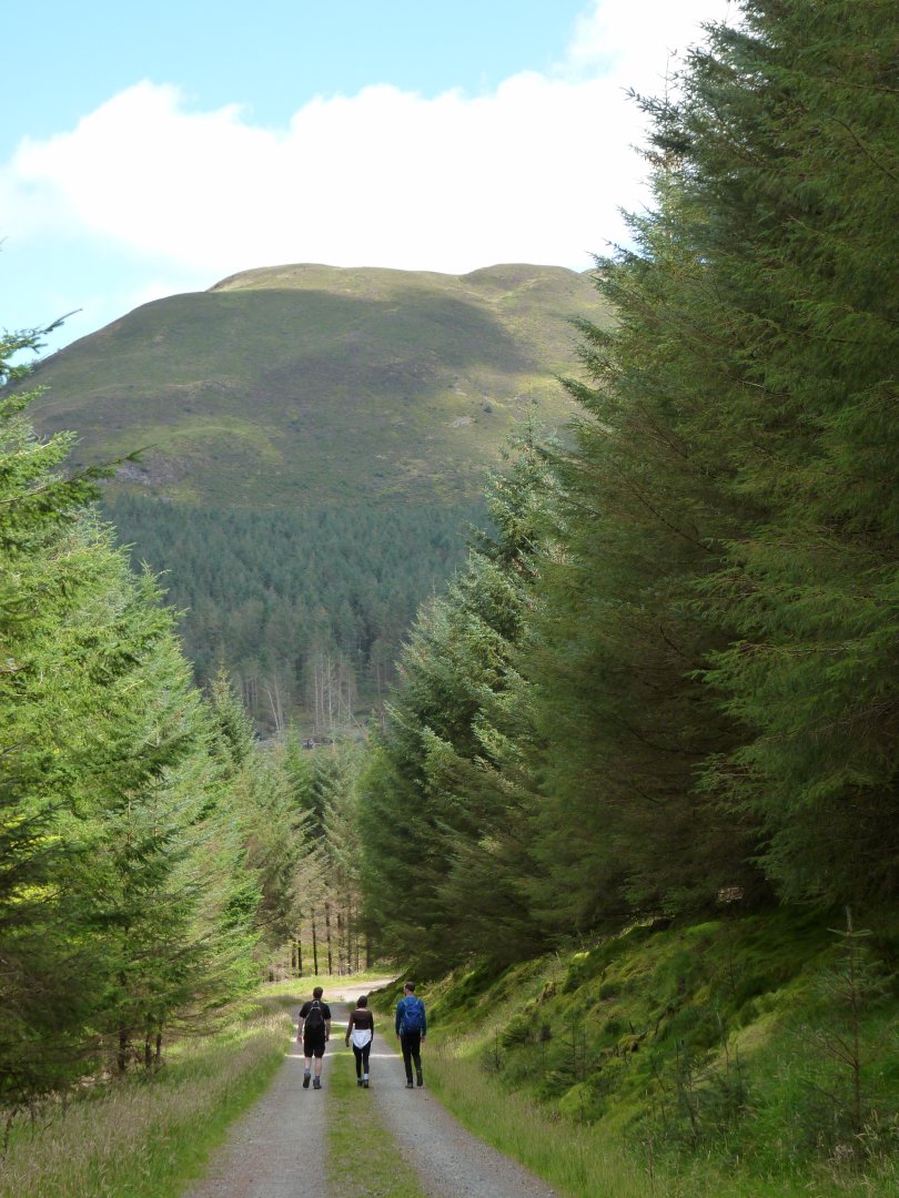
Thankfully the weather played ball and it was a lovely sunny morning when we set out along the forest track from the forestry commission car park ( free ) just over the Whinlatter Pass
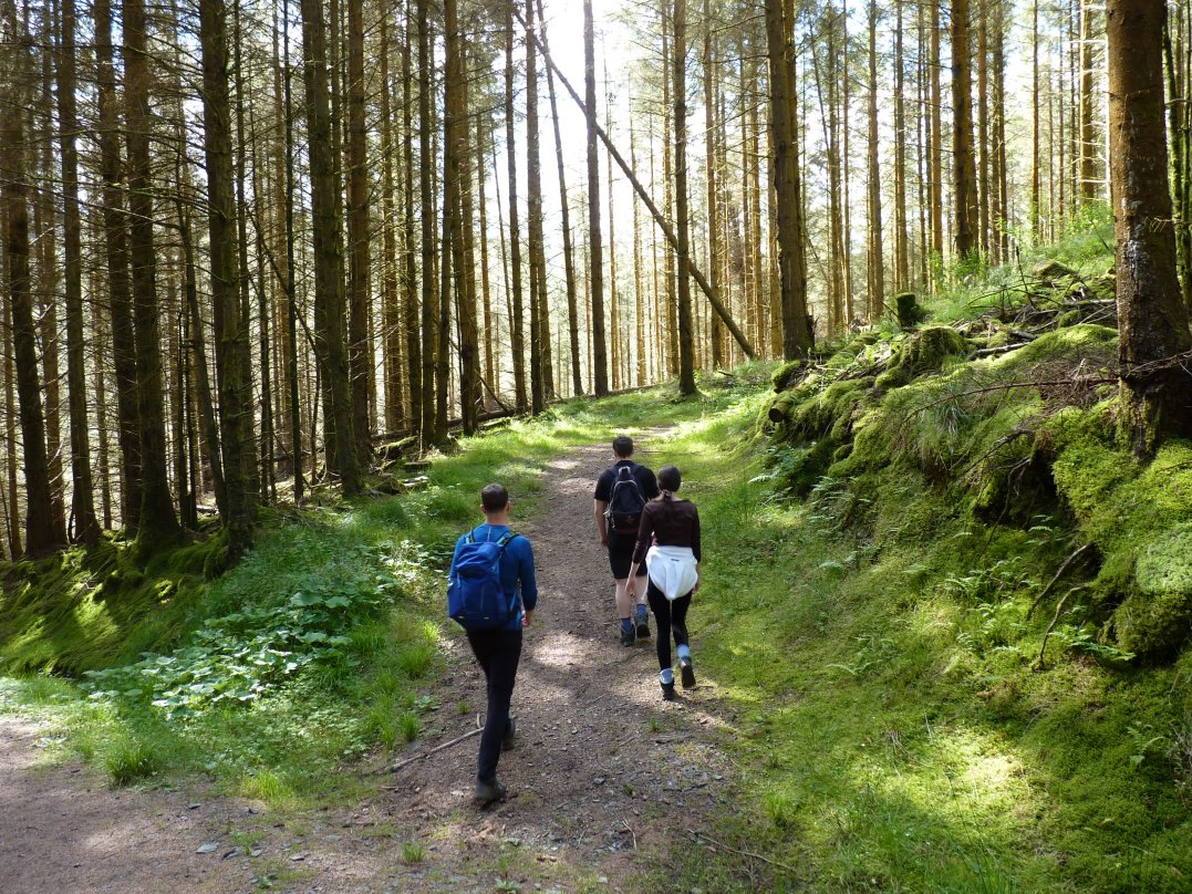
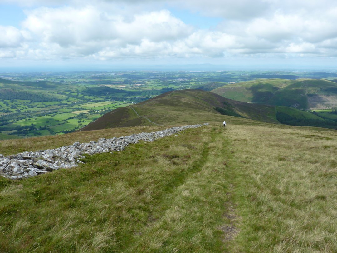
After following the track for about three quarters of a mile we took the path on the right which climbs through the trees heading for Black Crag. ( Brother James and sister Emily have joined the party )
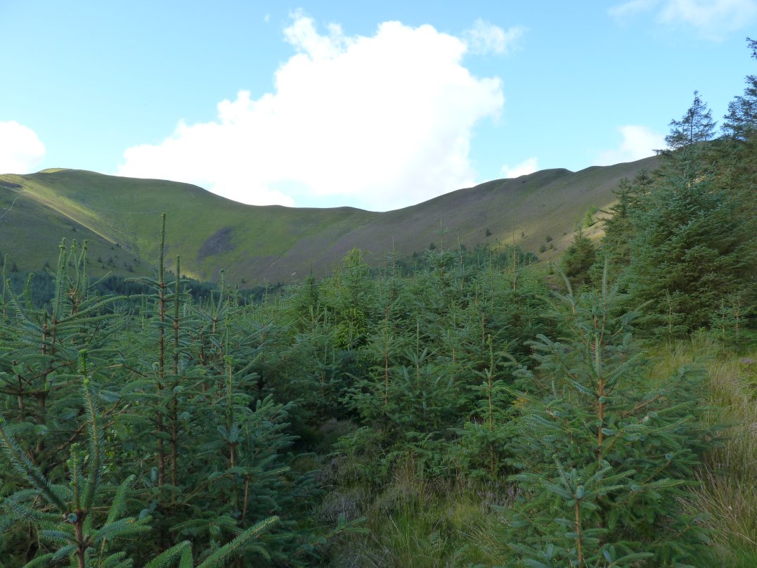
The path climbs quite steeply and you soon start to get a view of Grisedale Pike with the Hobcarton ridge running up to it..
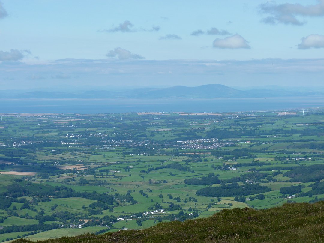
And you soon get a view back to the vale of Keswick with Skiddaw and Blencathra above to the left and the Mell Fells and Dodds to the right.
.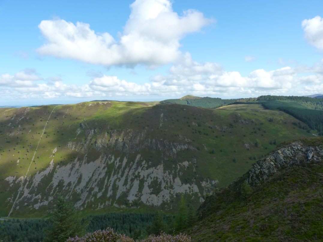
Whinlatter and Lord's Seat from Black Crag.
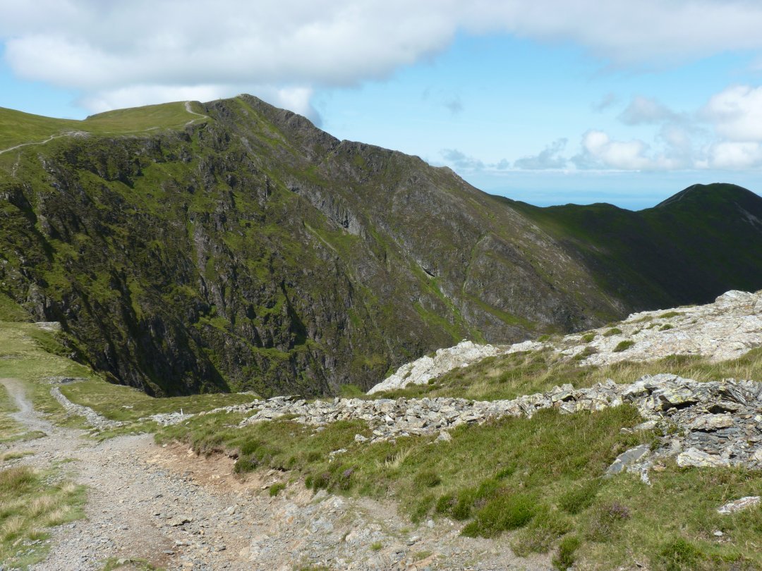
The head of the valley with Hobcarton Crag and Hopegill Head above. The green top just visible is sand Hill and the dark fell in the distance is Grasmoor.
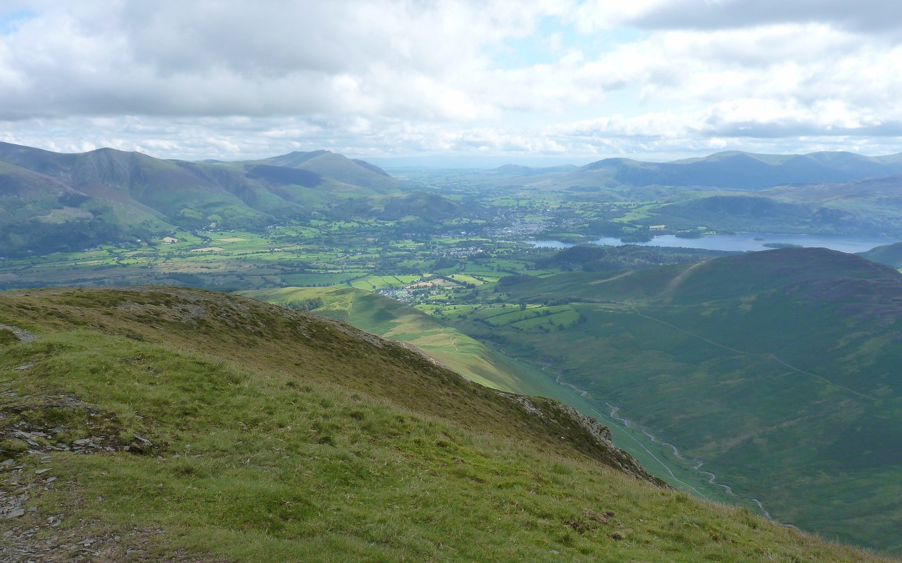
On to the top of Grisedale Pike from where there is a more extensive view over Keswick with Derwentwater now visible.
Looking across to the roller coaster top of Whiteside.
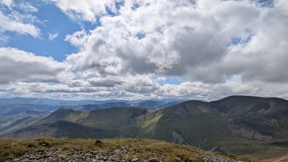
Despite the blue sky and fluffy white clouds it was now quite chilly in the breeze but the cool air did mean super long range views.
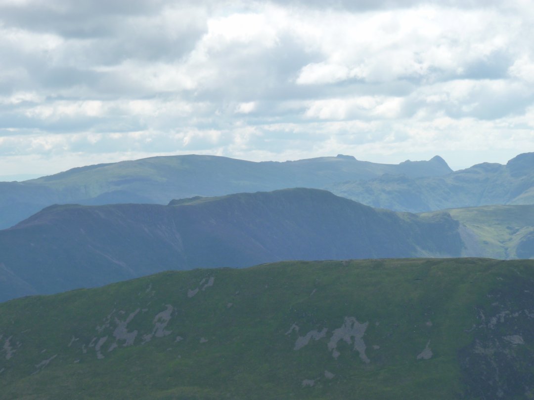
Pike of Stickle is as usual very well seen.
As is Catstyecam.
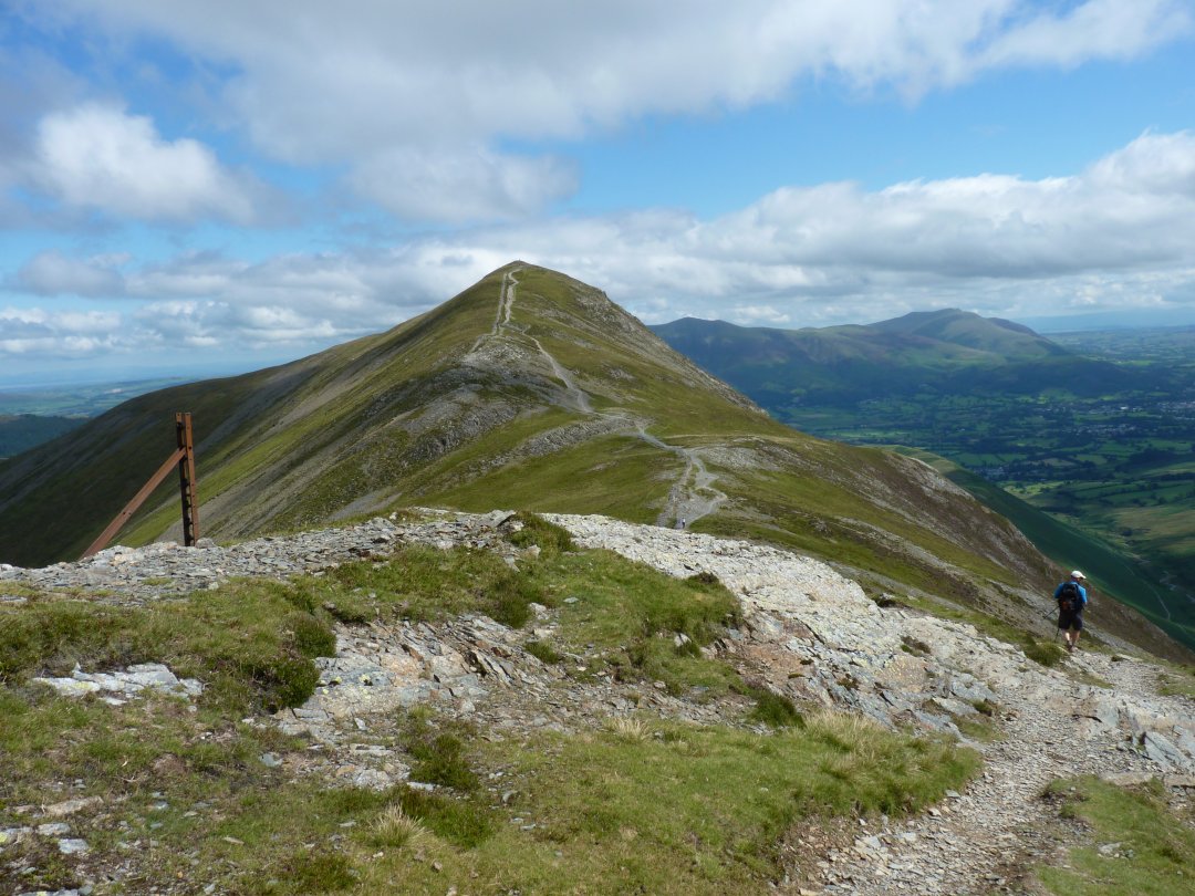
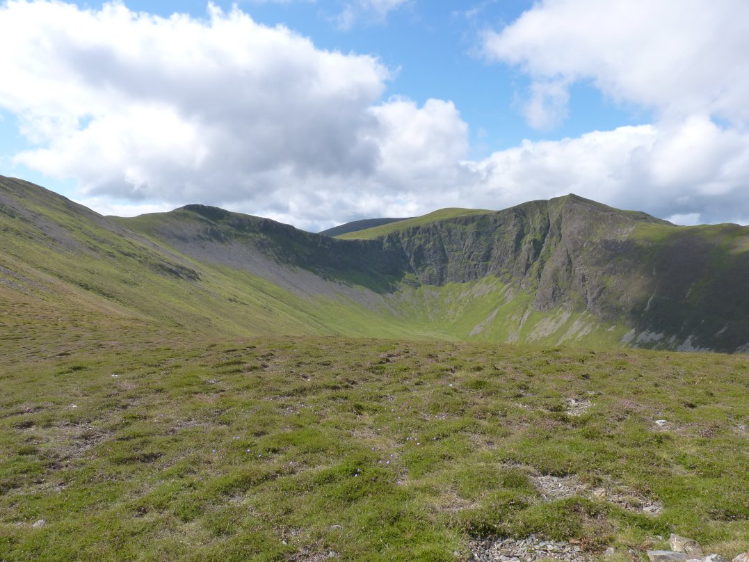
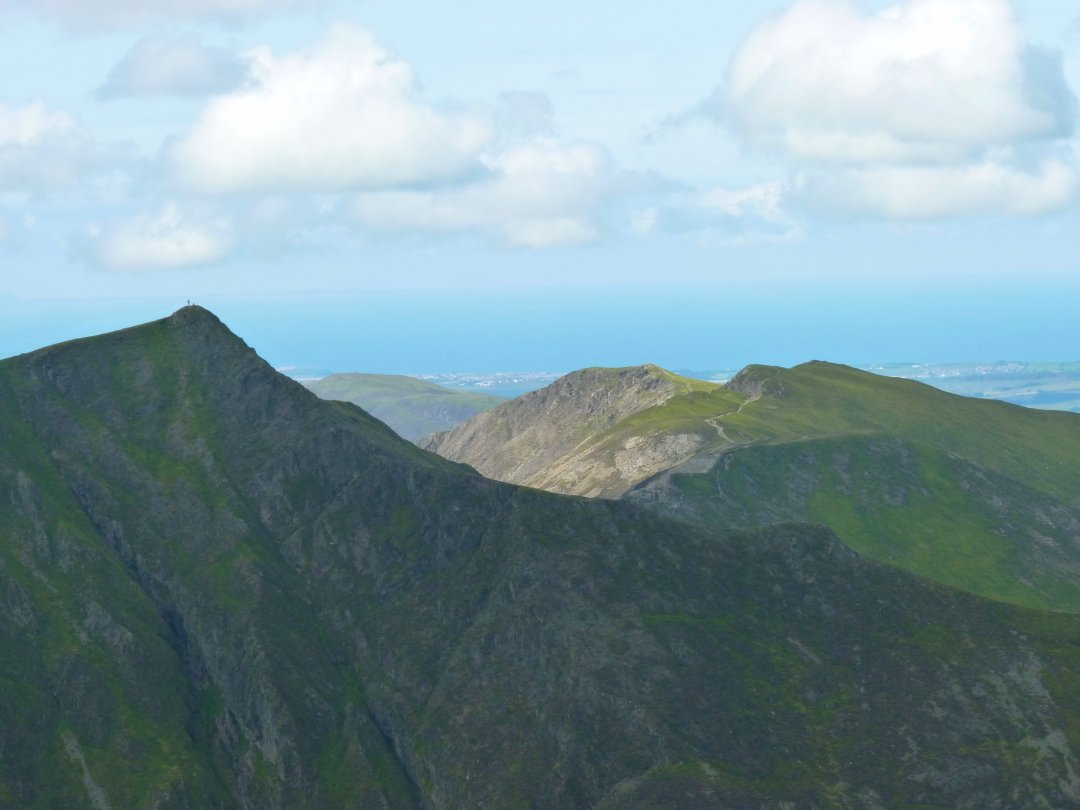
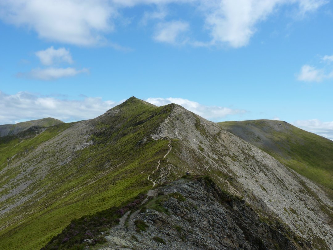
Grisedale Pike seen from the climb to Hobcarton Crag.
And the steep side of Hopegill Head seen from the col between the two.
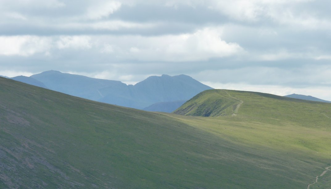
Scafell Pike and Scafell come into view.
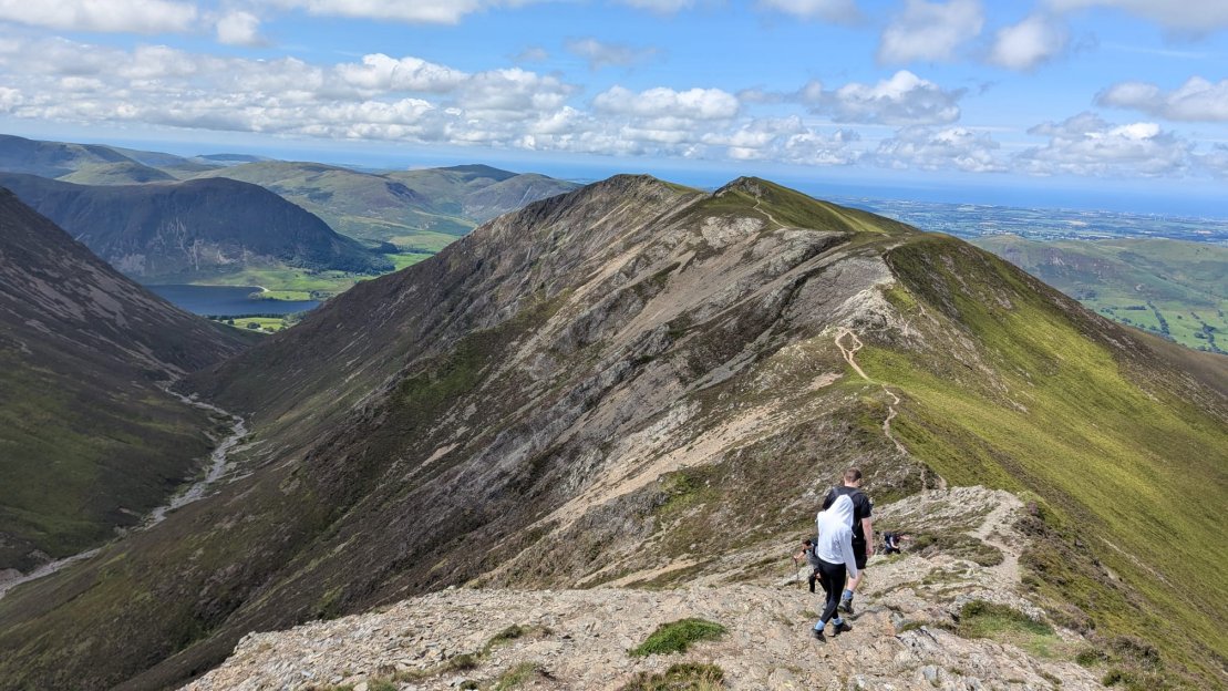
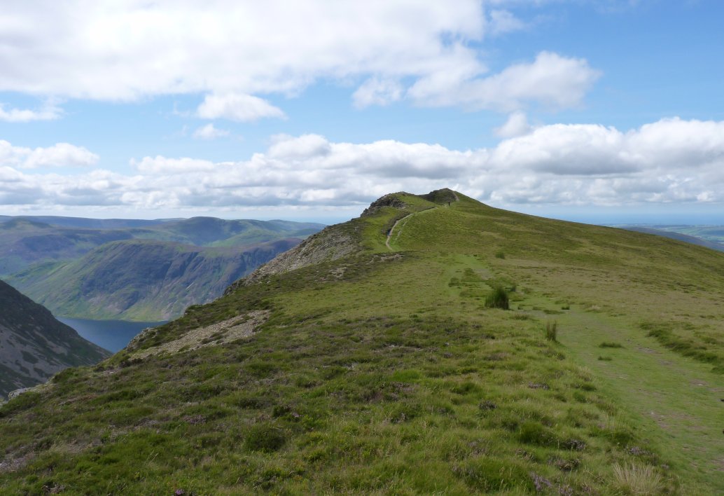
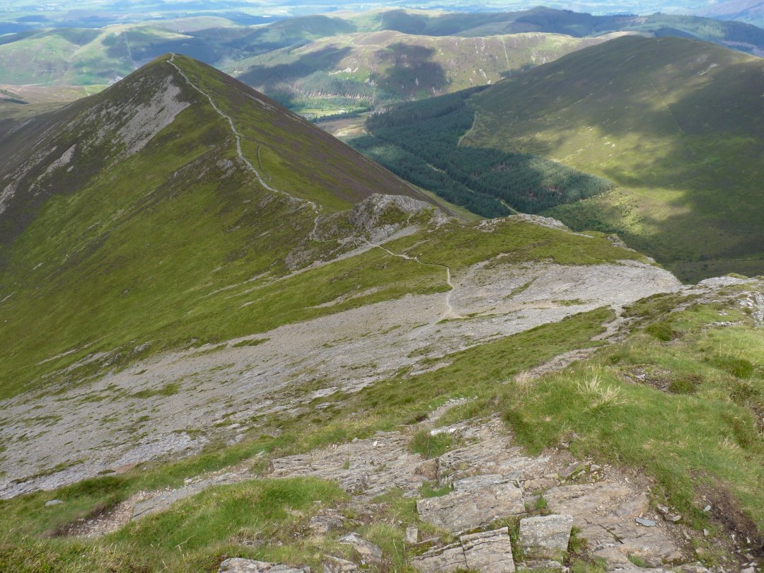
The walk along the various tops of Whiteside is always enjoyable and as we coming back this way we get twice the fun.
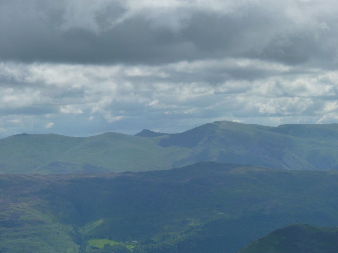
Criffel across the Solway Firth is well seen today
Walking down from the highest point of Whiteside to the Wainwright top.
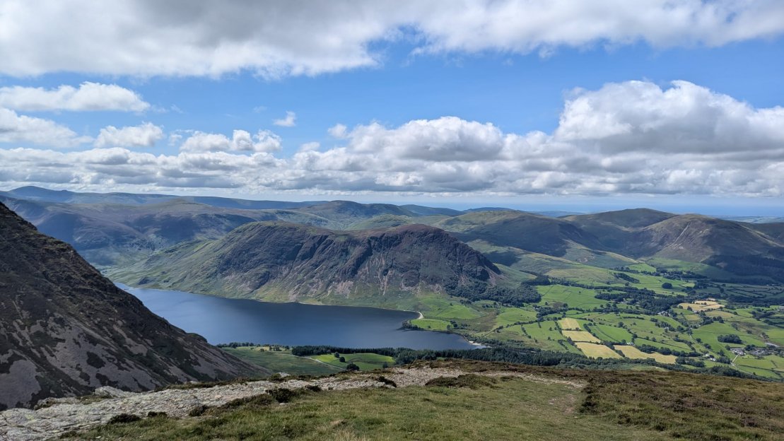
Which has a lovely view down to Crummock Water, Mellbreak and the Loweswater fells.
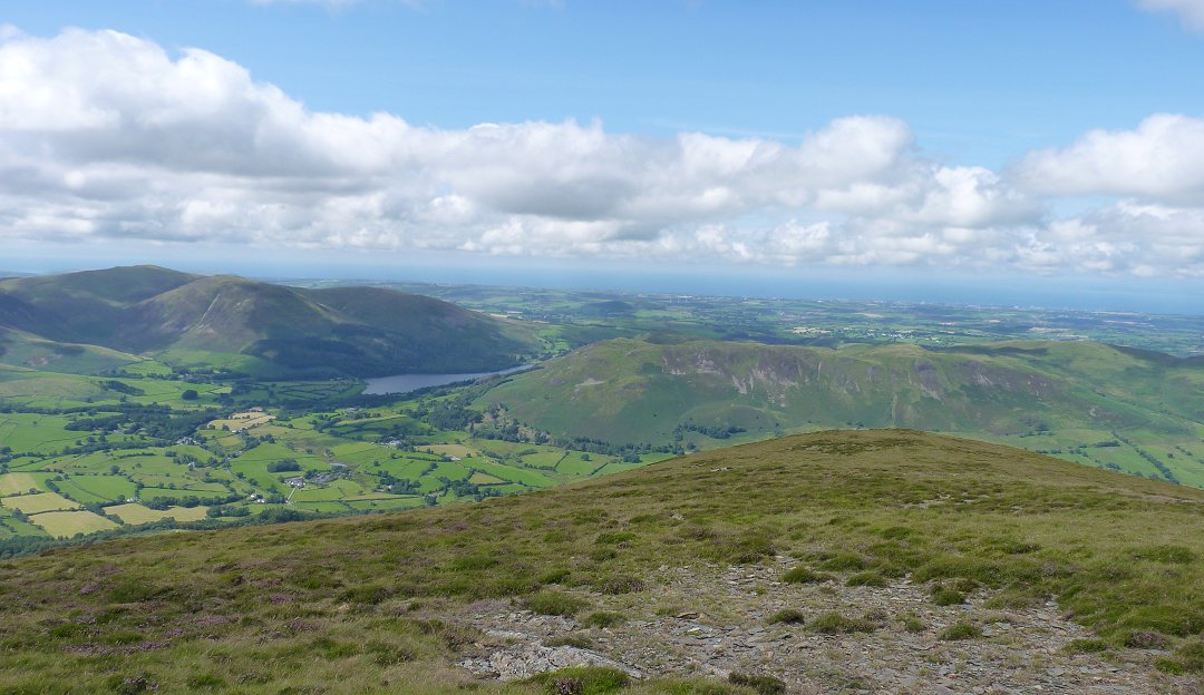
And a bit further round to the north is Loweswater and the Blake Fell group. On this side of Loweswater are Low Fell,, Darling Fell and Fellbarrow.
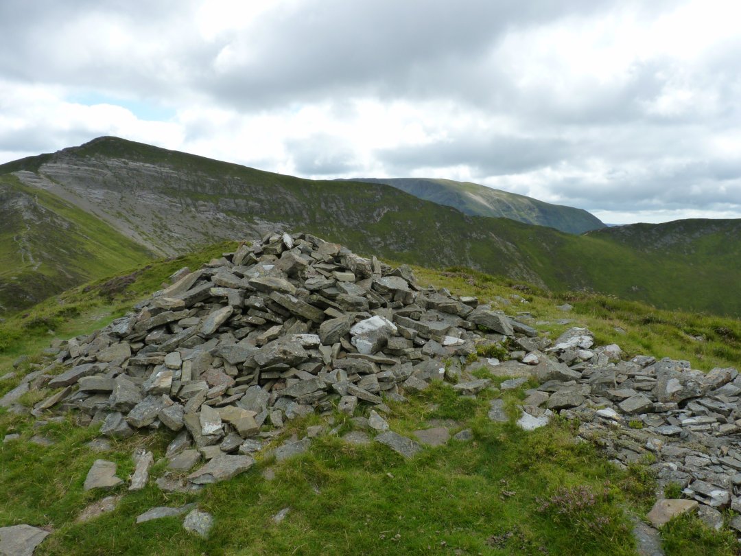
Back we go to Hopegill Head.
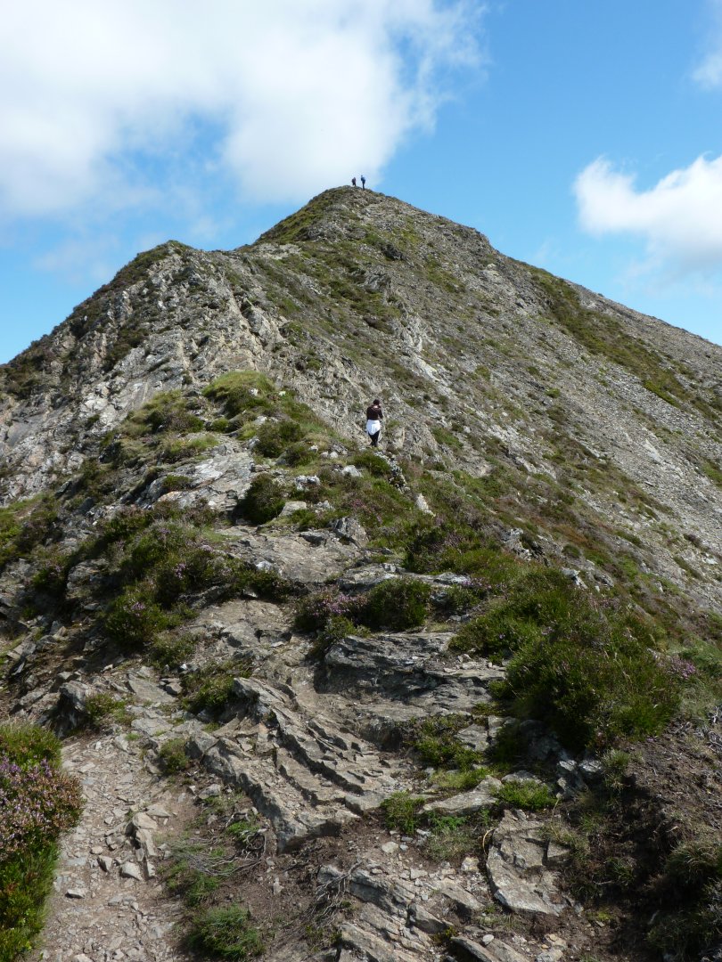
The final rocky climb to the top.
It was now down again over the tricky steps which when dry are quite grippy and if taken with care are no problem but can be a whole different proposition when wet and/or icy.
Looking back to Hopegill Head from Ladyside Pike.
The last couple of miles had been quite rocky underfoot so it was nice to feel this soft grass as we dropped down towards Swinside from Ladyside Pike.
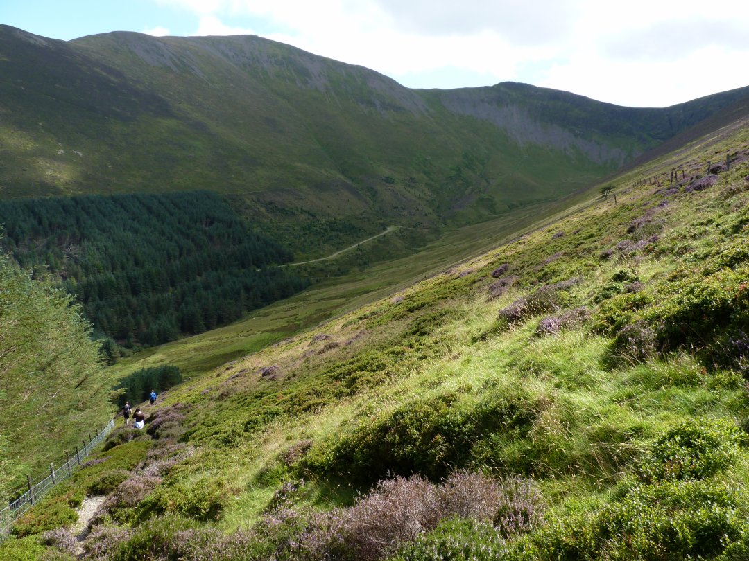
Rather than follow the ridgeline all the way down to the road which would have meant an uphill walk back to the car we followed a path which lead us steeply down towards the Swinside plantation.
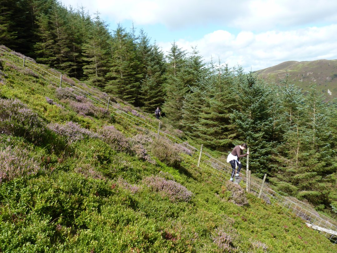
The path goes down to the valley bottom but about half way down we spied this stile and a small break in the trees which we though we'd explore.
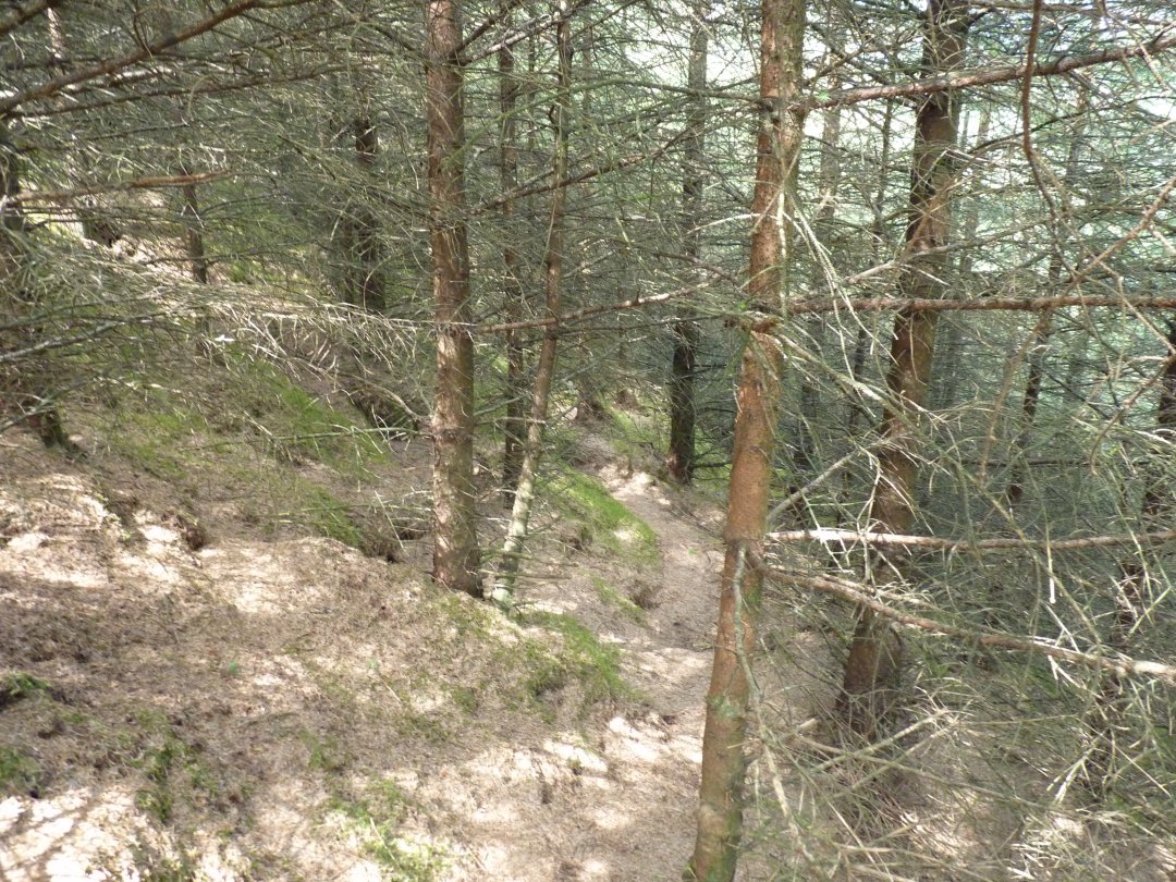
There was a very narrow path through the trees. The camera shows this a lot brighter than it was it was quite dark and you had to be careful that you didn't take your eye out on one of the small branches.
Fortunately the path was only about 100yrd long and we came out on to a forest track which we followed back in the direction of the car. Whinlatter is the fell above us.
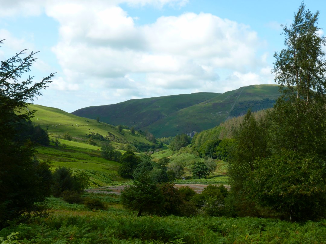
Just before we reached the car park there was a nice view through the trees of the end of the Swinside ridge and the low ground around Blaze Beck. Kirk Fell ( Lorton ) is the hill above.
Previous walk - The Scafell group - Next walk - A night in Rainsborrow Cove