WWW.KARLSWALKS.CO.UK
PICTURES AND TRIP REPORTS FROM MY WALKS IN THE ENGLISH LAKE DISTRICT
|
E-mail - karl@karlswalks.co.uk |
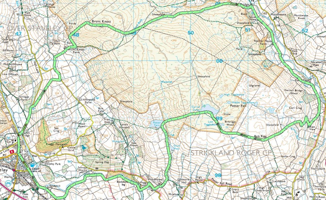
Another sunny blue sky day for a walk over the hill from Staveley to the lovely Longsleddale valley.
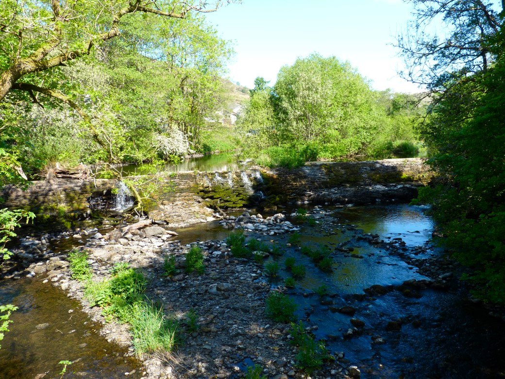
I can't honestly remember when it last rained properly and I've never seen such a trickle coming over the weir in Staveley.
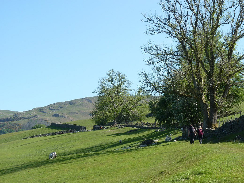
Robert and Amy kept me company today and here we have just climbed over the very tall ladder stile on Hall Lane and are heading up through the fields to Brunt Knott farm.

Getting a view over to the Ill Bell ridge and High Street on the way.
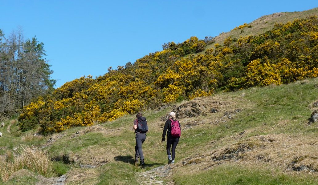
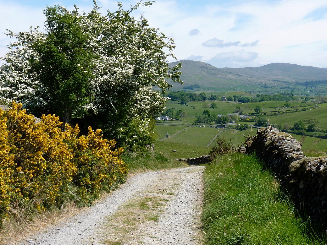
We took the same route as I did in January but the weather wasn't as warm then and the gorse not as colourful.
.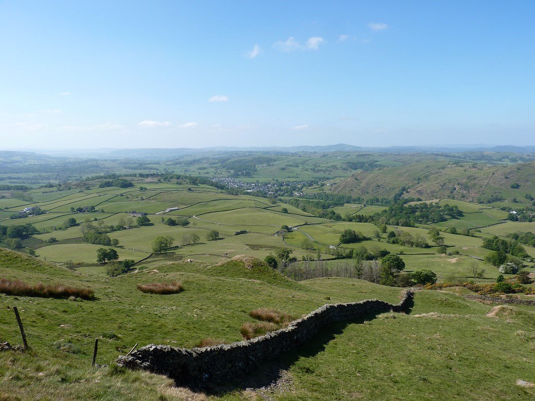
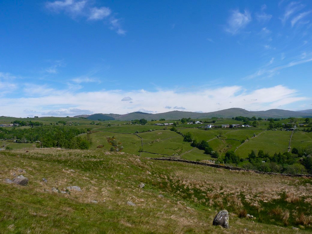
Looking down to the low rolling countryside around Windermere from the climb by the wall to Brunt Knott. It was about here that I realised that I'd lost my phone so Robert kindly volunteered to go back to the bottom of the hill where he found it on a wall where I'd left it when I was removing a layer.
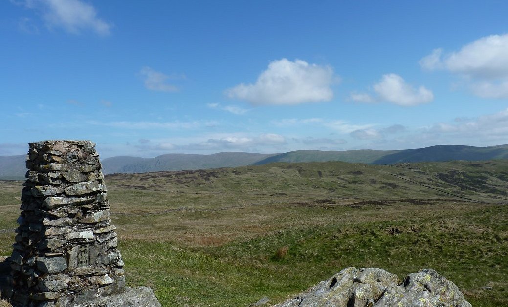
Brunt Knott trig point and in the background are the fells around the head of and to the east of Longsleddale
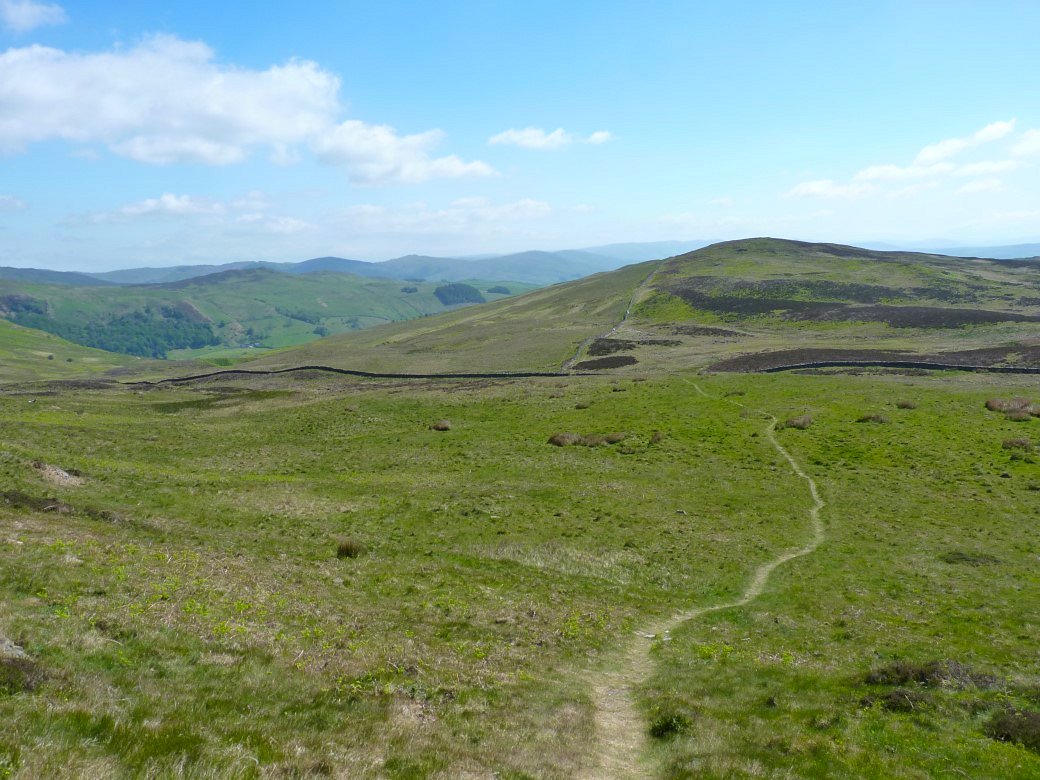
Heading down now following a clear path leading to the wall in the distance. Normally the ground around the wall is very wet but today it was bone dry.
As we descend towards Longsleddale Whiteside Pike on the right and Todd Fell come into view.
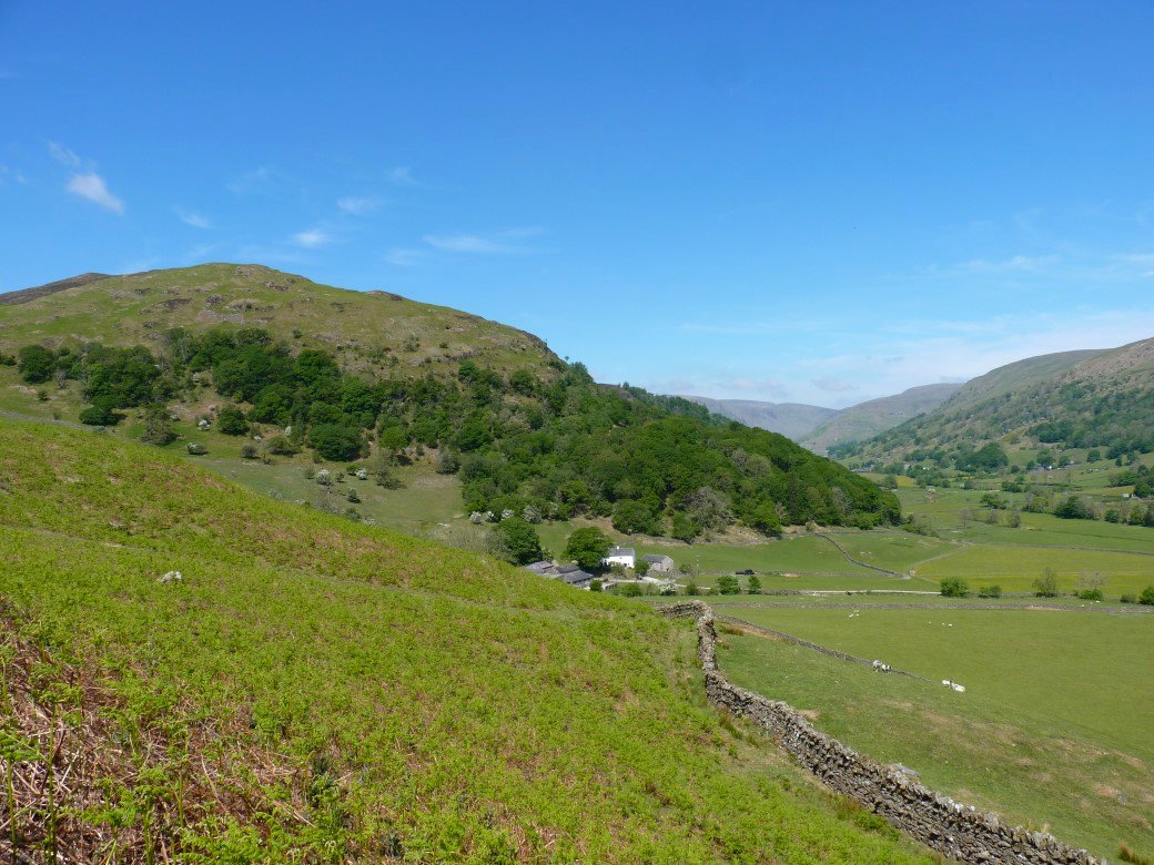
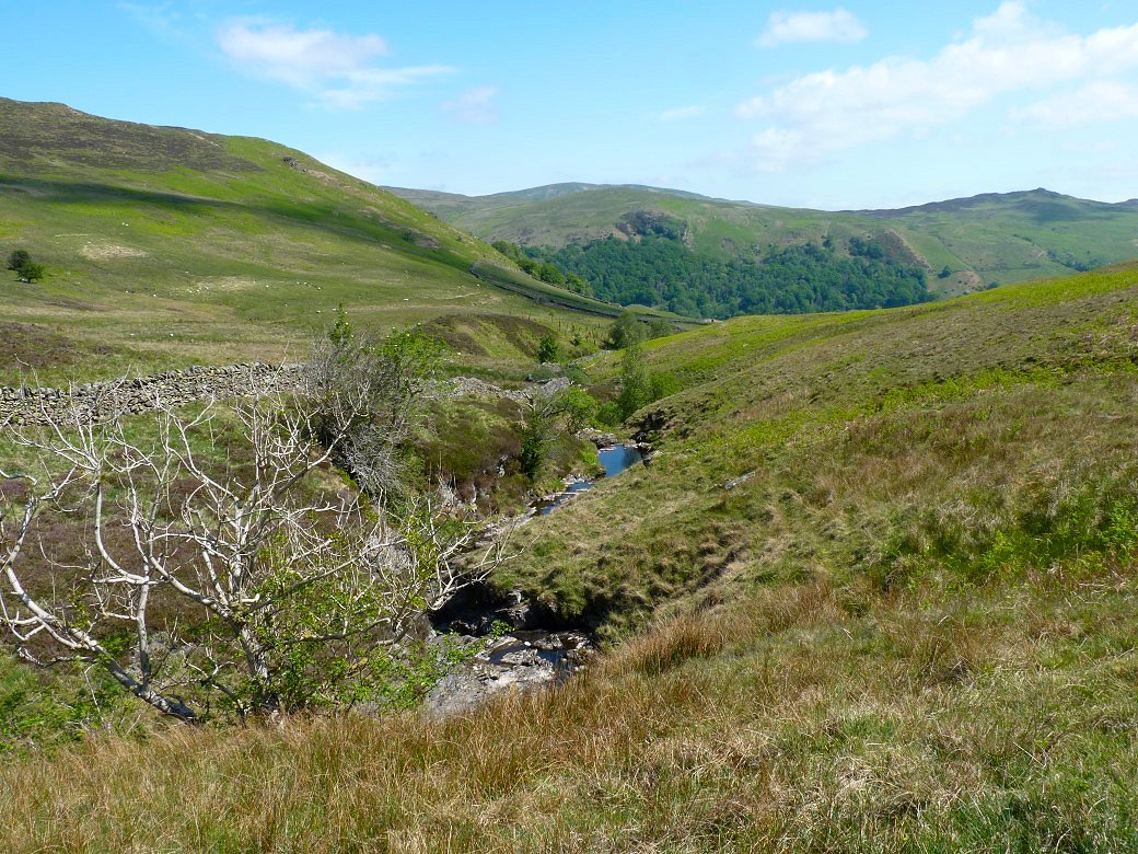
The impressive Dockernook Crag dominates the view along the valley.
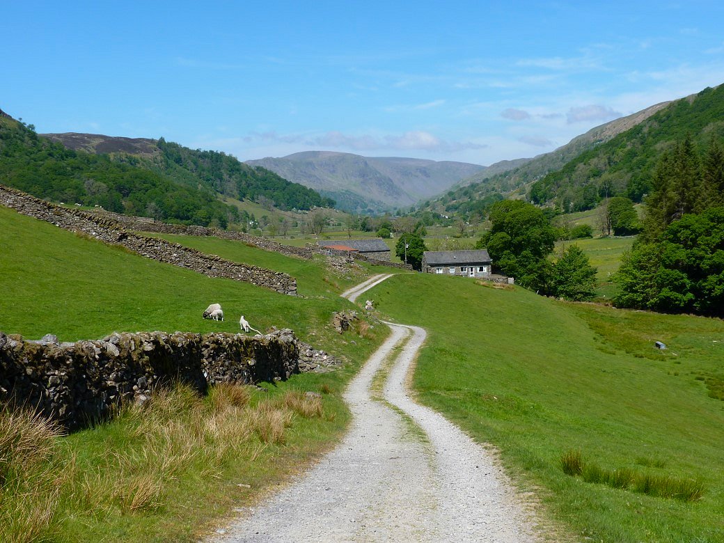
After descending to and passing through Bridge End we do get a view all along to Kentmere Pike and Harter Fell. The sun was really warm now and it was so nice just ambling along on a good path.
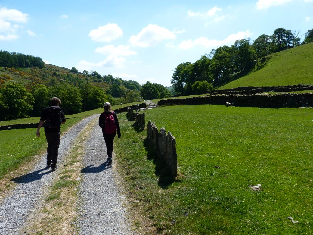
Passing a section of old stone slab fence.
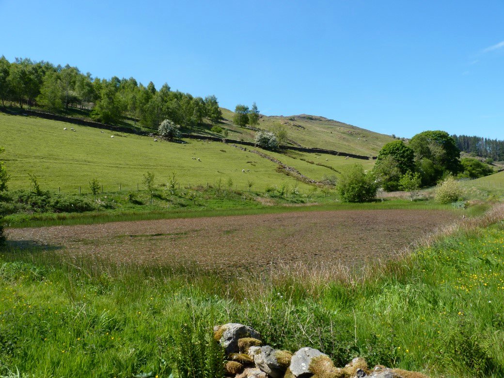
I'd seen on the map that we would be passing a small tarn and wondered if it would be dried up but it wasn't although it was covered in some sort of floating plant.
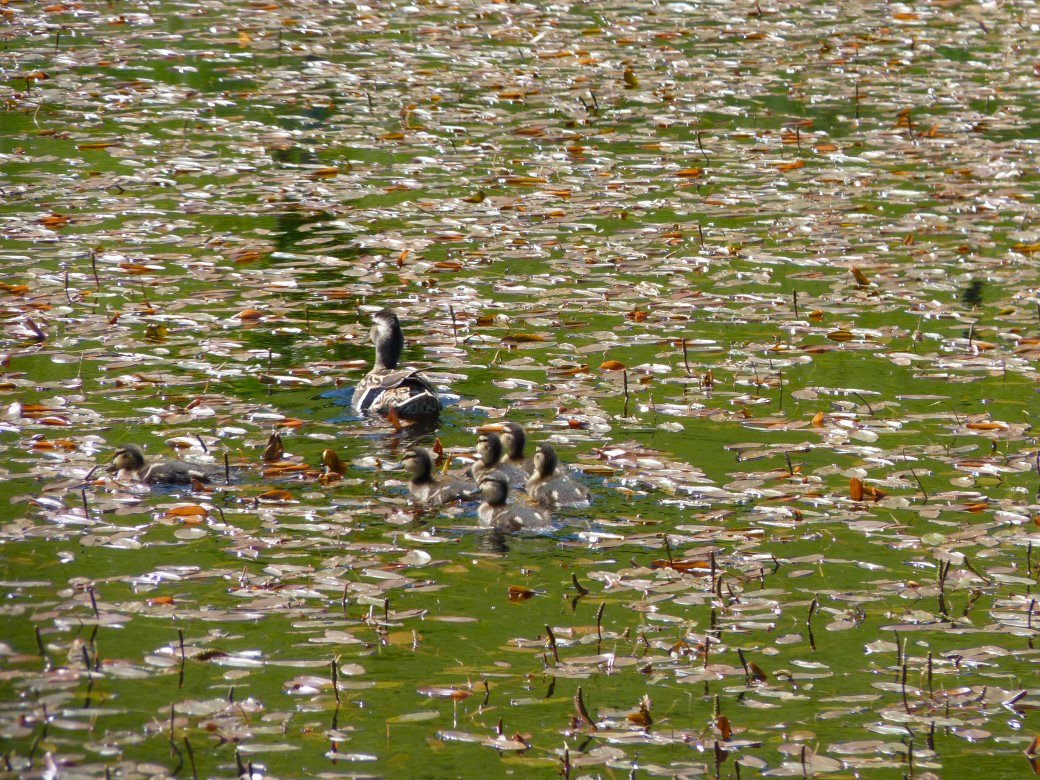
But there was still room for a duck family.
As we neared Garnett Bridge we started to climb away from the valley bottom heading for the ruined farm of East View. The fells above Borrowdale in Westmorland form the horizon.
We joined the substantial track which climbs up from the Potter Fell road. Whinfell Beacon is the high fell across the valley.
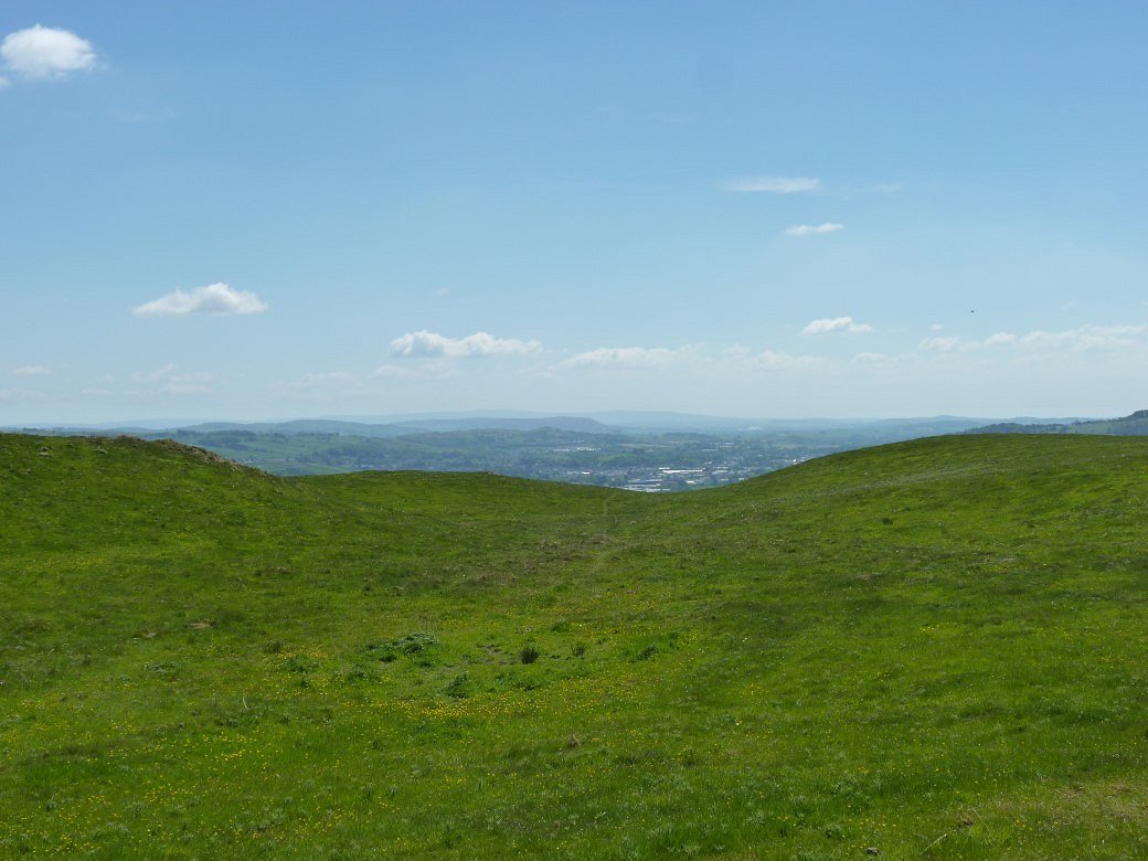
Kendal just about visible
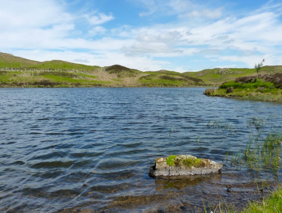
Before long we reached a quite choppy Gurnal Dubs. There were a couple of swimmers and a paddle boarder who apart from a fell runner on Brunt Knott were the first people we had seen all day.
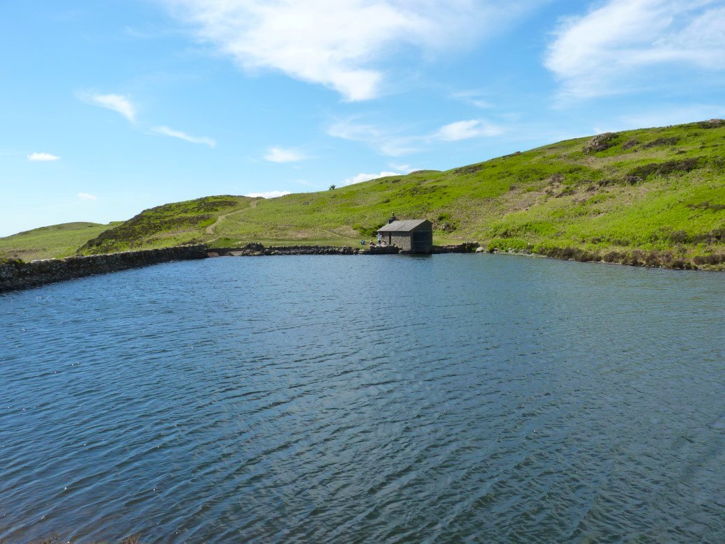
Although there looks to be a few by the boathouse.
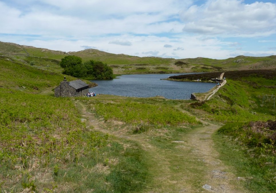
Looking back from the path over the small rise which leads to....
..... Potter Tarn. With the Coniston Fells in the background.
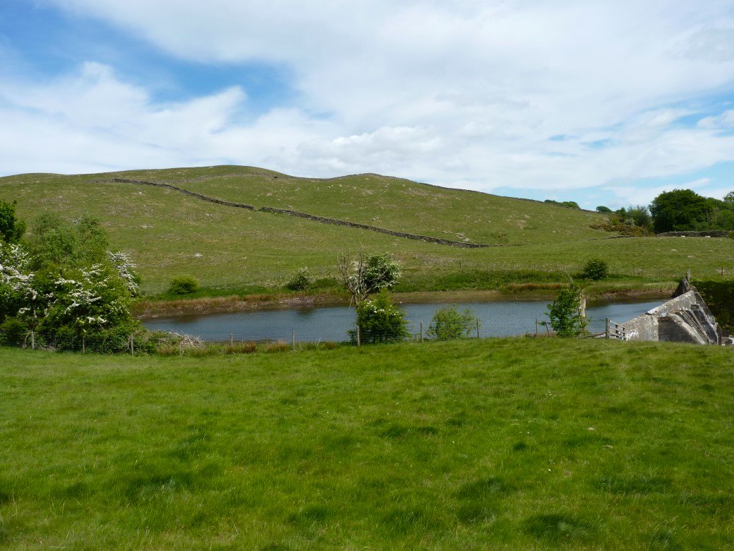
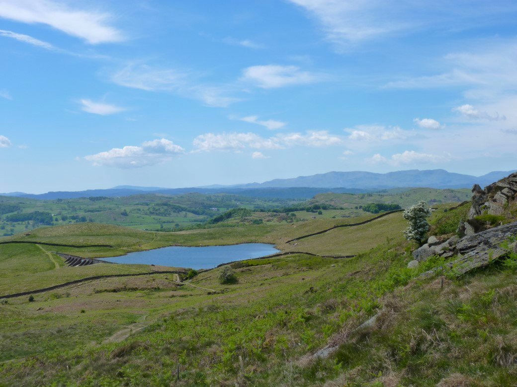
Rather than descend directly to Staveley which I've done the last couple of times I've been here we followed the path down to Hundhowe passing the small reservoir of Ghyll Pool on the way.
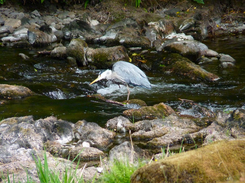
From Hundhowe we dropped down to the Dales Way which follows the river Kent in which was spotted this heron.
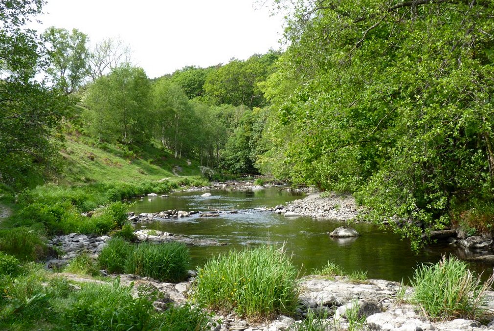
This was another lovely peaceful path following the river upstream toward Staveley.
The Dales Way leaves the river and joins the road just outside Staveley and as we were parked at the other end of the village we had to walk past the Eagle and Child pub and it would have been rude not to call in so that's what we did.
Previous walk -- Shap summit to Brunt Tongue and back - Next walk - Around Dunnerdale