WWW.KARLSWALKS.CO.UK
PICTURES AND TRIP REPORTS FROM MY WALKS IN THE ENGLISH LAKE DISTRICT
|
E-mail - karl@karlswalks.co.uk |
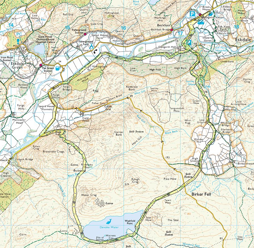
Richard had organised a meet in Eskdale on the Uk walkers forum. Tim had responded and he and Richard had walked to the national trust campsite on Friday. I was working on Friday so drove up to meet the lads on Saturday morning. Friday apparently had been a very mixed day followed by a very windy night but Saturday was dry when we set out from the campsite to walk a round of the modest hills to the south of Devoke water.
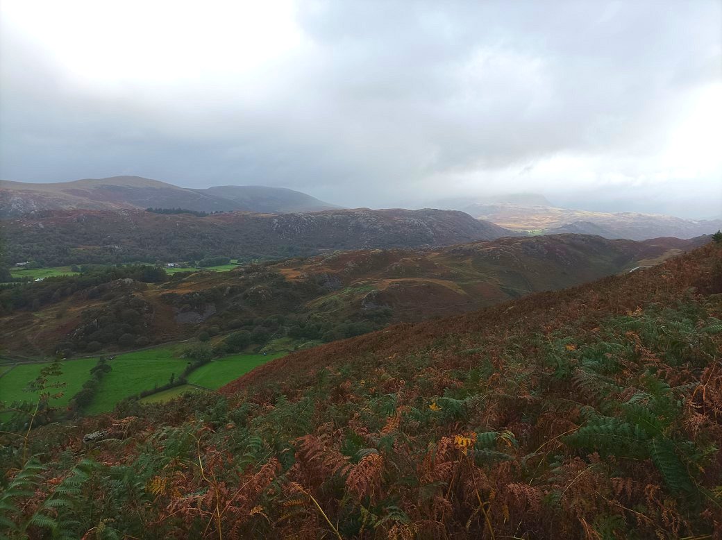
Not much longer after setting out we had a couple of heavy showers but as we were walking the mainly wooded path we didn't get too wet. As we reached the bottom of Brant Rake the sky did clear. The clag was still quite low so we had no clear views of the high fells to the north.
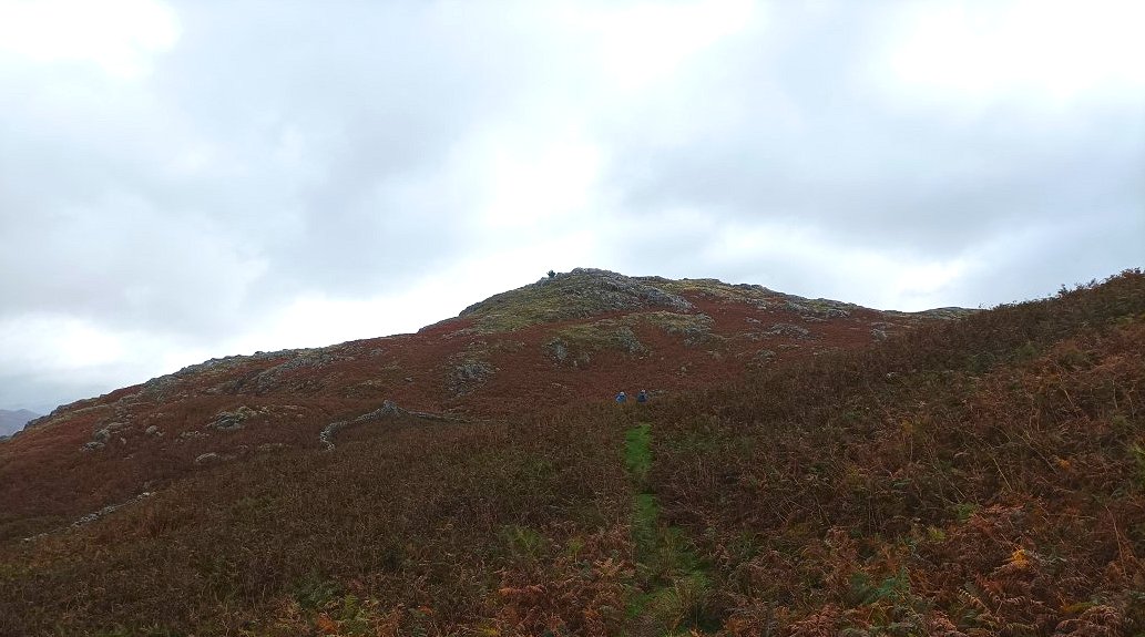
Looking up to the northern top of Brant Rake Crags where I camped earlier this year.
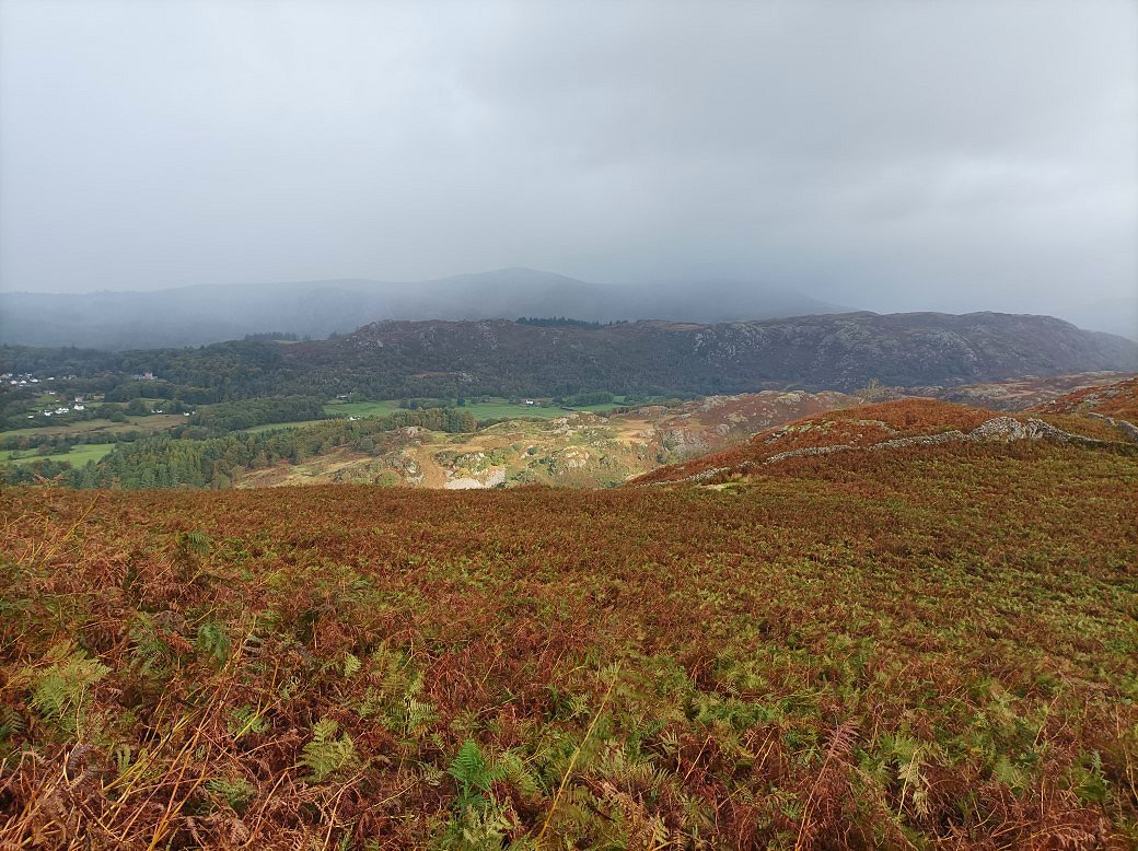
It looks like our luck with the weather might be changing.
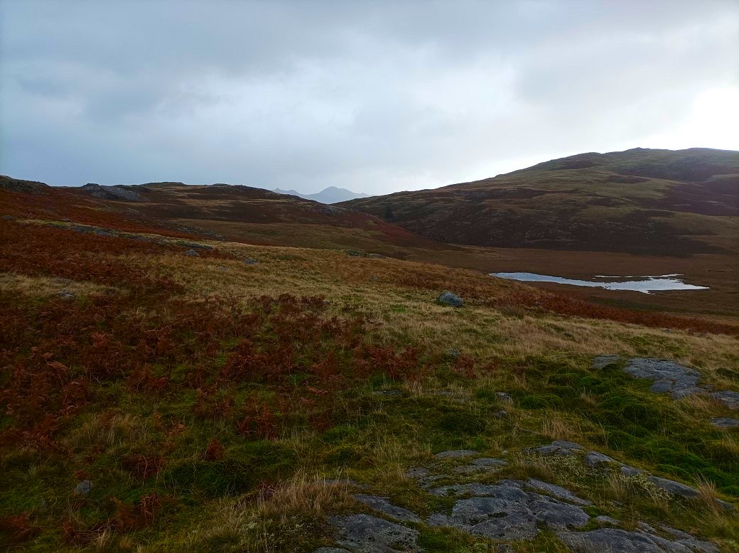
Harter Fell and Crook Crag appear in the gap between Rough Crag and Garner Bank.
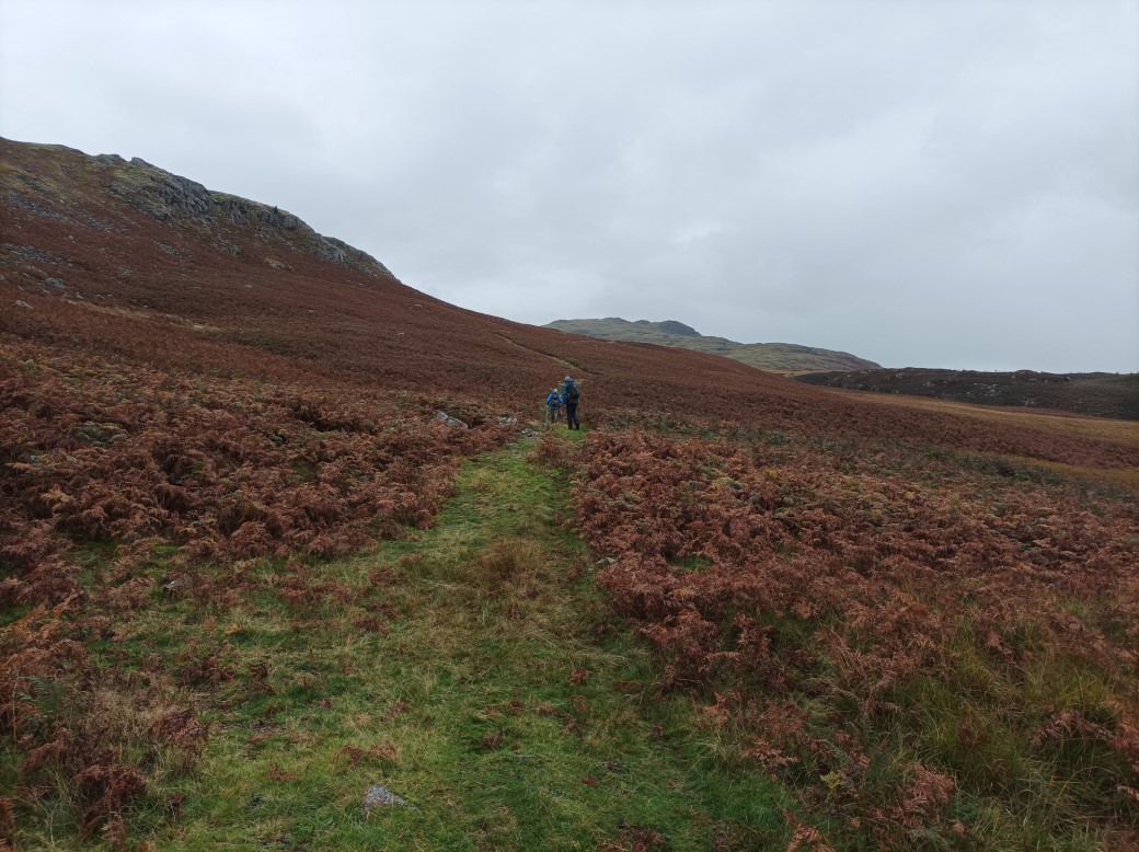
Heading around Water Crag. It was still dry here but as we reached the top of the path the rain and wind arrived and the temperature seemed to drop a few degrees.
.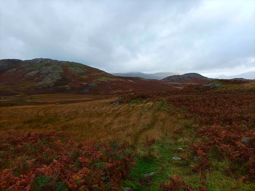
The view behind us had improved with Whin Rigg and Illgill Head coming into sight.
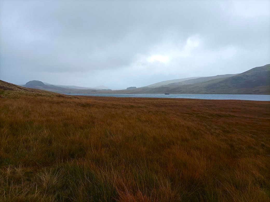
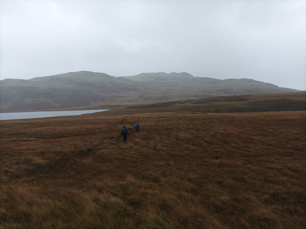
It was at this point that we all made the decision that we wearn't going to climb the pathless hillside up to the Yoadcastle fells.
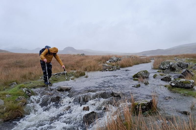
The crossing of Linbeck Gill, the outflow of Devoke Water was very testing. Richard took this photo of me using his walking poles to get across.
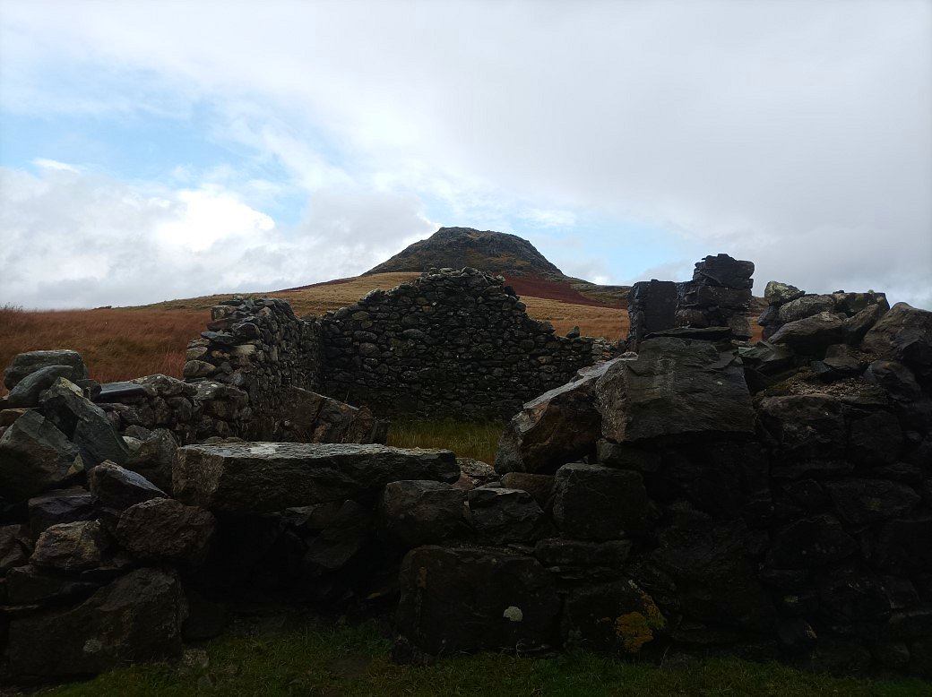
Luckily the rain abated for a while and we had a quick lunch sheltered in the lee of the boathouse This is looking up to Seat How.
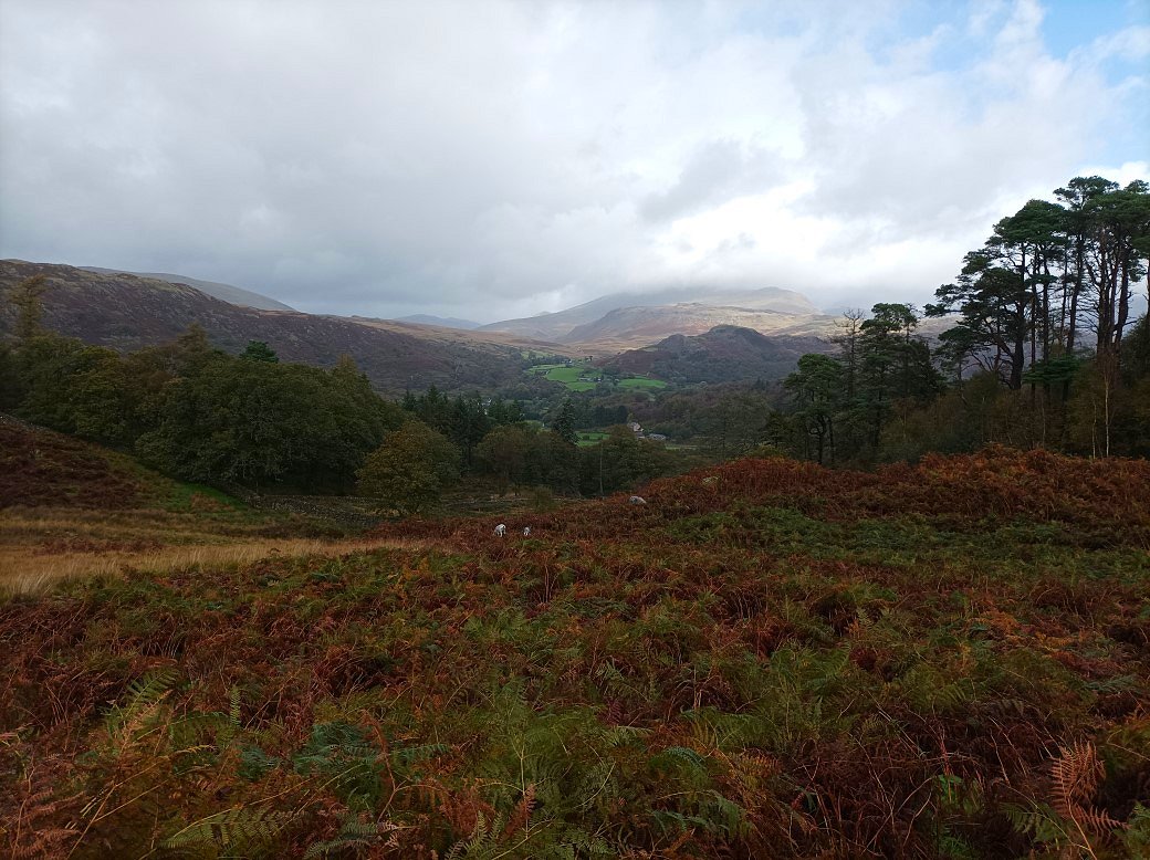
For the next half an hour or so the weather was quite pleasant. We made our way past the farms at High and Low ground and here we very nearly got a view of Sca Fell over the top of Great How. We got another soaking as we reached the valley which forced us into the pub to dry off.
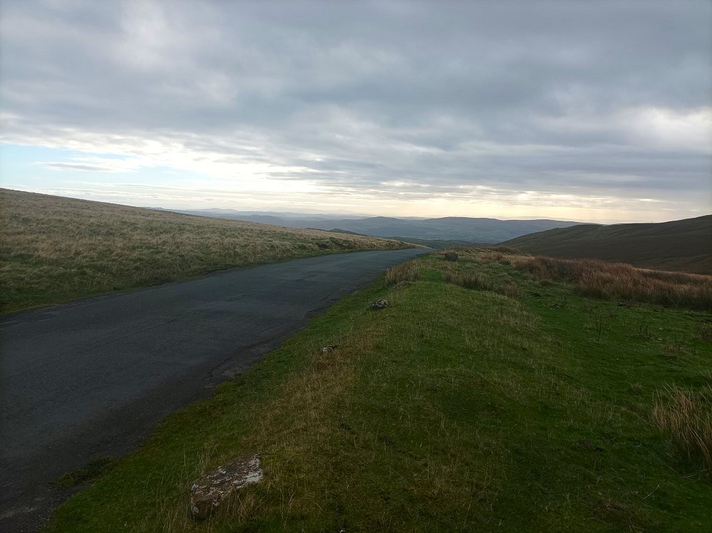
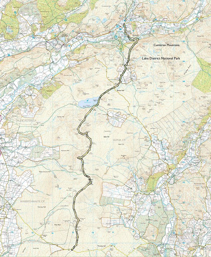
Sunday was a much nicer day. As Tim hadn't walked these fells before we decided on a linear walk using two cars starting from the summit of the Corney Fell road and walking back to Eskdale. This looking down the road to the low lying land around the Duddon Estuary.
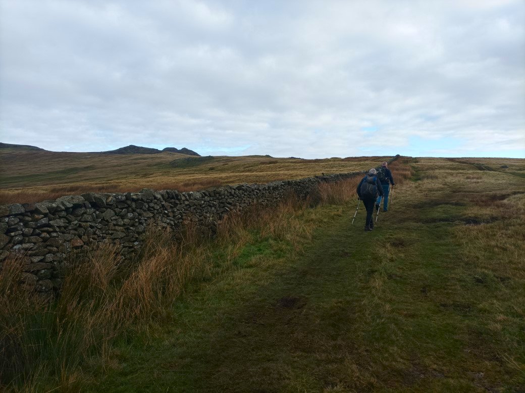
Heading up the gentle slope to the Buckbarrow fells.
.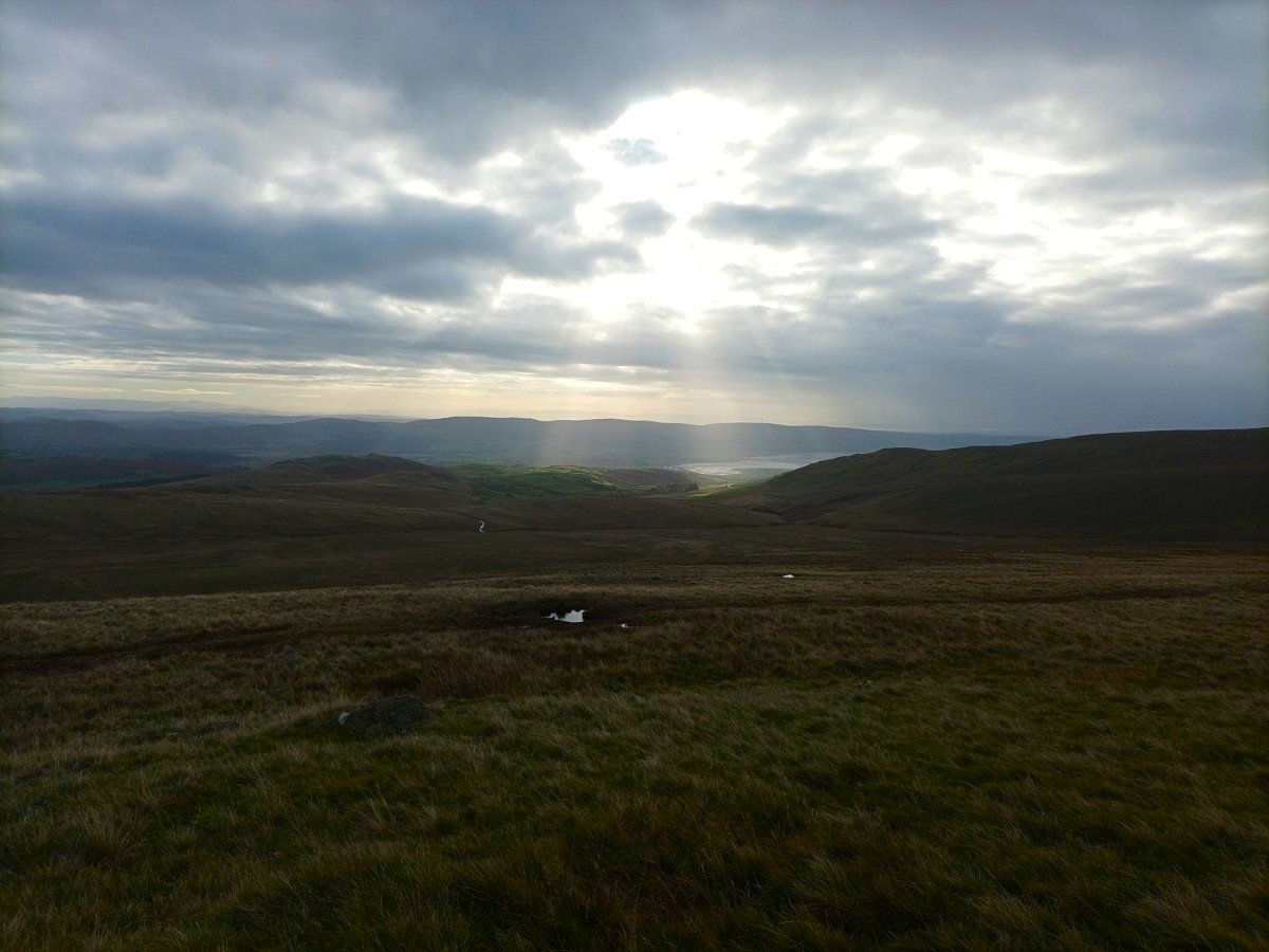
Sunrays over the estuary.
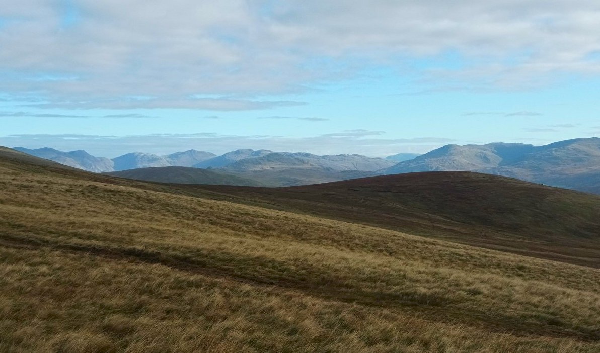
As we climb the full panorama of higher Lakeland fells is revealed. Grey Friar and some of the Coniston group on the right then Fairfield and Helvellyn in the central Lakes and then the semi circle of fells around the head of the Esk with Crinkle Crags, Bowfell, Esk Pike, Ill Crag and the Scafell's
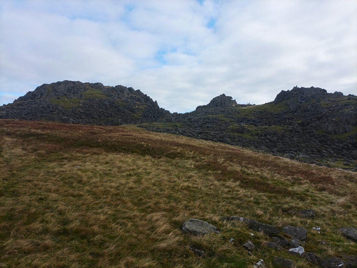
We had a quick climb up to Buckbarrow as we were passing.
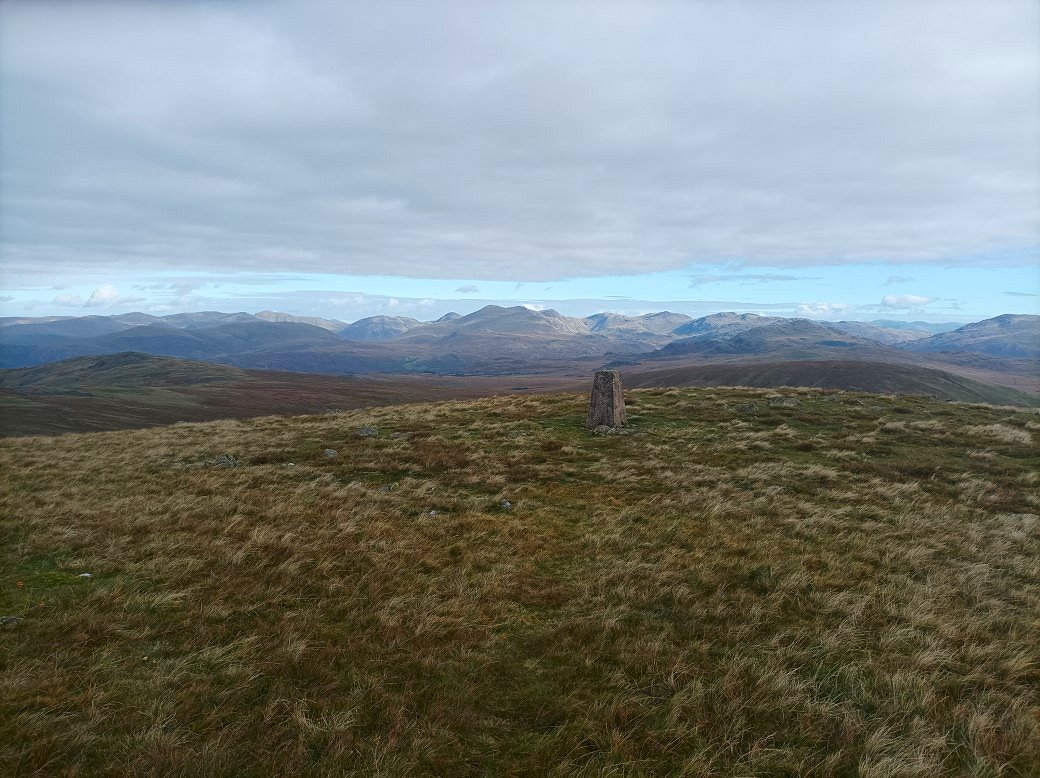
From Buckbarrow we descended into a very wet Littlecell Bottom and then followed the rising path across the shoulder of Burn Moor to the top of Whitfell from where the higher fells of western Lakeland can be seen. The Scafell Pikes are in the centre and to the left Great Gable is peeping out then Kirkfell, Pillar, Scoat Fell and Haycock.
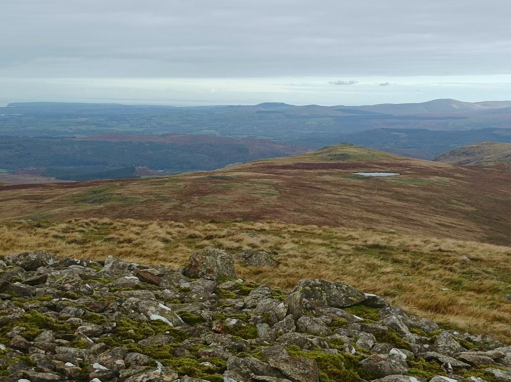
Looking down from Whitfell to Holehouse Tarn and Stainton Pike which was to be our next top visited.
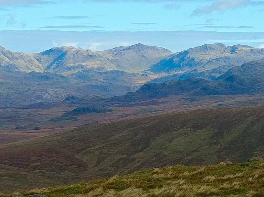
From Stainton Pike we followed the interesting ground comprising of rocky outcrops interspersed with grass to Yoadcastle. From where I zoomed in on Crinkle Crags, Bowfell and Esk Pike above upper Eskdale.. From here we descended down to Devoke Water but varied our route from yesterday by taking the very rough path down Underbank which was as difficult to follow as I remember from the last time I used it. My phone battery died here so unfortunately no more photos.
Previous walk -- Around Stoupdale - Next walk - Stonethwaite and back via the Cam Crag ridge and the Cockly Pike ridge