WWW.KARLSWALKS.CO.UK
PICTURES AND TRIP REPORTS FROM MY WALKS IN THE ENGLISH LAKE DISTRICT
|
E-mail - karl@karlswalks.co.uk |
Another quick overnighter taking advantage of the nice spell of weather we are enjoying and visiting the little tarn perched on the side of Howes.
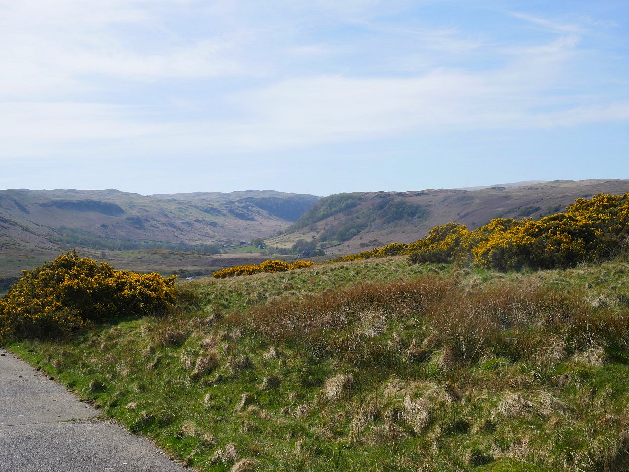
I took a roundabout route to get to the tarn, parking in the same place as I did last time I came to Swindale and again walking down the private road until the turning to Tailbert. Swindale and the dramatic cliffs of Nabs Moor are well seen from the walk down the road.
Looking back to Scalebarrow Knott from the short climb on the road. I was passed here by a convoy of vintage WW2 jeeps and small trucks every driver giving me a cheerful wave as they passed.
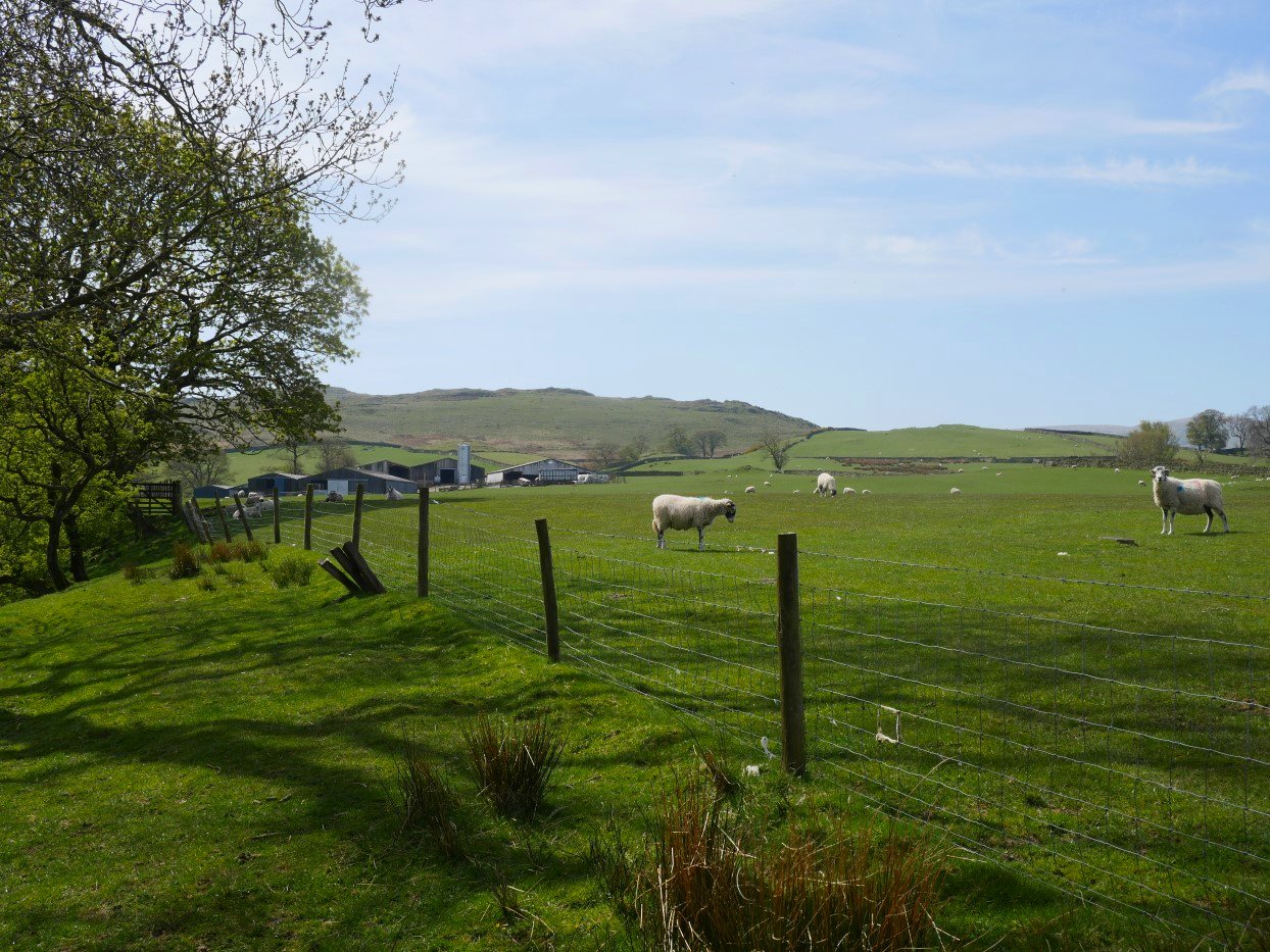
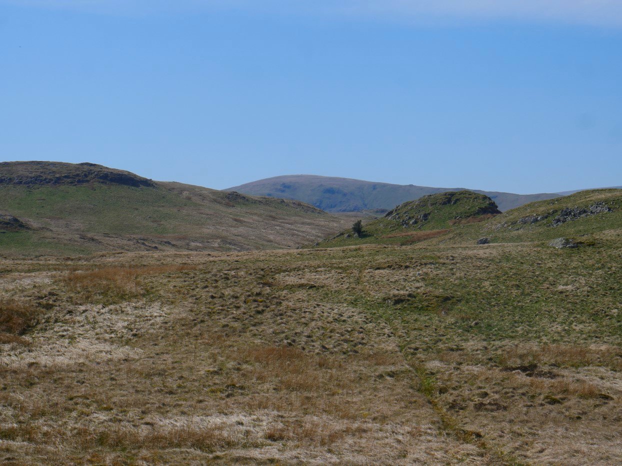
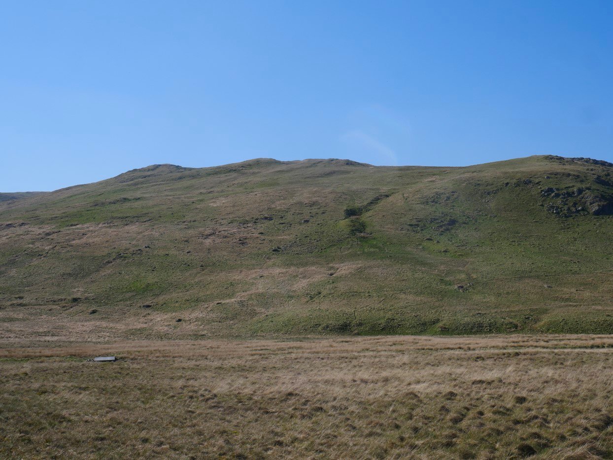
Approaching Tailbert now with Langhowe Pike above.
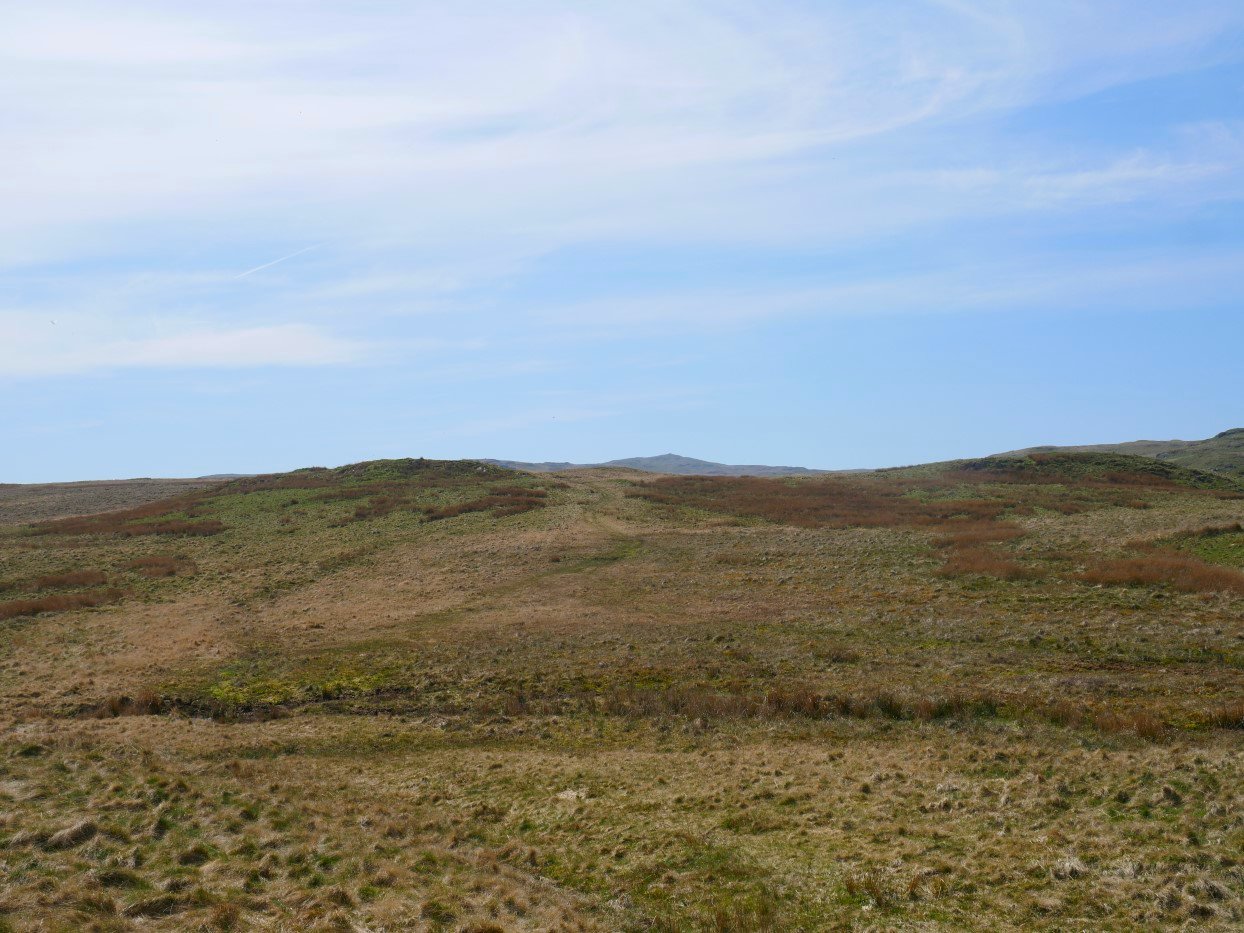
There is a cart track on the map which I was to follow all the way across the wide open spaces between Swindale and Wet Sleddale. It starts off wet but gets drier as it climbs it's mostly quite clear on the ground but in places it is easy to lose the line if you are not paying attention. Seat Robert is the hill in the distance.
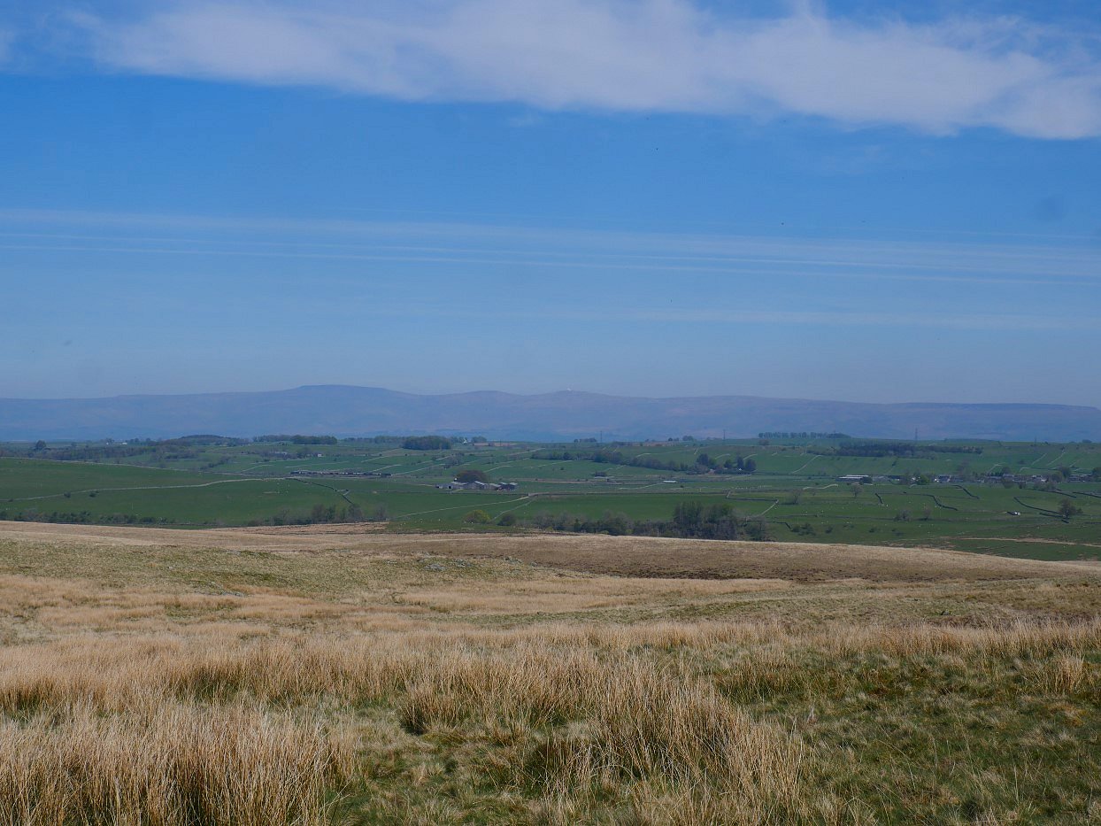
Cross Fell and the Dun fells are quite clear today.
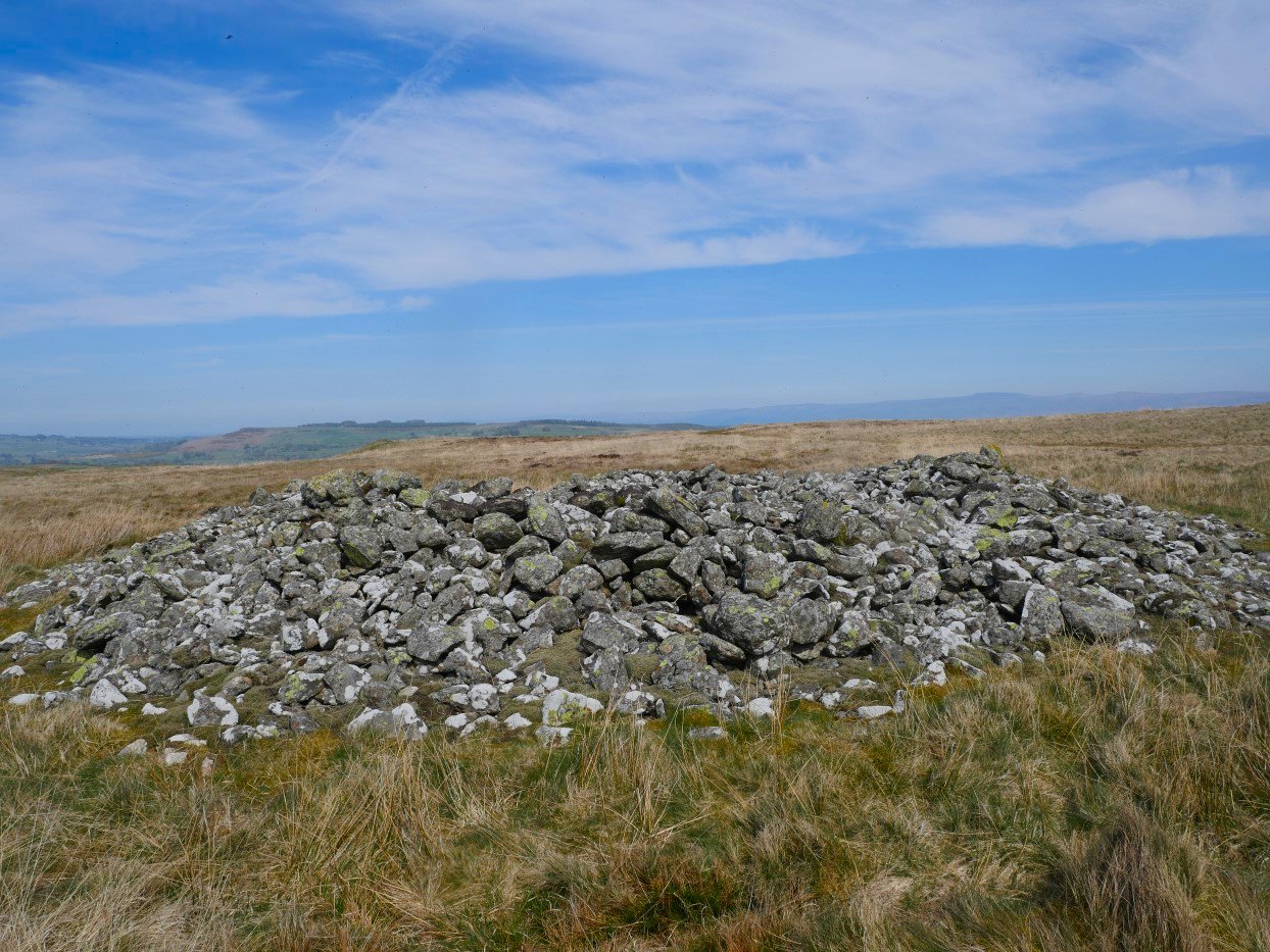
The ancient mound of stones on White Raise.
Selside in the background with Rowantree Crag in the foreground.
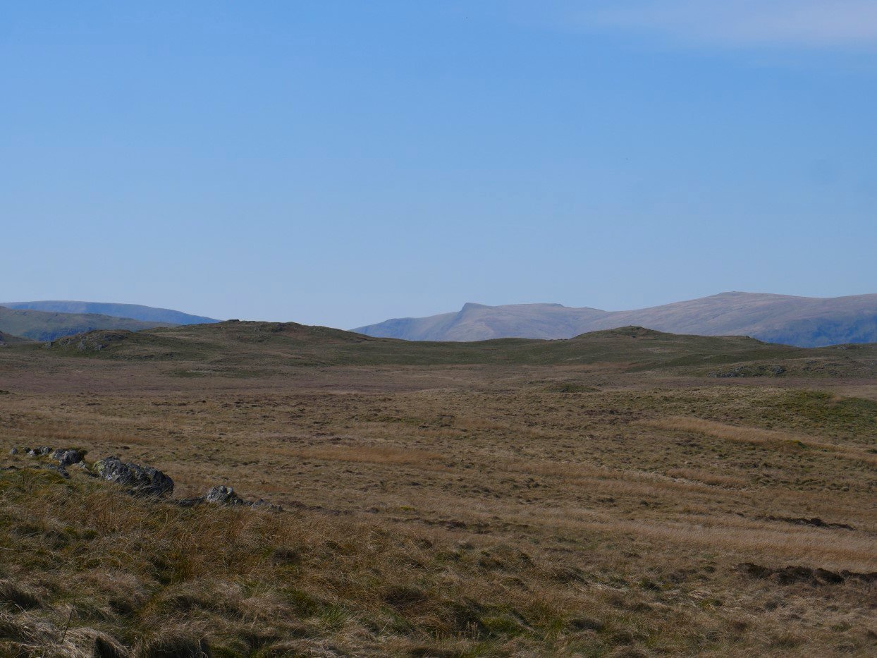
The whaleback ridge of High Street is on the left with the distinctive prow of Kidsty Pike centre and High Raise to the right.
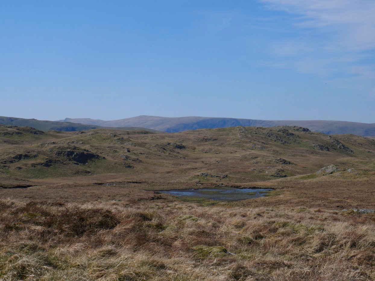
The track passes below Seat Robert and above Haskew Tarn which I've never seen full of water.
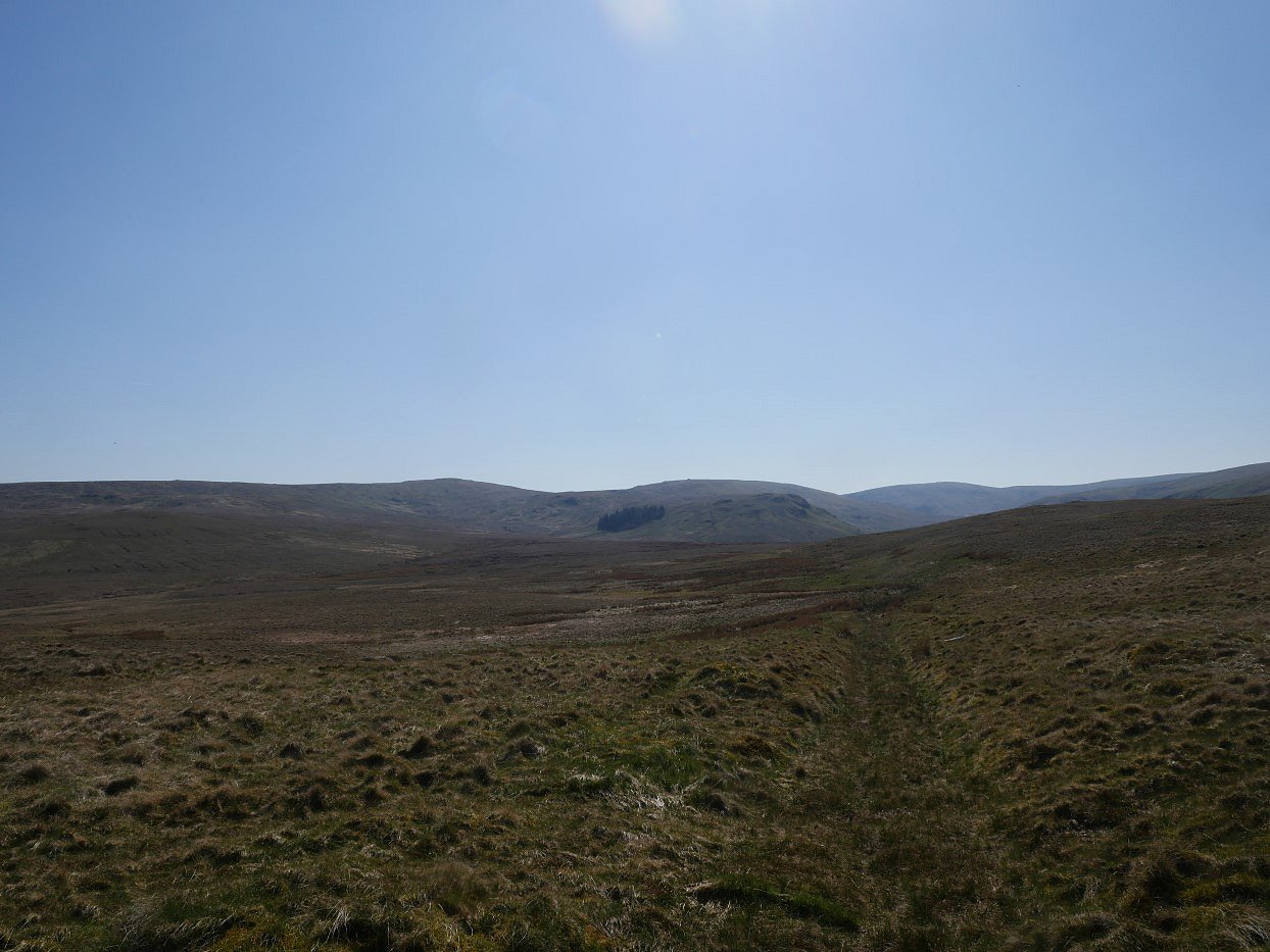
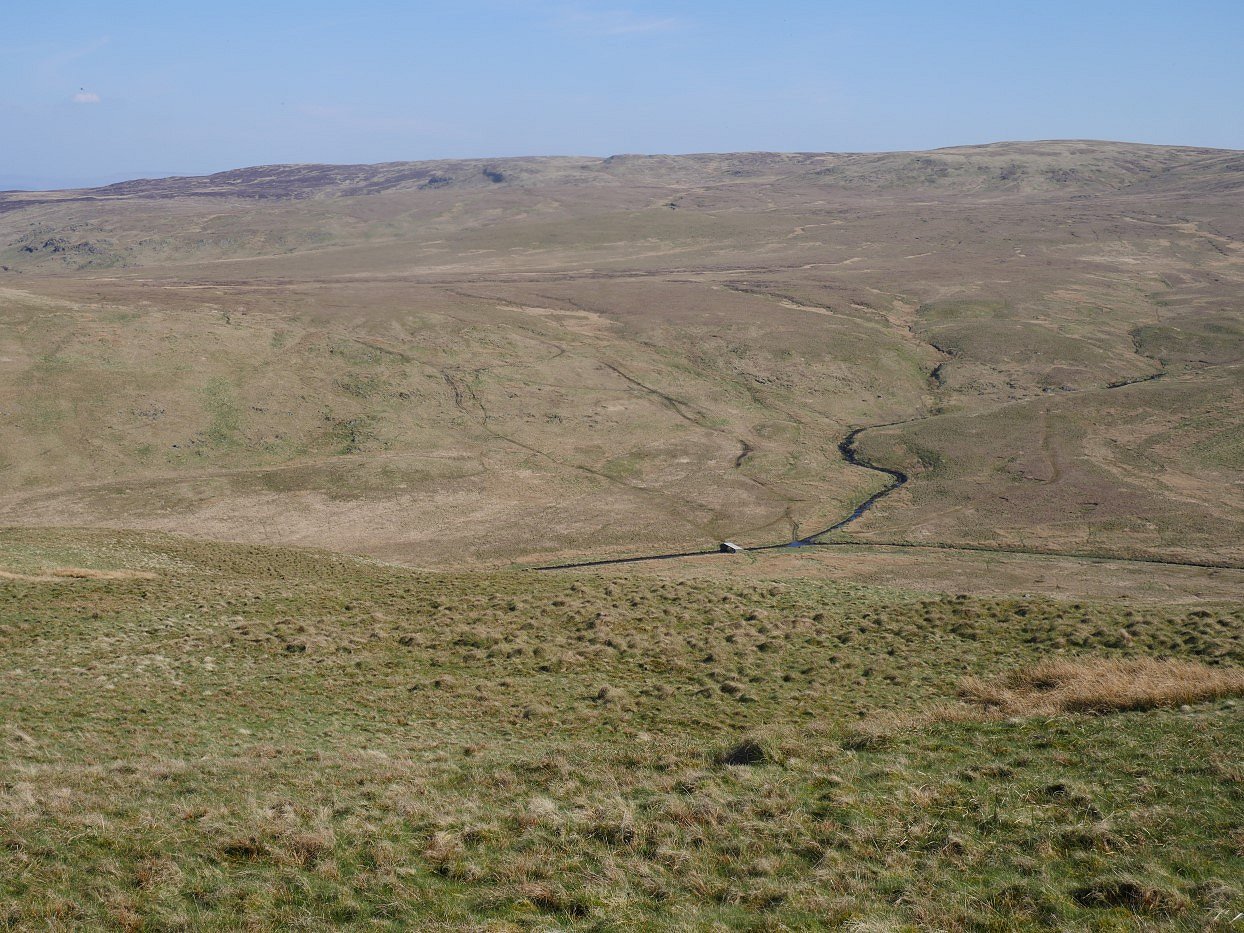
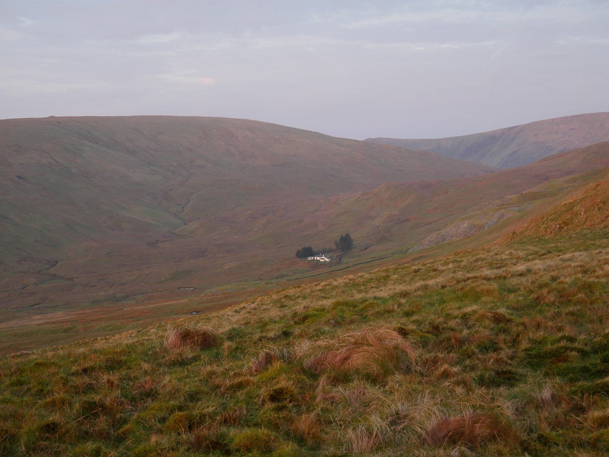
The cart track eventually meets the bridleway running between Wet Sleddale and Mosedale. From the left, Harrop Pike, Tarn Crag and Branstree form the horizon. In the near distance is Brunt Tongue and the little coppice which I explored last year.
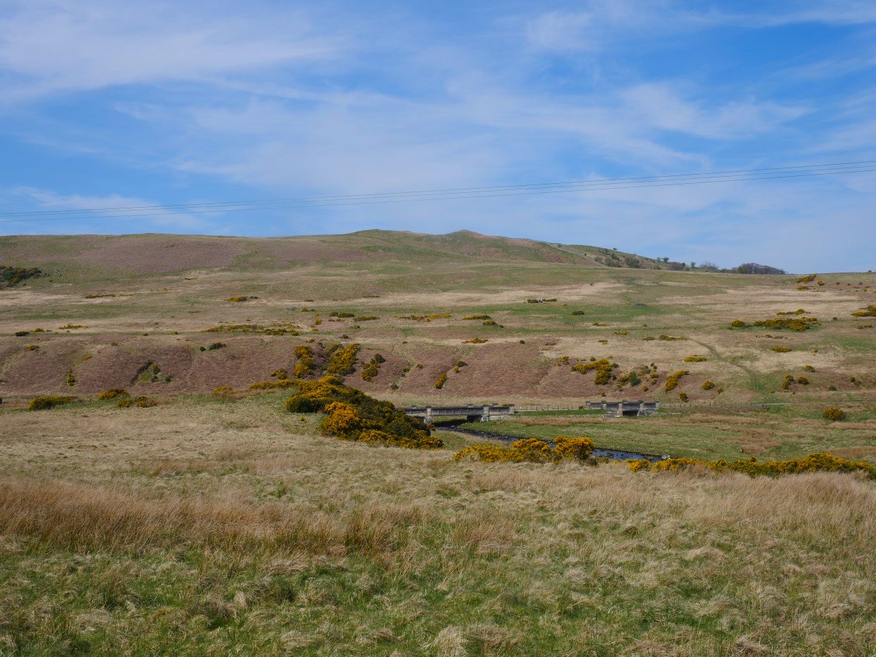
The path descends to Mosedale Beck and the concrete bridge over it. My route up to the tarn is straight up the fellside through the stream gully in the centre of the photo.
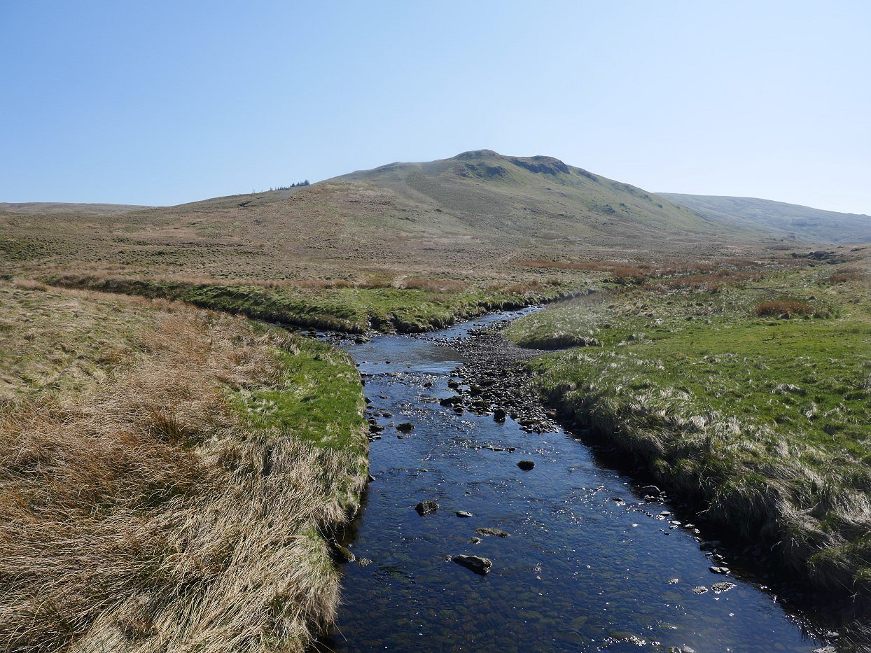
When I camped on Brunt Tongue I reached it by coming down the long ridge from Tarn Crag and to be honest I was a bit underwhelmed. This view from the bridge is what made me think that it would be a top worth exploring.
It's a steep pull up the fellside so I take a photo looking back down to the bridge whilst having a breather. The route from Wet Sleddale comes in from the left.
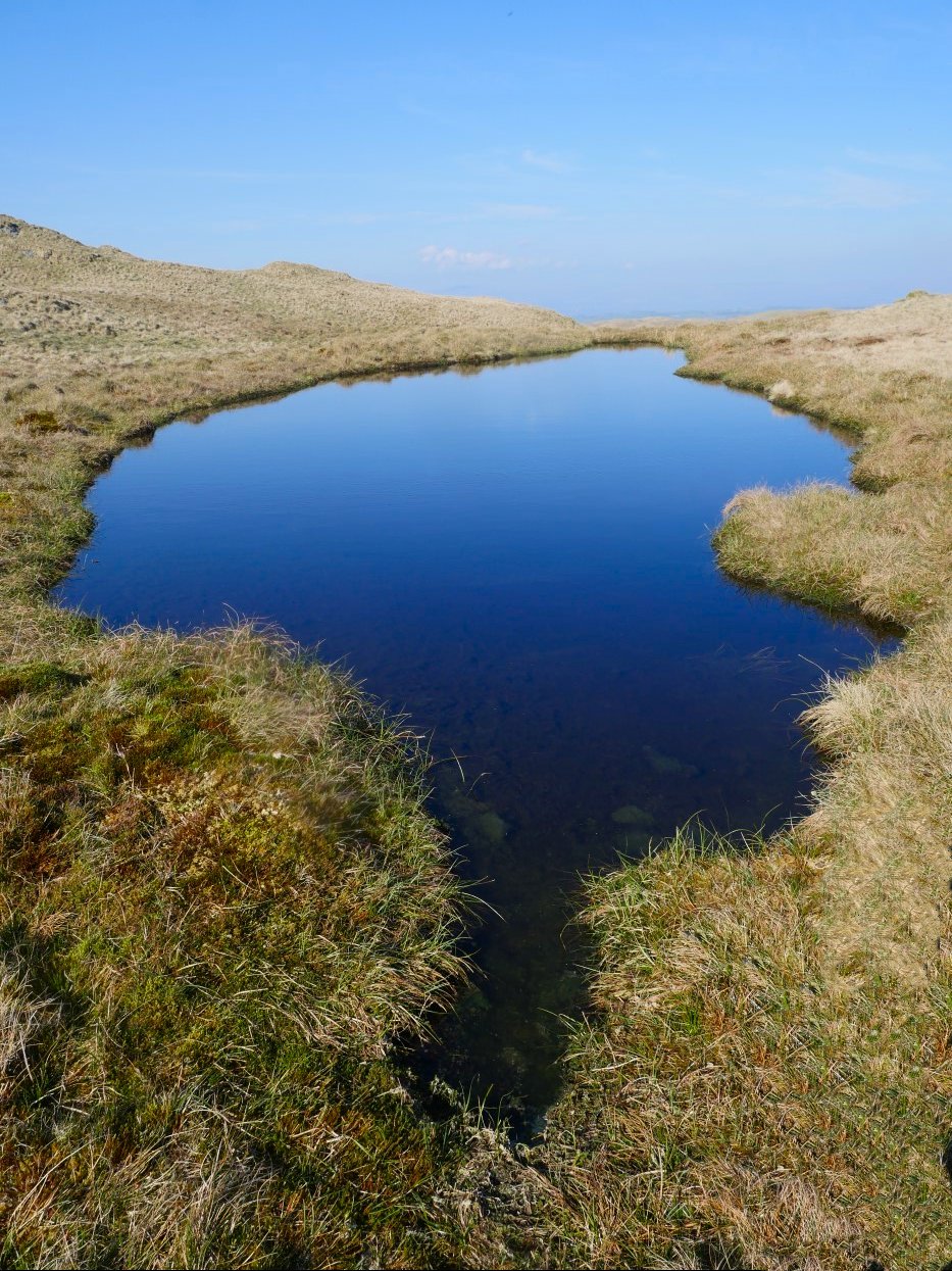
Eventually I reach Wainwright's "unexpected Tarn" ( The outlying fells book page 234 )
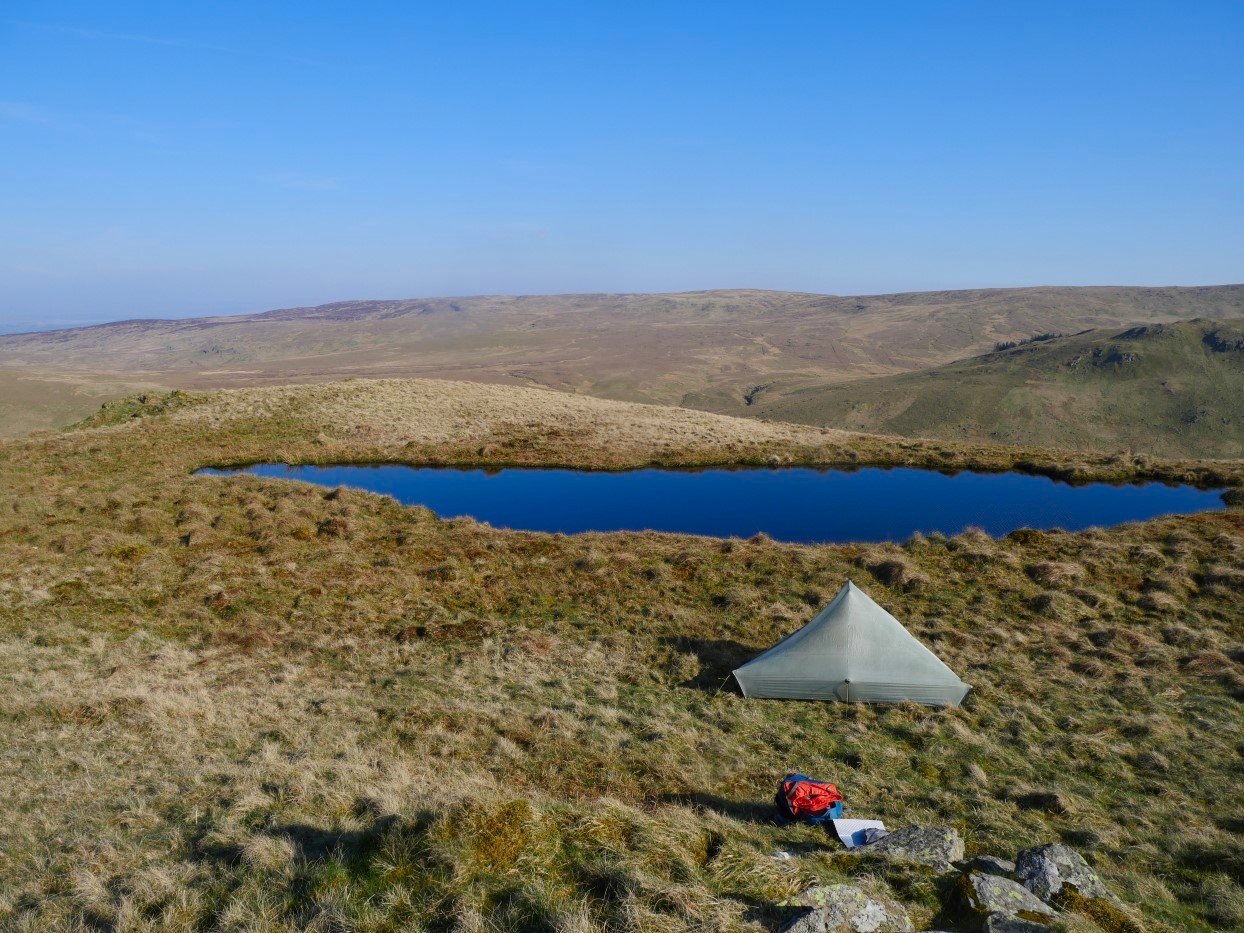
It was still early when I arrived so I lazed about in the sun reading my book and having a brew. Later in the afternoon a slightly chilly wind got up so I pitched the tent for a bit of Shelter. The tarn is probably one of hundreds in the Lakes and there are no really dramatic views from it but ever since I discovered it a few years ago I really like it and on a sunny weekend I knew that this is one place where I was virtually guaranteed a peaceful camp and I had not passed any other walkers only seeing a couple of people on distant tops.
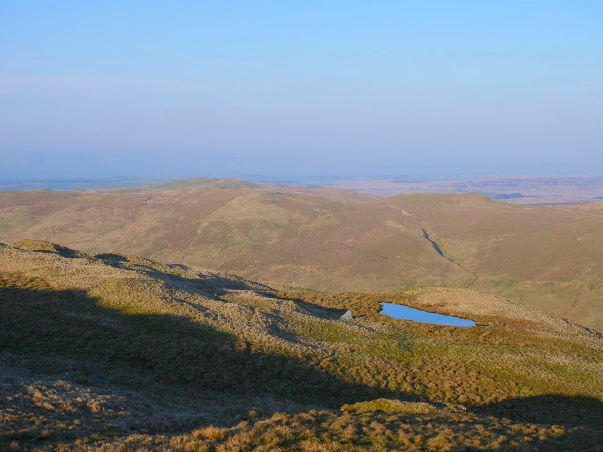
Later in the evening I walked to the summit of Howes for a look back over my campsite. As the sun dropped it became quite cold as it often does In April after a fine day.
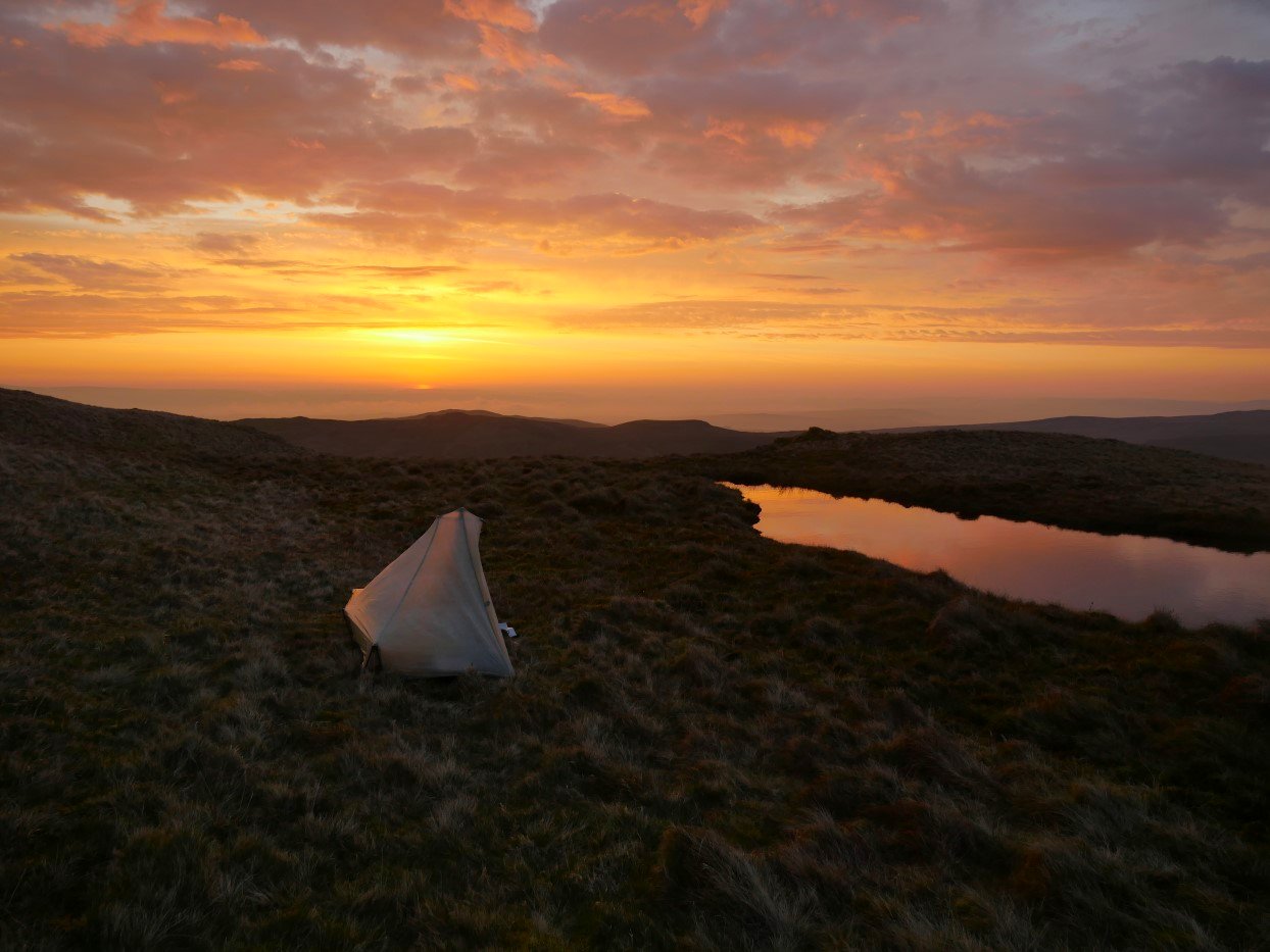
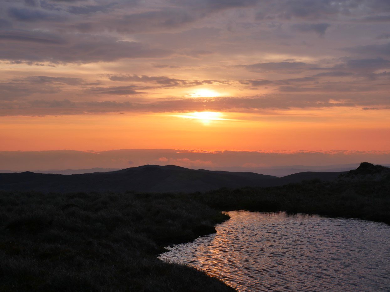
Today was forecast to start clear then cloud over with even a bit of rain around lunchtime. The sunrise was a lovely start to the day.
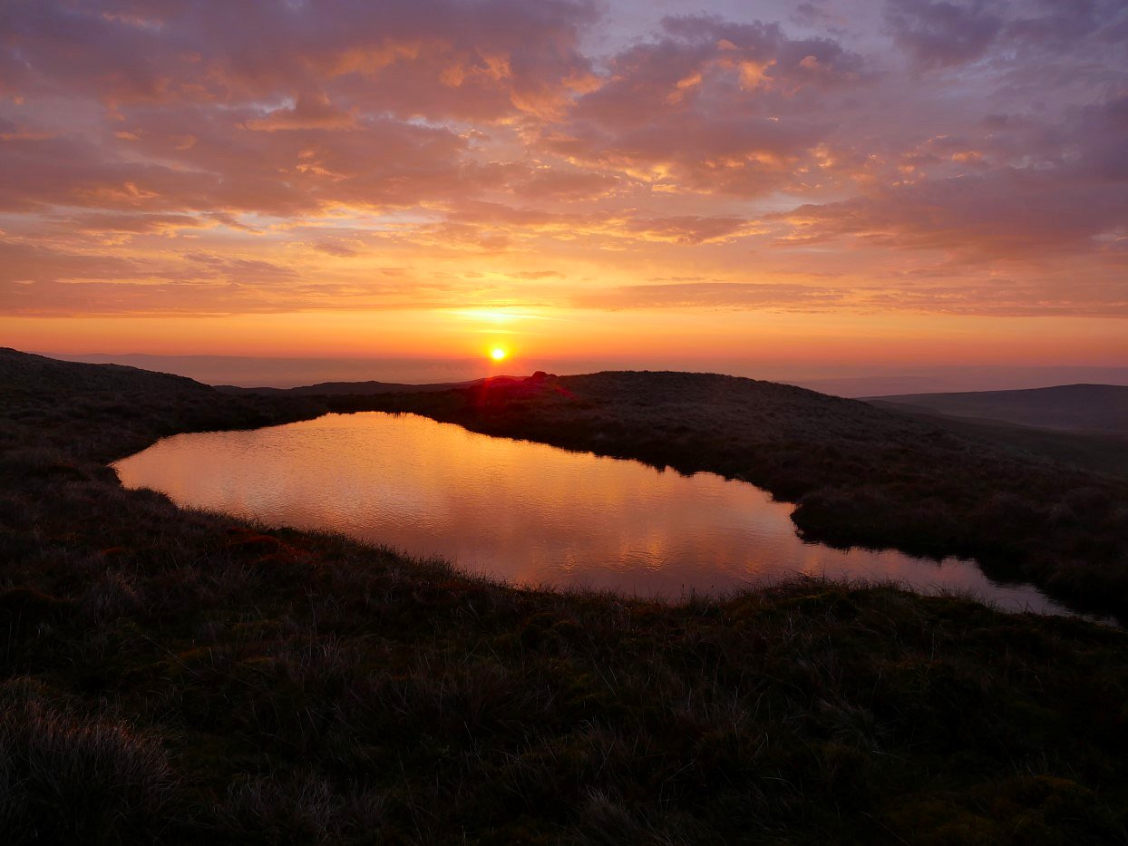
And there was a bit of welcome warmth in the sun as it rose.
I wondered if there was anyone in Mosedale Bothy enjoying the sunrise.
I always think a bit of cloud adds to a sunrise or a sunset too for that matter.
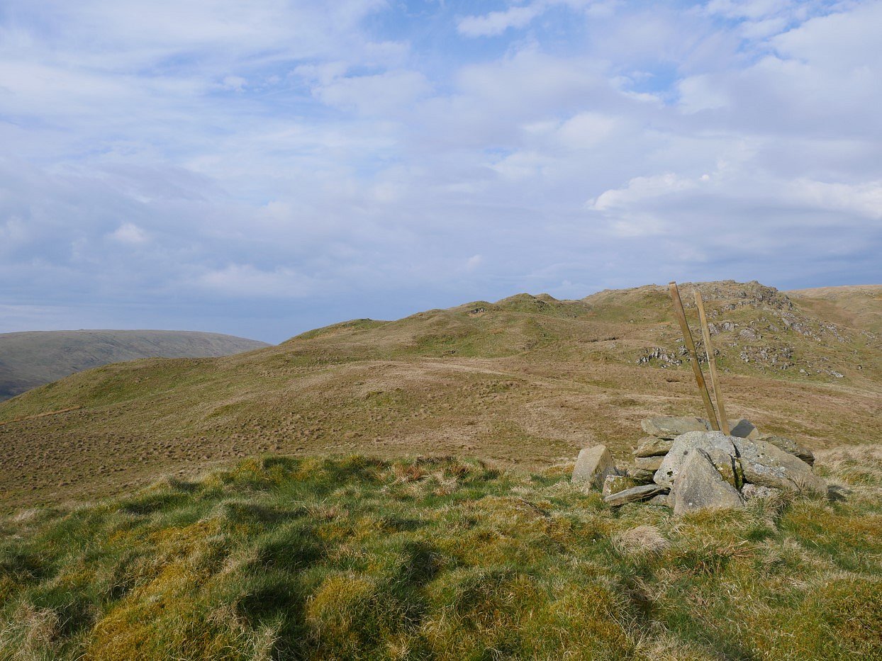
After the sun had risen properly and I'd had my breakfast and packed away I made my way over to the 544M cairned top and had a look back to Howes.
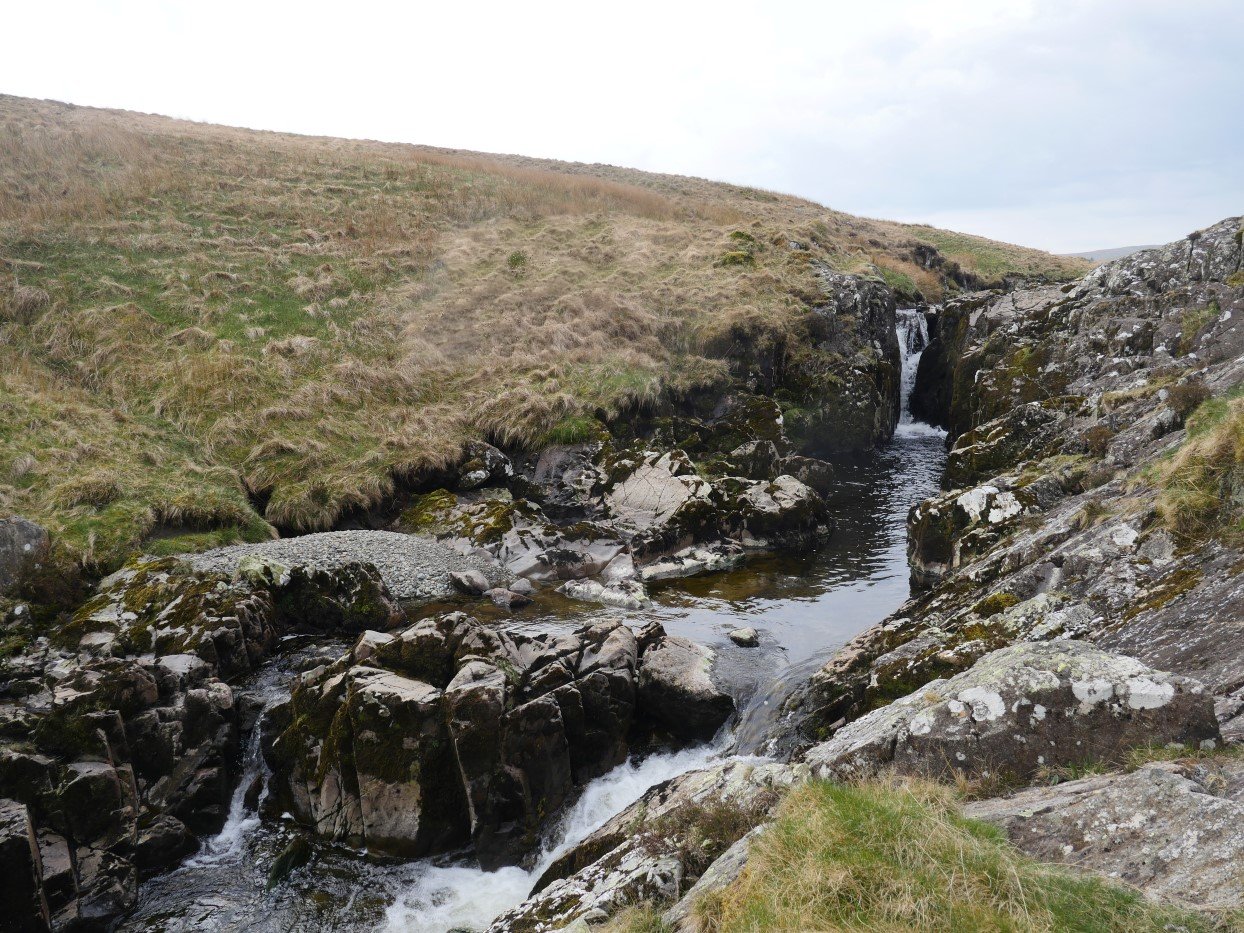
From the top it's a fairly boggy descent to the beck and then what I'd consider one of my favourite twenty minute walks down by the Forces falls.
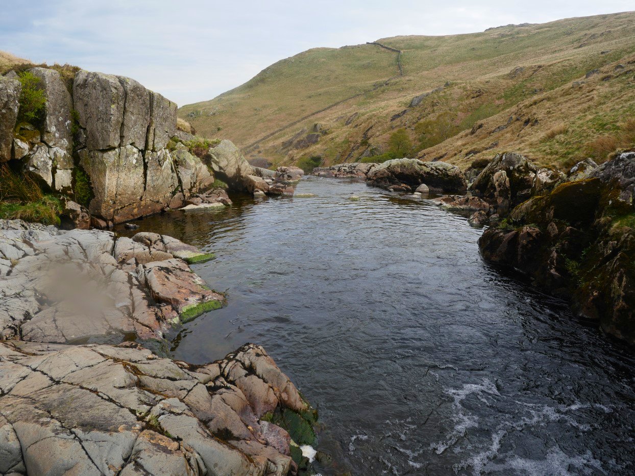
You have quite deep swimming pools.
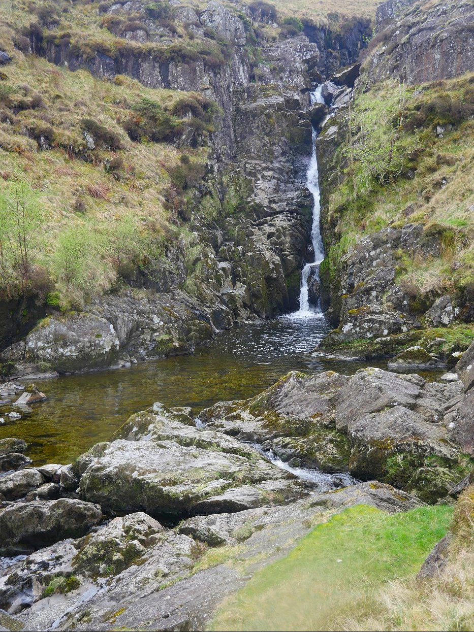
And swimming pools with a waterfall above.
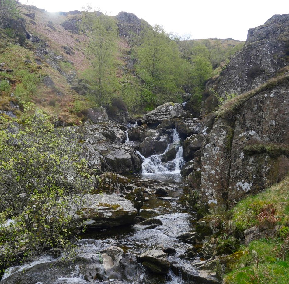
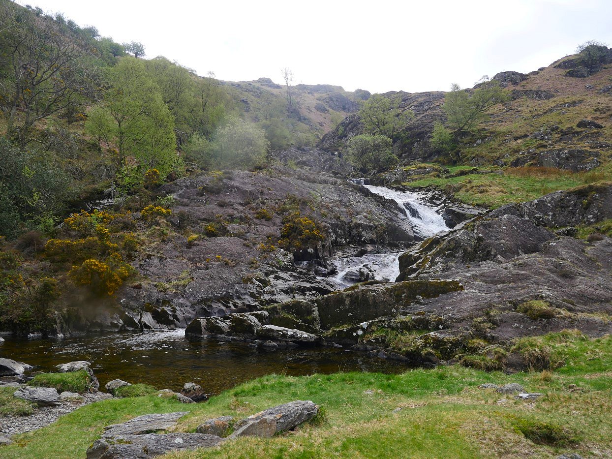
And dramatic cascades.
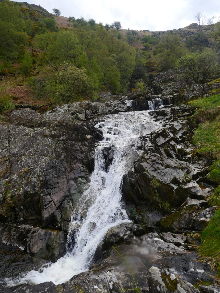
And even more dramatic cascades.
And finally an ideal grassy picnic spot with paddling pool.
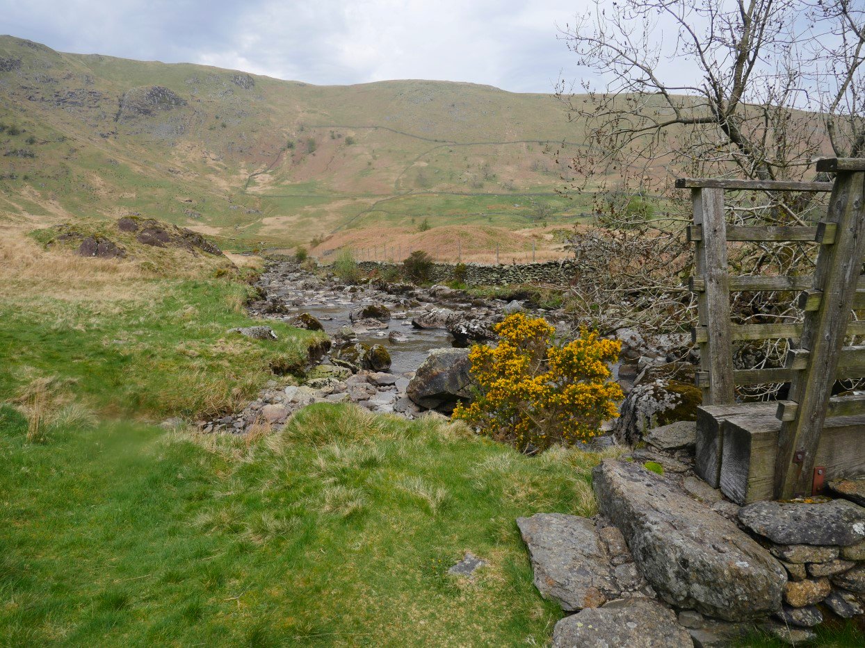
You can get back down the valley in two ways, last time I crossed the bridge and went that way so this time I followed the path which follows the beck.
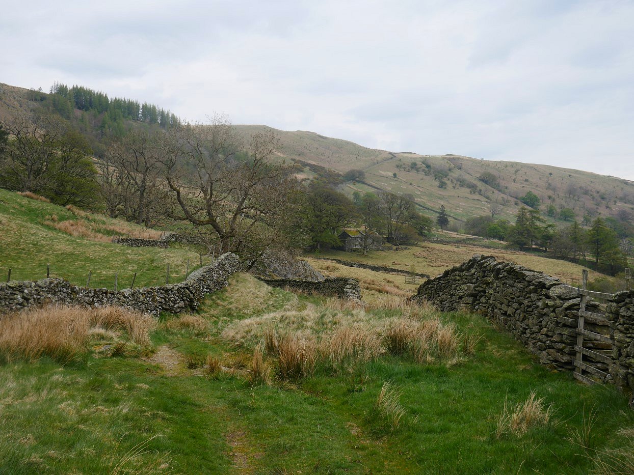
The path becomes a cart track as it approaches Swindale Head.
As I've parked at the top of the road I have a mile or so on the road out of Swindale. And as I reach my car it does start spitting with rain.
Previous walk --Cam Spout Crag - Next walk - Greenburn valley and Tarn Crag