WWW.KARLSWALKS.CO.UK
PICTURES AND TRIP REPORTS FROM MY WALKS IN THE ENGLISH LAKE DISTRICT
|
|
I was busy over the bank holiday weekend but it was a shame to let the nice weather go to waste so on Sunday afternoon I loaded up the tent and headed for the Corney Fell road..
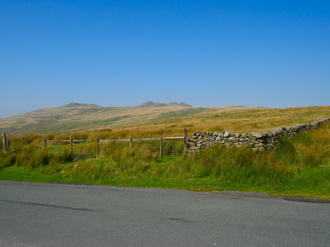
Looking up to the Buckbarrow group of fells. The path follows the wall which curves around to meet the fells.
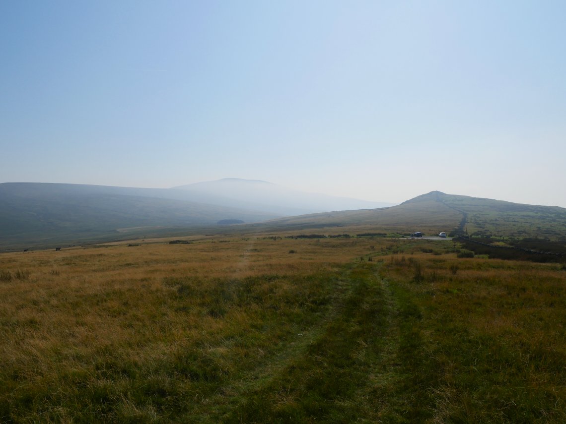
Very hazy over Black Combe and the sea. Stoneside hill is the small top beyond the cars.
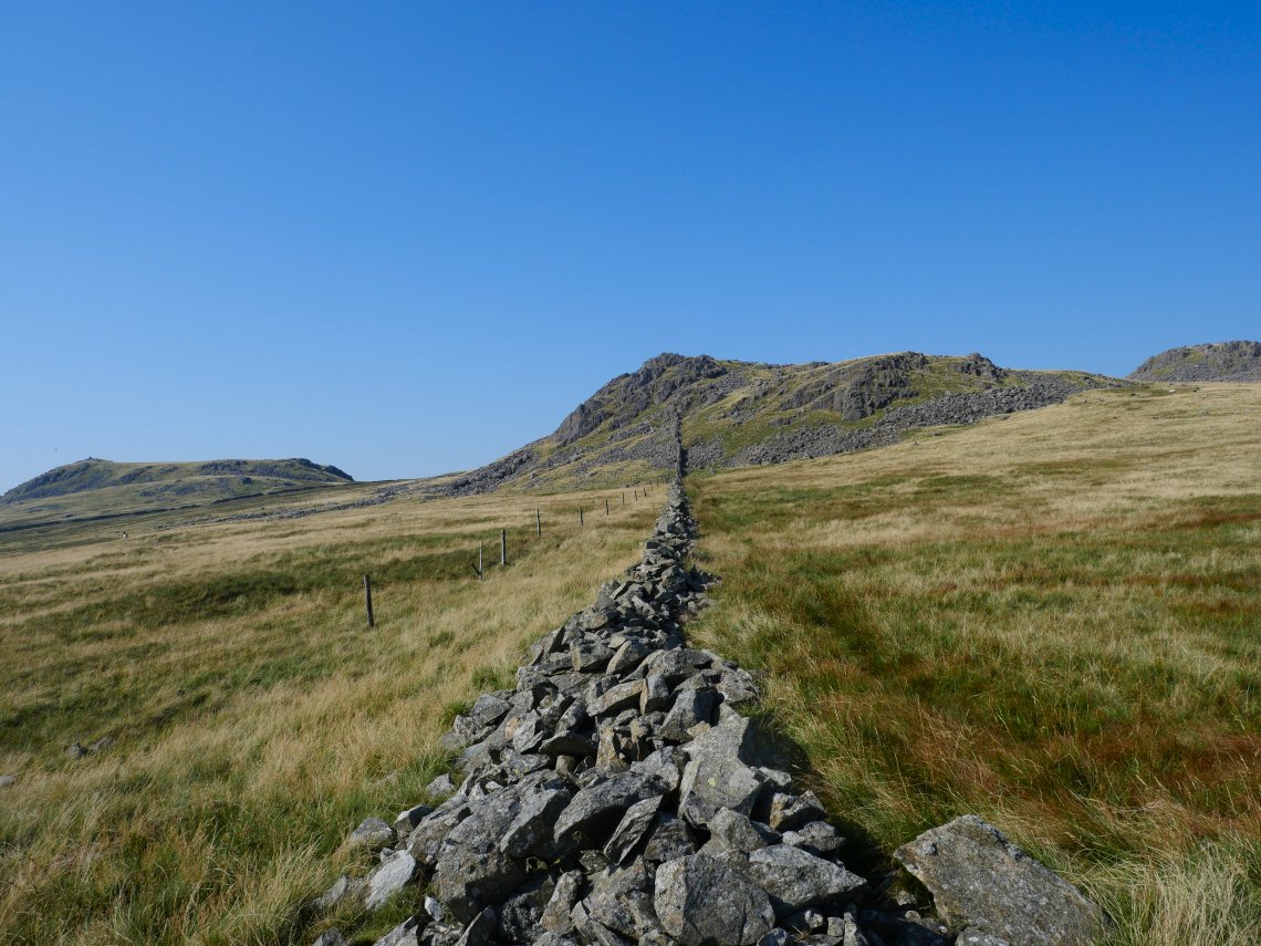
The main path passes through the gap on the right but a thinner trod follows the wall and becomes a mild scramble over Great Paddy Crag.
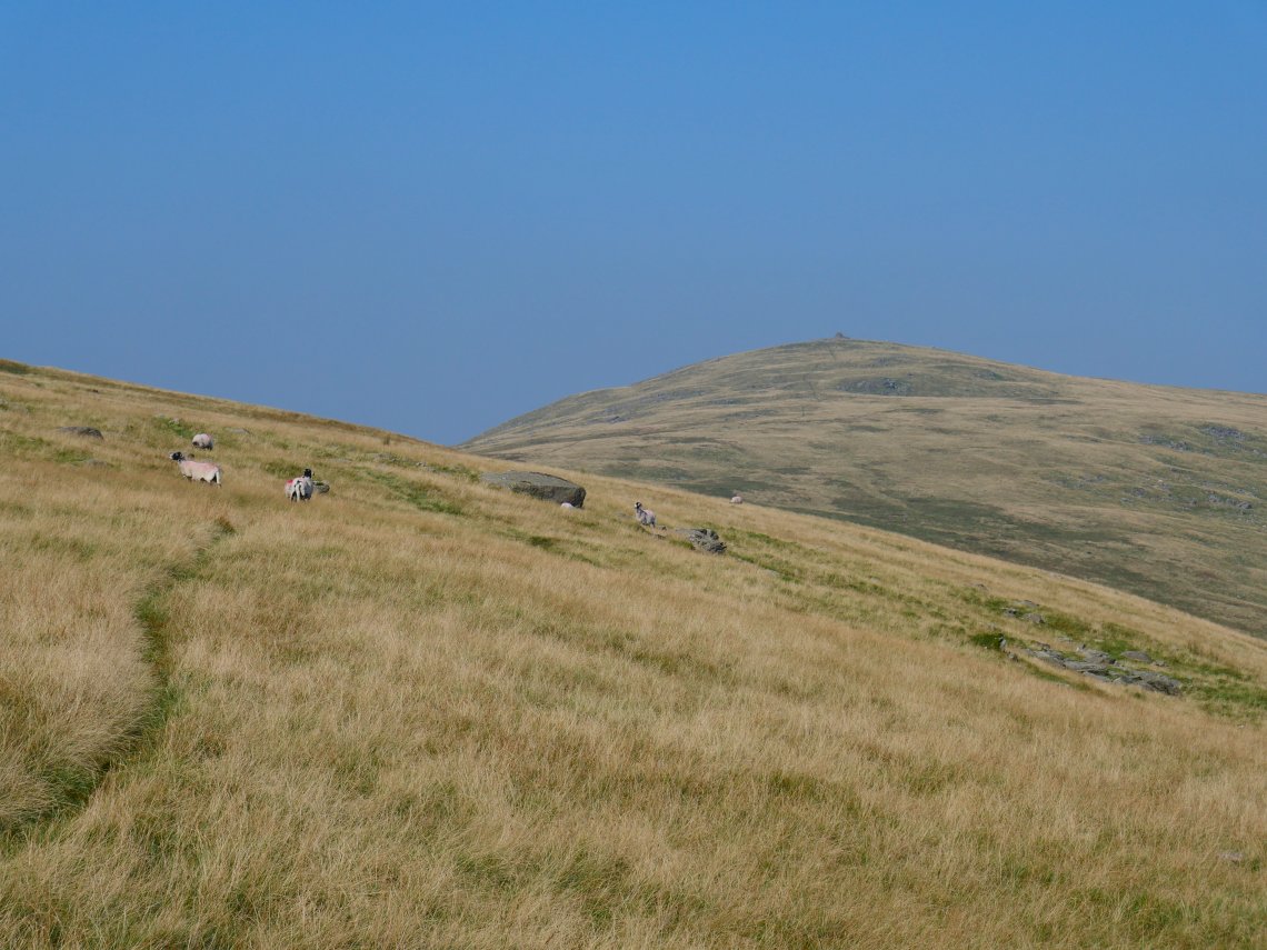
Following the path which flanks Burn Moor heading for Whitfell.
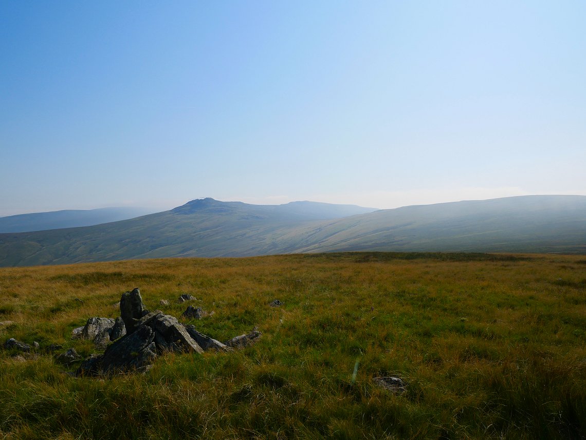
And a look back to the Buckbarrow group from the gentle ascent of Whitfell.
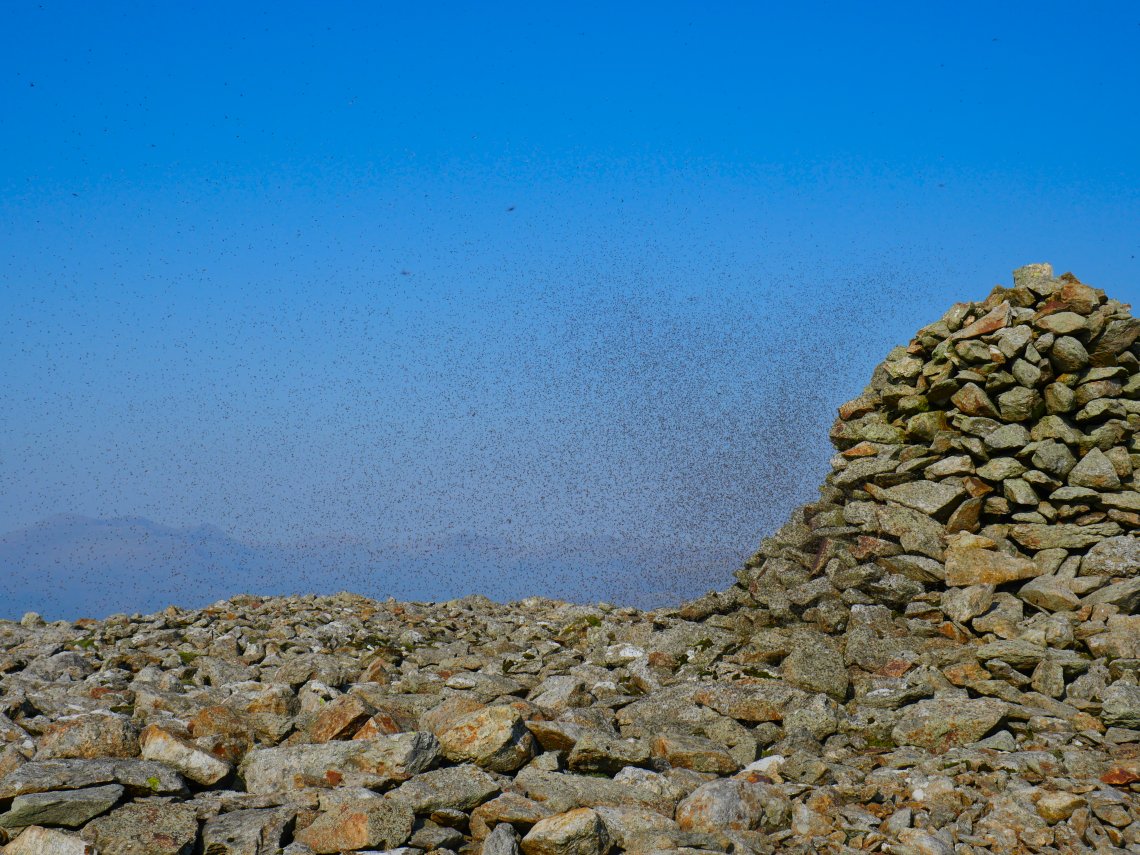
I was beaten to the top by one or two flying ants.
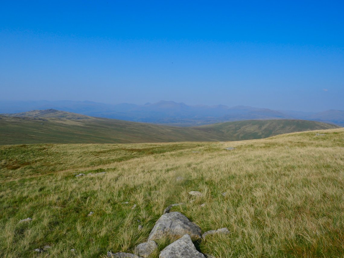
Leaving the ants to continue their party at the summit I headed down in the direction of Stainton Pike. The high fells are lost in the haze.
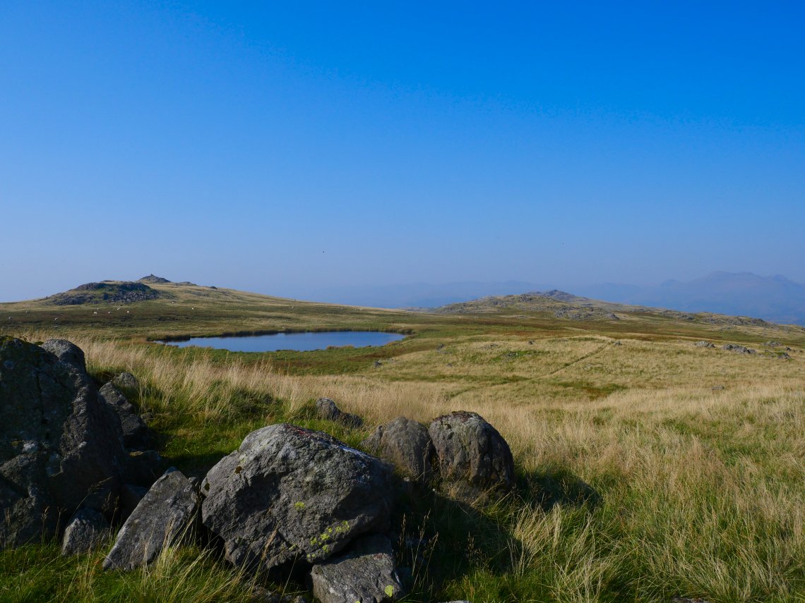
Holehouse tarn with Stainton Pike beyond. I am heading for the next top along which is Yoadcastle.
.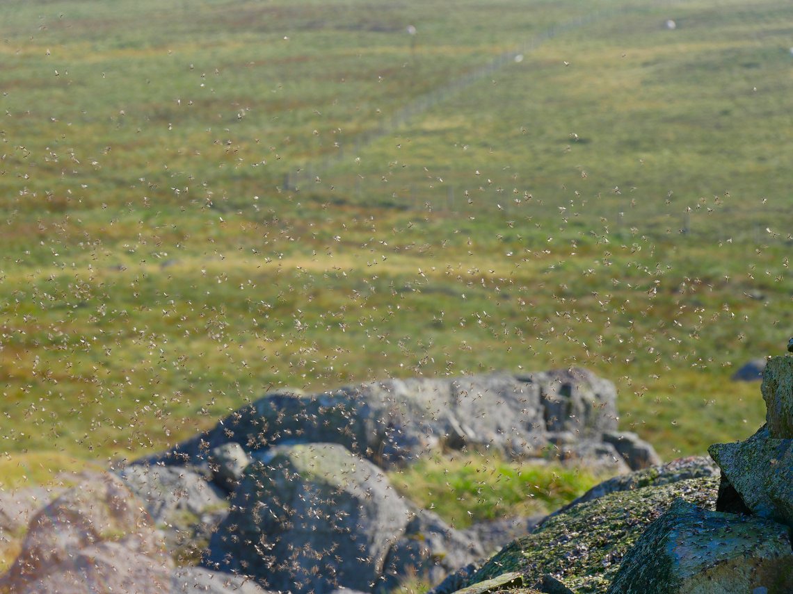
The ants seemed to congregate on every rock outcrop, I'm just glad they were just annoying ants rather than bitey ants.
Too many ants and not enough flat grass to camp on Yoadcastle so I headed to the next top along which is Woodend Height. This is Yoadcastle from a small tarn between the tops.
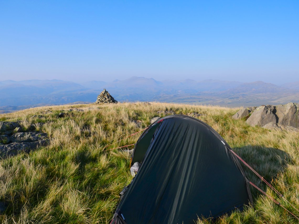
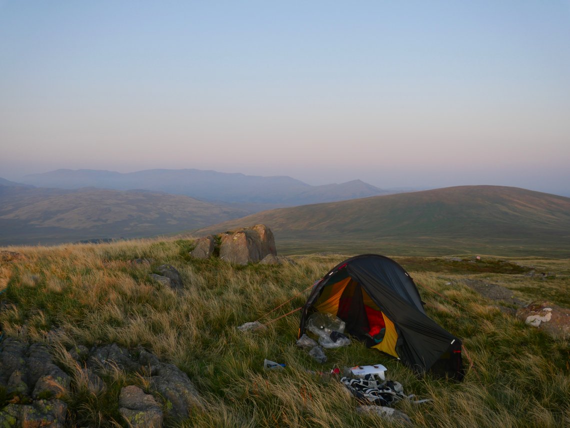
The Woodend branch of the ant colony were occupying the cairn on Woodend Height so I had to pitch a few yards away. The High fells are a little clearer but not much.
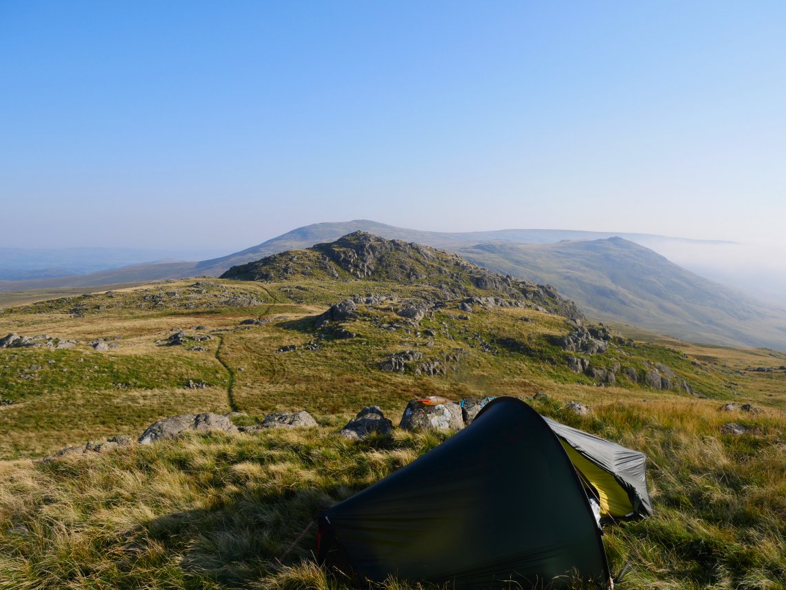
Looking back to Yoadcastle, Stainton Pike and Whitfell,
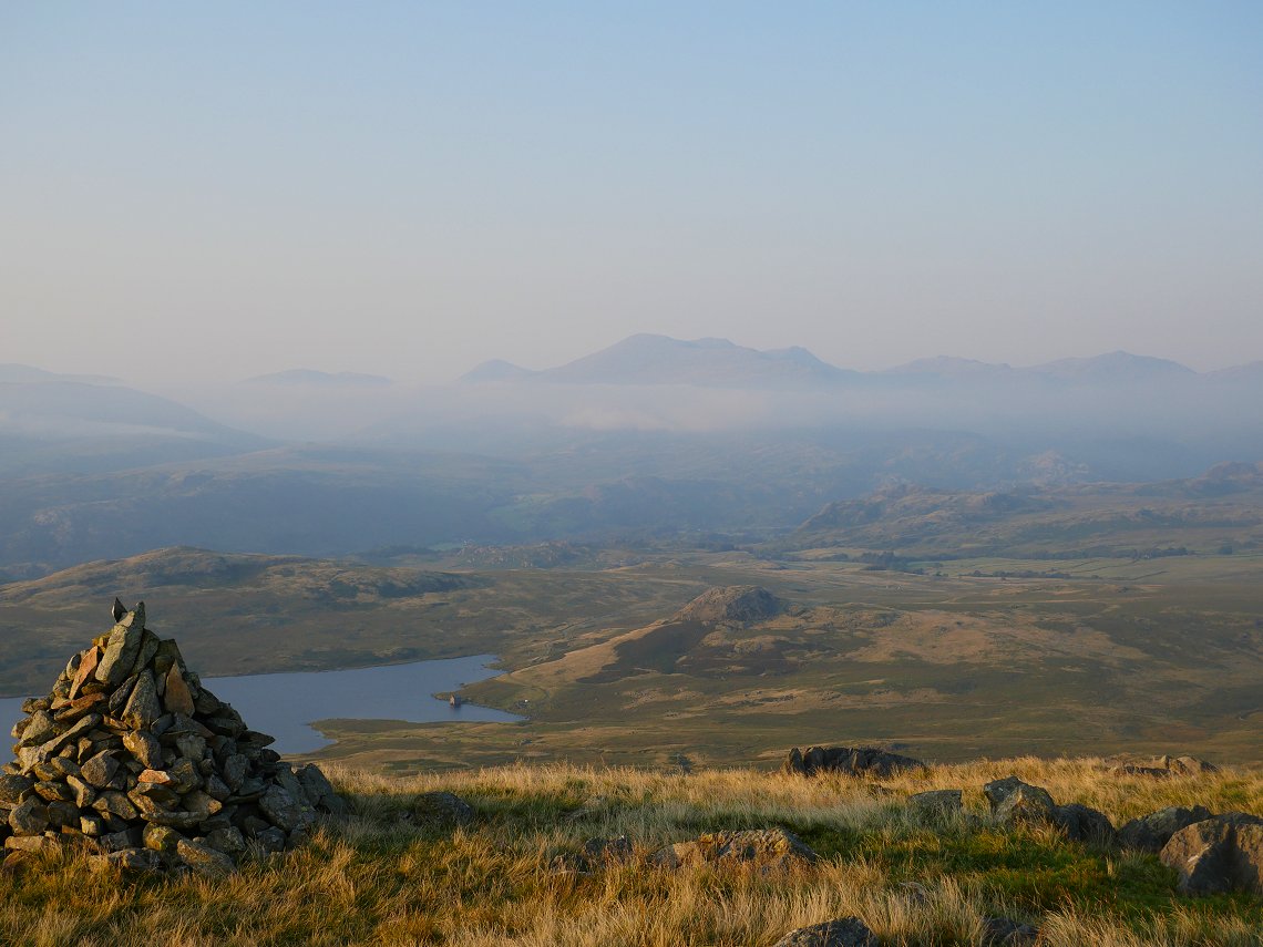
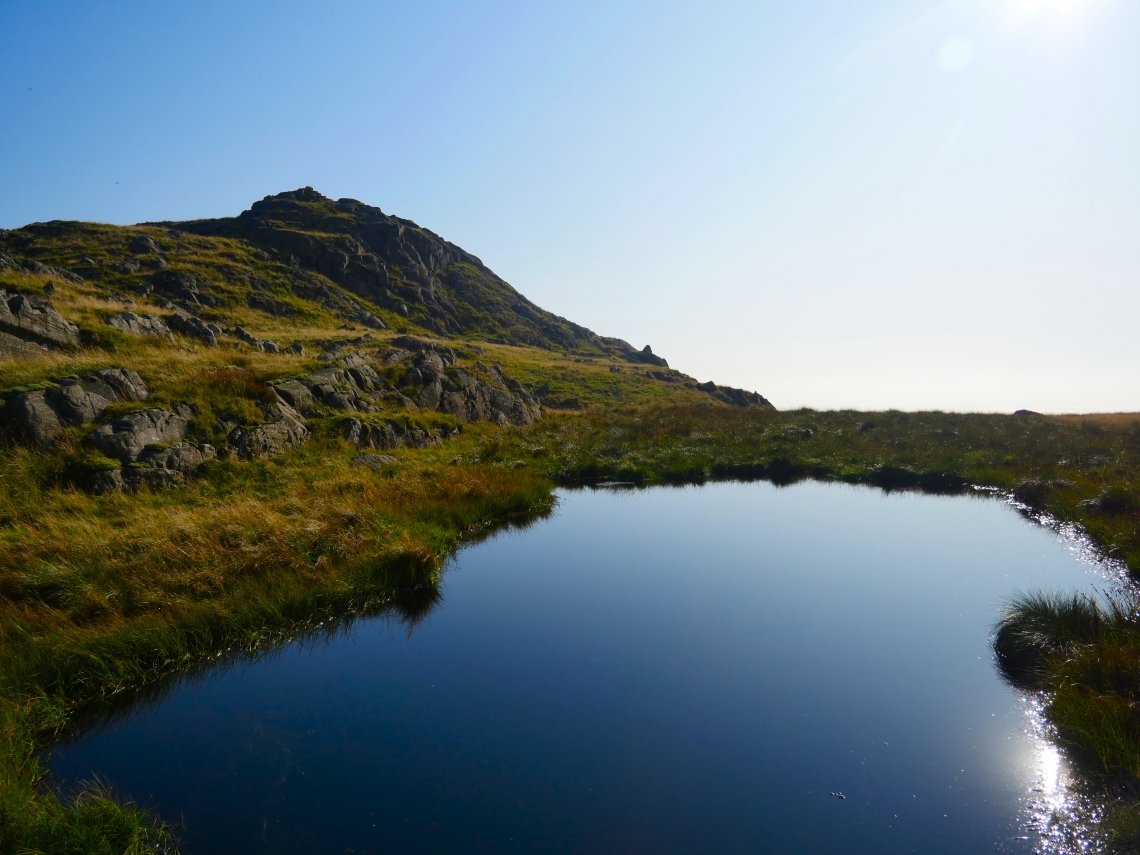
Eventually the temperature dropped and the breeze got up so the ants retired for the night allowing me to get a view of Devoke Water from the cairn.
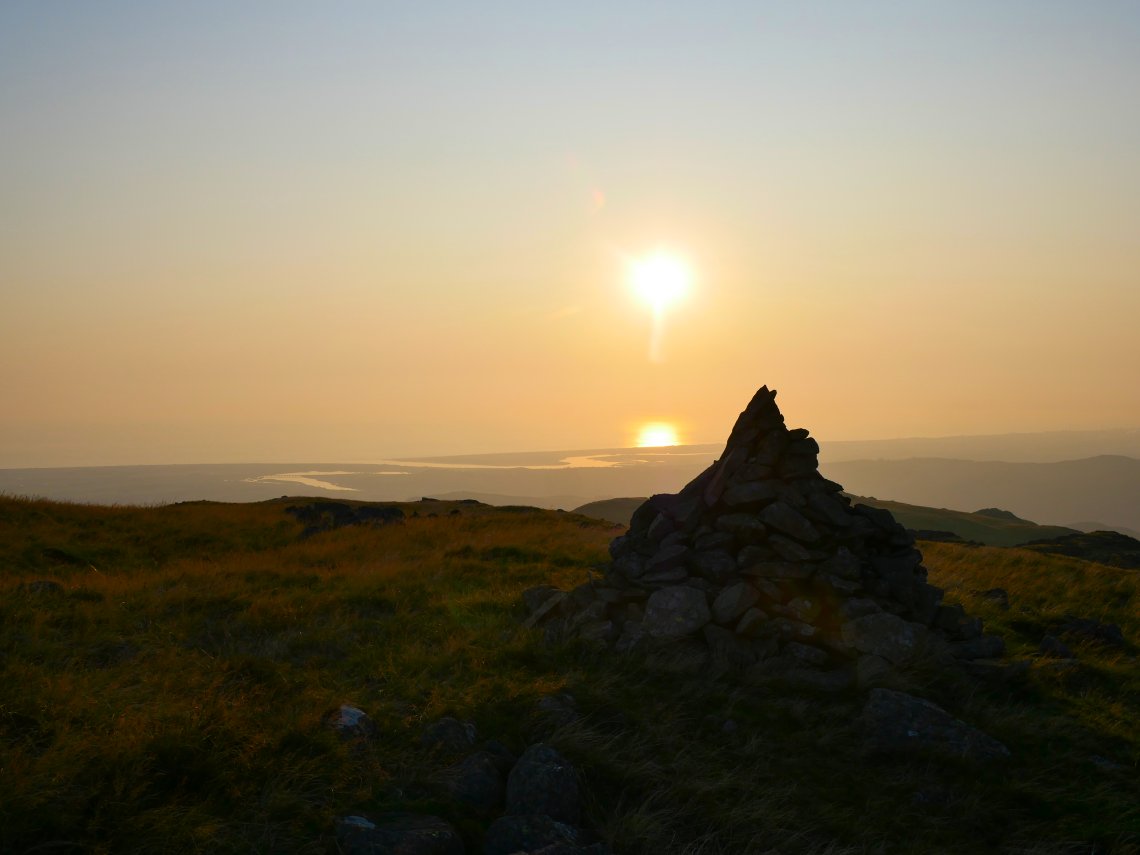
It was turning into a lovely late afternoon.
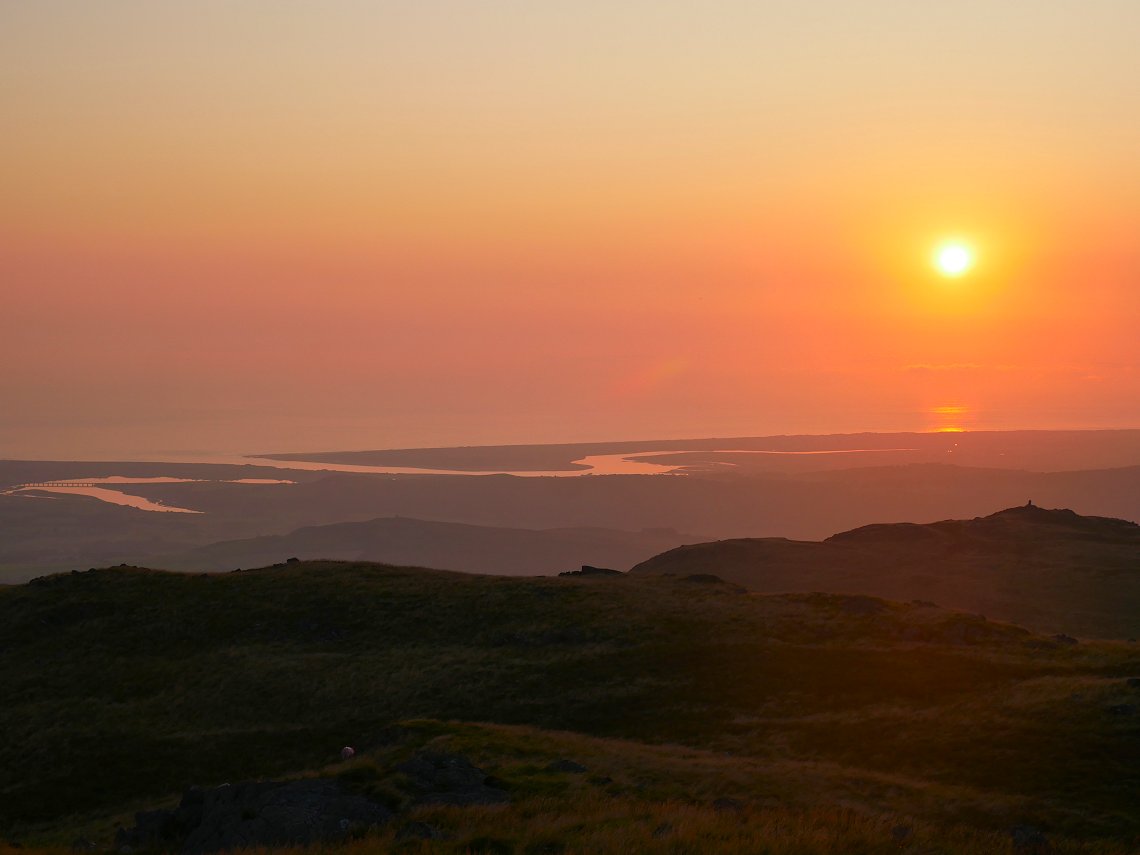
The Esk estuary. White Pike on the right.
Looking inland over the dome of Hesk Fell to Caw and the Coniston group.
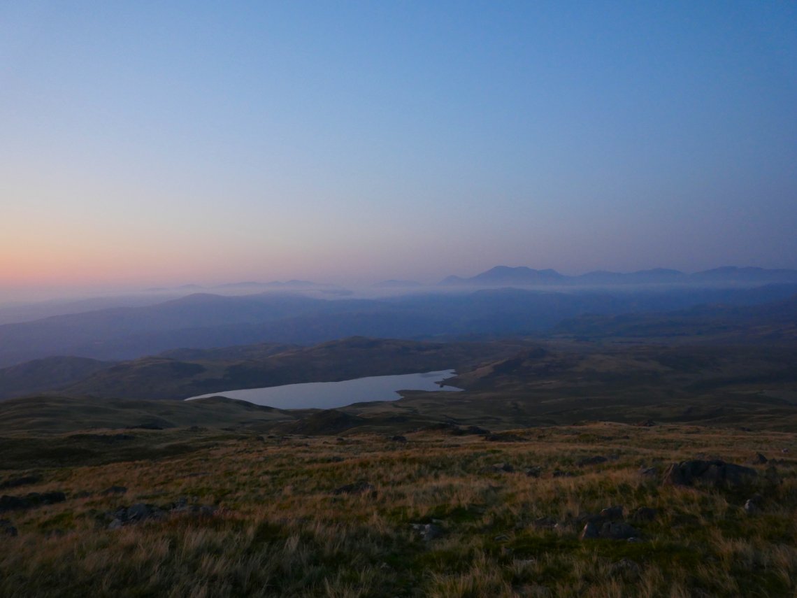
The high fells from the Haycock ridge on the left to Crinkle Crags on the right seem to be floating on a bed of cloud.
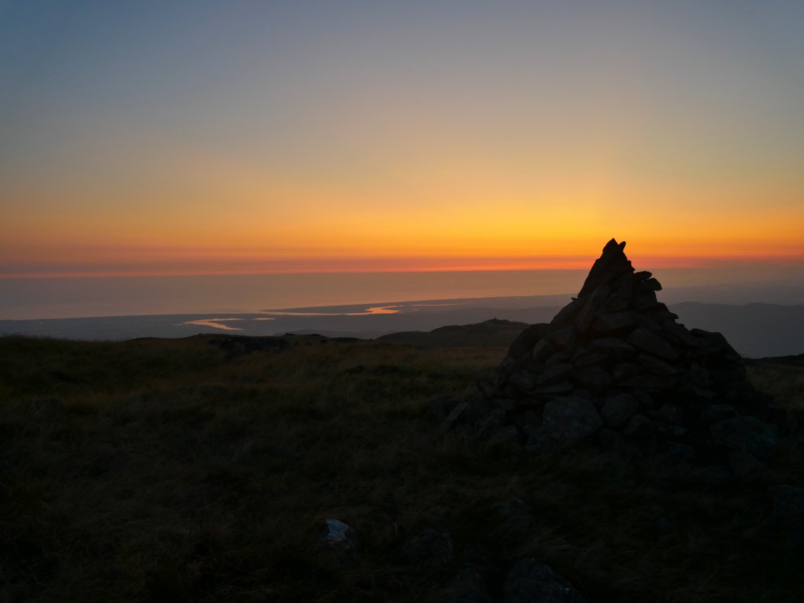
It's a quarter to nine at the end of a lovely day. The coast and most of the fells where clagged in on Monday morning so I retraced my steps back to my car.