WWW.KARLSWALKS.CO.UK
PICTURES AND TRIP REPORTS FROM MY WALKS IN THE ENGLISH LAKE DISTRICT
|
|
|
|
||||
|
|
|
|
|
|
|
|
E-mail - karl@karlswalks.co.uk |
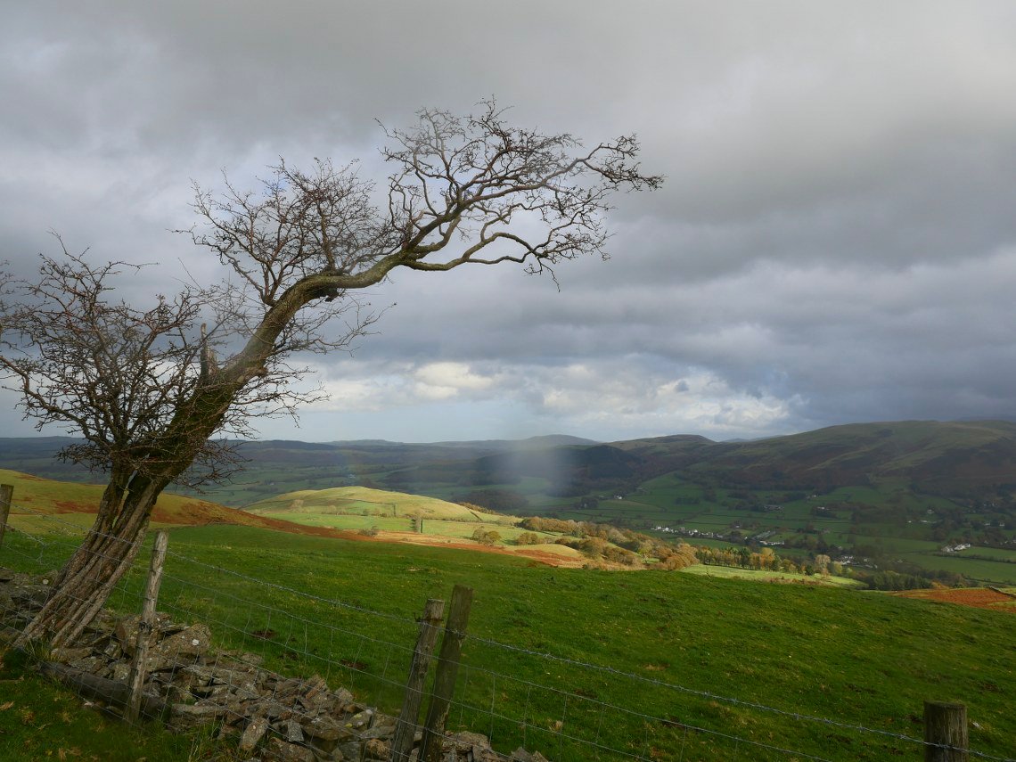
Two for the price of one this week. On the 30th we drove up to Low Lorton to add Low Fell and Fellbarrow to Sue's third round total. We set off from the same place that I had a few weeks ago and just like then we thought we had got away with a dodgy weather forecast but unlike my trip we were caught in a couple of really meaty rain showers but still had more sun than rain although it was very windy on the tops.
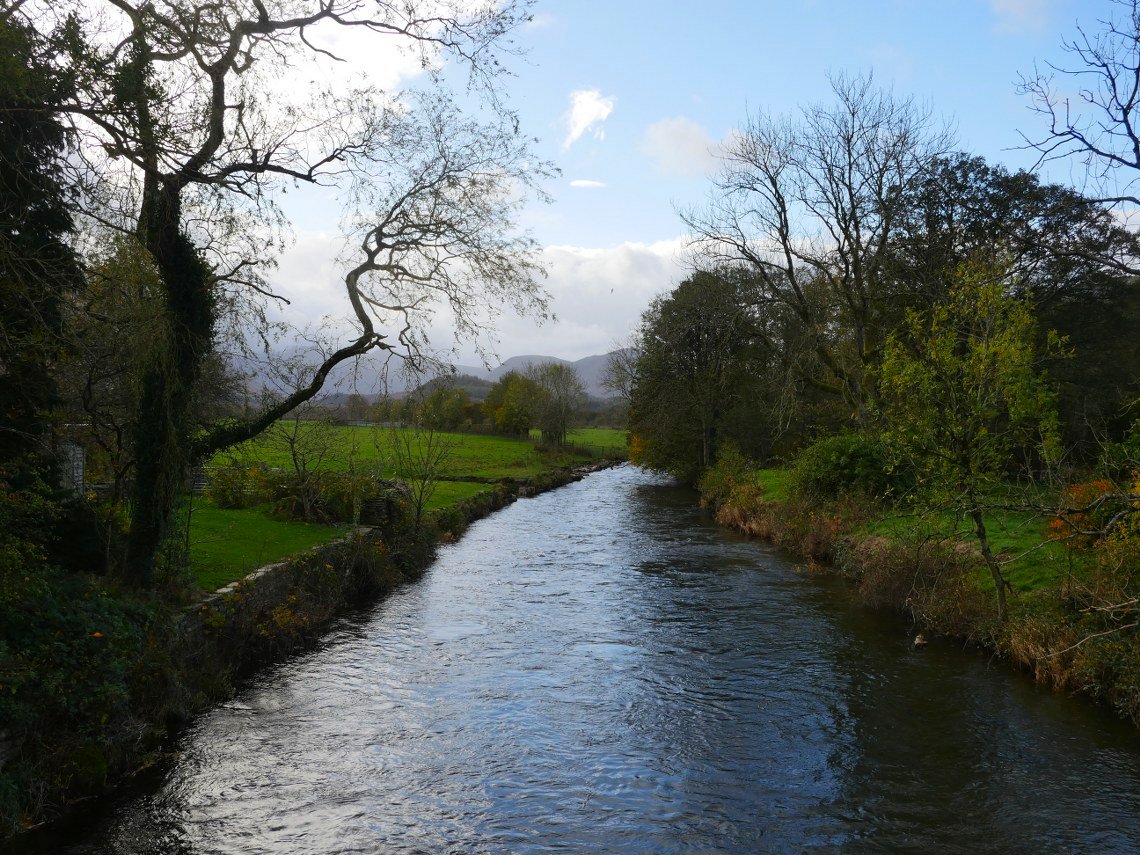
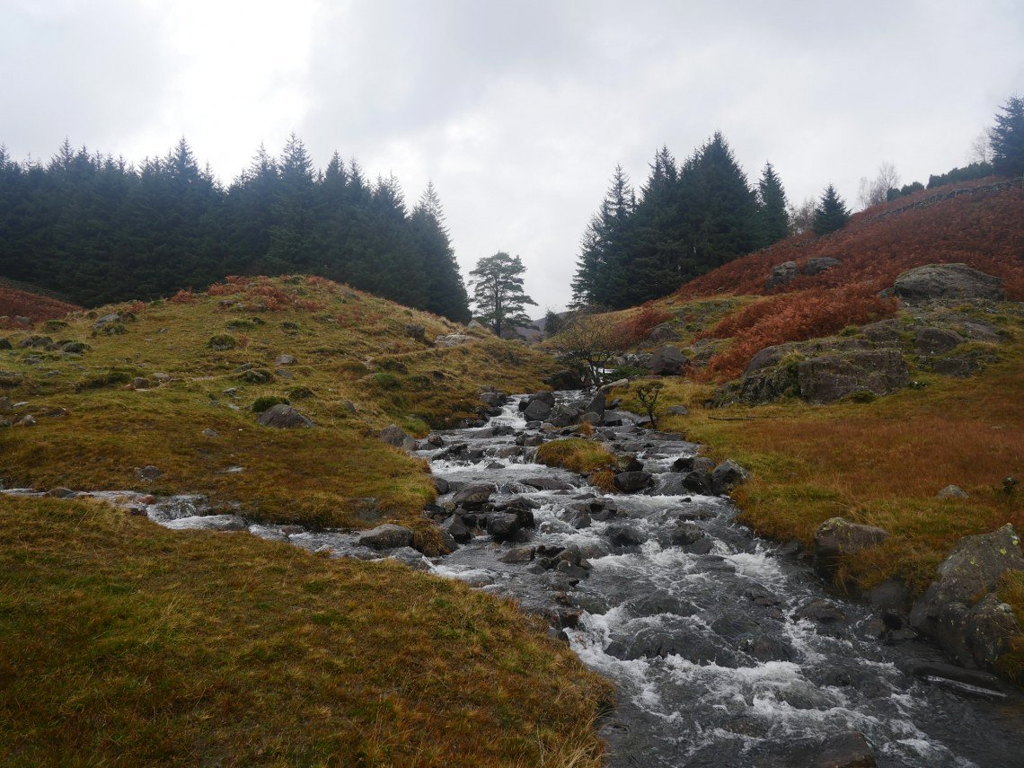
The Cocker was still running high but not quite at the level of a few weeks ago.
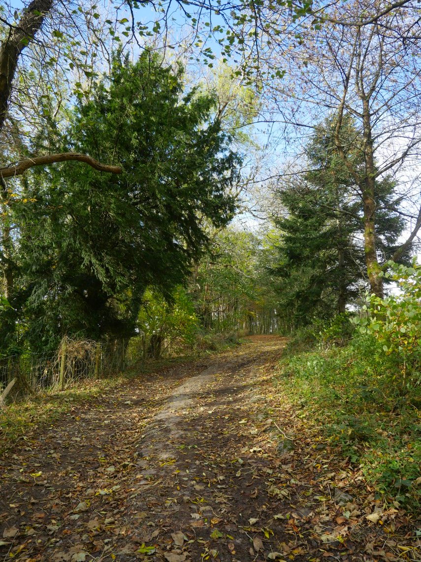
Climbing away from Lorton on the nice old lane.
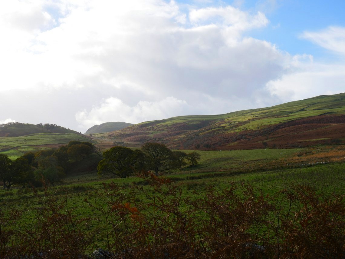
Low Fell is seen as the views open up.
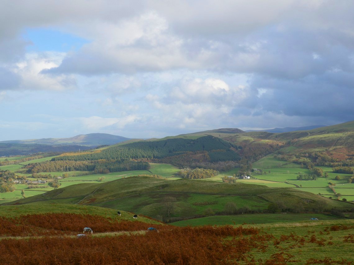
In the other direction Ling Fell is the hill above the trees with Binsey in the distance on the left and Skiddaw in the distance to the right
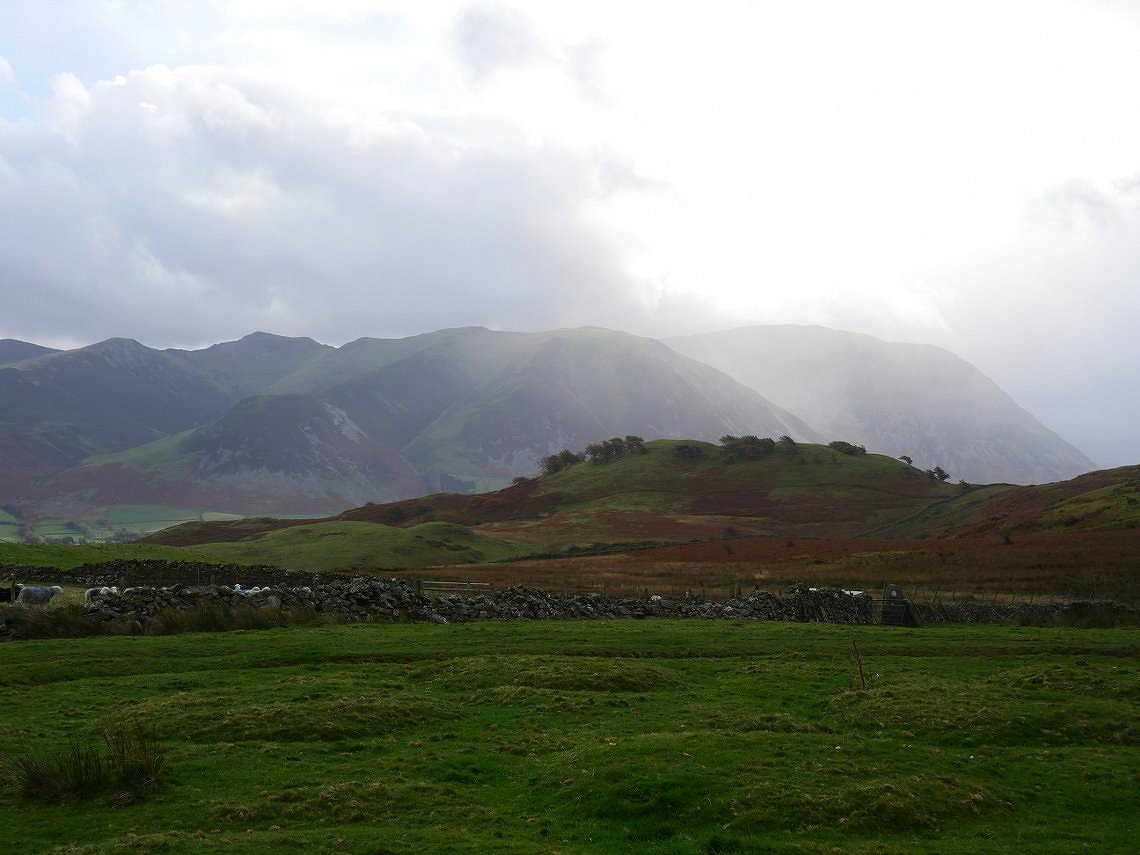
Whiteside and Grasmoor with Hopegill Head in shadow come into view from the path traversing the hillside to Hatteringill.
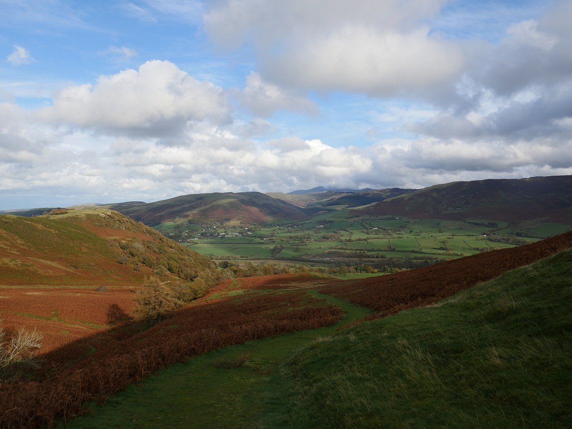
Sunshine and specs of rain over the vale of Lorton.
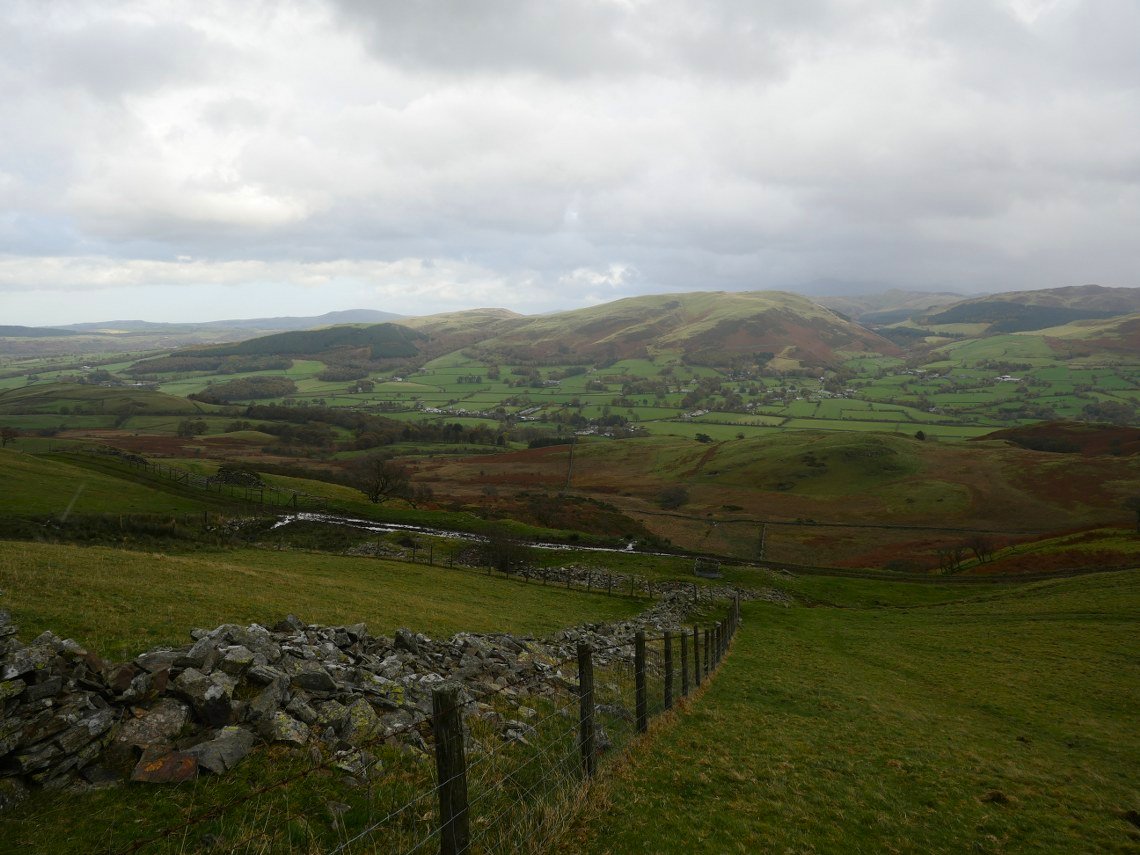
Climbing away from Hatteringill. About now the specs of rain joined together and it poured down all the way over to Fellbarrow.
But as we climbed Low Fell we were back in the sun.
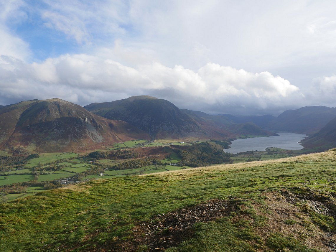
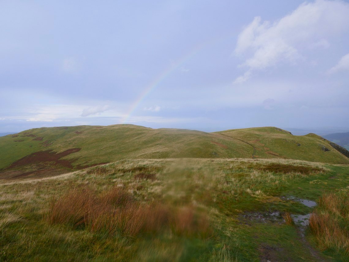
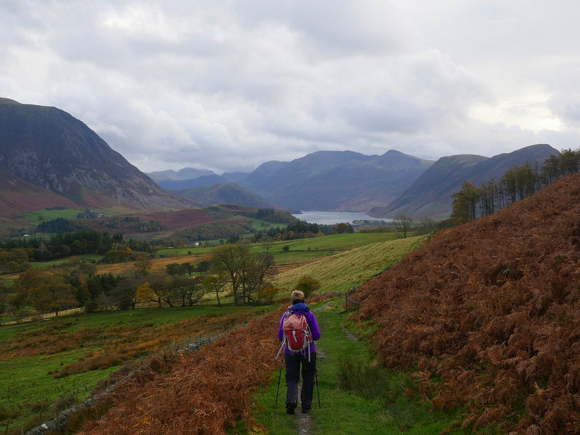
The classic view of Crumock Water and the fells around from Low Fell. It was very windy here and we were nearly blown over once or twice.
Quite a lot calmer though on the path which zig zags its way down to Thackthwaite.
.
And as you round a corner near the base of the fell you get a pretty good view.
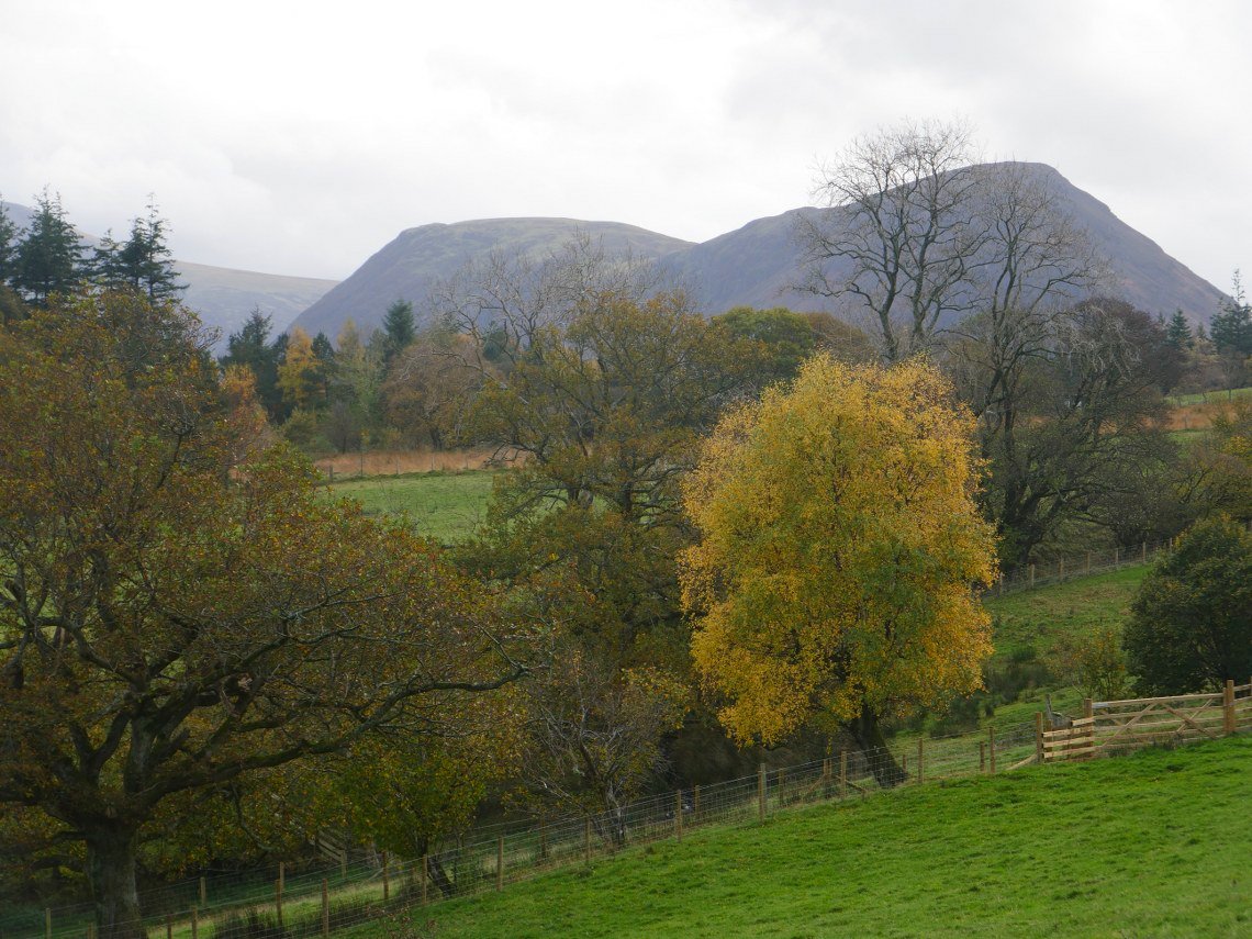
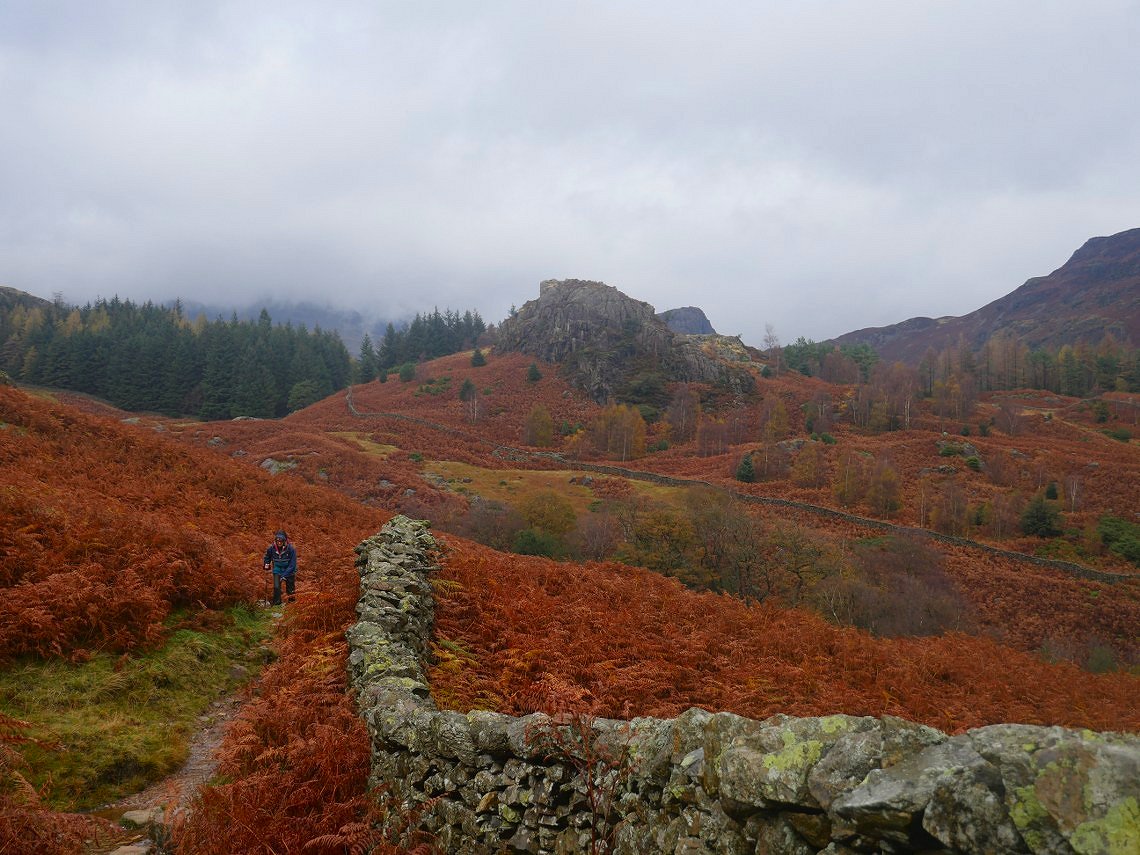
Autumn colours in full effect as we near Thackthwaite.
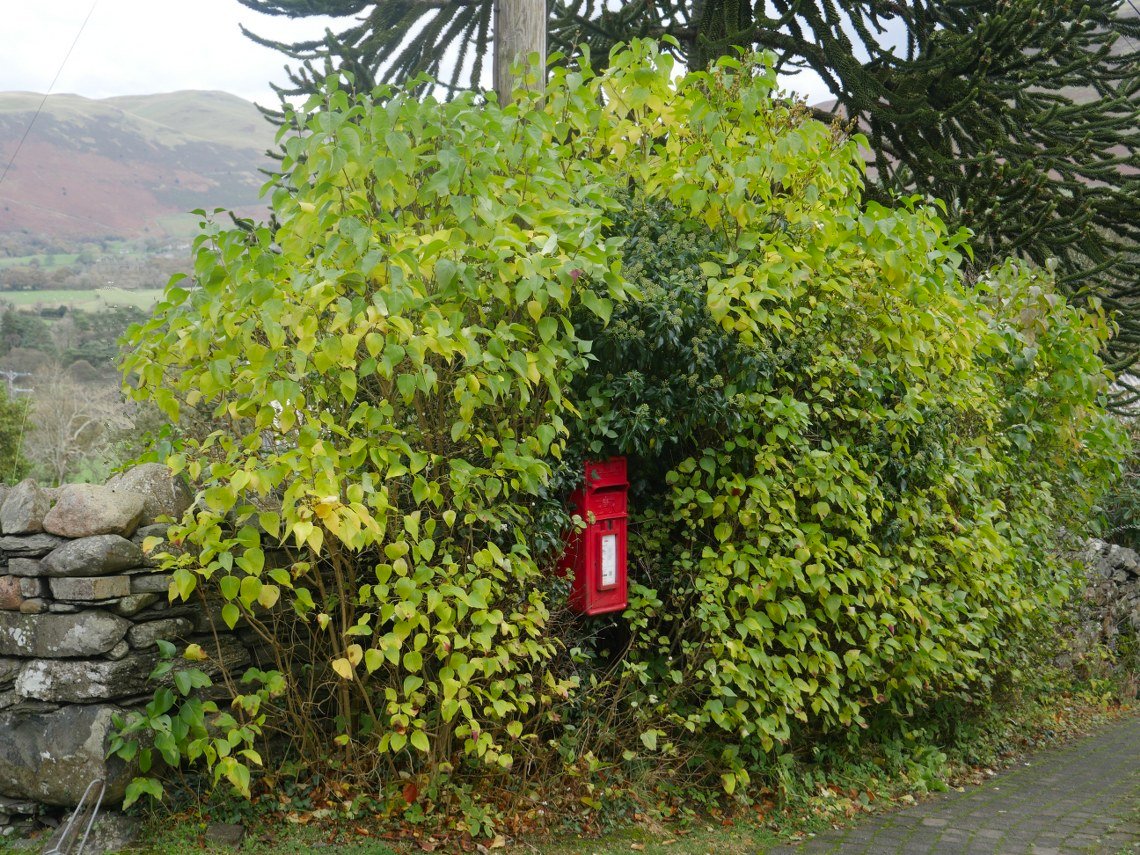
Which I'm not sure is even big enough to be called a hamlet, although they have a post box.
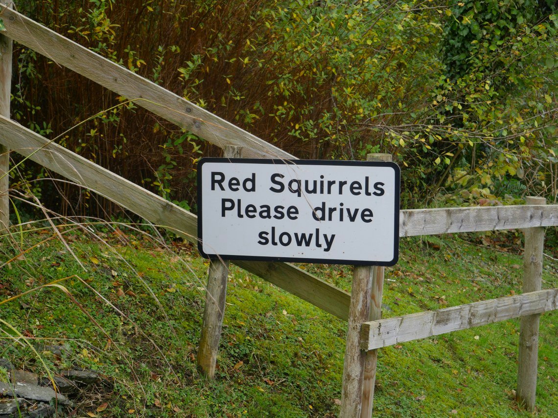
And a problem with speeding squirrels.
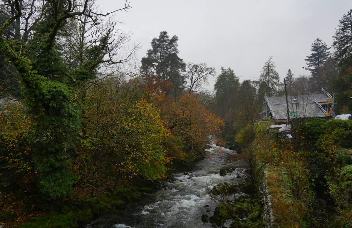
Fast forward seven days and again the weather forecast is not the best, but suited and booted we set off from Elterwater to climb one of my favourite fells. This is Great Langdale beck from the bridge in Elterwater.
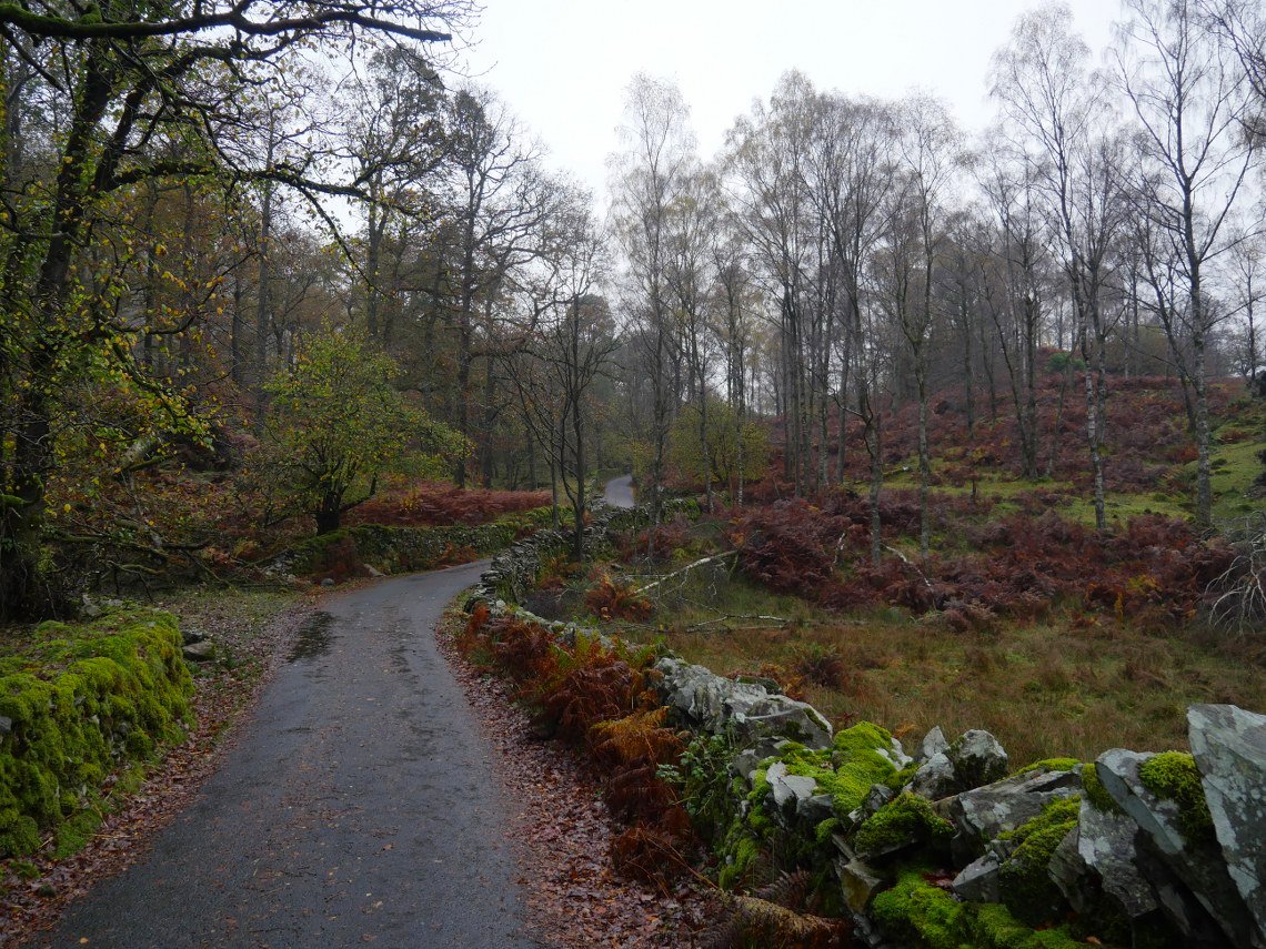
Lovely winding lane through Sawrey's wood.
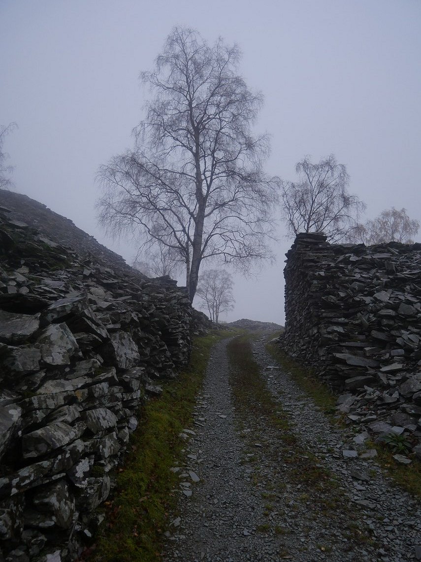
You branch off left from the lane to climb the flanks of Lingmoor on the old quarry track. This is the rock gate from where in good weather the views open up.
But not today. Although Chapel Stile and Burlington quarry can be just made out.
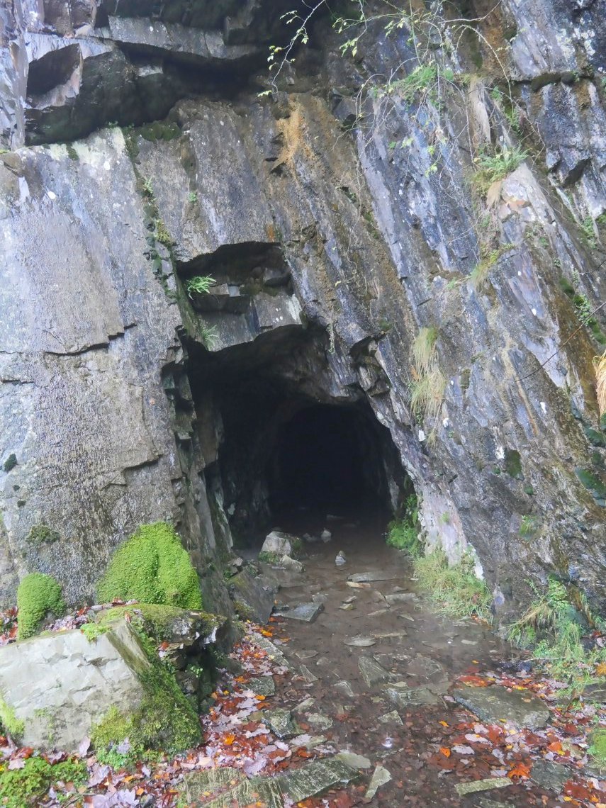
I always like to go and have a look at the old level just off the path.
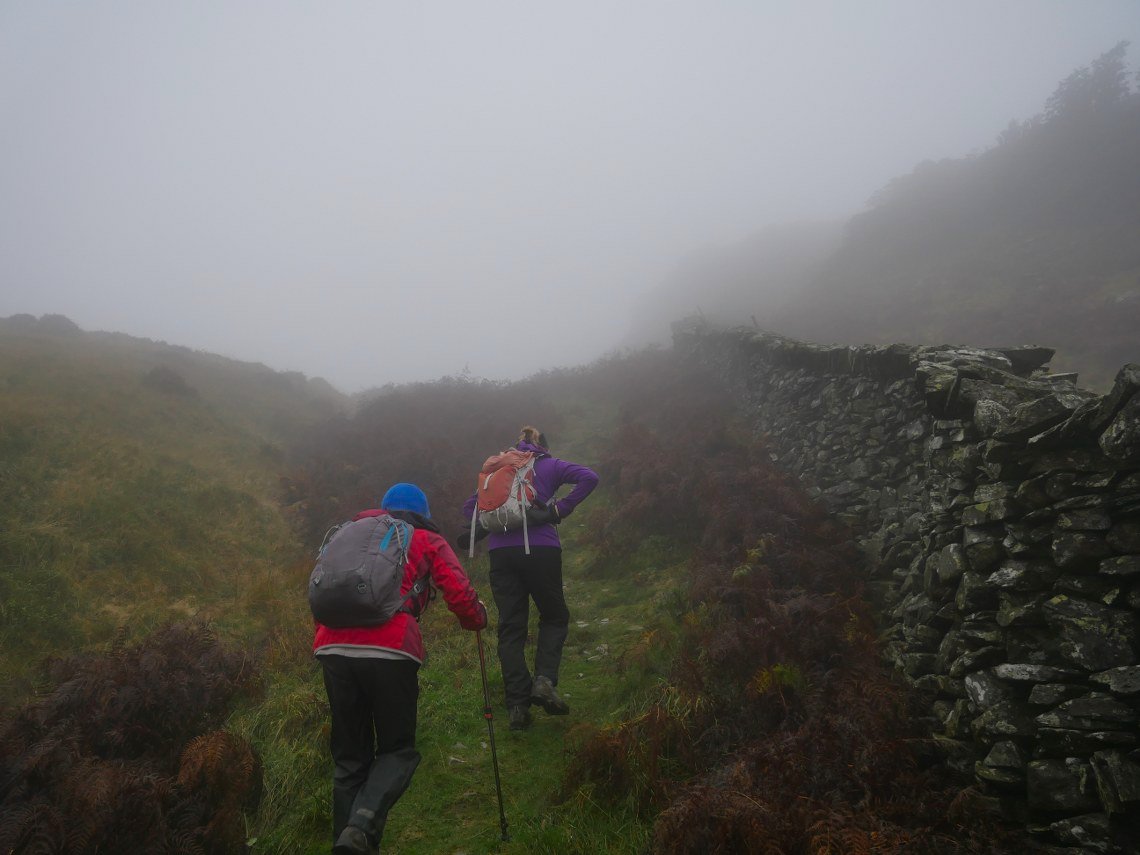
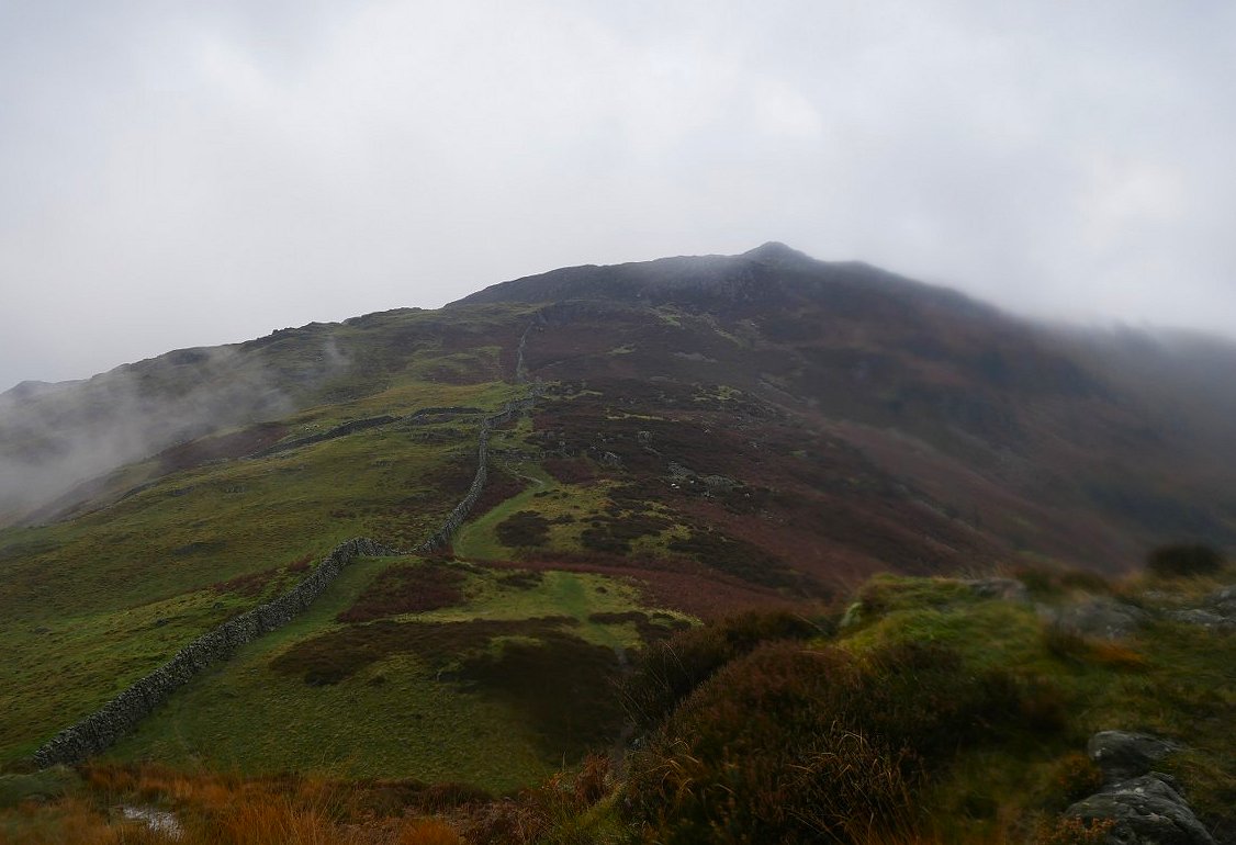
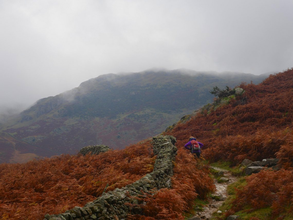
Lingmoor is a good fell to climb in the mist as you can follow the wall ( mostly ) all the way to the top. Here Sue and Lynn are doing just that.
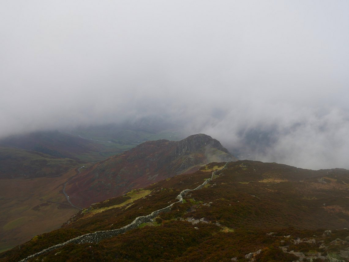
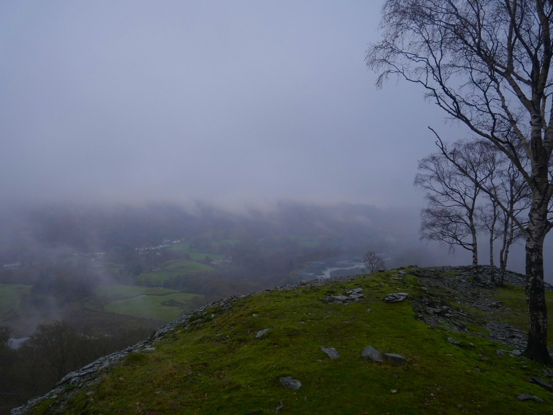
Nothing to see from the top but as we descend we start to get a view of Side Pike below us.
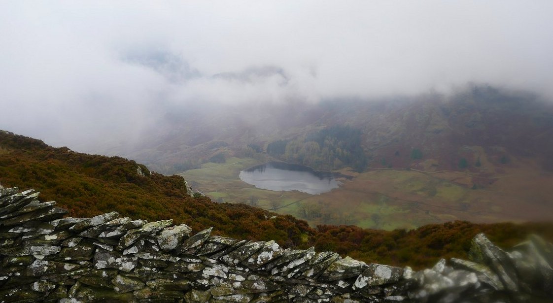
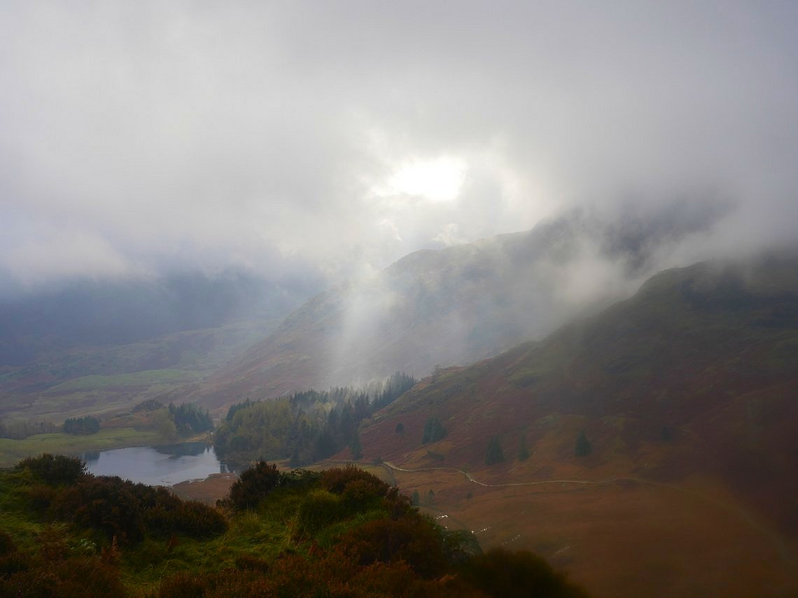
And over the wall, Blea Tarn. Where we will be later.
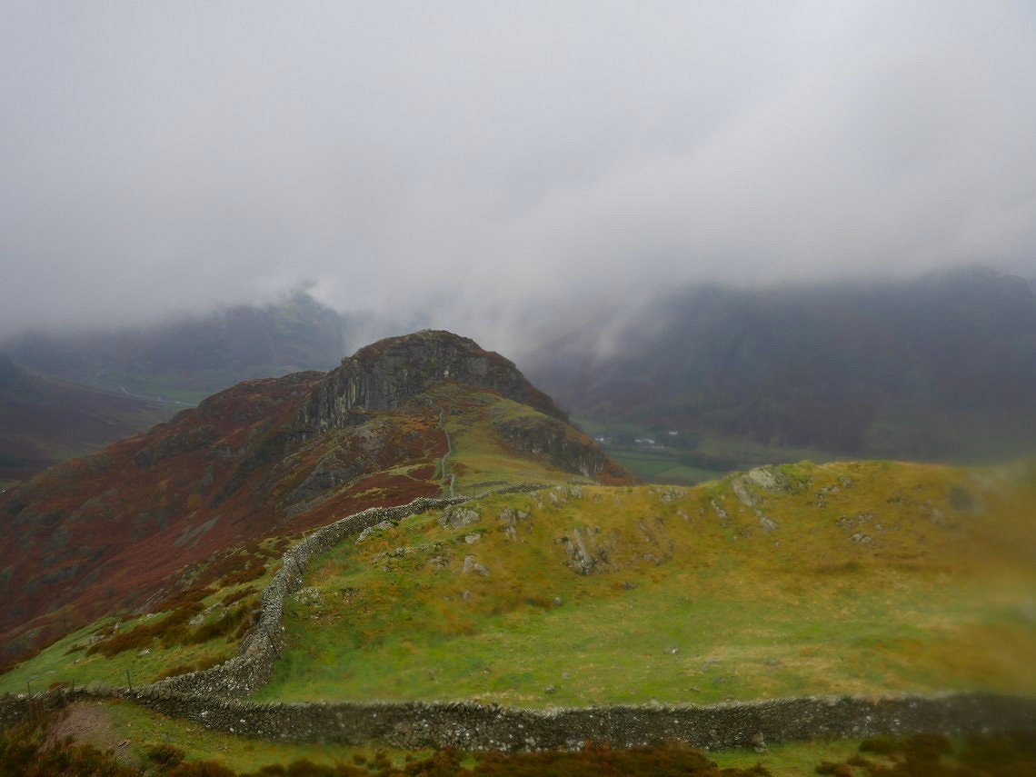
Getting closer to Side Pike and the valley floor can be seen now.
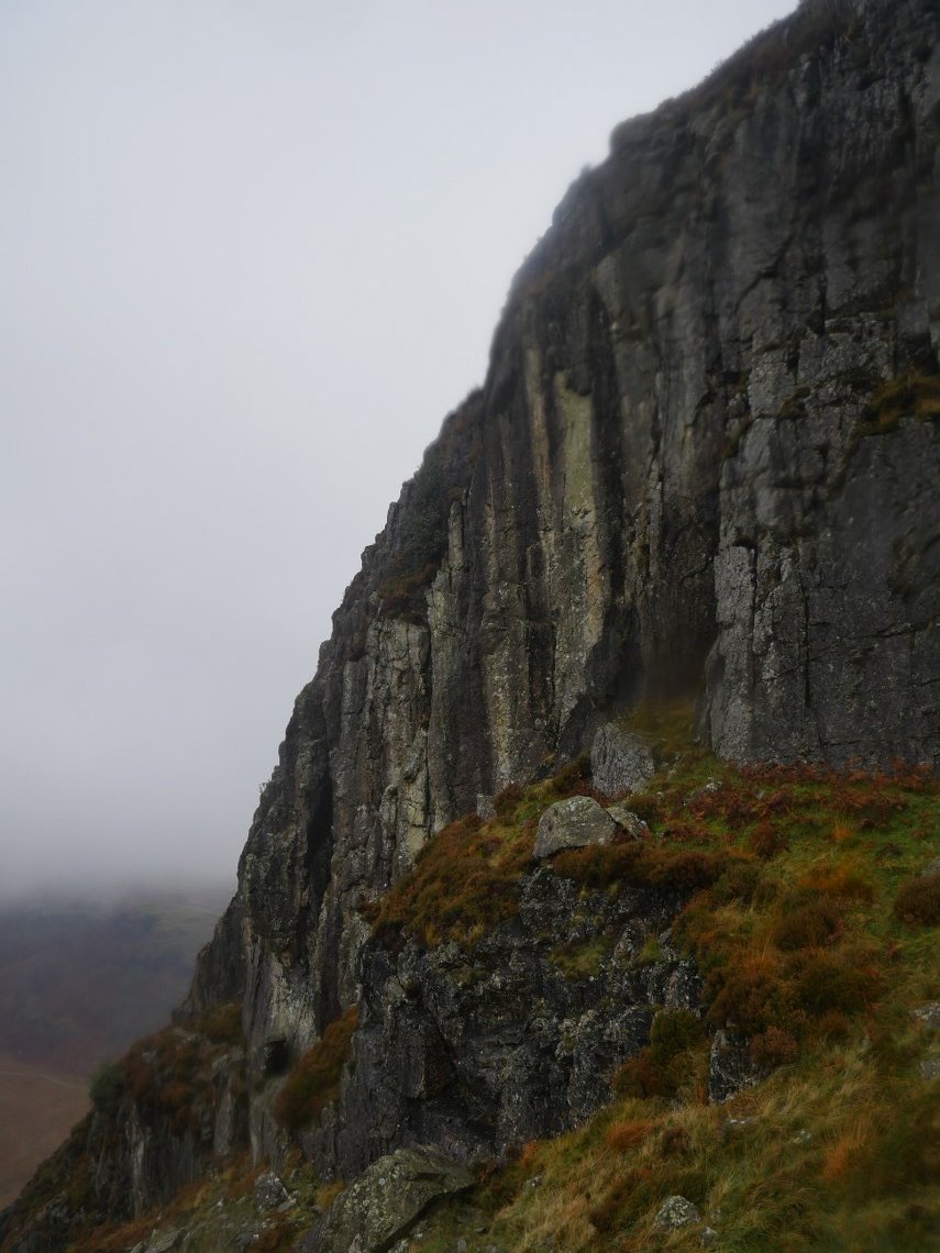
Our path takes us under the large buttress of Side Pike and through the squeezer rock which I think must have moved slightly closer together over the years as I only just squeezed through.
Looking back up to the top of Lingmoor.
We had a dramatic sky over Blea Tarn for a minute or two.
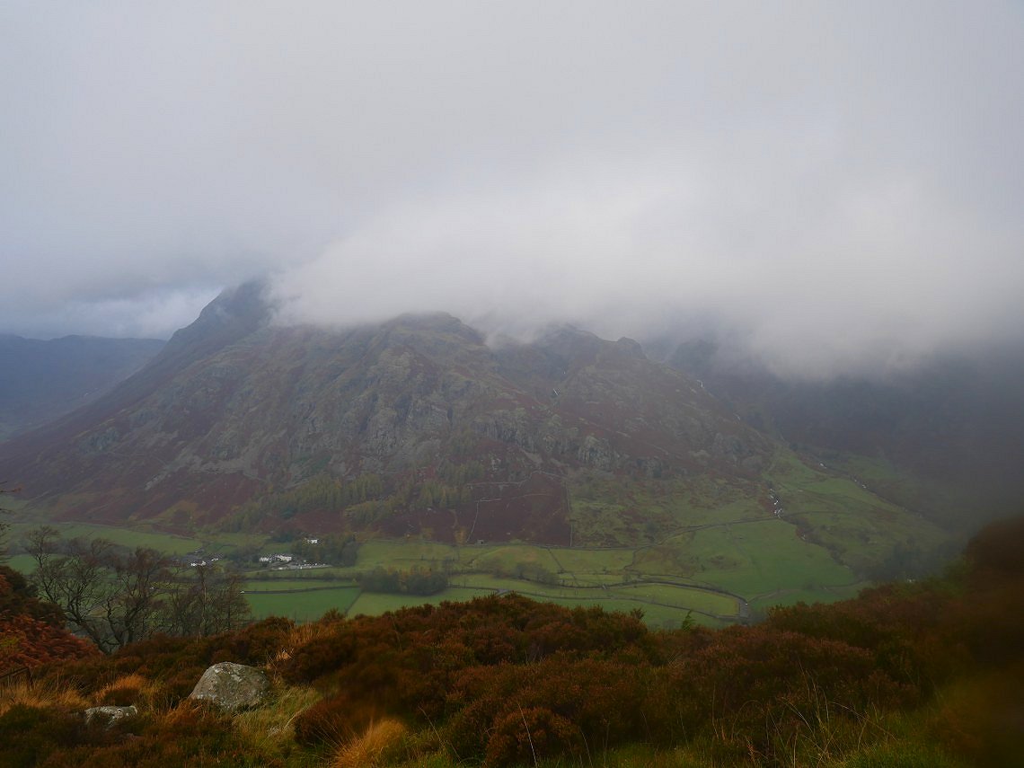
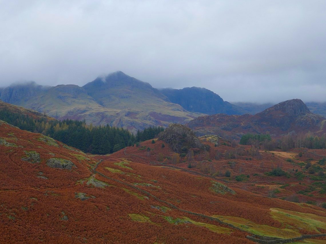
Lingmoor is famed for it's views of the Langdale Pikes but today they were a bit shy and we only got a glimpse through the cloud.
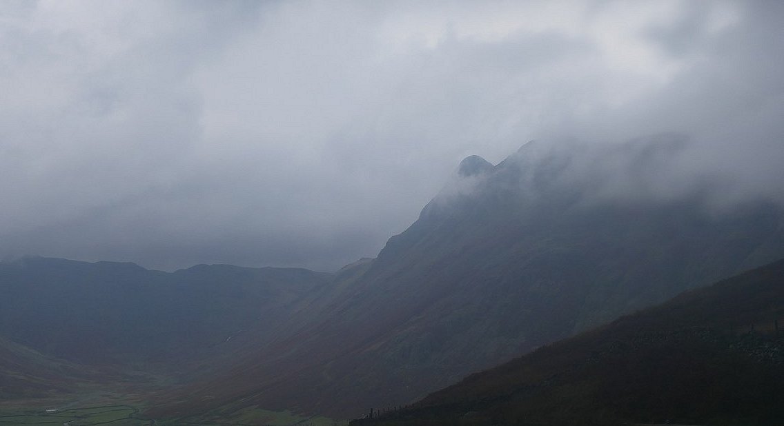
Pike of Stickle and the head of Mickleden can be seen though from the road crossing at the top of the pass.
A quite heavy squally rainstorm caught us as we passed Blea Tarn so we sheltered in the trees until it passed. This is the outflow from the tarn.
Wet Side Edge seen from the just before Blea Moss.
A look back to the small outcrop of Tarn Close Crag.
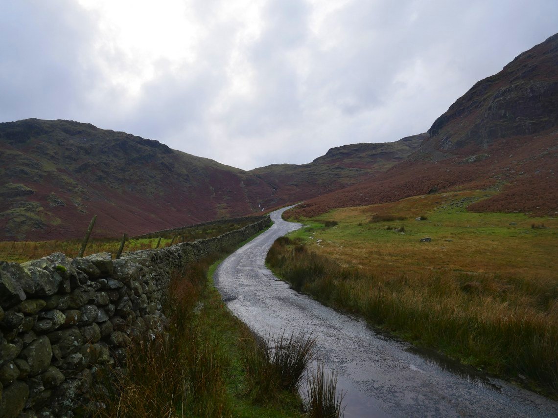
After crossing the moss we reach the Wrynose Pass road.
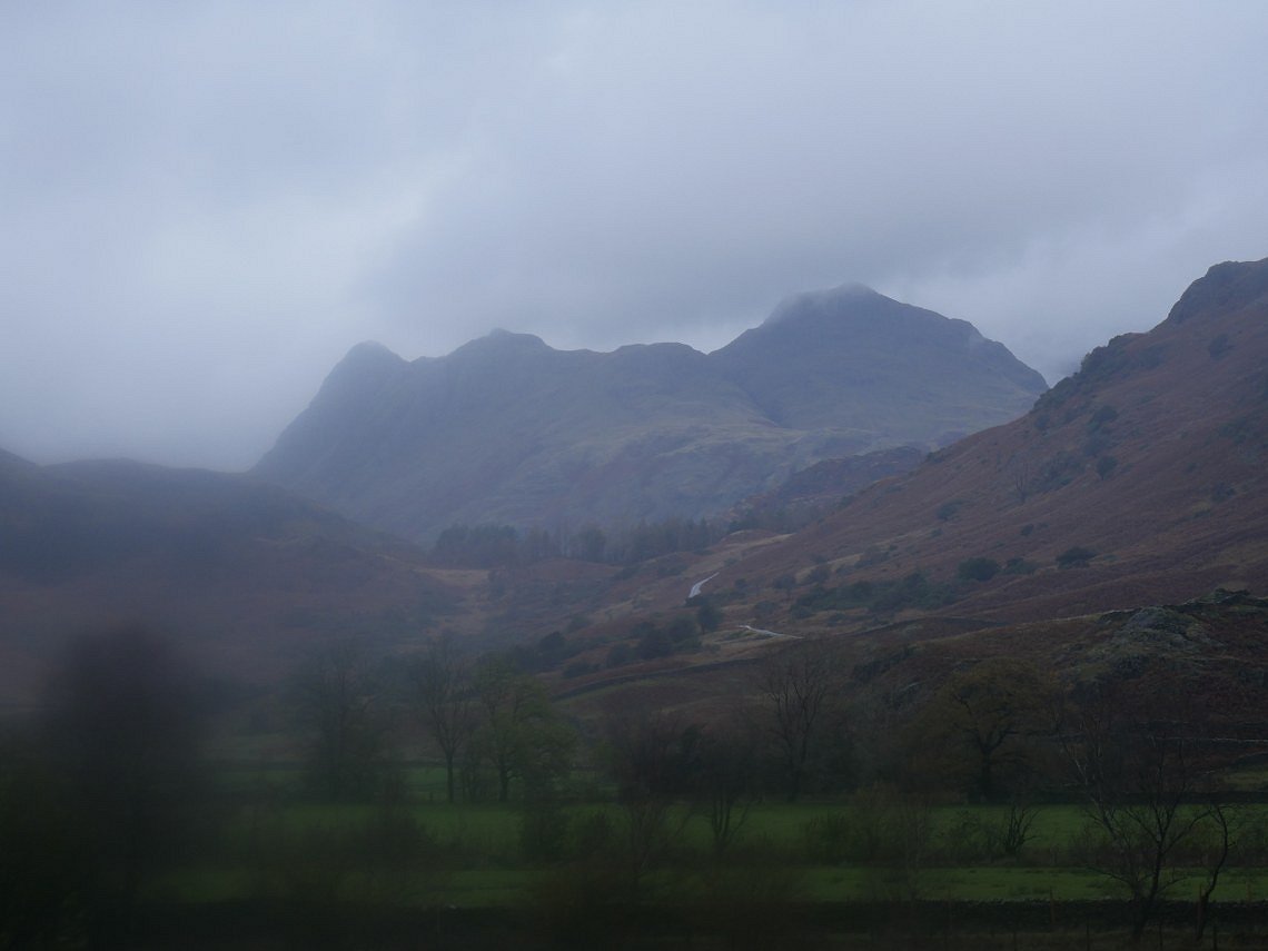
Tarn Close Crag in the centre with Side Pike to the right and Harrison Stickle and in Shadow Pavey Ark.
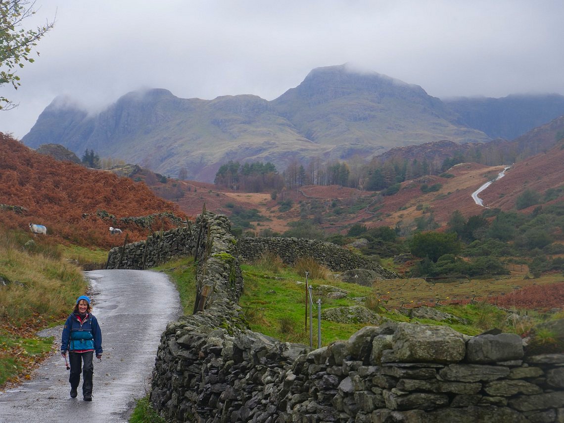
It's stopped raining now and it's not too cold so Lynn's enjoying the stroll through Fell Foot
Just after we passed through Fell Foot it did start to rain and this time with feeling but strangely the Pikes were as clear as they had been all day. We squelched our way back to Elterwater giving our waterproofs a good test
Previous walk - Around Hebden Bridge - Next walk - Windermere to Staveley