WWW.KARLSWALKS.CO.UK
PICTURES AND TRIP REPORTS FROM MY WALKS IN THE ENGLISH LAKE DISTRICT
|
|
|
|
||||
|
|
|
|
|
|
|
|
E-mail - karl@karlswalks.co.uk |
The forecast for the week-end was too good to ignore so although I was busy on Saturday morning I still loaded up the tent and headed for the station. Unfortunately the rail replacement bus was delayed due to an accident which caused me to miss my connections so I arrived in Windermere about an hour and a half later than intended. I decided just to walk as far as I could before dark then camp wherever I'd got to.
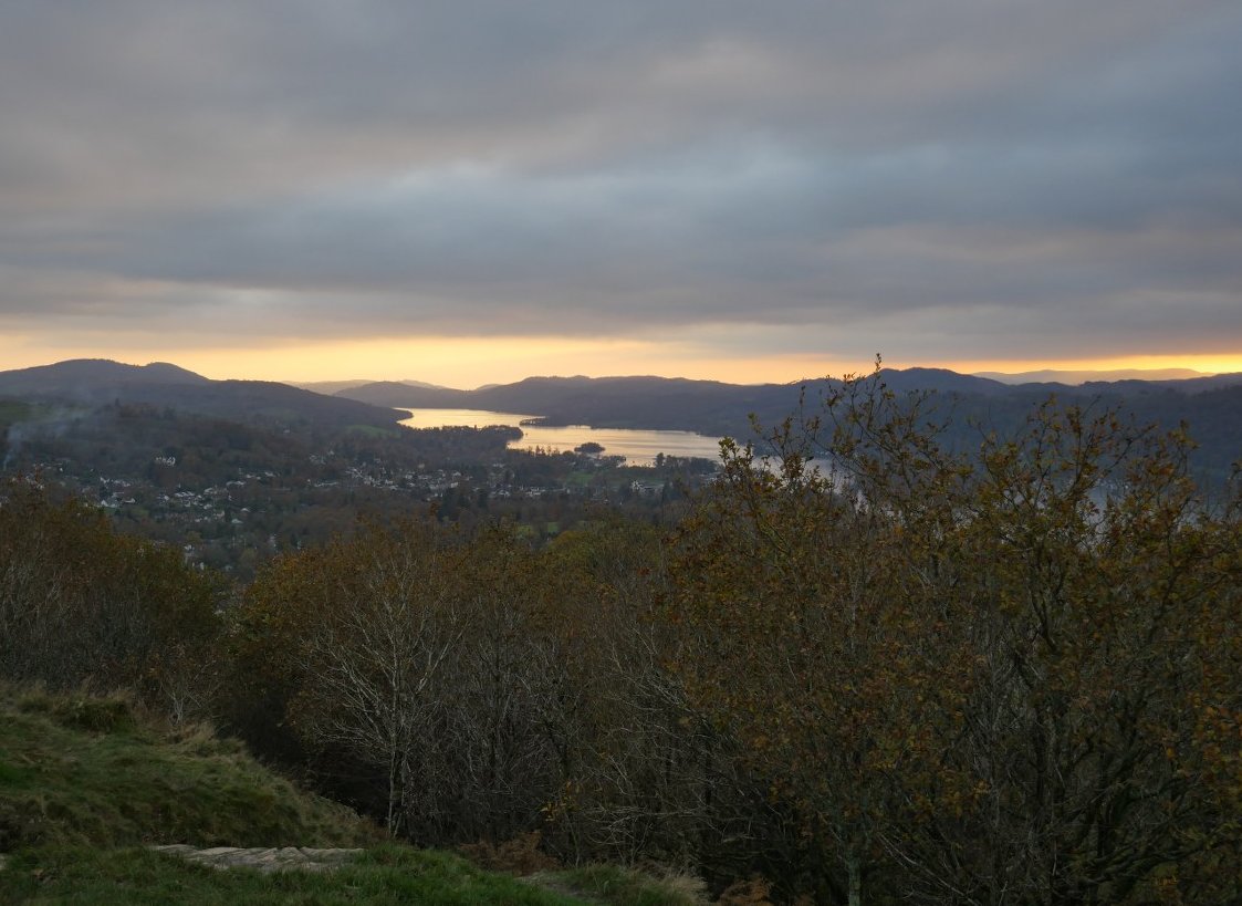
First job was to get out of the town and on to Orrest Head, Windermere is already reflecting the setting sun.
A nice winter sky over the fells to the north.
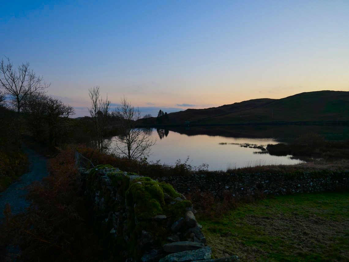
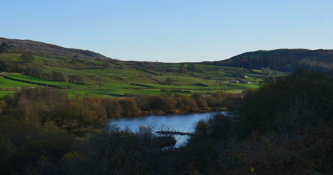
From Orrest Head I made my way across the fields and along the lanes to Moor Howe. This is Dubbs reservoir from Dubbs road.
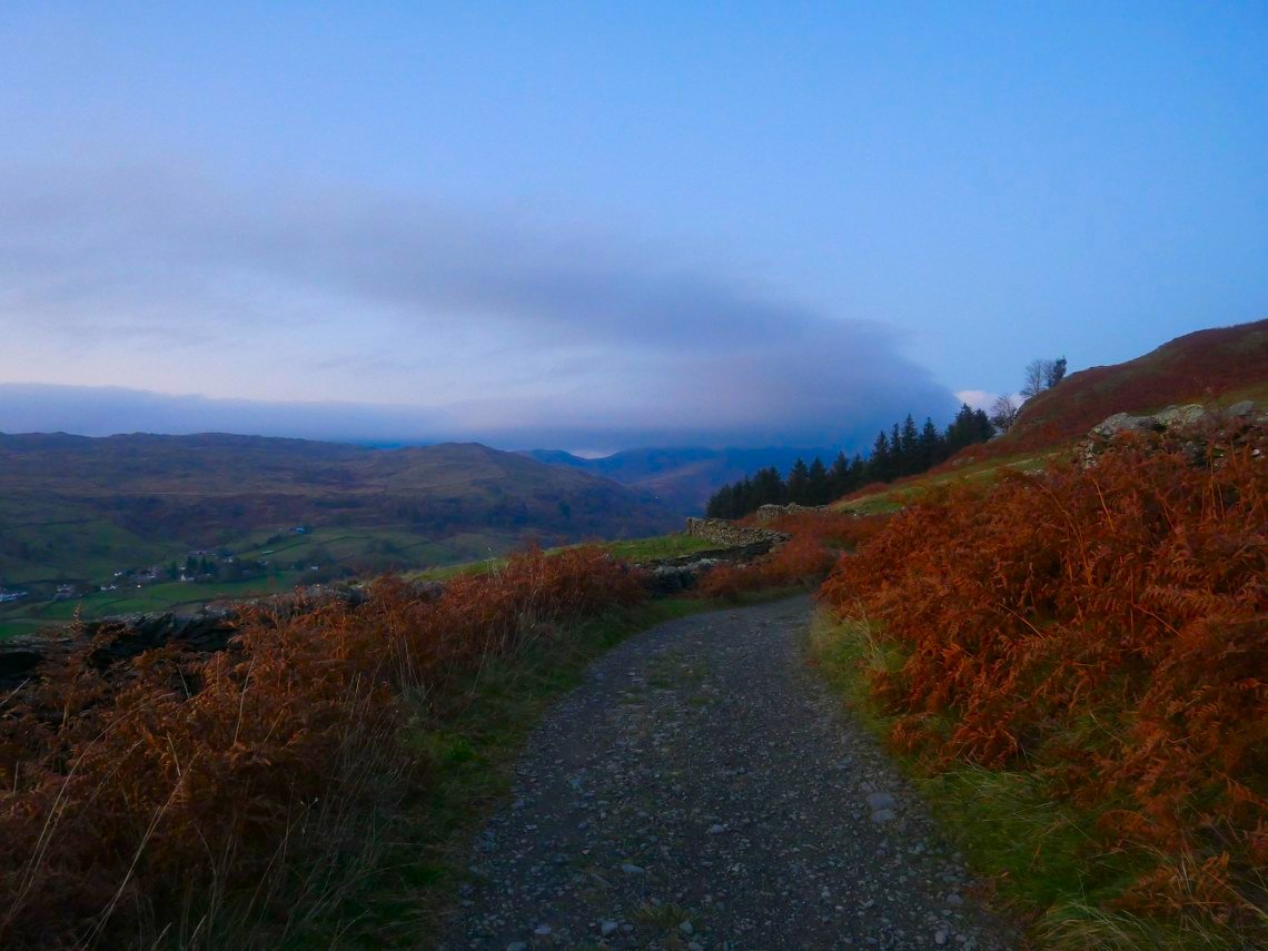
Further along Dubbs road looking along the Troutbeck valley. Around here I left the track and climbed up the hillside to a nice little outcrop on Applethwaite common.
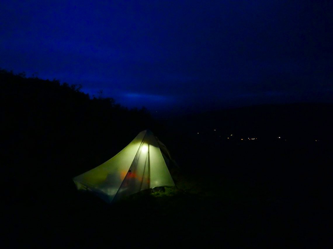
Obviously when you camp after the clocks go back you are going to spend a lot of time in the tent but I quite like just relaxing, perhaps reading and really just spending the time busy doing nothing.
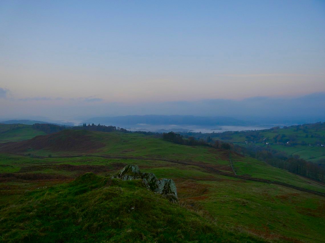
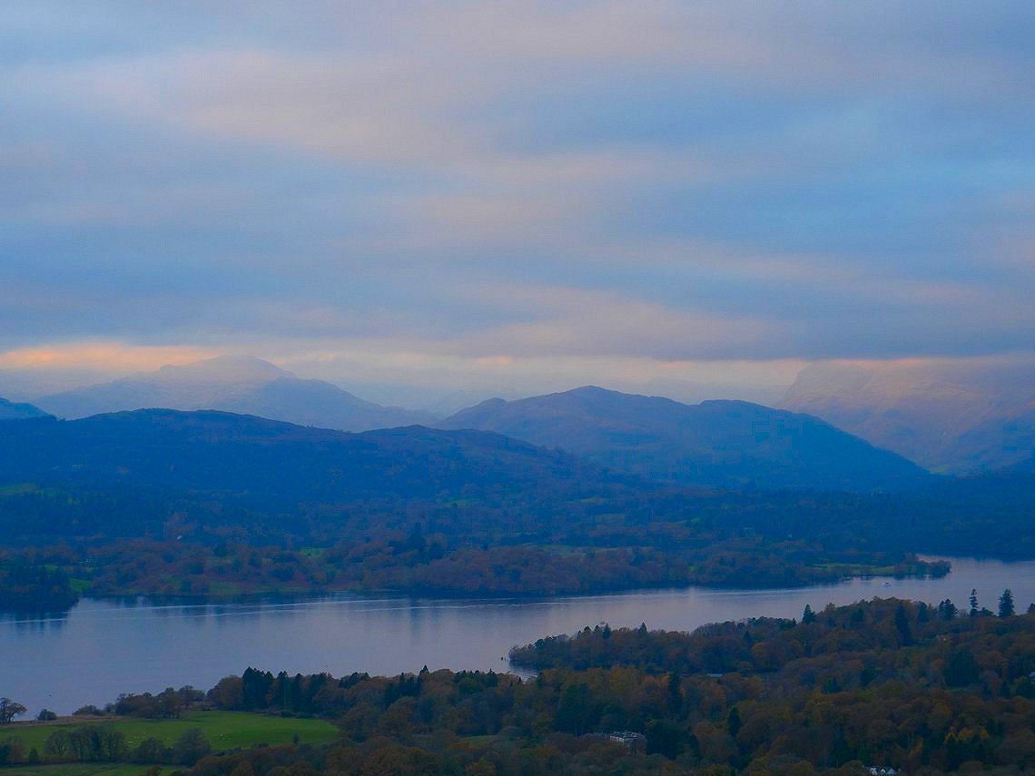
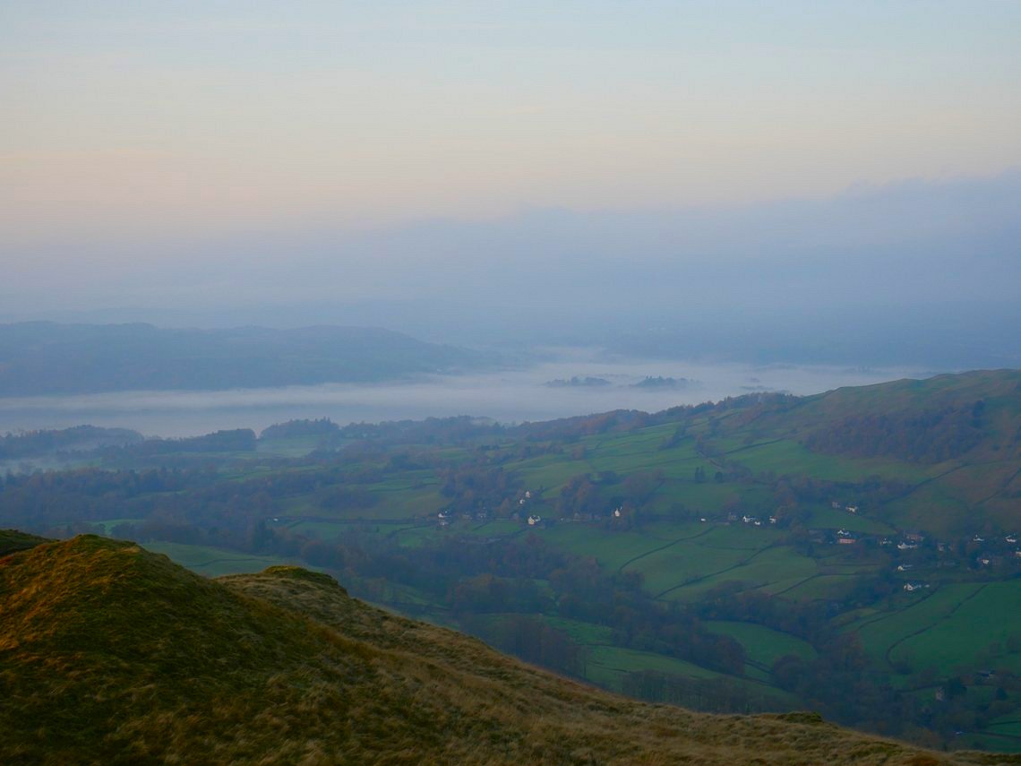
I had a ticket for the 4pm train so was up as soon as it got light. There was a bit of an inversion but only over the low lying land around Windermere.
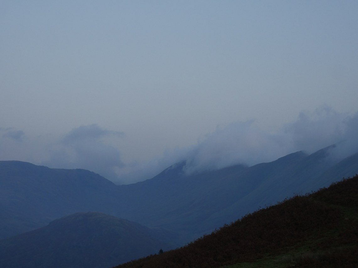
The Ill Bell ridge ( where I was heading later ) was covered in a big bank of cloud.
Zooming in on the inversion. It was a bit of a dull morning so I quickly packed up and climbed to Sour Howes.
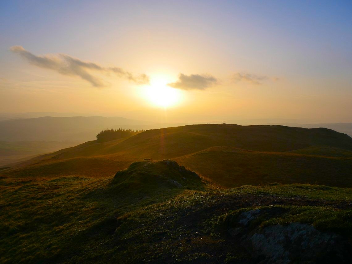
Where conditions took a turn for the better. From now on it was a lovely late Autumn day.
.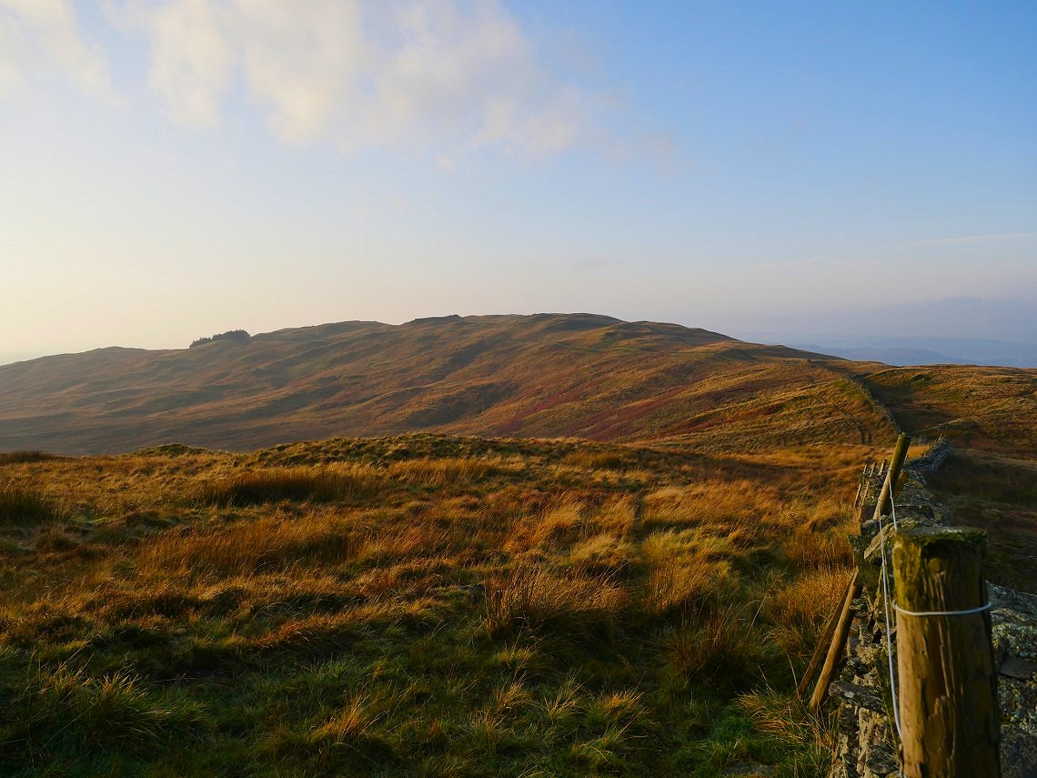
Looking back to Sour Howes from the path around to Sallows.
And from Sallows there was a lovely view of a cloud covered Red Screes and a clear Caudale Moor.
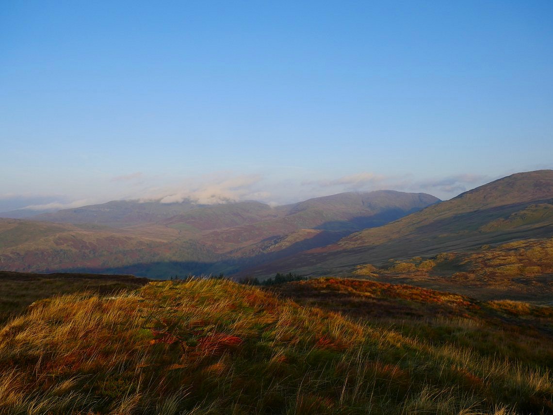
And panning to the right my route for the next few hours is seen.
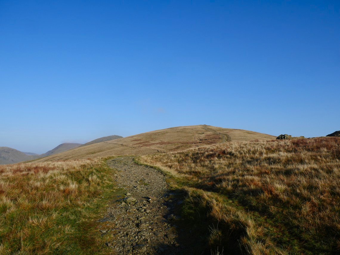
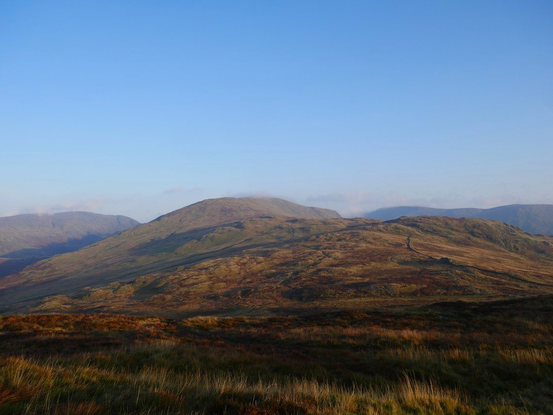
I think I've mentioned before that I find the climb to Yoke to be the hardest of the three on the Ill Bell ridge although today perhaps because I'd started from high on the fell it didn't seem so bad.
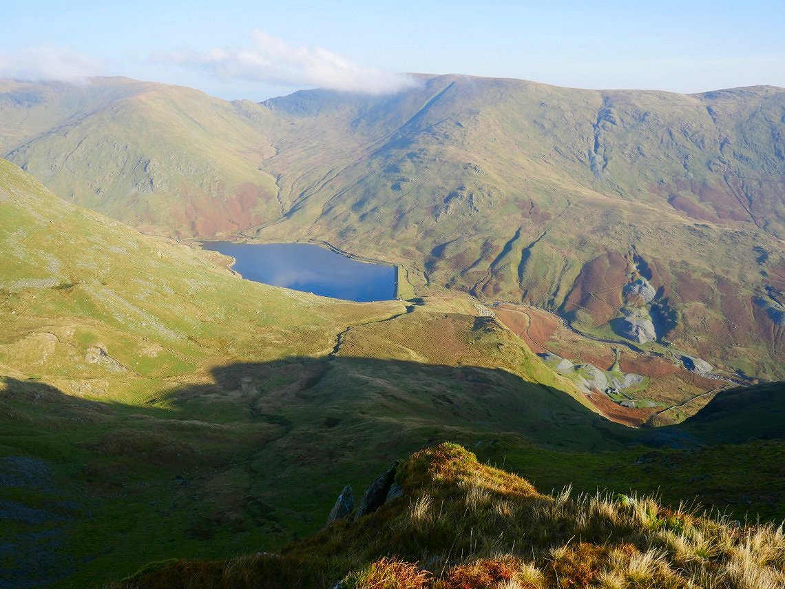
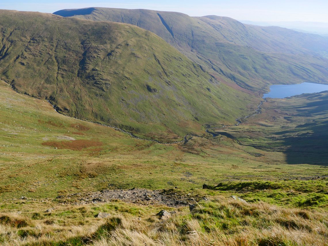
And once at the top I have a wander off the path to look down to the upper reaches of the Kentmere valley and the reservoir.
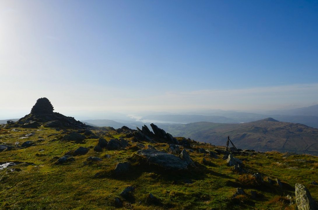
From Yoke it's down then steeply up to Ill Bell, from where Windermere is just seen in the haze.
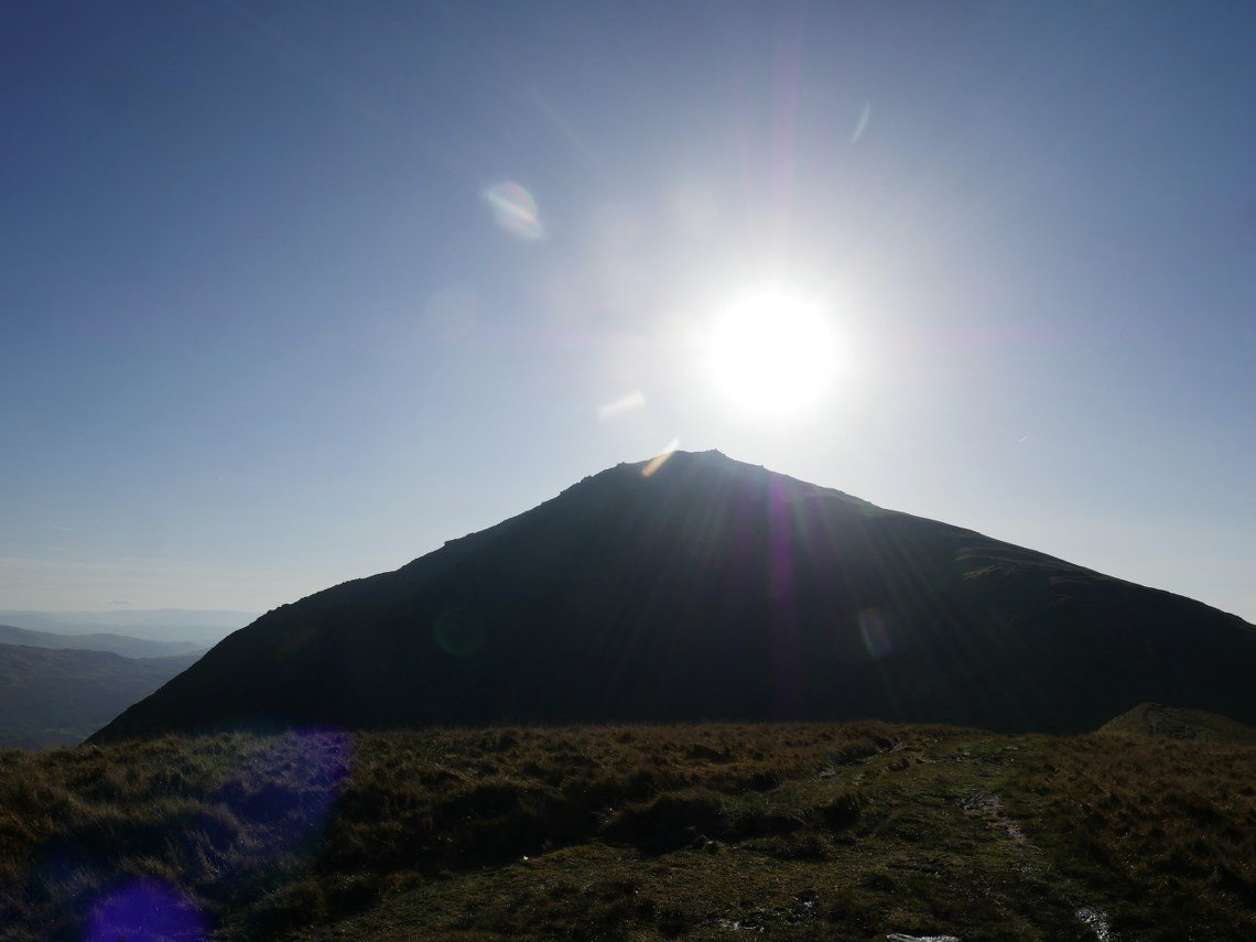
Looking back into the sun and Ill Bell.
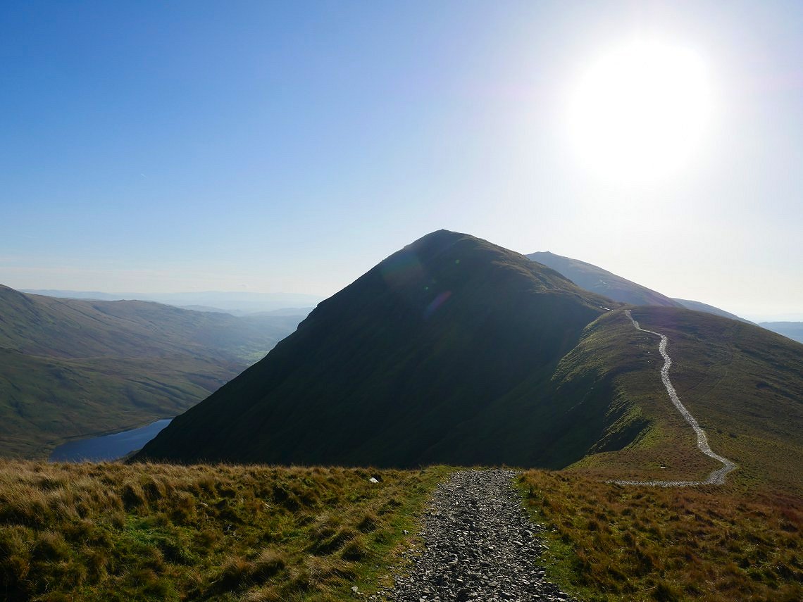
And again but this time with Froswick in the picture.
I didn't really have fixed plan of how I was going to get back to Windermere, I'd thought of doubling back and returning down Scots Rake to the Troutbeck valley but I'd been that way a few weeks ago. I had a phone signal which enabled me to check that my 4pm train stopped at Staveley so I decided to head there instead. I surveyed the slope down to the the river Kent and although quite steep it was do-able so that's the way I went.
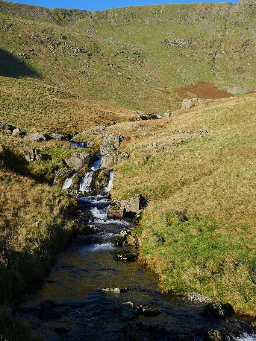
I got down ok but would only come down that way in clear fine weather as there were a couple of little drops I had to find my way around. I had a break sat by the lovely river Kent.
There is a quad bike track to follow for most of the way down to the reservoir but it's still very wet and soft underfoot..
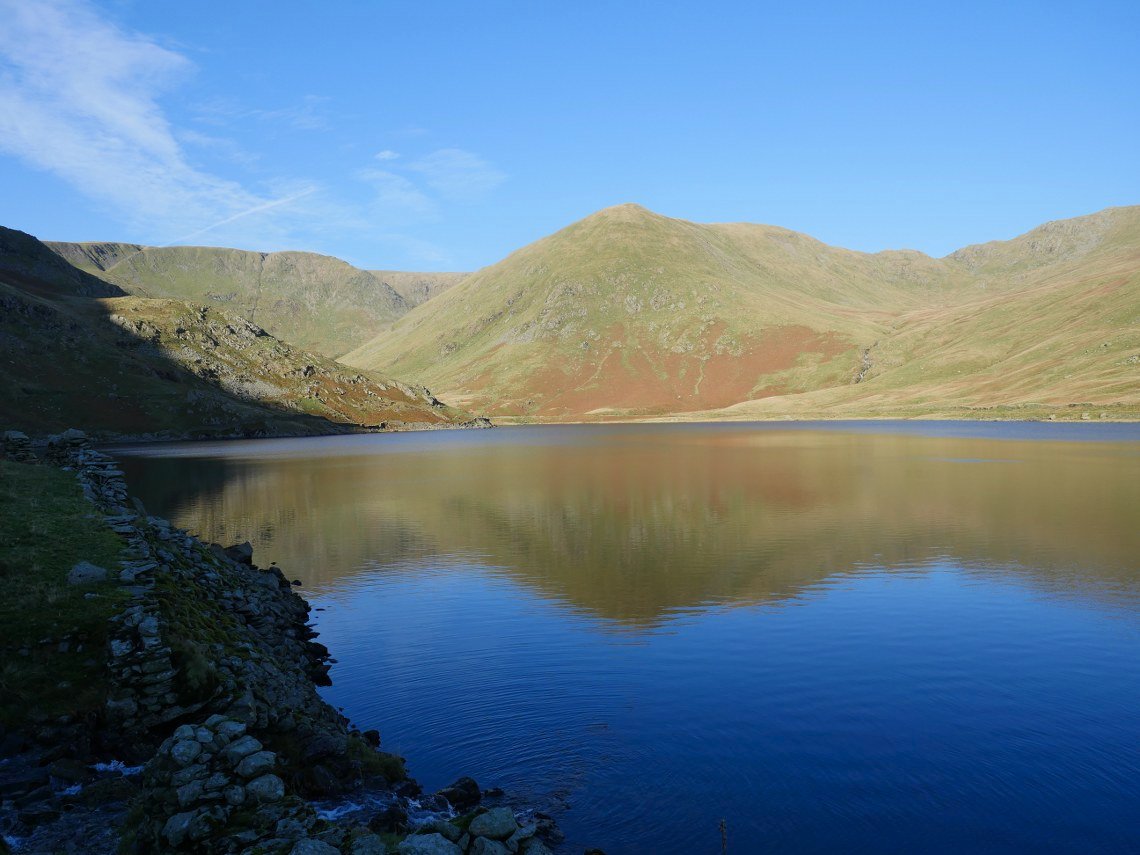
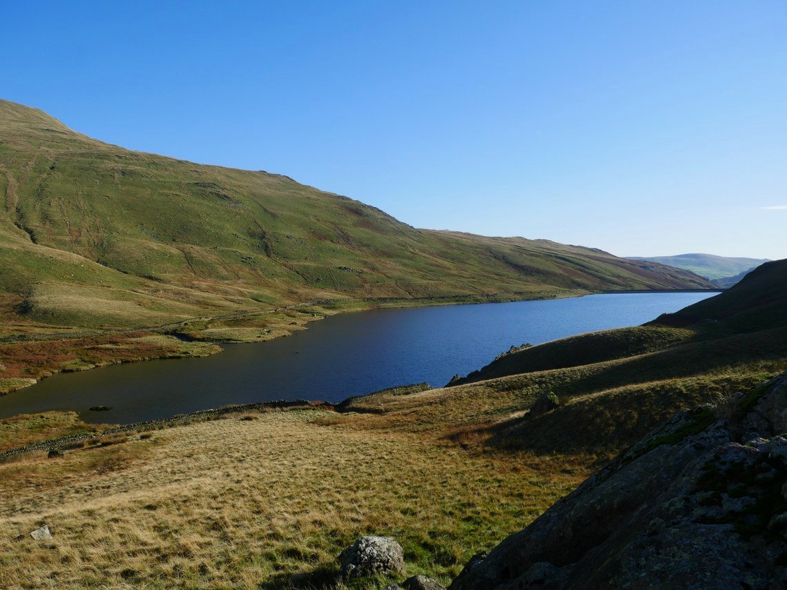
Looking back from the lovely path on the west side of the res. Lingmell End which is a spur of Mardale Ill Bell is the fell directly across the water.
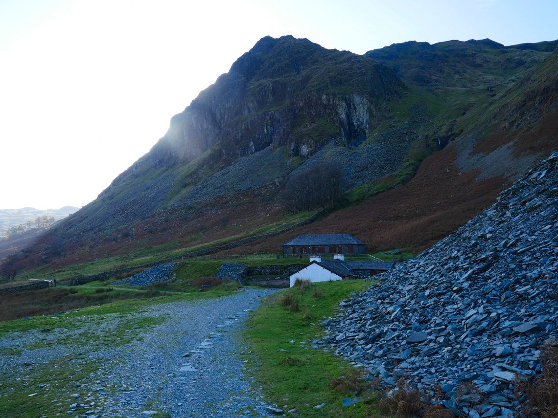
I've temporarily lost the sun behind Rainsborrow Crag as I pass Reservoir Cottage.
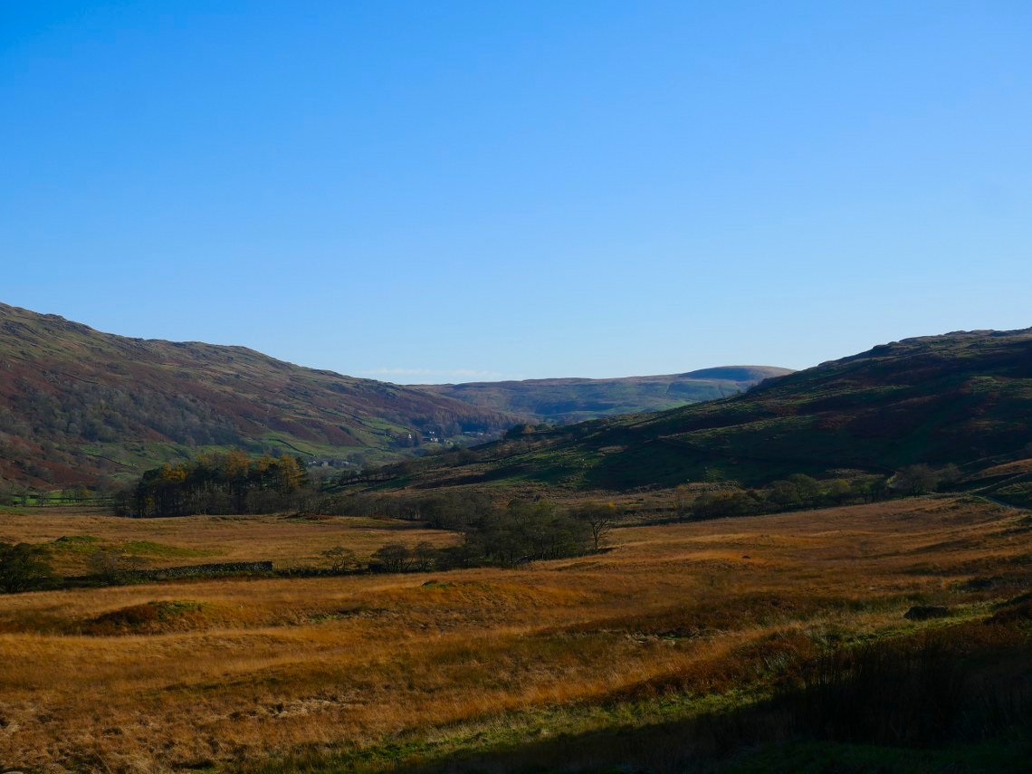
Looking down the valley.
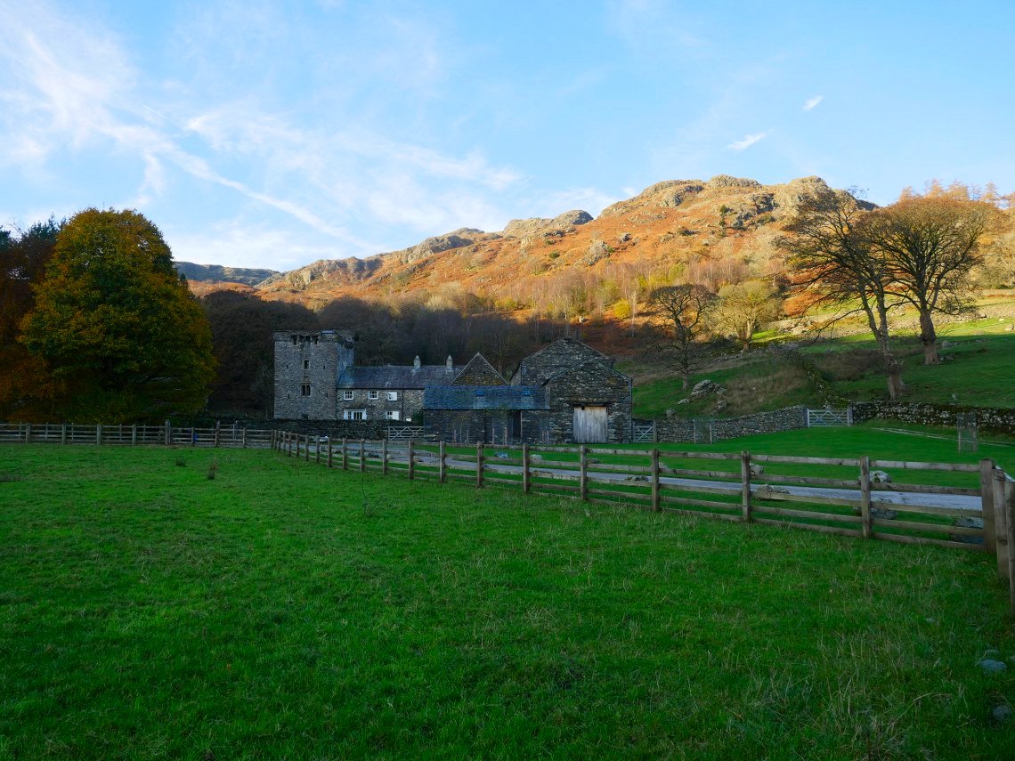
Eventually I reach Kentmere and head for the lower level path leading away from Kentmere Hall which here is backed by the sunlit Goat How Scar.
The path rises slightly as it passes kentmere Tarn.
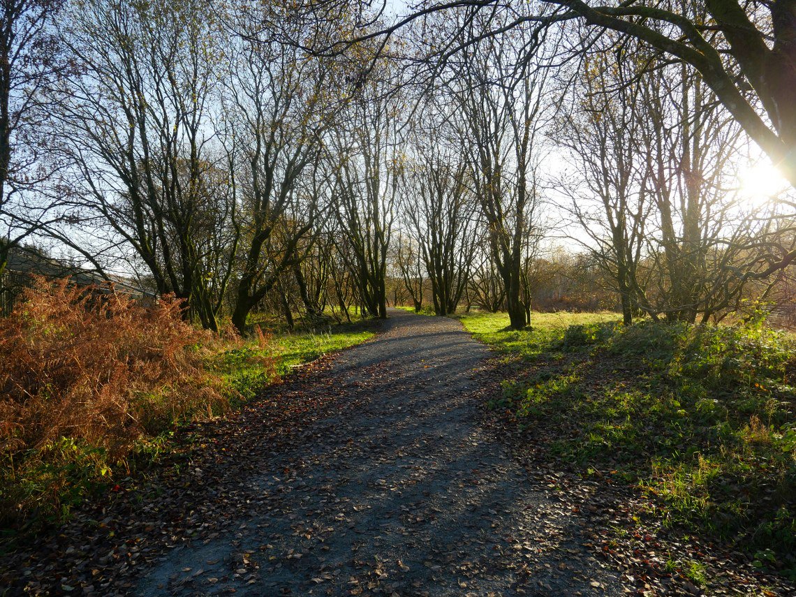
A sensible bit of path re routing has taken place since I last came this way. There now is a diversion around the HV factory yard which has been nicely done and looked great with the low winter sun slanting through the trees.
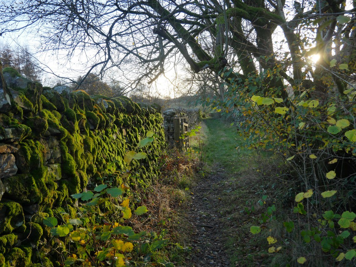
And another lovely bit of path near Sawmill Cottage, although I caught my foot in a loop of bramble and went full length on the floor luckily no damage was done.
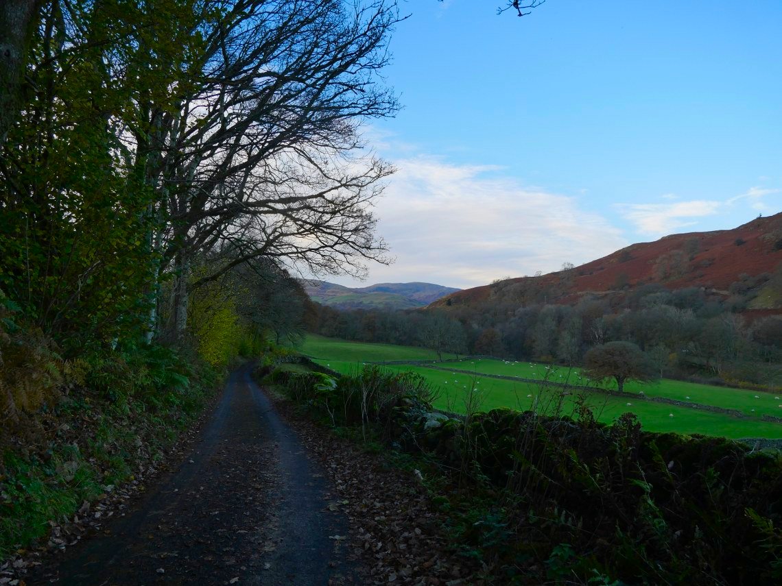
On to Browfoot Lane now looking back along the valley.
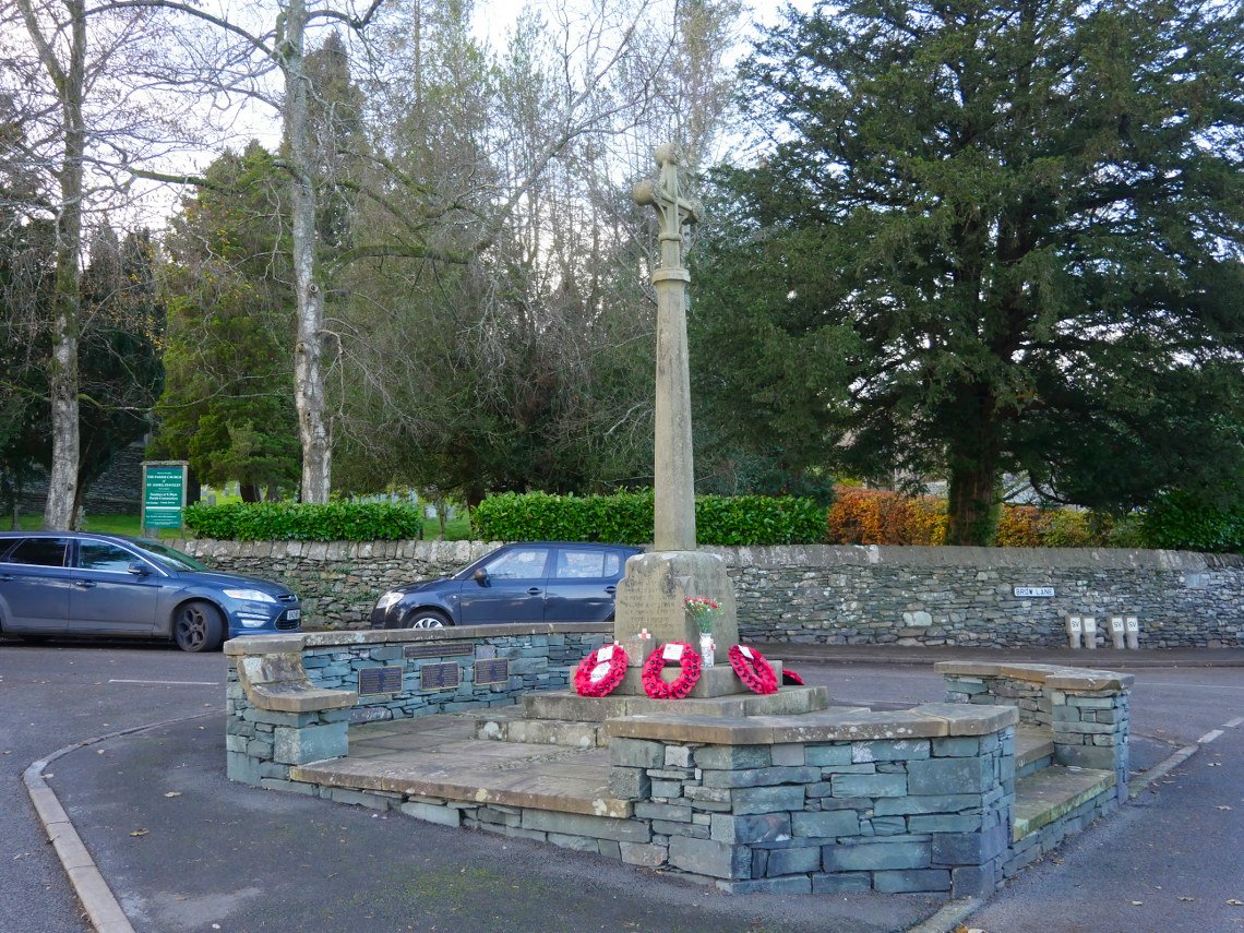
Passing through Staveley
Previous walk - Fellbarrow, Low Fell and Lingmoor Fell - Next walk - Great End and Seathwaite Fell