WWW.KARLSWALKS.CO.UK
PICTURES AND TRIP REPORTS FROM MY WALKS IN THE ENGLISH LAKE DISTRICT
|
|
|
|
||||
|
|
|
|
|
|
|
|
E-mail - karl@karlswalks.co.uk |
I really wanted to have a night out in the unseasonably warm weather we have had in the last few days but I was busy most of Saturday and had family commitments on Sunday afternoon so I had to come up with a short backpack which I could fit in in the time available.
I've wanted to revisit the fells to the west of the Crookdale valley for a while, my only previous visit was a few years ago and was only memorable for the sleet and heavy rain which actually destroyed my camera.
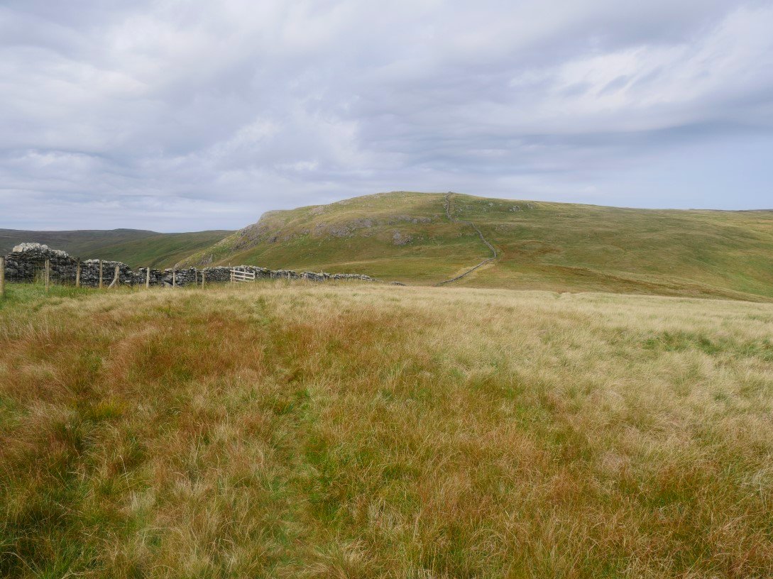
It was after 6 when I parked in the long lay-by at Shap summit and took the path heading for Whatshaw Common but after a couple of hundred yards I took a left turn on to the old Shap road and headed down hill to Crookdale Bridge. Ahead is High House Bank which is my first climb
The line of the old road is quite clear as it drops down to Crookdale Bridge. The temperature still very pleasant and just right for walking unlike the ridiculously warm last few days.
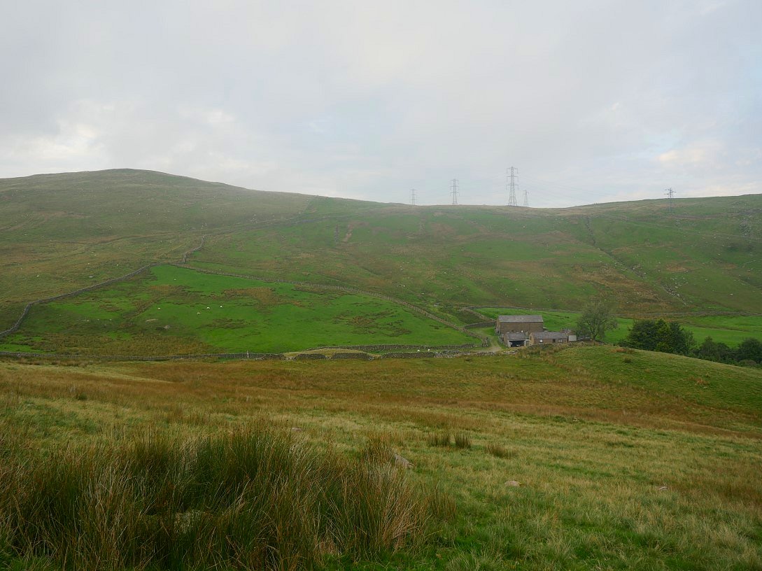
Although it's quite a steep pull away from the farm of Hause Foot so I was soon glowing nicely.
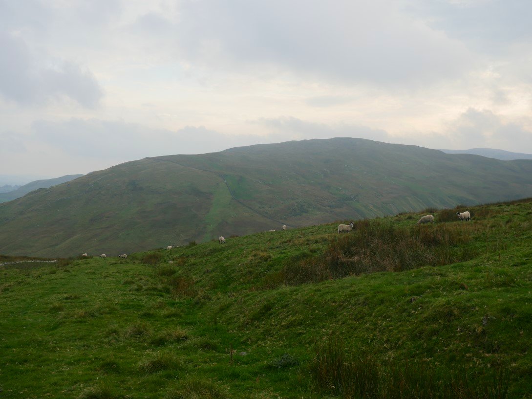
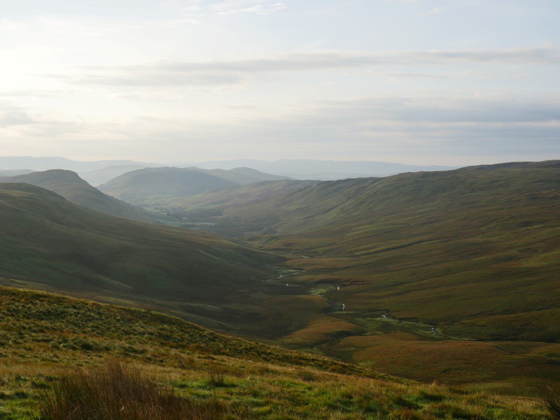
Great Yarlside, which I'll be returning over tomorrow is across Crookdale.
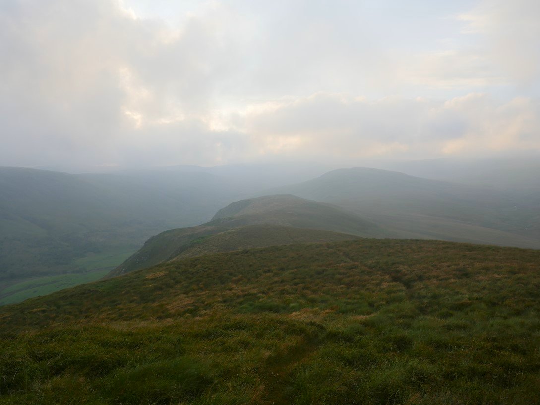
On to High House Bank looking on to my outward route. I was hoping to camp on Lord's Seat which is the fell in the mist but first I had to pass over Robin Hood which is the next top along.
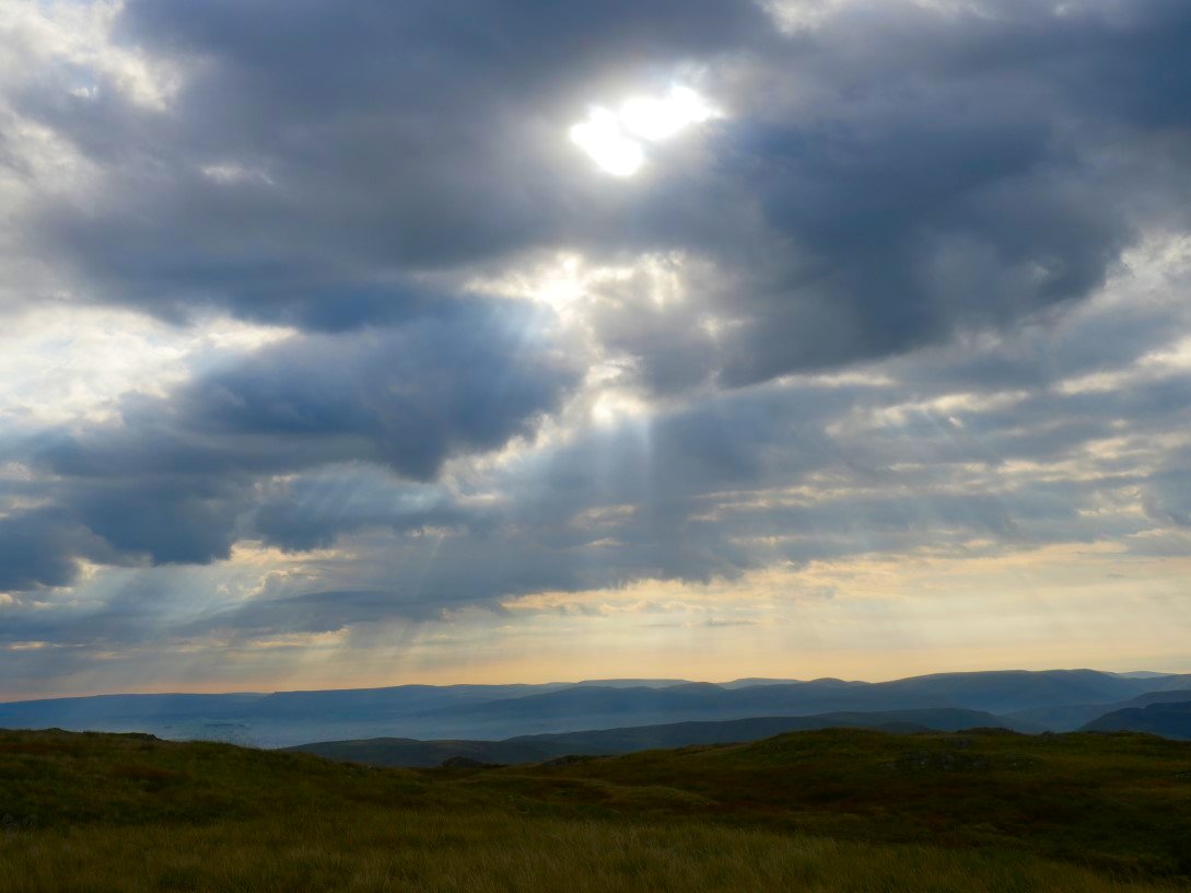
As I approached Robin Hood the sky which had been very dull up to this point started to clear and I thought I might see a sunset.
.
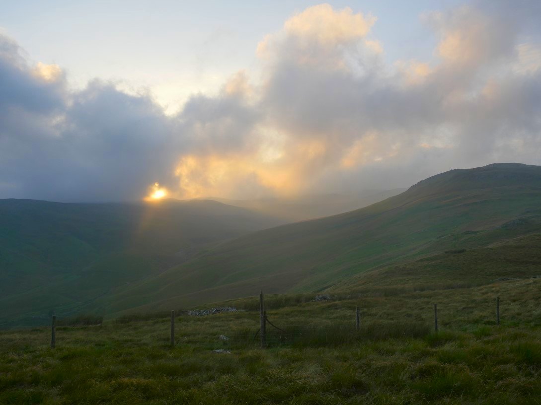
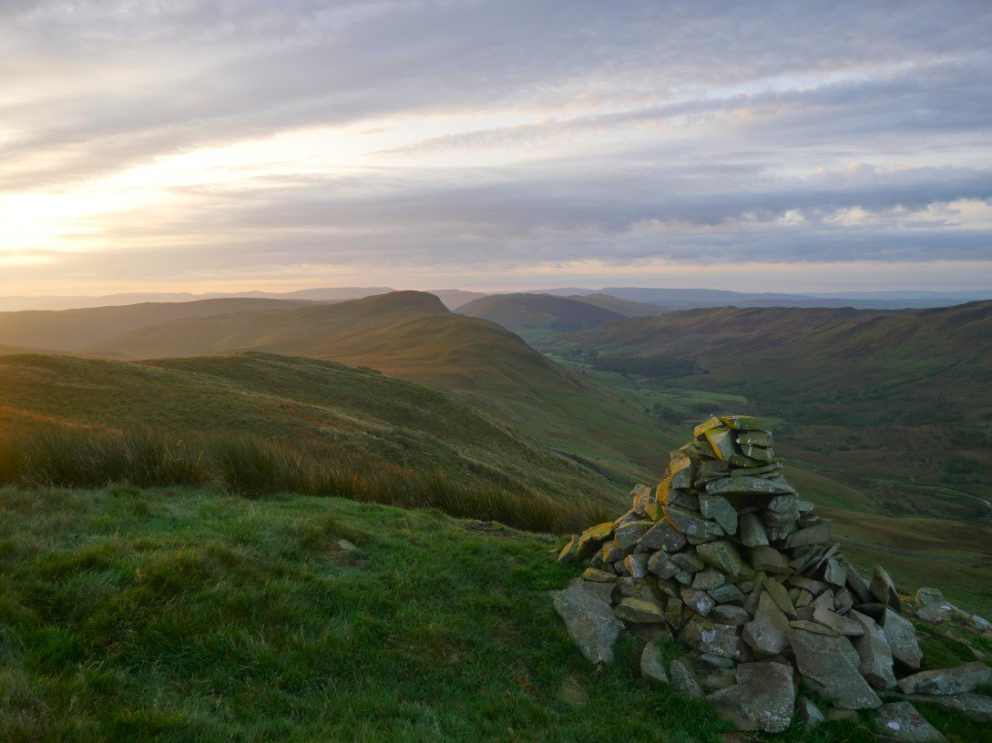
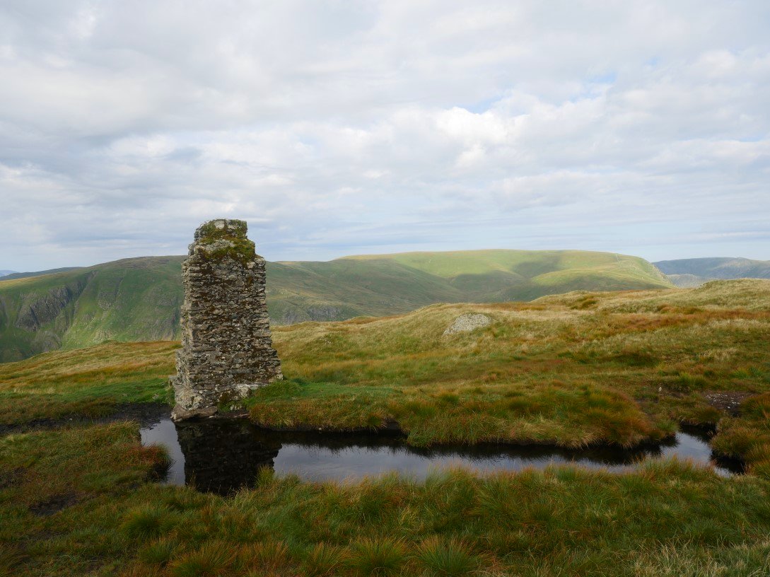
But the sun disappeared behind the clouds. When I reached Robin Hood I could see that all the fells further on were in cloud so I decided to camp on the top near the ruined beacon.
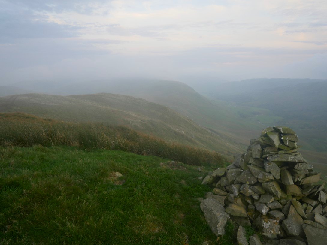
And this is looking back from the ruined beacon which was quite a bit taller a few years ago.
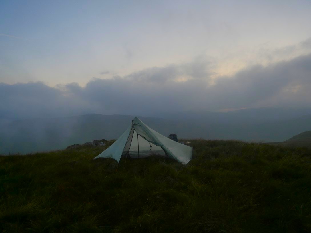
My pitch on Robin Hood. I came out of the tent around ten thirty and the skies had cleared letting me see the most amazing starry sky and a very clear milky way. Whilst watching the skies I became aware of flashes of light far away to the south west and I saw that the clouds were being lit by silent lightning which was lovely to see but I hoped that It wouldn't come any nearer.
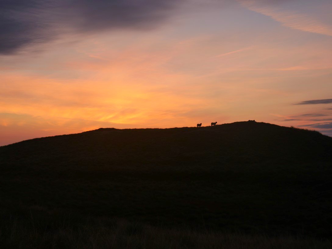
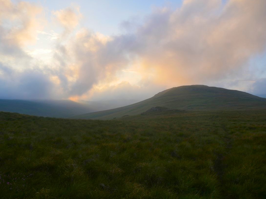
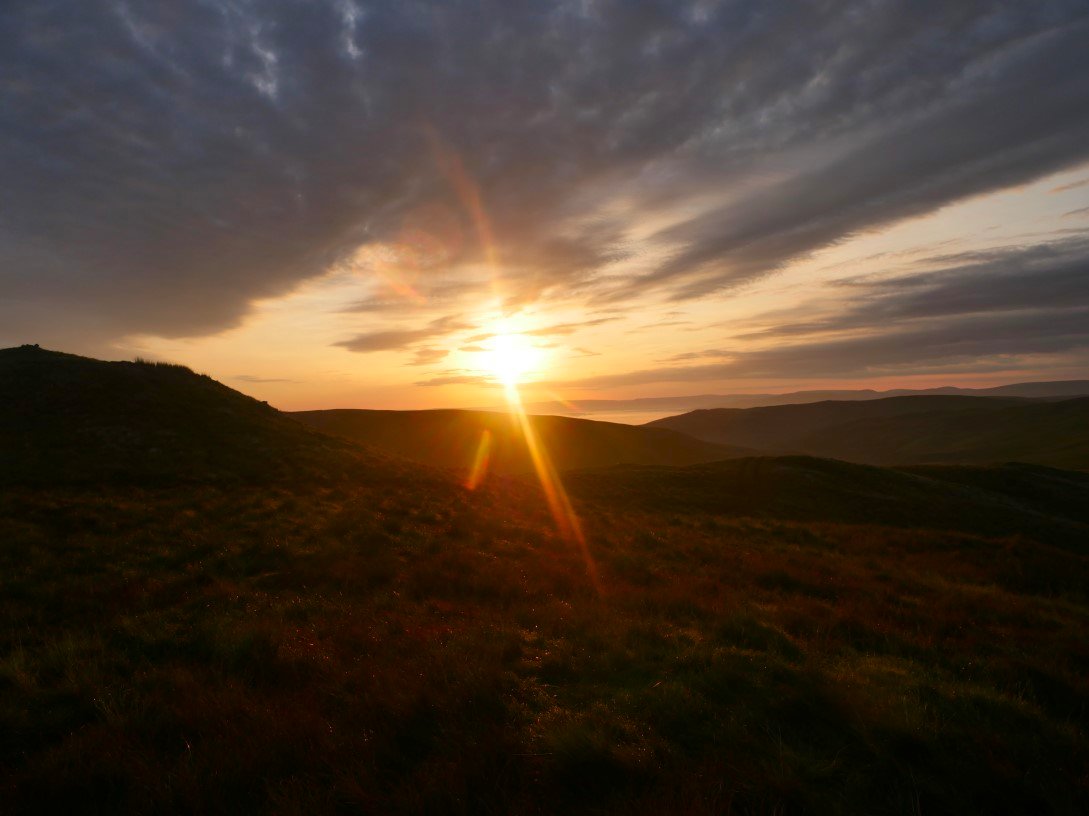
I wasn't bothered by any lightening so slept well but was up early hoping for a nice sunrise and the glow beyond the summit of Robin Hood looked promising.
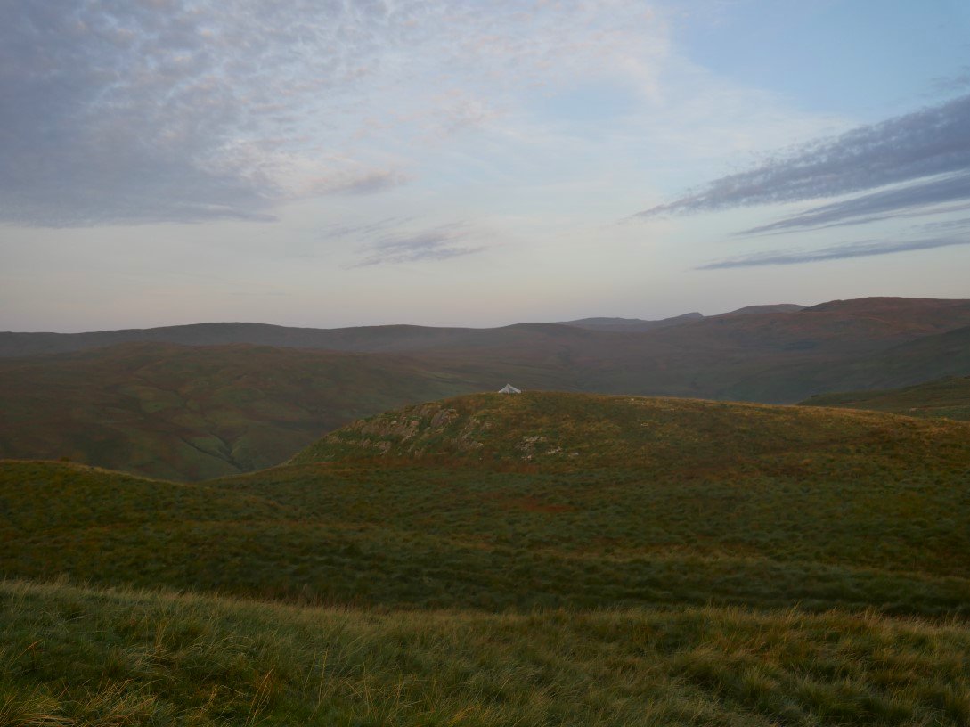
My pitch from the summit where I have moved to to hopefully see the sunrise.
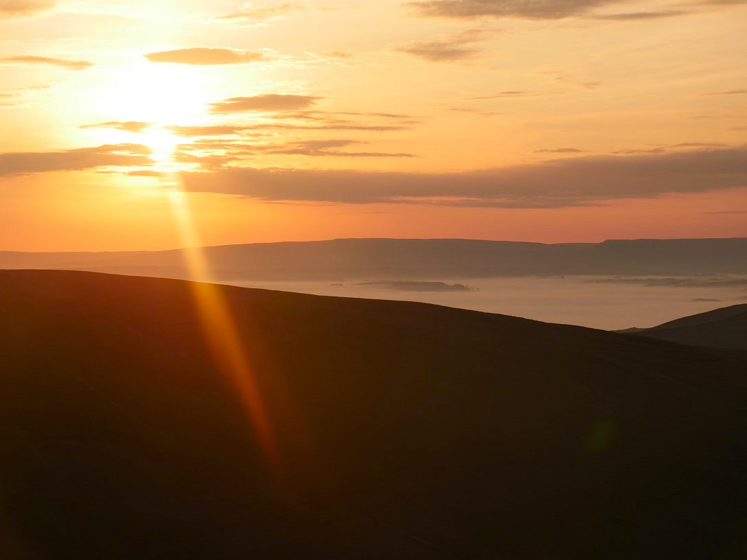
Not only a sunrise but the Eden valley is in inversion.
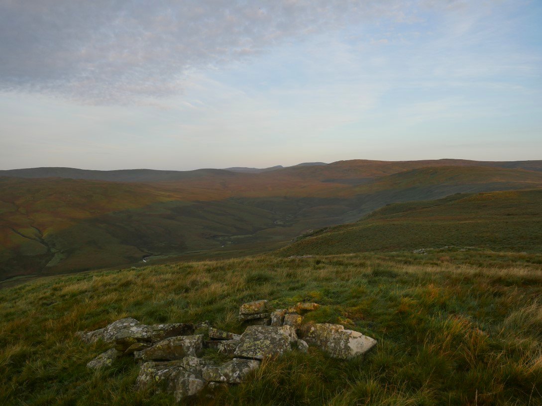
A Clearer view of High House Bank and the upper reaches of the Borrowdale valley with Ashstead Fell, Mabbin Crag and beyond them Whinfell Beacon.
Some cloud has formed making the sky even more interesting.
Looking to the End of Borrowdale. The pointed top is Ill Bell above Kentmere.
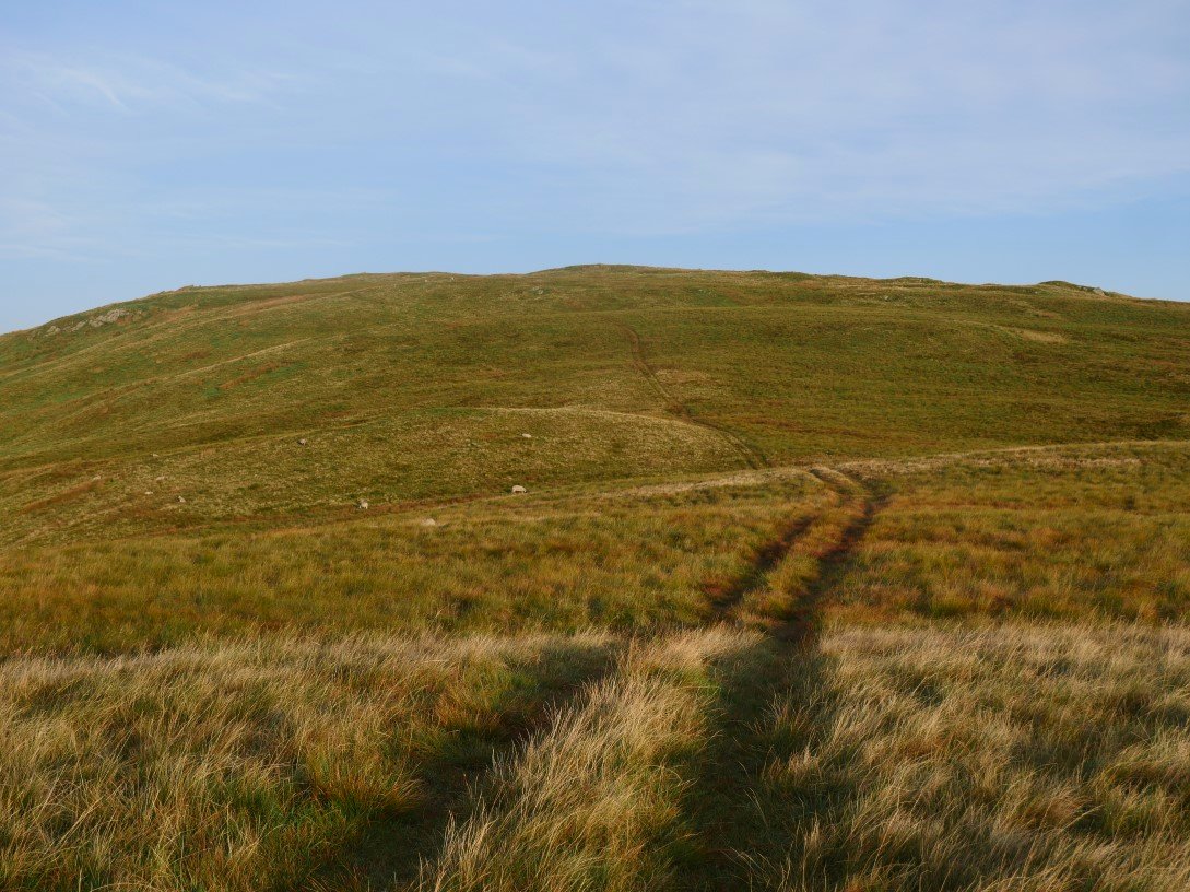
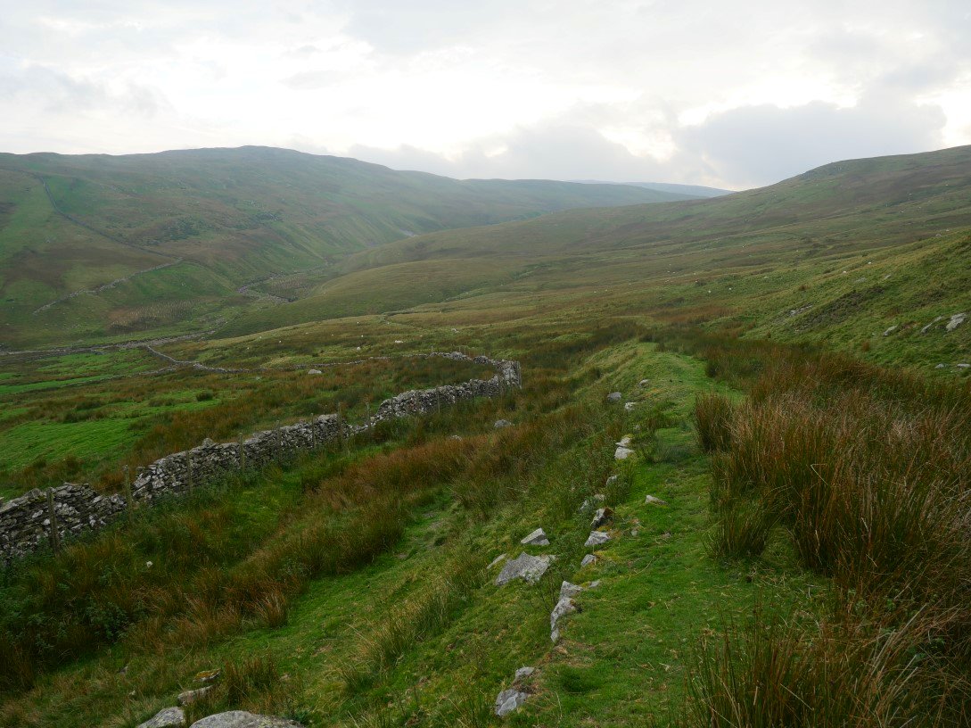
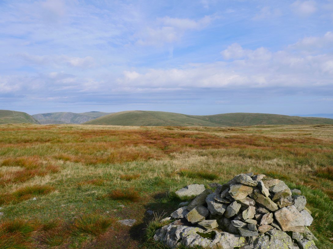
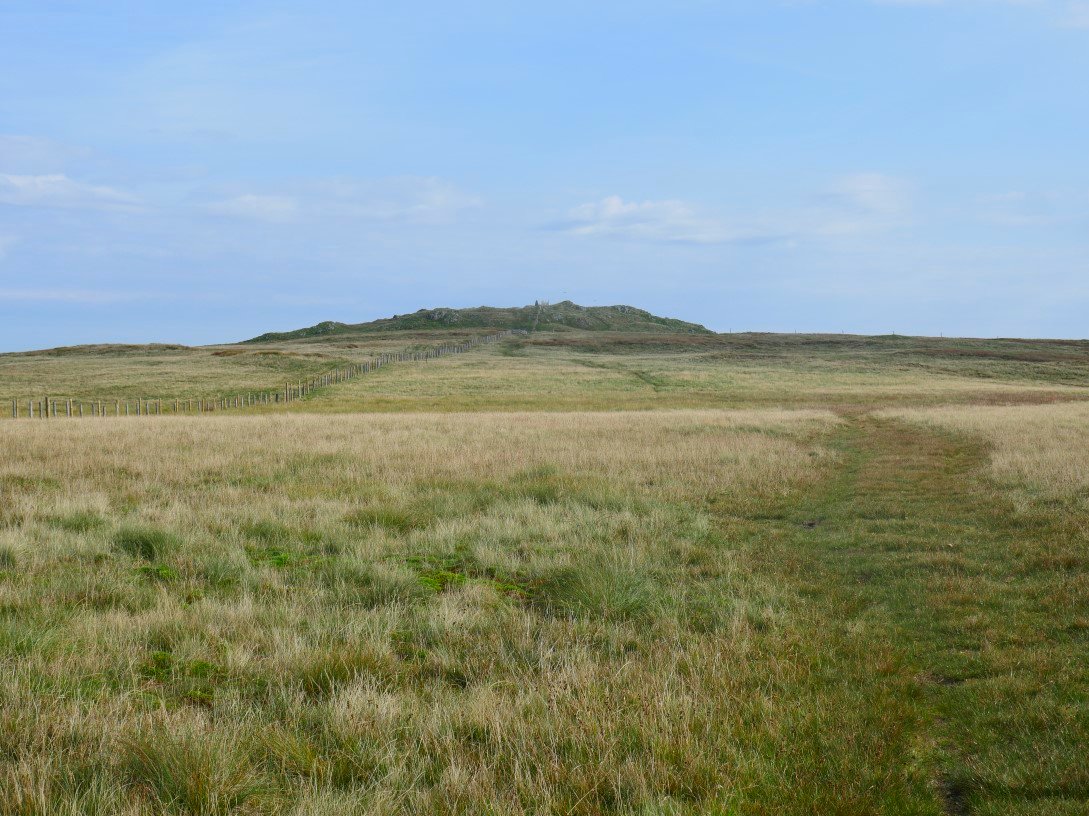
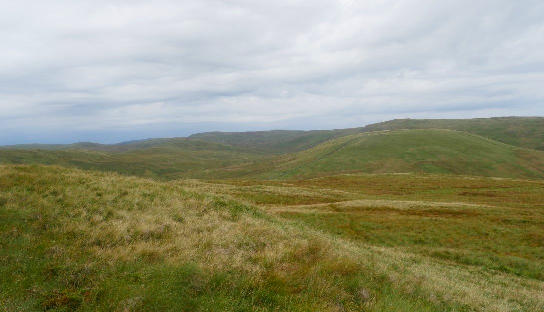
There is a handy cart / quad bike track to follow all the way ( and over ) Lord's Seat.
Another look down Borrowdale.
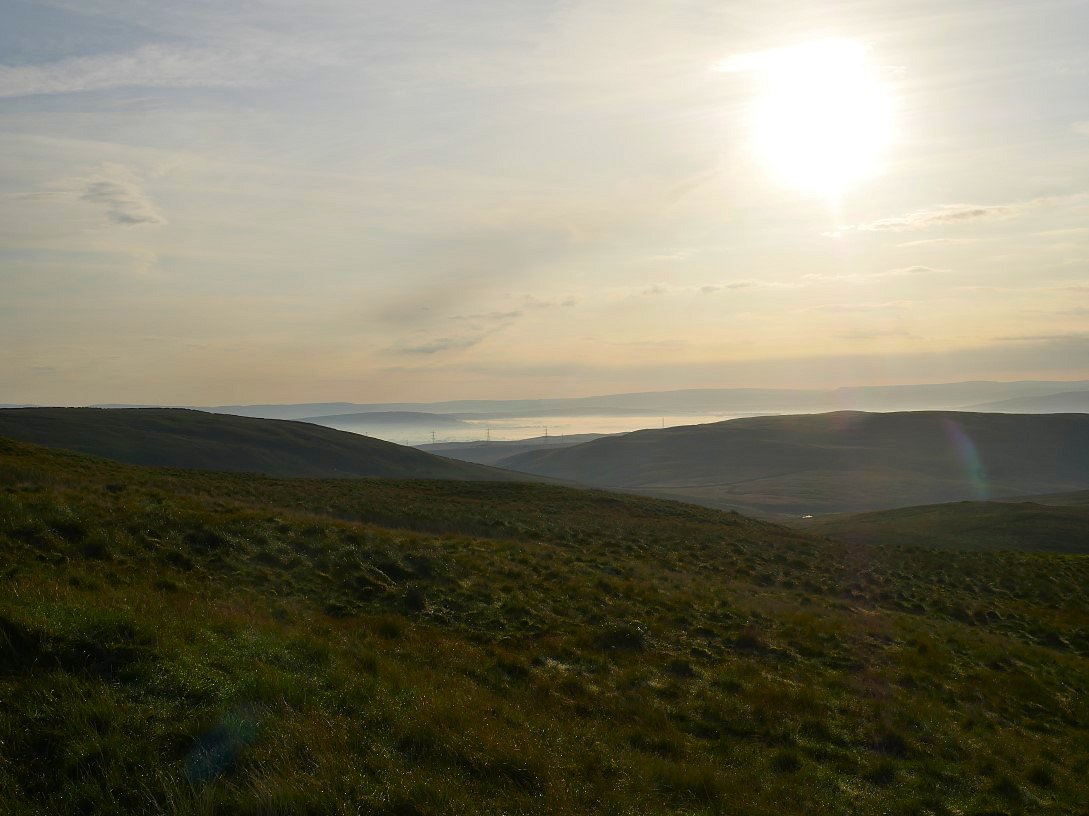
The sun is quite high now but the inversion is still lingering over the valley. The north Pennines are the hills in the distance.
And a small inversion over Windermere as well.
Shipman Knotts is the fell getting a ray of sunshine with Sallows and Sour Howes beyond that. The trees in the centre of the shot is the small copse at the summit of the Garburn Pass. The Coniston Fells are next in the distance with Black Combe in the far distance on the left.
More interesting skies over to the south west.
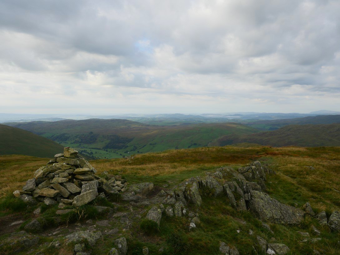
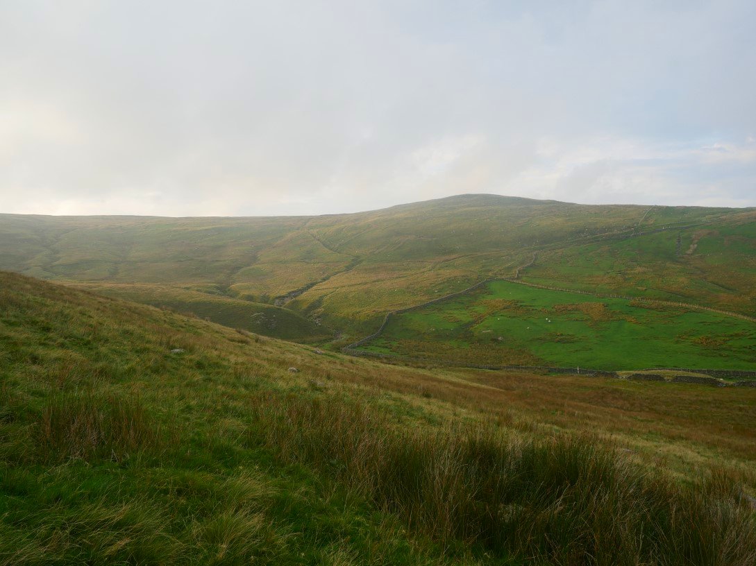
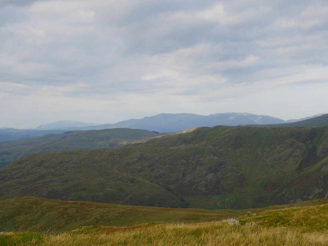
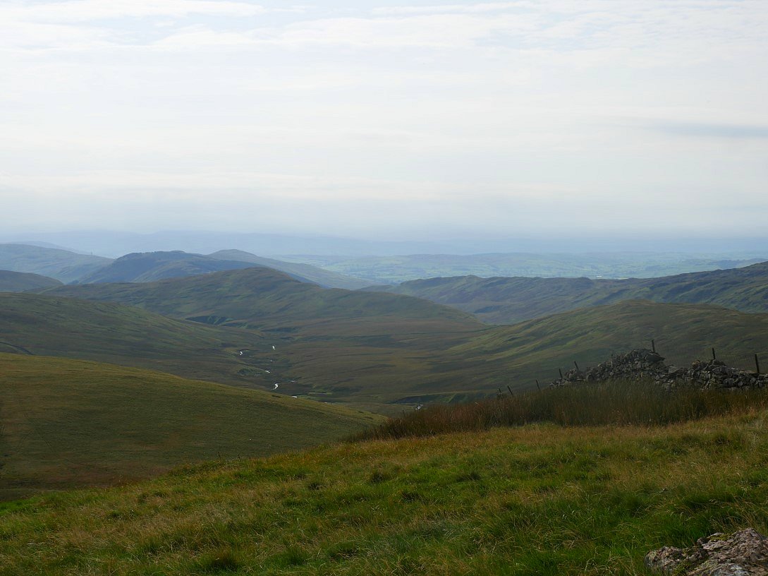
On to Grey Crag with Longsleddale below.
And it's only a squelchy twenty minutes to the survey tower on Tarn Crag.
Branstree and Selside seen from the actual summit of Tarn Crag.
And it's around another squelchy twenty minutes to Harrop Pike.
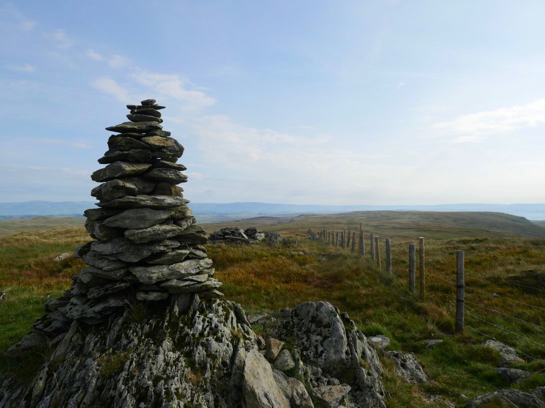
The impressive cairn of Harrop Pike. Looking along the fence which I will follow all the way to the car.
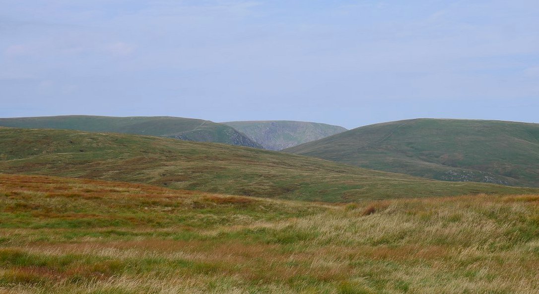
But a final look back over Tarn Crag to Harter Fell on the left and Branstree on the right with High Street between them.
Crookdale with High House Bank and Robin Hood seen from the drop down off Great Yarlside.
Great Yarlside from the climb up Little Yarlside.
And both the Yarlsides and Wasdale Mouth from the climb up to Whatshaw Common.
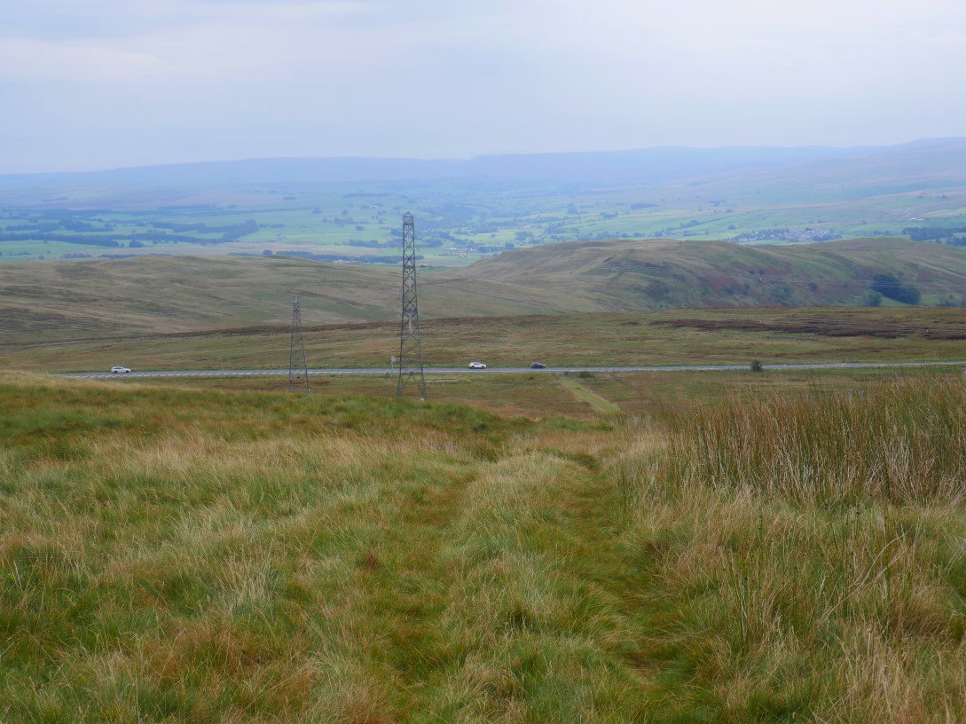
The A6 lay-by ( and my car ). I was back at my car by eleven and home by one so didn't get in any trouble
Previous walk - A Kentmere round - Next walk - A round above Deepdale