WWW.KARLSWALKS.CO.UK
PICTURES AND TRIP REPORTS FROM MY WALKS IN THE ENGLISH LAKE DISTRICT
|
|
|
|
||||
|
|
|
|
|
|
|
|
E-mail - karl@karlswalks.co.uk |
I drove to Coniston and after parking up I caught the 505 bus to Ambleside and then the 599 to Grasmere. My plan was to walk back over the tops with a high camp somewhere around half way. The weather on Saturday afternoon was a bit more wintery than forecast so I settled for a valley camp.
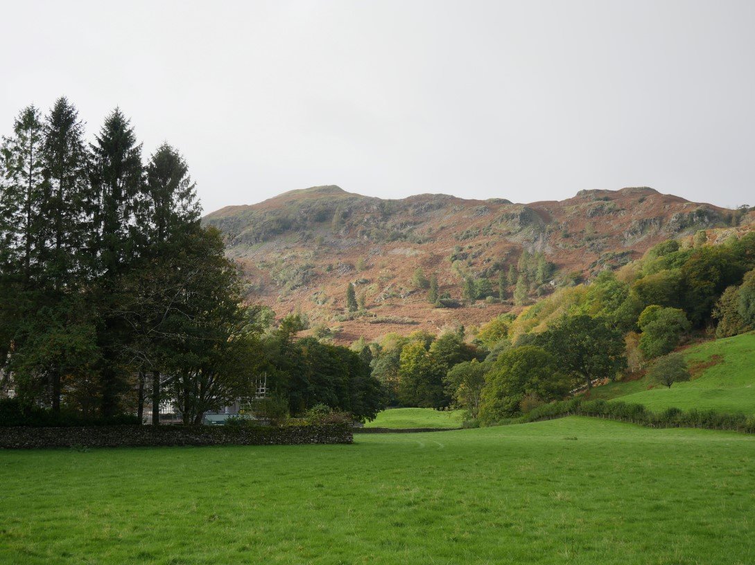
I'd left wall to wall blue sky in Coniston but as I headed up to Silver How the skies were quite a bit grayer and it felt like rain was on the way. That's Silver How seen from the walk up to Allan Bank.
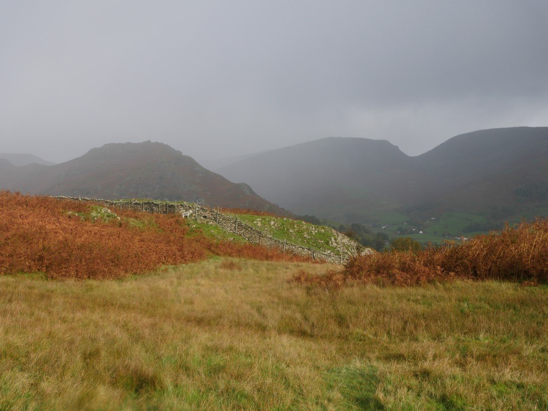
Rain definitely was on the way and being October was quite a cold rain too. Here the rain sweeps down over Dunmail Raise between Helm Crag and Seat Sandal.
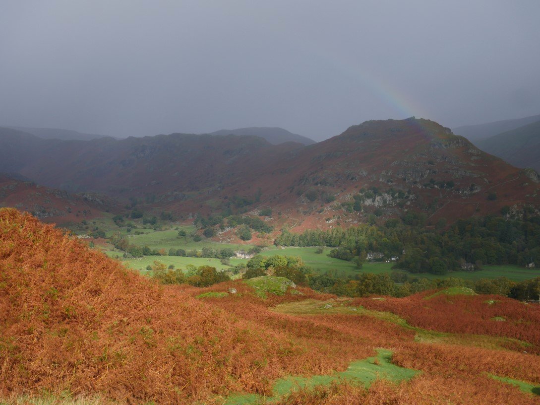
As per usual as soon as I'd put my waterproofs on the sun came out, lighting up he field's below Helm Crag and providing me with a rainbow.
But the rain returned as I reached the top of Silver How.
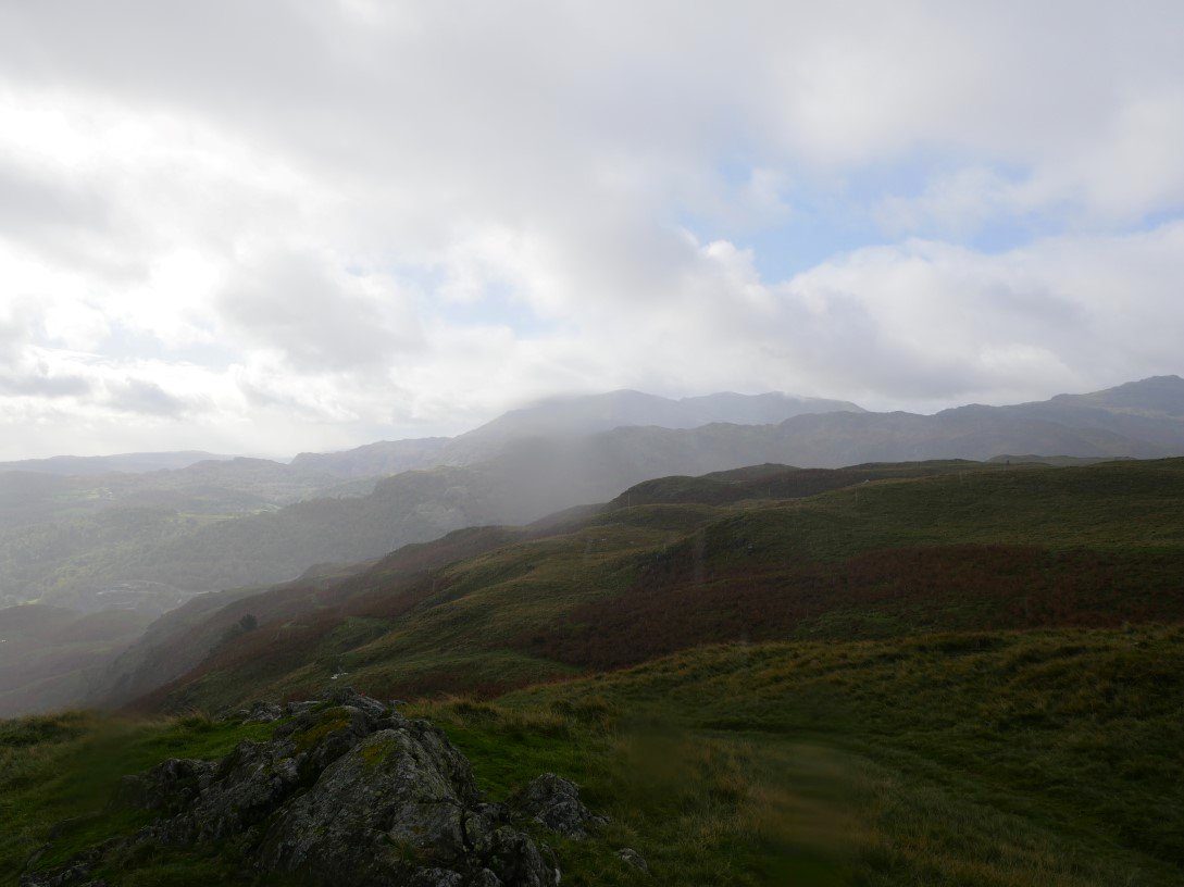
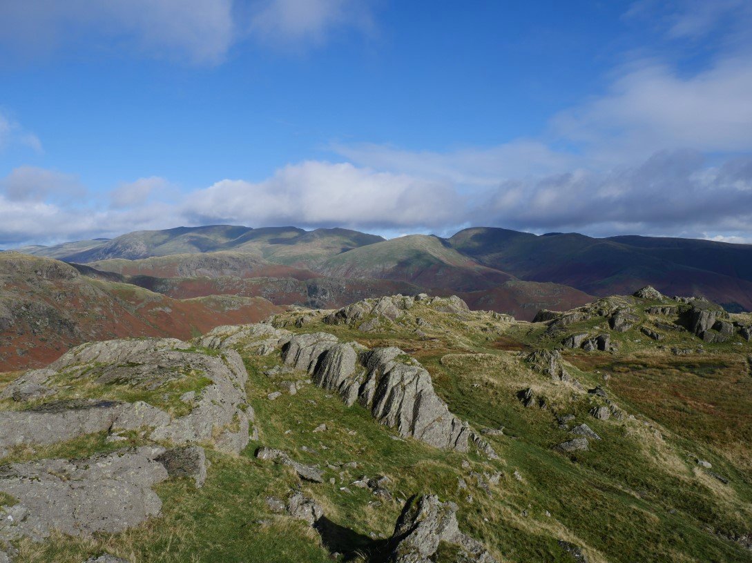
Looking over to the Coniston fells there is still a little bit of blue sky to be seen.
Clouds have rolled in over Helvellyn and the fells roundabout.
.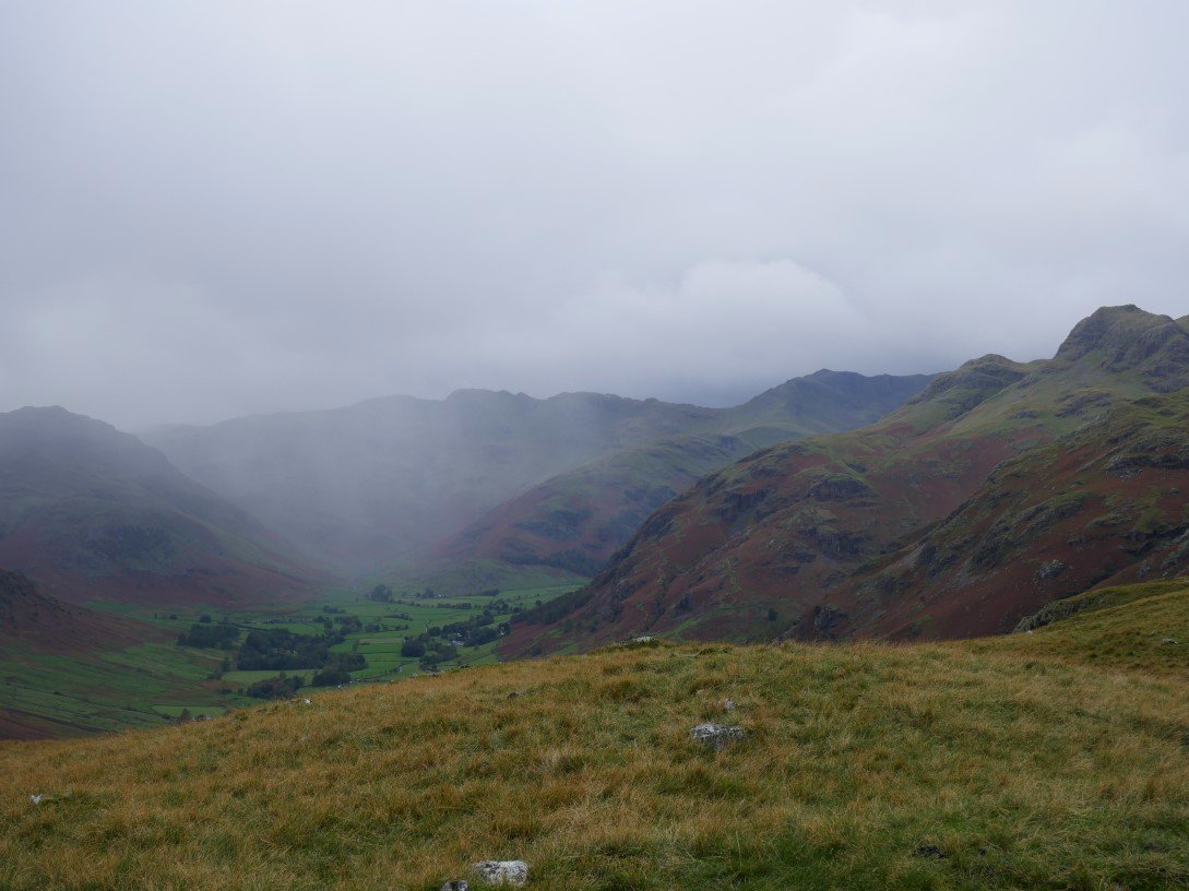
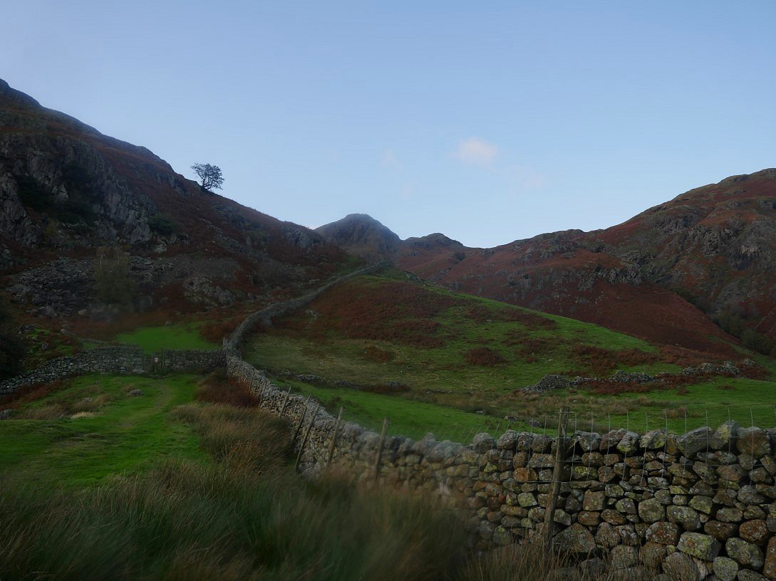
The rain stopped as I walked the ridge above Great Langdale but it wasn't long before the next wave of bad weather came along the valley.
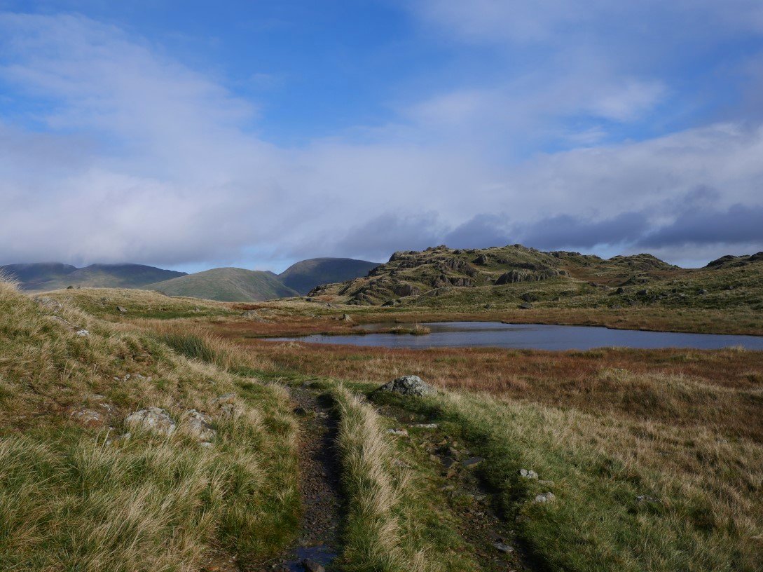
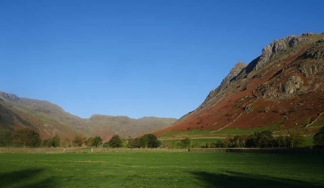
But that rain didn't last long and for a few hours I had blue skies albeit very cold in the wind. Here I'm passing one of the tarns below Lang How.
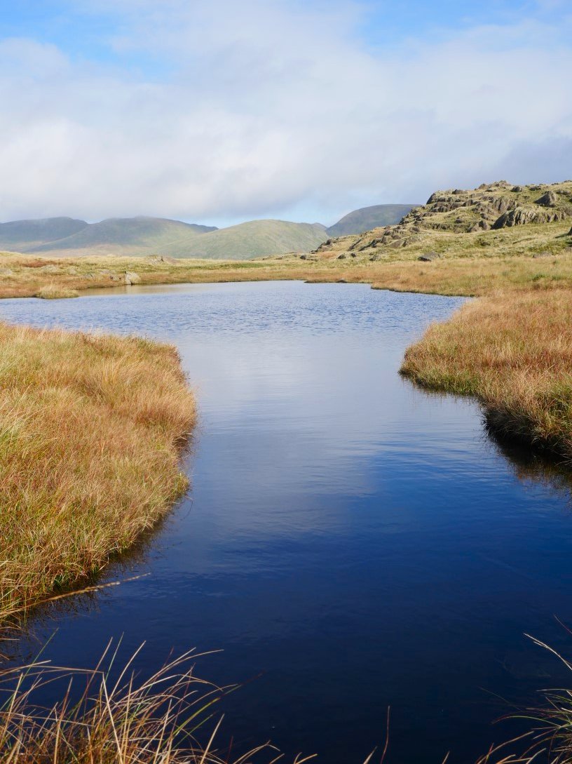
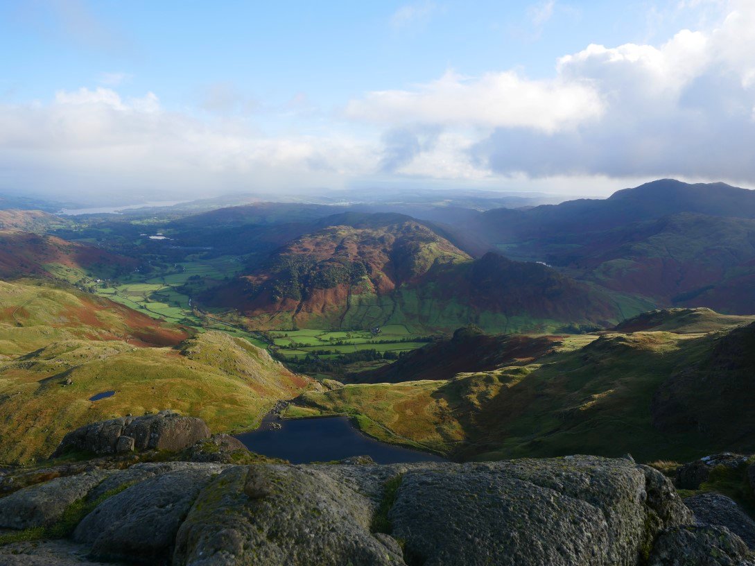
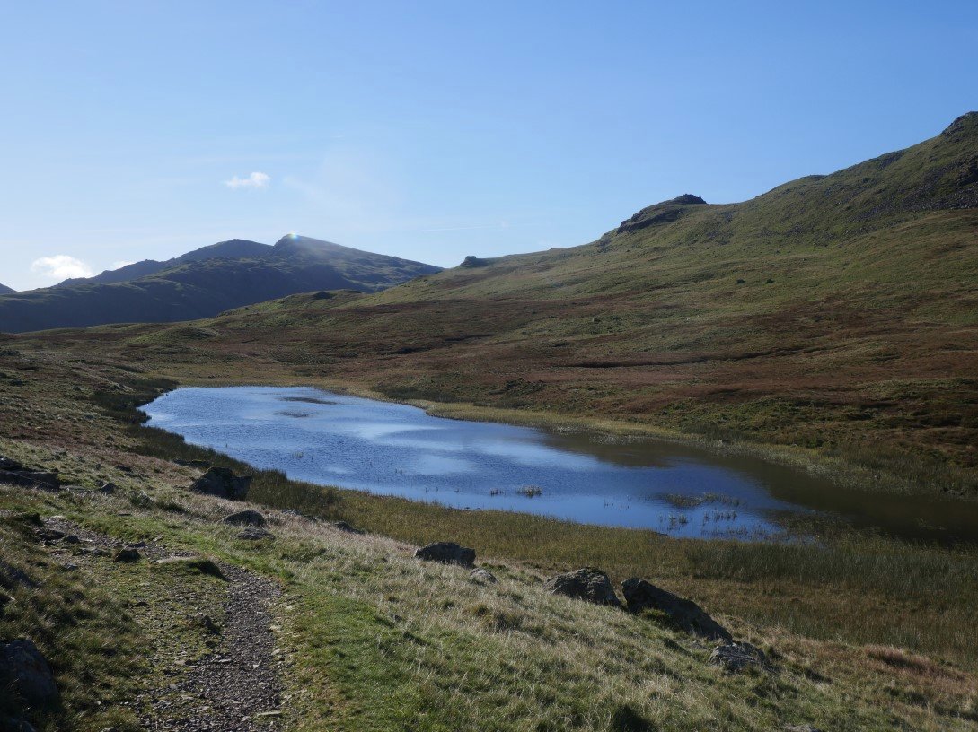
And just before the final climb to Blea Rigg there is another attractive little tarn which I can never walk past without getting a photo of Seat Sandal, Dollywagon Pike and Fairfield.
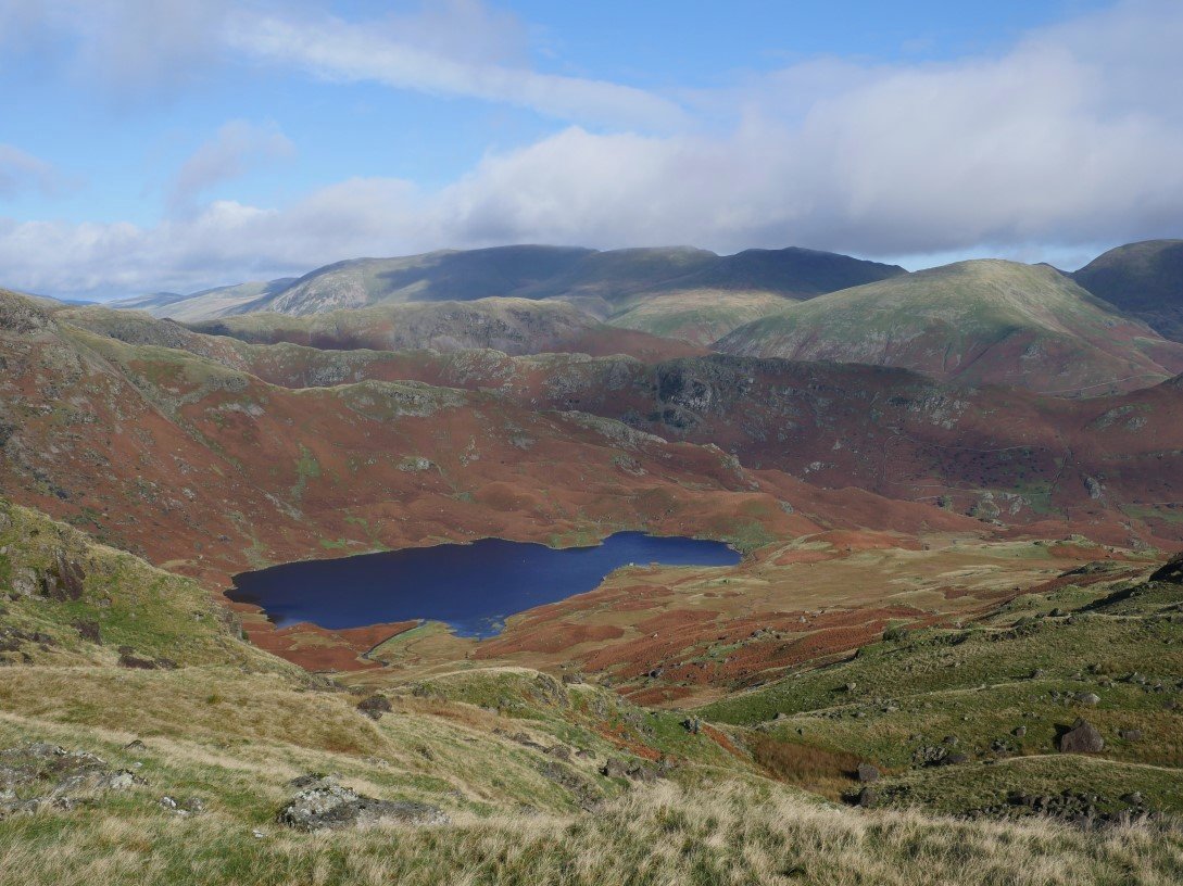
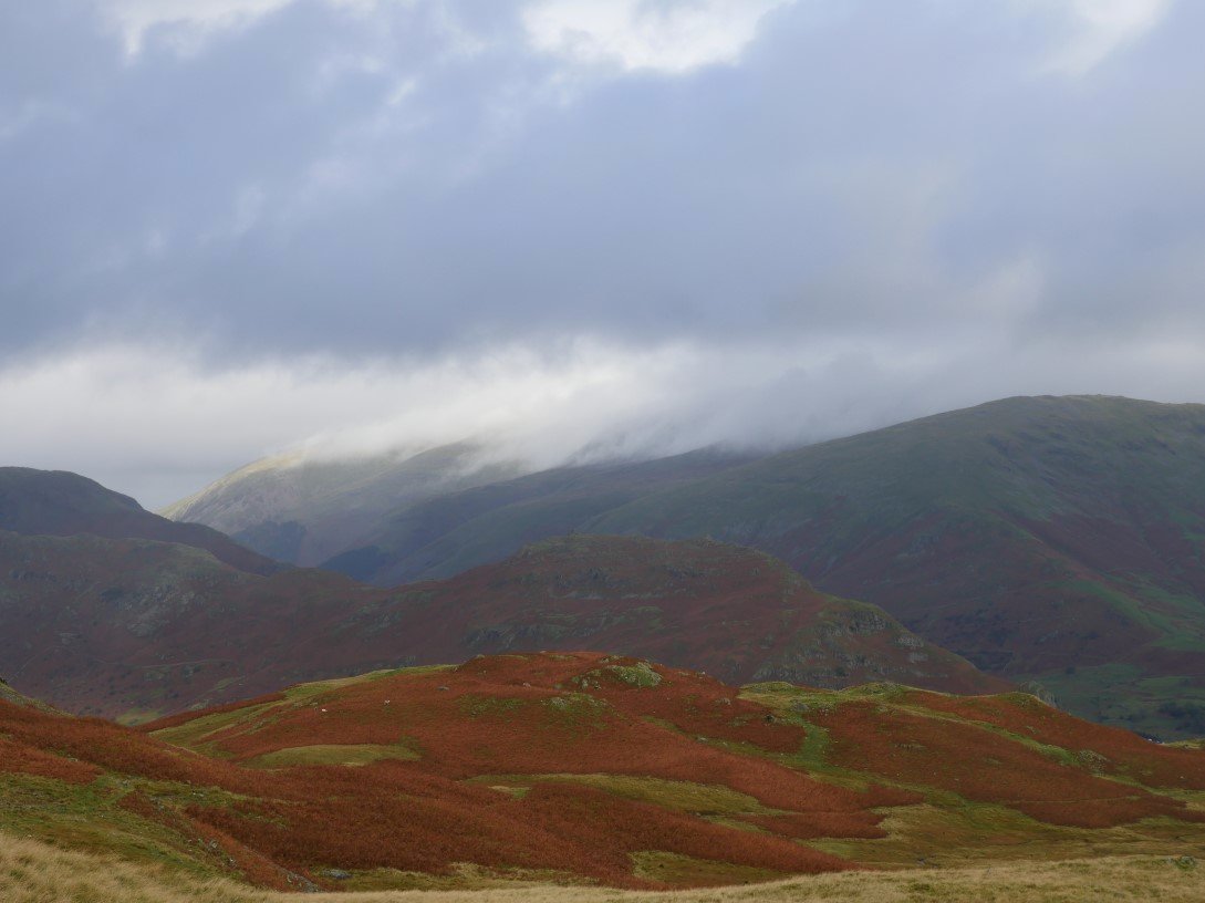
From the climb to Blea Rigg there is a view of another attractive but rather larger tarn. Easedale Tarn with Helvellyn behind now clear.
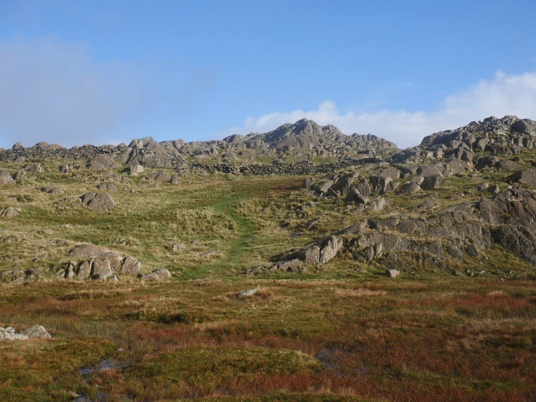
On to Blea Rigg. The cold air was now giving crystal clear views to the east.
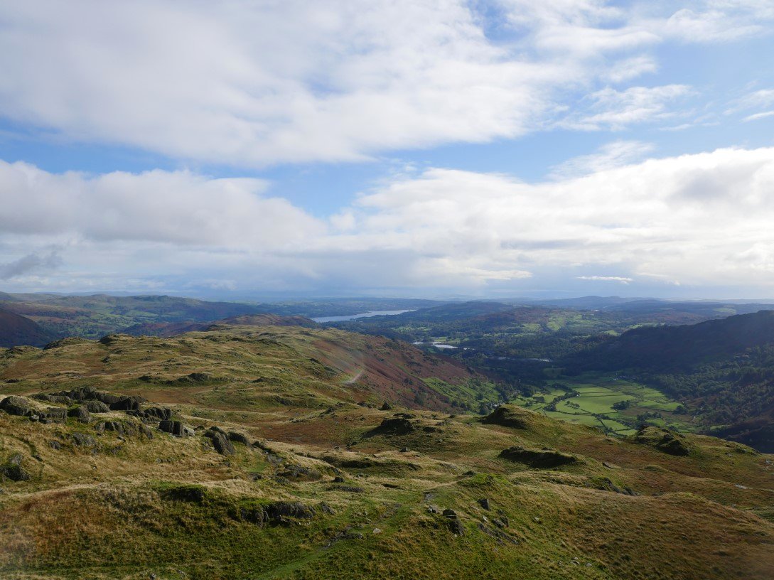
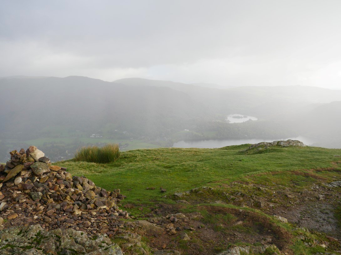
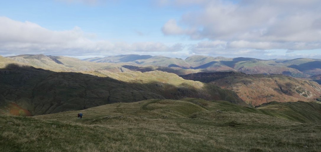
And looking back the way I have come, Windermere in the distance.

In clear weather It's an easy walk following the winding path in the general direction of Pavey Ark. Jack's Rake is very clear slanting across the face. I had originally planned to climb Jack's Rake but with the wind blowing strongly and the rock still wet I decided to seek an alternative route to Pavey Ark.
My alternate route took me up to Sergeant Man, which is prominent on the skyline.
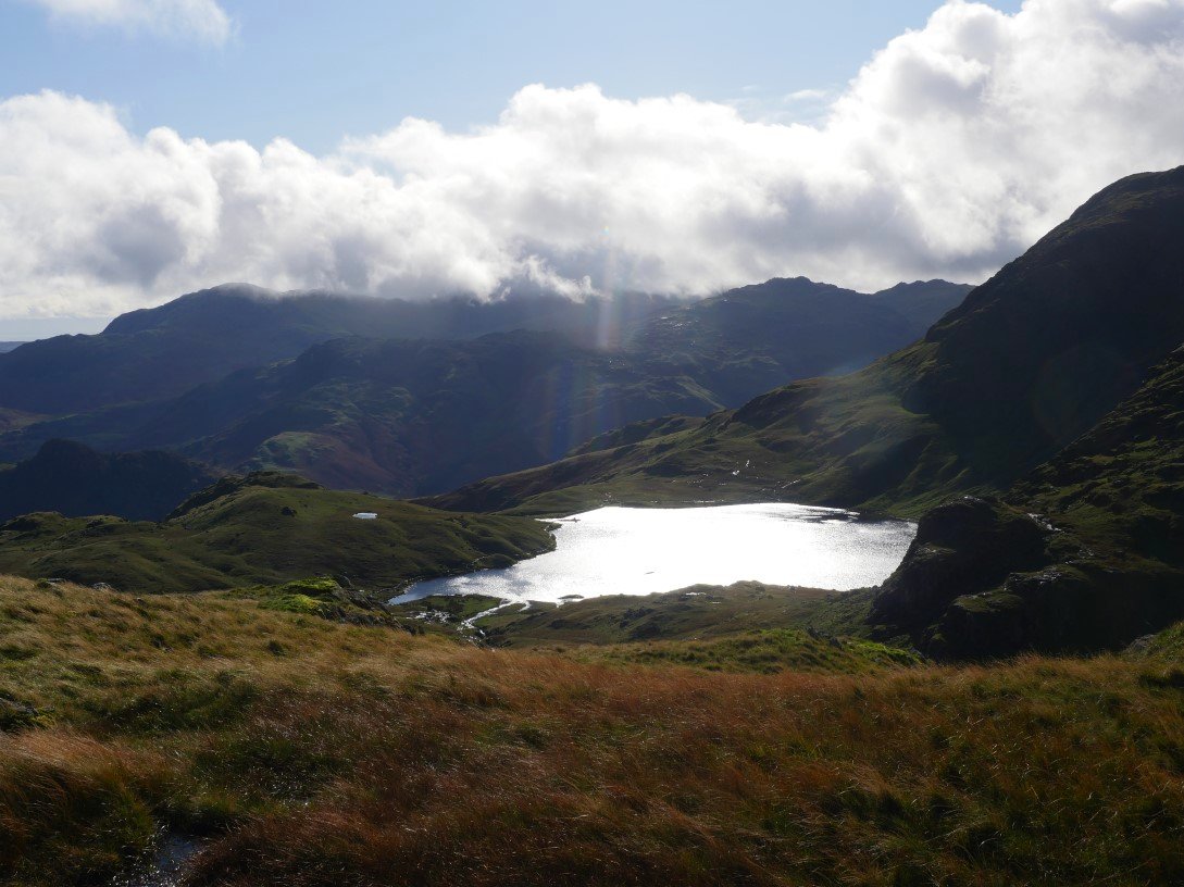
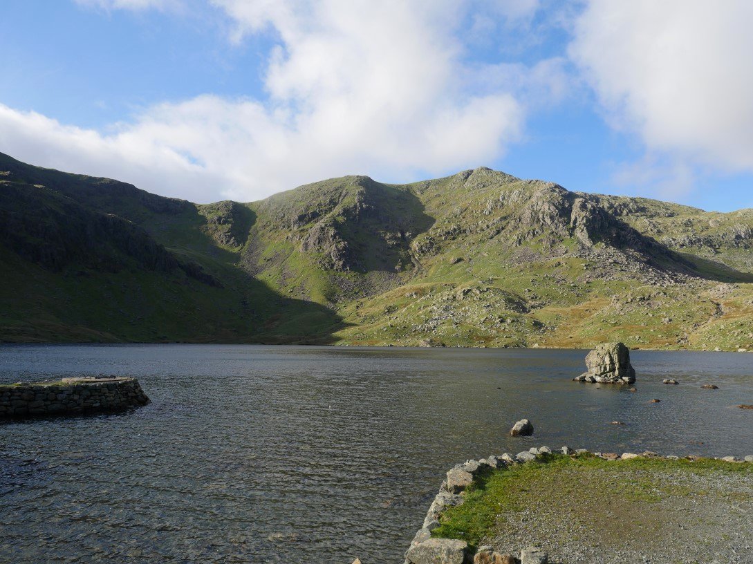
Stickle Tarn shining in the afternoon sunshine.
The view northwards to Skiddaw and Blencathra from Sergeant Man.
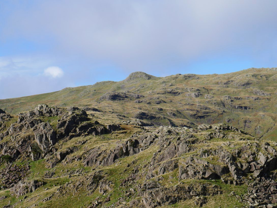
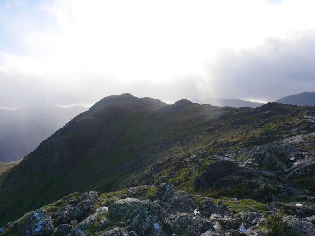
It's not very far from Sergeant Man to Thunacar Knott but in the time it took me to walk there the blue sky had gone and had been replaced by freezing hail. Harrison Stickle is nearly lost in the murky weather.
And again it's not very far from Thunacar Knott to Pavey Ark but the blue sky is back again.
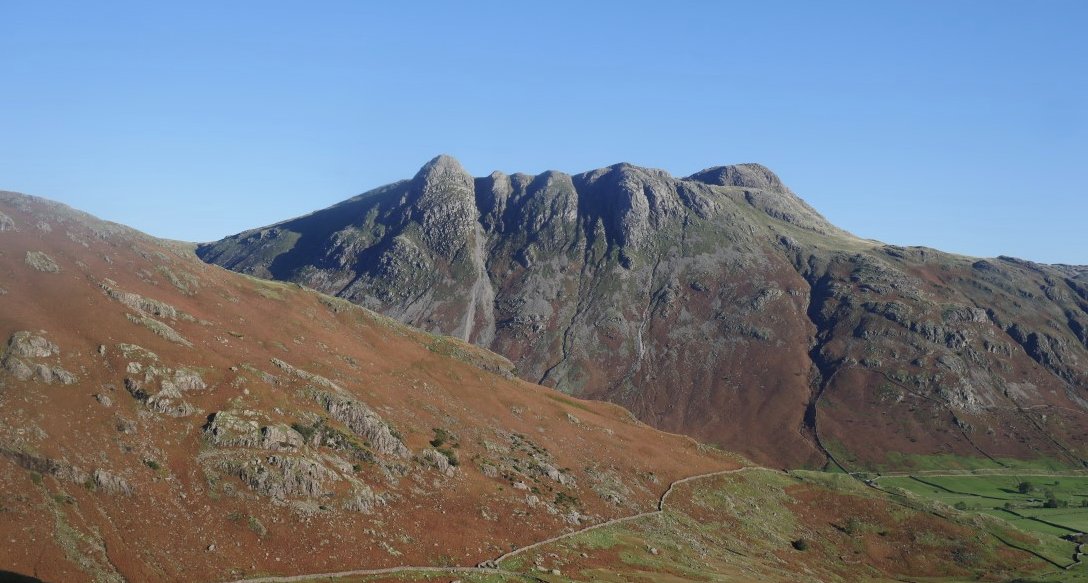
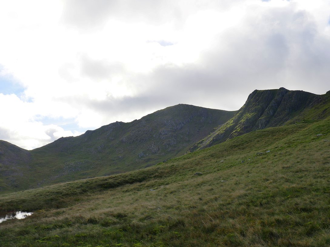
View down to Stickle Tarn and Lingmoor Fell from Pavey Ark.
From Pavey Ark I had intended to climb Harrison Stickle but just after I took this photo the hail returned and after a few minutes was joined by sleet so I made the decision that I would head to the valley floor even though the forecast was for the the bad weather to pass through and it might possibly be a fine night.
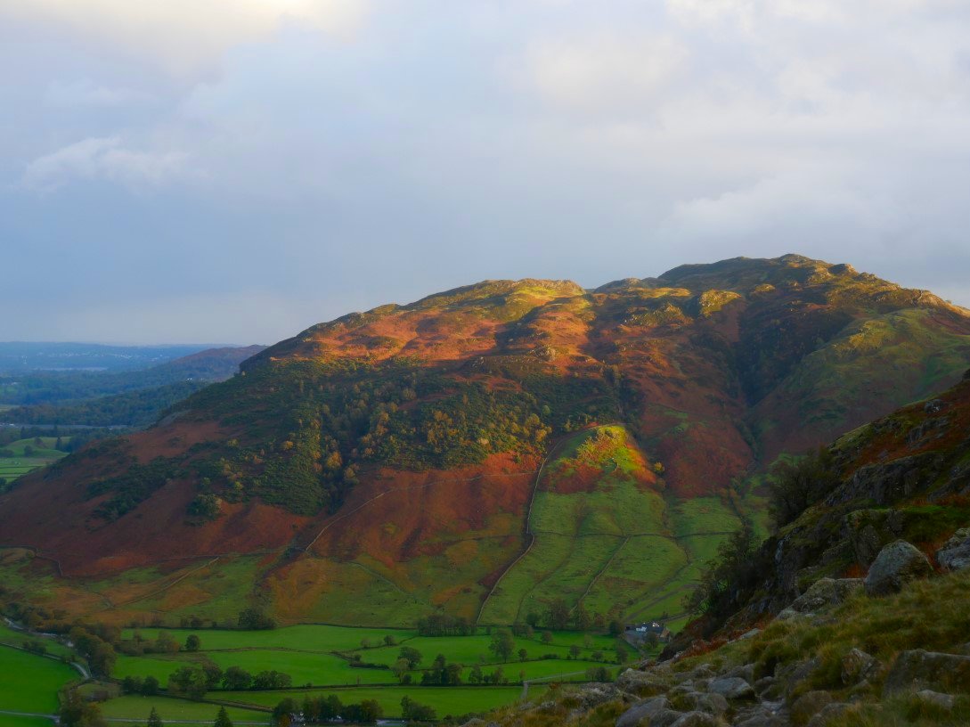
And sure enough the skies cleared and there was nice sunset light on Lingmoor as I descended but my mind was made up and I decided to camp at the National Trust Great Langdale campsite
Looking back up the path from valley level.
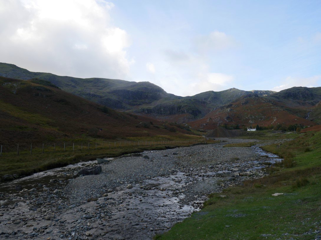
A beautiful but very chilly Sunday morning. I made my way from the campsite to Stool End farm from where there is a great view along Mickleden to Rossett Pike.
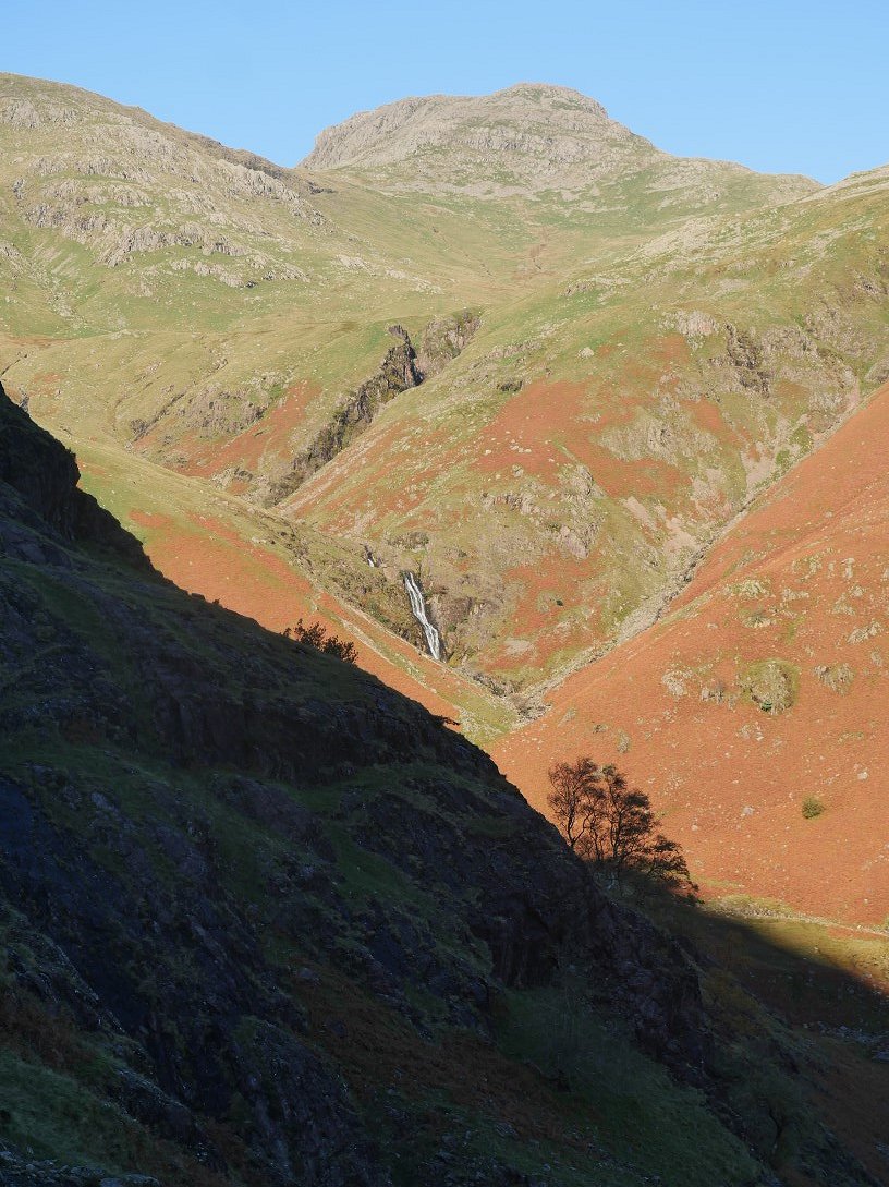
The steep climb up by Browney Gill soon warmed me up. Here I'm looking across to Whorneyside Force and Bowfell.
Looking over to the Langdale Pikes from the climb.
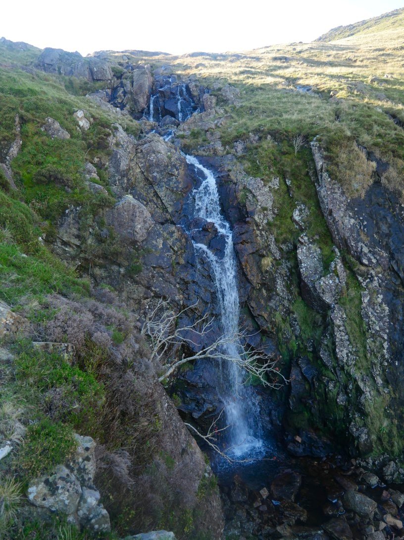
The waterfall passed just before you reach the top of the Browney Gill path.
After the stiff climb it's nice to have half an hour of level and downhill walking past Red Tarn. The Coniston fells which I have to climb over are waiting above Wrynose pass.
On such a nice day it was no surprise to see that the top of the pass was very busy which had led to a bit of creative parking. I crossed the road and started the climb up to Wet Side Edge.
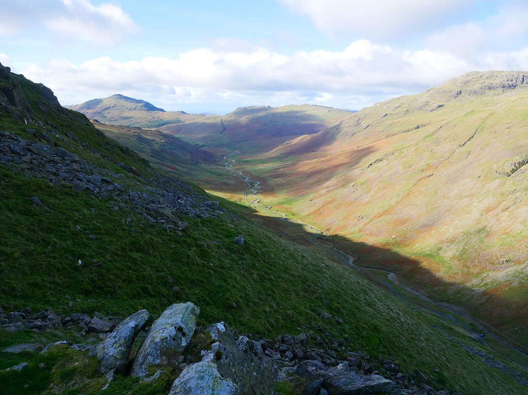
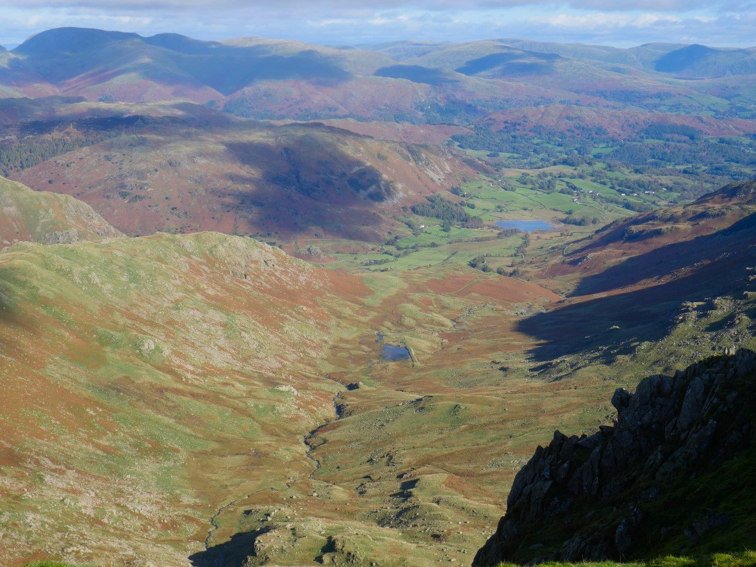
The cracking view along Wrynose Bottom to Harter Fell and Hard Knott.
On to Wet Side Edge looking up to Great Carrs and Swirl How.
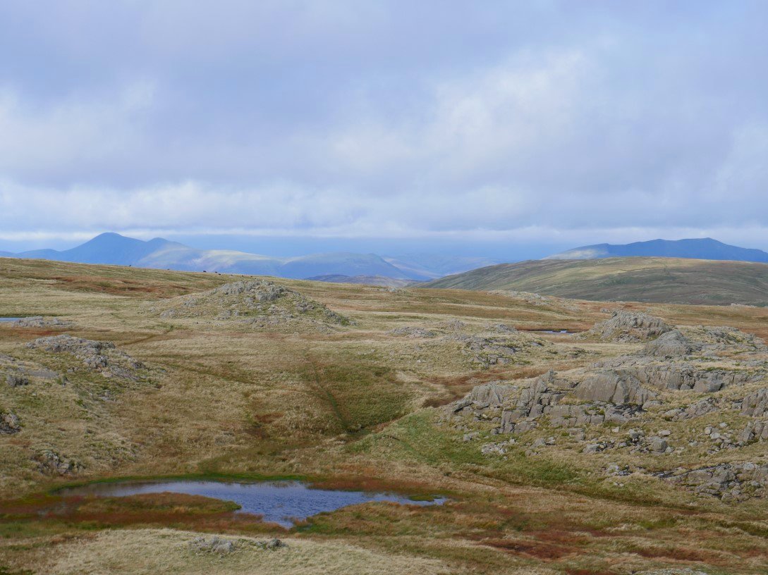
Again the cool air gave pin sharp views to the east.
Greenburn and its reservoir with Little Langdale Tarn next in line..
And in the other direction are the Scafell Pikes.
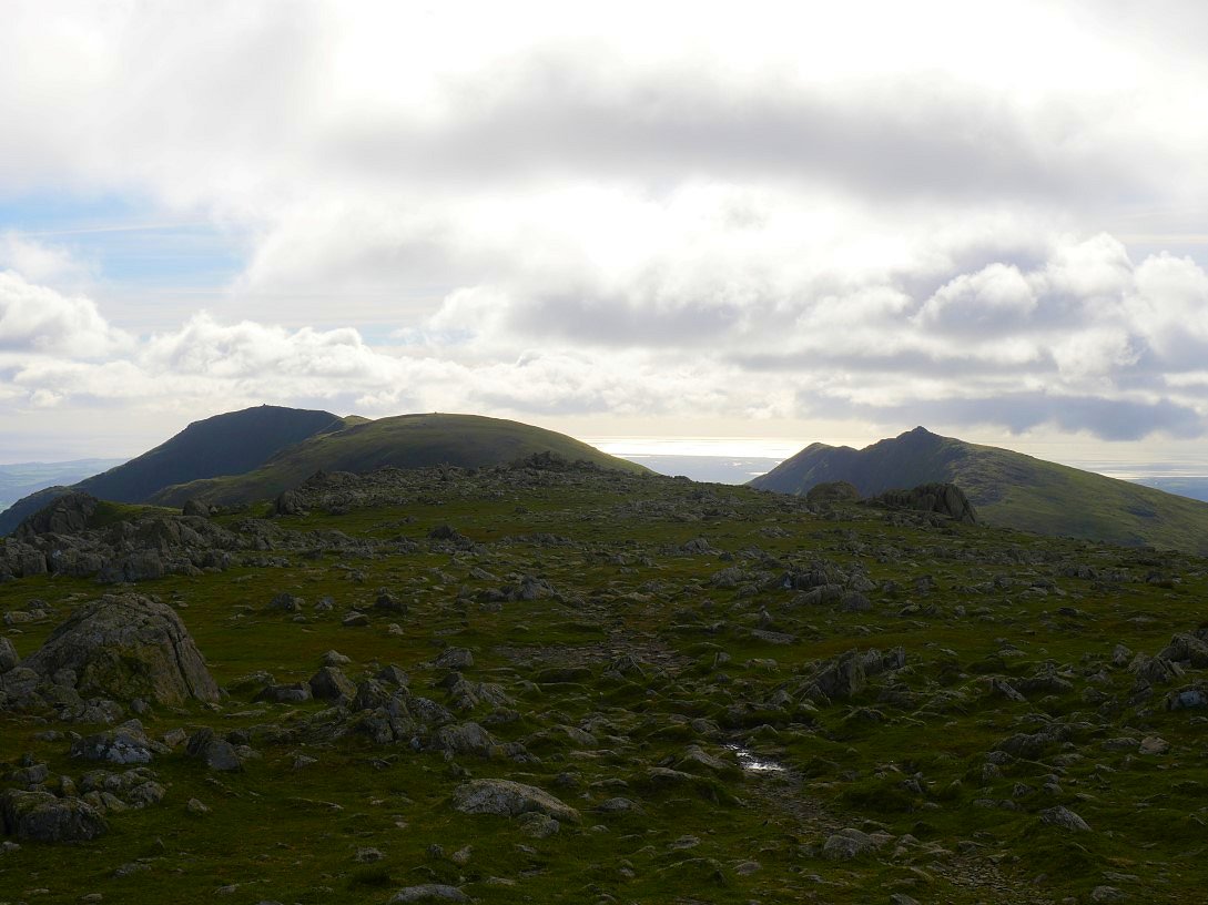
Brim Fell and Coniston Old Man on the left and Dow Crag on the right.
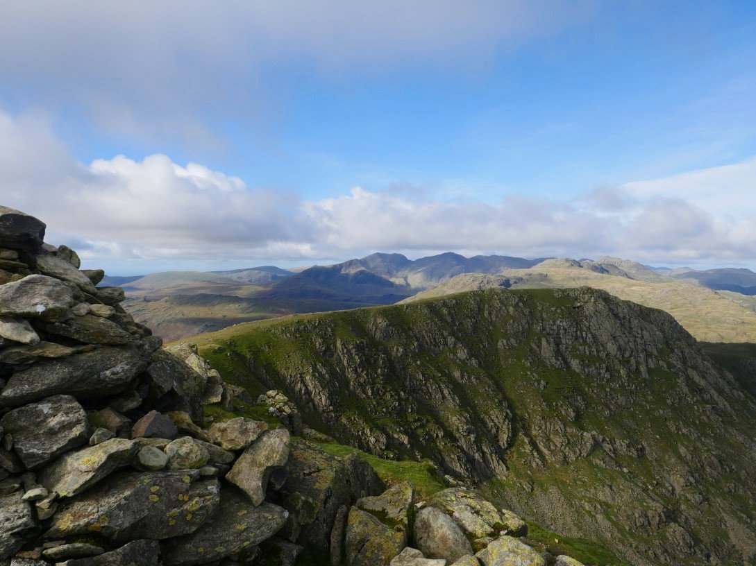
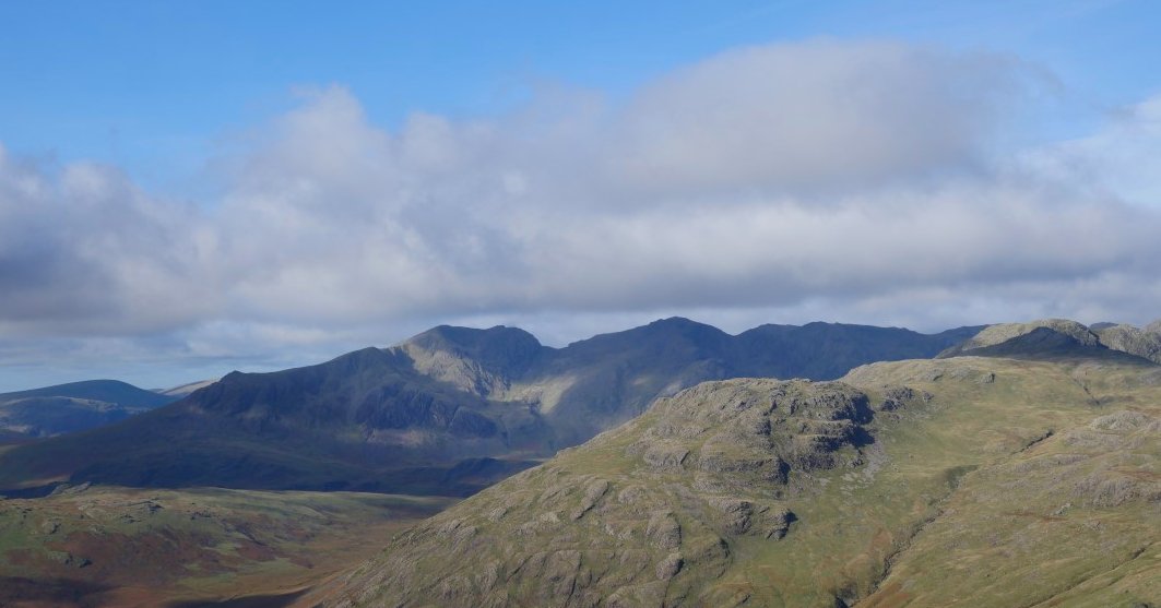
Looking back from Swirl How past Great Carrs to Crinkle Crags, Bowfell and the Scafell group.
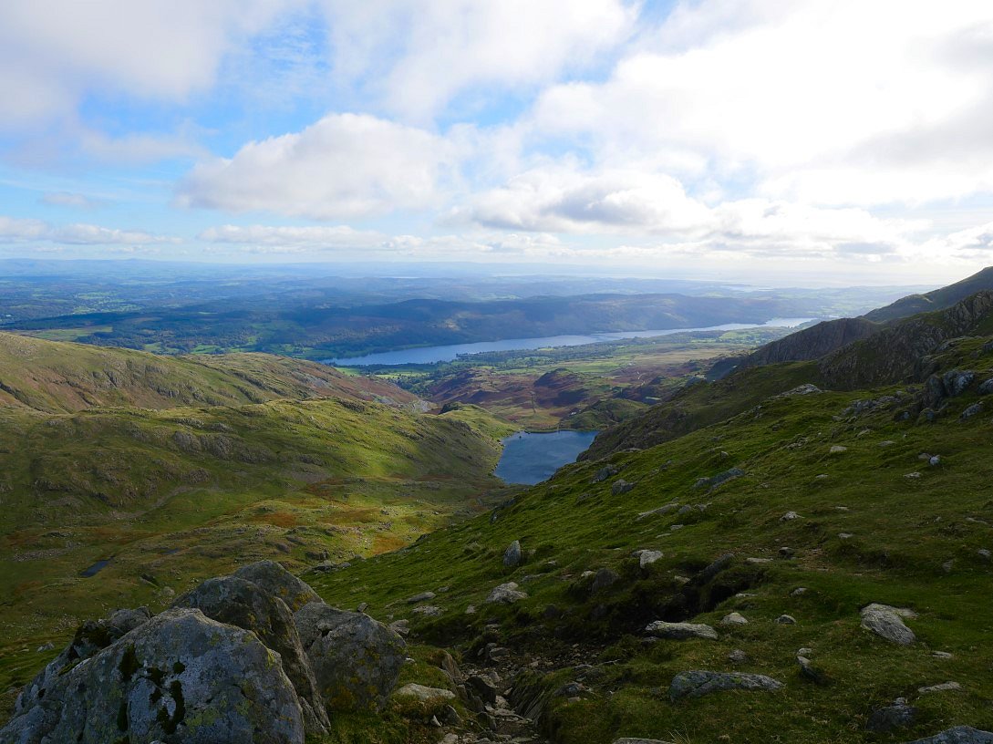
Levers water and Coniston Water seen from the drop down the rough Prison Band path.
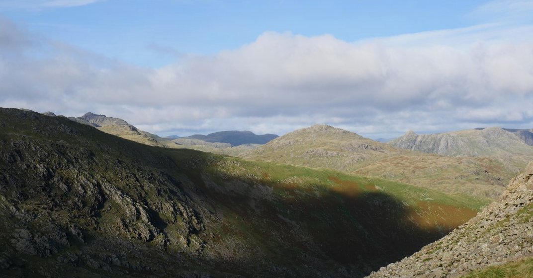
I'm down to Swirl Hawse now. Bowfell, Pike O' Blisco and the Langdale Pikes all in a line from left to right.
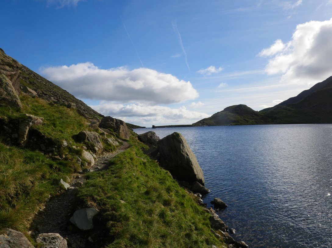
The path down from Swirl Hawse was quite muddy and very slippery underfoot so I was glad to reach the rough but dry path along by Levers Water.
Great How Crags from the dam.
A last look back along the Coppermines valley and it's not too long before I'm back at my car.
Previous walk - Around Deepdale - Next walk - Around Hebden Bridge