WWW.KARLSWALKS.CO.UK
PICTURES AND TRIP REPORTS FROM MY WALKS IN THE ENGLISH LAKE DISTRICT
|
|
|
|
||||
|
|
|
|
|
|
|
|
E-mail - karl@karlswalks.co.uk |
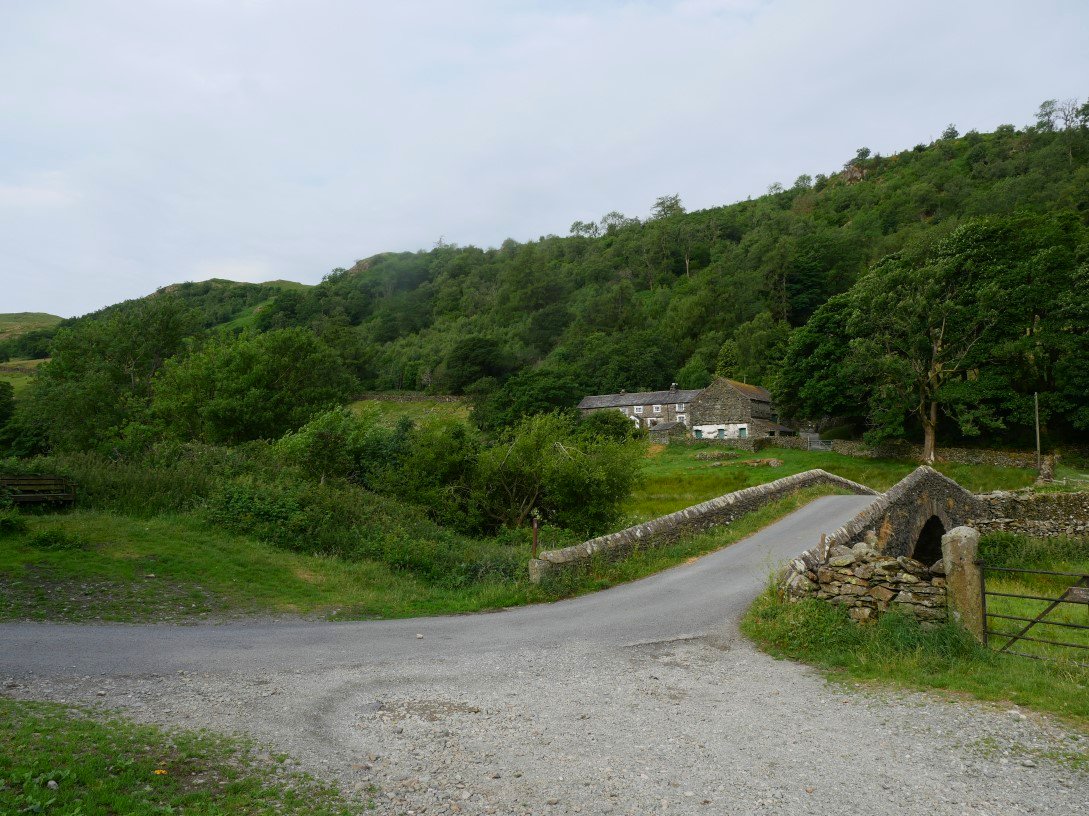
Rain was forecast to reach the lakes by early afternoon so we ( David, Emily and I ) made an early start from Sadgill and headed up the path to Kentmere.
The bridge at Sadgill.
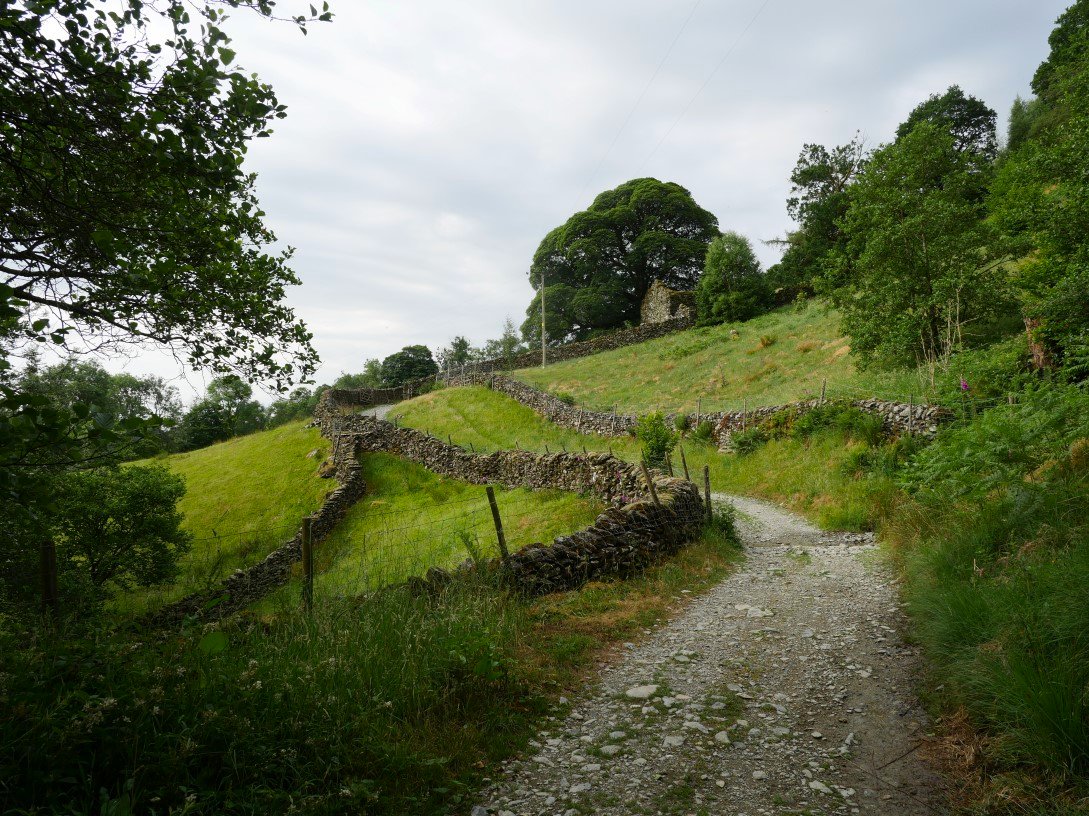
The track climbs away from the valley but isn't particularly steep.
And pretty soon you have a view back down to the lovely Longsleddale valley.
After reaching the top of the pass you descend a few yards to a gate where the harder work starts as you climb Wray Crag.
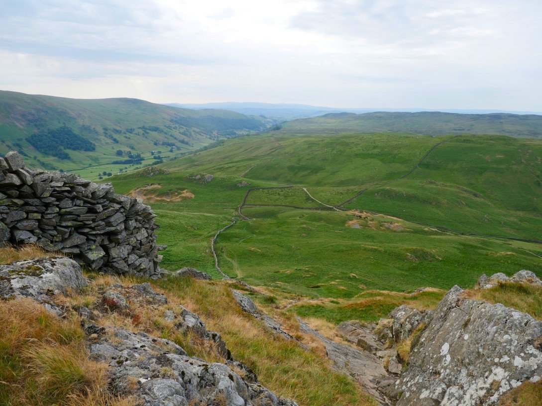
Looking back to Cocklaw and the Green Quarter fells from the climb.
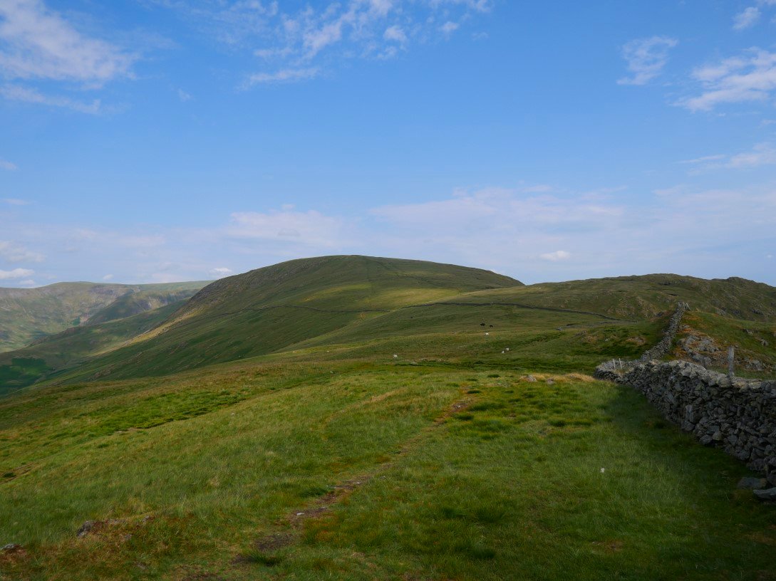
The path levels off as you reach Wray Crag and you then have a view across the Kentmere valley to the fells of the Ill Bell ridge.
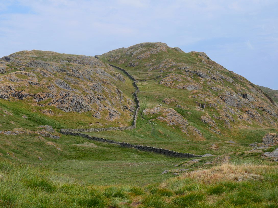
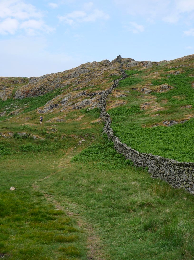
The steepest climb of the day is up by the wall to Shipman Knotts.
.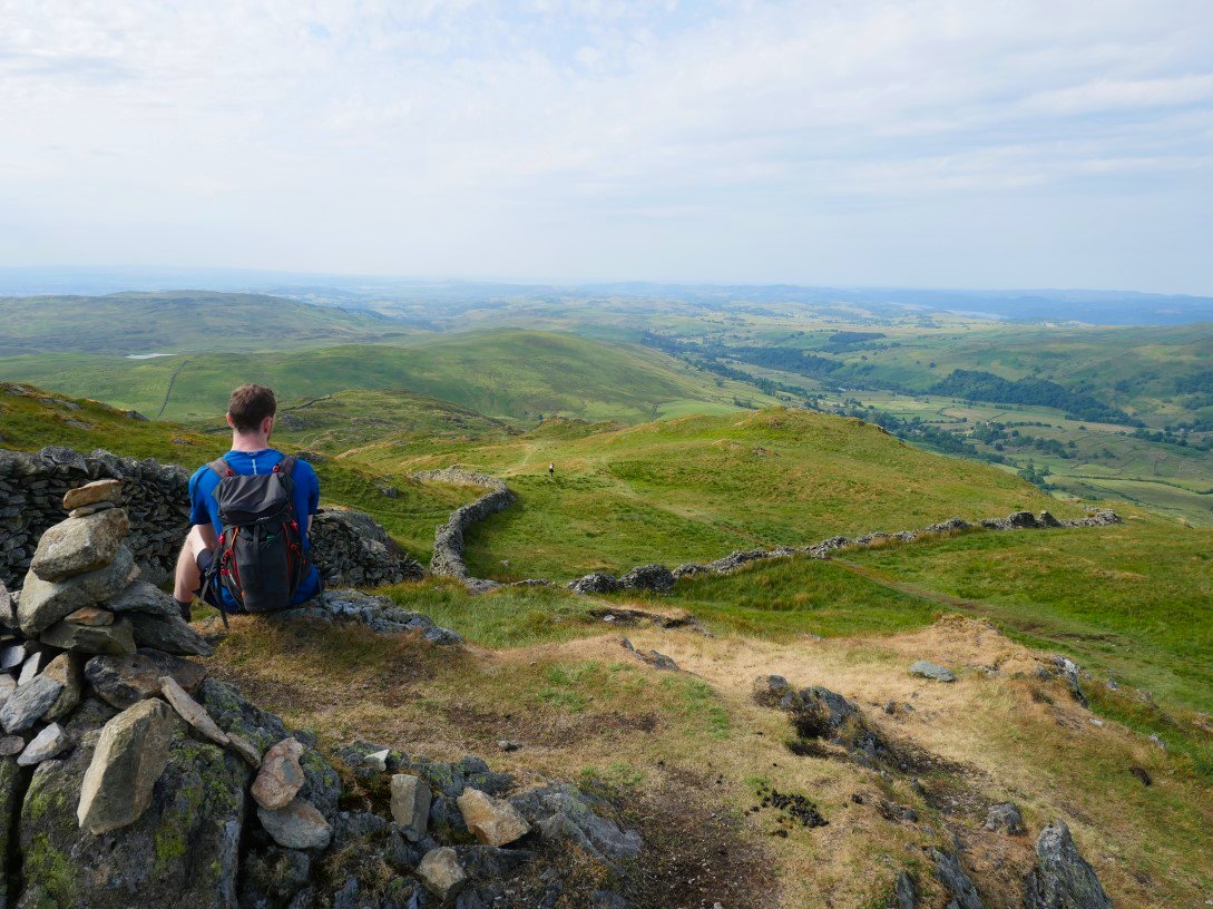
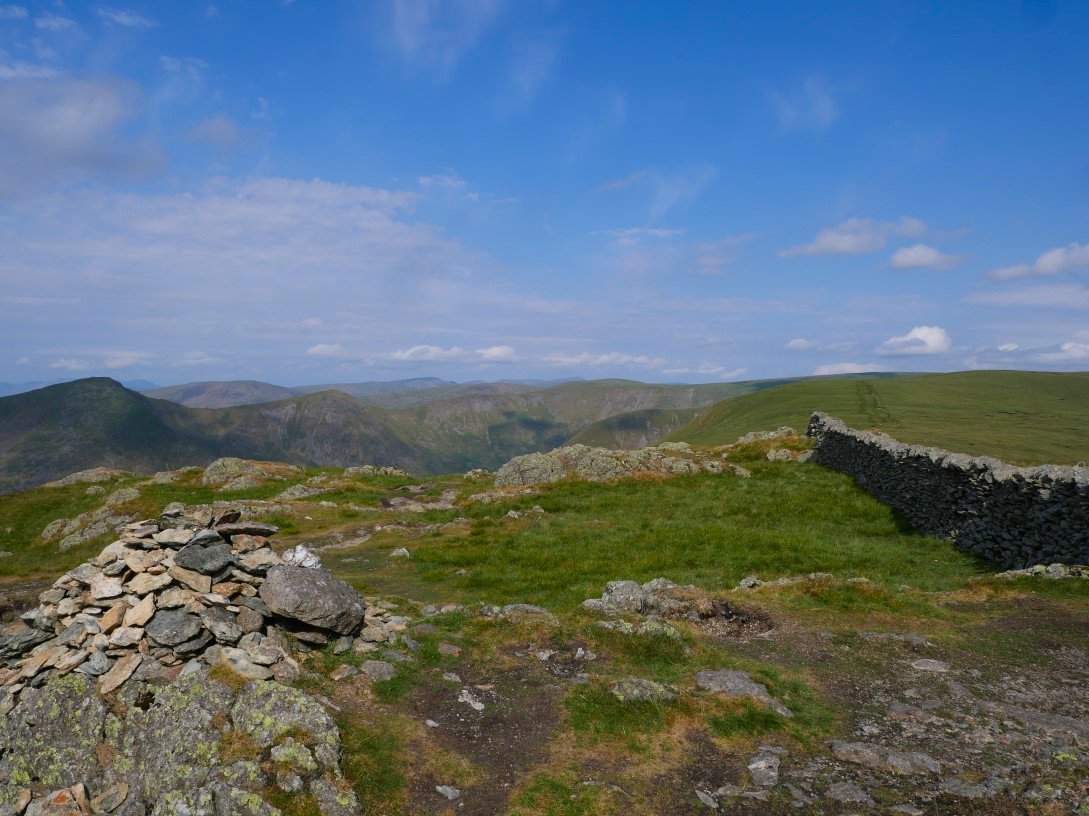
David taking in the view southwards from Shipman Knotts. Skeggles Water is the tarn seen below.
Next stop Kentmere Pike. Around here a lady asked us if Coniston Old man was nearby which had us scratching our heads till she showed us the map on her phone and we realised she was looking at the "other" Harter Fell in Eskdale.
Lovely cloud shadows on the valley and Ill Bell Ridge.
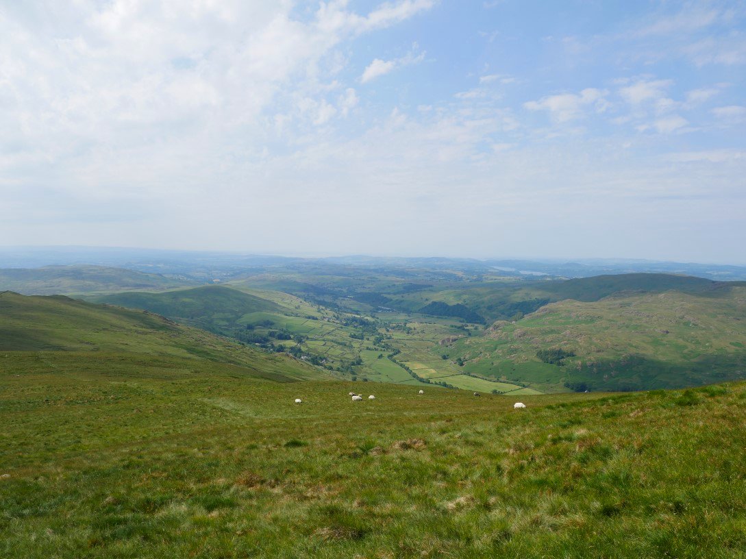
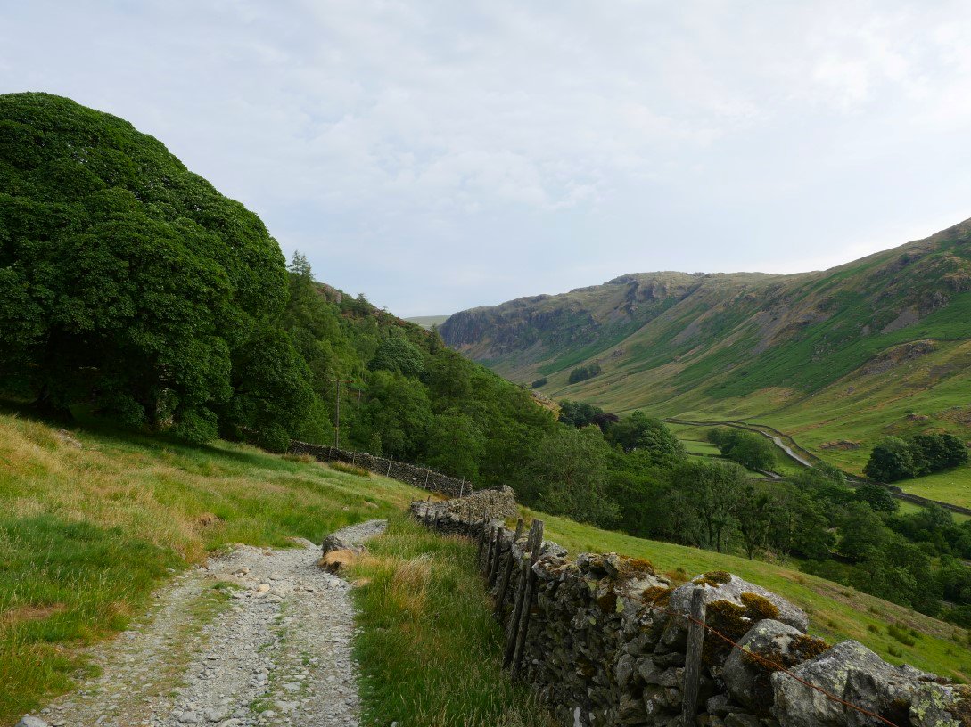
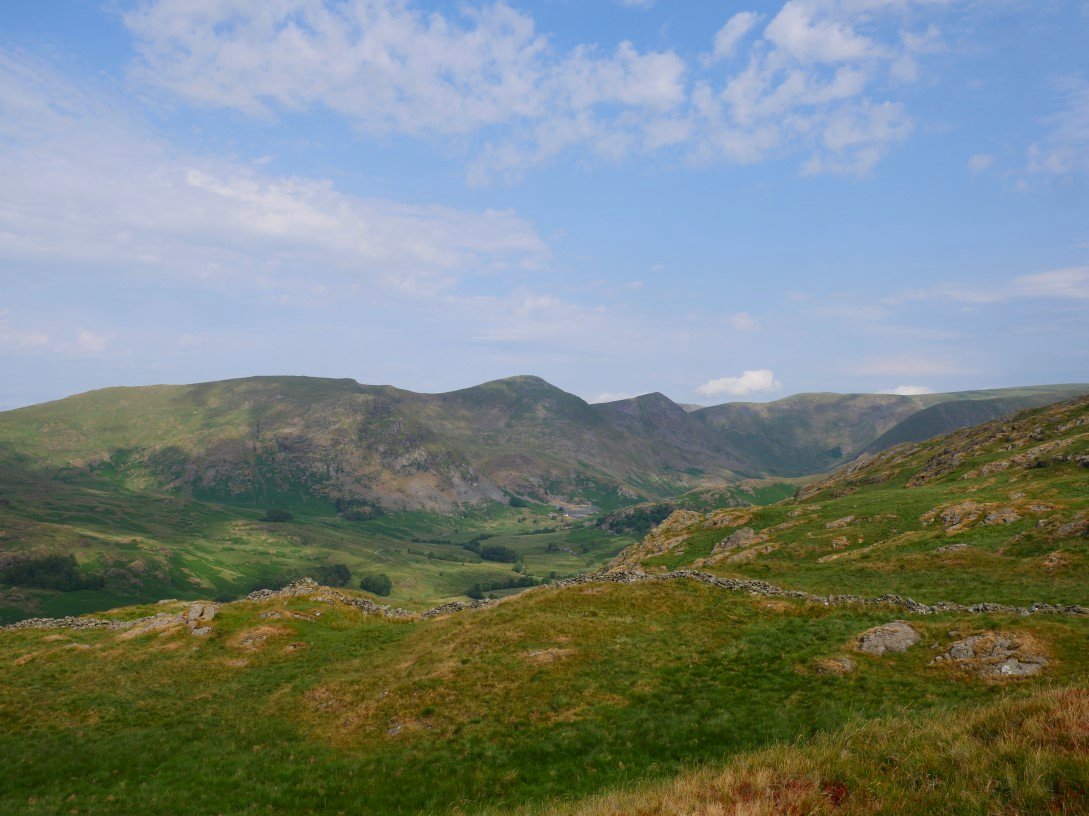
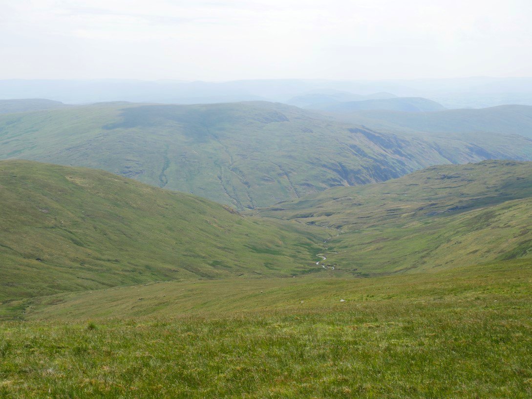
The lower Kentmere valley from the climb to Kentmere Pike.
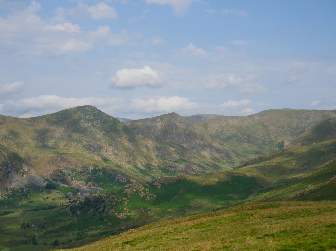
And our onward path to Harter Fell ( Mardale ) from Kentmere Pike.
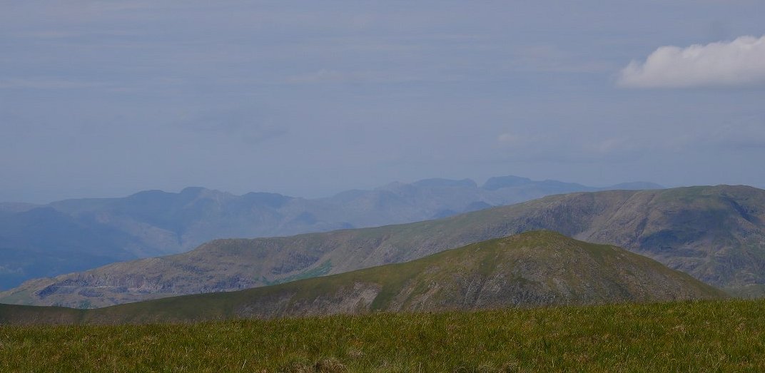
Froswick and Red Screes are the fells in the foreground with Scafell Pike in the distance centre right.
I have wanted to have a proper look at Wrengill Quarry for a while and whilst we could have followed the path down to the valley and walked back up to the quarry I decided that we would go off piste for a while and so climbed over the fence on Harter Fell and descended the hillside to meet up with Wren Gill and then would follow it down to the quarry.
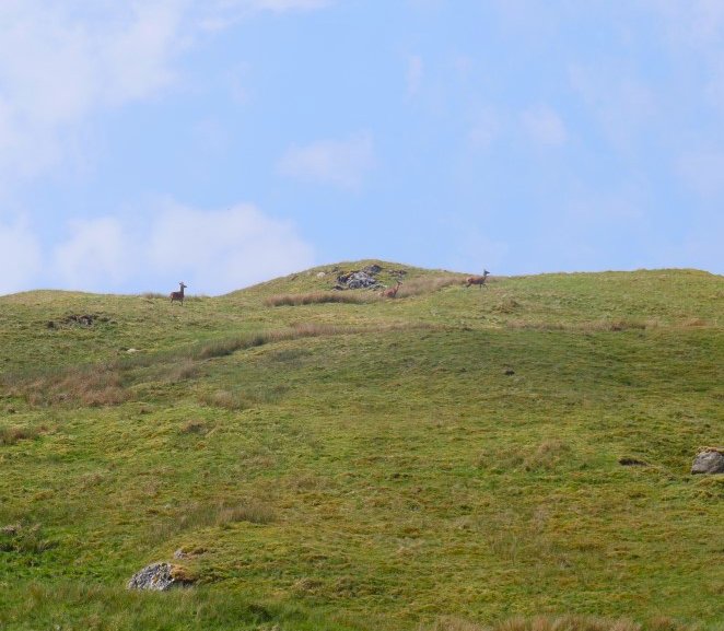
When we reached the gill we stopped for a break and spied a couple of deer on the fell above us.
Tarn Crag across Longsleddale from Wren Gill.
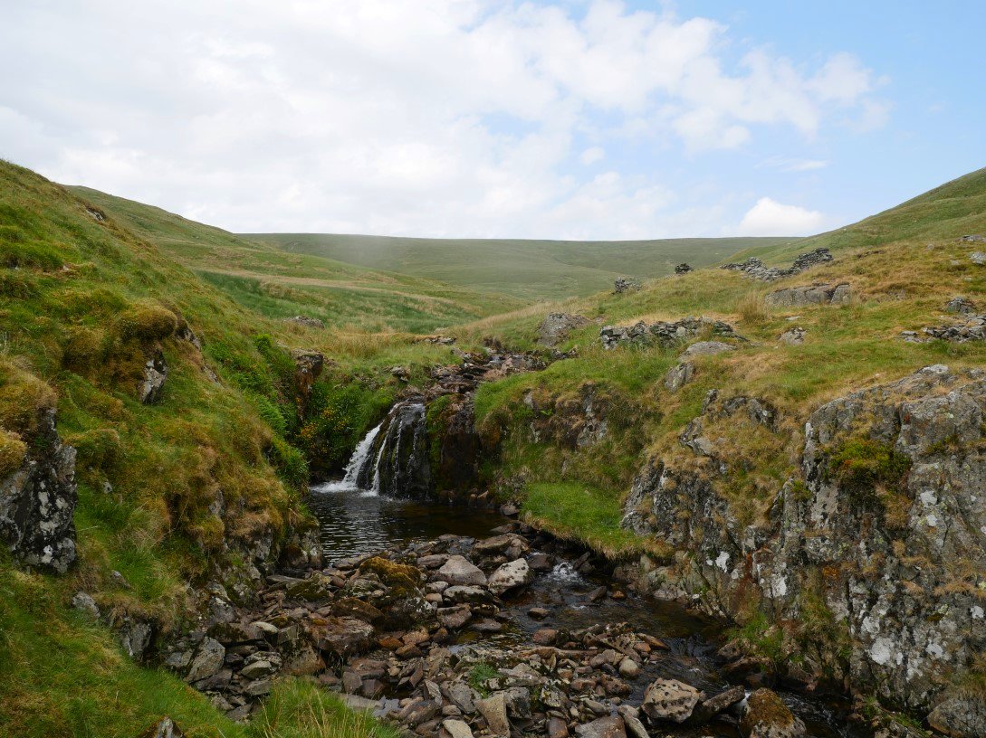
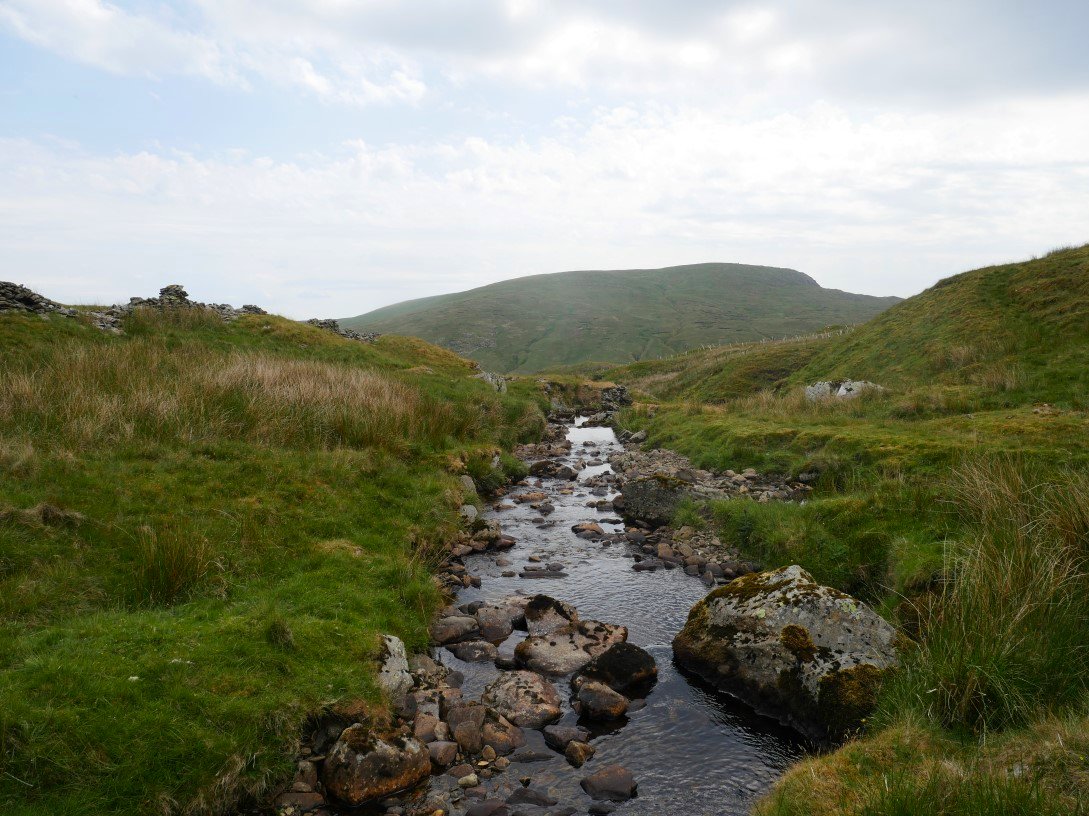
There were some nice falls and pools in the gill.
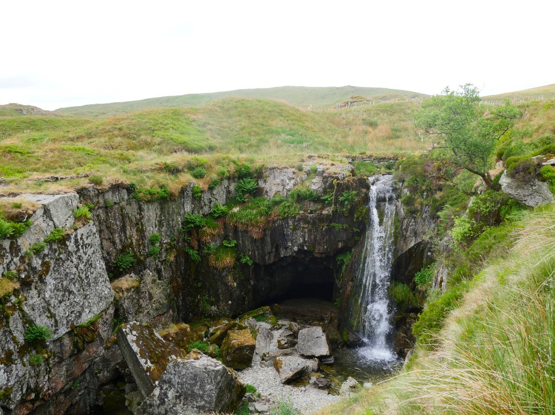
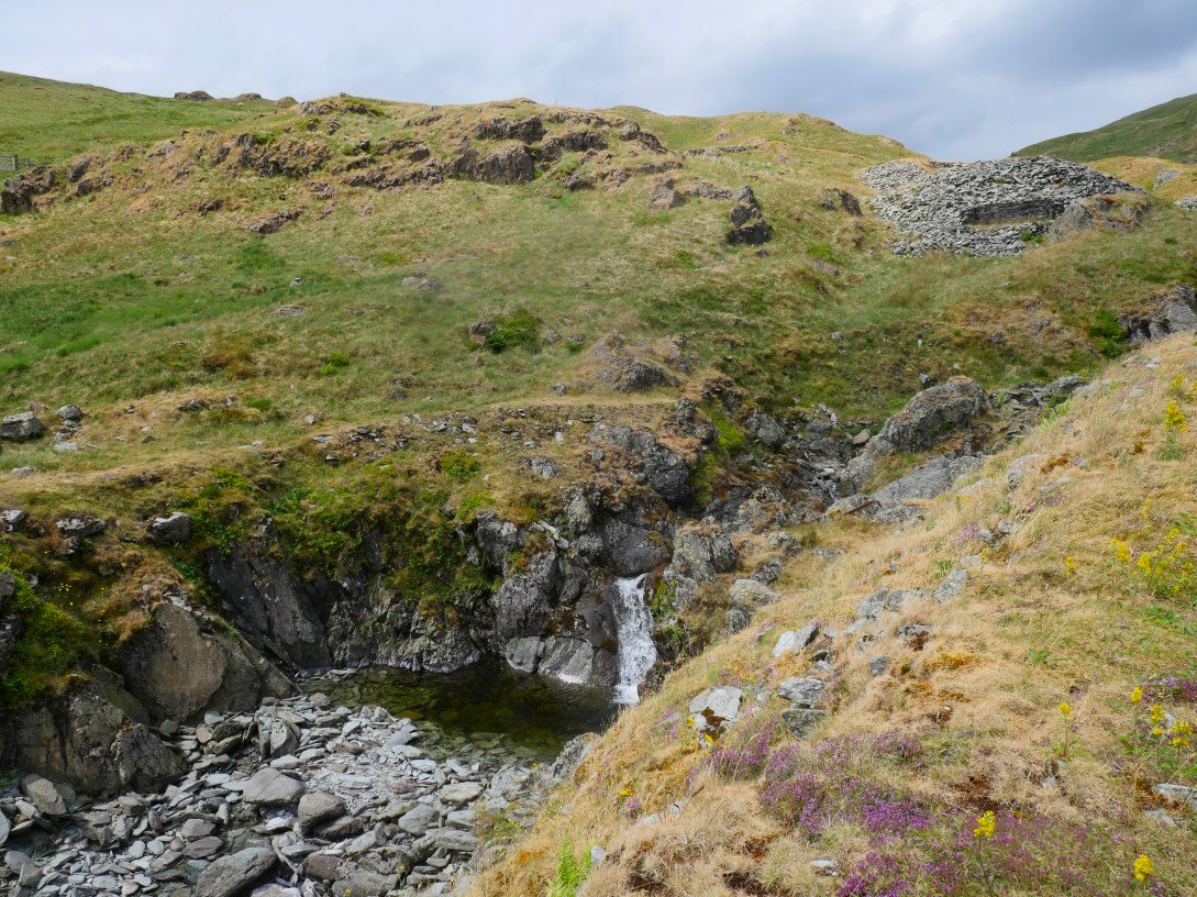
And a larger waterfall drops into the quarry.
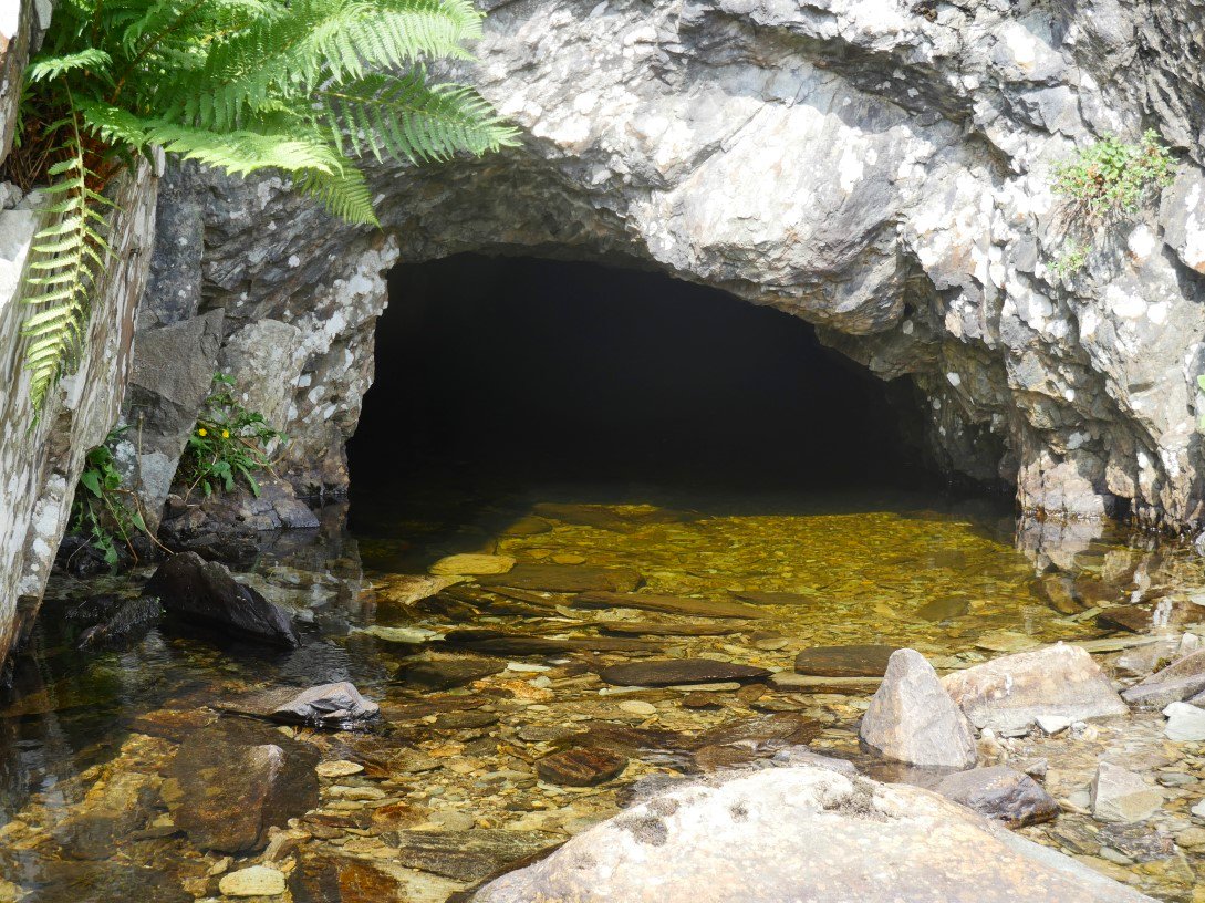
The cavern behind the waterfall.
The gill disappears into the ground through a rough jumble of rocks before it reaches this larger cavern.
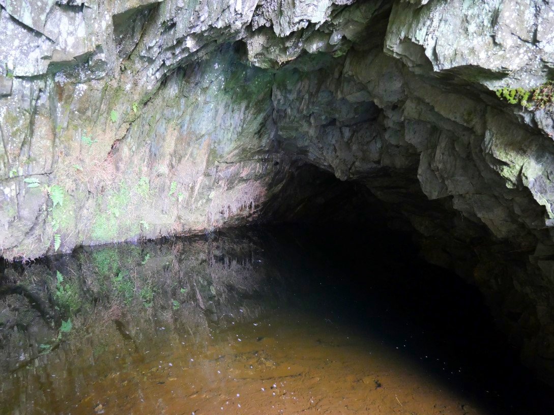
Around the other side from the waterfall there is a larger quarry hole and the stream reappeared out of this small tunnel .
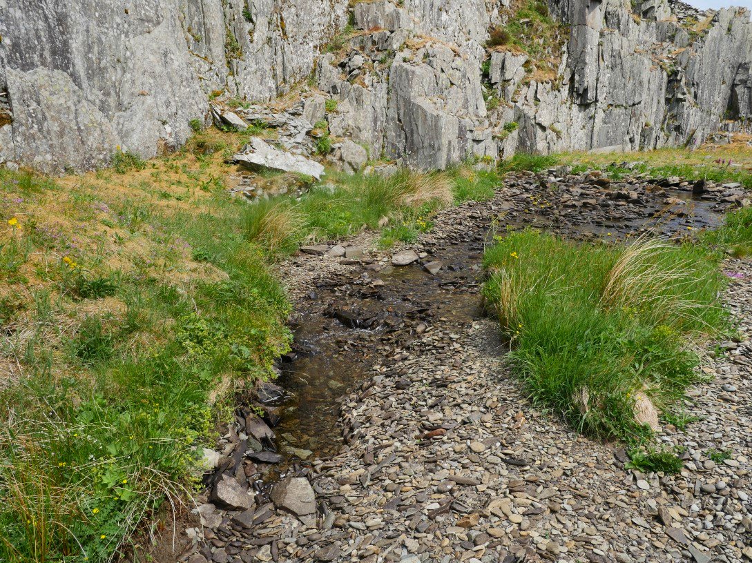
But then returned underground after a few yards. This was quite a puzzle as the water here is flowing back in the direction from which the gill has come down off the fellside.
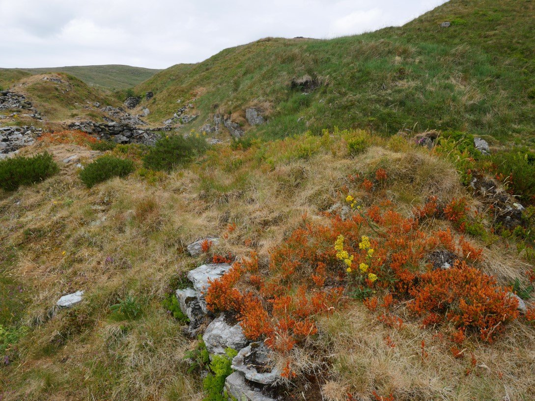
Some lovely Colourful flowers contrasting with the very dry grass.
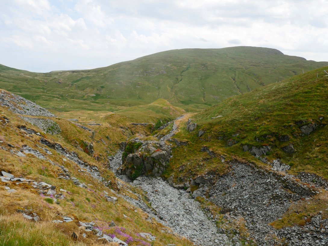
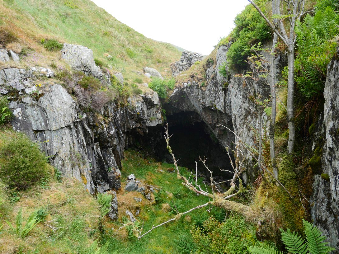
Following the quarry down and still no sign of the stream.
But eventually it reappeared and carried on to join the river Sprint.
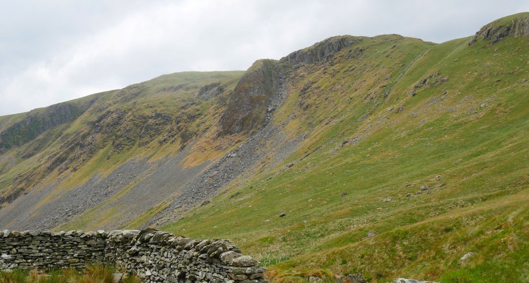
I think the rocky outcrop is Steel Pike on top of which I camped last year.
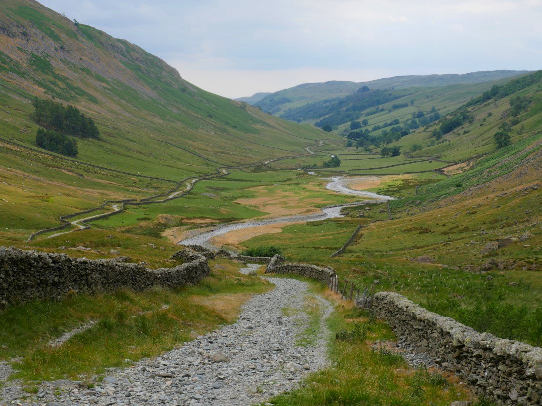
Looking down a very dry Longsleddale.
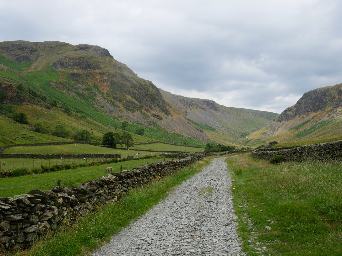
And looking back with Goat Scar on the left and Buckbarrow Crag on the right. The rain arrived as we were on our way home and for a while was pretty torrential which made the drive down the M6 quite interesting.
Previous walk - Along the Dodds - Next walk - 4 days in Muker