WWW.KARLSWALKS.CO.UK
PICTURES AND TRIP REPORTS FROM MY WALKS IN THE ENGLISH LAKE DISTRICT
|
|
|
|
||||
|
|
|
|
|
|
|
|
E-mail - karl@karlswalks.co.uk |
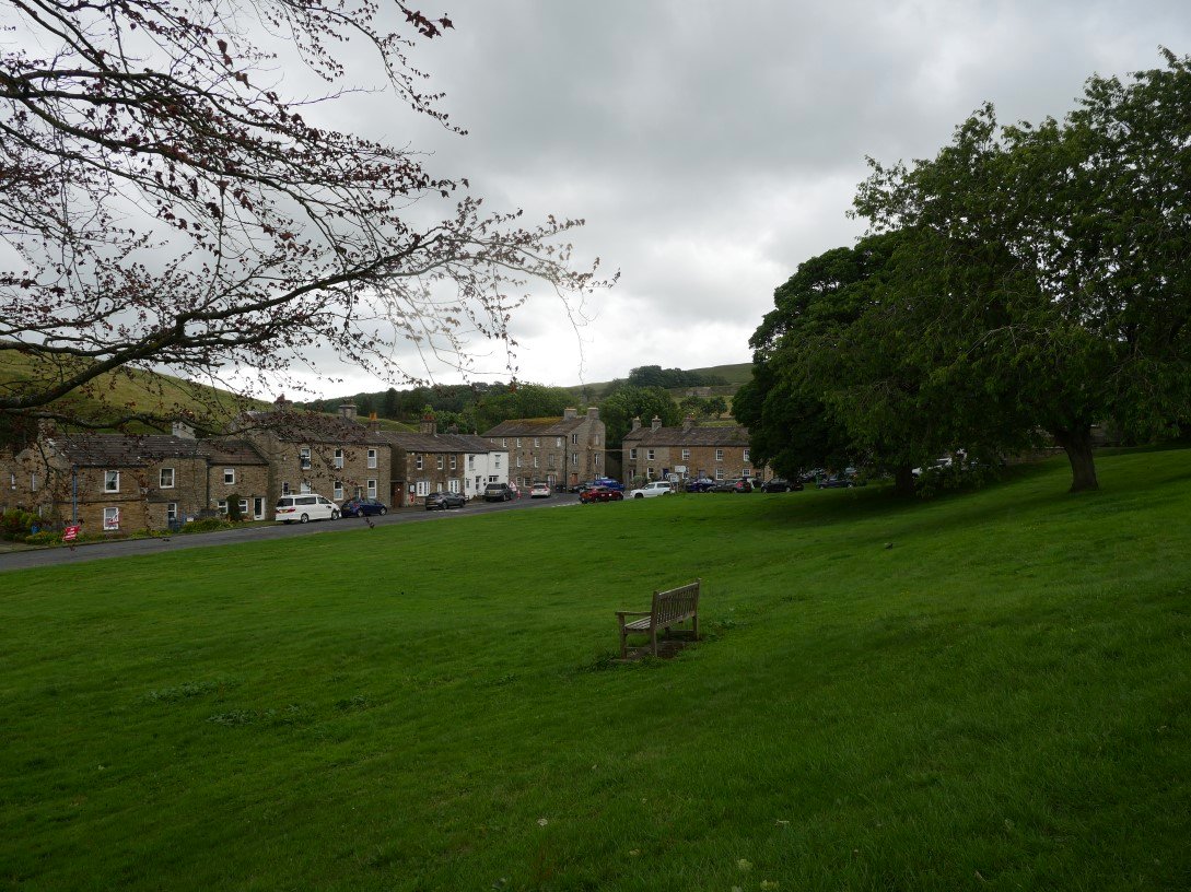
A change of scenery this week as Sue and I spent four days based in the beautiful village of Muker. The weather forecast was for showers every day we were there but we got quite lucky and only had brief periods of light rain and warm sunshine for the rest of the time.
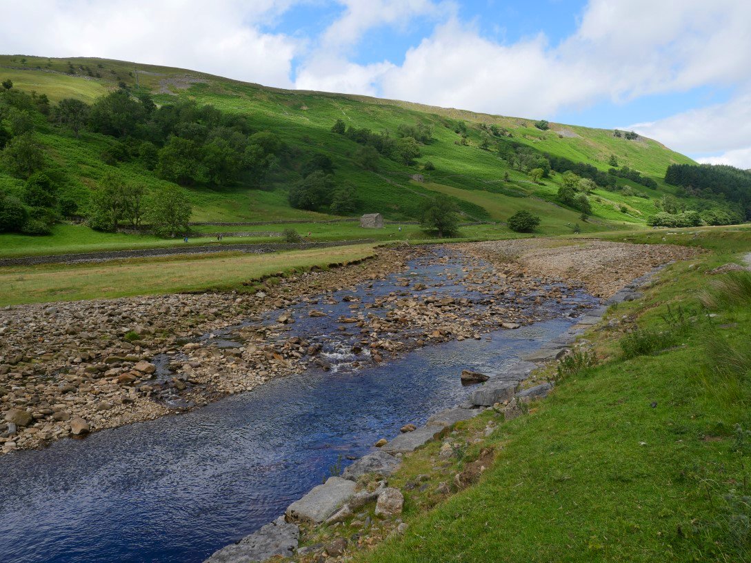
Arriving late morning we walked straight from the car and followed the Swale northwards in the direction of Keld.
Our return route can be seen high on Kisdon Side above the line of bracken.
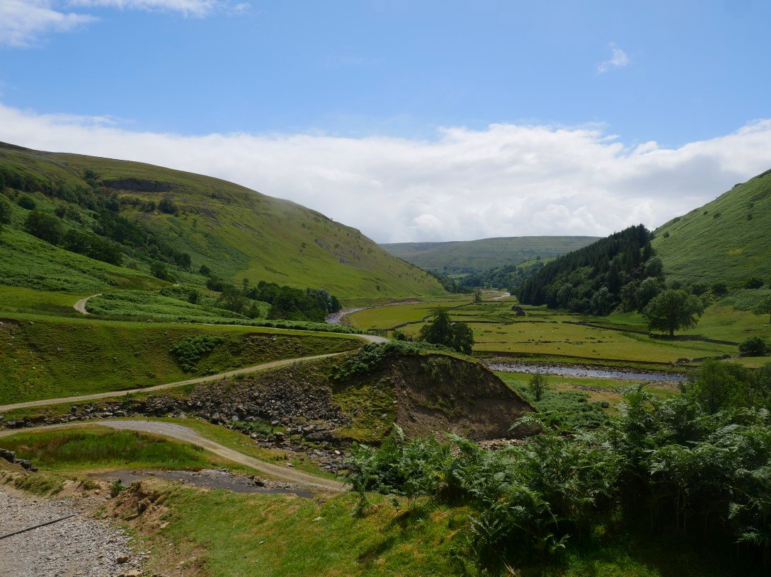
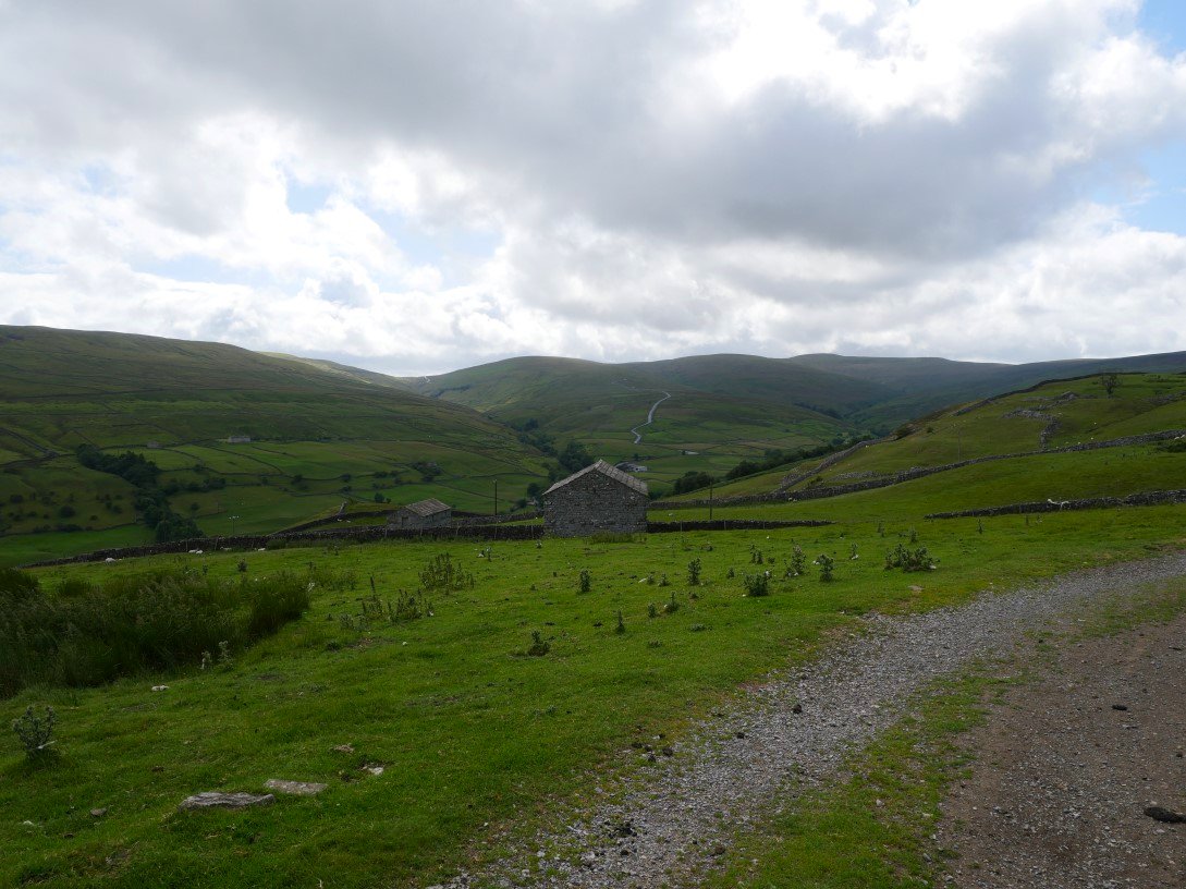
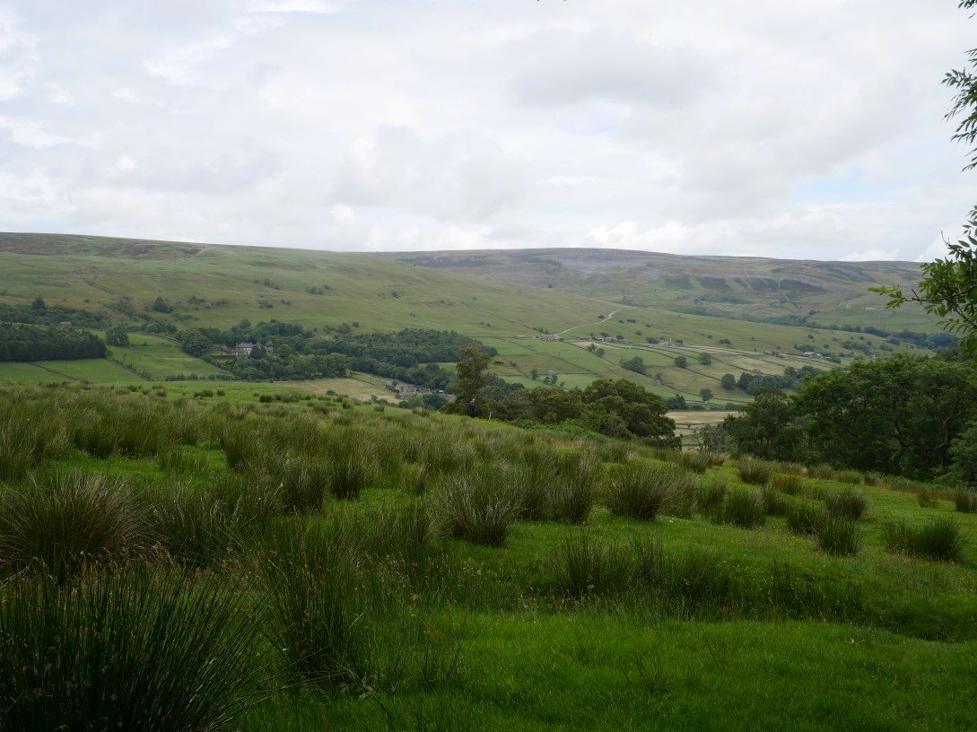
Looking back down the valley from just above Swinner Gill.
We had intended to walk into Keld for refreshments but realised we had both left our money in the car so we crossed over the river and joined the Pennine Way back to Muker.
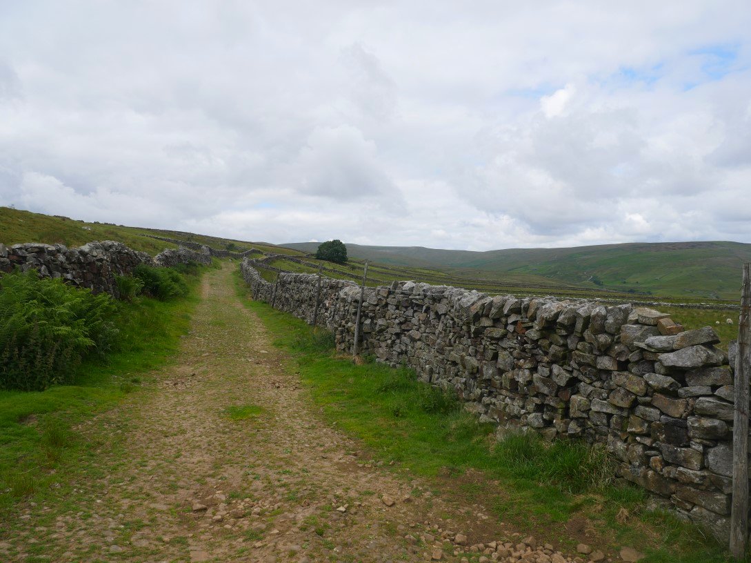
The Pennine Way is quite rough underfoot as it climbs around Kisdon Side. Our daily brief shower caught us here and although we didn't get really wet from above our trousers were soaked from the wet bracken.
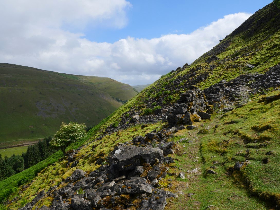
The sun soon came out though and we were quickly dry. We are still climbing but the path has become a bit less rough. Ivelet moor is across the valley.
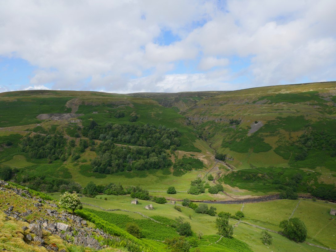
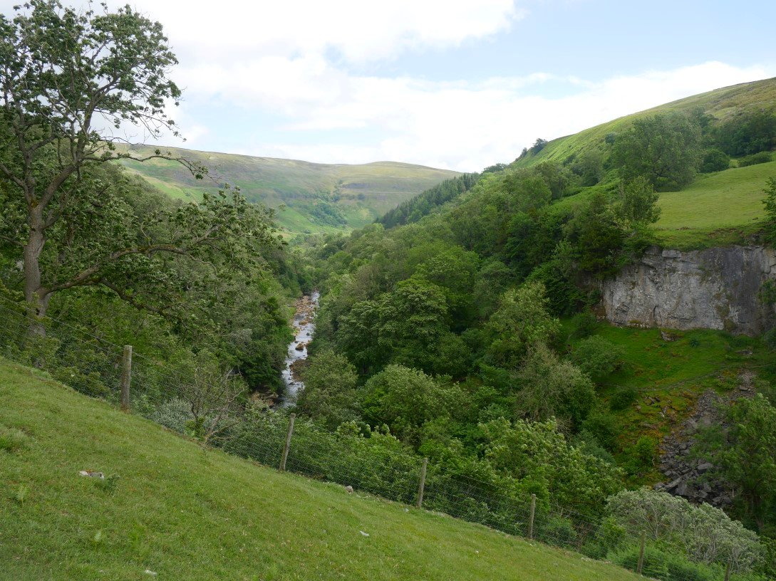
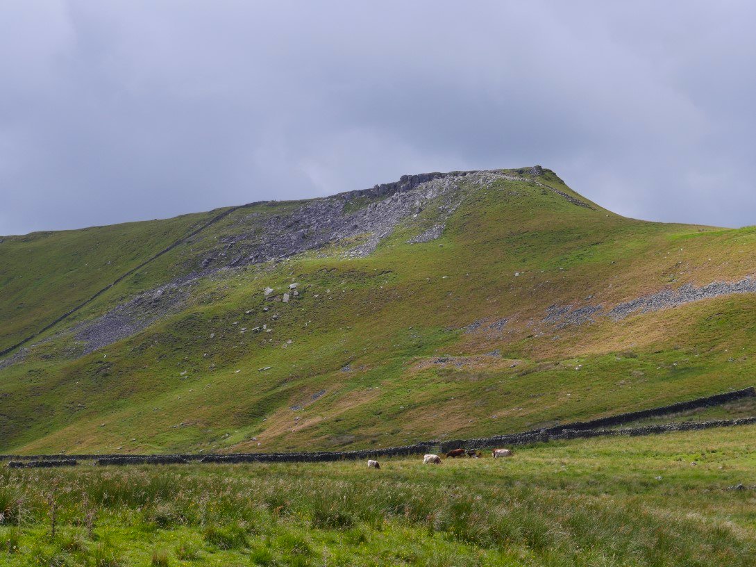
Looking down to Swinner Gill. Crackpot Hall is the ruin high on the hillside to the left.
.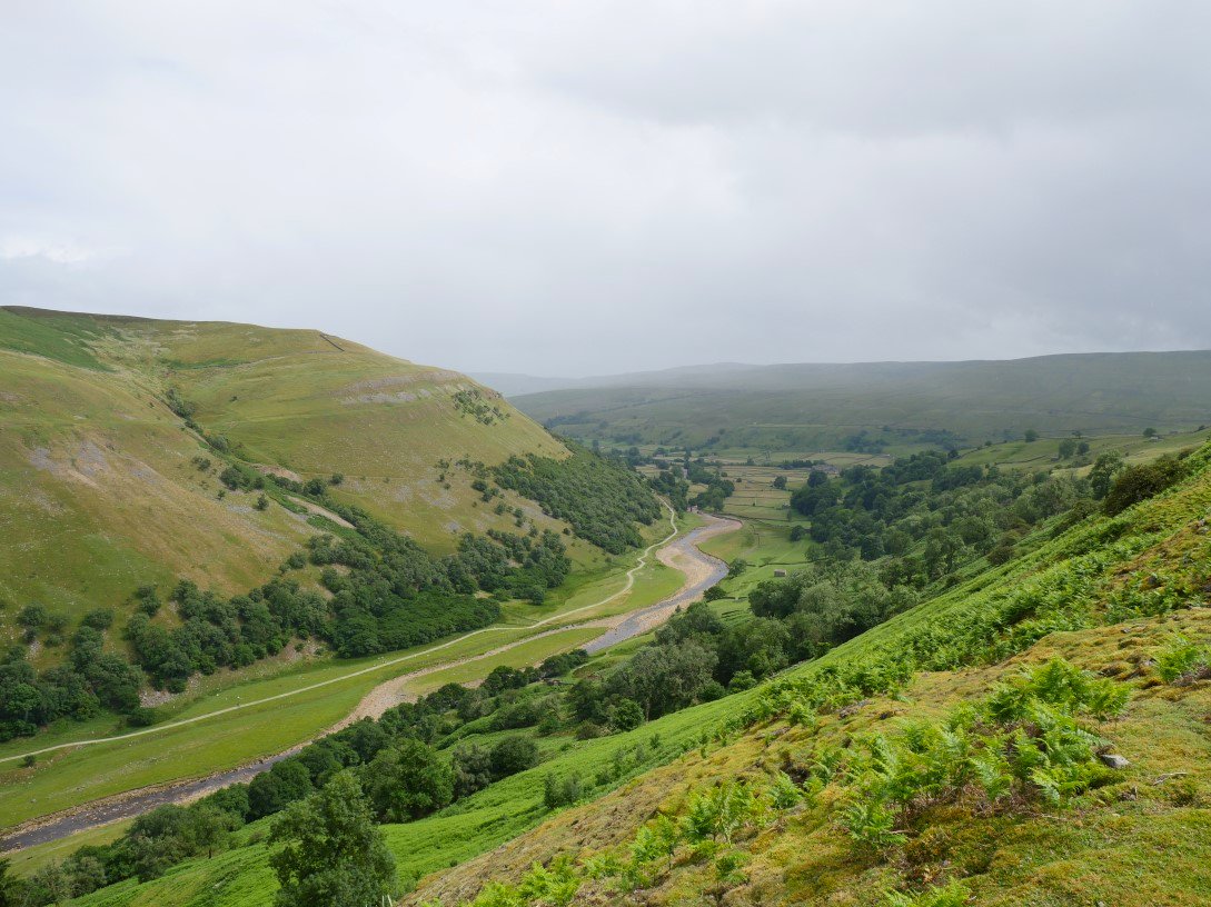
It looks like another shower is sweeping along Swaledale.
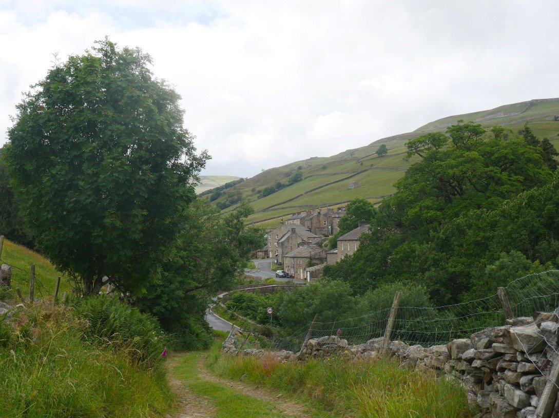
Our route and the Pennine Way part company and we walk down the hill to Muker.
A look in the other direction towards Great Shunner Fell and the Buttertubs Pass road.
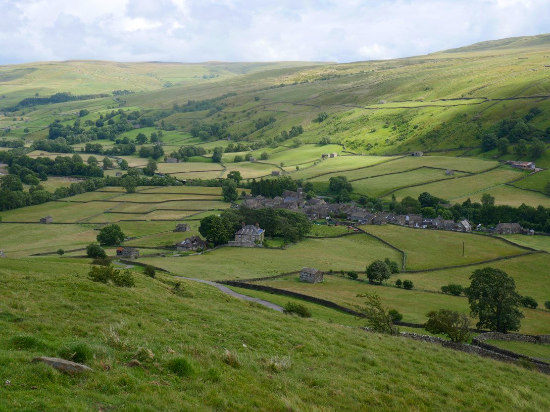
Muker below us. Unfortunately just after I took this picture Sue took a tumble and quite badly cut her knee which she managed to patch up without going to A and E. She was in quite a bit of pain which meant that we had to rethink our intended walks and cut down on the distances we had planned.
We drove to the pretty village of Bainbridge today to have a walk visiting Semerwater.

Leaving the village on a gently rising path we soon had a view down to the river Bain which apparently is the shortest river in the country.
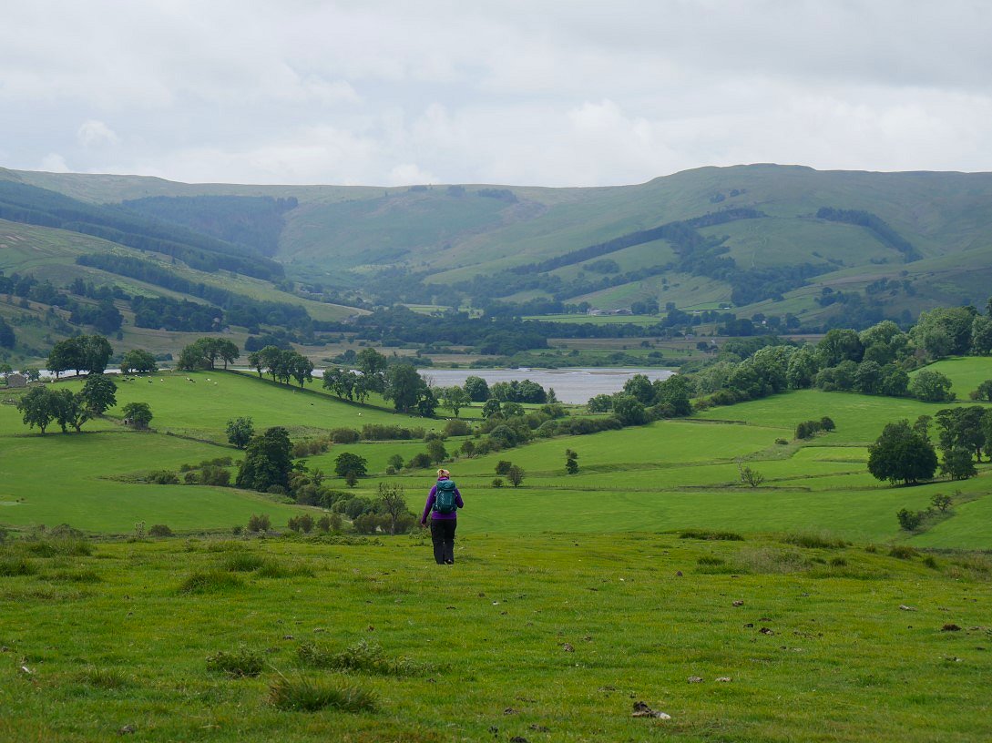
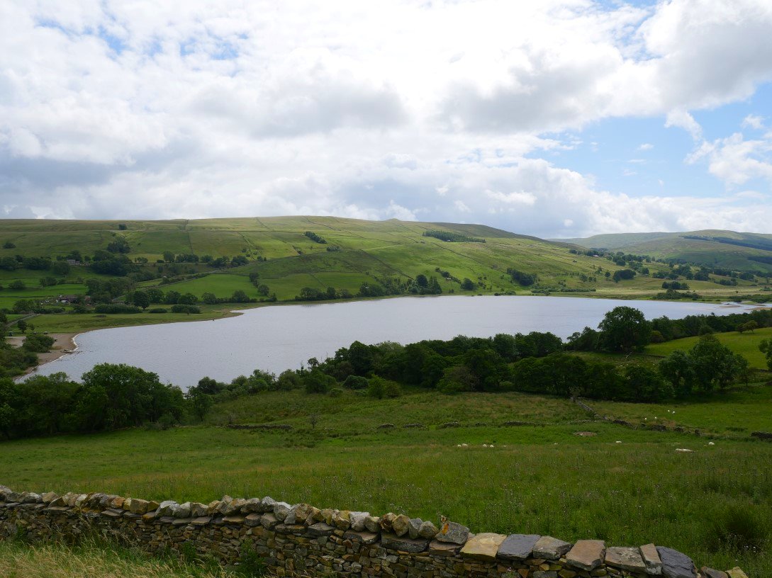
After an easy walk over Bracken Hill we get our first view of Semer Water and the valley of Raydale.
Semer Water bridge.
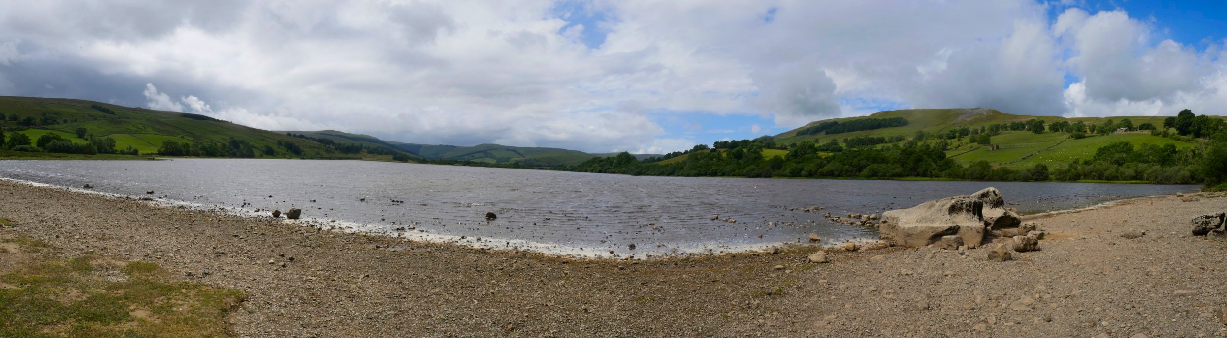
Wide view of Semer Water.
After an early lunch on the banks of the lake we climbed the steep road up to Countersett.
And then climbed a steep but lovely path behind Countersett Hall heading for Hawes End. The distinctive hill in the distance is Addlebrough.
And the distinctive hill above is Green Scar which if Sue's knee had been ok we might have climbed but then again it was now very warm and close so we might not
After a few yards on Crag Side road we descend to join the Cam High road which is an old Roman road. Yorburgh is the hill on the right and Wether fell is to the left.
It's brightened up again and it's easy walking along the Cam High Road back to Bainbridge.
A look back from where the Cam High Road meets the tarmac road.
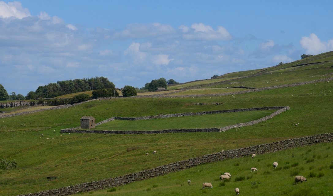
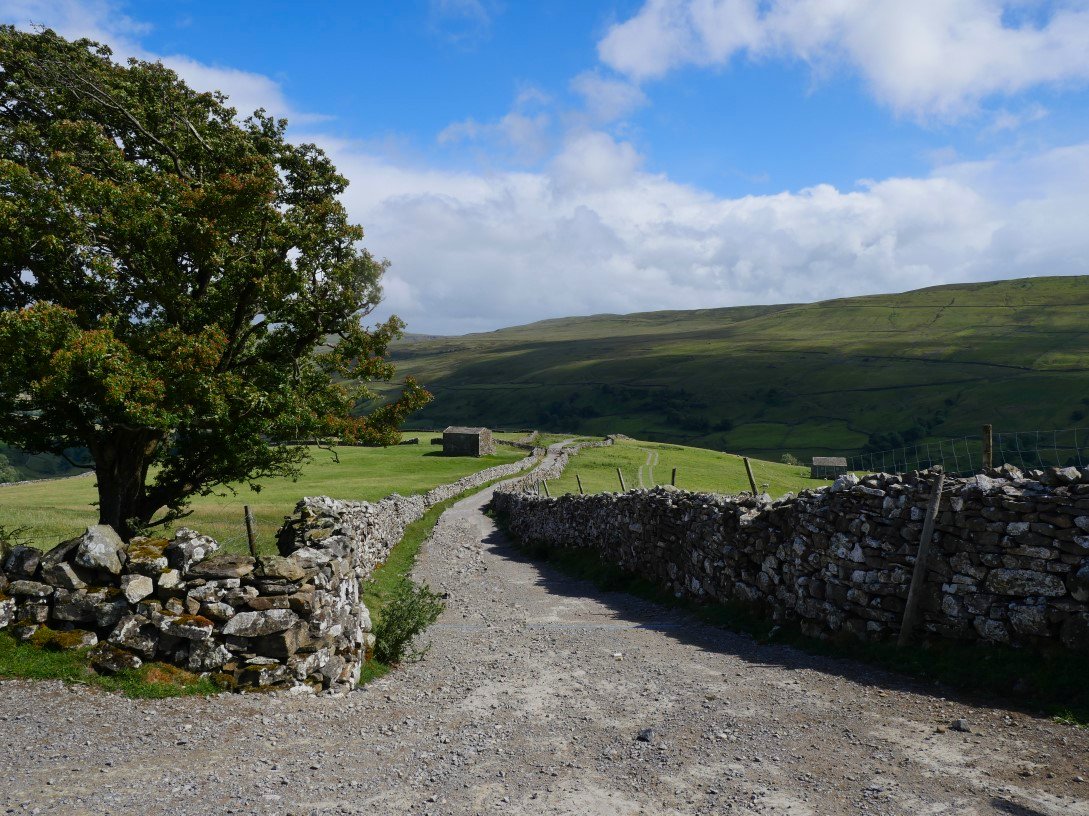
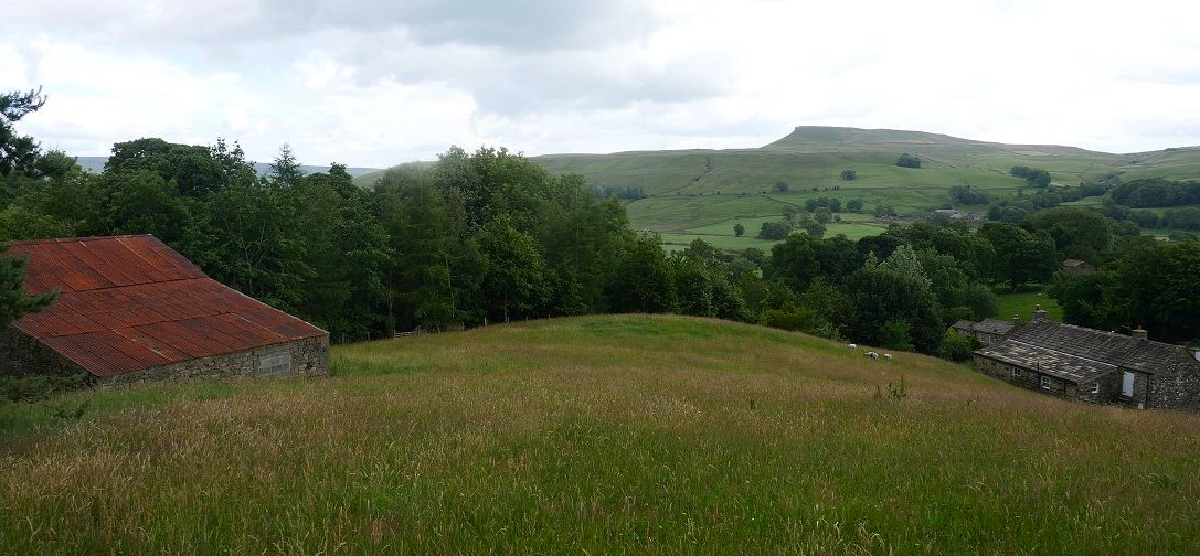
Typical Dales scene with limestone outcrop enclosed fields and field barn.
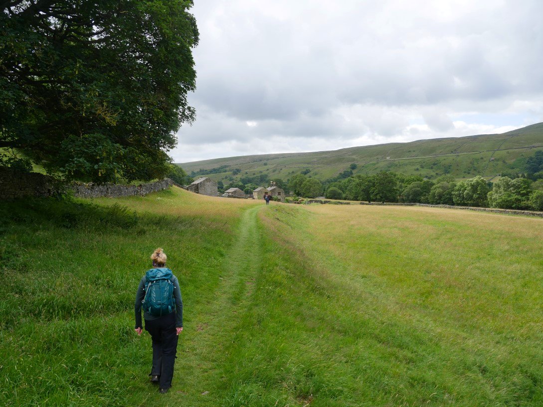
Today we followed the Swale down stream towards Ivelet. Although the flower meadows had been cut the recent growth was still lovely.
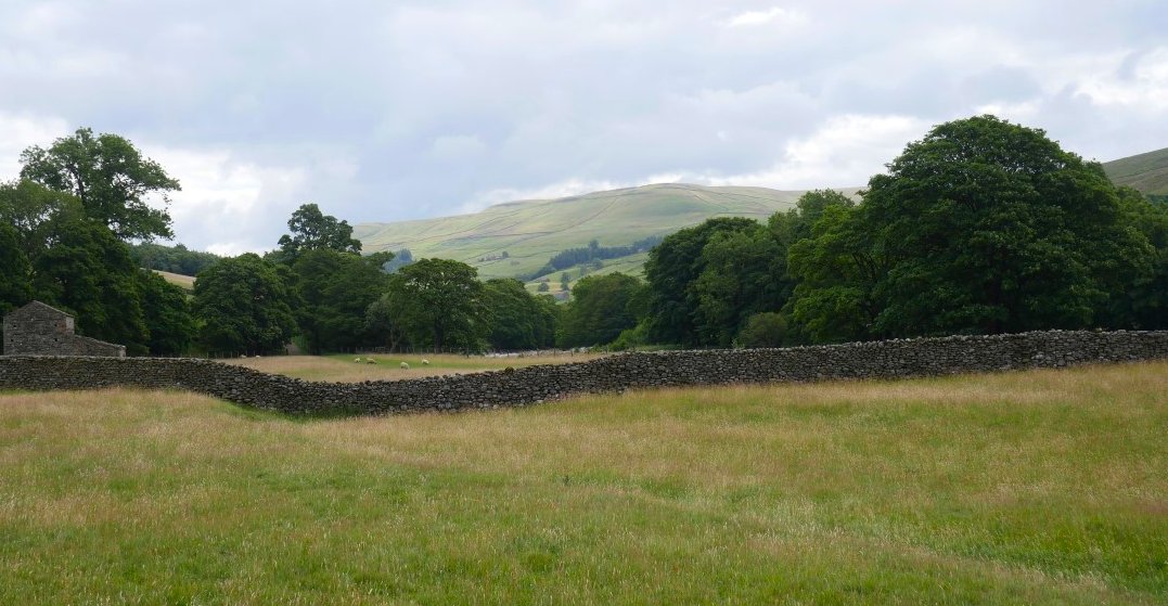
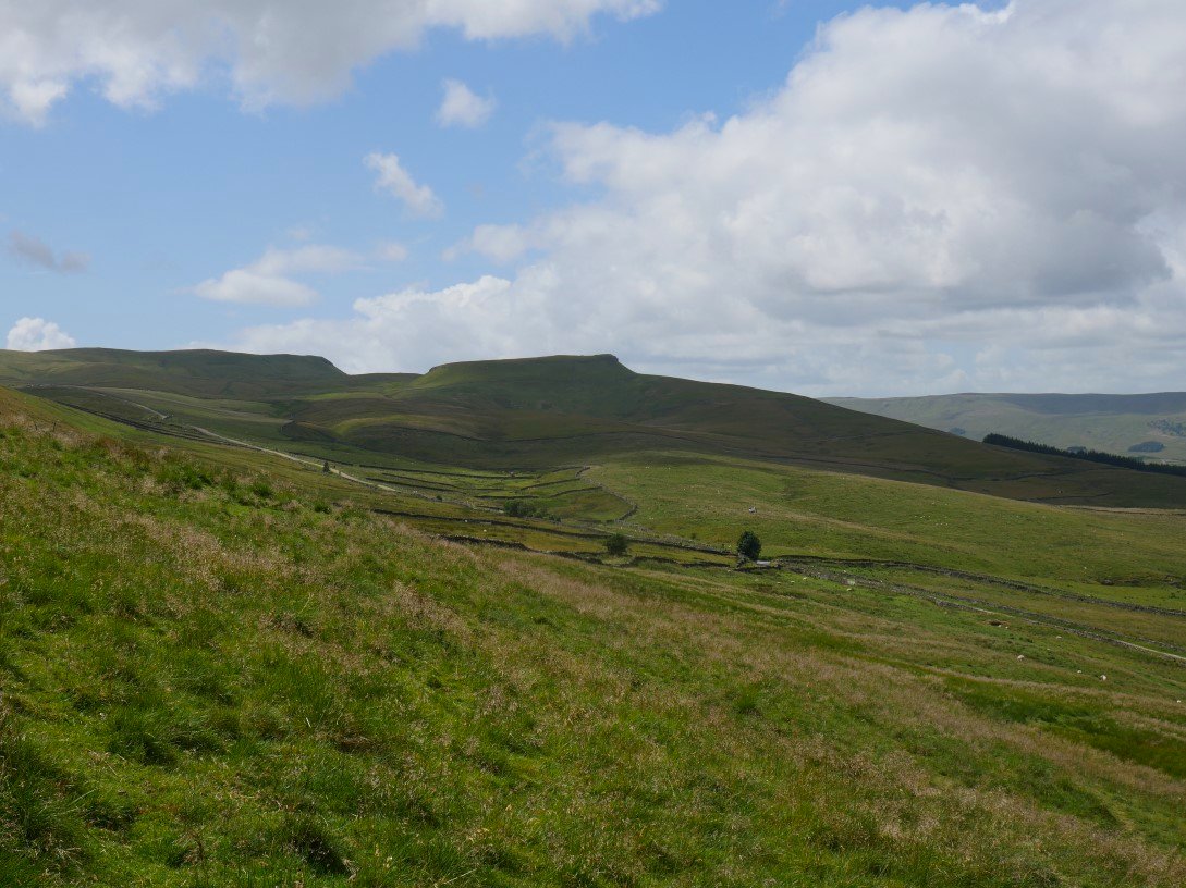
Looking back to Kisdon.
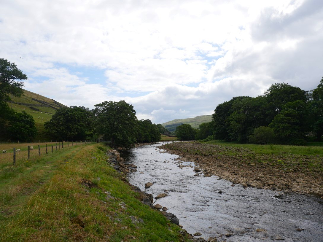
Lovely easy walking along the Swale.
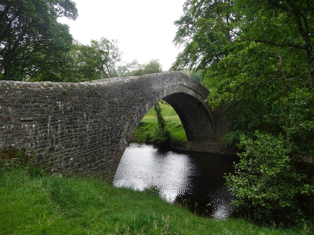
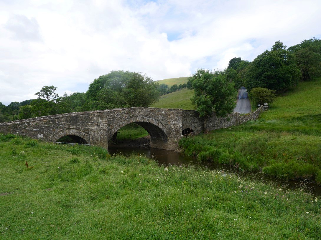
Ivelet bridge. We crossed the bridge and then the road and climbed up by Low Oxnop to Kearton's wood.
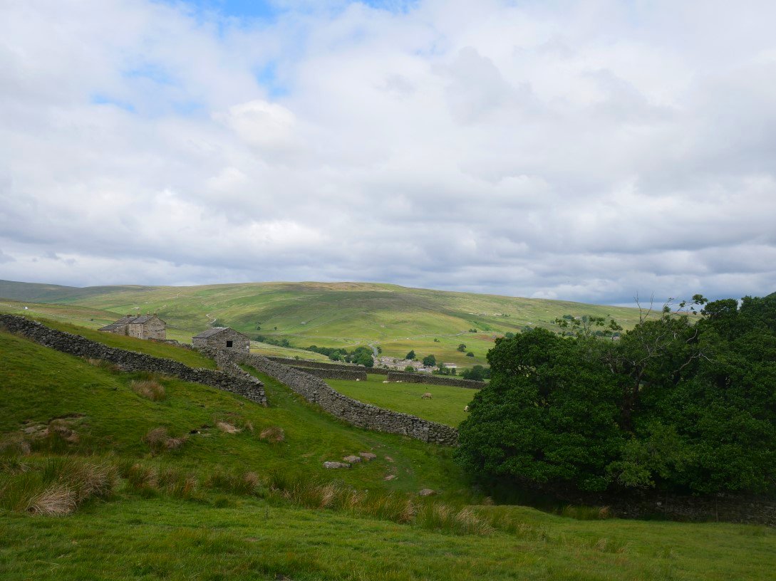
Looking back from Kearton's wood to Gunnerside.
Not wanting to be left out I put my foot down a rabbit hole and went full length but luckily on grass so only my pride was dented And soon we were back to Muker.
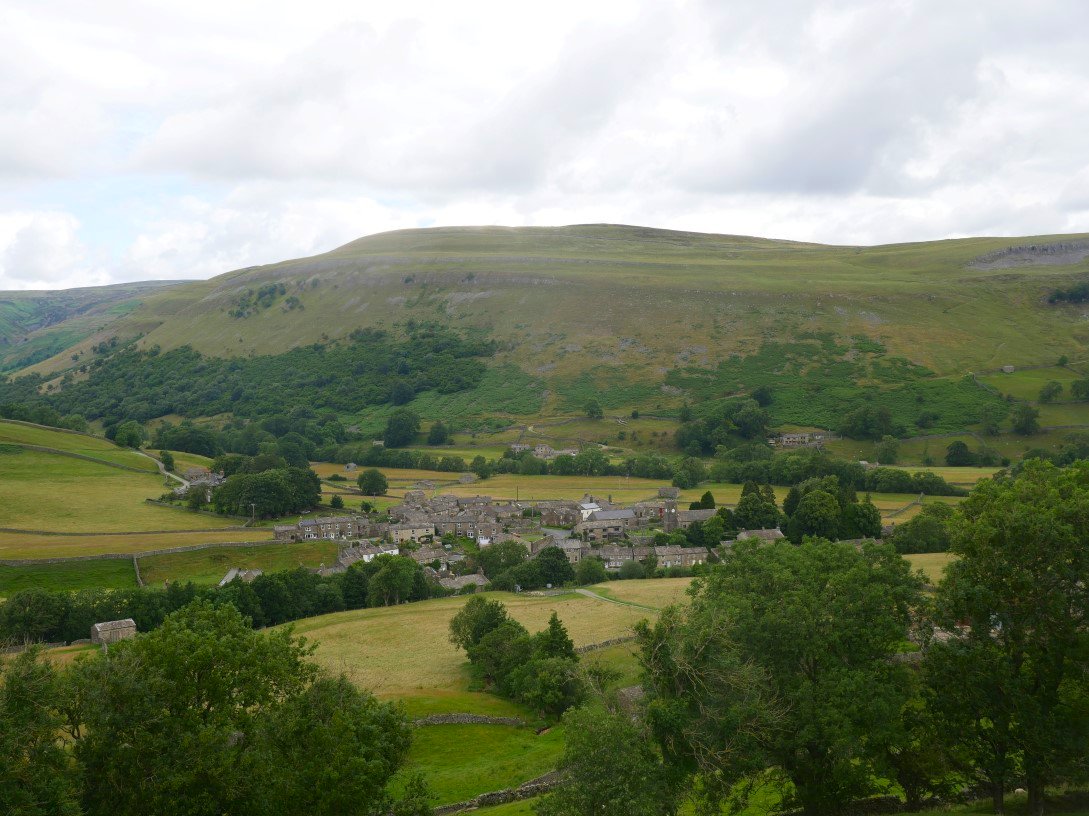
Just a short walk on our last day before we head home. We retraced our steps slightly from yesterday but turned right to climb Muker Side from where we could see the village.
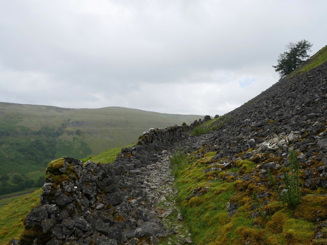
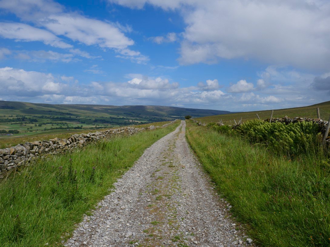
We noticed from studying the map that these well made tracks don't actually go anywhere i.e.. to another village or settlement but just peter out on the hillside we guessed that they were just a means of accessing the enclosed fields.
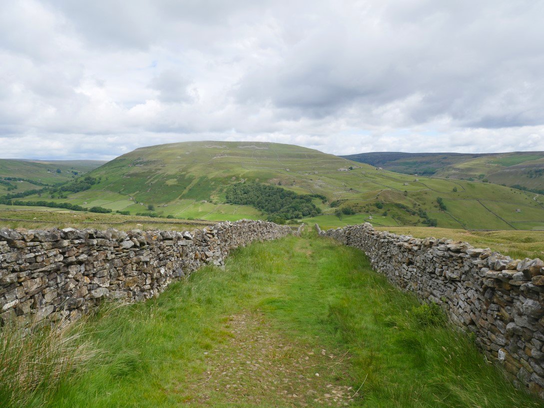
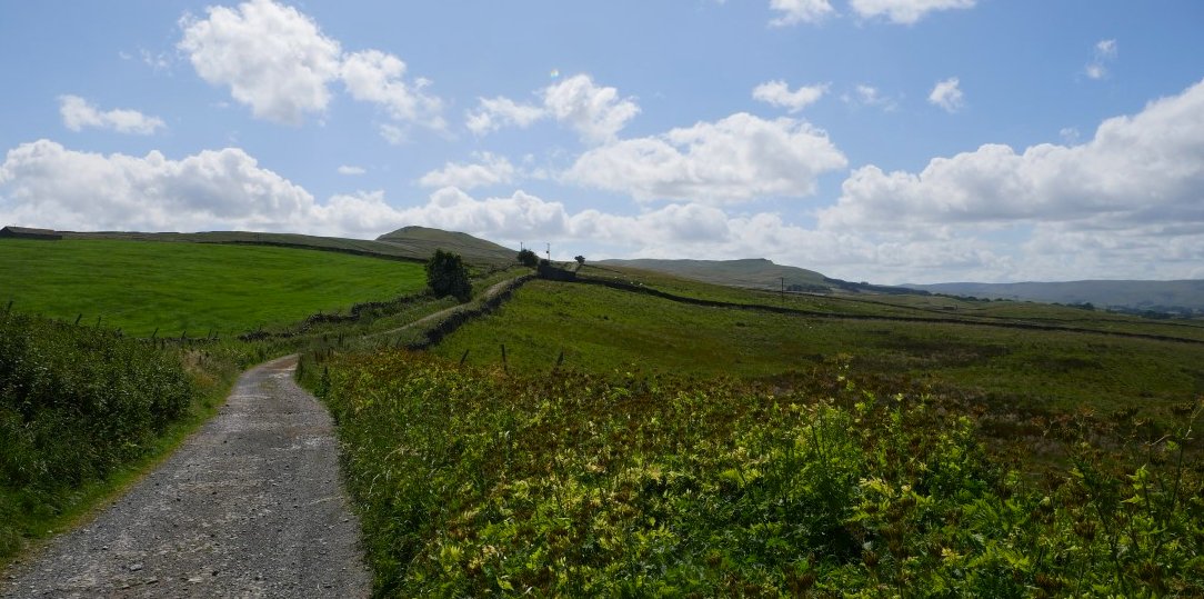
Just before our track peters out we turn right and follow another nice track downhill. Kisdon again in the distance.
We are heading for the village of Thwaite which can just be seen ahead.
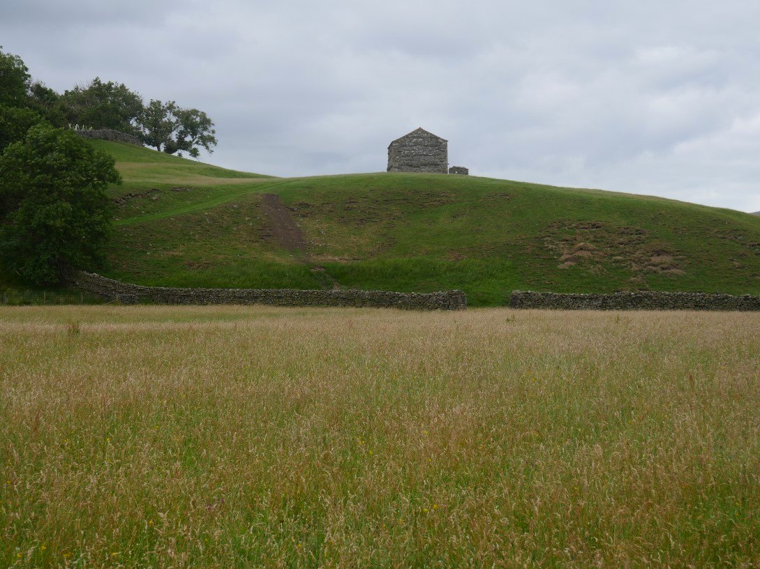
We pass through Thwaite and walk along more lovely field paths, passing this cowhouse ( as they are known locally ) on a hill.
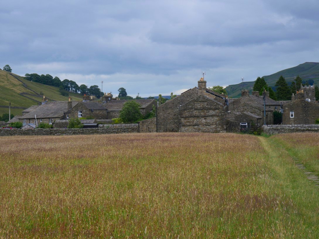
And for the final time we return to Muker.
Previous walk - Longsleddale and Wren Gill quarry - Next walk - Place Fell and Beda Fell