WWW.KARLSWALKS.CO.UK
PICTURES AND TRIP REPORTS FROM MY WALKS IN THE ENGLISH LAKE DISTRICT
|
E-mail - karl@karlswalks.co.uk |
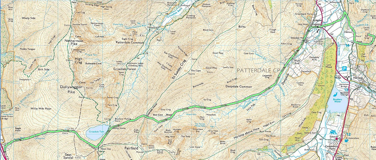
This weekend I thought I'd have a night on a favourite pitch and a walk to it taking in a couple of my favourite places in the Lakes.. As I have done a few times now I left my car in Ambleside and caught the bus. This time I took the 555 to the top of Dunmail Raise from where I walked up the lovely path by Raise Beck. The weather on Saturday was a bit " meh", pleasantly mild and not too windy but with low cloud and no sunshine to speak of. The weather on Sunday was far worse than forecast so I altered my plans
The Raise Beck path keeps faithfully to the beck so you get a great view of the several cascades and pools as you climb the not too steep ascent.
The lowest of the cascades.
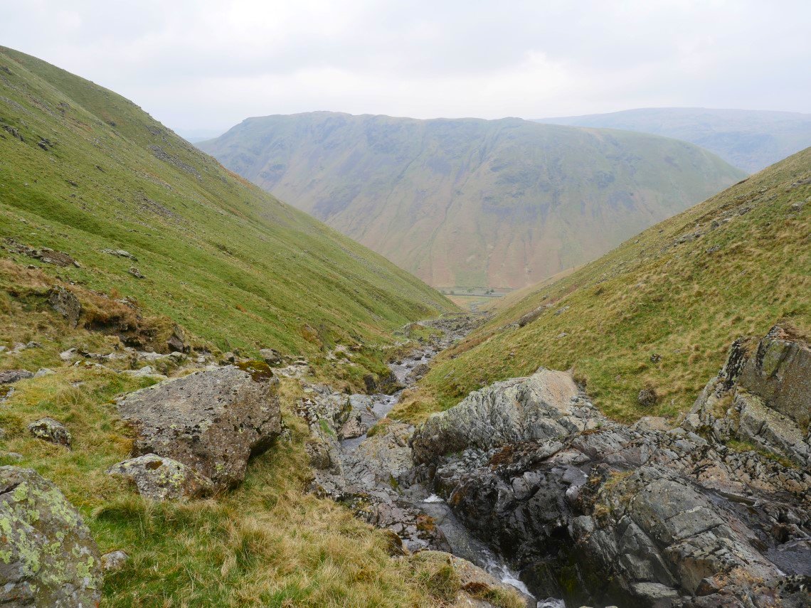
The view back down to Dunmail Raise with Steel Fell above.
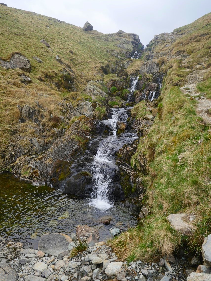
Another cascade higher up with a nice pool beneath.
.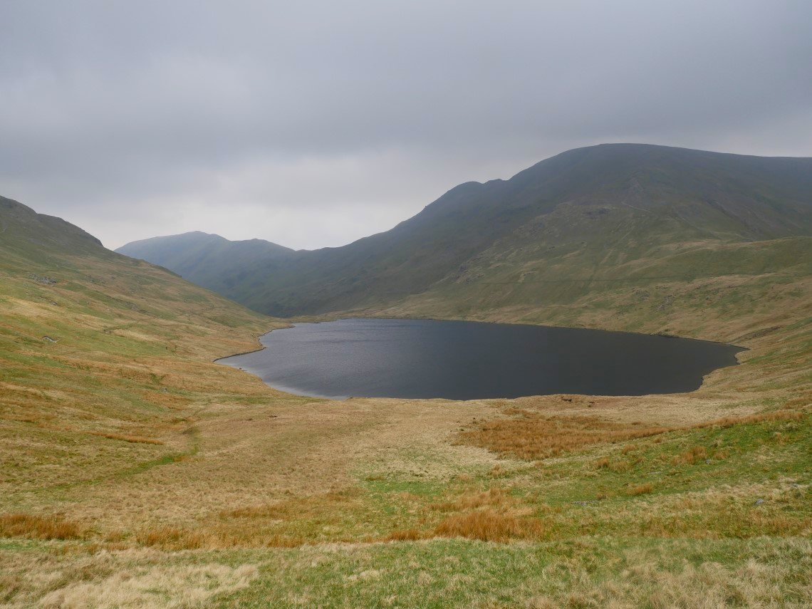
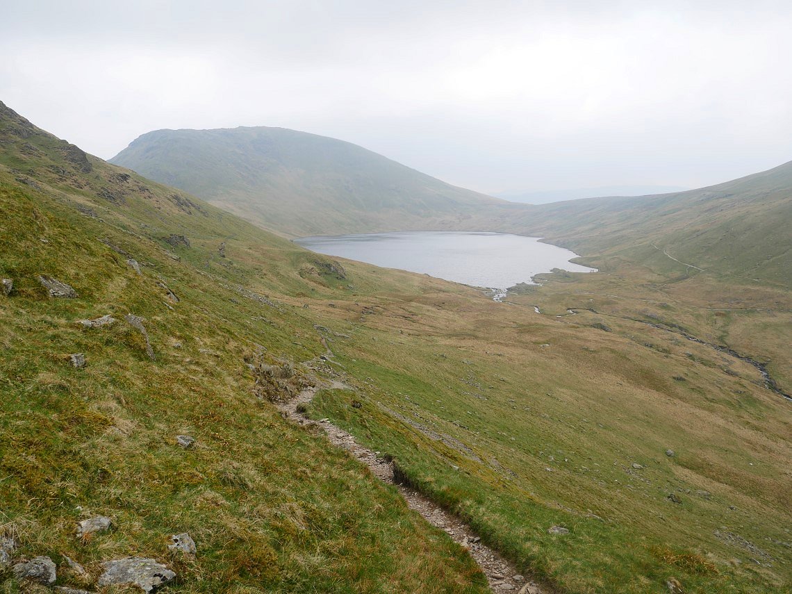
Not too far after leaving the waterfalls Grisedale Tarn Appears.
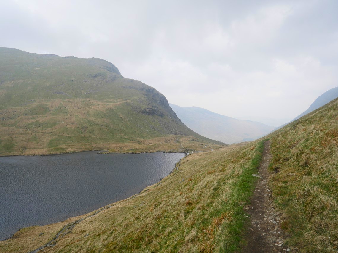
Today I took the path on the south east of the tarn which is probably slightly longer but is a lot drier. Here I'm on the slightly higher of the two paths because I'm taking the slanting path up to Deepdale Hause. The normally excellent view down Grisedale is lost in the haze.
Looking back down the path to the tarn and Seat Sandal.
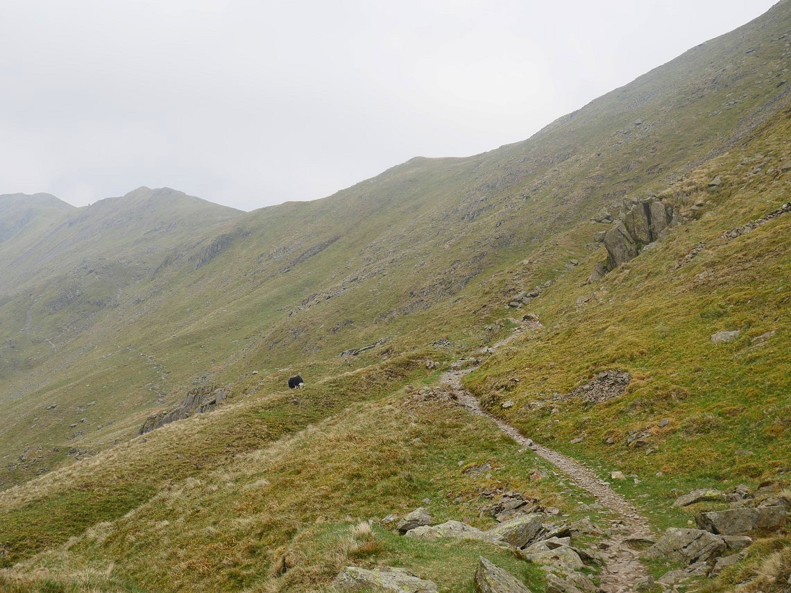
And looking up towards Deepdale Hause.
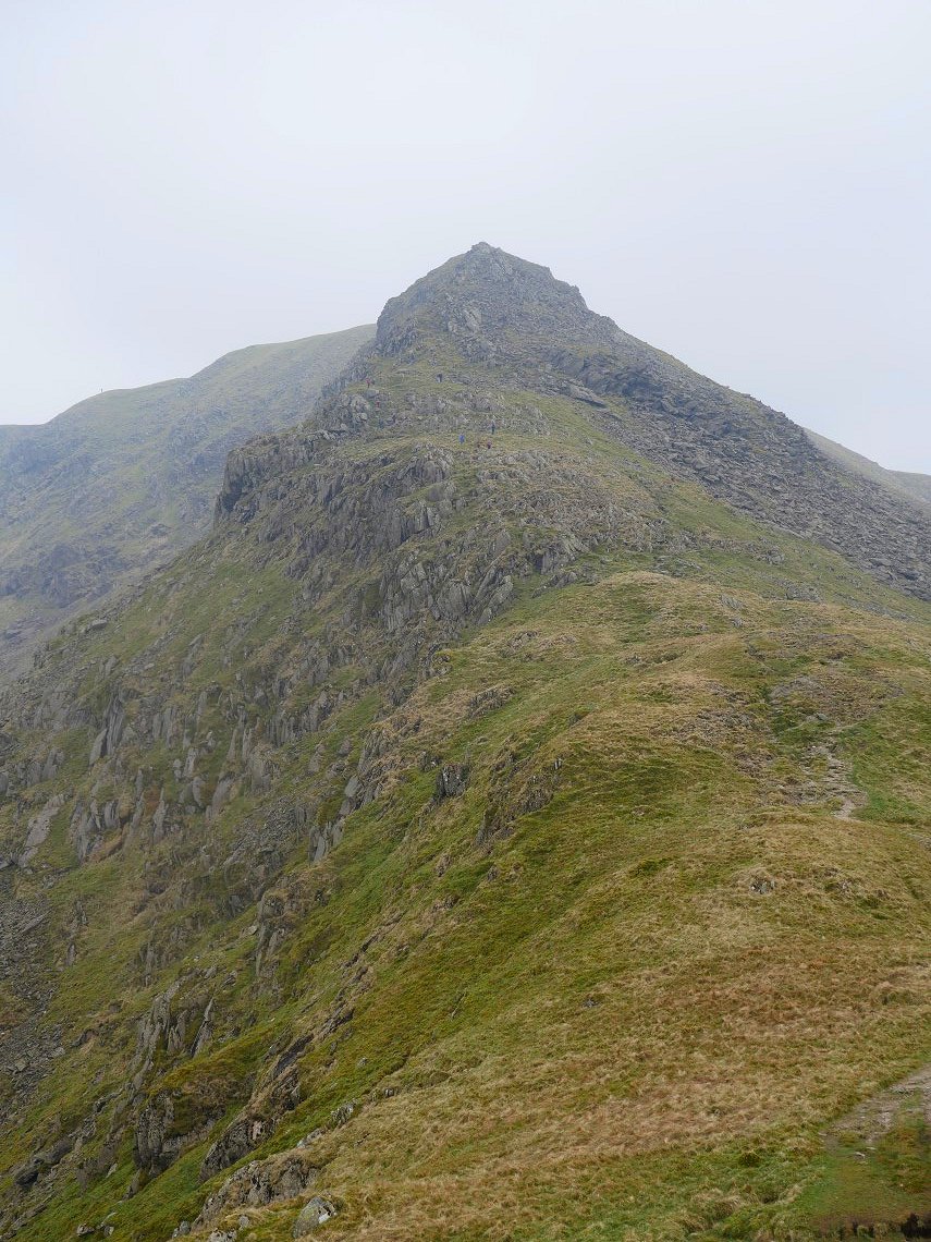
The path brings you out just below the start of the climb to Cofa Pike.
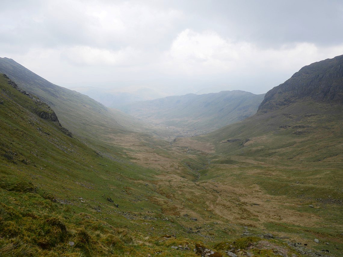
It's a climb down for me though, there is a trace of a path but in places it's easier to find your own route down the grassy slopes. Again the normally excellent view along Deepdale has fallen victim to the haze. ( But it's still pretty good )
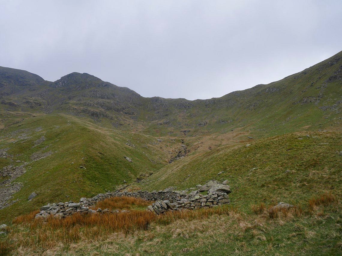
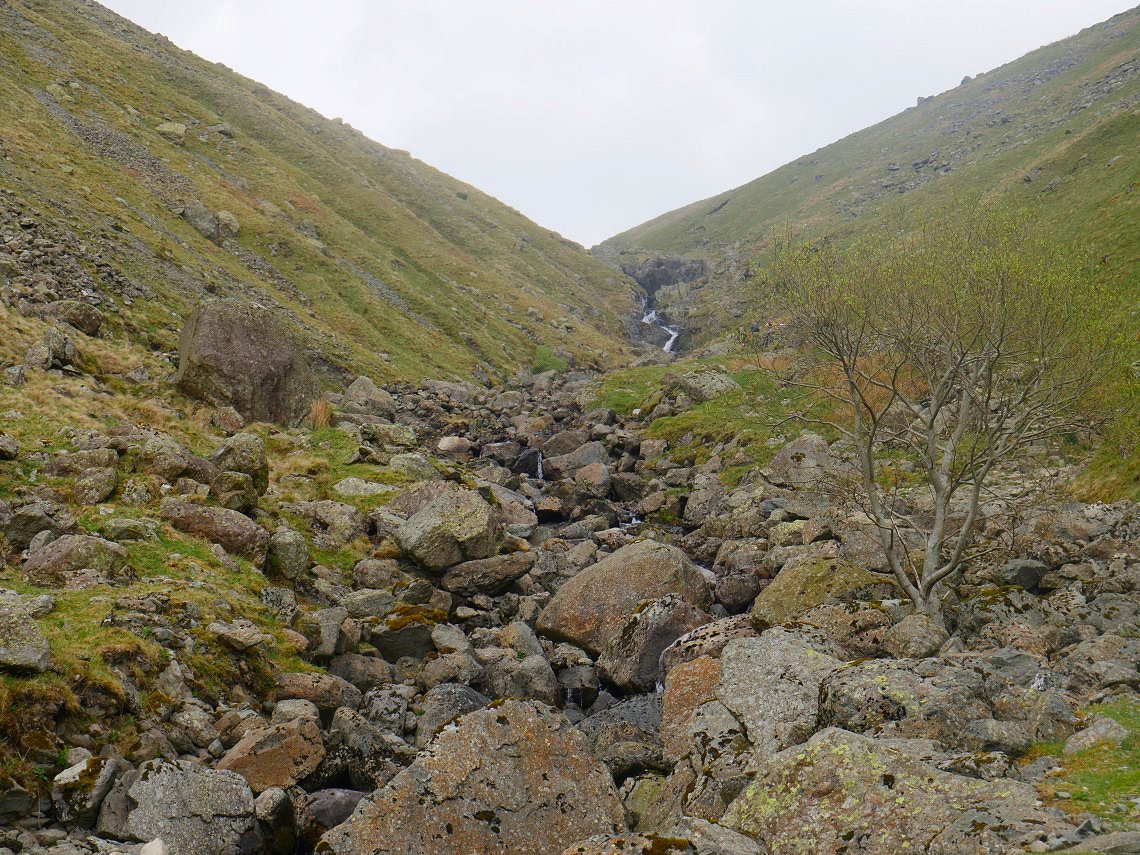
The headwall of the valley seen from the sheepfold. From here to the falls in Deepdale Beck is quite rough going, again there are bits of a path but mostly you tend to find your own easiest route.
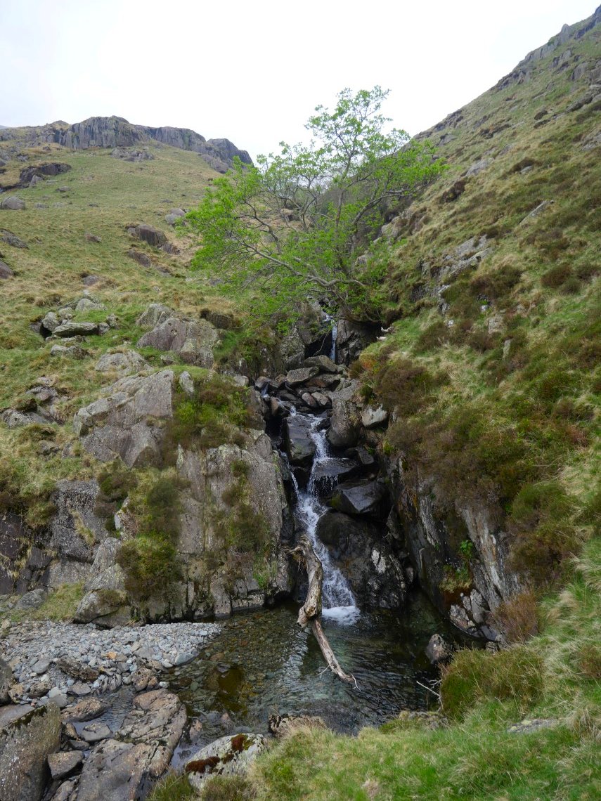
And here are the falls in Deepdale beck/
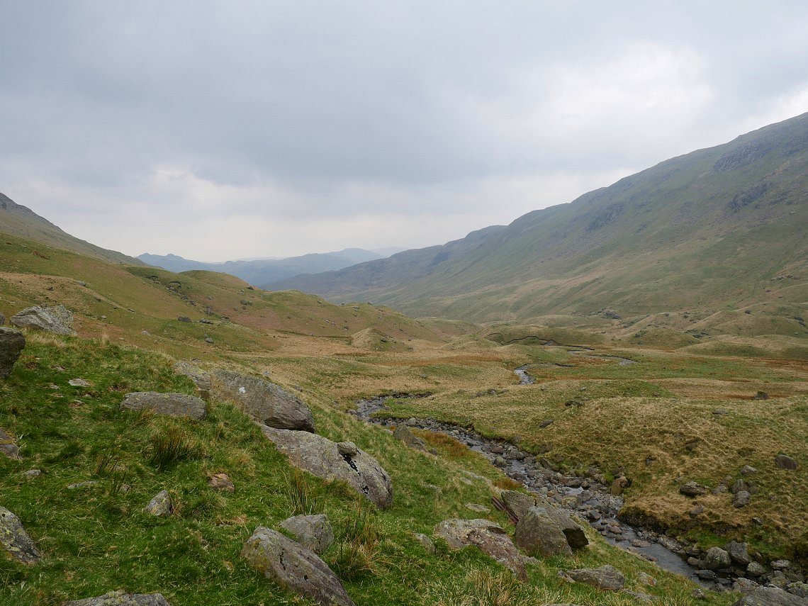
From here the path is more obvious and what a lovely path it is along this beautiful valley.
I had been looking forward to reaching the tiny tarn in which you usually get a nice reflection of the great bulk of Greenhow End ( although there might not have been much of a reflection today ) so I was really disappointed to find it dried up.
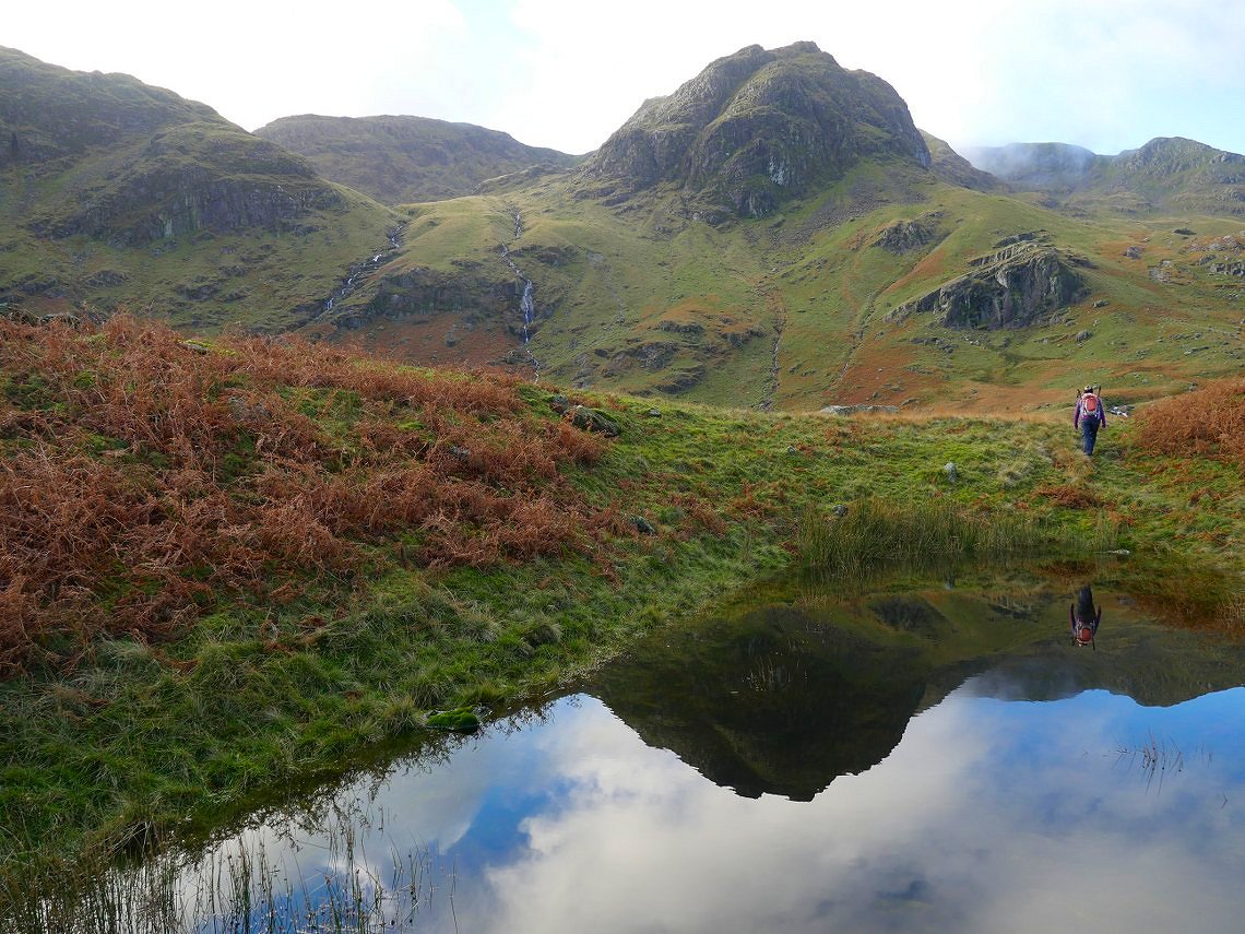
Here's a picture of the tarn and reflection from a few years ago.
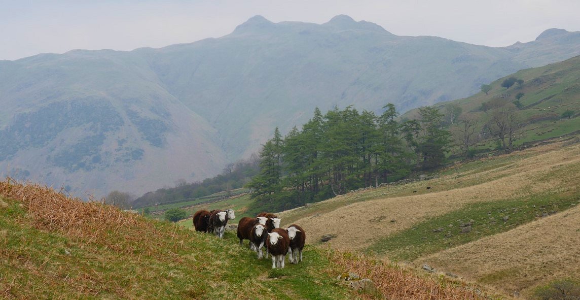
As I neared the end of the valley I had to get off the path pretty sharpish as this lot were coming through and they weren't stopping for anyone. The twin tops of Angletarn Pikes are in the background.
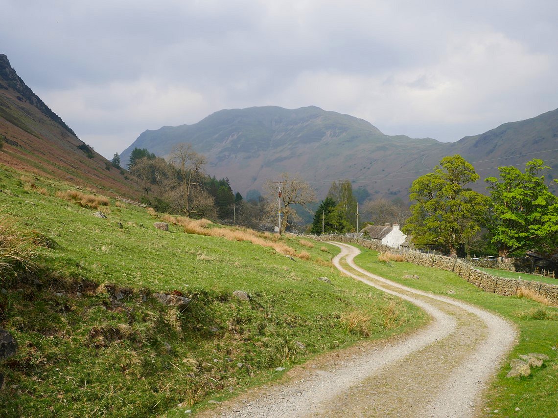
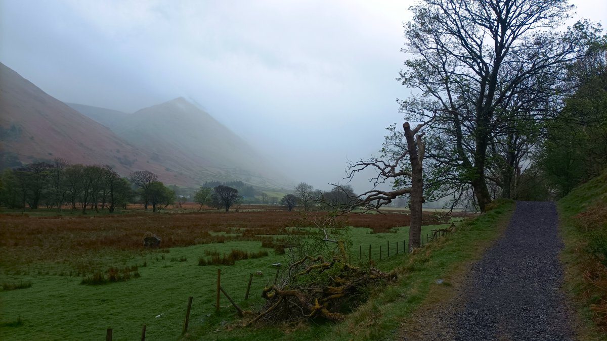
And Place Fell is in the background as I reach the farm track. From here I crossed the valley bottom and turned right on to the track leading to Hartsop.
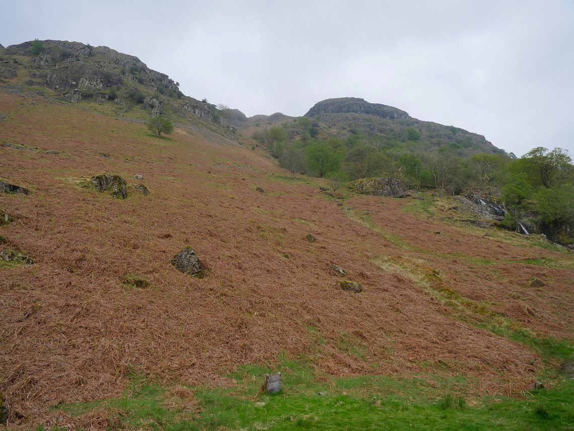
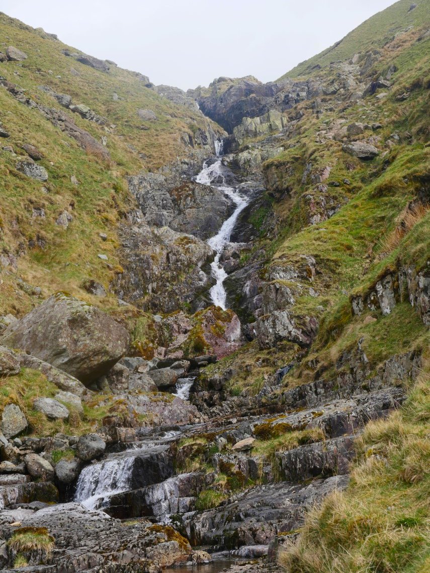
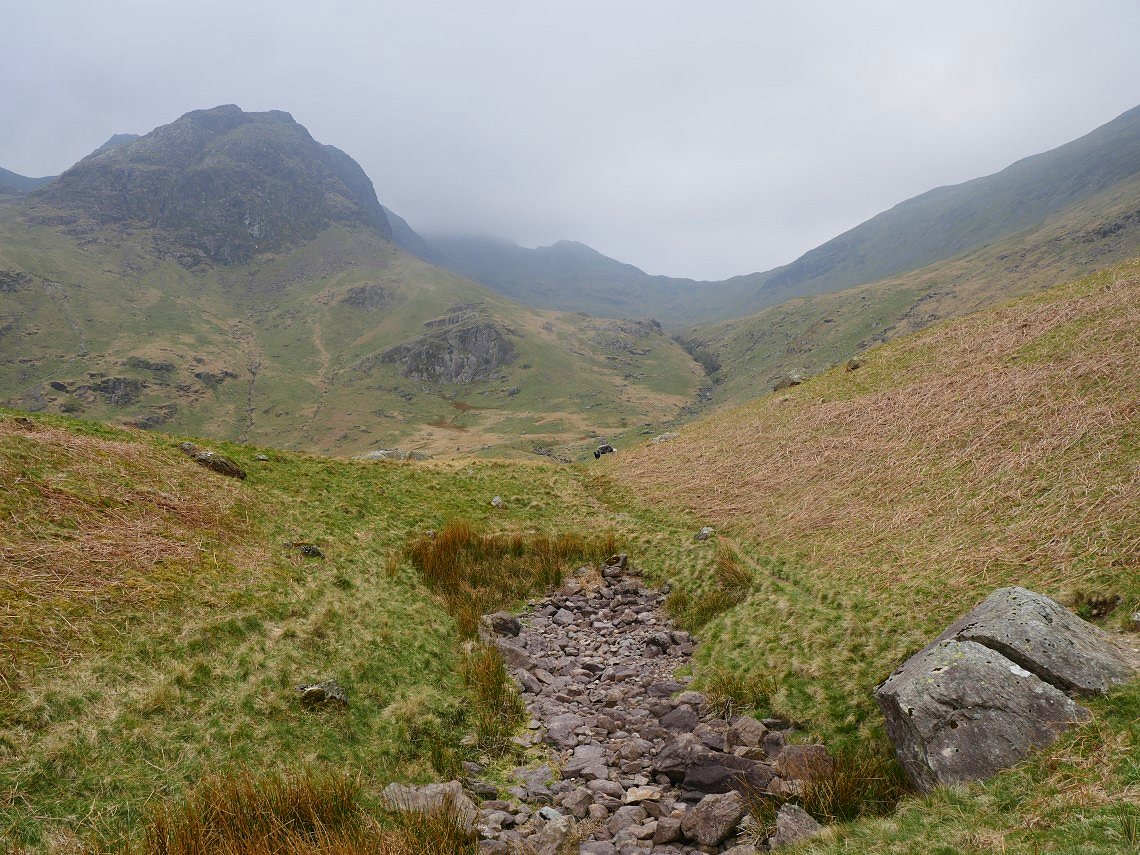
A few minutes down the track I came to my final climb of the day. I think I've said before that the climb up by Angletarn Beck is my favourite way to get to Angle Tarn and It's also the way to my campsite.
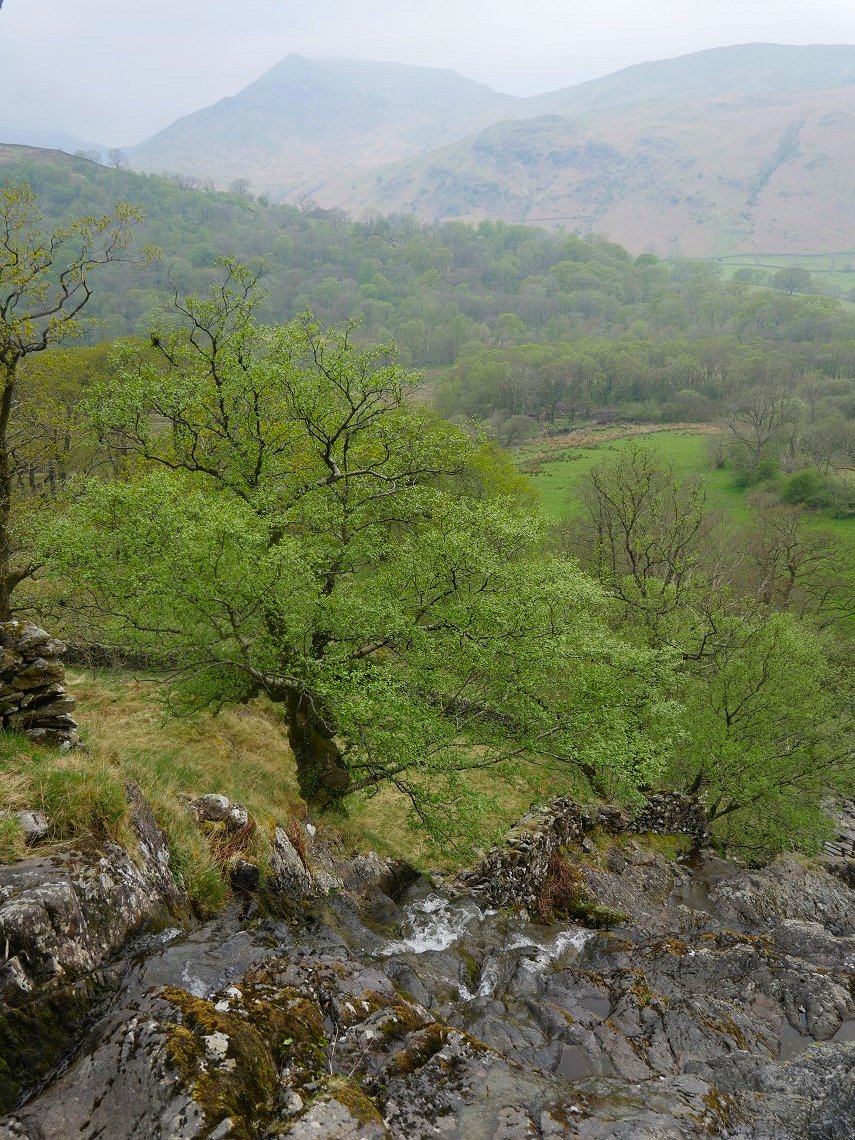
It's a steep climb but is chock full of interest, here I'm at the top of the steepest of the waterfalls. Gavel Pike is the distinctive pointed peak in the distance.
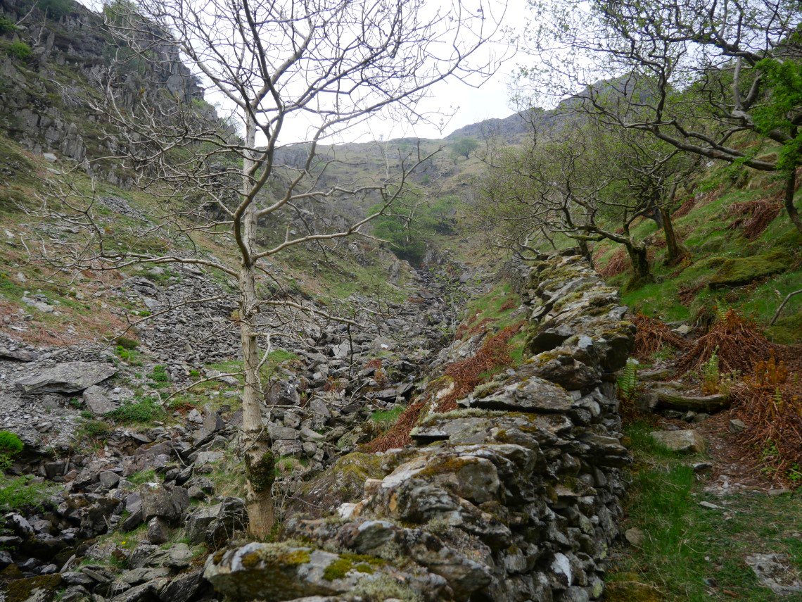
After climbing around the falls you come to this rocky section. Normally when I've not got a heavy pack I would take the rocky scramble on the left of the beck but today I'm taking the slightly easier route by the wall.
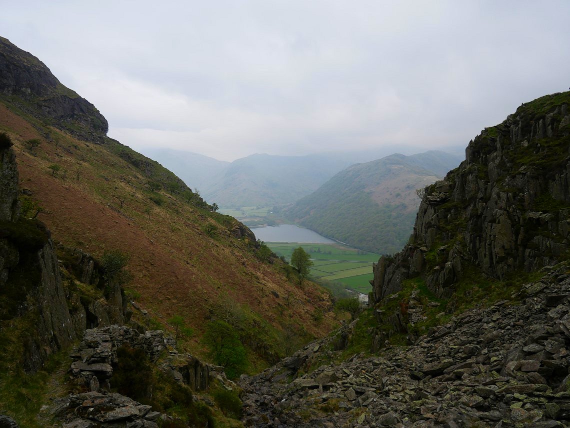
When Brothers Water appears you know you are nearing the end of the rough stuff.
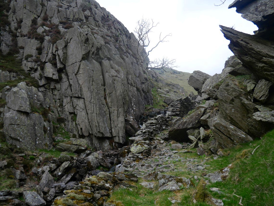
If you had climbed up the left of the beck you would have to cross here as this cliff face hangs over the water. Just beyond here are the grassy slopes where I cross the beck and follow a sheep trod to Fall Crag.
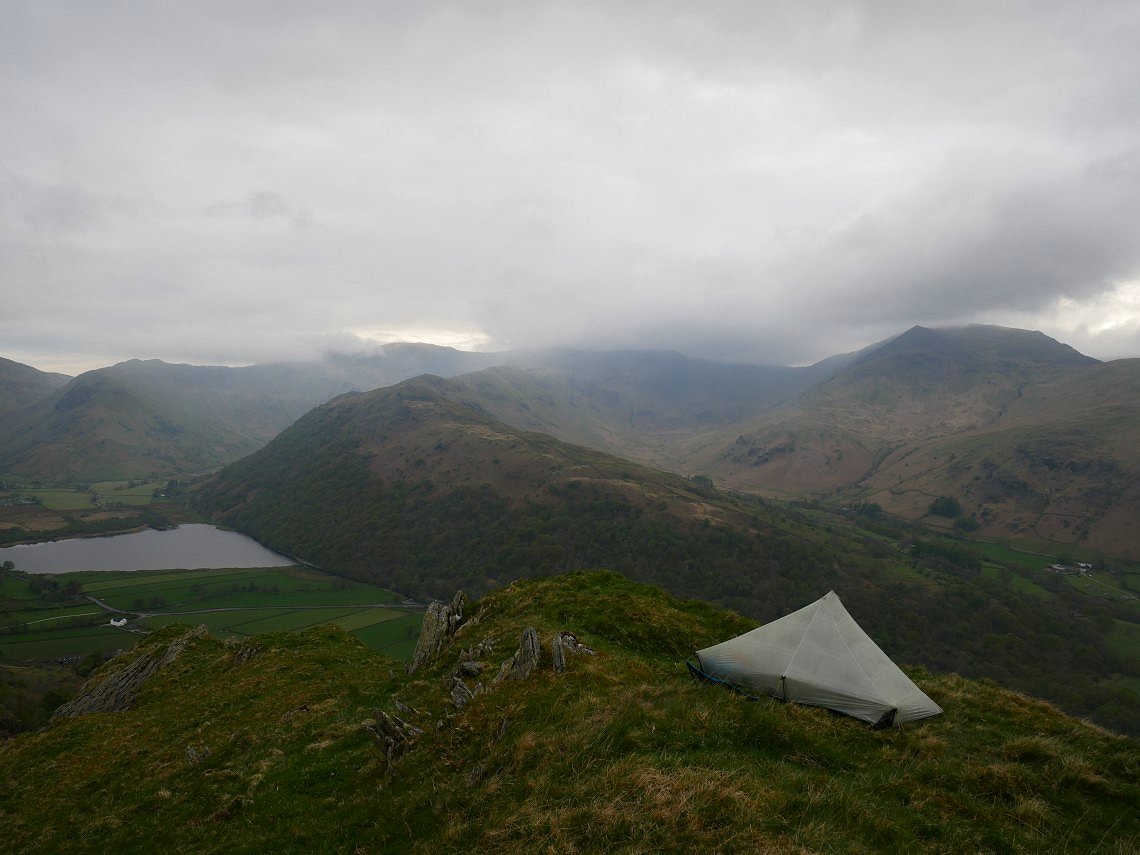
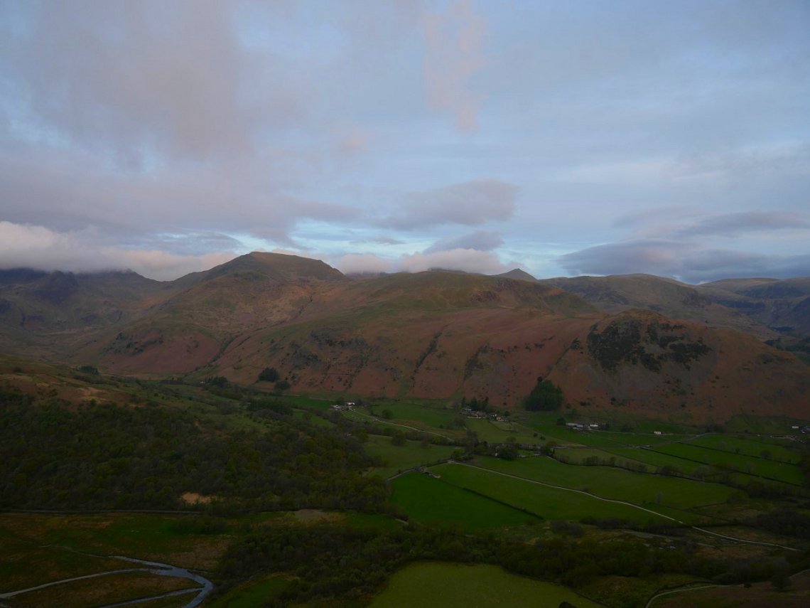
The sun had flitted in in and out earlier in the day but it's gone a bit dull now. Brothers water and Deepdale are separated by the long ridge of Hartsop-above-How. St. Sunday Crag is the hill to the right.
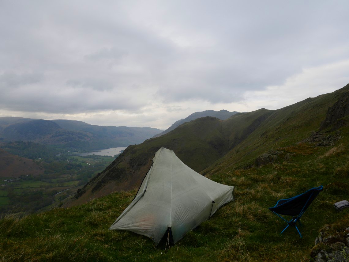
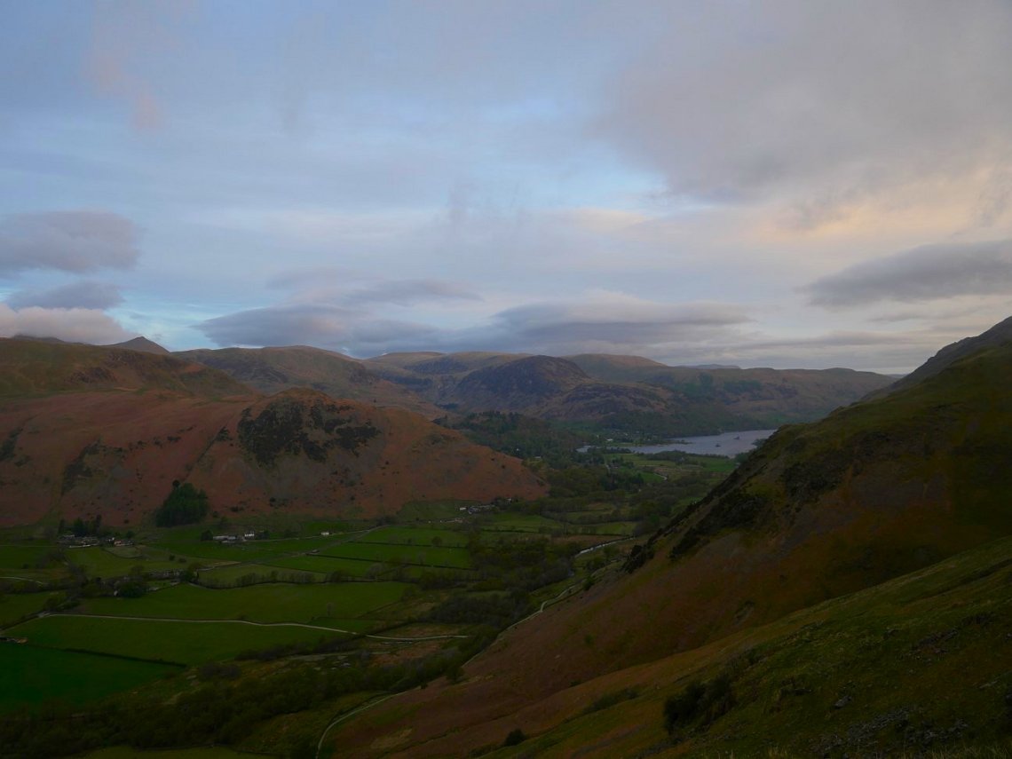
The southern end of Ullswater can just be seen. Place Fell is the hill to the right background and to the left of Ullswater are Glenridding Dodd and Sheffield Pike.

As sometimes happens a dull day surprises you with a decent sunset.
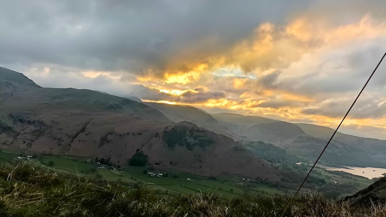
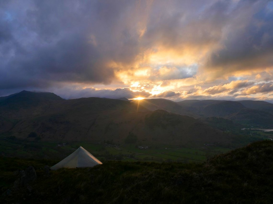
The last light of the day. The night was not cold and was quite still so I slept soundly.
I was up early and was pleased to see what I thought was the start of a clearer day.
Not the dramatic sunrise and inversions that I got last time I camped here but still a good start to the day.
Unfortunately though whilst I was making my breakfast the skies clouded over and the fell tops disappeared.
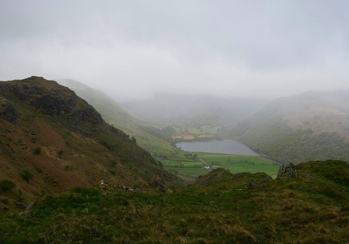
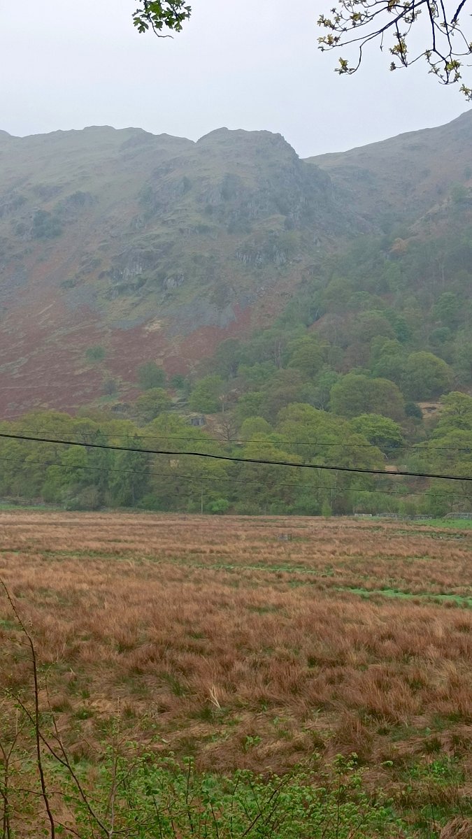
Originally I had planned to walk back to my car in Ambleside by way of High Street, Thornthwaite Crag and Caudale Moor but I saw little point in climbing into the mist so instead I thought I'd head down towards Hartsop and If the weather didn't improve I'd catch the bus. Rather than just descend back the way I came I decided to explore the rough looking ground underneath Brock Crags. This is looking back to Fall Crag from my pathless trek above Lingy Crag.
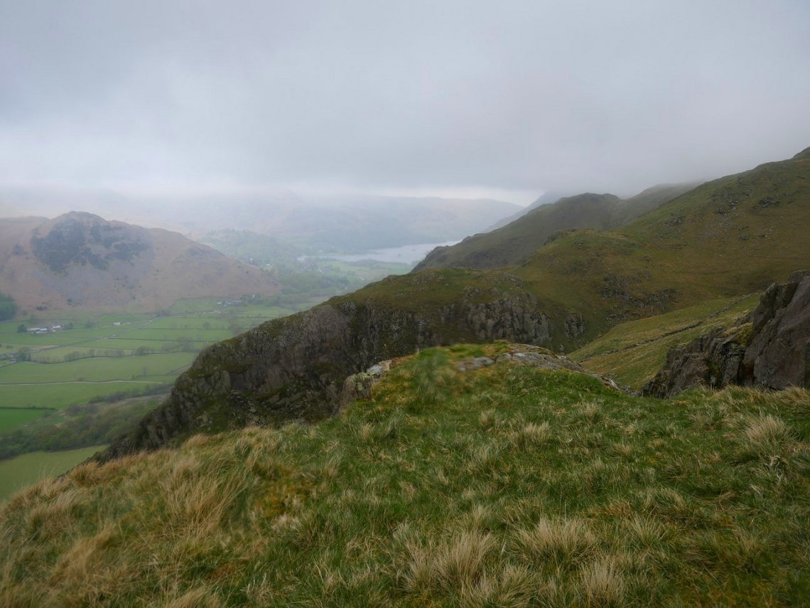
I came across several good camp spots like this one looking down to Fall Crag.
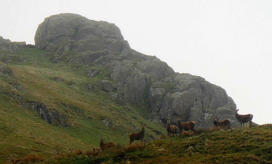
A small herd of deer watching me from higher up towards Brock Crags.
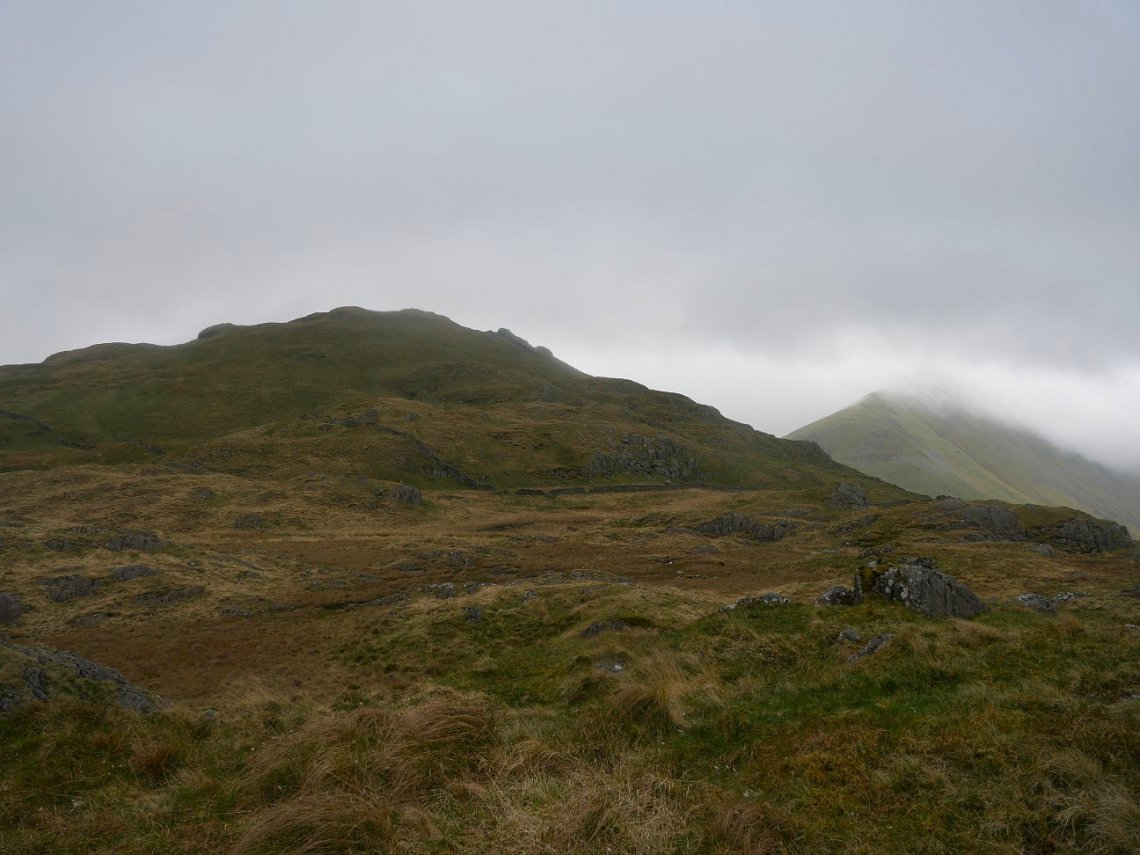
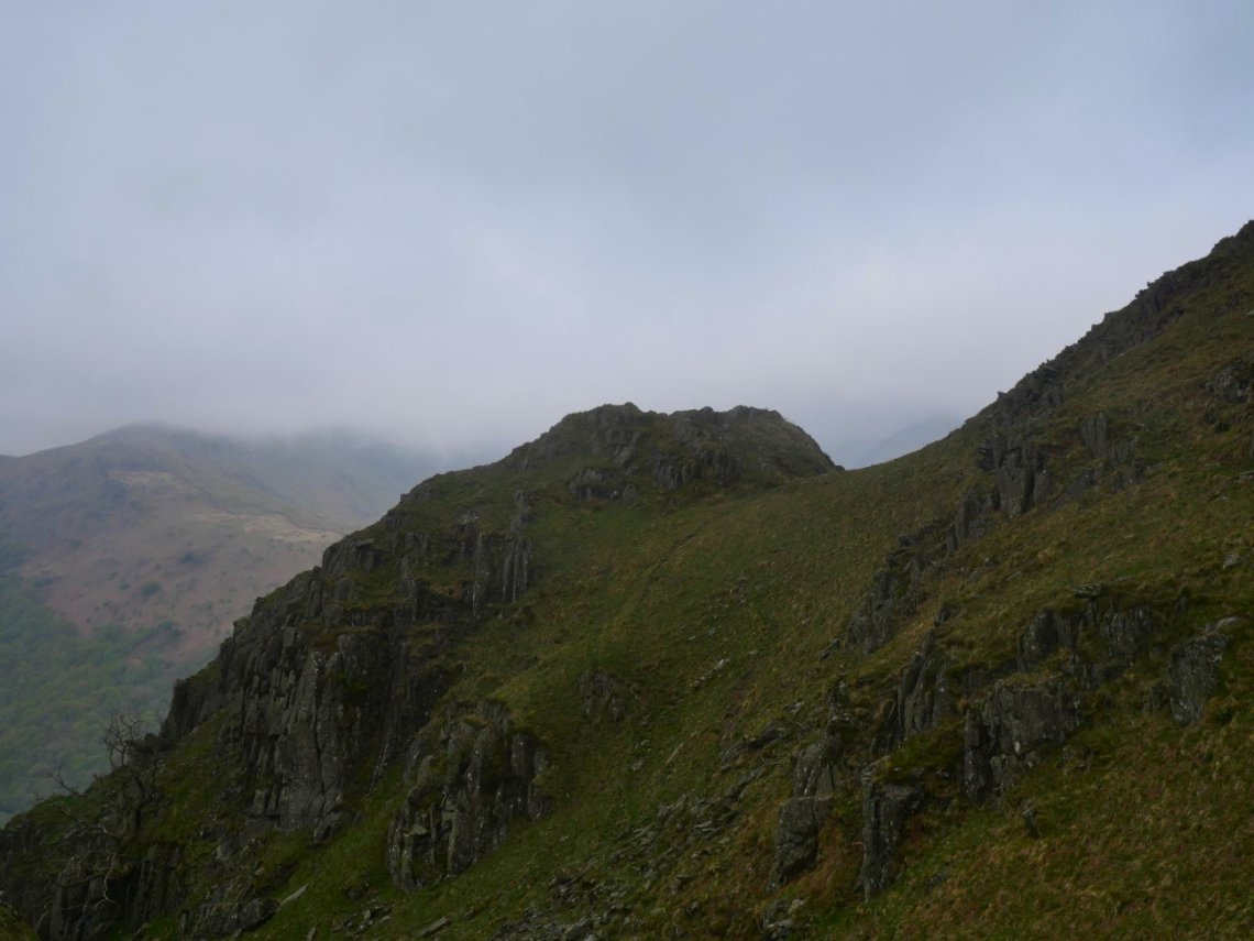
Brock Crags. I was surprised at the extent of the rough ground between the top of Brock Crags and where the land dropped steeply to the valley and I h ad a good tramp around exploring.
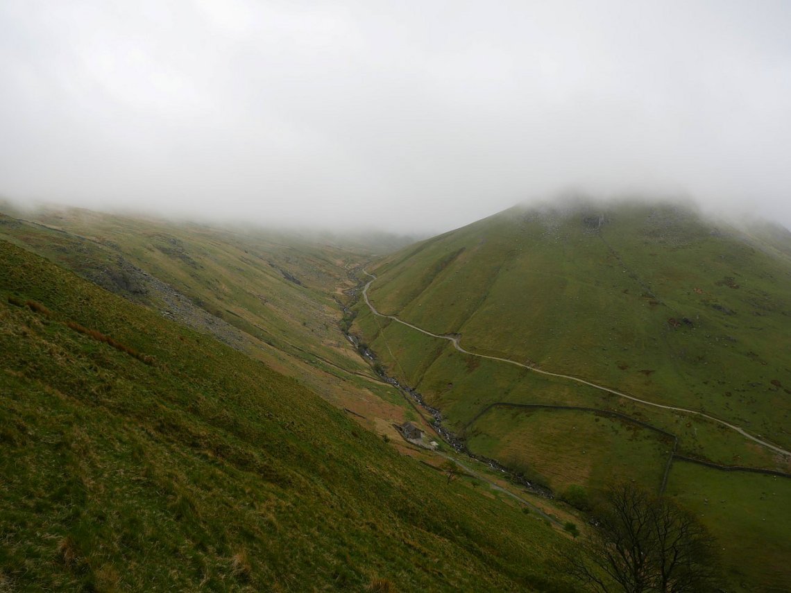
Eventually the rocky stuff ended and I found myself crossing the very steep grassy slope above Hayeswater Gill. I slanted my way down until I came to the path from Hartsop. As you can see the weather doesn't seem to be improving and in fact it was now drizzling with rain.
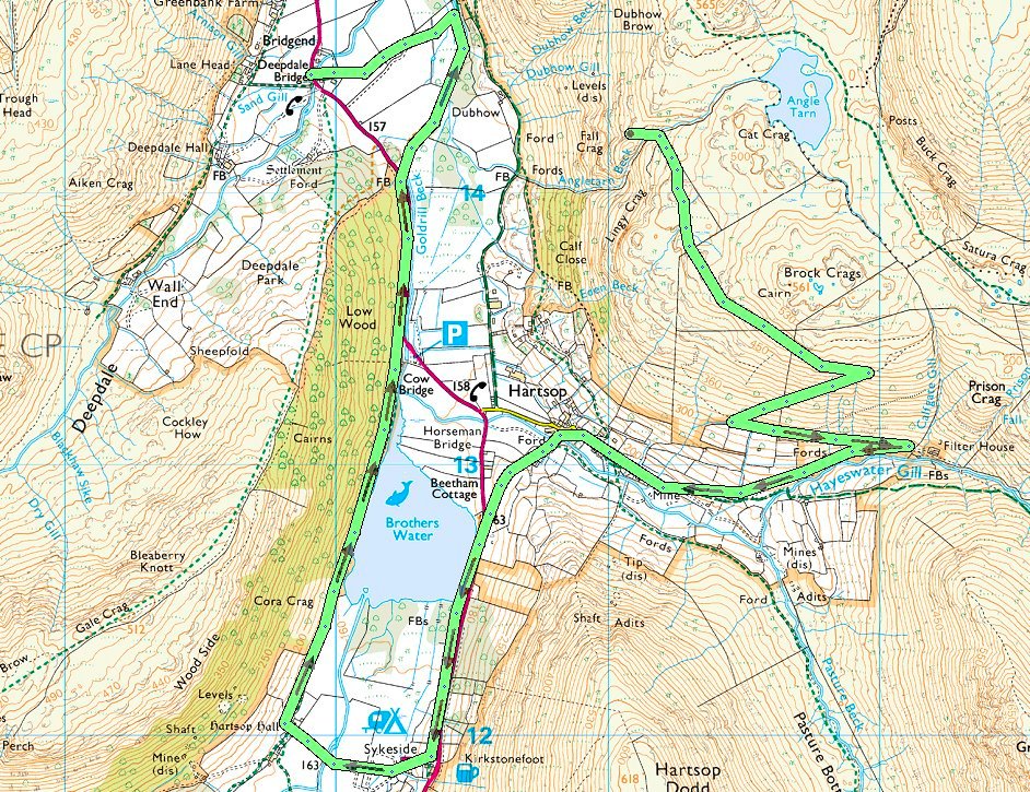
I had the brilliant idea of walking to the camp site at Sykeside to hopefully grab a second breakfast but unfortunately I was half an hour too late so after sheltering from the now persistent rain I decided that I would spend the hour or so before the bus came by walking back around Brothers Water. I did consider walking up over the Kirkstone pass but I couldn't bring myself to set off into the mist which has now covered the pass completely.
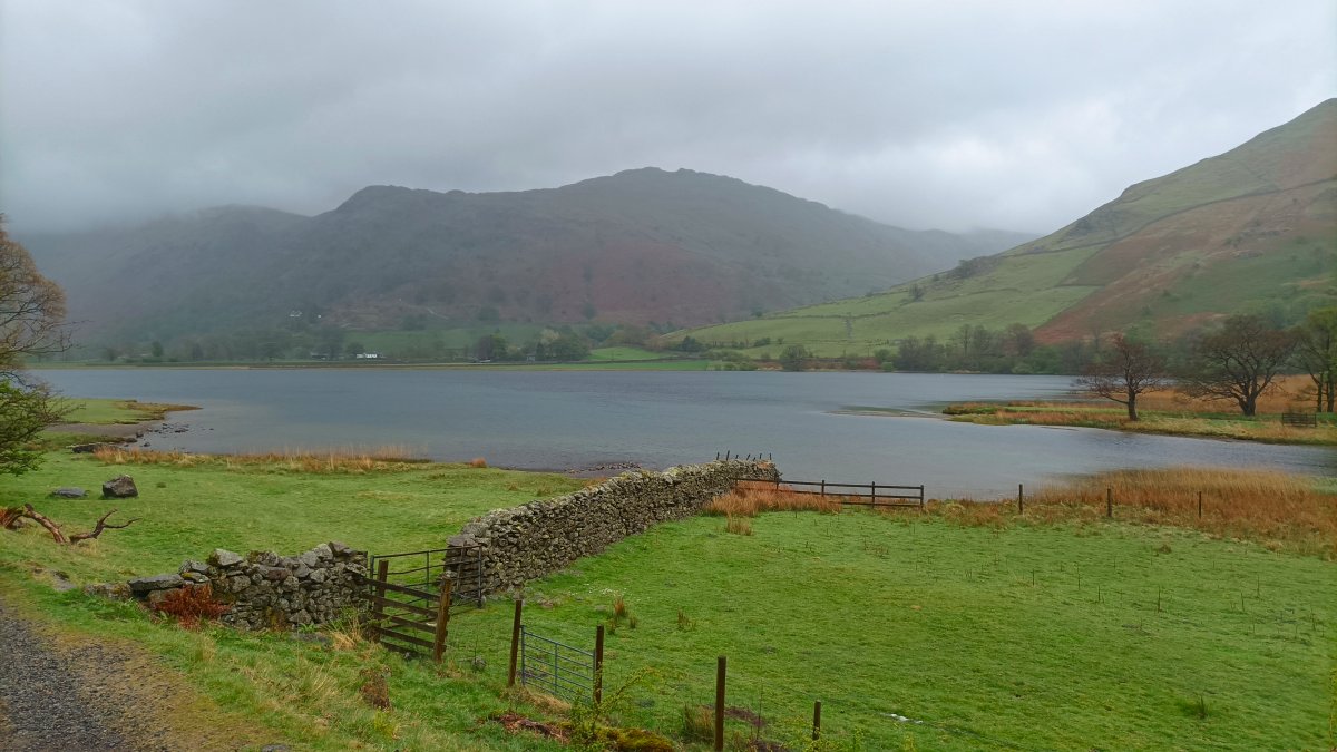
Brothers water in the rain.
And a last look at my camp site.
Previous walk -- Black Combe from Hallthwaites - Next Walk - Shap Summit to Brunt Tongue and back